A FIRST LOOK · STATEWIDE FILM
Washington on film
A statewide introduction by Trip Insight, from river country to mountains and the Pacific. Then plan your own arrival and first night.
Start with Seattle & Issaquah →
WASHINGTON STATE · ROUTES WITH A STORY
Mountain roads, Pacific shores and the discoveries that make the drive worth taking.
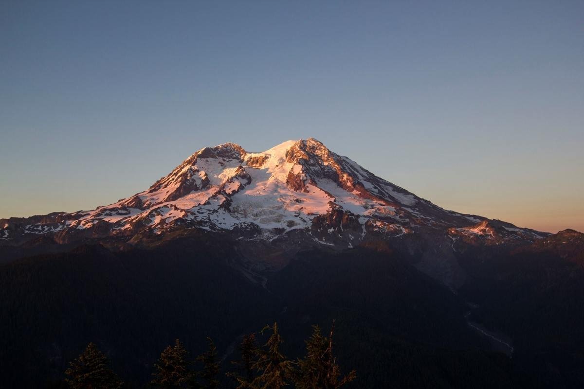
Find your next journey →Mount Rainier at sunset, NPS Photo / Emily Brouwer · Photo source · NPS photograph, reused from ATA library. Display copy resized; crop may apply.
The routes, practical observations and original articles remain part of this guide. First-hand comments keep their original context; new planning resources are identified separately. Start with a landscape, follow a route, or open the complete original Washington route library.
A FIRST LOOK · STATEWIDE FILM
A statewide introduction by Trip Insight, from river country to mountains and the Pacific. Then plan your own arrival and first night.
Start with Seattle & Issaquah →FIRST-TIME HIGHLIGHT
A mountain worth planning around, with forests, waterfalls and high-country outings that depend on the season.
Explore Mount Rainier →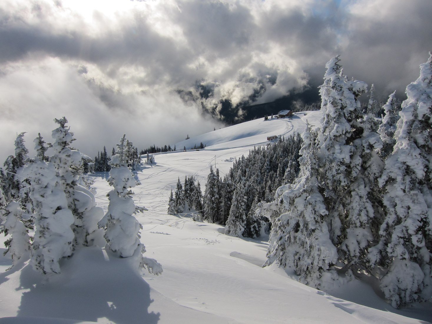
FIRST-TIME HIGHLIGHT
Rainforest, mountain country and Pacific beaches. Choose one district for a day, not the whole peninsula.
Explore Olympic Peninsula →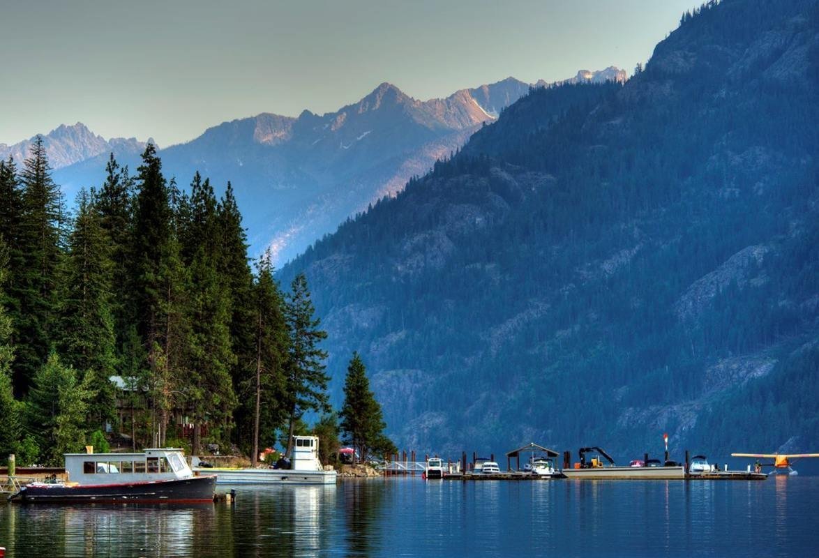
FIRST-TIME HIGHLIGHT
Jagged peaks and separate lake-and-valley journeys. Highway viewpoints and Stehekin need different travel plans.
Explore North Cascades →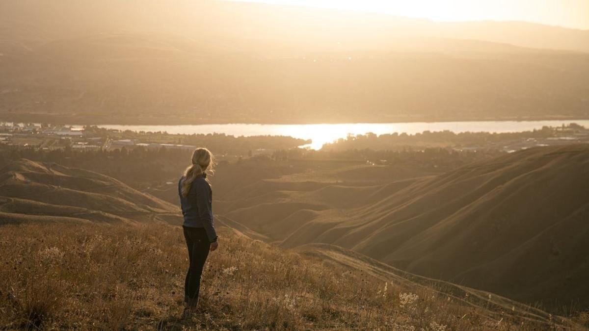
A JOURNEY, NOT A QUICK LAP
Link mountain passes, river valleys and island scenery. Check the seasonal SR 20 closure before planning the full loop.
Explore Cascade Loop →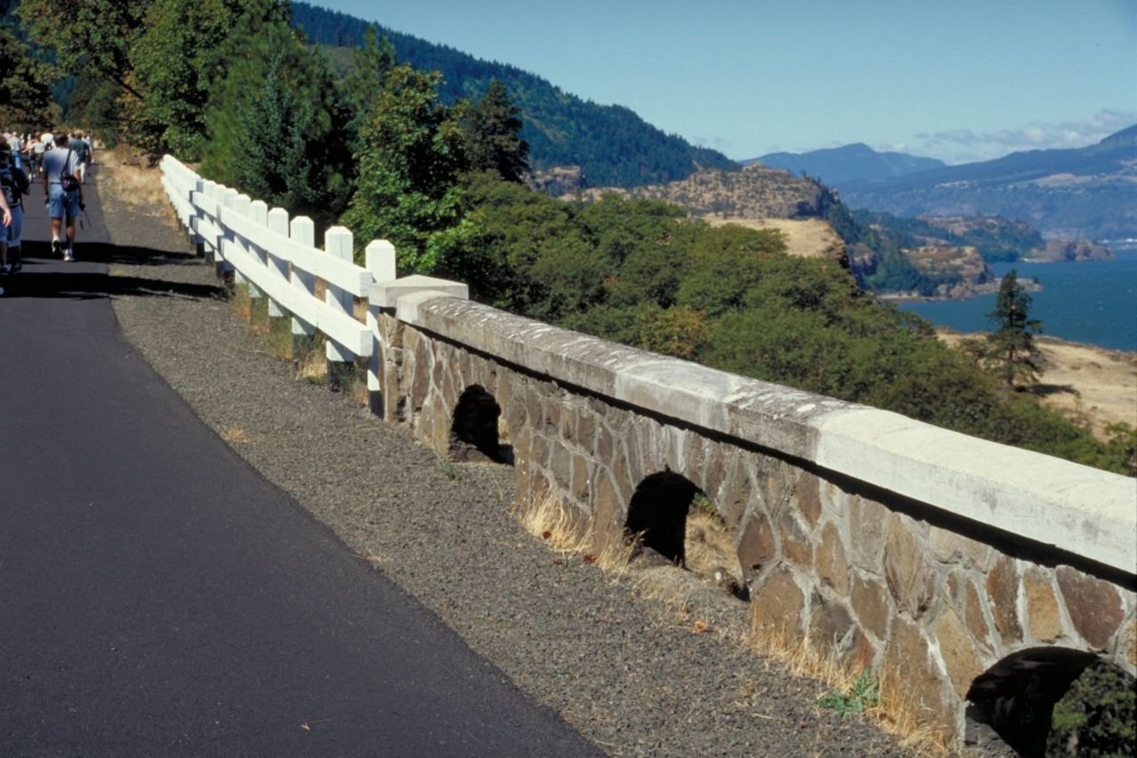
THE ORIGINAL RIVER ARTICLE
Follow the river’s stories between Oregon and Washington, with time for small towns, crossings and separate scenic stops.
Explore Columbia River →A few rewarding changes of pace from the existing guide collection. These are places with their own character, not promises of empty streets.

A ROADBOOK STOP, REVISITED
Keep the practical first-night idea, add a hatchery visit, and find a base for the next part of your journey.
Explore Issaquah →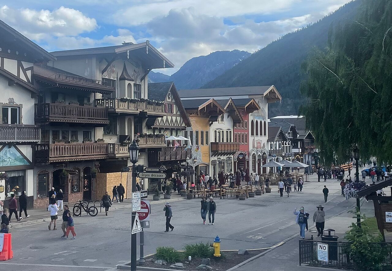
A DIFFERENT MOUNTAIN CHAPTER
A Bavarian-style streetscape in the Cascades, a characterful stop to work into a mountain-and-valley journey.
Explore Leavenworth →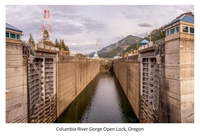
ENGINEERING ALONG THE RIVER
Keep the original dam-by-dam list, including the author’s honest distinction between places toured and places not visited.
Explore Columbia River dams →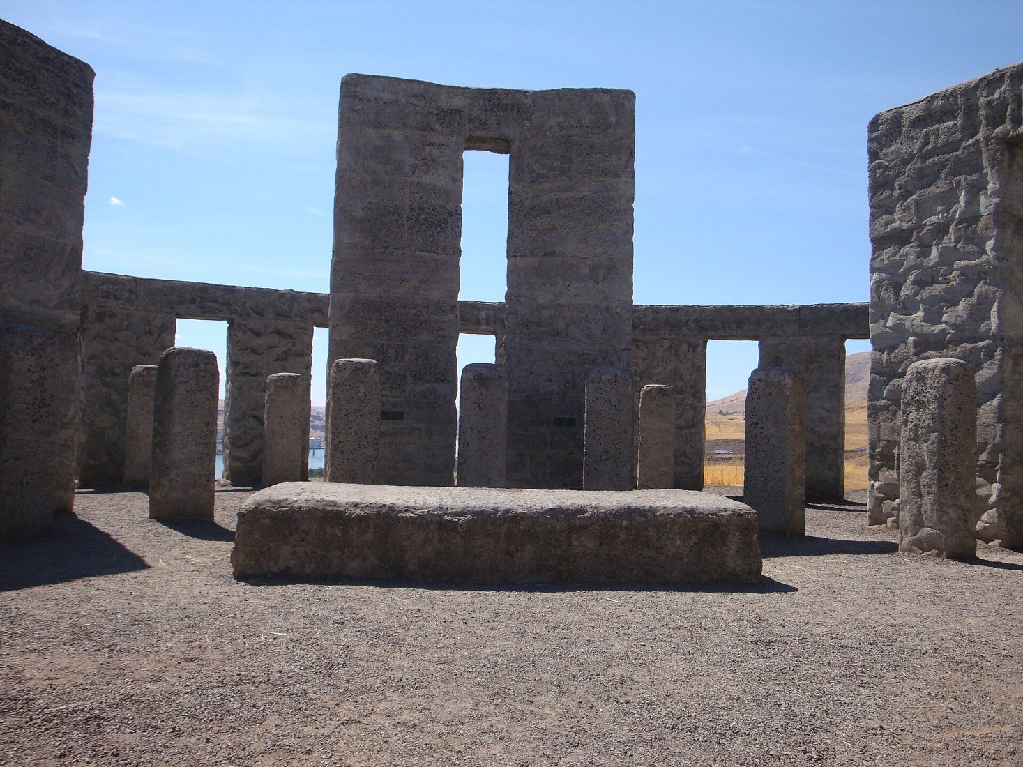
MARYHILL · COLUMBIA RIVER
A replica on a Washington bluff carries a story of remembrance, peace and one man’s extraordinary vision.
Explore this discovery →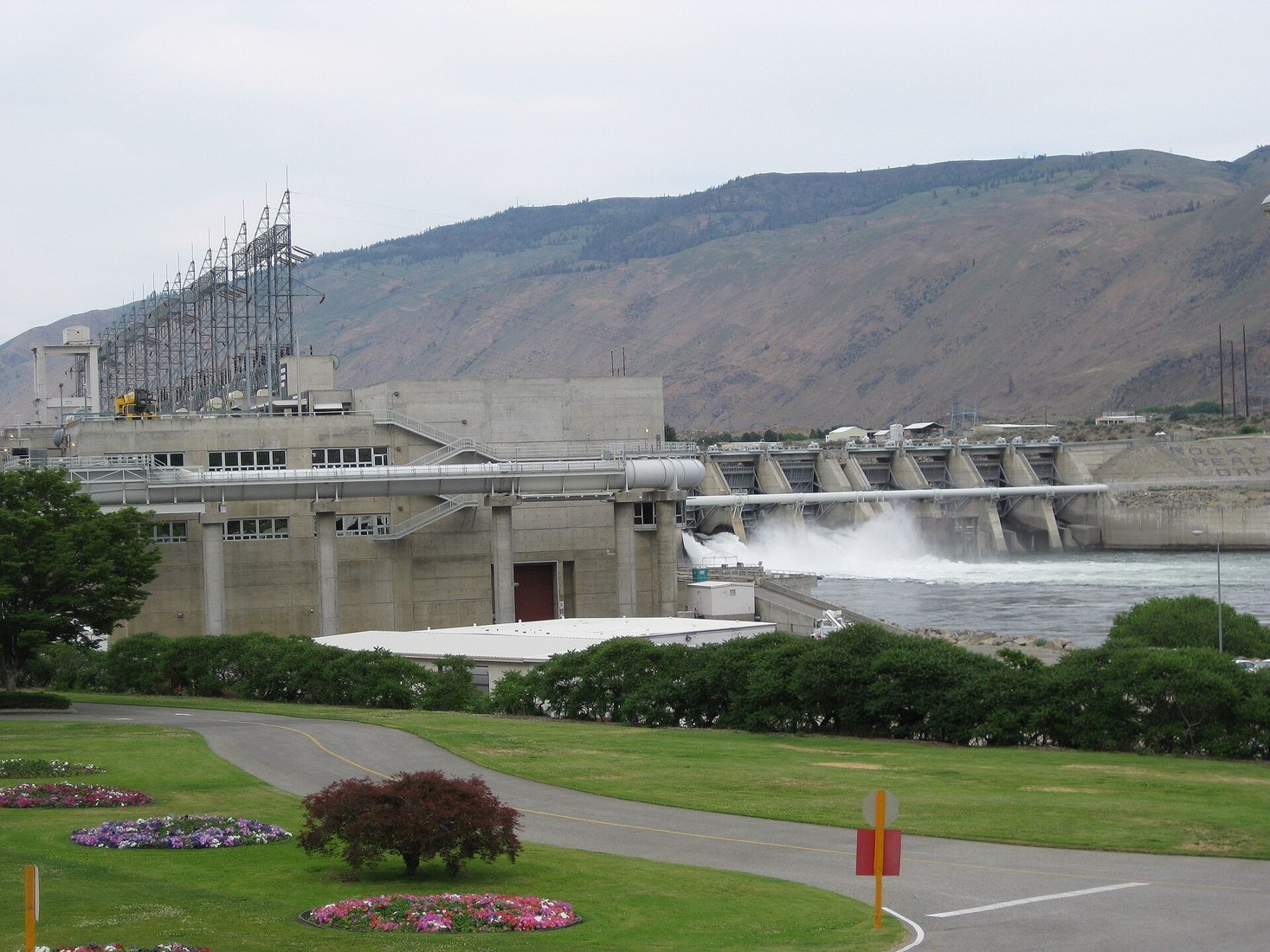
WENATCHEE · ROCKY REACH
Step beyond a roadside dam view into fish windows, hands-on exhibits and the life of the Columbia.
Explore this discovery →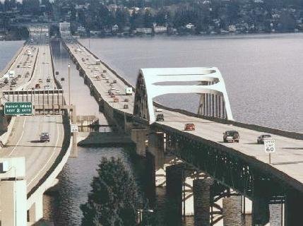
SEATTLE · LAKE WASHINGTON
Discover the engineering, the viewpoint and Steven Arnold’s original photograph, with its story intact.
Explore this discovery →Click a numbered place or its name to go straight to the guide. The Cascade Loop, coast and river routes cover wider areas than a single pin.
Orientation map, not a road or hiking map. Pins are approximate; nearby labels are separated for readability. State outline: PublicaMundi US states GeoJSON.
Open the original roadbook articles, follow the coast and river journeys, or plan your arrival. Some routes continue into neighboring states and Canada, allow time for the wider journey.
Arrive at SEA, choose Seattle or Issaquah for a first base, and make the lake and city outings separate from a mountain day.
Work Leavenworth, Wenatchee and Rocky Reach into a longer mountain-and-valley journey. The full Cascade Loop needs suitable seasonal access, not a fixed year-round promise.
Choose a Columbia River chapter or an Olympic/coast chapter, allowing separate travel days. Read the coast article’s first-hand limitations and check current ferries before extending to Canada.
Check mountain passes before fixing a loop. Snow, wildfire, repairs and ferry changes can affect an itinerary; save an alternative route.
WSDOT live conditions →The coast, rainforest, alpine viewpoints and remote lake communities need different access plans. Check the park’s current roads, permits and entry arrangements.
National park planning →Check the actual route, sailing and vehicle arrangements. Washington State Ferries offers vehicle reservations on selected routes, not every crossing.
Official ferry guide →Save the hotel’s entrance, allow for airport formalities and traffic, and choose a first base for the next day’s route rather than the longest possible drive.
First-night planning →Keep the author’s practical insights, but distinguish them from live conditions. The original Pacific Coast Highway article explicitly says the Washington coast had not been driven by the author. The Columbia dam list identifies Rocky Reach as the one toured. We retain those limits instead of turning them into endorsements of every stop.
Old tolls, population figures, hotel recommendations and airport security procedures belong to their original editions. Use the linked transport, park and property sources before travelling. Astoria, mentioned in the river article, is on the Oregon side, plan state crossings deliberately.
The previous introduction also highlighted Seattle’s Pike Place Market, the Space Needle, aviation and art museums, Tacoma’s history museum, Yakima and Walla Walla wine country, the San Juan Islands and tribal cultural centers. Those remain useful directions for a longer visit, rather than additions to a single compressed driving day.
Official Washington tourism resources · History & original state introduction
Existing suitable ATA photographs are reused wherever possible, with their recorded credits. Originals are retained. New licensed photographs fill gaps, and no artificial images stand in for real places. The small bridge photograph remains Steven Arnold’s historical view.
The dam-list image is the historic lock photograph captioned in the original article as Oregon. The Olympic photograph shows a snowy park landscape; the Stehekin photograph illustrates the Lake Chelan side of the wider North Cascades region, not a highway viewpoint.