
Let the road set the pace.
A gateway to over 3.3 million acres of spectacular scenery, expansive vistas, rare desert wildlife, and historical and cultural sites; this byway travels through sculpted hills and shifting sand dunes and even dips below sea level. Death Valley features the lowest point and the hottest place in North America.
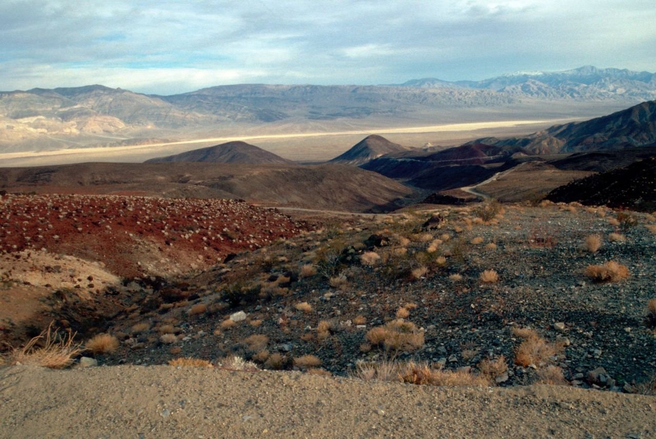
Public Domain. Courtesy of the National Park Service · Photo credits
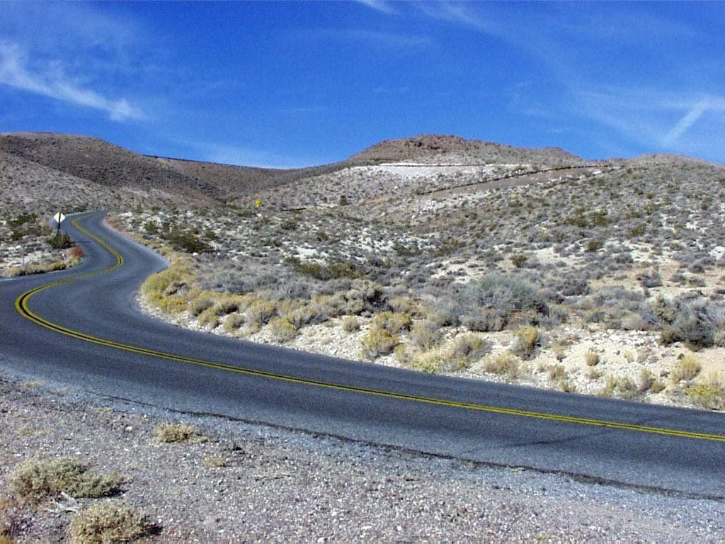
Public Domain. Photo from National Park Service · Photo credits
Before you drive
Make it a satisfying day
Choose a realistic section, then allow time for viewpoints, a town stop and breaks. Scenic mileage rarely tells the whole story of how long an outing will take.
Match the road to your vehicle
Check the exact roads for your car, RV or motorcoach. Tunnel dimensions, turning space, grades and road surfaces can matter as much as distance.
Route overview and designation: Federal Highway Administration, America’s Byways. Research: October 2026. This is a travel idea, not live navigation or a guarantee that the full route is open. Confirm exact roads, current conditions, parking and any attraction reservations before departure.