
AMERICA, ONE BEAUTIFUL ROAD AT A TIME

The views along
the way.

Real photographs, named places and the people behind the pictures.
Coastal-road illustration · An imagined landscape

These photographs come from sources with an explicit public-domain designation or from NPS photographs credited without a copyright symbol. One regional railway photograph uses a Creative Commons license, noted below. Images have been resized and may be cropped by their display frames. They can show earlier conditions and do not guarantee current road or attraction access.

About the coastal panorama

The decorative coastal-road header was created with AI for this directory. It is an imagined scene, not a photograph of a particular road or bridge.
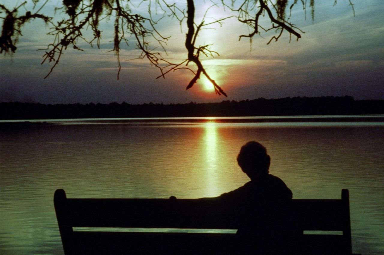
Sunset over the estuary at Washington Oaks Gardens State Park is a time to watch the birds fly home to roost and the manatee play while the setting sun ends another day along the A1A Scenic Byway.
A1A Scenic & Historic Coastal Byway

Enjoying the Sunset over the Estuary

Public Domain.
Source & rights record ↗
Display changes: resized; some frames crop the image.
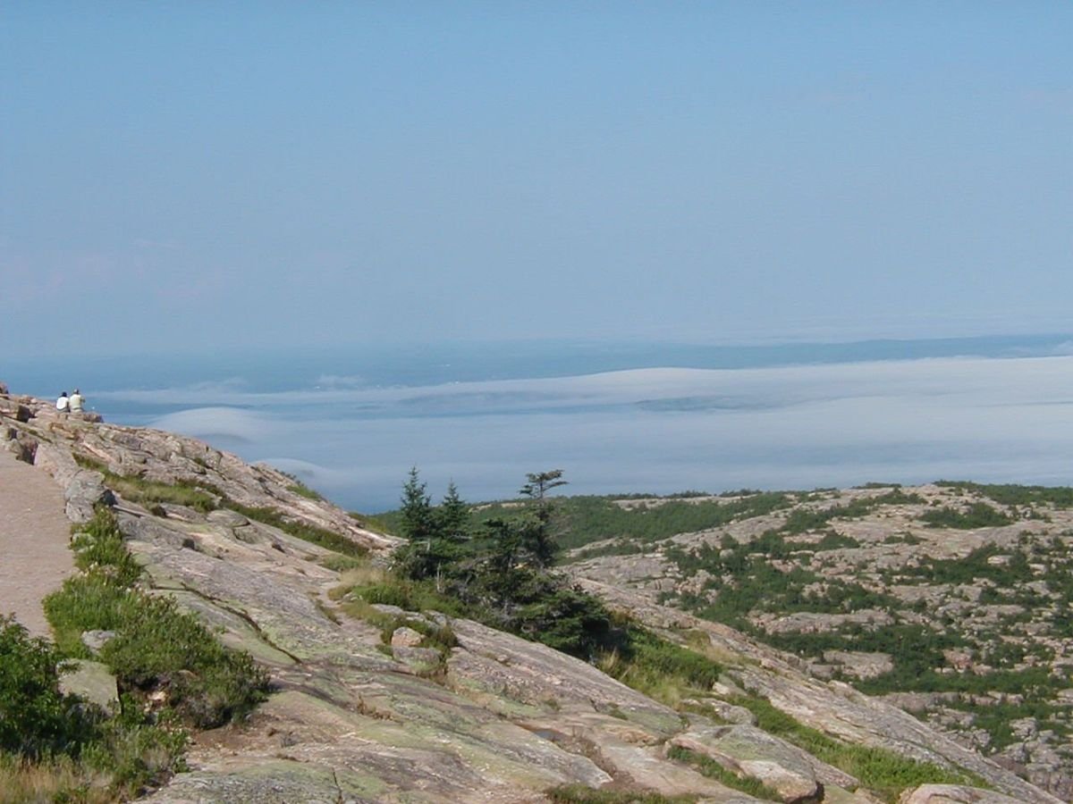
Summer fog blankets the distant landscape below a clear sky in this view from Cadillac Mountain.
Acadia All-American Road

Summer Fog Below Cadillac Mountain

Public Domain.
Source & rights record ↗
Display changes: resized; some frames crop the image.
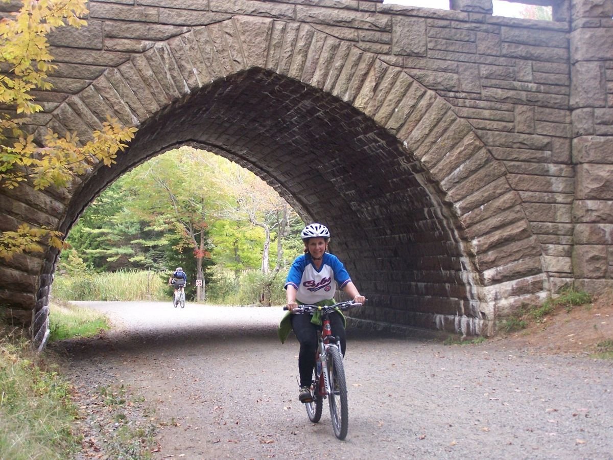
A bike rider travels one of Acadia National Park's famed carriage roads.
Acadia All-American Road

Under the Bridge

Public Domain. Photos taken by Bill Compton
Source & rights record ↗
Display changes: resized; some frames crop the image.
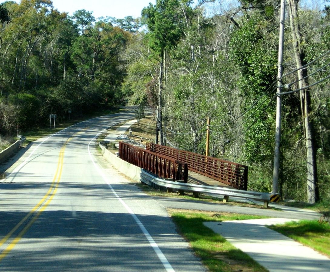
The multi-use Eastern Shore Trail, paralleling the Coastal Connection along the Scenic Highway 98 section, is lined by green trees and is covered in sunlight.
Alabama's Coastal Connection

Eastern Shore Trail

Public Domain.
Source & rights record ↗
Display changes: resized; some frames crop the image.
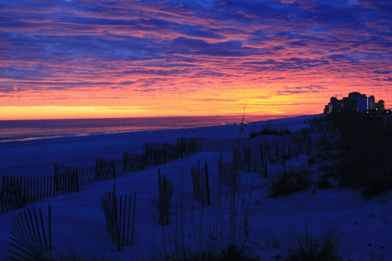
The colors of the sunset over Alabama’s beaches range from subtle to dramatic.
Alabama's Coastal Connection

Sunset over Alabama's Beaches

Public Domain.
Source & rights record ↗
Display changes: resized; some frames crop the image.
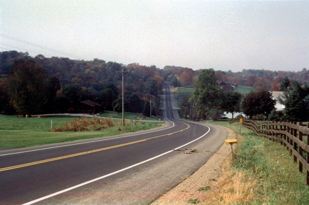
Wide roads on the Amish Country Byway provide added safety for buggies, cyclists, and pedestrians. Travelers on these lanes must be ever vigilant of horses having traveled there previously.
Amish Country Byway

Amish Country Byway Rt. 62

Public Domain.
Source & rights record ↗
Display changes: resized; some frames crop the image.
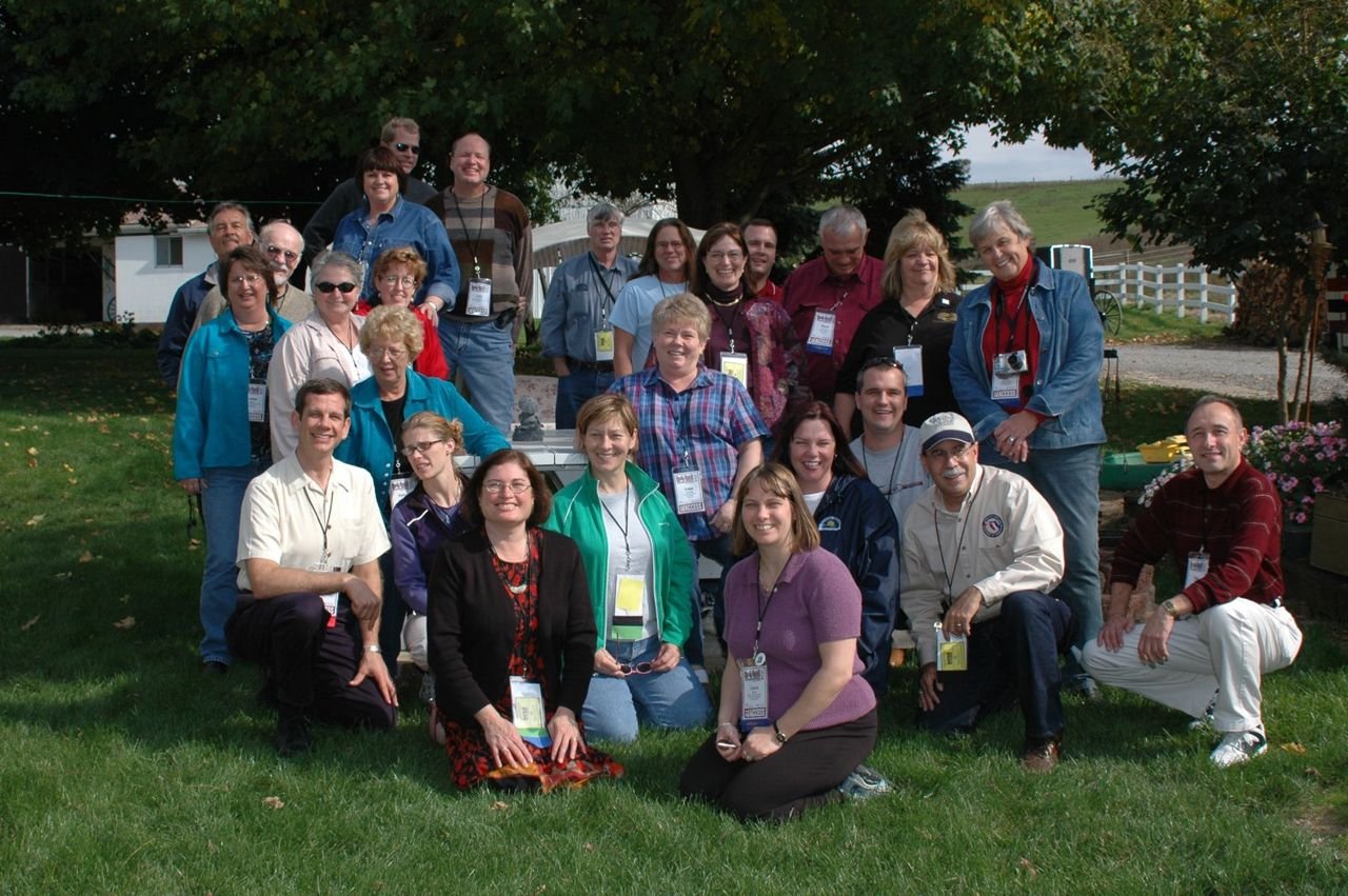
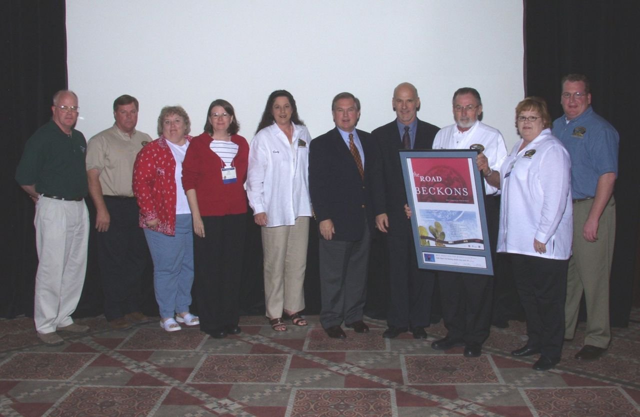
The "Authentic Experiences" workshop group from the 2005 National Scenic Byways Conference poses for a group photo at Miller's Farm on the Amish Country Byway in Ohio.
Amish Country Byway

Authentic Experiences Tour Group at Miller's Farm

Public Domain. Photo by S. Clyde
Source & rights record ↗
Display changes: resized; some frames crop the image.

A train crossing mountain country on the Cumbres & Toltec Scenic Railroad.
Antonito–Chama · Cumbres & La Manga Passes

Cumbres & Toltec Scenic Railroad

Wiringa · CC BY-SA 3.0
Source & rights record ↗ · License
Display changes: resized; some frames crop the image.
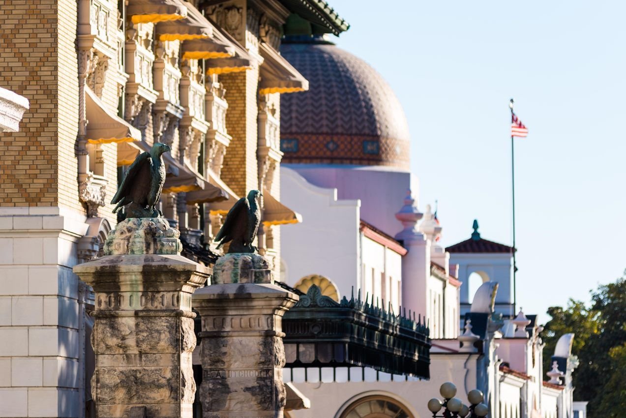
Stone entrance pillars in front of a row of four bathouses
Arkansas Scenic 7

Hot Springs National Park

NPS photo · Public domain, NPS
Source & rights record ↗
Display changes: resized; some frames crop the image.
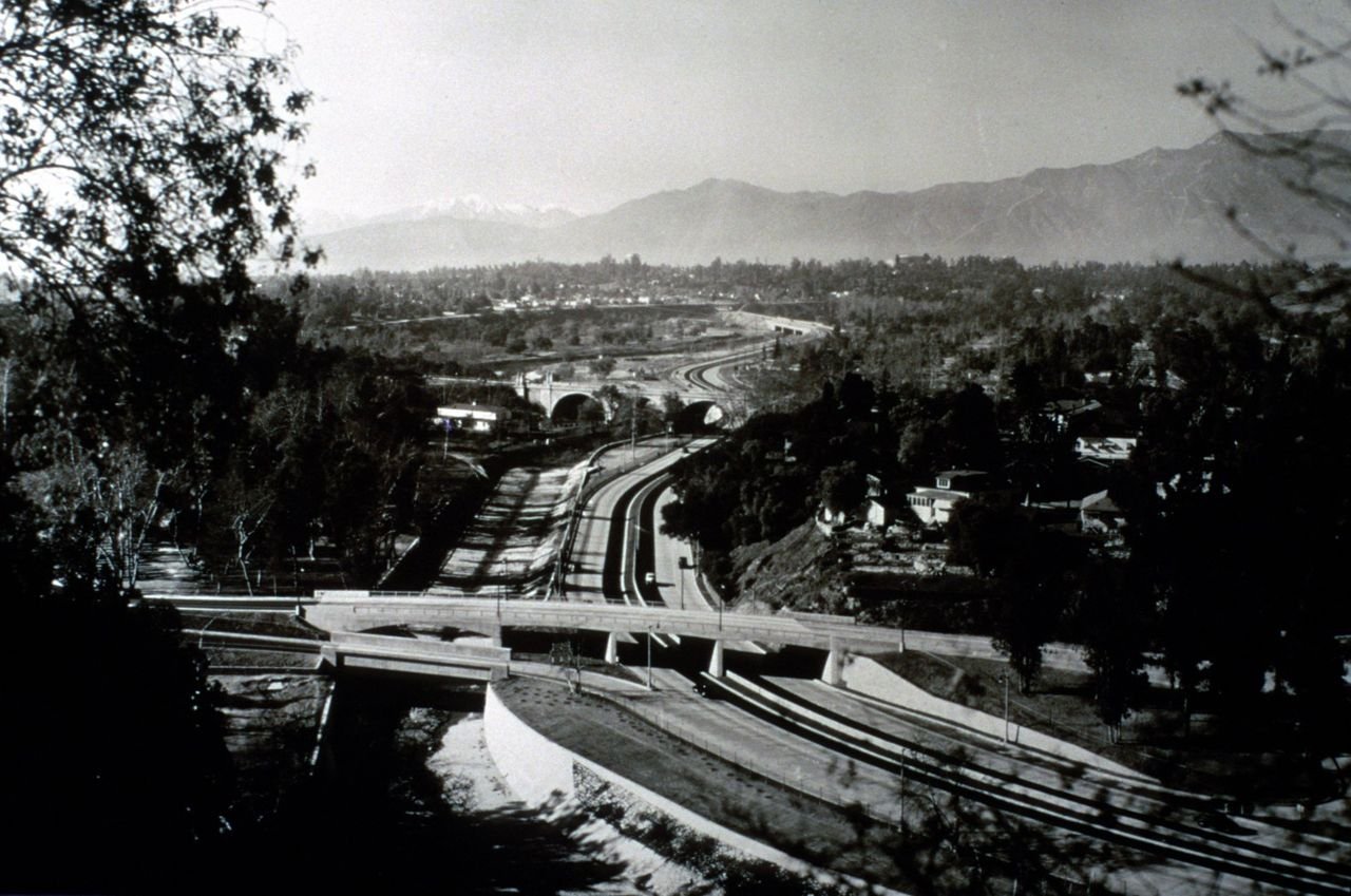
1940 view of recently opened Arroyo Seco Parkway featuring Avenue 64 and York Street bridges with a view to the San Gabriel mountains.
Arroyo Seco Historic Parkway - Route 110

1940 Aerial View of Parkway

Public Domain. Courtesy of Caltrans
Source & rights record ↗
Display changes: resized; some frames crop the image.
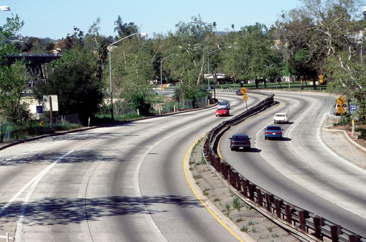
This typical view of parkway shows 6 lanes, curving alignment, native sycamore trees and LA-Pasadena historic railroad bridge in background.
Arroyo Seco Historic Parkway - Route 110

Arroyo Seco Parkway with Historic Railroad Bridge

Public Domain. Photo by Diane Kane of Caltrans
Source & rights record ↗
Display changes: resized; some frames crop the image.
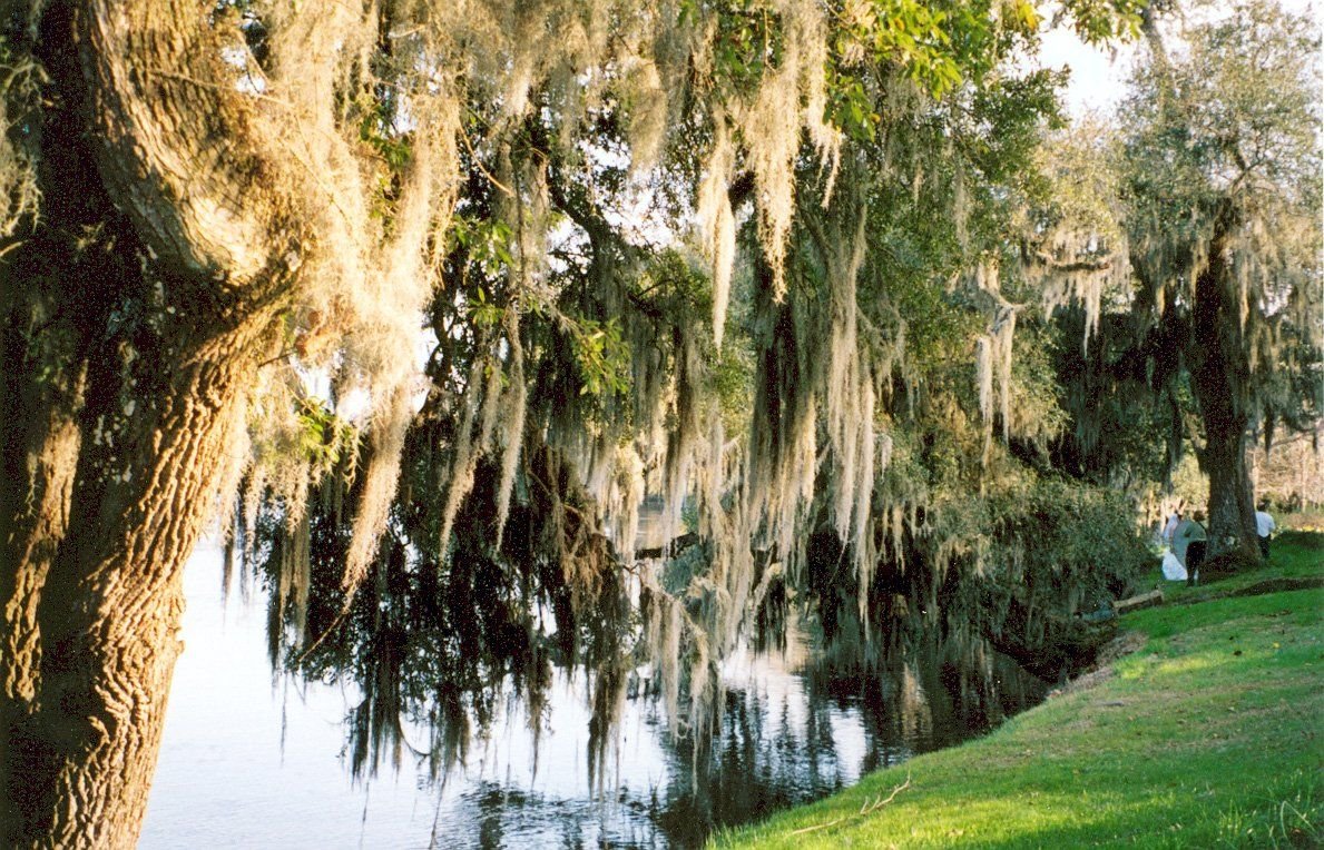
Live oaks draped in Spanish moss line the banks of the scenic Ashley River.
Ashley River Road

The Banks of the Ashley River

Public Domain. Photo by Kellie Thorne of NSBO
Source & rights record ↗
Display changes: resized; some frames crop the image.
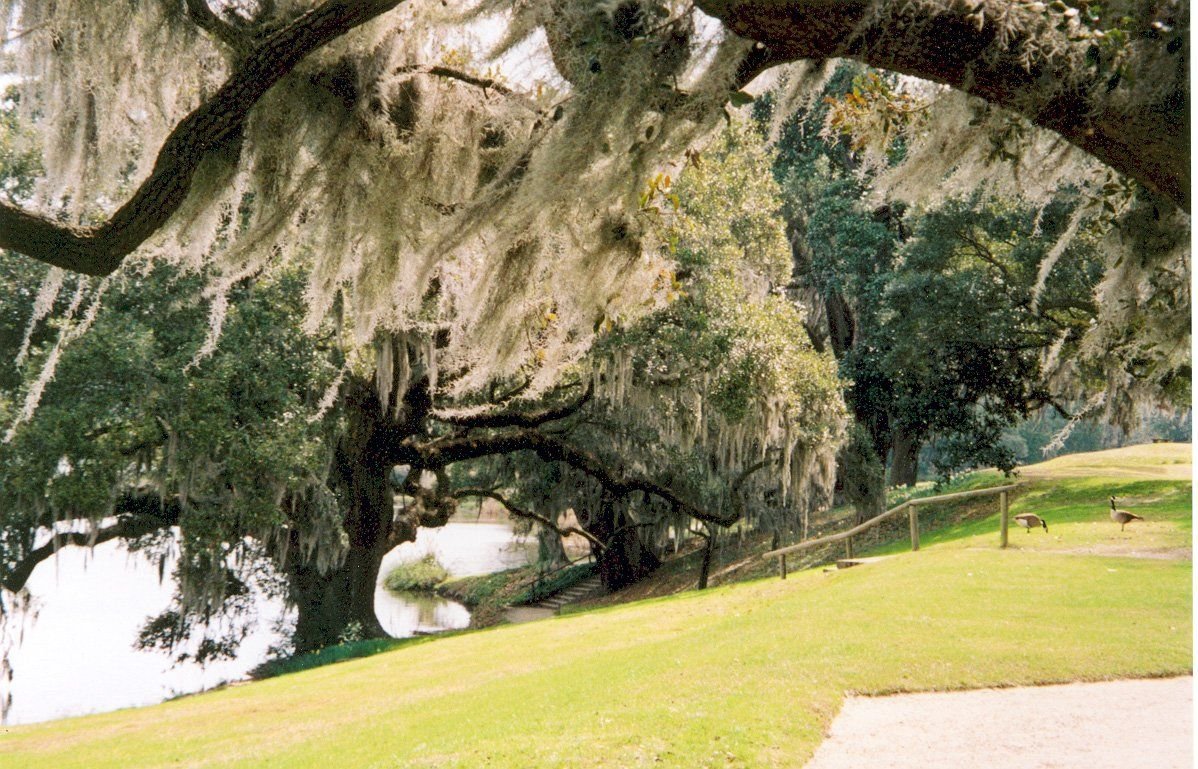
Live oaks and Spanish moss complete this scenic view of the Ashley River at Middleton Place.
Ashley River Road

The Banks of the Ashley River at Middleton Place

Public Domain. Photo by Kellie Thorne
Source & rights record ↗
Display changes: resized; some frames crop the image.

A family strolls past the beautiful metal and glass visitor center at Baltimore’s Inner Harbor, which resembles the water and waves of the Inner Harbor.
Baltimore's Historic Charles Street

A Family at the Inner Harbor Visitor Center

Public Domain. Bill McAllen
Source & rights record ↗
Display changes: resized; some frames crop the image.
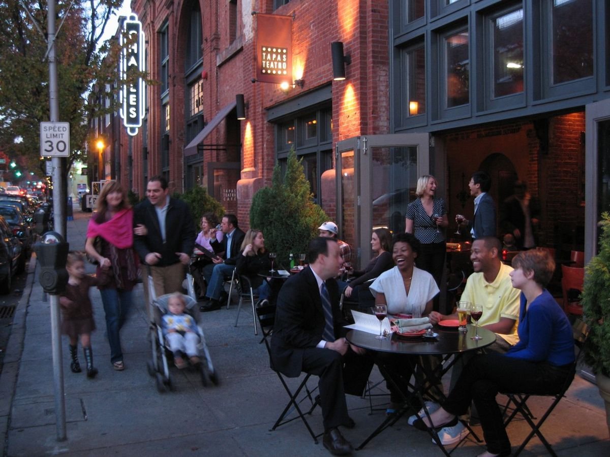
People at tables smile and laugh while a family walks by Baltimore's Station North Arts & Entertainment District, home to the multi-screen Charles Theater.
Baltimore's Historic Charles Street

Enjoying Sidewalk Dining Along Charles Street in the Station North Arts & Entertainment District

Public Domain. Courtesy of the Charles Street Development Corporation
Source & rights record ↗
Display changes: resized; some frames crop the image.
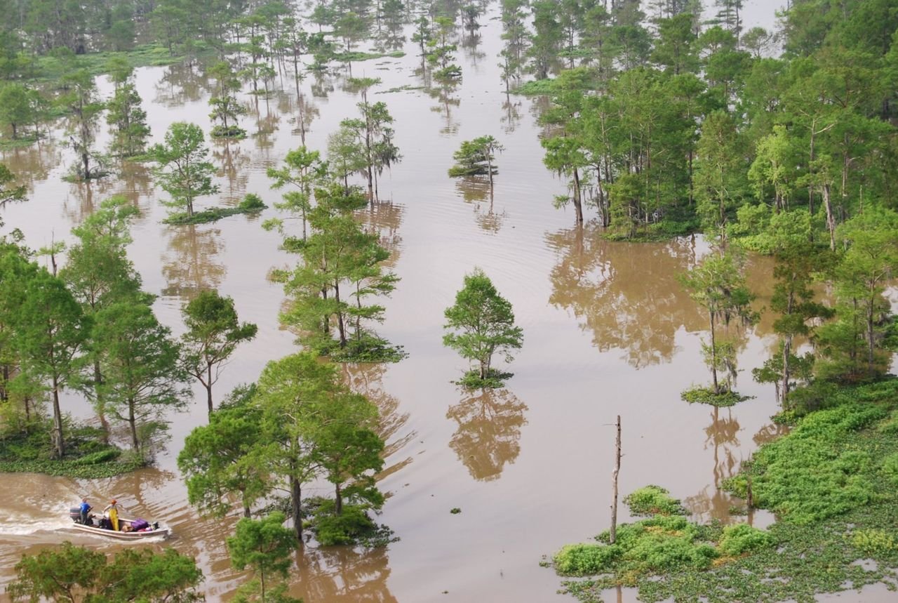
Fishing for crawfish is a way of life for
residents in Atchafalaya National
Heritage Area
Bayou Teche Scenic Byway

Crawfishing in Basin

Public Domain. Atchafalaya National Heritage Area
Source & rights record ↗
Display changes: resized; some frames crop the image.
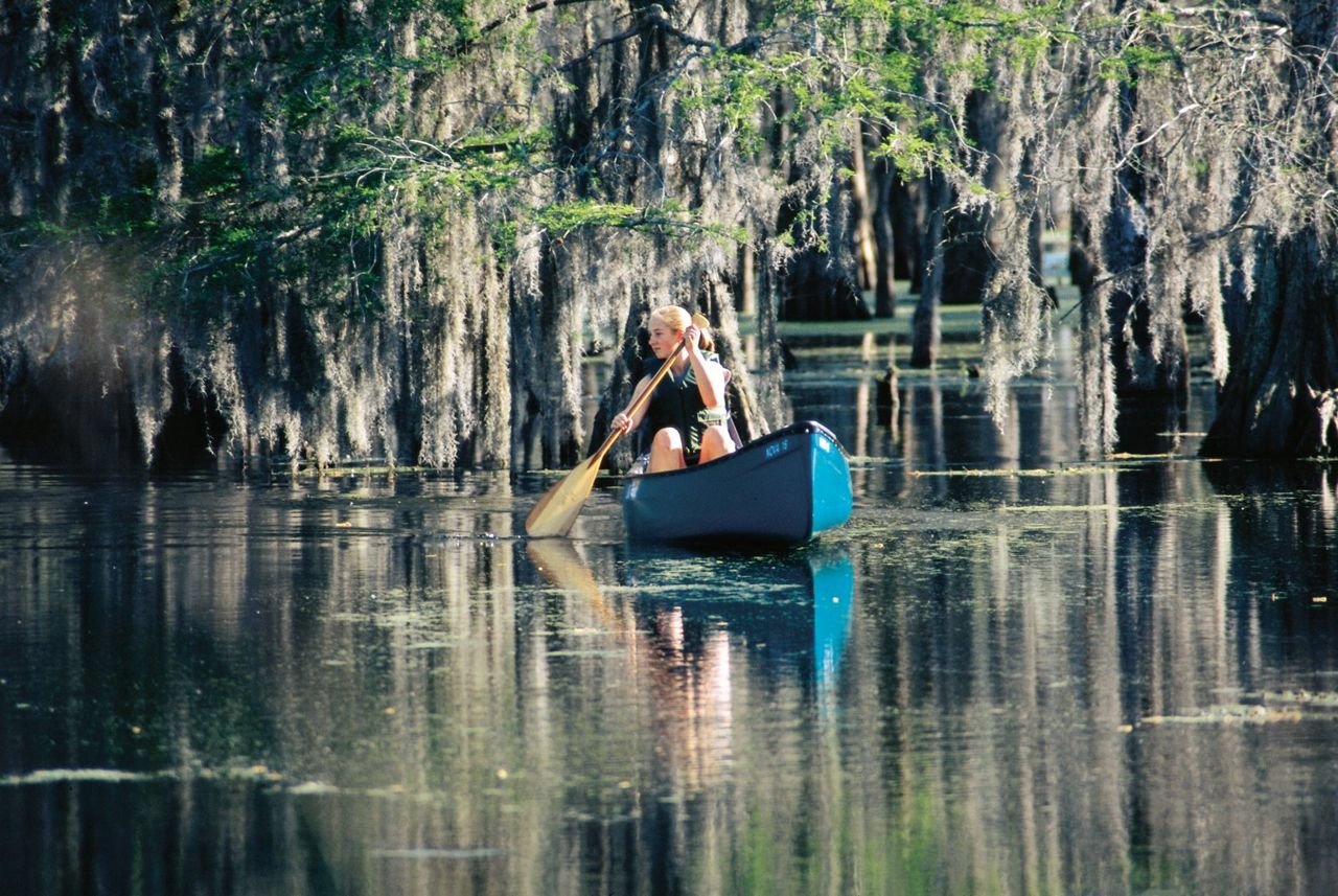
Paddling the Atchafalaya Basin is one of best ways to appreciate the wilderness and spillway.
Bayou Teche Scenic Byway

Paddling Atchafalaya Basin

Public Domain. Cajun Coast Visitors & Convention Bureau
Source & rights record ↗
Display changes: resized; some frames crop the image.
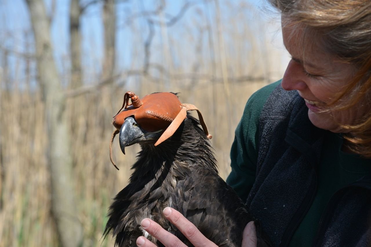
NJ State Biologist inspects juvenile eaglet after banding. The eagle recovery program is a success story attesting to people’s will to bring back our Nation’s Symbol from the brink of extinction.
Bayshore Heritage Byway

Bayshore Heritage Byway, NJ, Maurice River National Scenic & Recreational River – NJ Eagle Recovery Program Banding by NJ Div. of Fish and Wildlife.

Public Domain. Jane Morton Galetto
Source & rights record ↗
Display changes: resized; some frames crop the image.
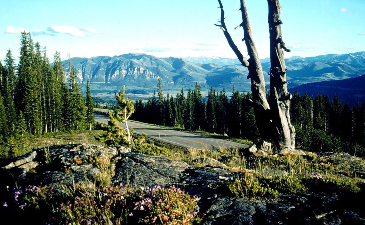
Wildflowers thrive in unexpected places by the roadside in this view of mountains and the road from Clarks Fork Overlook. From this overlook you can see the Clarks Fork River Valley and the aftermath of the Clover Mist Fire (1988).  Salvage logging beneath Pilot and Index Peaks after the fire were designed to mimic natural openings to blend in with the surrounding landscapes.
Beartooth Highway

View from Clarks Fork Overlook

Public Domain. USDA Forest Service
Source & rights record ↗
Display changes: resized; some frames crop the image.
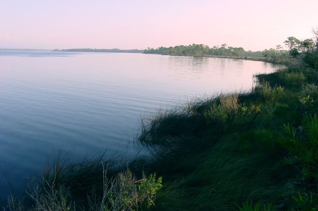
The Apalachicola River shimmers with the vibrant colors of the sunset.
Big Bend Scenic Byway

Apalachicola River and Basin

Public Domain. Diane Delaney
Source & rights record ↗
Display changes: resized; some frames crop the image.
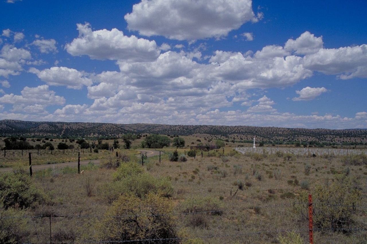
This distant view is of Fort Stanton Military Cemetery as seen from the Billy the Kid Scenic Byway.
Billy the Kid Trail

Fort Stanton Military Cemetery on Billy the Kid Scenic Byway

Public Domain. Photo by Dennis Adams of FHWA
Source & rights record ↗
Display changes: resized; some frames crop the image.
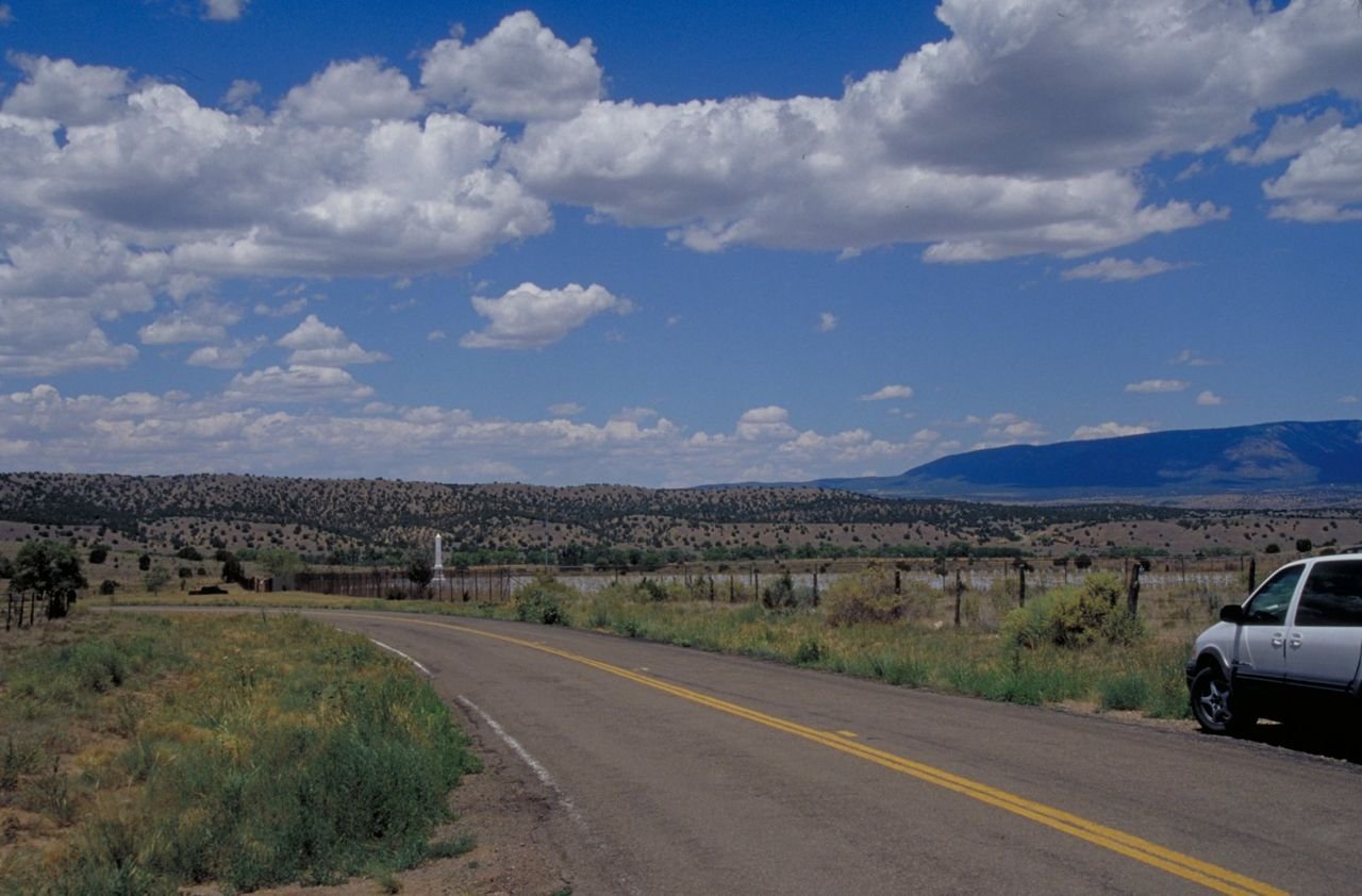
Rows of crosses and a taller monument are seen in this view of Fort Stanton Military Cemetery on the Billy the Kid Scenic Byway.
Billy the Kid Trail

Fort Stanton Military Cemetery on Billy the Kid Scenic Byway

Public Domain. Photo by Dennis Adams of FHWA
Source & rights record ↗
Display changes: resized; some frames crop the image.
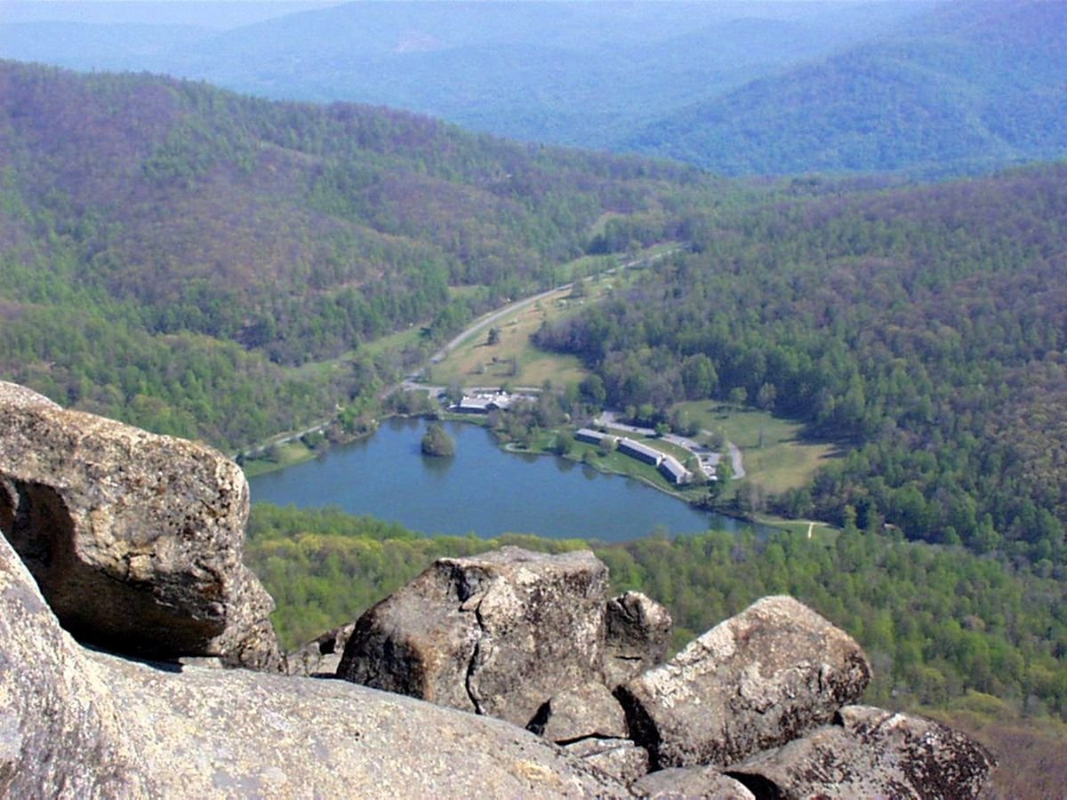
Sharp Top Mountain Peak provides a sweeping view, overlooking the Peaks of Otter lodge and Abbott Lake.
Blue Ridge Parkway

Peaks of Otter

Public Domain. Photo by Gary Johnson
Source & rights record ↗
Display changes: resized; some frames crop the image.
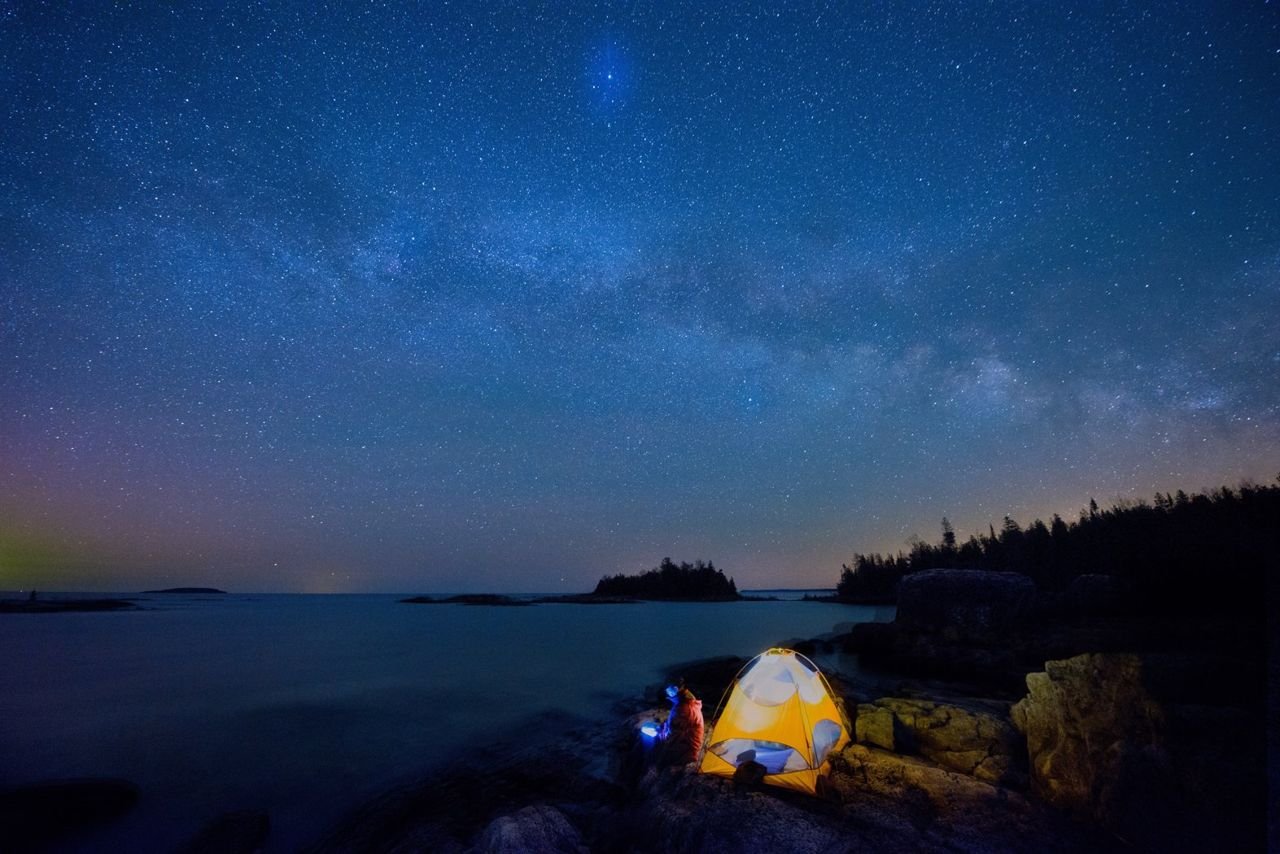
Cutler Coast trails offer several seaside campsites overlooking the ledges at the edge of the forest, where the dark night skies are brilliant with stars.
Bold Coast Scenic Byway

Cutler Coast Camping

Public Domain. DownEast Acadia Regional Tourism
Source & rights record ↗
Display changes: resized; some frames crop the image.
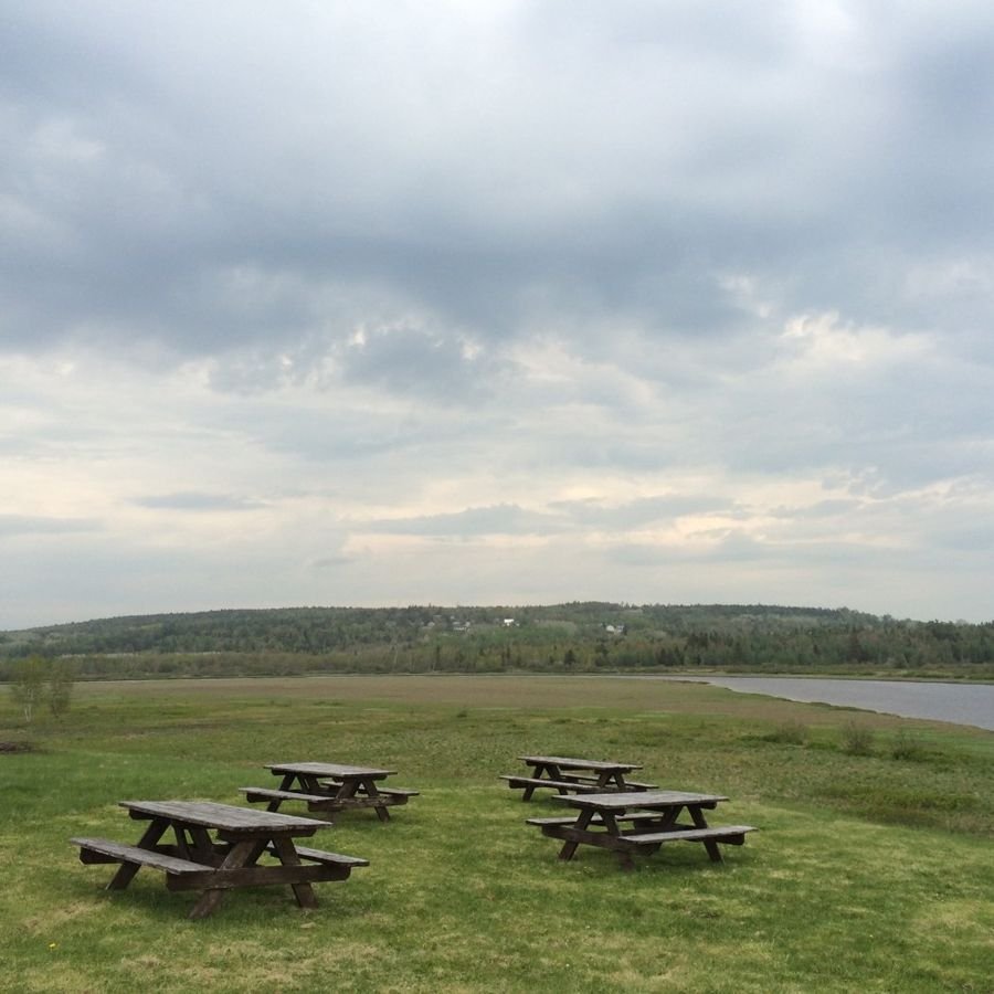
Middle River Park picnic area, located atop a grassy hill, overlooks the Middle River and grassy floodplain; the changing skies and floodplain landscape are beautiful any time of year.
Bold Coast Scenic Byway

Middle River Park picnic area

Public Domain. Crystal Hitchings
Source & rights record ↗
Display changes: resized; some frames crop the image.
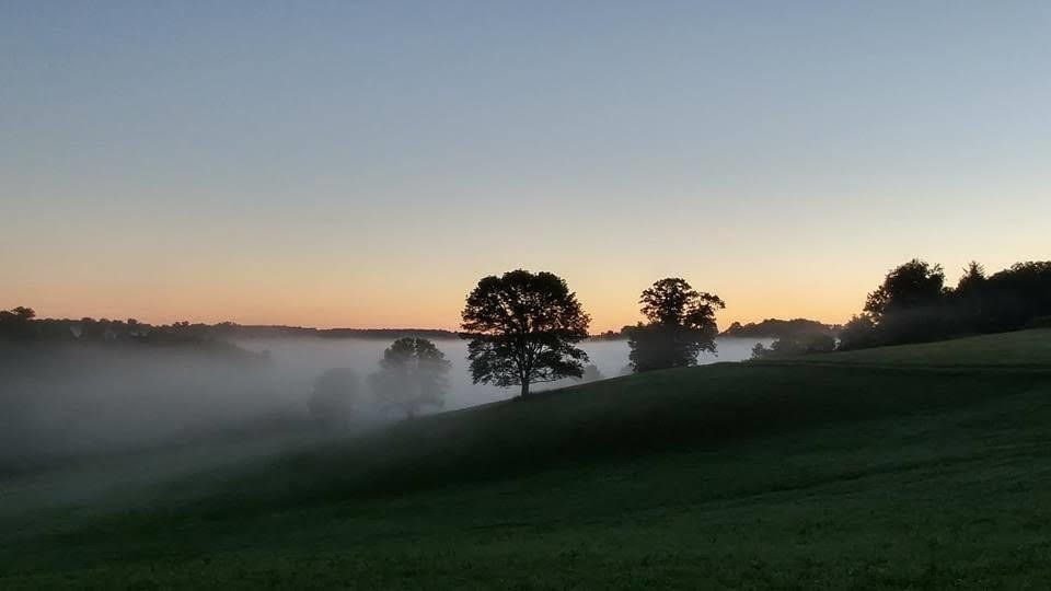
The Brandywine Valley has been pressured by the forces of modern society, yet also has enjoyed the advantage of an aggressive conservation movement arising in time to protect much of those intrinsic qualities that the early settlers found so inviting. A proliferation of protected natural areas, parks, eased lands, and historic resources throughout the Byway corridor has promoted recreational and interpretive opportunities and led to a renewed appreciation of the landscape.
Brandywine Valley Scenic Byway

Stroud Mist Landscape

Public Domain. Ellen Peters
Source & rights record ↗
Display changes: resized; some frames crop the image.
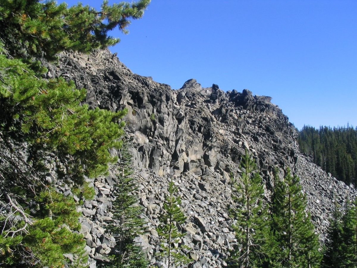
Devil's Garden, and other huge mountains of lava rock line portions of the Cascade Lakes Scenic Byway.
Cascade Lakes Scenic Byway

Devil's Garden

Public Domain. Photo by Brett Hansen
Source & rights record ↗
Display changes: resized; some frames crop the image.
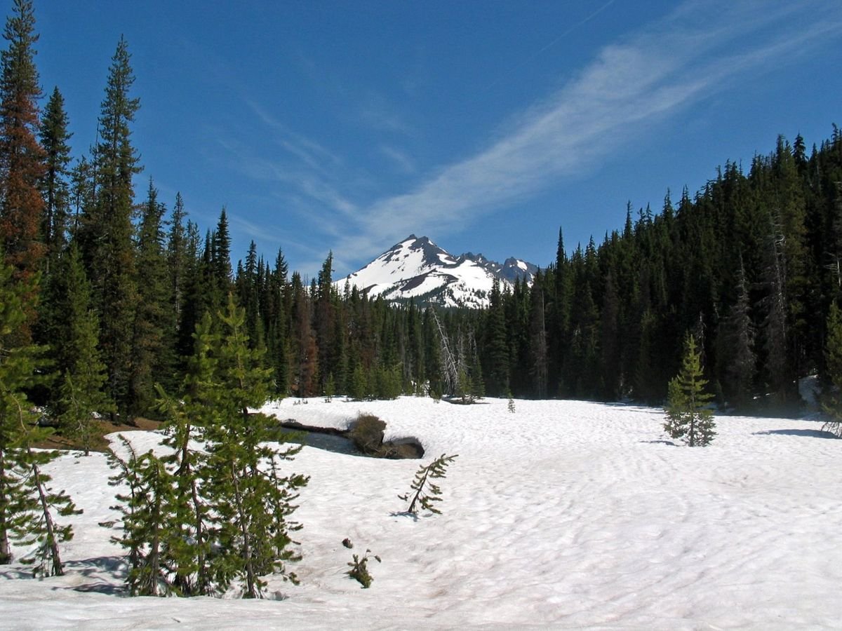
The jagged peak of Broken Top Mountain rises from a bowl of trees in this shot from the Cascade Lakes Scenic Byway.
Cascade Lakes Scenic Byway

Snowy Fields to Broken Top Mountain

Public Domain. Photo by Clarence Nies
Source & rights record ↗
Display changes: resized; some frames crop the image.

A group gathers in the grass at Ohme Gardens overlooking the Wenatchee Valley
Cascade Loop

Group Visiting Ohme Gardens

Public Domain. Cascade Loop Foundation
Source & rights record ↗
Display changes: resized; some frames crop the image.
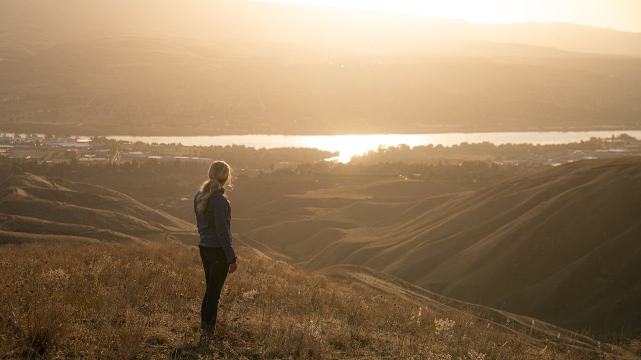
Woman hiking, overlooking the Wenatchee Valley in fall.
Cascade Loop

Woman looking at Wenatchee Valley from the Wenatchee Foothills

Public Domain. Cascade Loop Foundation
Source & rights record ↗
Display changes: resized; some frames crop the image.
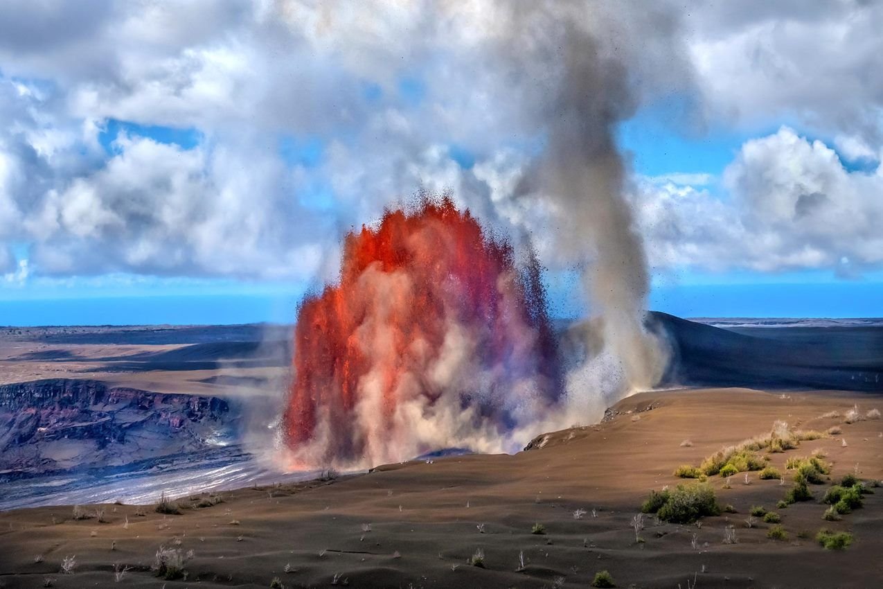
Fountains of molten lava erupting from within a crater next to a whirlwind formed from the eruption.
Chain of Craters Road

Hawaiʻi Volcanoes National Park

NPS Photo · Public domain, NPS
Source & rights record ↗
Display changes: resized; some frames crop the image.
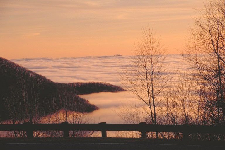
Clouds and mountains create a scenic sunset on the Cherohala Skyway near the NC/TN border.
Cherohala Skyway

An Island Amid the Ocean of Clouds on the Cherohala Skyway

Public Domain. Photo by Dennis Adams
Source & rights record ↗
Display changes: resized; some frames crop the image.
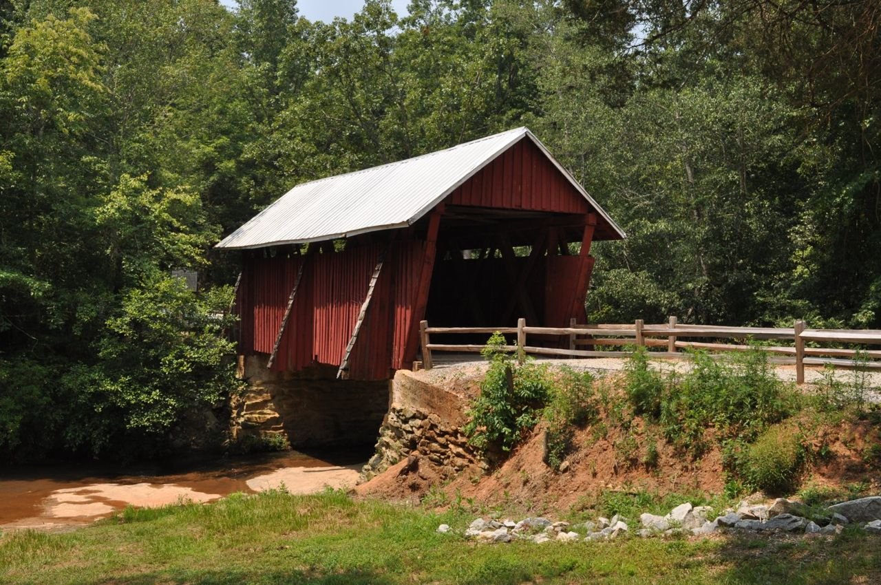
The Campbell Covered Bridge lies on the Cherokee Foothills Scenic Byway in South Carolina.
Cherokee Foothills Scenic Highway

Campbell's Covered Bridge in Summer

Public Domain. Photo by Dennis Egan
Source & rights record ↗
Display changes: resized; some frames crop the image.
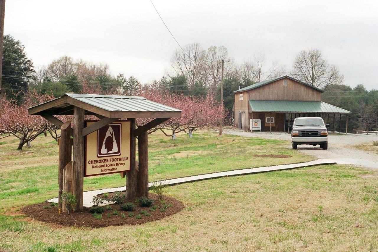
A Cherokee Foothills National Scenic Byway information kiosk sits outside the Peach Country roadside stand, surrounded by blooming peach trees.
Cherokee Foothills Scenic Highway

Kiosk Surrounded by Peach Orchards

Public Domain. Photo supplied by Dean S. Campbell
Source & rights record ↗
Display changes: resized; some frames crop the image.
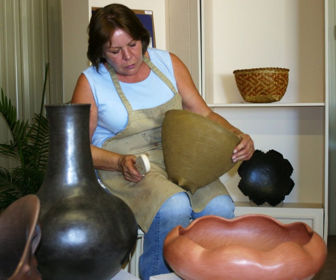
Jane Osti is one of the Native American artists in the Tahlequah, Oklahoma area. She is surrounded by several of her large pottery pieces as well as one of her baskets.
Cherokee Hills Byway

Traditional Cherokee Artist

Public Domain.
Source & rights record ↗
Display changes: resized; some frames crop the image.
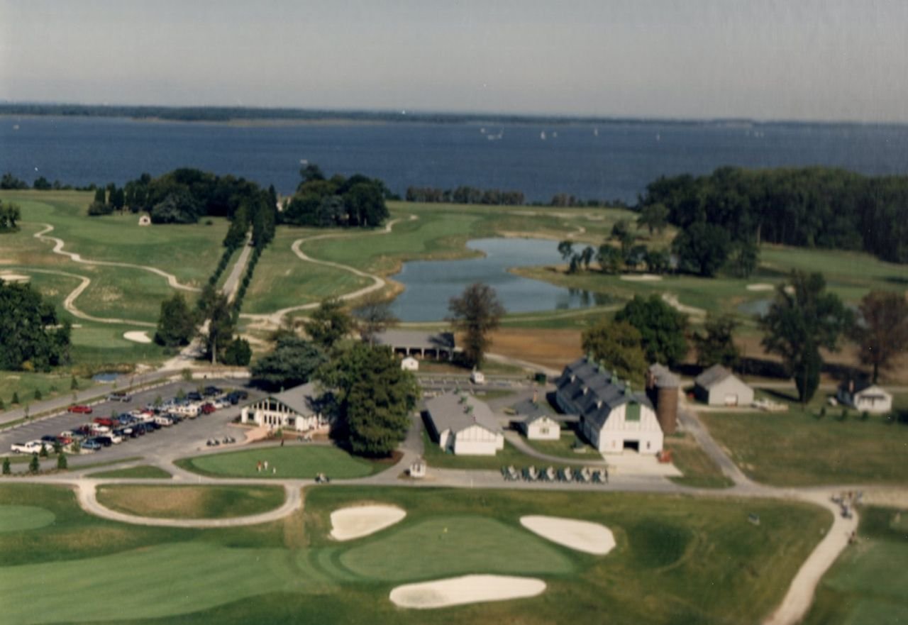
Seaside golfing attracts travelers to enjoy the links on Chesapeake Country Scenic Byway.
Chesapeake Country Scenic Byway

Golfing in Queenstown, MD

Public Domain. Photo by John J. Rafferty of Annandale, VA
Source & rights record ↗
Display changes: resized; some frames crop the image.
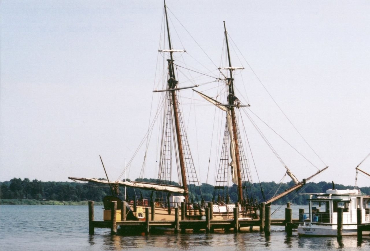
The Schooner Sultana is photographed on the Chestertown River where it is permanently located.
Chesapeake Country Scenic Byway

The Schooner Sultana moored on the Chestertown River

Public Domain. Photo by S. Clyde
Source & rights record ↗
Display changes: resized; some frames crop the image.
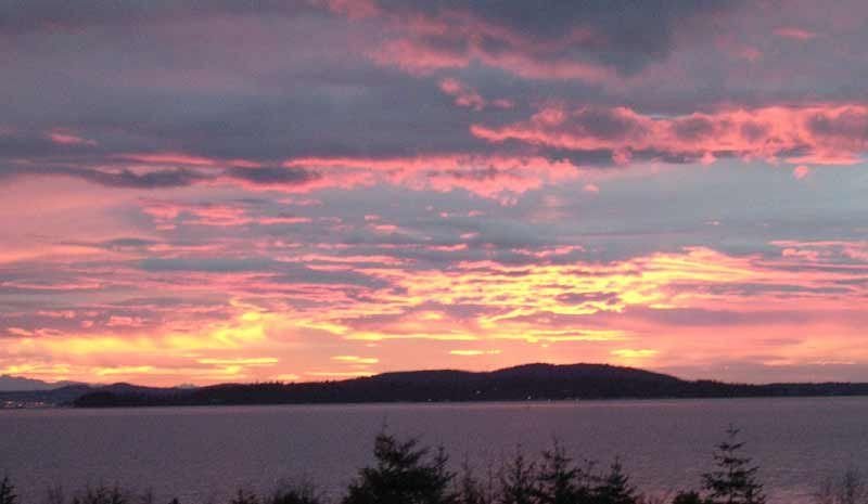
Clouds tinted with pink and gold are a common sight for visitors at Chuckanut Drive.
Chinook Scenic Byway

Sunsets Along the Road

Public Domain. Courtesy of Tom Rodal
Source & rights record ↗
Display changes: resized; some frames crop the image.
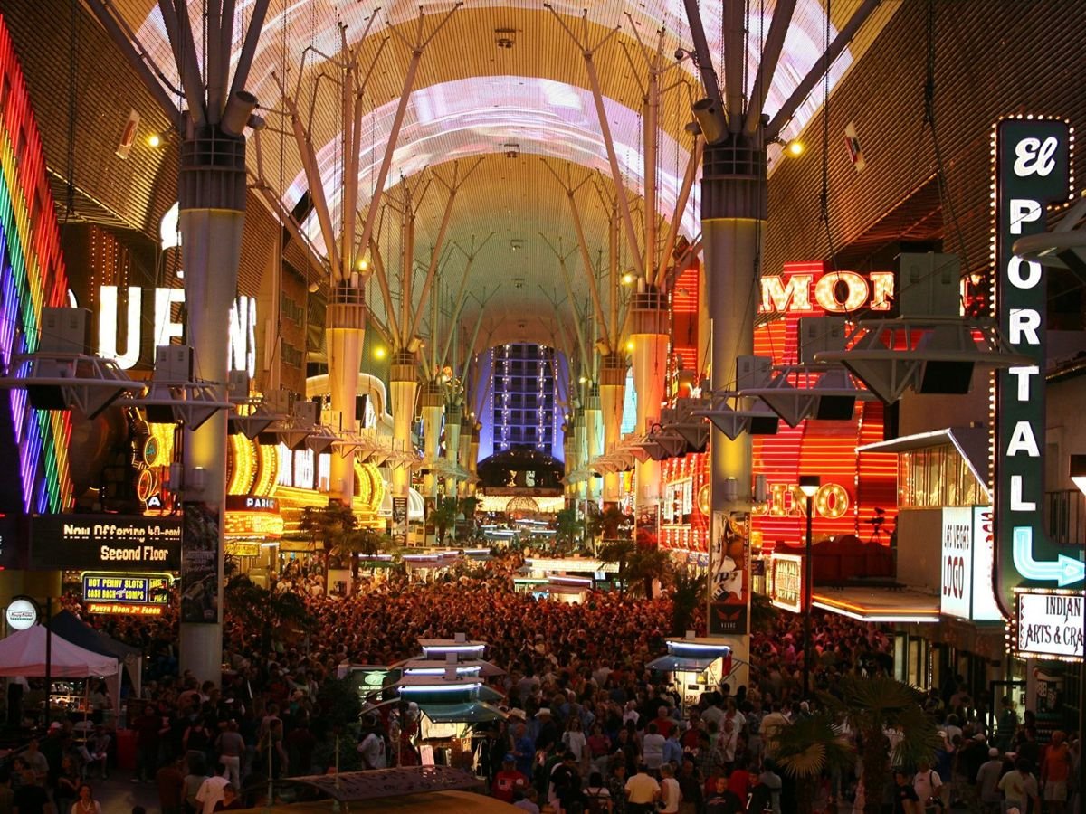
Millions of digital lights create unique scenery on a five-football-field-long canopy 90 feet above the street.
City of Las Vegas, Las Vegas Boulevard National Scenic Byway

Fremont Street Experience

Public Domain.
Source & rights record ↗
Display changes: resized; some frames crop the image.
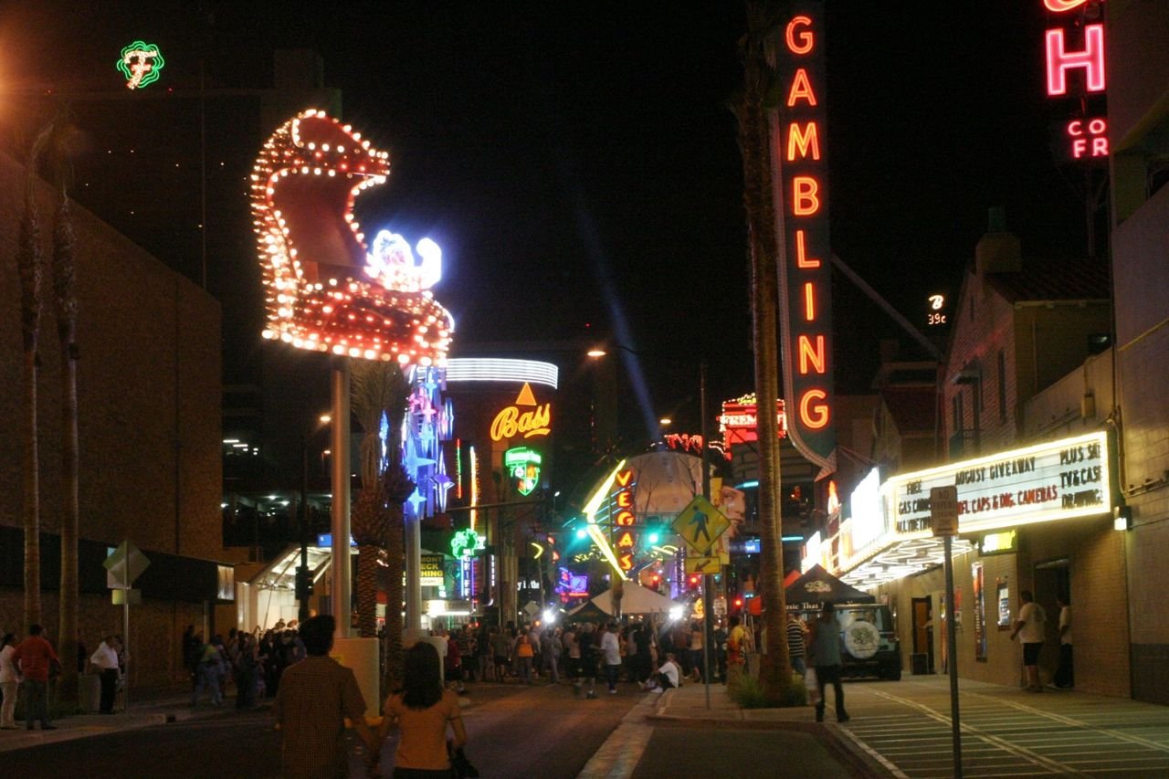
A vividly colorful display of neon lighting lights up the City of Las Vegas, Las Vegas Boulevard State Scenic Byway.
City of Las Vegas, Las Vegas Boulevard National Scenic Byway

Neon Night in Las Vegas

Public Domain.
Source & rights record ↗
Display changes: resized; some frames crop the image.
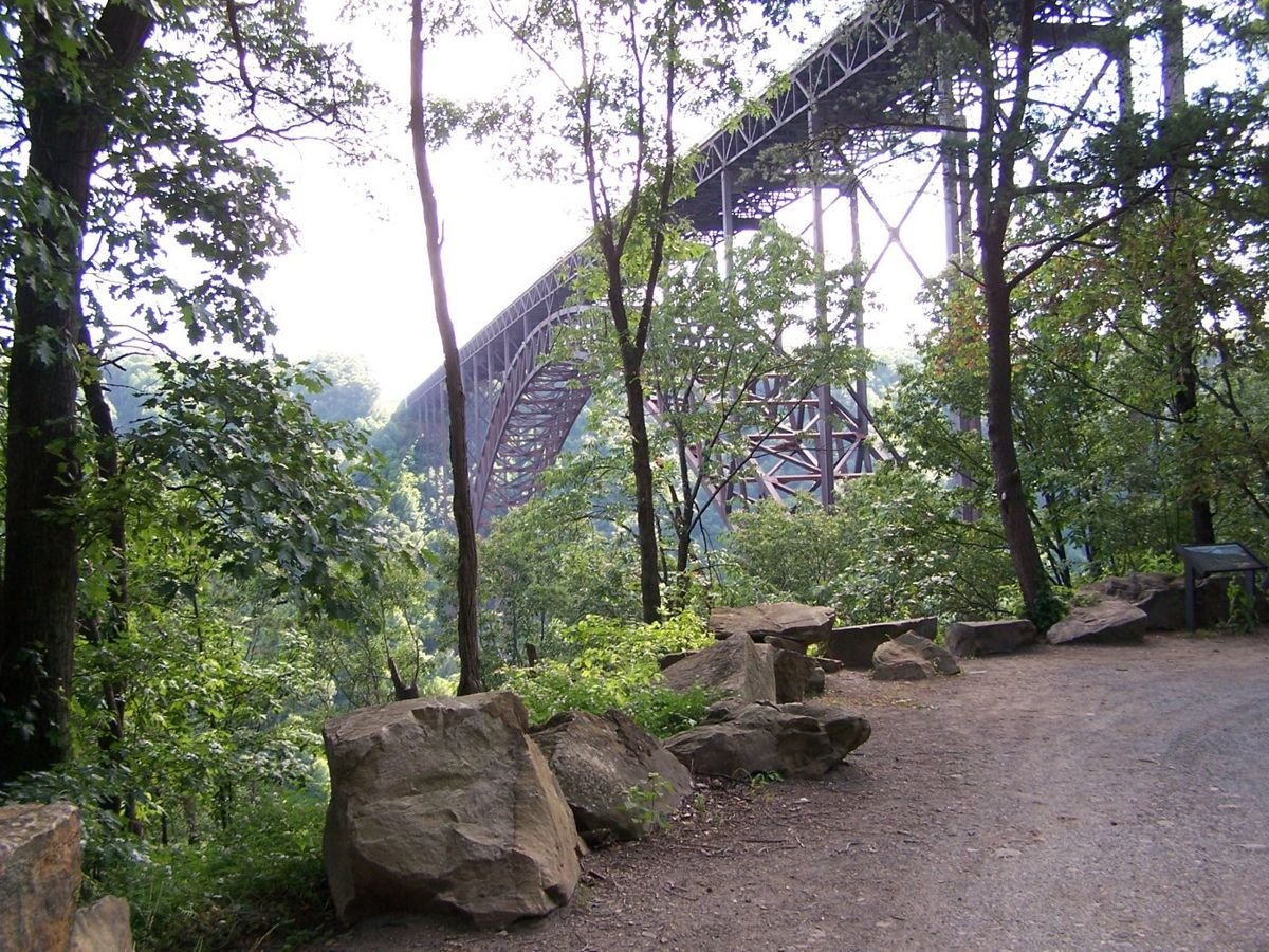
A pull-off on Fayette Station Road showcases the New River Gorge Bridge through the leafy foliage of summer.
Coal Heritage Trail

Fayette Station Road

Public Domain. Photograph by Molly Davis
Source & rights record ↗
Display changes: resized; some frames crop the image.
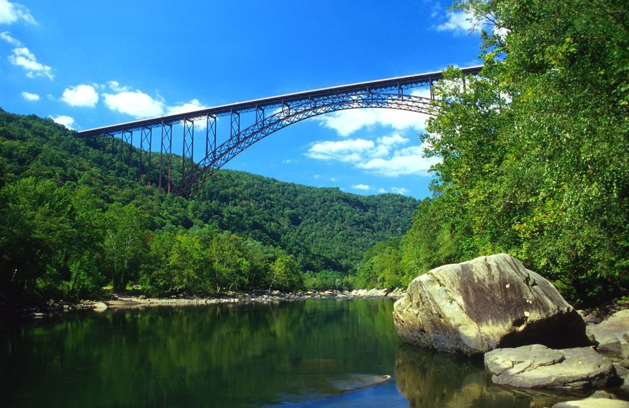
An engineering feat and regional icon, the New River Gorge Bridge connects the flourishing, green east and west banks of the river between two previously isolated communities.
Coal Heritage Trail

The World’s Second Longest Single Arch Steel Span, the New River Gorge Bridge

Public Domain. Photograph by David E. Fattaleh
Source & rights record ↗
Display changes: resized; some frames crop the image.

Blue skies contribute to this sweeping view of the York River from the Colonial Parkway
Colonial Parkway

Felgates Creek

Public Domain. Courtesy of National Park Service, Colonial National Historical Park
Source & rights record ↗
Display changes: resized; some frames crop the image.
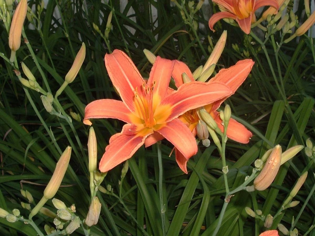
Spring flowers such as this bright daylily fill the landscape at Williamsburg, Virginia.
Colonial Parkway

Orange Daylilies

Public Domain. Photo by Katie Armstrong
Source & rights record ↗
Display changes: resized; some frames crop the image.
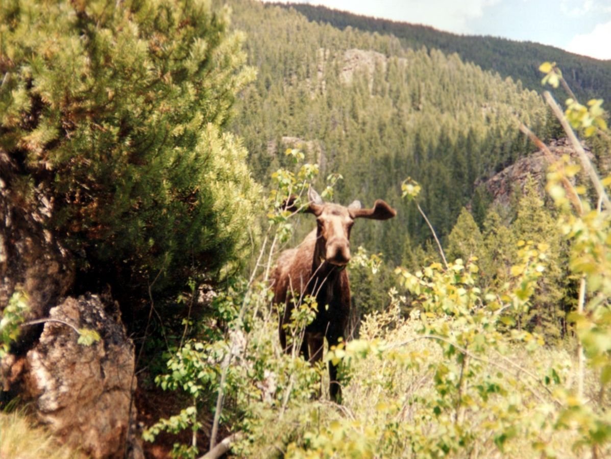
A moose lurks between the brush along Colorado River Headwaters.
Colorado River Headwaters Byway

Moose at Adams Falls

Public Domain. Photo by Mark Stefanski, courtesy of Purely Grand Photo Contest
Source & rights record ↗
Display changes: resized; some frames crop the image.
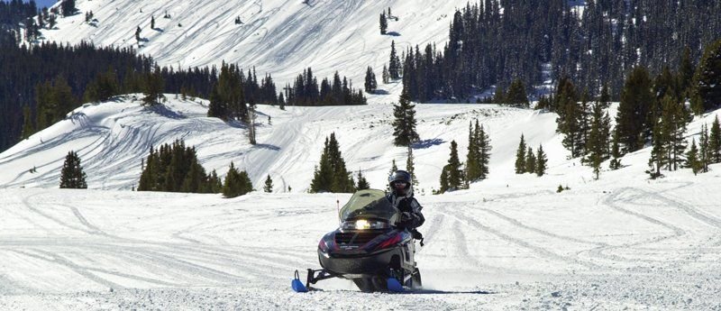
Powder flies as a snowmobiler takes a turn in the snow at Grand Lake near the Colorado River Headwaters Scenic Byway.
Colorado River Headwaters Byway

Snowmobiling Grand Lake in Colorado

Public Domain.
Source & rights record ↗
Display changes: resized; some frames crop the image.
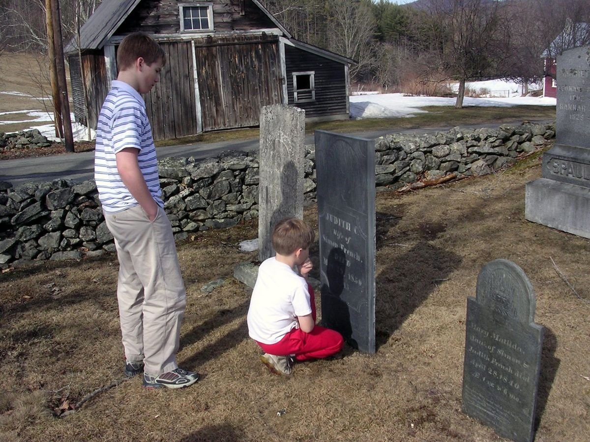
Children research 200-year old slate headstones in a local cemetery with classic New England stone walls in the background.
Connecticut River Byway

Exploring the Past - Valley Quest

Public Domain. Photo by Shelley Hadfield
Source & rights record ↗
Display changes: resized; some frames crop the image.
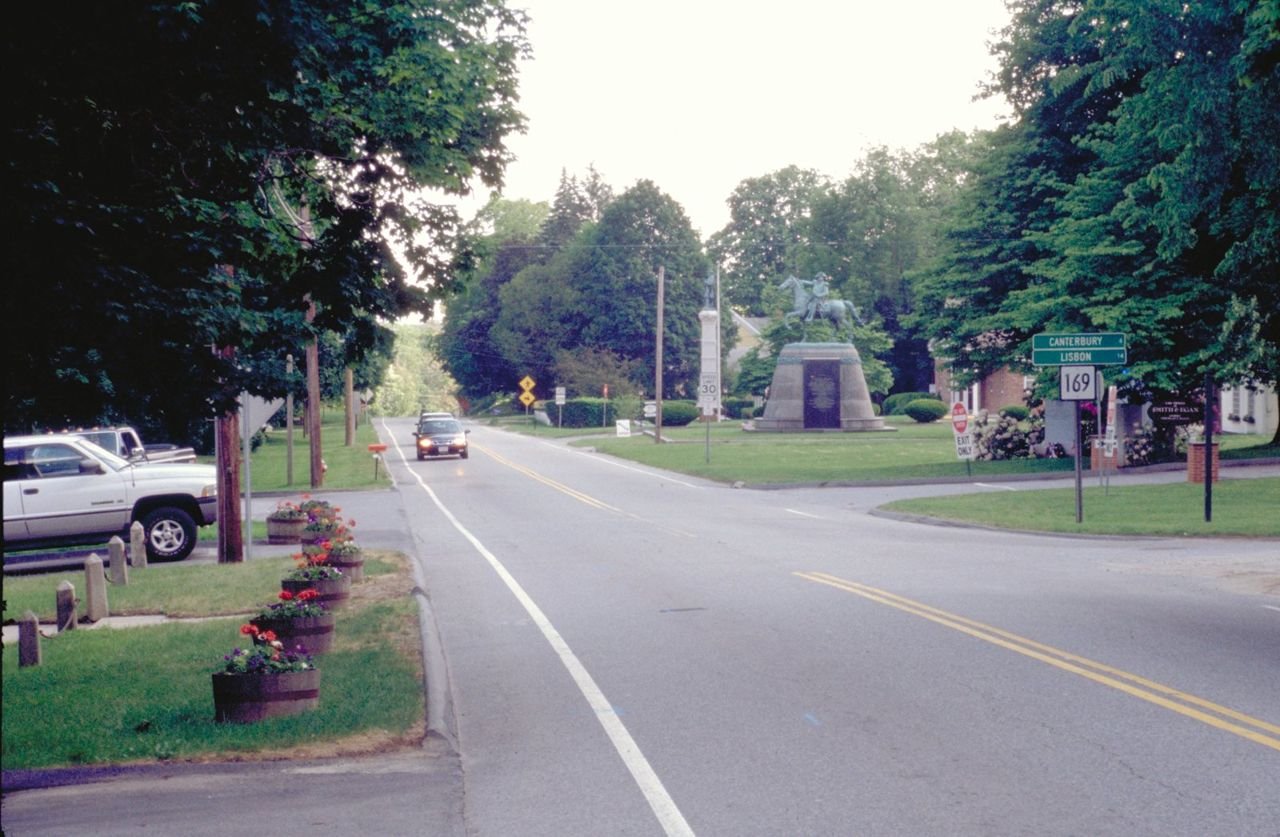
This photo shows a view of the park in Putnam, as well as other roadside scenery.
Connecticut State Route 169

Roadway in Putnam on SR-169

Public Domain. Photo by Dennis Adams
Source & rights record ↗
Display changes: resized; some frames crop the image.
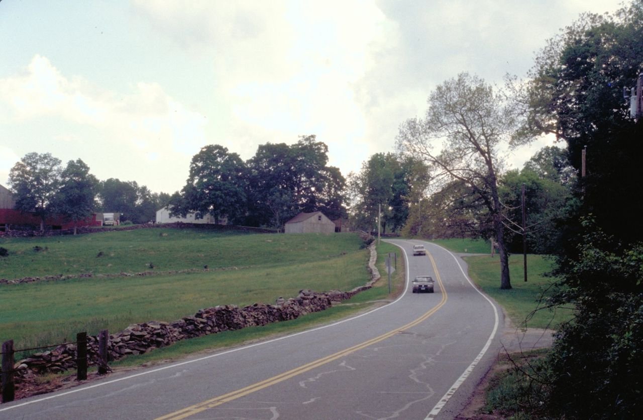
Soft lights at dusk heighten the serenity of the Byway. A cobblestone fence borders a farm field and lines the road.
Connecticut State Route 169

SR-169 at Dusk

Public Domain. Photo by Dennis Adams
Source & rights record ↗
Display changes: resized; some frames crop the image.
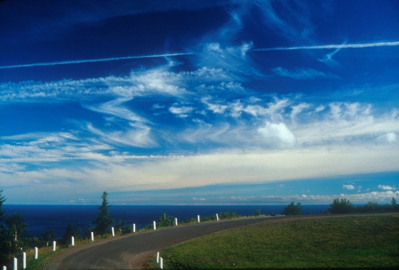
This 9.5 mile drive is considered one of the most scenic drives in the U.S. Views from the top of Brockway Mountain Drive include the tip of the Copper Country and spectacular Lake superior vistas.
Copper Country Trail

Brockway Mountain Drive

Public Domain. Tim Burke
Source & rights record ↗
Display changes: resized; some frames crop the image.
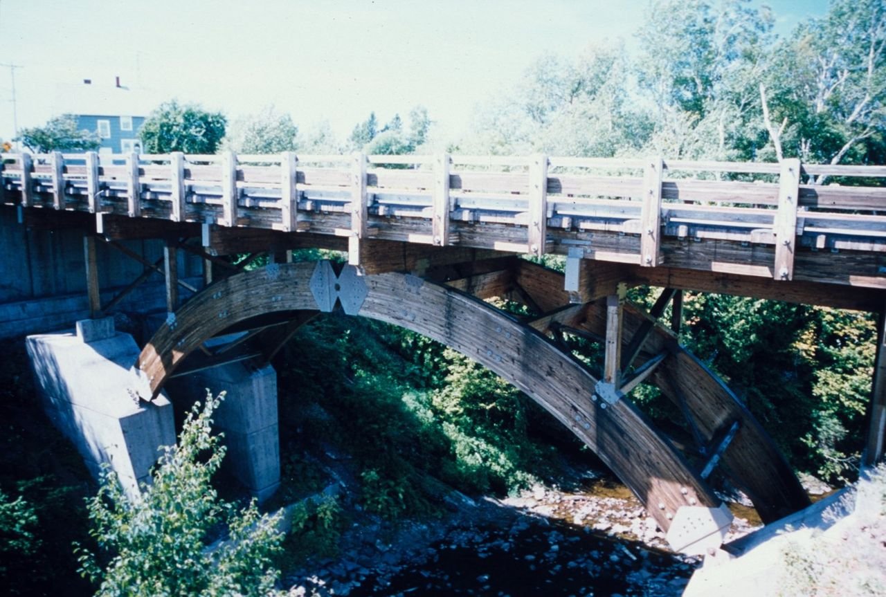
This wooden Bridge spans the Eagle River.
Copper Country Trail

Eagle River

Public Domain. Tim Burke
Source & rights record ↗
Display changes: resized; some frames crop the image.
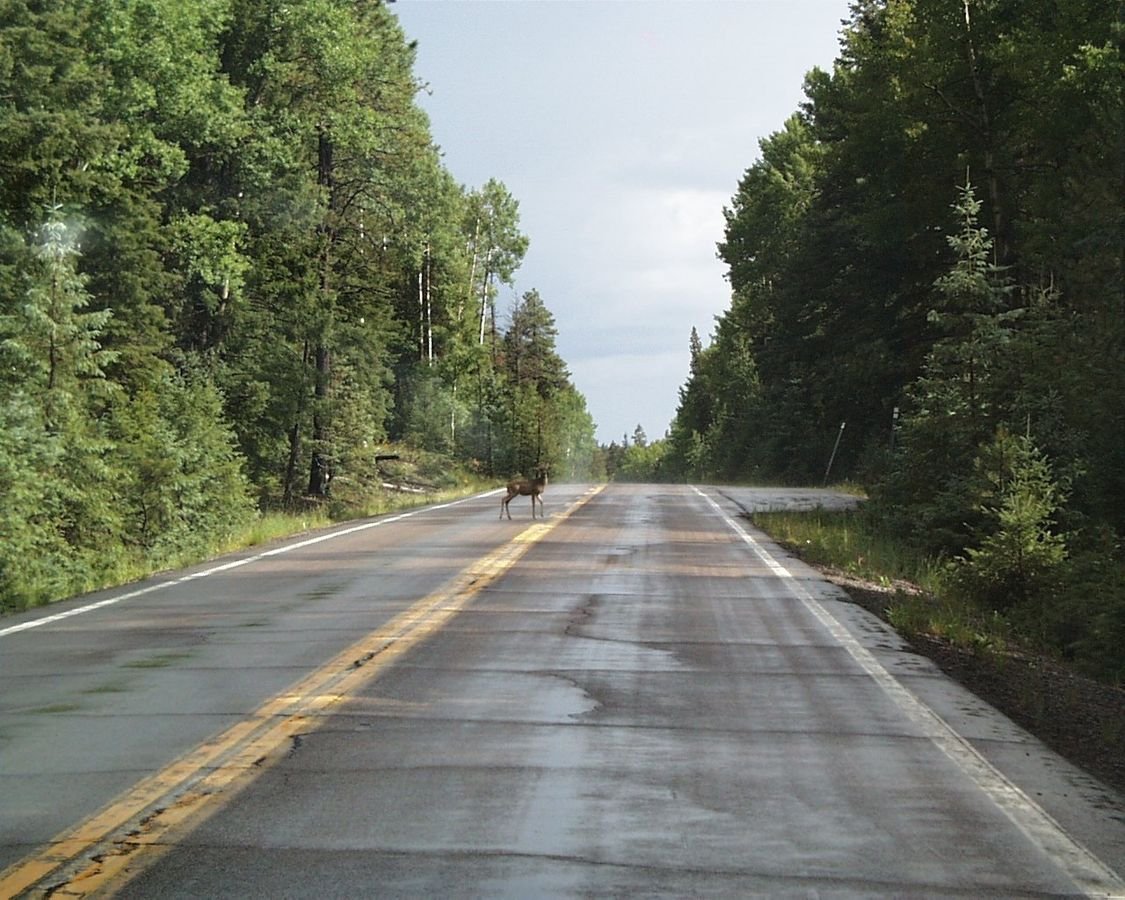
Wildlife, such as deer, walk freely along the Coronado Trail.
Coronado Trail Scenic Byway

Deer Along the Road

Public Domain.
Source & rights record ↗
Display changes: resized; some frames crop the image.
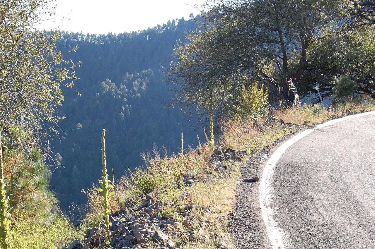
The edge of the asphalt and a sharp dropoff to a deep canyon leave no room on the shoulder for a safety guardrail or a bike lane on this mountain road's curve.
Coronado Trail Scenic Byway

Narrow Shoulder on Coronado Trail Scenic Byway

Public Domain. Photo by Brent Mazur
Source & rights record ↗
Display changes: resized; some frames crop the image.
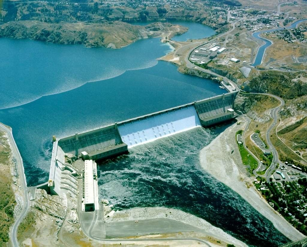
An aerial view shows the entire Grand Coulee Dam, both the concrete structure and the water behind. Its enormity is more than a picture can capture.
Coulee Corridor Scenic Byway

Grand Coulee Dam

Public Domain.
Source & rights record ↗
Display changes: resized; some frames crop the image.
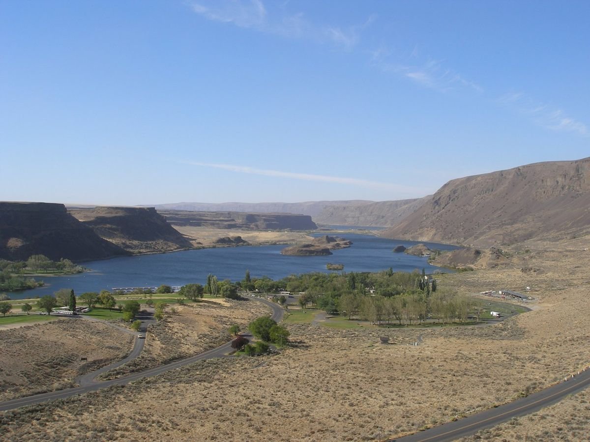
Sun Lakes State Park is bathed in sun, its blue water and tree-lined landscape overlooked by clear skies.
Coulee Corridor Scenic Byway

Sun Lakes State Park

Public Domain. Photo by Tim Alling
Source & rights record ↗
Display changes: resized; some frames crop the image.
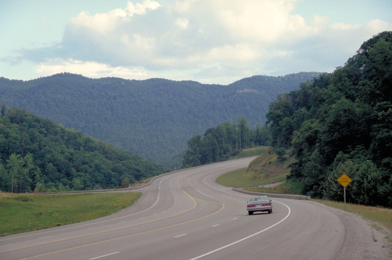
A lone driver approaches a curve through tree-covered, rounded mountains on Highway 23, the Country Music Highway, near Pikeville, Kentucky.
Country Music Highway

Highway 23 near Pikeville Looking South

Public Domain. Photo by Dennis Adams
Source & rights record ↗
Display changes: resized; some frames crop the image.
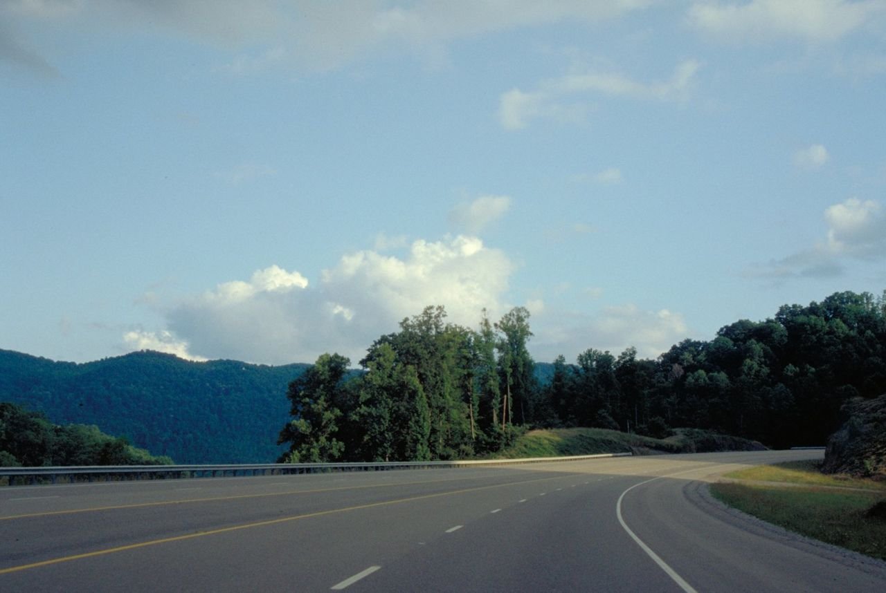
Mountain shadows fall across Highway 23.
Country Music Highway

Highway 23 near Pikeville Looking South

Public Domain. Photo by Dennis Adams
Source & rights record ↗
Display changes: resized; some frames crop the image.
National Scenic Byways Program - Best Practices Photo
Creole Nature Trail

Louisiana's Creole Nature Trail

Public Domain.
Source & rights record ↗
Display changes: resized; some frames crop the image.
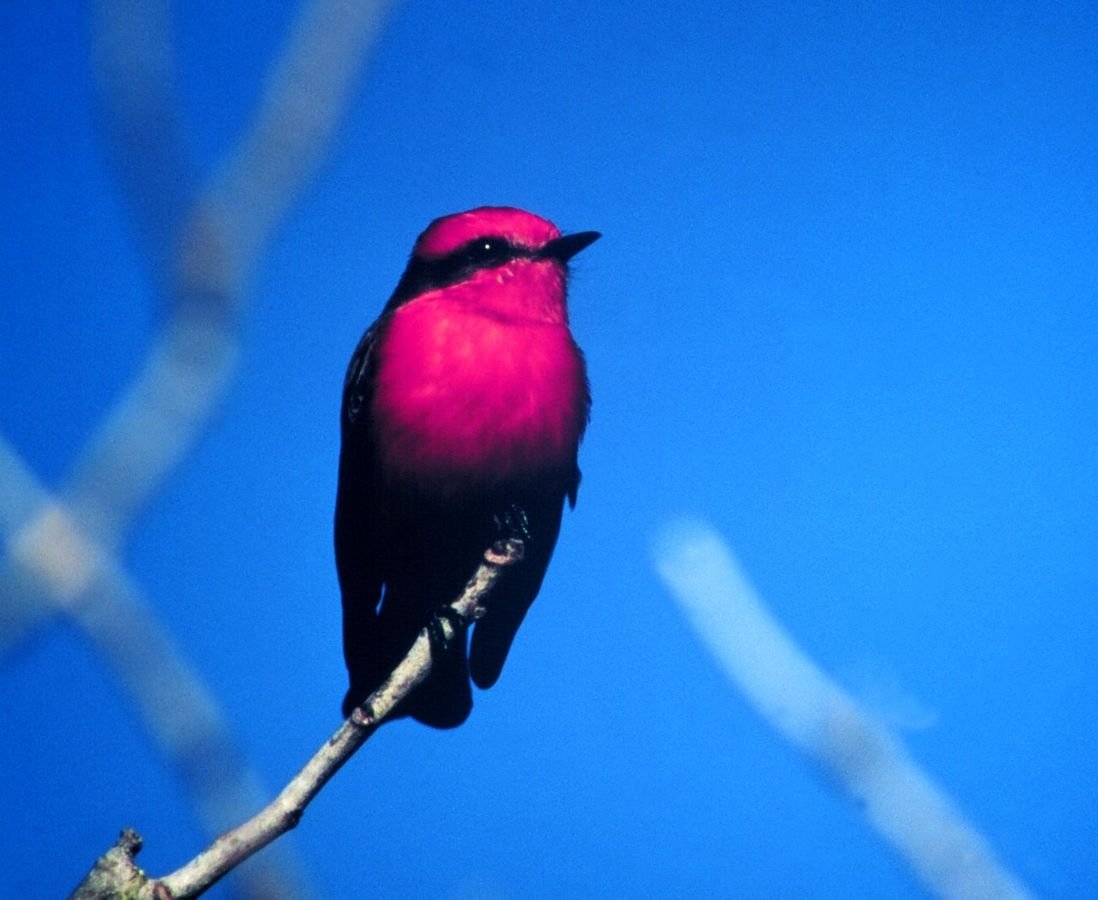
The bright red plumage of the Vermillion Flycatcher stands out against a vivid blue sky on the Creole Nature Trail All-American Road.
Creole Nature Trail

Vermillion Flycatcher Against Blue Sky on the Creole Nature Trail

Public Domain.
Source & rights record ↗
Display changes: resized; some frames crop the image.
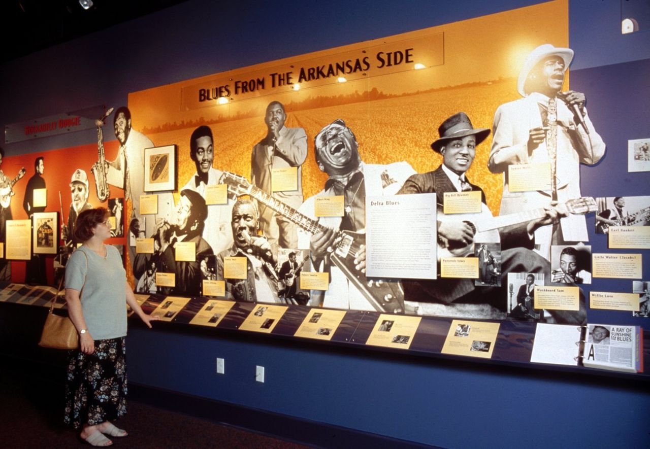
The blues music tradition of the Arkansas Delta is one of the many stories told at the Delta Cultural Center in Helena, a primary interpretive center along The Great River Road.  Exhibits also tell a comprehensive story of the land and its people from prehistoric times to the present.
Crowley's Ridge Parkway

Delta Cultural Center Exhibit

Public Domain. Arkansas Delta Byways: Cranford Johnson Robinson Woods
Source & rights record ↗
Display changes: resized; some frames crop the image.
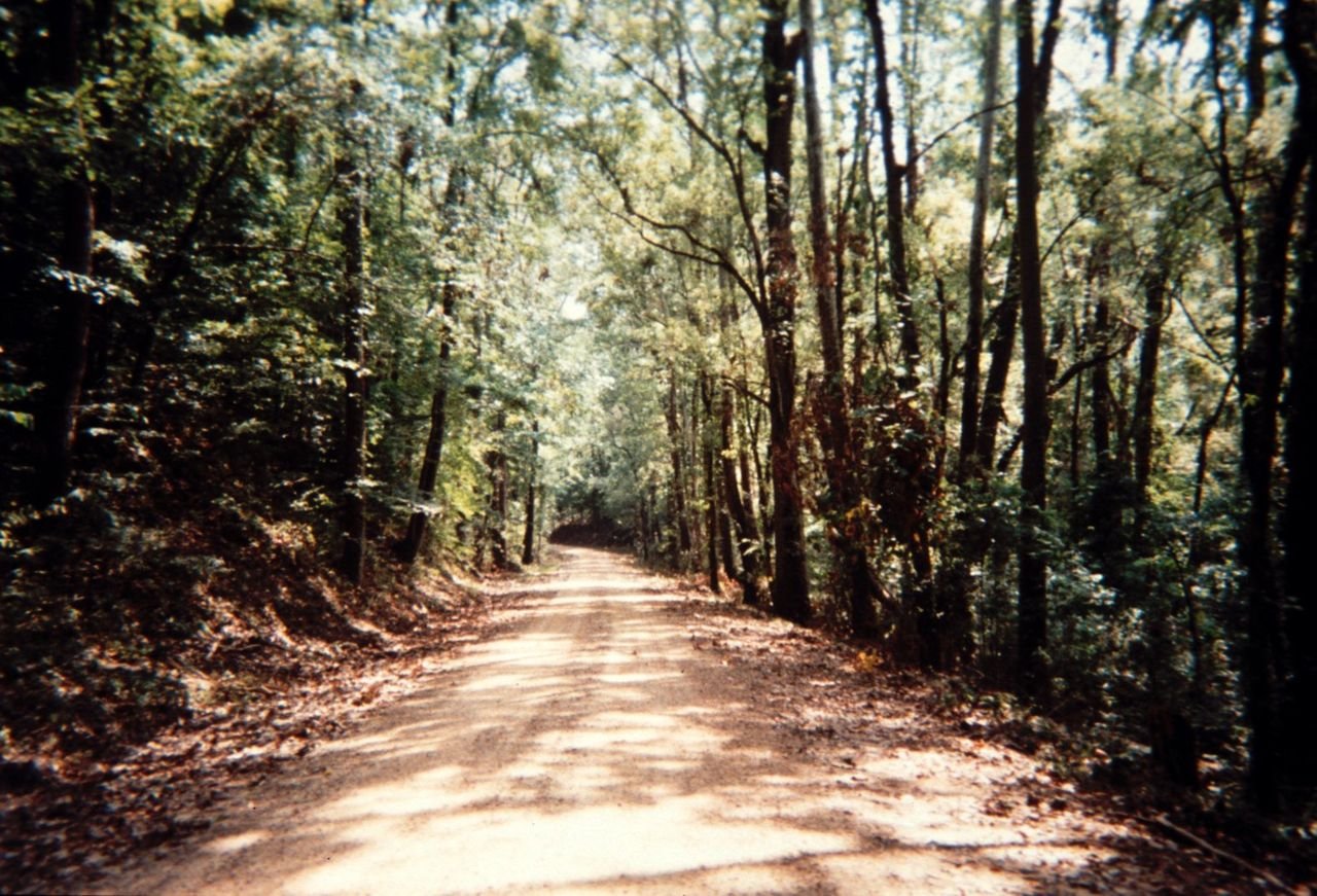
The St. Francis National Forest is the smallest national forest in the country and includes the only upland hardwood forest along Arkansas' Great River Road route.  It also includes the only unpaved section of the route.
Crowley's Ridge Parkway

St. Francis National Forest

Public Domain. Courtesy of Arkansas Delta Byways and Joe Bonnette
Source & rights record ↗
Display changes: resized; some frames crop the image.
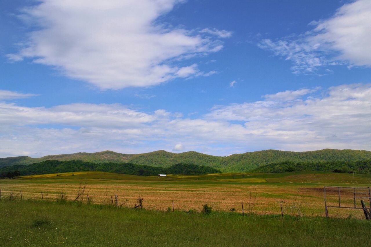
This picture was taken while travelling the byway route along S.R. 63 near Speedwell, TN. Rolling farmland and scenic mountain tops make a drive on the Cumberland Scenic Byway a special drive.
Cumberland Historic Byway

Escapement near Speedwell

Public Domain. Tennessee Department of Transportation
Source & rights record ↗
Display changes: resized; some frames crop the image.
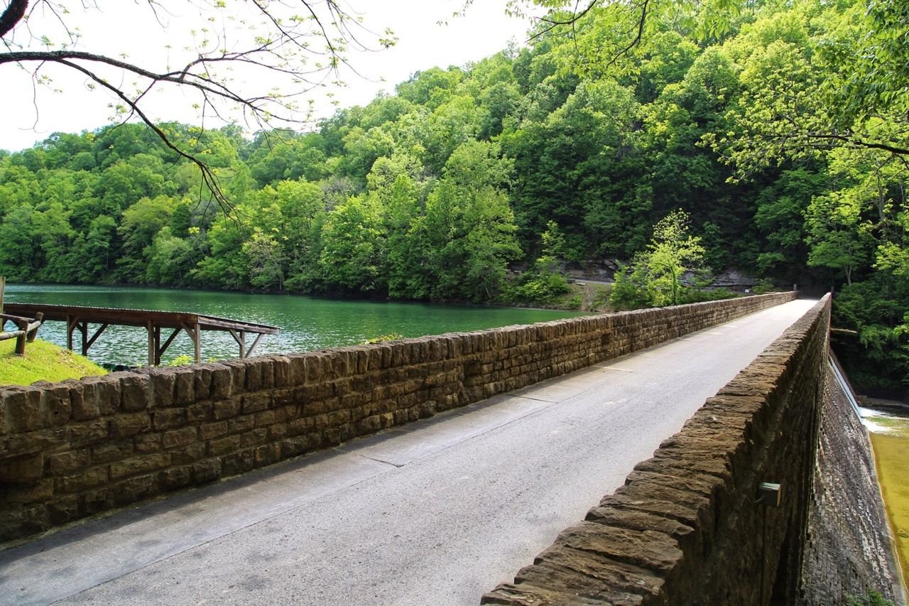
This image shows a 1 lane bridge and dam in the Standing Stone State Park. A row of rental paddle boats exist in the left side of the picture, and the road meanders up a hill to a scenic overlook.
Cumberland Historic Byway

Lake & Bridge

Public Domain. Tennessee Department of Transportation
Source & rights record ↗
Display changes: resized; some frames crop the image.
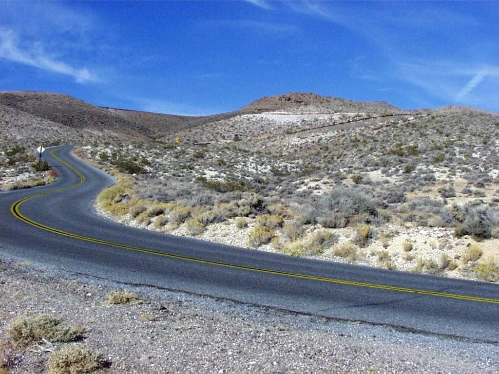
Follow this windy road through the Black Mountains to reach Dante's View.
Death Valley Scenic Byway

Dante's View Road

Public Domain. Photo from National Park Service
Source & rights record ↗
Display changes: resized; some frames crop the image.
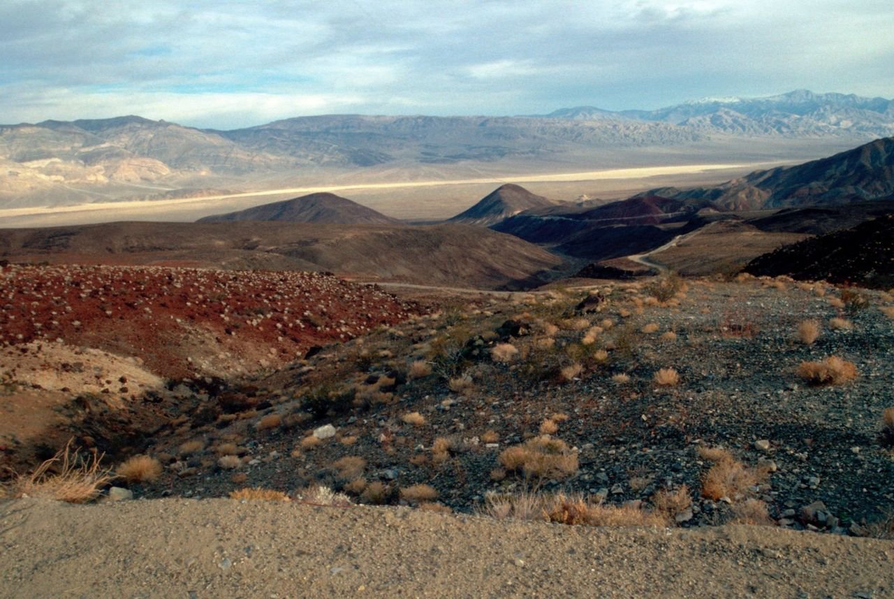
This view shows the Argus Mountain Range and Panamint Valley from Father Crowley Point.
Death Valley Scenic Byway

View from Father Crowley Point

Public Domain. Courtesy of the National Park Service
Source & rights record ↗
Display changes: resized; some frames crop the image.
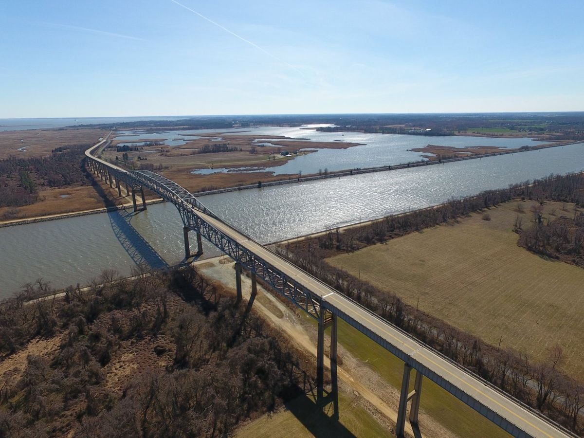
A sunny day picturing the Delaware Bayshore Byway Route at the Reedy Point Bridge crossing the Chesapeake & Delaware Canal Area.
Delaware Bayshore Byway

Bayshore Byway Reedy Point Bridge

Public Domain. Glenn Gauvry
Source & rights record ↗
Display changes: resized; some frames crop the image.
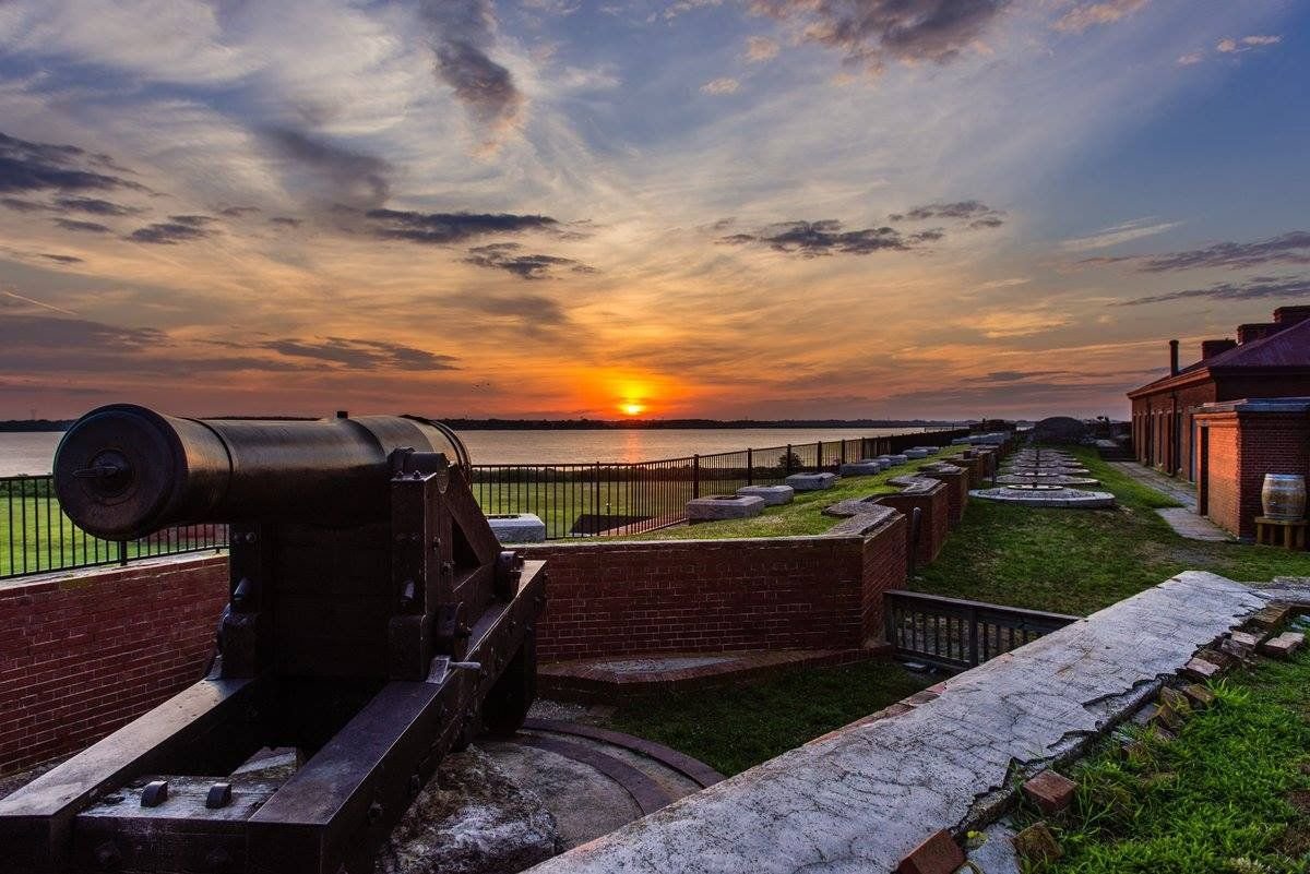
A scenic view from the top of historic Fort Delaware featuring a cannon looking west at a picturesque sunset over the Delaware River.
Delaware Bayshore Byway

Fort Delaware Sunset

Public Domain. Delaware State Parks
Source & rights record ↗
Display changes: resized; some frames crop the image.
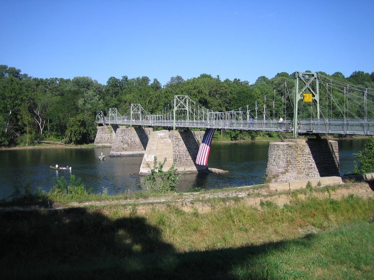
A scenic view of the Roebling Pedestrian Bridge at Lumberville/Raven Rock captures the beauty of the Delaware River and the Delaware River Scenic Byway. Roebling, who went on to build the Brooklyn Bridge in New York City, built this modern steel suspension bridge that sits on top of original 1855 stone abutments.
Delaware River Scenic Byway

Lumberville/Raven Rock Pedestrian Bridge

Public Domain. Photo by The RBA Group
Source & rights record ↗
Display changes: resized; some frames crop the image.
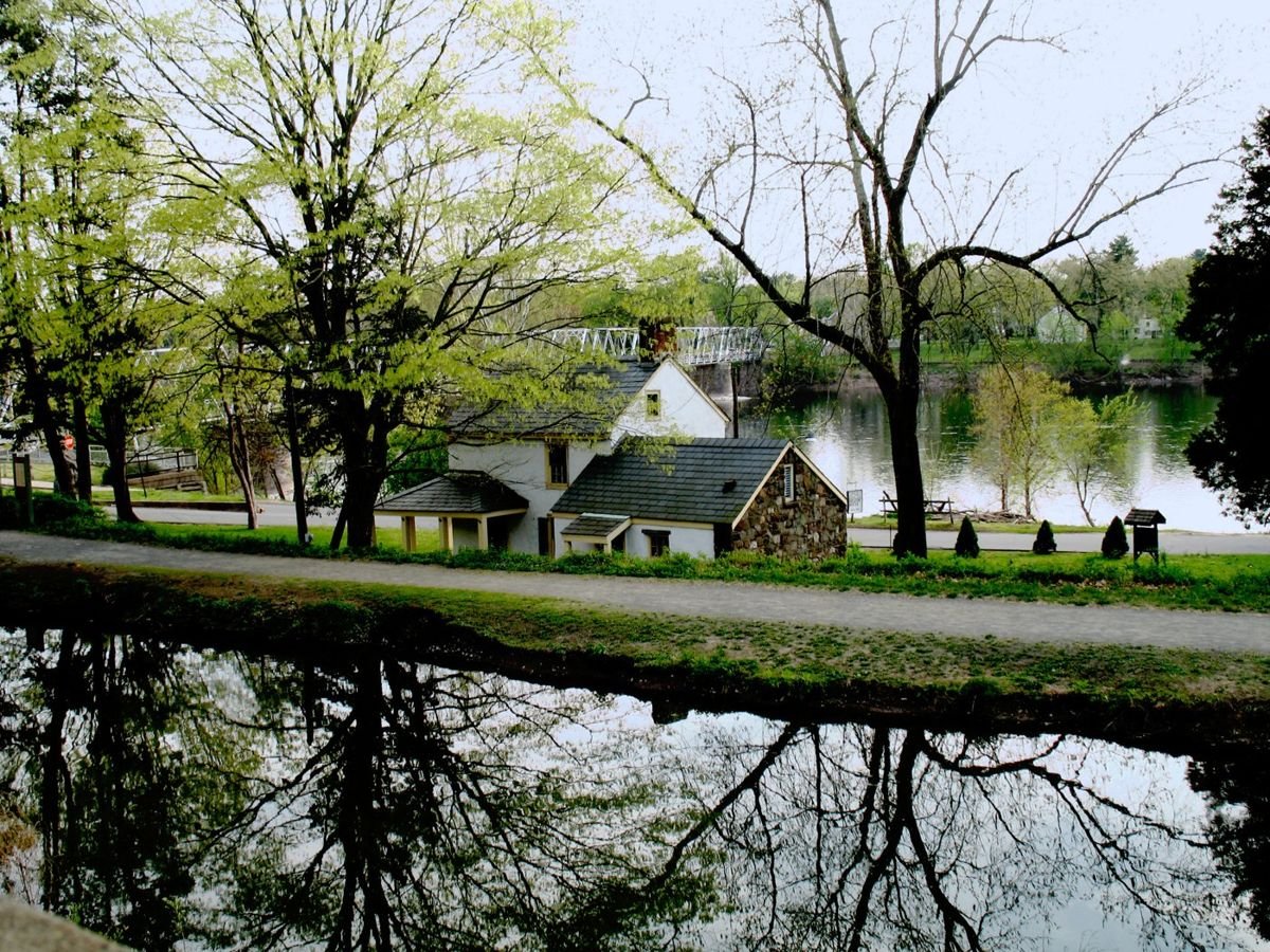
Parallel ribbons of history can be seen - the Delaware and Raritan Canal with its multiuse path and historic buildings (such as the Ferry House used during the Christmas morning crossing of George Washington) and the calming flow of the Delaware River. Nearby Pennsylvania can be seen in the background, connected by a historic bridge.
Delaware River Scenic Byway

The D&R Canal, Washington's Crossing and the Delaware River

Public Domain. Photo by Carolyn Campbell McGovern
Source & rights record ↗
Display changes: resized; some frames crop the image.
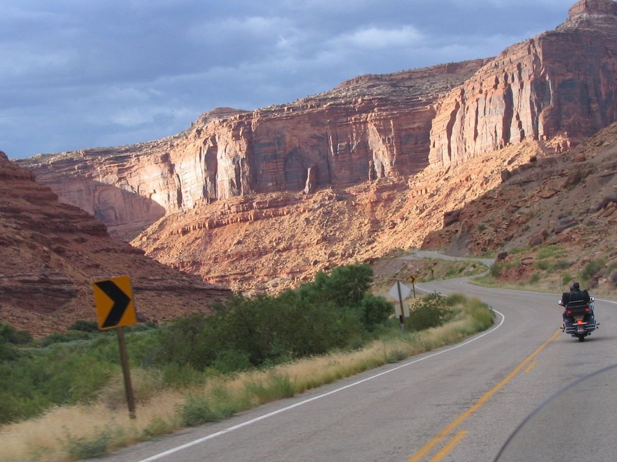
A motorcyclist zooms beneath sunset-lit cliffs on the Colorado River near Moab.
Dinosaur Diamond Prehistoric Highway

Upper Colorado Scenic Byway Canyon View

Public Domain. Photo by P. Hicks
Source & rights record ↗
Display changes: resized; some frames crop the image.
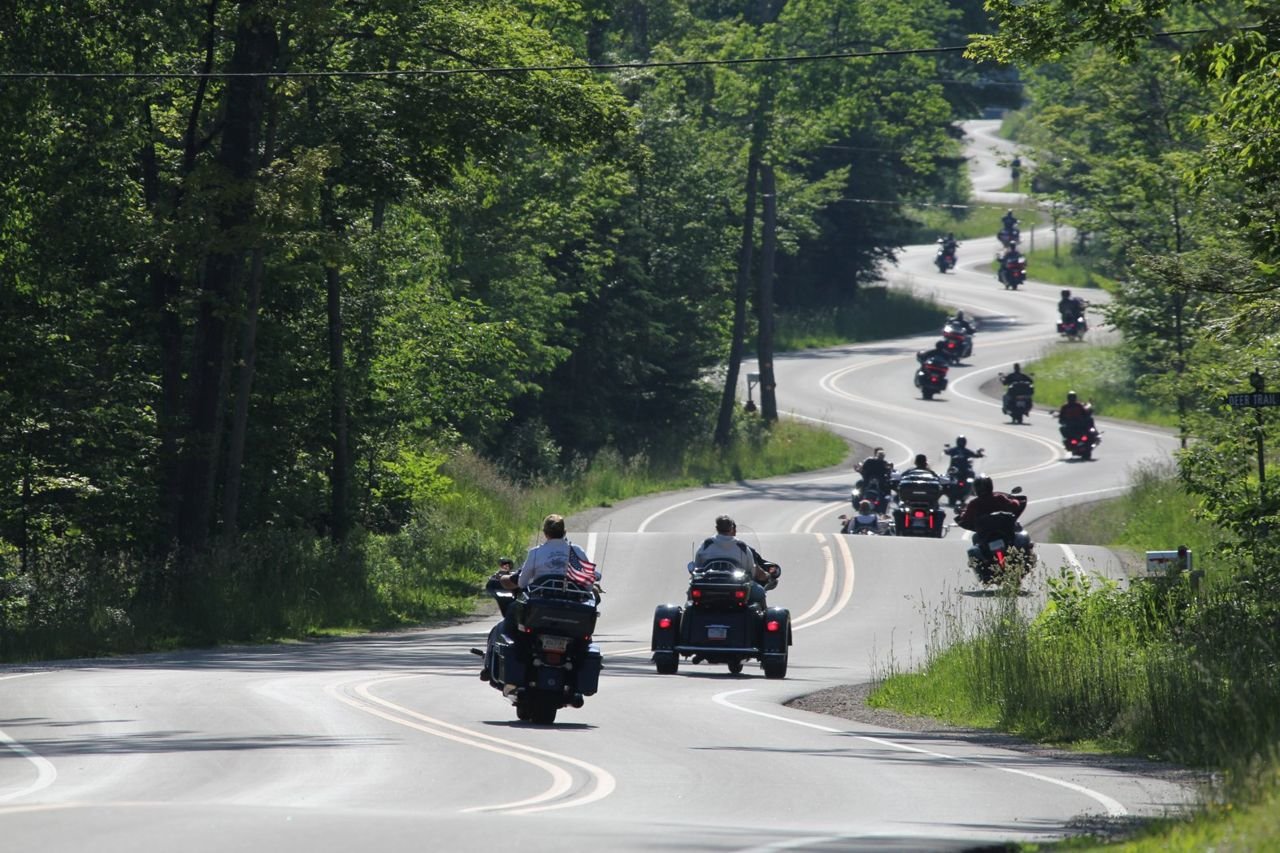
A group of motorcyclists riding two-wheeled and three-wheeled bikes are enjoying the 15 curves of a segment of Wisconsin Highway 42. The highway’s configuration is perfect for recreational drivers to enjoy the beauty of the natural world in all seasons.
Door County Coastal Byway

F8-2 Recreational Transportation WI Hwy 42 Motorcycle Ride

Public Domain. DoorCounty.com
Source & rights record ↗
Display changes: resized; some frames crop the image.
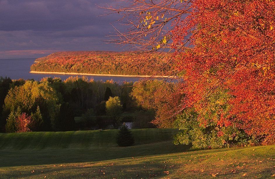
Grandview Overlook rests atop the Niagara Escarpment bluffs of Ellison Bay, Wisconsin looking northward. The scarlet and bittersweet autumn foliage is interspersed with Brunswick-green cedar trees. The foliage, Kelly-green slopes and golden shorelines all provide a spectacular contrast against backdrops of darkening periwinklepink skies and the ultramarine waters of Green Bay near sunset.
Door County Coastal Byway

Grandview Overlook

Public Domain. Len Villano
Source & rights record ↗
Display changes: resized; some frames crop the image.

From high atop Clinch Mountain, one can see south across the forested, winding shorelines of Cherokee Lake to the misty Great Smoky Mountains in the distance, a long, serene view of a broad valley with extensive lakes stretching in all directions. This was the route and landscape through which passed the East Tennessee Crossing — the Warriors Path, the Wilderness Road, and the Dixie Highway.
East Tennessee Crossing

The Lakes of the Crossing from Clinch Mountain

Public Domain. Photo by Michael Sledjeski
Source & rights record ↗
Display changes: resized; some frames crop the image.
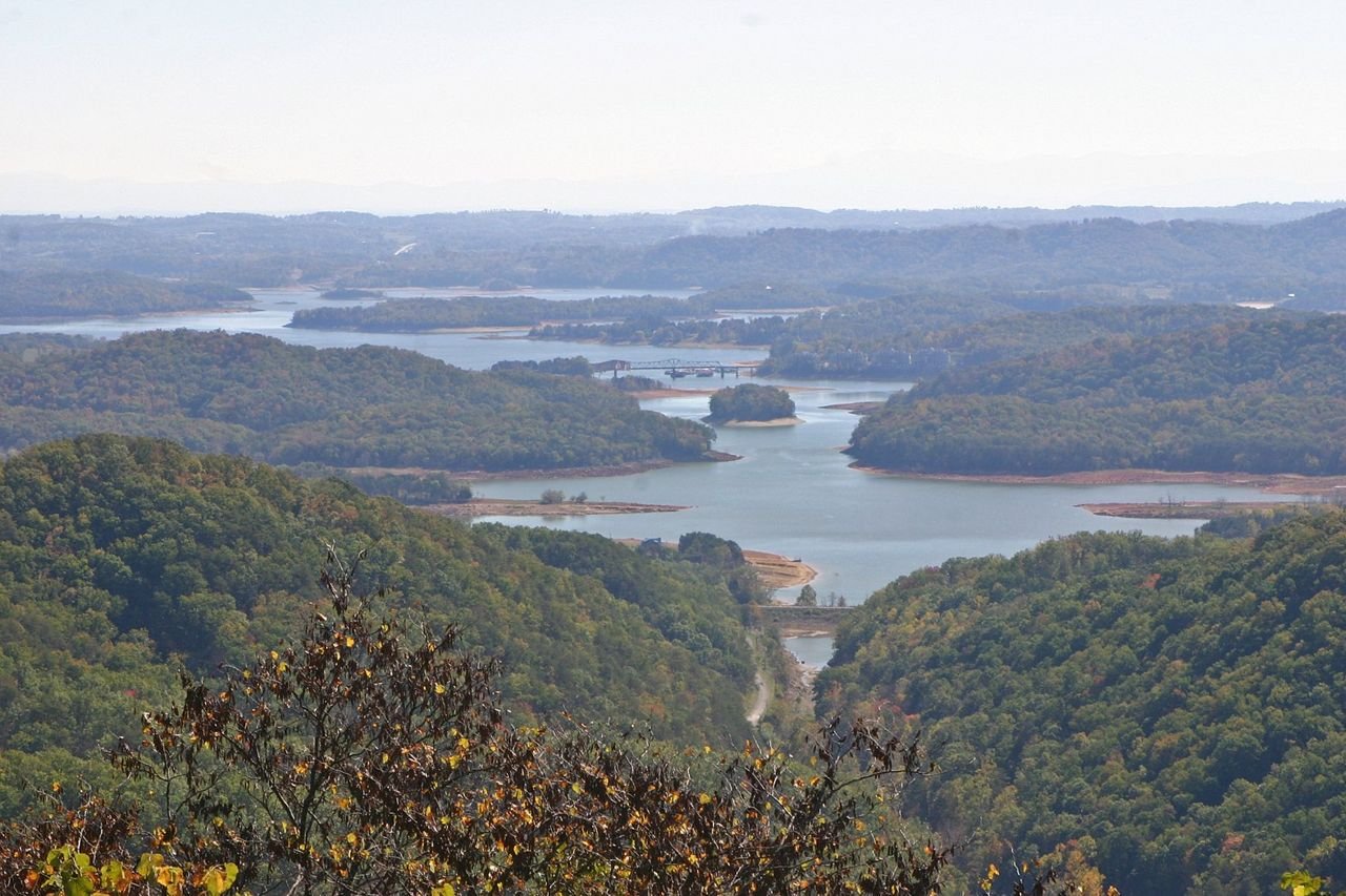
From high atop Clinch Mountain and the winding shorelines of Cherokee Lake, travelers can find a long, serene view of the broad valley with extensive lakes stretching in all directions. This was the route and landscape through which passed the East Tennessee Crossing Byway — the Warriors Path, the Wilderness Road and the Dixie Highway.
East Tennessee Crossing

View from Atop Clinch Mountain

Public Domain. Photo by Ann Cason
Source & rights record ↗
Display changes: resized; some frames crop the image.
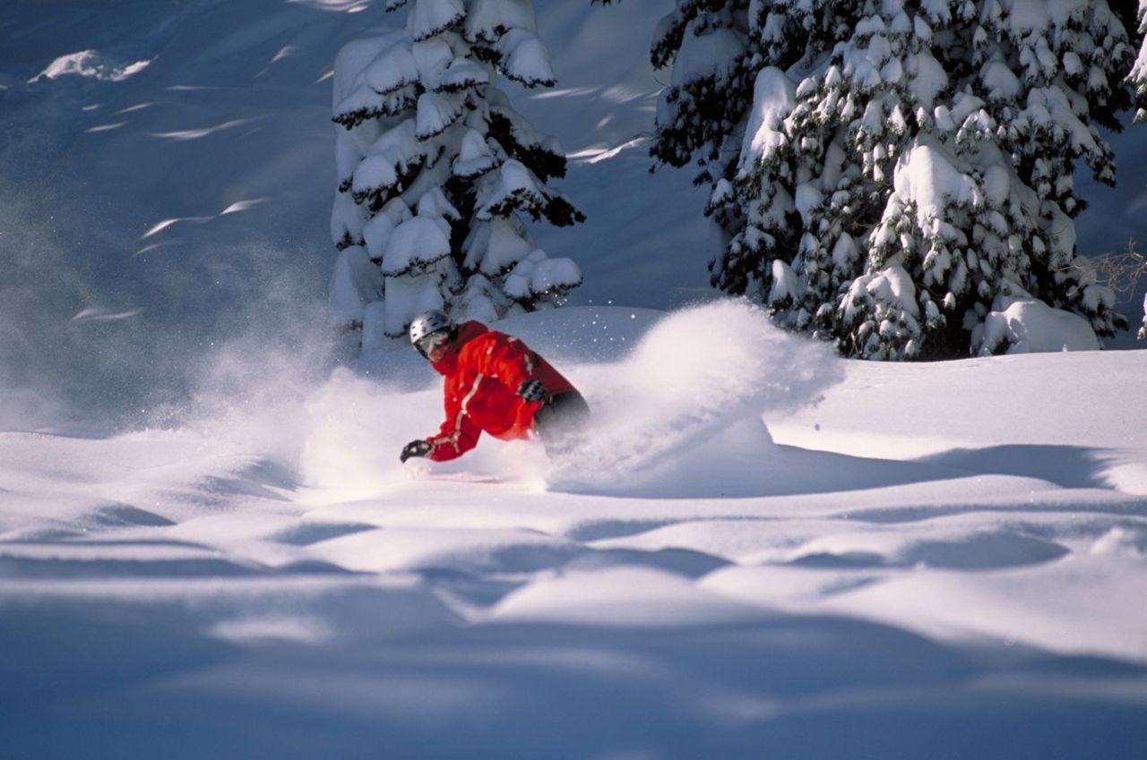
Bear Valley Mountain Resort's snow is great for carving.
Ebbetts Pass Scenic Byway

Carving through Powder

Public Domain. Tim Bottomley
Source & rights record ↗
Display changes: resized; some frames crop the image.

Bigfork Bridge blends into the landscape on the Edge of the Wilderness.
Edge of the Wilderness

Bigfork Bridge

Public Domain. Photo by Dennis Adams
Source & rights record ↗
Display changes: resized; some frames crop the image.
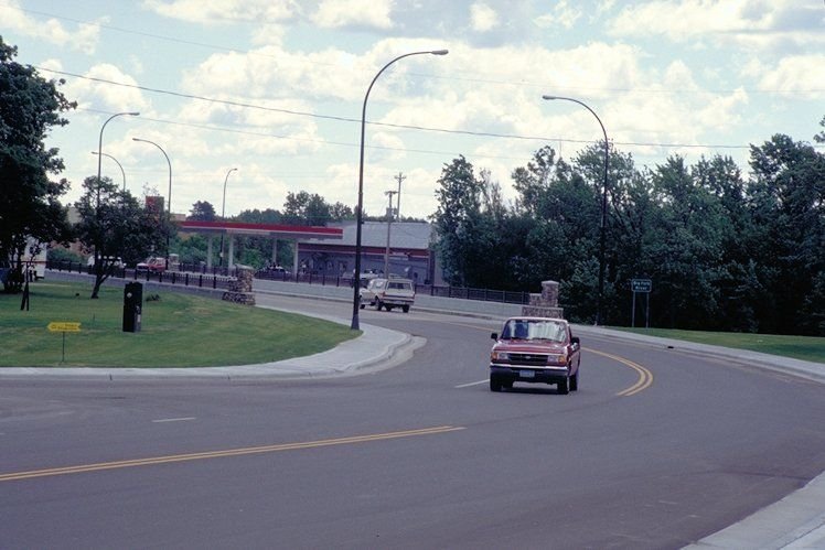
Drivers cross a bridge in Bigfork, which is near a major byway interpretive station.
Edge of the Wilderness

Crossing the Bridge in Bigfork

Public Domain. Photo by Dennis Adams of FHWA
Source & rights record ↗
Display changes: resized; some frames crop the image.
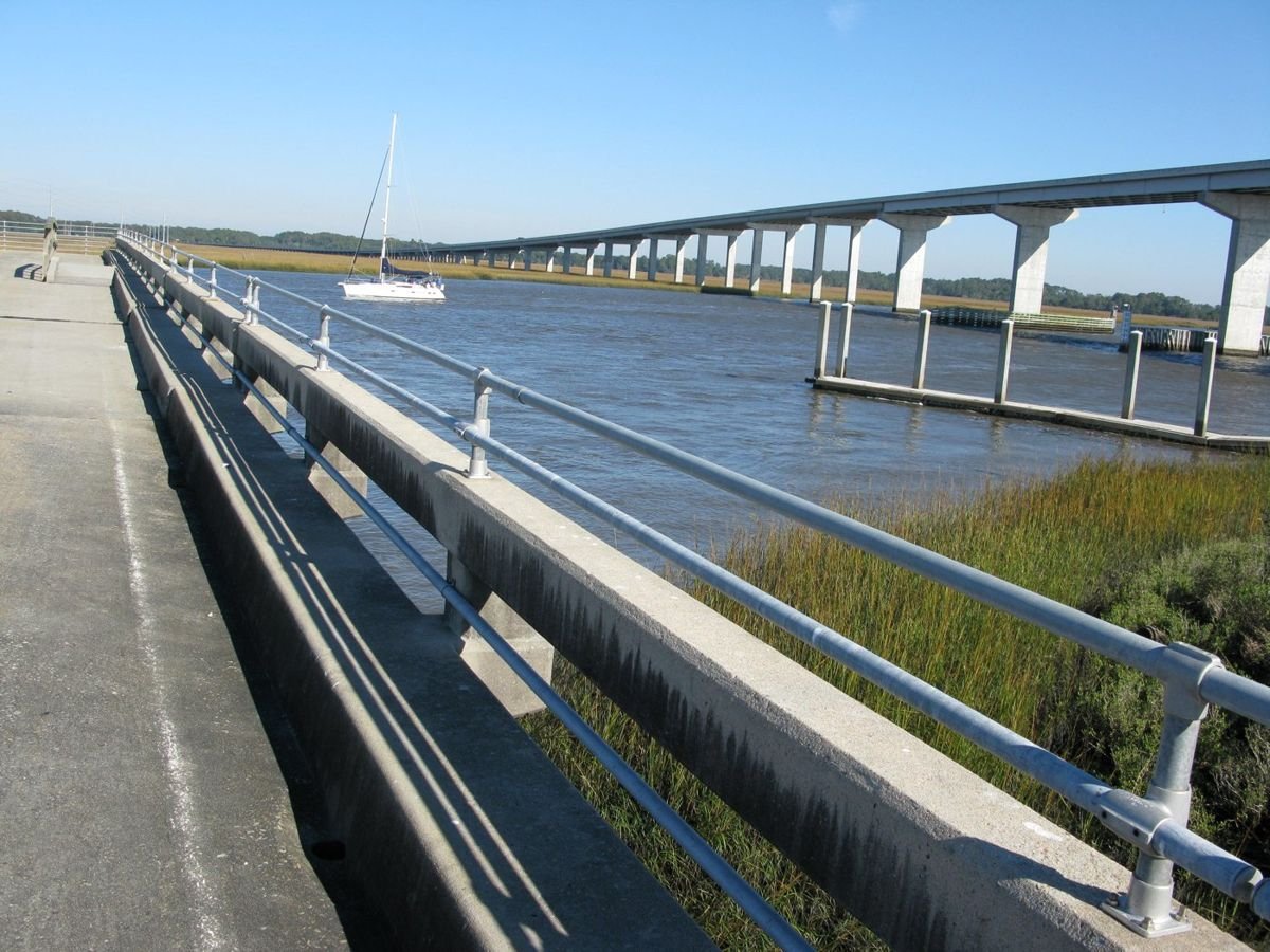
The bridge at Dawhoo Landing crawls across the crystal water and fresh green grass. Below the bridge, a public boat landing allows access to the water as well as closeup views of pelicans and boats. The traveler can also go crabbing, fishing or have a picnic.
Edisto Island National Scenic Byway

Dawhoo Landing on the Atlantic Intracoastal Waterway

Public Domain. Jan Turner
Source & rights record ↗
Display changes: resized; some frames crop the image.
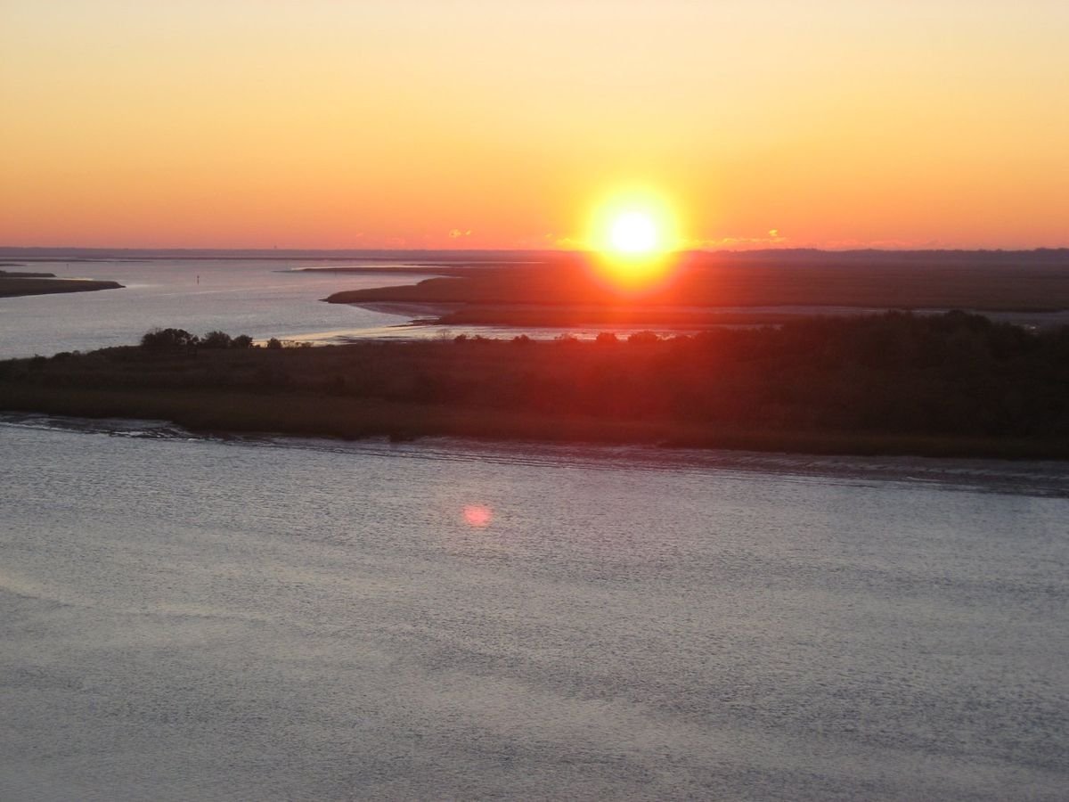
The sun rises casting orange, red, and pink light across the Intracoastal Waterway along the Edisto Island National Scenic Byway.
Edisto Island National Scenic Byway

Sunrise from the Crest of McKinley Washington, Jr., Bridge

Public Domain.
Source & rights record ↗
Display changes: resized; some frames crop the image.

El Camino Real meets several different streets as it traverses the New Mexico landscape.
El Camino Real

Intersecting Streets

Public Domain. Photo by Dennis Adams of FHWA
Source & rights record ↗
Display changes: resized; some frames crop the image.
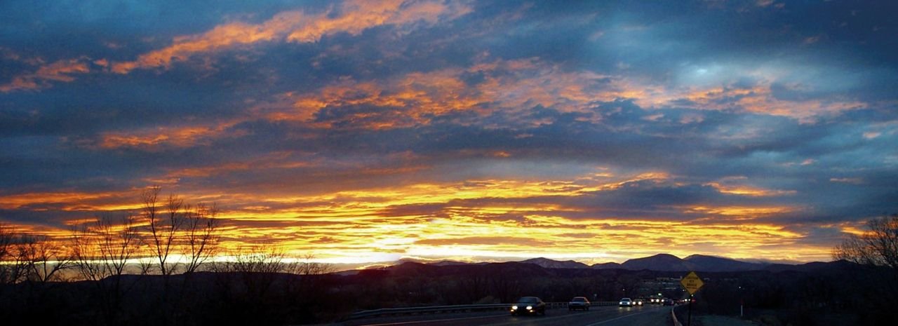
A glorious sunset provides a spectacular ending to the day for homebound drivers. One can almost feel their relief crossing the Rio Grande on their way home. Many of the residents of the Española Valley can trace their roots back to the time of Oñate and for the Pueblo Indians even further back. Like their ancestors of centuries past, they still travel El Camino Real home.
El Camino Real

Sunset Over Jemez Mountains from Valdez Bridge

Public Domain. Photo by Greg Lonewolf, Española, NM
Source & rights record ↗
Display changes: resized; some frames crop the image.
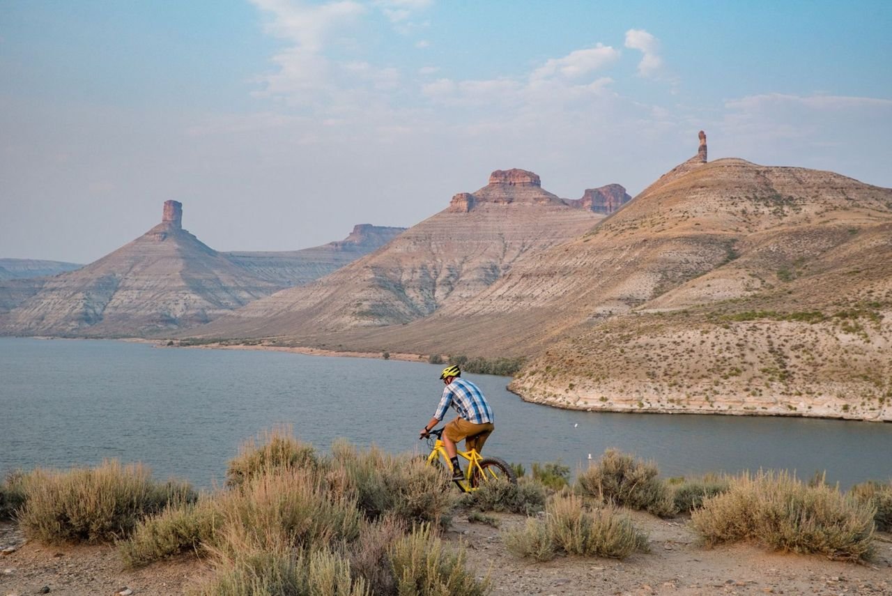
A mountain biker rides along a ridge overlooking the Flaming Gorge Reservoir with a view of Big Firehole Canyon in the distance that includes tall pinnacled buttes North and South Chimney Rock.
Flaming Gorge - Green River Basin Scenic Byway

Big Firehole Canyon

Public Domain. Rock Springs Chamber
Source & rights record ↗
Display changes: resized; some frames crop the image.
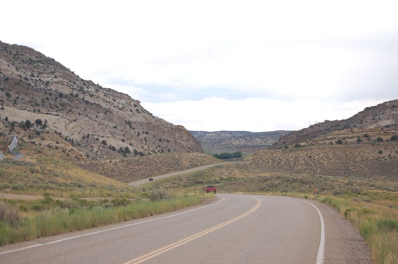
US Hwy 191 proceeds north through a gap in a slanted ridgeline on the east side of Flaming Gorge Reservoir.
Flaming Gorge-Uintas National Scenic Byway

Mountain Pass on Flaming Gorge Scenic Byway

Public Domain. Photo by A. E. Crane
Source & rights record ↗
Display changes: resized; some frames crop the image.
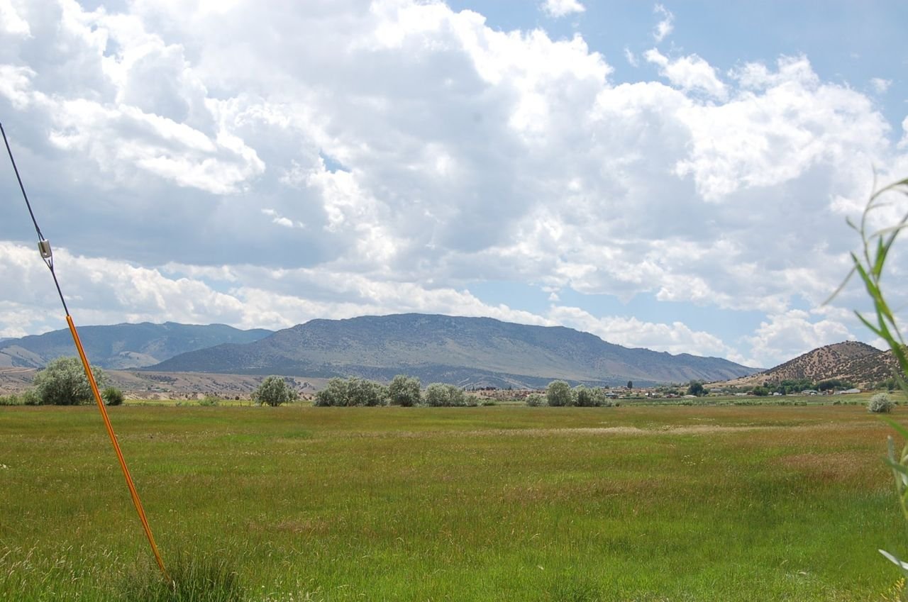
Mountains and pasture surround Manila at the northern end of the Flaming Gorge - Uintas Scenic Byway in Utah.
Flaming Gorge-Uintas National Scenic Byway

View from Manila

Public Domain. Photo by A. E. Crane
Source & rights record ↗
Display changes: resized; some frames crop the image.

This road sign sits along the Flint Hills Scenic Byway, just east of El Dorado, 18 miles south of the route's beginning in Cassoday, Kansas.
Flint Hills Scenic Byway

K-177 Road Sign East of El Dorado

Public Domain.
Source & rights record ↗
Display changes: resized; some frames crop the image.
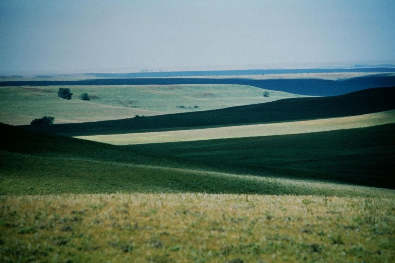
The vastness of the Tallgrass Prairie can only be seen to fully appreciate its grandeur. As the last large contiguous remnant of tallgrass prairie on earth, the Flint Hills Tallgrass Prairie offers an unspoiled landscape of serene natural beauty.
Flint Hills Scenic Byway

The Vast Tallgrass Prairie in the Flint Hills

Public Domain. Photo by Mike Blair, Kansas Department of Wildlife and Parks
Source & rights record ↗
Display changes: resized; some frames crop the image.
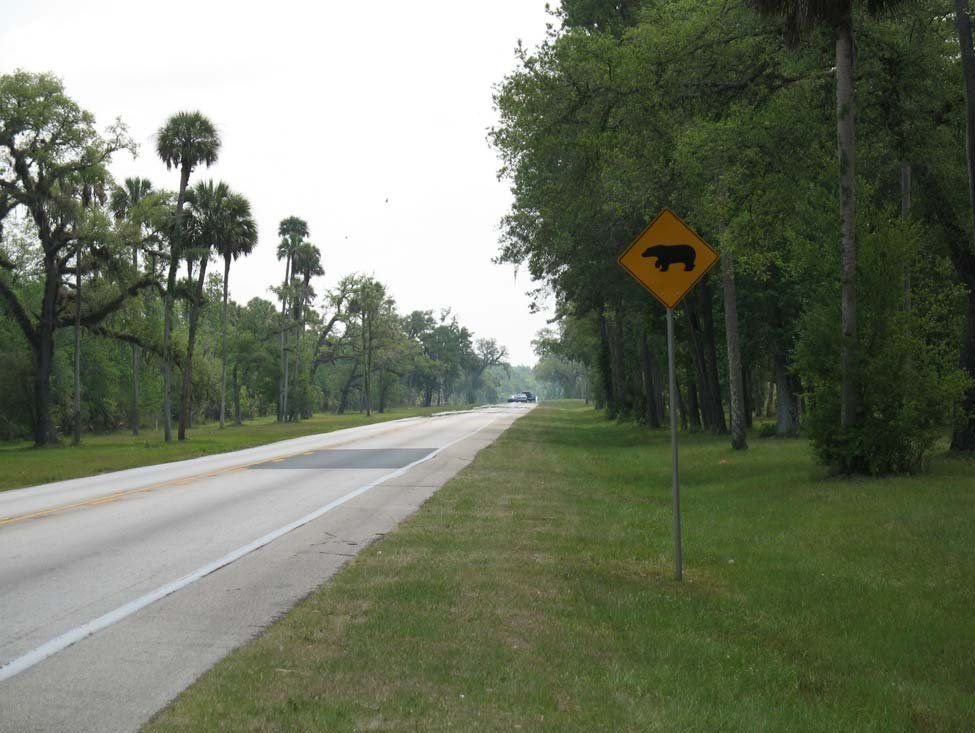
The roadway of the Florida Black Bear Scenic Byway is flanked by cabbage palms and oak trees. The left side of the road is land belonging to the Marjorie Harris Carr Cross Florida Greenway, and the right side of the road are lands of the Silver River State Park. A sign with the silhouette of a black bear warns motorist to be cautious of bears on the roadway.
Florida Black Bear Scenic Byway

Florida Greenway and Silver River State Park

Public Domain.
Source & rights record ↗
Display changes: resized; some frames crop the image.
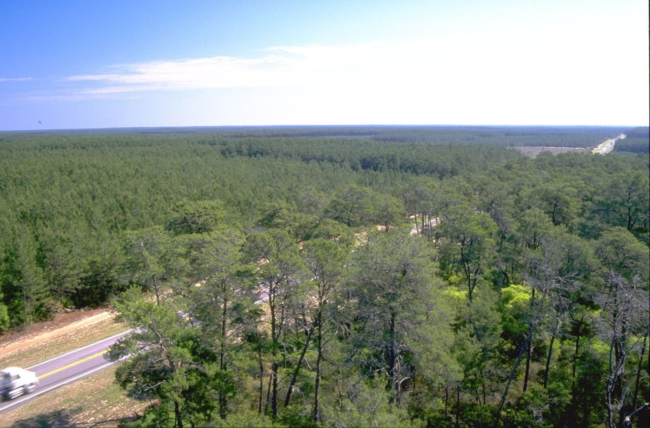
The Florida Black Bear Scenic Byway passes through unbroken miles of sand pine and xeric oak forest, some of the rarest natural habitat in North America. The photograph was taken from atop the historic Central Fire Tower, and gives a birds eye view of the highway and forest.
Florida Black Bear Scenic Byway

The Florida Black Bear Scenic Byway in the Ocala National Forest

Public Domain. Photo by USDA Forest Service
Source & rights record ↗
Display changes: resized; some frames crop the image.
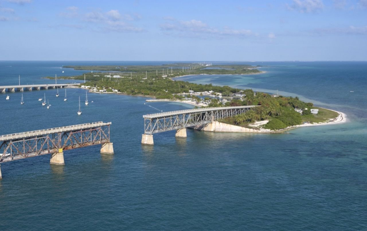
The aerial view of Bahia Honda State Park, FL, reveals the span of white, sandy beach on the Atlantic side-winding around the historic railroad bridge and sailboats moored into the bay, with the modern Florida Keys Scenic Byway and the Gulf of Mexico to the north.
Florida Keys Scenic Highway

Bahia Honda State Park

Public Domain.
Source & rights record ↗
Display changes: resized; some frames crop the image.
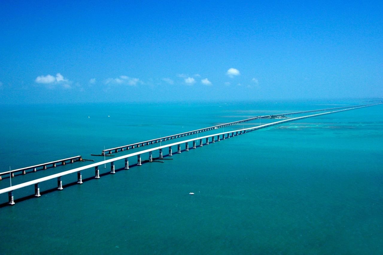
Seeming to converge in the distance, the Seven-mile Bridge on the Florida Keys Scenic Highway west of Marathon, FL, runs parallel to the historic Flagler railroad bridge of the early 1900s with the Atlantic Ocean to the South and the Gulf of Mexico to the North.
Florida Keys Scenic Highway

The Seven-mile Bridge in the Florida Keys

Public Domain.
Source & rights record ↗
Display changes: resized; some frames crop the image.
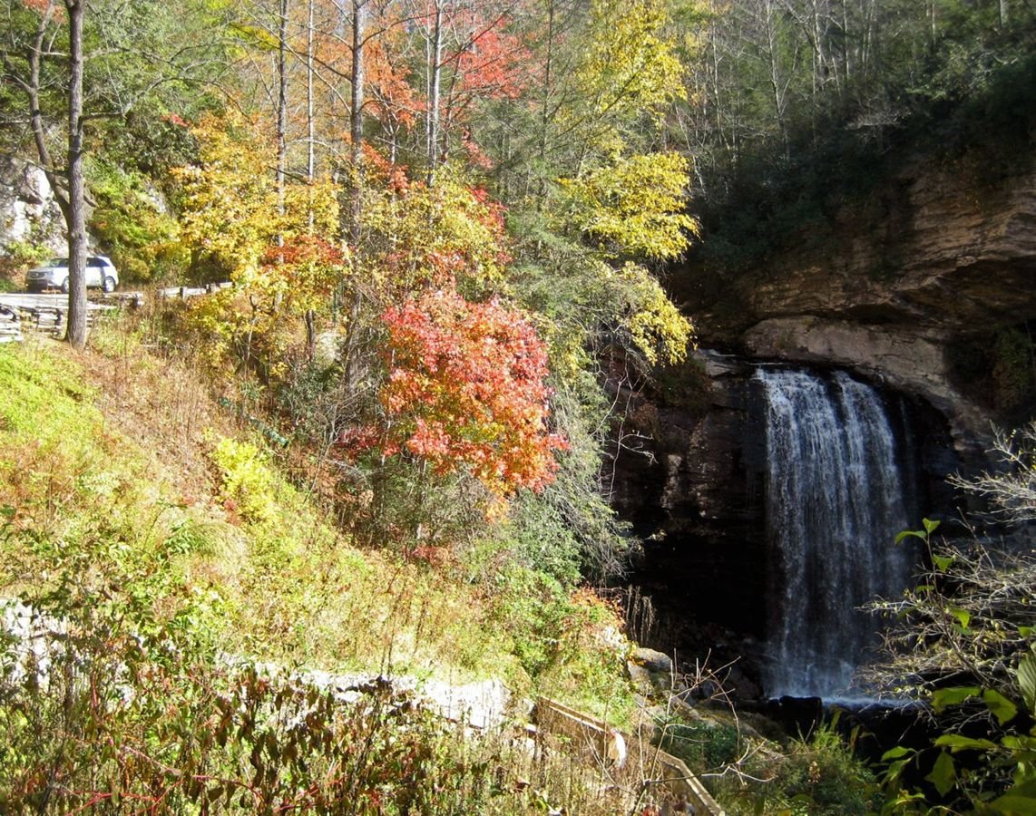
Amidst colorful autumn leaves, a vehicle travels along the Forest Heritage Scenic Byway next to Looking Glass Falls, a 30-foot wide, 60-foot high waterfall. The route of the byway was originally a logging railroad route used to transport timber to a nearby sawmill.
Forest Heritage National Scenic Byway

Colorful Autumn Leaves at Looking Glass Falls

Public Domain.
Source & rights record ↗
Display changes: resized; some frames crop the image.

As shown in this aerial photograph, the area around the Forest Heritage National Scenic Byway was farmed during early community settlement.
Forest Heritage National Scenic Byway

Davidson River Farmland

Public Domain.
Source & rights record ↗
Display changes: resized; some frames crop the image.
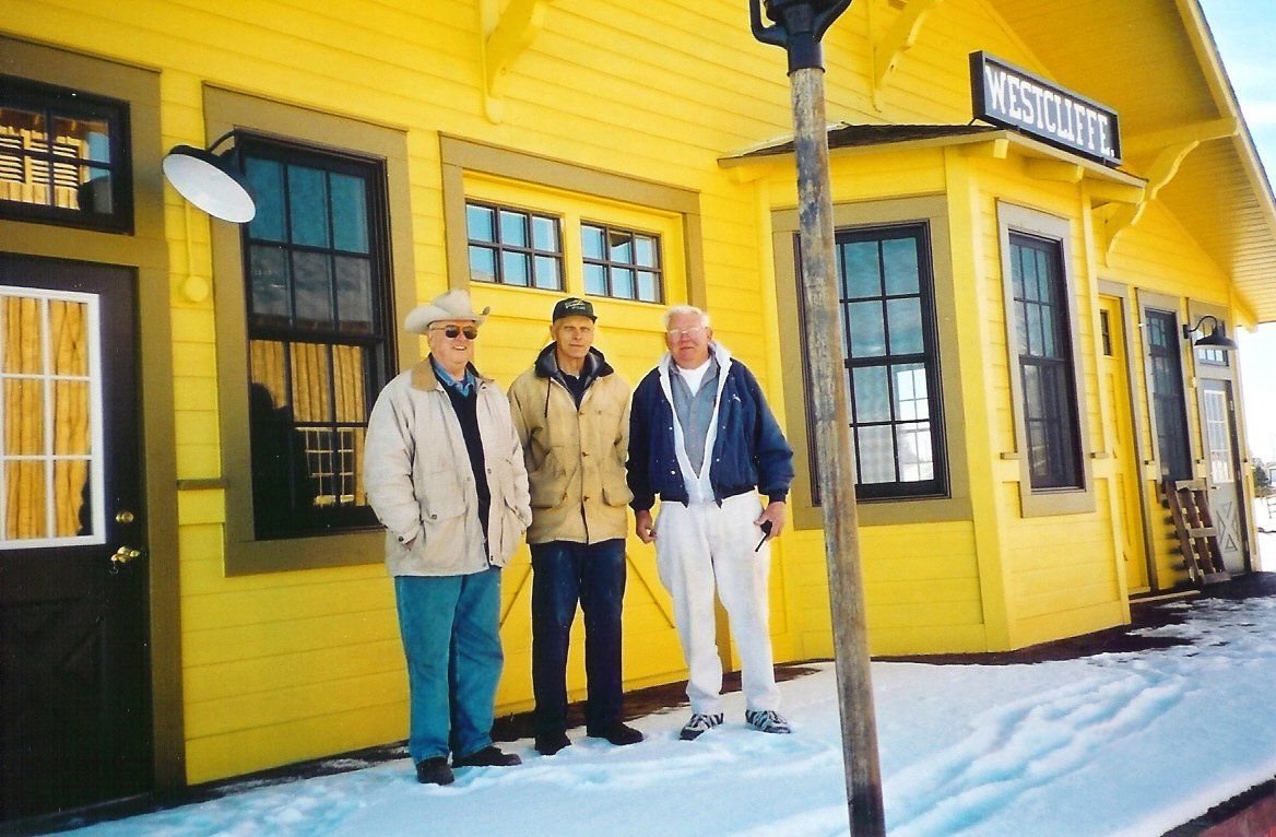
A group poses in front of the Westcliffe Information Center, which serves as a visitor and interpretive center, focusing on the Byway’s railroad history.
Frontier Pathways Scenic and Historic Byway

Group at Westcliffe Information Center

Public Domain. Photo by Sally Pearce
Source & rights record ↗
Display changes: resized; some frames crop the image.

Entering the valley on State Highway 96, the Sangre de Cristo Mountains come into view. Westcliffe sits at the end of the highway.
Frontier Pathways Scenic and Historic Byway

Sangre de Cristos Along Highway 96

Public Domain. Photo by Sally Pearce
Source & rights record ↗
Display changes: resized; some frames crop the image.
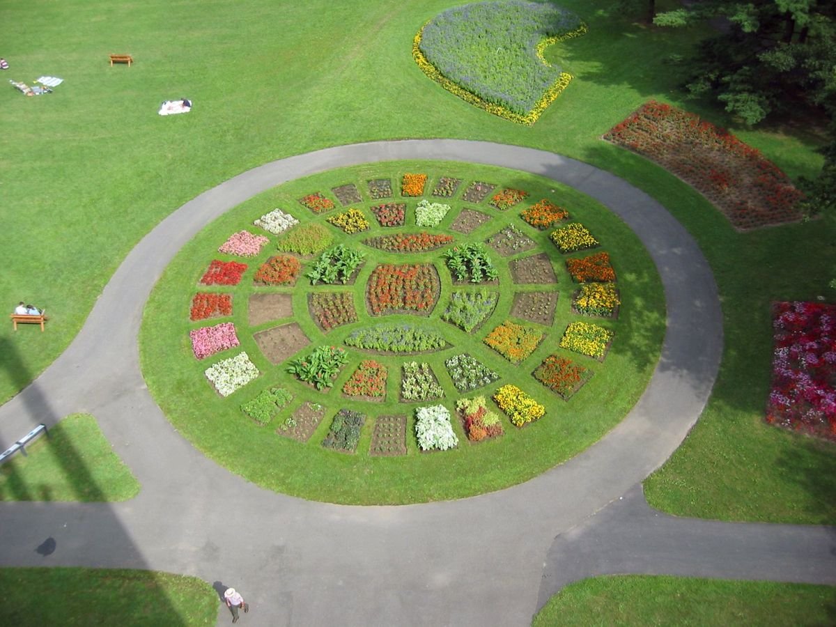
The carillon tower rises 127 feet high and sits on a commanding hillside overlooking the banks of the Potomac River and across to the monuments and skyline of Washington, DC. This photo shows the formally arranged flower garden below the Netherlands Carillon.
George Washington Memorial Parkway

Flowers Below Netherlands Carillon

Public Domain. Photo by Catie Drew
Source & rights record ↗
Display changes: resized; some frames crop the image.
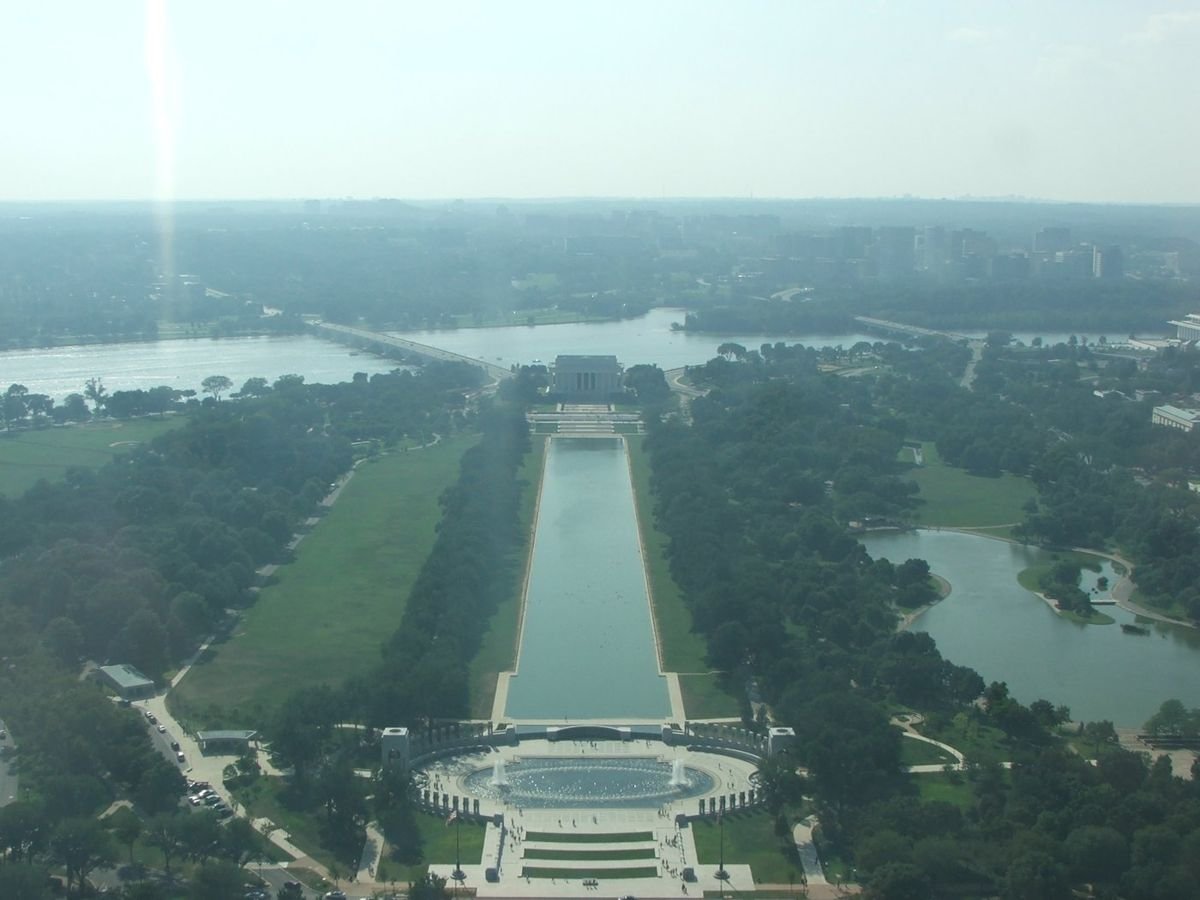
High up inside the Washington Monument you can see the World War II Memorial, the Reflection Pool, the Lincoln Memorial, and the Potomac River.
George Washington Memorial Parkway

View from Washington Monument

Public Domain. Photo by Amy Davis
Source & rights record ↗
Display changes: resized; some frames crop the image.
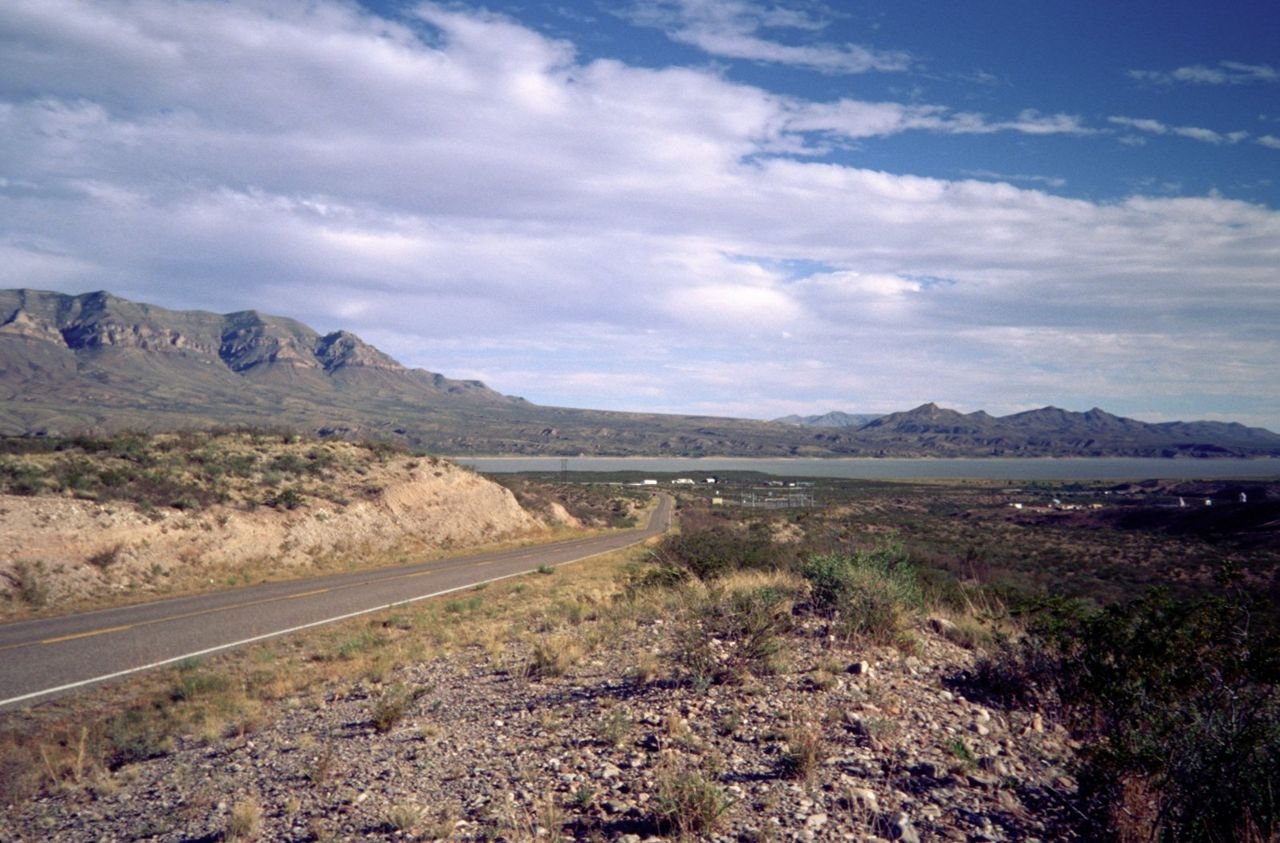
The impressive Caballo Mountains tower over Caballo Lake and the Rio Grande valley, and are a landmark that can be seen for miles.
Geronimo Trail Scenic Byway

Caballo Mountains Overlooking Caballo Lake

Public Domain. Photo by Miller Photography Studio
Source & rights record ↗
Display changes: resized; some frames crop the image.
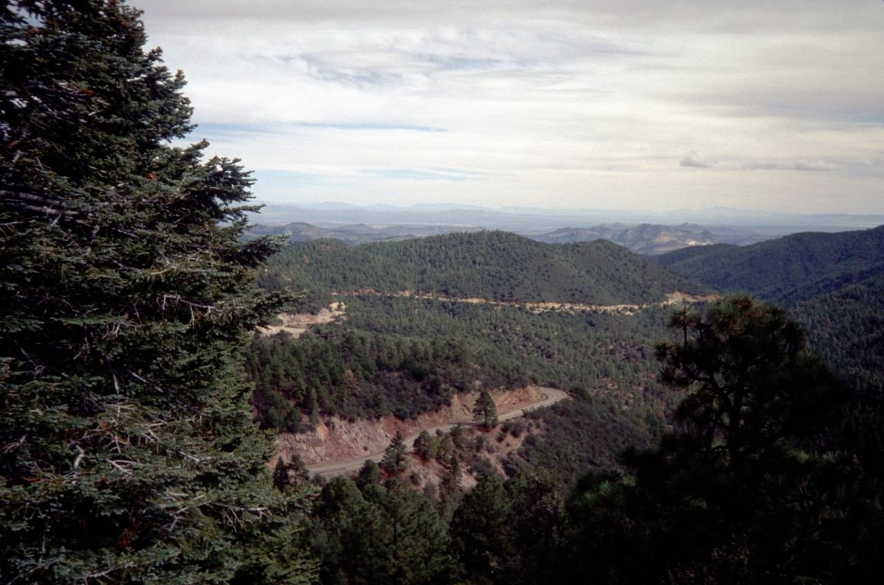
The scenic drive across the Black Range Mountains on NM 152 provides spectacular views of the majestic mountains.
Geronimo Trail Scenic Byway

Scenic Black Range Drive

Public Domain. Photo by Miller Photography Studio
Source & rights record ↗
Display changes: resized; some frames crop the image.

About 30 interested residents from the further reaches of the byway attended an October 2001 public meeting at Sheep Mountain Lodge to learn more about the National Scenic Byways Program, its benefits and impacts.
Glenn Highway

Sheep Mountain Public Meeting

Public Domain. Courtesy of Land Design North
Source & rights record ↗
Display changes: resized; some frames crop the image.
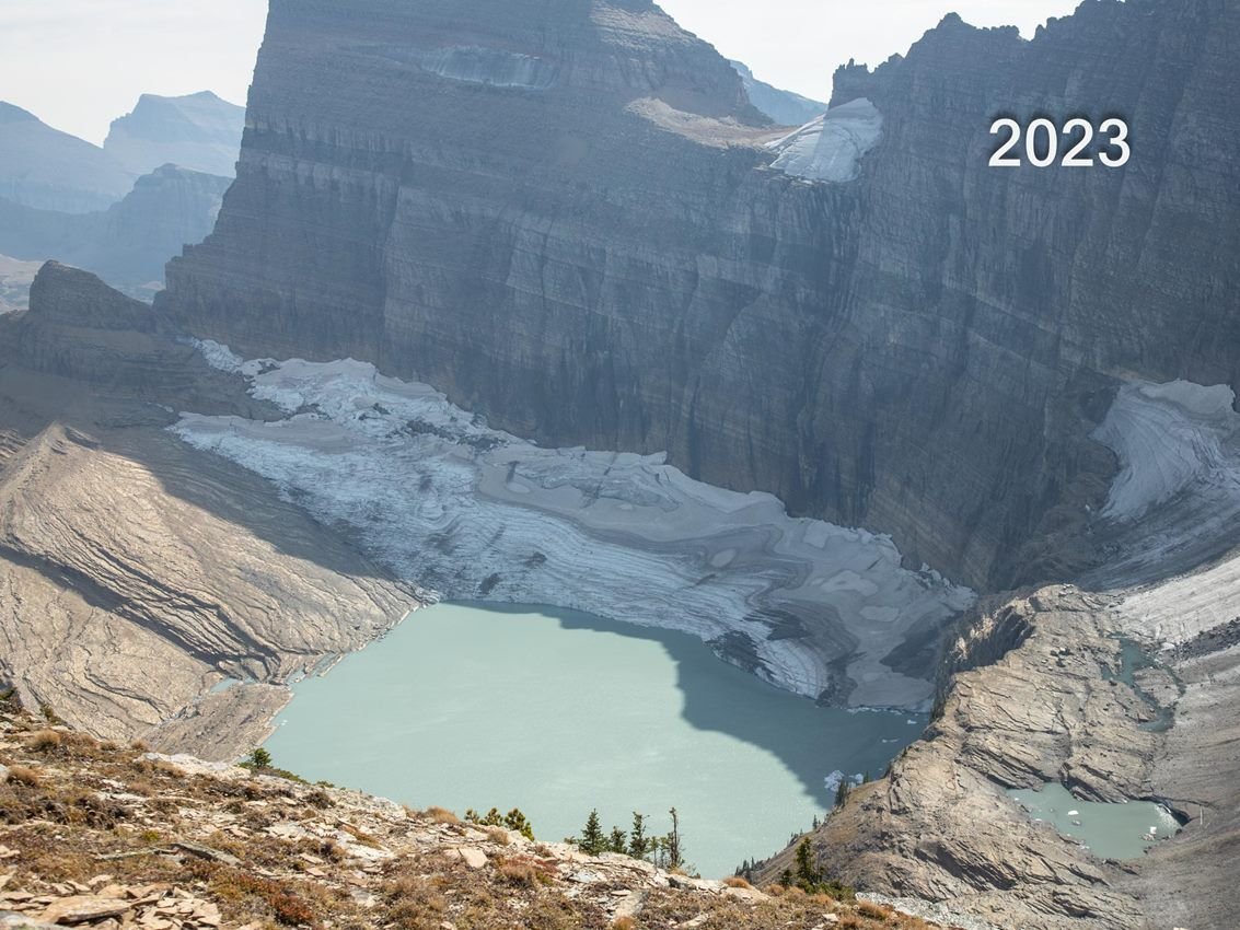
Grinnell Glacier from Lower Grinnell Ridge in 2023
Going-to-the-Sun Road

Glacier National Park

NPS · Public domain, NPS
Source & rights record ↗
Display changes: resized; some frames crop the image.
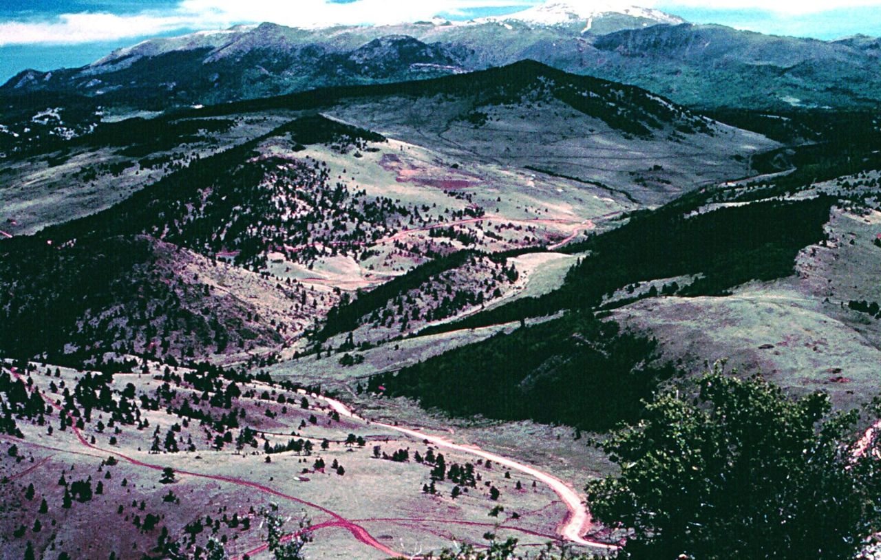
High Park Road traverses scenic mountain parklands that have been cattle ranching country for more than 150 years. High Park Road offers impressive views of the surrounding mountain ranges and Pikes Peak.
Gold Belt Tour Scenic and Historic Byway

High Park Road

Public Domain. Courtesy of the Bureau of Land Management
Source & rights record ↗
Display changes: resized; some frames crop the image.
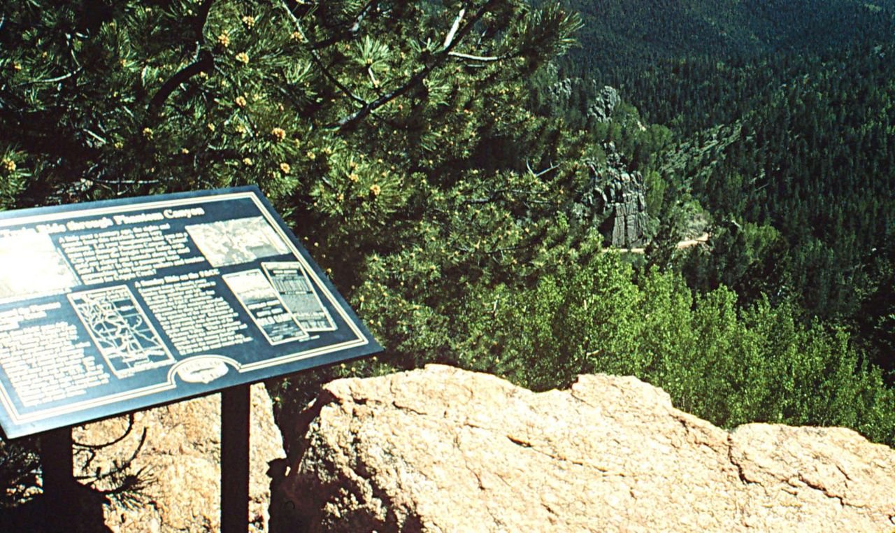
The Wilbur Loop was the name given to the segment of tracks that climbed 400 feet up steep switchbacks out of Phantom Canyon. Today, an overlook at the top of the loop provides a birds-eye view of Phantom Canyon.
Gold Belt Tour Scenic and Historic Byway

Wilbur Loop Scenic Overlook

Public Domain. Courtesy of the Bureau of Land Management
Source & rights record ↗
Display changes: resized; some frames crop the image.
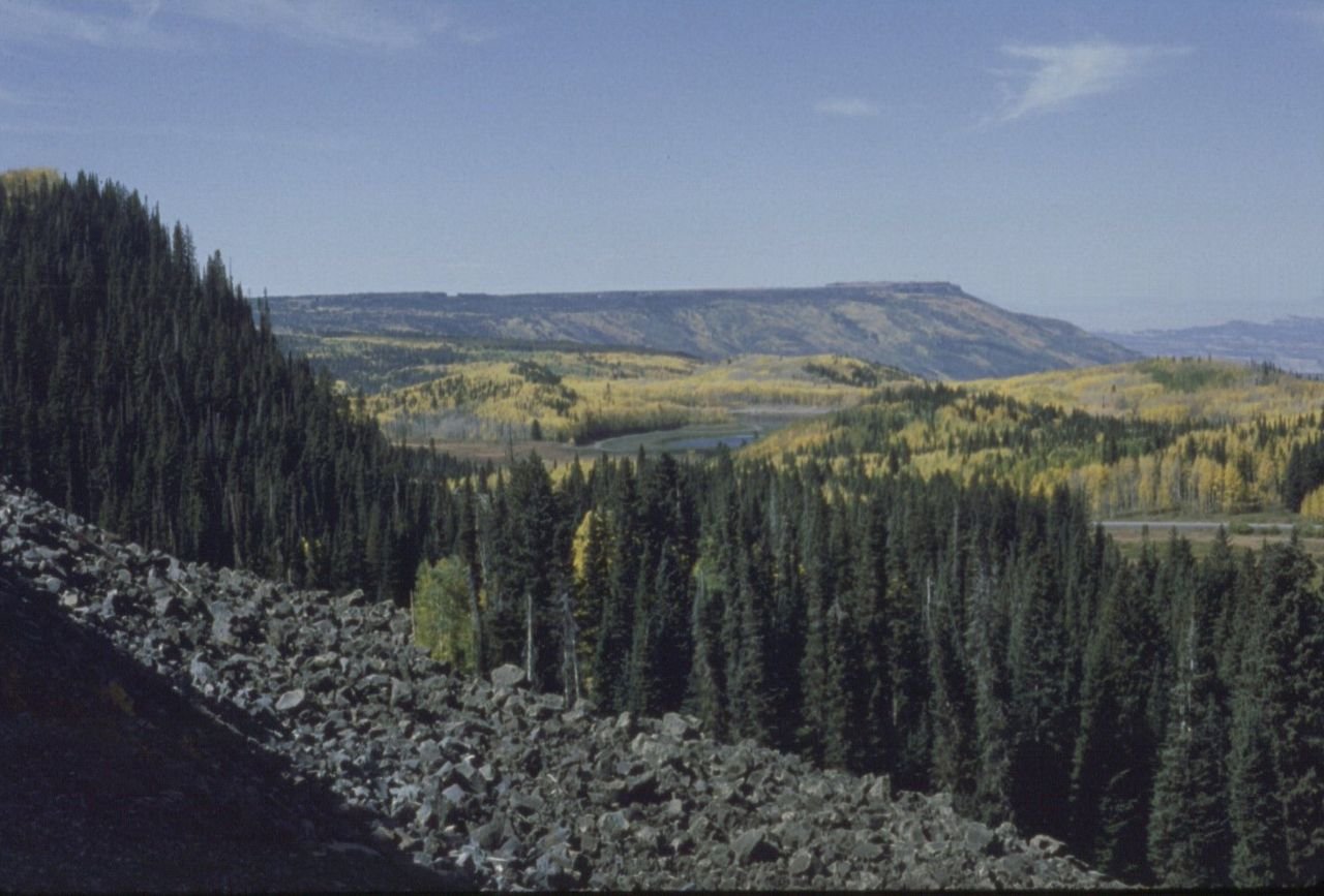
Atop the Grand Mesa, this view looks northwest toward the lakes.
Grand Mesa Scenic and Historic Byway

View from the Top of Grand Mesa

Public Domain. Photo by Sally Pearce
Source & rights record ↗
Display changes: resized; some frames crop the image.
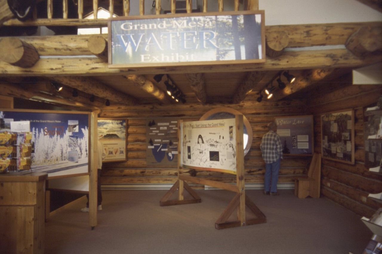
The water exhibit, located in the Grand Mesa Visitor Center on top of the Grand Mesa, was developed under a grant in 1997.
Grand Mesa Scenic and Historic Byway

Water Exhibit in Grand Mesa Visitor Center

Public Domain. Photo by Sally Pearce
Source & rights record ↗
Display changes: resized; some frames crop the image.
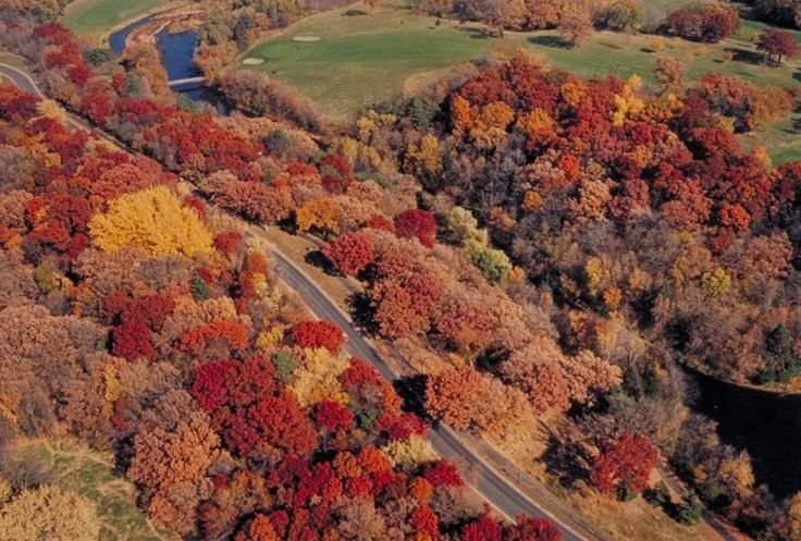
An aerial view taken from above Wirth Golf Course shows the Grand Rounds Scenic Byway surrounded by rich reds and golds.
Grand Rounds Scenic Byway

Aerial View with Fall Foliage

Public Domain. Photo by Dennis Adams
Source & rights record ↗
Display changes: resized; some frames crop the image.
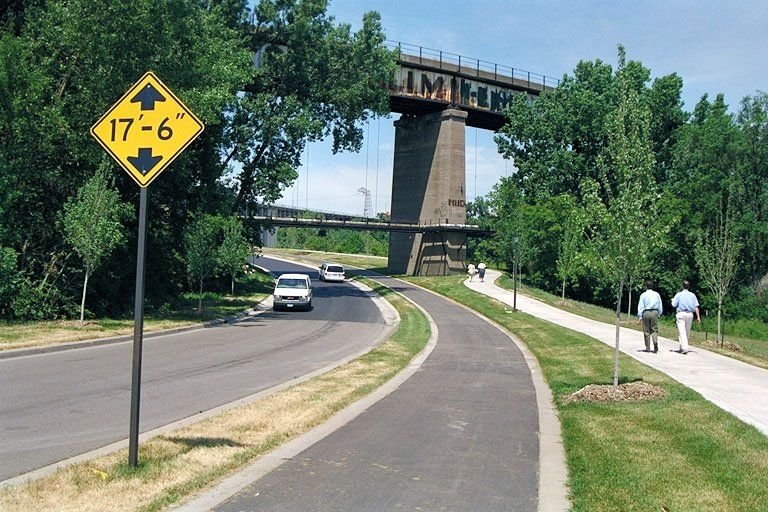
The Byway road opposite the University of Minnesota bridge is also used as a bike trail route.
Grand Rounds Scenic Byway

Bike Route on the Grand Rounds

Public Domain. Photo by Dennis Adams
Source & rights record ↗
Display changes: resized; some frames crop the image.
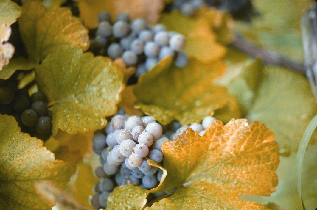
The microclimate along the shore of Lake Erie allows the region to produce the most Concord grapes in the world.  The area is home to numerous vineyards and the Welch's corporation.
Great Lakes Seaway Trail

Lake Erie's Grapes

Public Domain.
Source & rights record ↗
Display changes: resized; some frames crop the image.

Craggy bluffs overlook the Great River Road in Wisconsin.
Great River Road

Bluffs Over Scenic Overlook on Lake Pepin

Public Domain. Photo by S. Clyde
Source & rights record ↗
Display changes: resized; some frames crop the image.
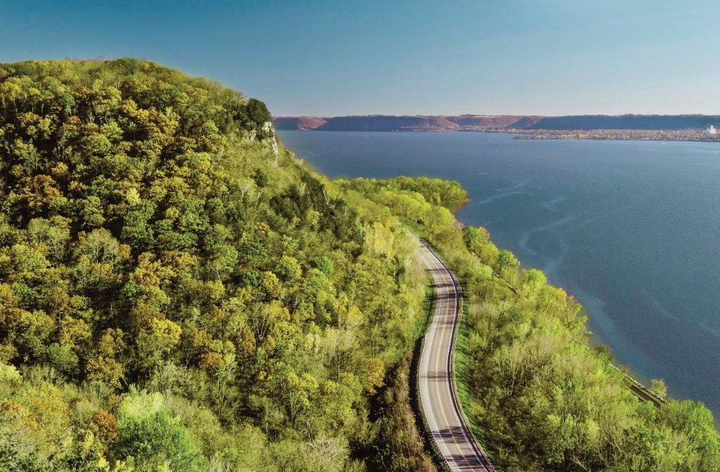
Breathtaking panoramic view from the towering bluff top overlooking the Wisconsin Great River Road to see the mighty Mississippi River and valley for miles looking North, South and West.
Great River Road

WI Great River Road Bluff to Road To River

Public Domain. Jay Olson-Goude
Source & rights record ↗
Display changes: resized; some frames crop the image.
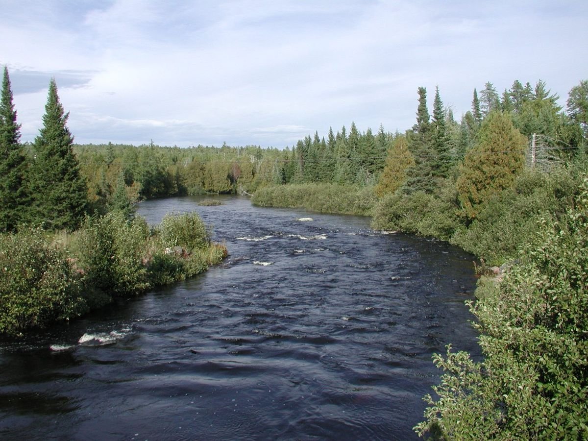
The North Brule River in high water flows between alder and spruce trees on its bank. A series of shallow rapids form ripples on the river.
Gunflint Trail Scenic Byway

North Brule River

Public Domain. Photo by Sue Weber
Source & rights record ↗
Display changes: resized; some frames crop the image.
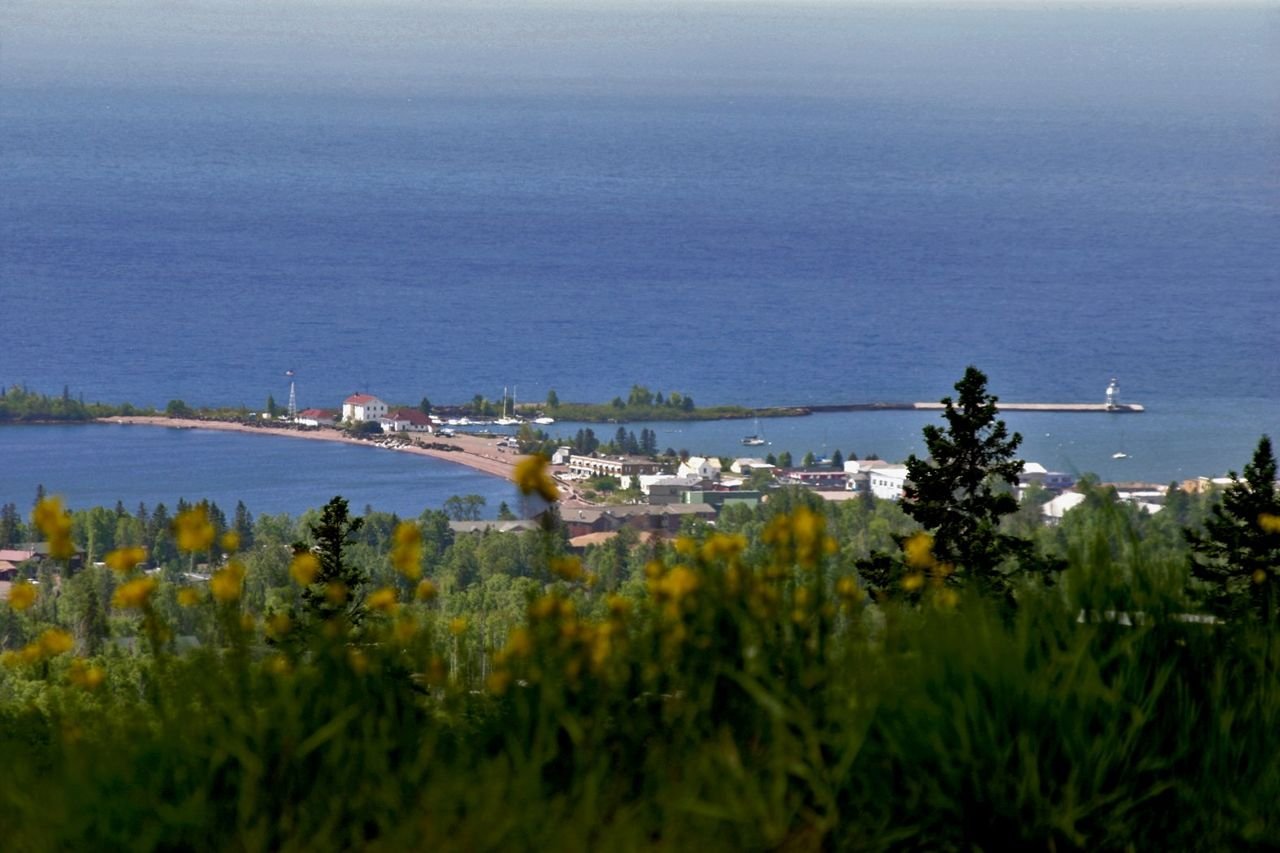
The small town of Grand Marais (population 1100) lies 1000 feet below this overlook perched on a steep hillside. The natural and man-made breakwaters and two lighthouses of Grand Marais gracefully embrace the entrance to the harbor. The deep blue of Lake Superior makes up the background.
Gunflint Trail Scenic Byway

View of Grand Marais from Sawtooth Mountain Ridgeline

Public Domain. Photo by Dennis O'Hara, courtesy of Grand Marais Area Tourism Association
Source & rights record ↗
Display changes: resized; some frames crop the image.
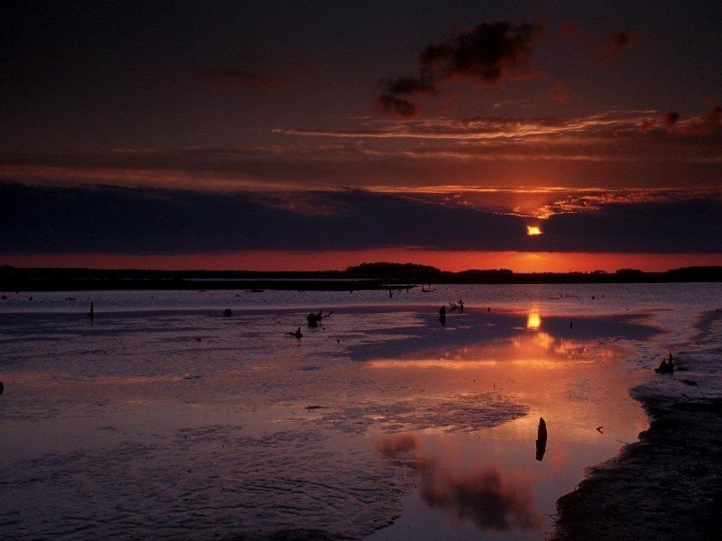
A dark, cloud-tainted sunset over the mysterious waters of the Blackwater National Wildlife Refuge evokes a feeling of isolation similar to what someone trying to traverse the landscape at nightfall might feel.
Harriet Tubman Underground Railroad Byway

A Foreboding Sunset over Blackwater National Wildlife Refuge

Public Domain. Photo Courtesy of Dorchester County Tourism
Source & rights record ↗
Display changes: resized; some frames crop the image.
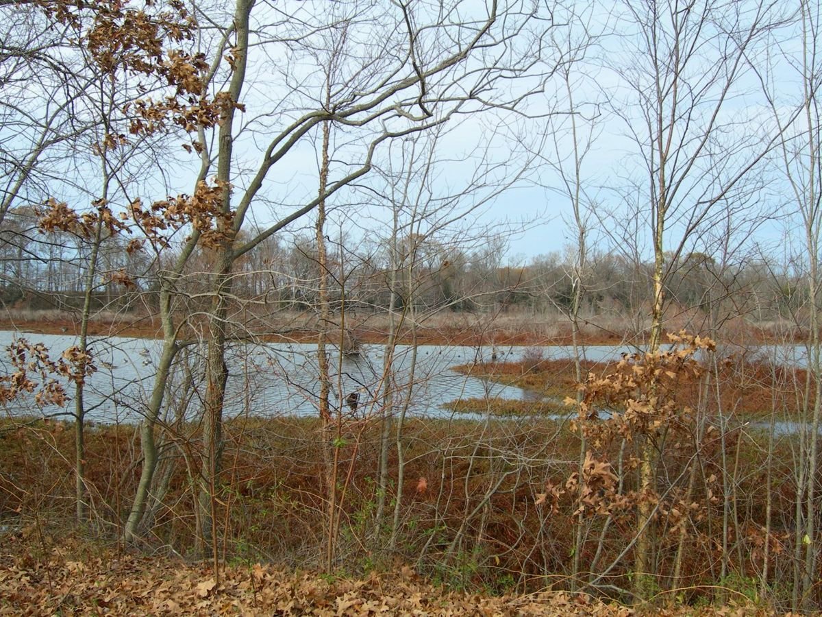
Fallen leaves grace the river bank scene along the Harriet Tubman Underground Railroad Byway.
Harriet Tubman Underground Railroad Byway

An Autumn-draped Tuckahoe Crossing

Public Domain. Photo by Kathleen Mackel
Source & rights record ↗
Display changes: resized; some frames crop the image.

A snowmobiler maneuvers at high speed through deep powder near Hells Canyon Scenic Byway.
Hells Canyon Scenic Byway

Open-throttle Riding in Oregon

Public Domain.
Source & rights record ↗
Display changes: resized; some frames crop the image.
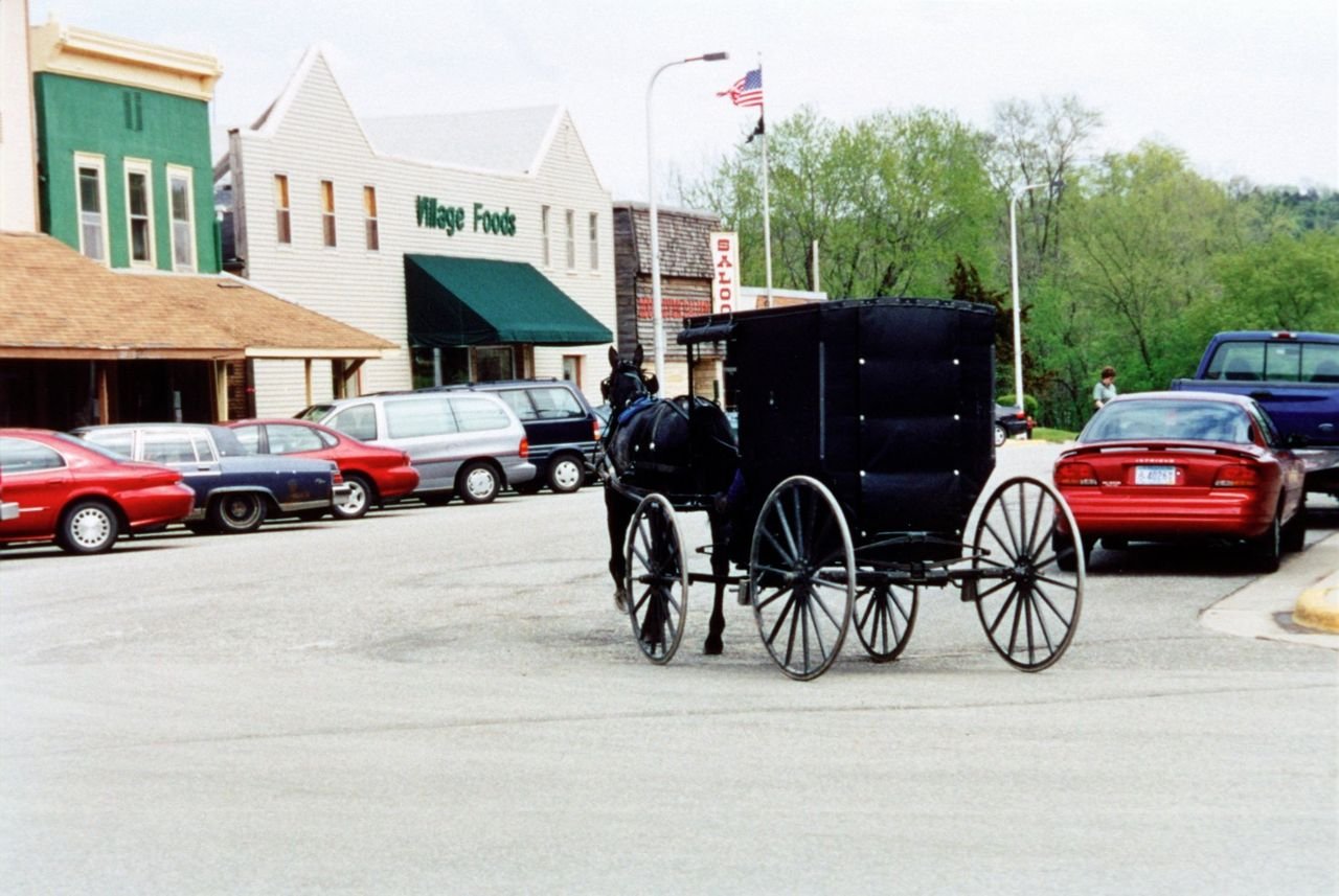
The Byway corridor includes a large community of Old Order Amish, who demonstrate a unique lifestyle and are often seen on the highways and in the communities, especially Harmony, Preston, Lanesboro, and Canton.
Historic Bluff Country Scenic Byway

Amish Buggy

Public Domain.
Source & rights record ↗
Display changes: resized; some frames crop the image.
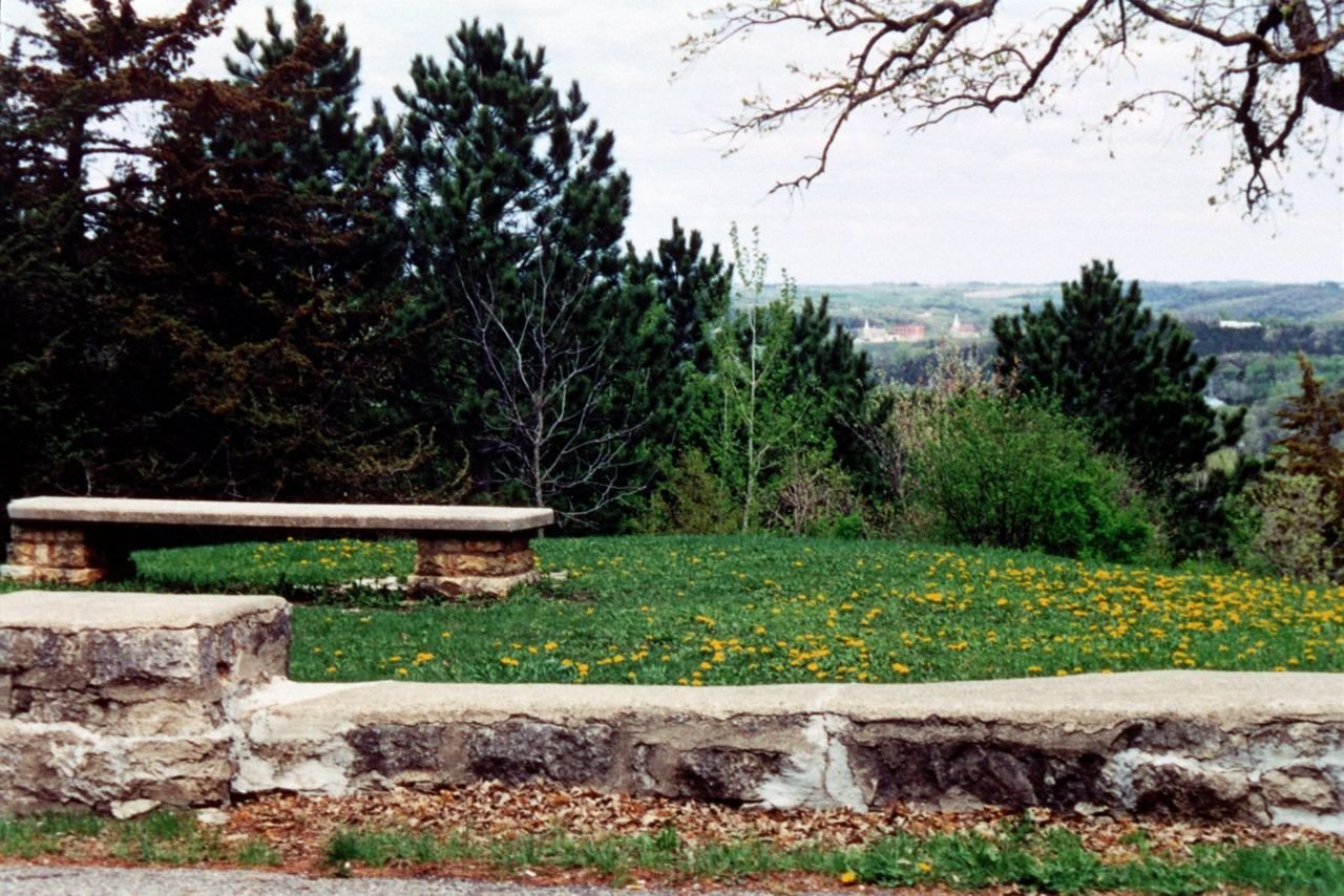
Built by the WPA, Inspiration Point provides a place with tables and benches where travelers can stop and enjoy the sweeping vistas of farmland, bluffs, and river valley.
Historic Bluff Country Scenic Byway

Inspiration Point Near Lanesboro

Public Domain.
Source & rights record ↗
Display changes: resized; some frames crop the image.
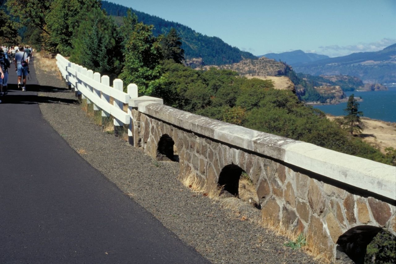
The old wooden roadside railings conjoin the restored and original stone roadside railings on this section of the Historic Columbia River Highway
Historic Columbia River Highway

Wood and Stone Railings on the Highway

Public Domain. Photo by Dennis Adams
Source & rights record ↗
Display changes: resized; some frames crop the image.
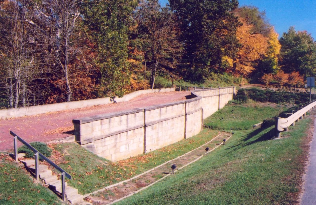
The Fox Run S-Bridge has been resurfaced with red bricks. It represents an original portion of the Historic National Road.
Historic National Road

Fox Run S-Bridge

Public Domain. Photo by A. E. Crane
Source & rights record ↗
Display changes: resized; some frames crop the image.

A few people walk west near the Fox Run S-Bridge on the original alignment of the National Road in Ohio.
Historic National Road

Near the Fox Run Bridge on the National Road

Public Domain. Photo by A. E. Crane
Source & rights record ↗
Display changes: resized; some frames crop the image.
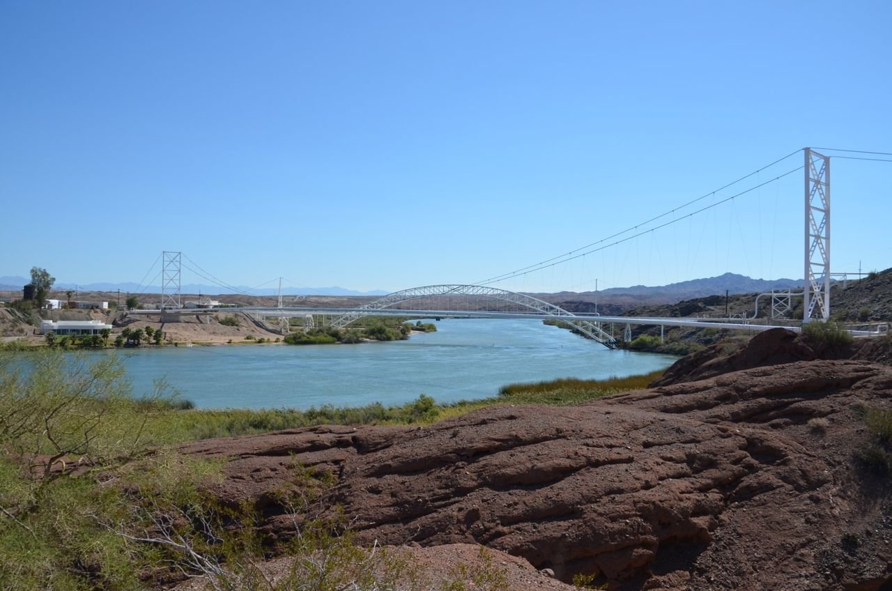
From a rocky knoll, the Colorado River gently flows downstream with the magnificent Trails Arch Bridge in the background. The River forms the natural boundary separating Arizona and California. Once on the
California side, Route 66 travelers could rest and prepare themselves for an incredible and dangerous journey. Looking forward a once-in-a-lifetime adventure on Route 66 across the desolate but beautiful Mojave Desert.
Looking back, the graceful, refreshing waters of the Colorado River.
Historic Route 66

Trails Arch Bridge

Public Domain.
Source & rights record ↗
Display changes: resized; some frames crop the image.
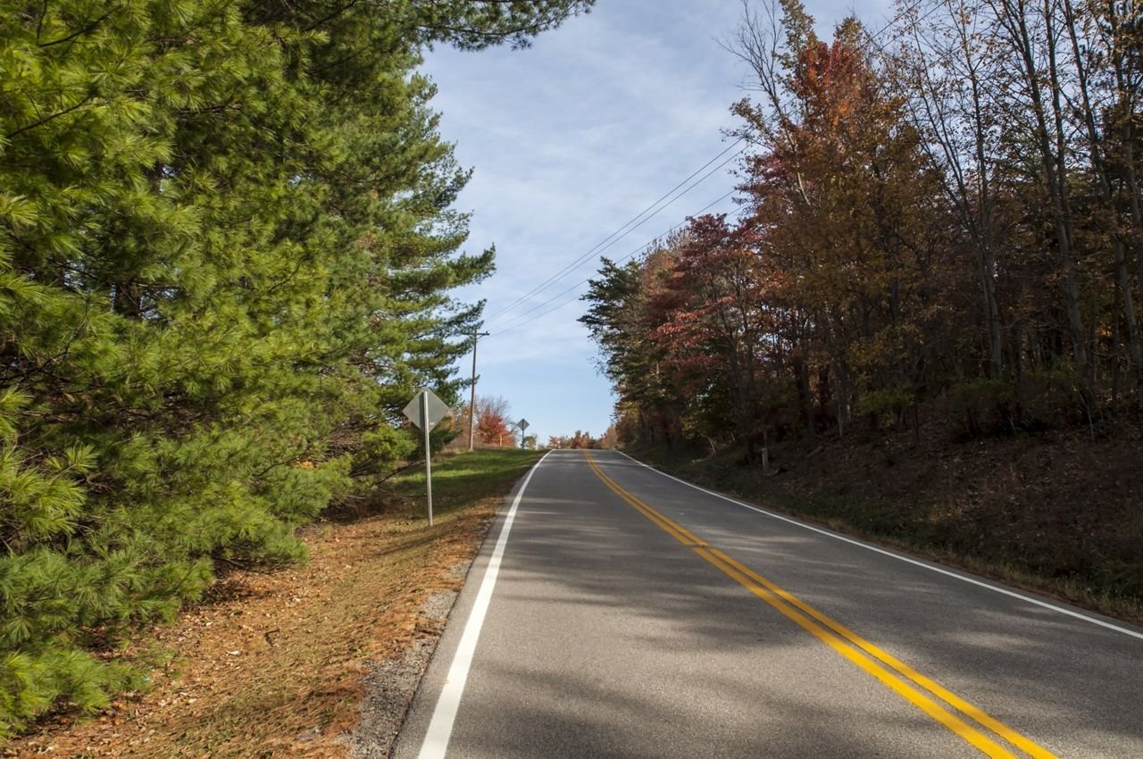
A road is shown with vividly green pines and colorful foliage of the hardwood trees while a road with shadows passes through them.
Hocking Hills Scenic Byway

Hocking Hills State Forest

Public Domain. Ohio Department of Transportation
Source & rights record ↗
Display changes: resized; some frames crop the image.
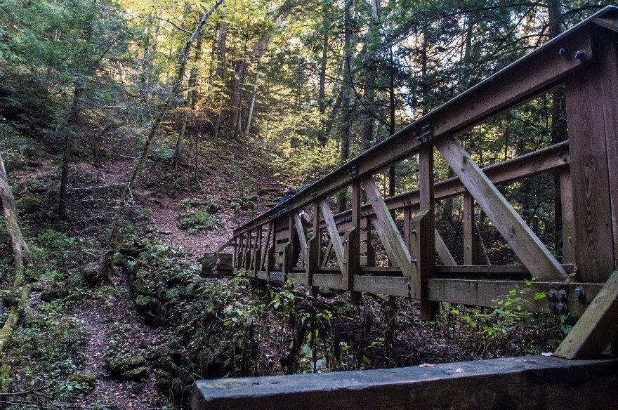
A wooden bridge extends over a small gorge and greenery and trees surround it.
Hocking Hills Scenic Byway

Rock House bridge

Public Domain. Ohio Department of Transportation
Source & rights record ↗
Display changes: resized; some frames crop the image.
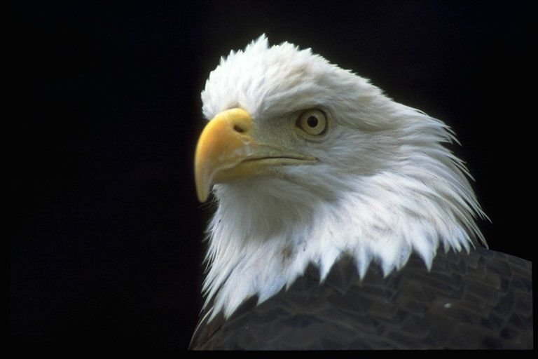
The symbol of the United States of America, the bald eagle can be seen in its natural habitat at the Wildlife Prairie State Park.
Illinois River Road

Stately Bald Eagle

Public Domain. Photo by Wildlife Prairie State Park
Source & rights record ↗
Display changes: resized; some frames crop the image.
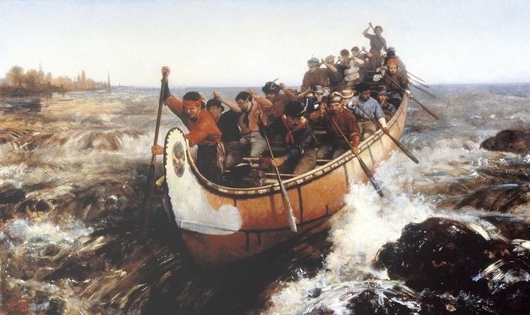
This painting by Frances Anne Hopkins (1838-1919) shows a large Montreal Canoe full of Voyageurs shooting some whitewater rapids.
Illinois River Road

Voyageurs in Montreal Canoe

Public Domain.
Source & rights record ↗
Display changes: resized; some frames crop the image.
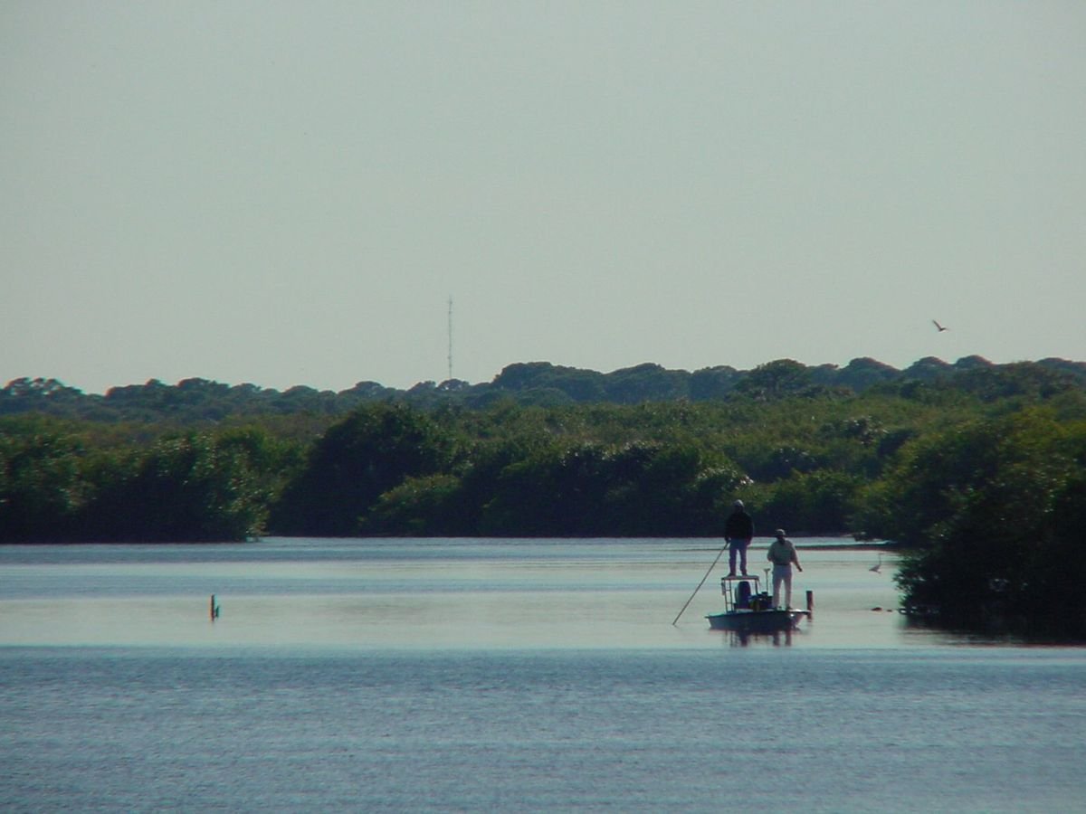
Men fish off a flat near the Indian River Lagoon National Scenic Byway.
Indian River Lagoon National Scenic Byway

Fishermen on the Flats

Public Domain. Photo by Stephen Chalmers
Source & rights record ↗
Display changes: resized; some frames crop the image.
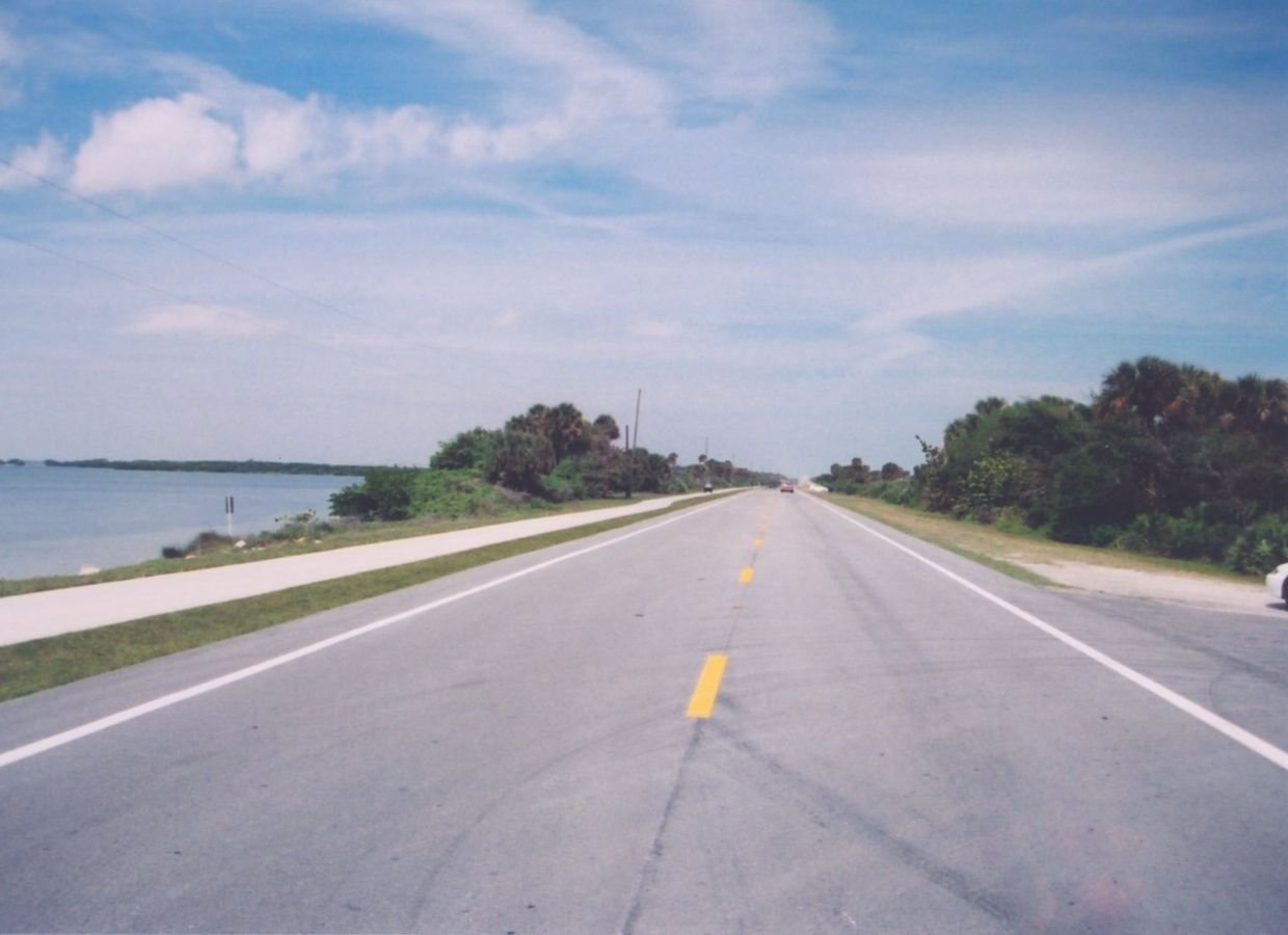
The Indian River Lagoon National Scenic Byway traverses a thin stretch of land, with the calm waters of the Indian River Lagoon to the east and the crashing breakers of the Atlantic Ocean to the west.
Indian River Lagoon National Scenic Byway

Indian River Lagoon National Scenic Byway

Public Domain. Photo by A. E. Crane
Source & rights record ↗
Display changes: resized; some frames crop the image.
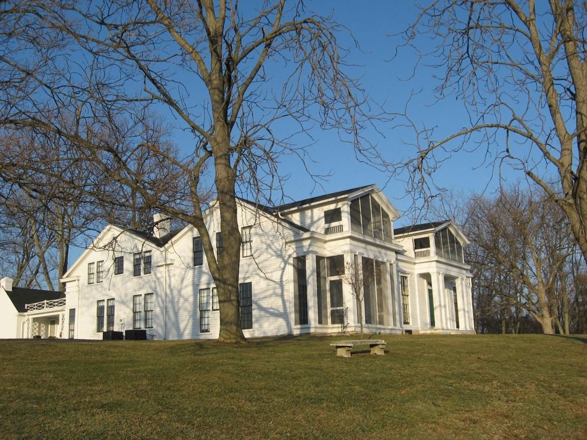
Sitting on a bluff overlooking the Ohio River, the Historic Home Veraestau is a large white house with screened-in porches on the front and is surrounded by skeletal, leafless trees.
Indiana's Historic Pathways

Historic Home Veraestau

Public Domain. Photograph by Historic Landmarks Foundation of Indiana
Source & rights record ↗
Display changes: resized; some frames crop the image.
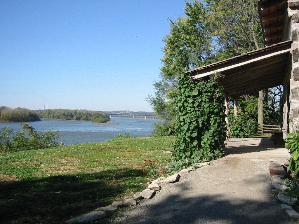
The waters of the Ohio River run blue, as seen from the vine-covered porch of the Clark replica cabin; in the distance the Louisville/New Albany bridge spans the river.
Indiana's Historic Pathways

The View From George Rogers Clark Cabin Homesite

Public Domain. Photograph by Historic Southern Indiana
Source & rights record ↗
Display changes: resized; some frames crop the image.
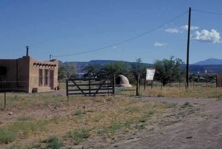
A dome shaped bread oven sits in the front yard of a small brick home.
Jemez Mountain Trail

Bread Oven By House on Jemez Mountain Trail Byway near San Ysidro

Public Domain. Photo by Dennis Adams of FHWA
Source & rights record ↗
Display changes: resized; some frames crop the image.

A visitor relaxes under the shade of a tree at the top of an overlook on the Jemez Mountain Trail in New Mexico.
Jemez Mountain Trail

Enjoyable Scenery on the Jemez Mountain Trail

Public Domain. Photo by Dennis Adams of FHWA
Source & rights record ↗
Display changes: resized; some frames crop the image.

Emmitsburg sprawls under the mountain amid a lovely New England landscape.
Journey Through Hallowed Ground Byway

Scenic Emmitsburg

Public Domain. Tourism Council of Frederick County, Inc
Source & rights record ↗
Display changes: resized; some frames crop the image.
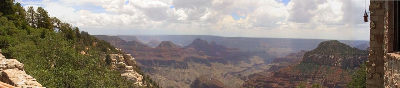
A panoramic camera tries to take in the immense view of the Grand Canyon from the Grand Canyon Lodge on the Kaibab Plateau-North Rim Parkway.
Kaibab Plateau-North Rim Parkway

A Wonder of the Natural World

Public Domain. Photo by S. Clyde
Source & rights record ↗
Display changes: resized; some frames crop the image.
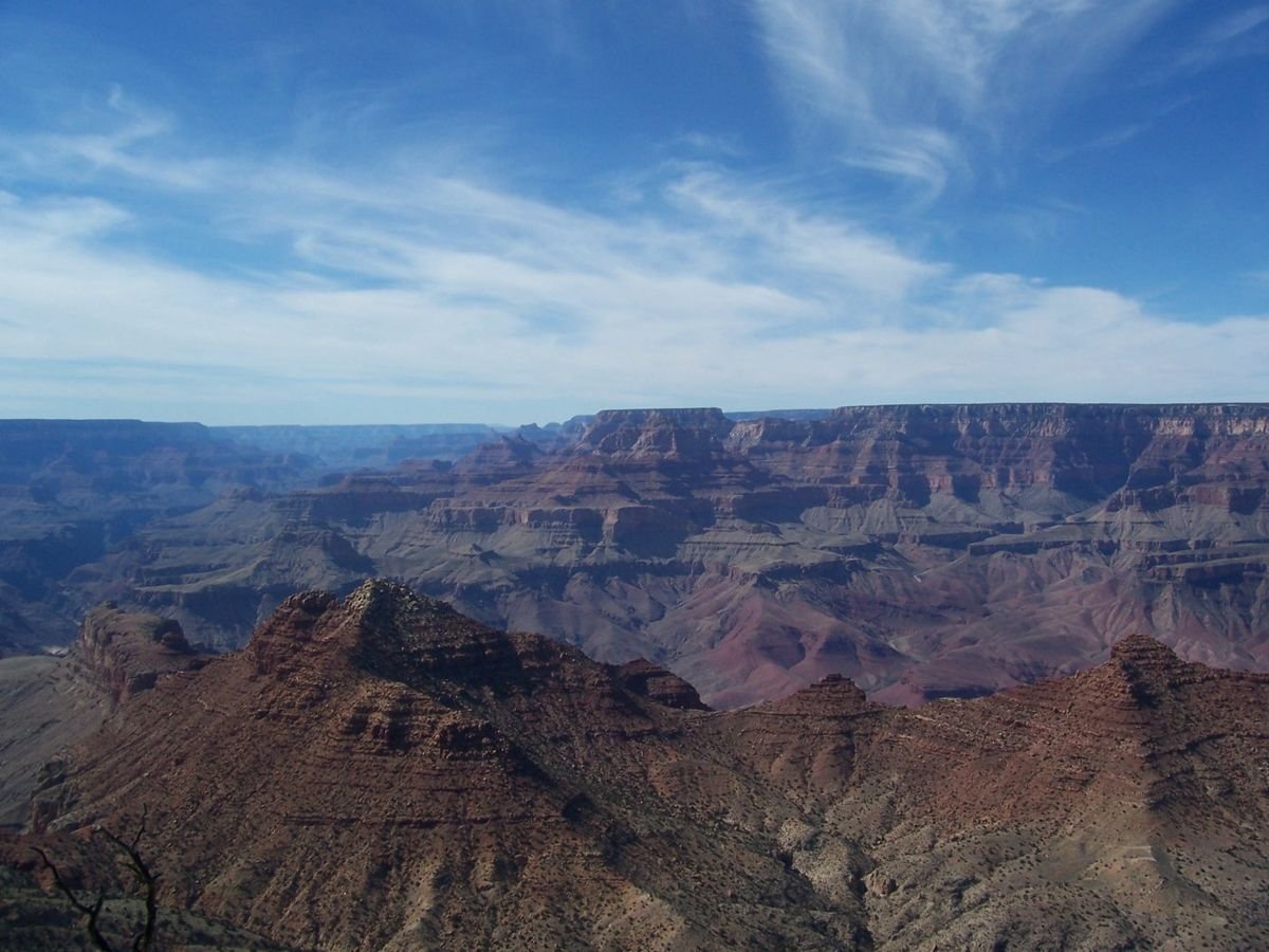
Majestic skies match the majesty of the Grand Canyon's cliffs and formations.
Kaibab Plateau-North Rim Parkway

Brilliant Skies and Cliffs

Public Domain.
Source & rights record ↗
Display changes: resized; some frames crop the image.
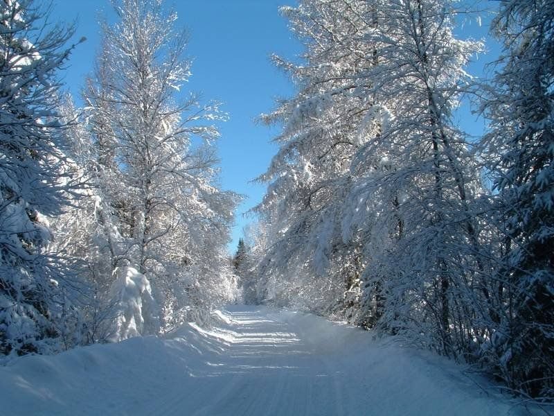
Snow cakes the road and frosts the trees in New Hampshire's White Mountain National Forest.
Kancamagus Scenic Byway

Cross-Country Ski Trail in the White Mountains

Public Domain. Photo by Roland Caron
Source & rights record ↗
Display changes: resized; some frames crop the image.

Crimson and gold trees cover the mountains and frame a winding road under a pure blue sky.
Kancamagus Scenic Byway

View of Flume Gorge

Public Domain. Photo courtesy of Ellen Edersheim/White Mountains Attractions
Source & rights record ↗
Display changes: resized; some frames crop the image.
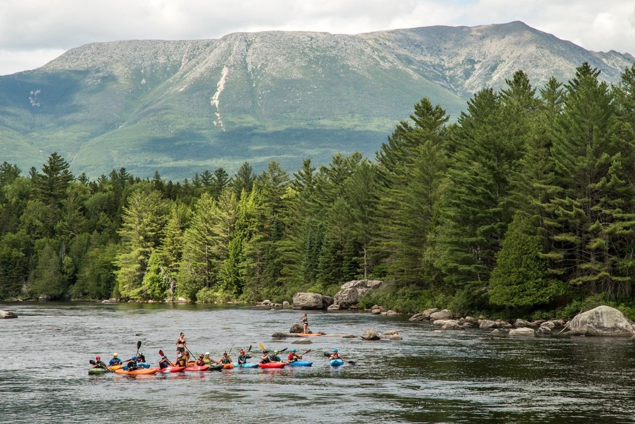
Kayakers and paddleboarders on the West Branch of the Penobscot River. Katahdin, Maine’s highest mountain, in background. Maine
Katahdin Woods & Waters Scenic Byway

F2a-Kayakers on West Branch of the Penobscot River

Public Domain. Russel Walters
Source & rights record ↗
Display changes: resized; some frames crop the image.
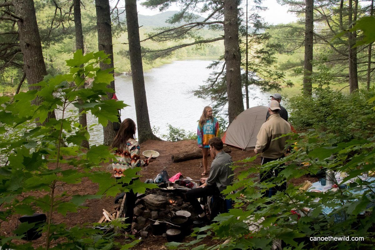
Campers cooking over a campfire. Tent visible on the site on a bluff overlooking the East Branch of the Penobscot River, Maine
Katahdin Woods & Waters Scenic Byway

F4b-East Branch Campers

Public Domain. Dave Conley/Canoe the Wild
Source & rights record ↗
Display changes: resized; some frames crop the image.
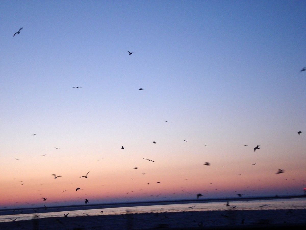
Birds off the coast of Lake Erie take flight at sunset on a clear day.
Lake Erie Coastal Ohio Trail

Sunset on Lake Erie

Public Domain. Photo by Katie Armstrong
Source & rights record ↗
Display changes: resized; some frames crop the image.
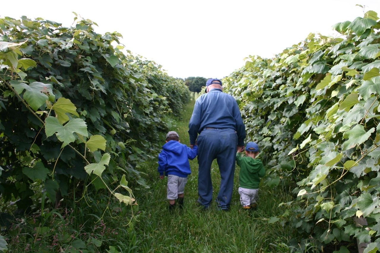
Two generations of grape growers take a stroll through some of the lush, green vineyards of the Lake Erie area.
Lake Erie Coastal Ohio Trail

Vineyard along the Lake Erie Coastal Trail

Public Domain.
Source & rights record ↗
Display changes: resized; some frames crop the image.
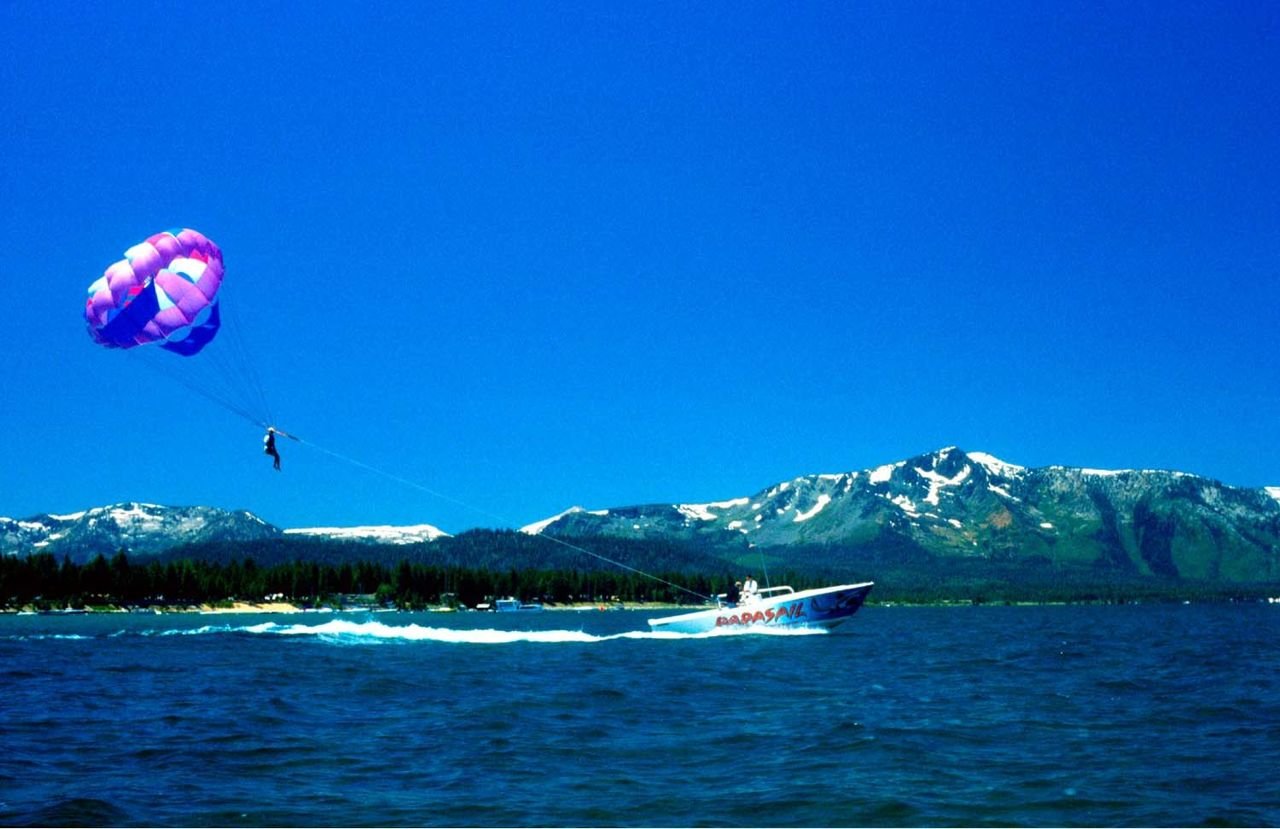
A parasailer rises over the choppy, deep-blue waters of Lake Tahoe behind a speed boat, which provides the sail with lift.
Lake Tahoe - Eastshore Drive

Parasailing High Above Lake Tahoe

Public Domain. Lake Tahoe Visitors Authority
Source & rights record ↗
Display changes: resized; some frames crop the image.
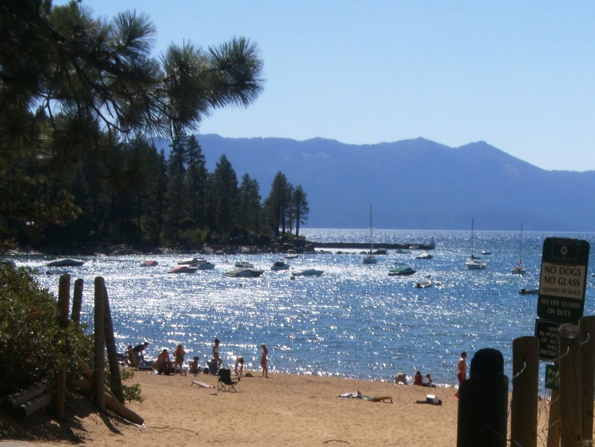
The clear blue water of Lake Tahoe sparkles under a cloudless sky. Lush evergreen trees line the beach. Across the lake you can see mountain silhouettes.
Lake Tahoe - Eastshore Drive

Sparking Waters of Zephyr Cove

Public Domain. Photo by Ronda Kingsford
Source & rights record ↗
Display changes: resized; some frames crop the image.
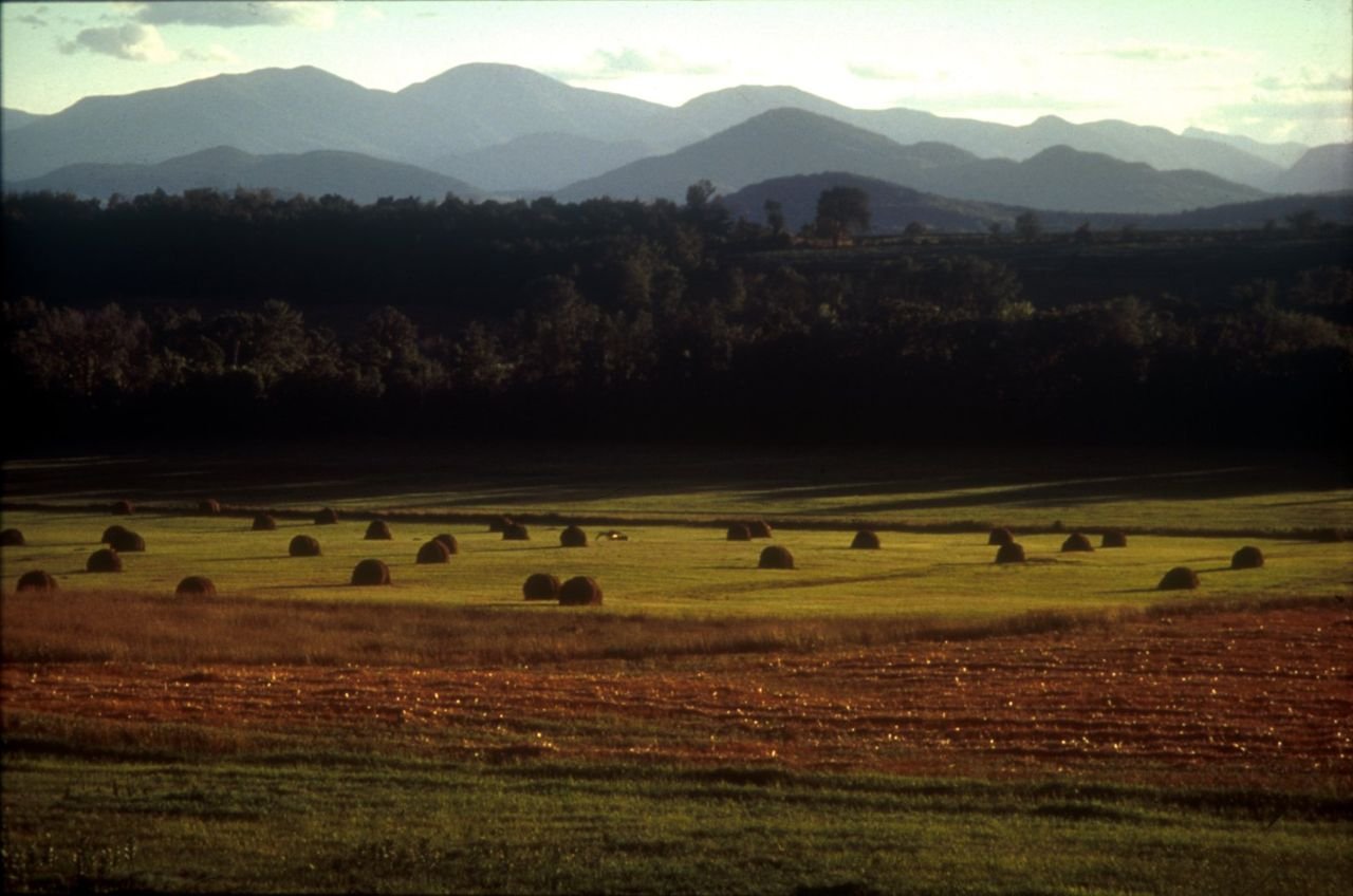
Working farmland in the Town of Essex. Farming and forestry shapes the landscape of Lakes to Locks Passage. Agriculture provides the ambiance of the small villages and hamlets throughout the region and maintains the scenic resources and quality of life that is enjoyed by all.
Lakes to Locks Passage

Working Farmland in Essex NY.

Public Domain. Photo by Gary Randorf
Source & rights record ↗
Display changes: resized; some frames crop the image.
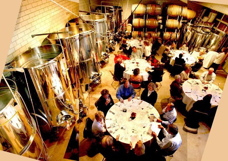
Guests savor delicious vintages in the cellar of Creekside Vineyards. They are surrounded by stainless steel tanks and stacked barrels.
Lariat Loop Scenic and Historic Byway

Guests Sipping Wine at Creekside Cellar

Public Domain. Photo Courtesy of Eliot Zizic of Creekside Cellars
Source & rights record ↗
Display changes: resized; some frames crop the image.
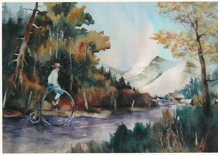
This painting is of Steve Stevens riding one of his vintage high-wheel bicycles.
Lariat Loop Scenic and Historic Byway

Painting of Steve on Old Bicycle

Public Domain. Courtesy of Steve Stevens
Source & rights record ↗
Display changes: resized; some frames crop the image.

Throngs of people move under the covered structure while the neon lights up the night at Fremont.
Las Vegas Strip

Fremont at Night

Public Domain. Las Vegas City Files
Source & rights record ↗
Display changes: resized; some frames crop the image.
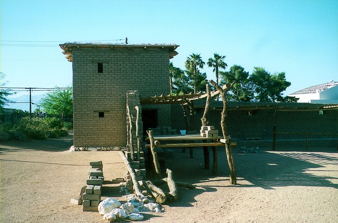
A bright blue sky overlooks the palm trees in the distance at the site of Mormon Fort.  This is a re-created section of the 1850s original settlement that would later become the Las Vegas townsite. The Fort is now a State of Nevada Park.
Las Vegas Strip

Mormon Fort

Public Domain. Las Vegas City Files
Source & rights record ↗
Display changes: resized; some frames crop the image.
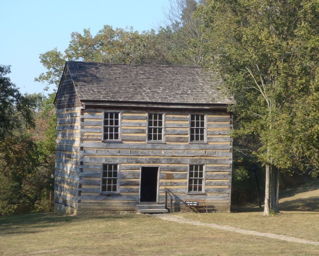
The Lincoln Homestead Cabin stands proudly among the Kentucky landscape, trees casting shadows on its wooden frame.
Lincoln Heritage Scenic Highway

Lincoln Homestead Cabin

Public Domain. Andy Nicol, TranSystem
Source & rights record ↗
Display changes: resized; some frames crop the image.
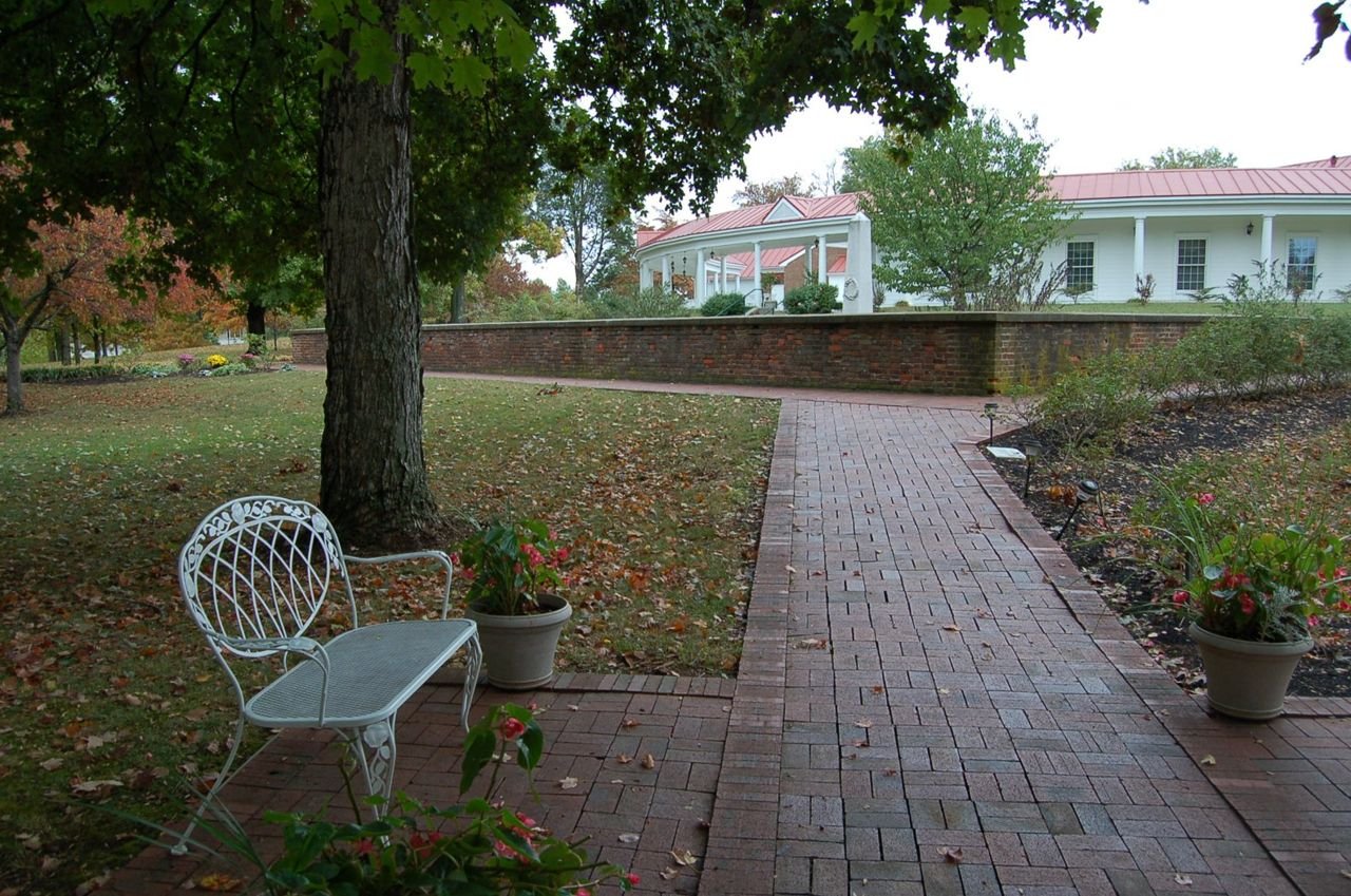
Autumn leaves lie scattered over a bench and path behind the visitor center at My Old Kentucky Home State Park in Bardstown, KY.
Lincoln Heritage Scenic Highway

My Old Kentucky Home State Park

Public Domain. Photo by A. E. Crane
Source & rights record ↗
Display changes: resized; some frames crop the image.

The lights and pillars of Harrah's Hotel and Riverboat Casino glow brightly against the blue night sky.
Lincoln Highway

Harrah's Hotel

Public Domain.
Source & rights record ↗
Display changes: resized; some frames crop the image.
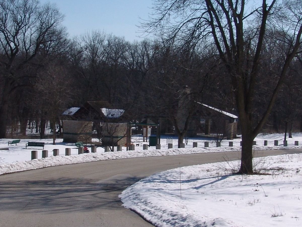
The park road curves past two park structures surrounded by snow in winter at Les Arends Forest Preserve Park near Batavia, Illinois.
Lincoln Highway

Park Pavilion at Les Arends in Winter

Public Domain. Photo by J. Crane
Source & rights record ↗
Display changes: resized; some frames crop the image.
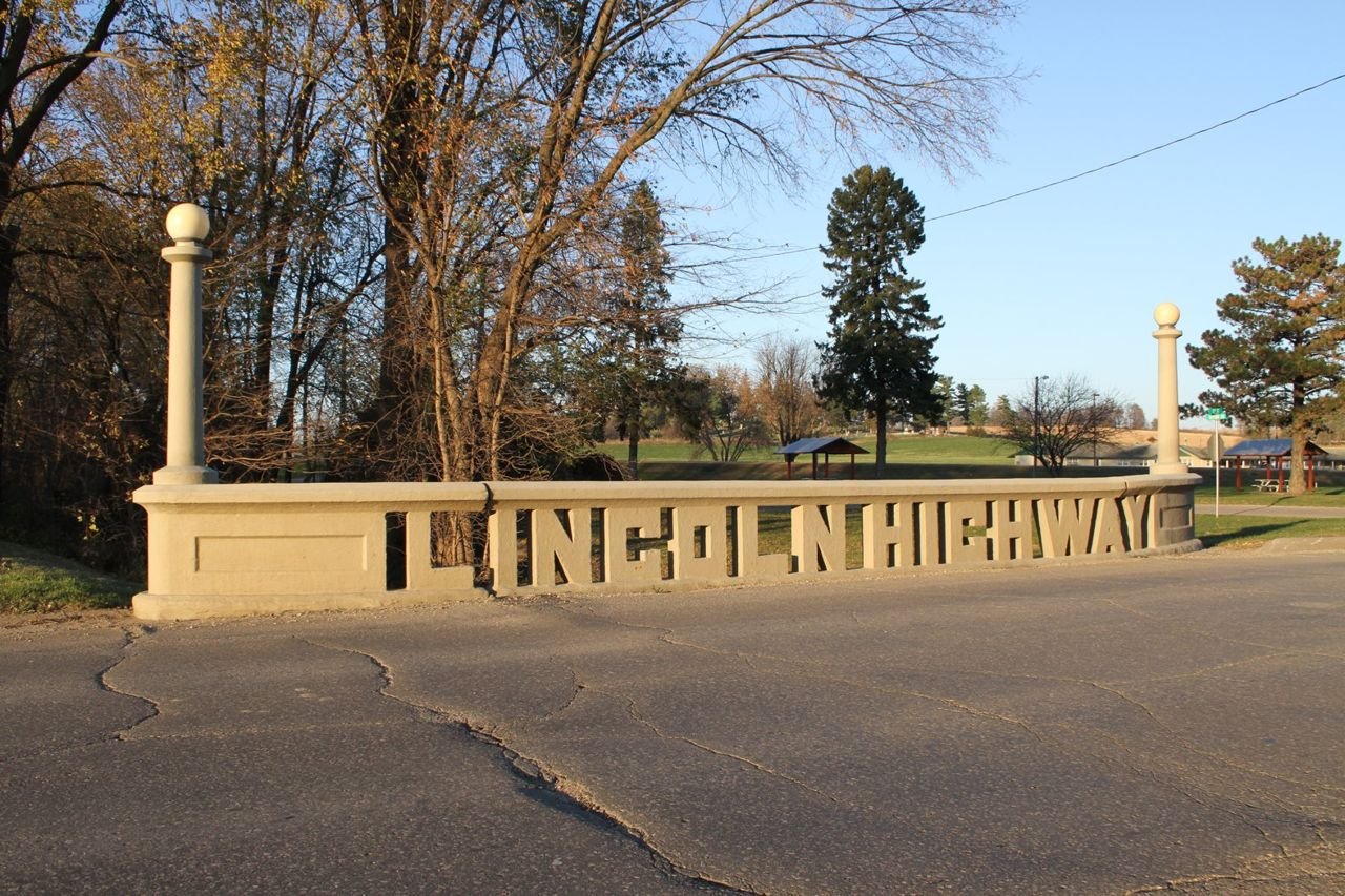
Locals pooled their money to create unique side panels (balustrades) spelling out “LINCOLN HIGHWAY” on the 1915 concrete bridge over Mud Creek on the eastern edge of Tama, near the adjacent Lincoln Highway Bridge Park.
Lincoln Highway Heritage Byway

F4aLincolnHighway

Public Domain. Mike Whye
Source & rights record ↗
Display changes: resized; some frames crop the image.
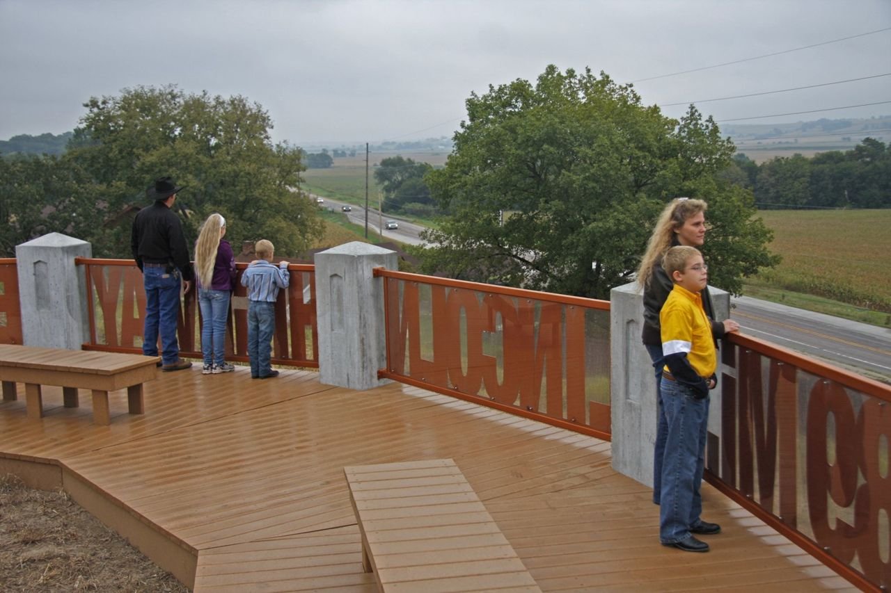
The overlook at the Harrison County Historical Village and Welcome Center’s concrete posts mimic the Boy Scout of America concrete markers and support the 5 metal railings with cutouts with the words “13 States”, “3389 Mi.”, “Lincoln”, “Highway”, “Est. 1913” making this a wonderful opportunity for a family of 5 to see the expansive views of the Boyer River Valley, the Lincoln Highway, and row crops as they disappear into the Loess Hills off into the horizon.
Lincoln Highway Heritage Byway

F8bLincolnHighway

Public Domain. Mike Whye
Source & rights record ↗
Display changes: resized; some frames crop the image.
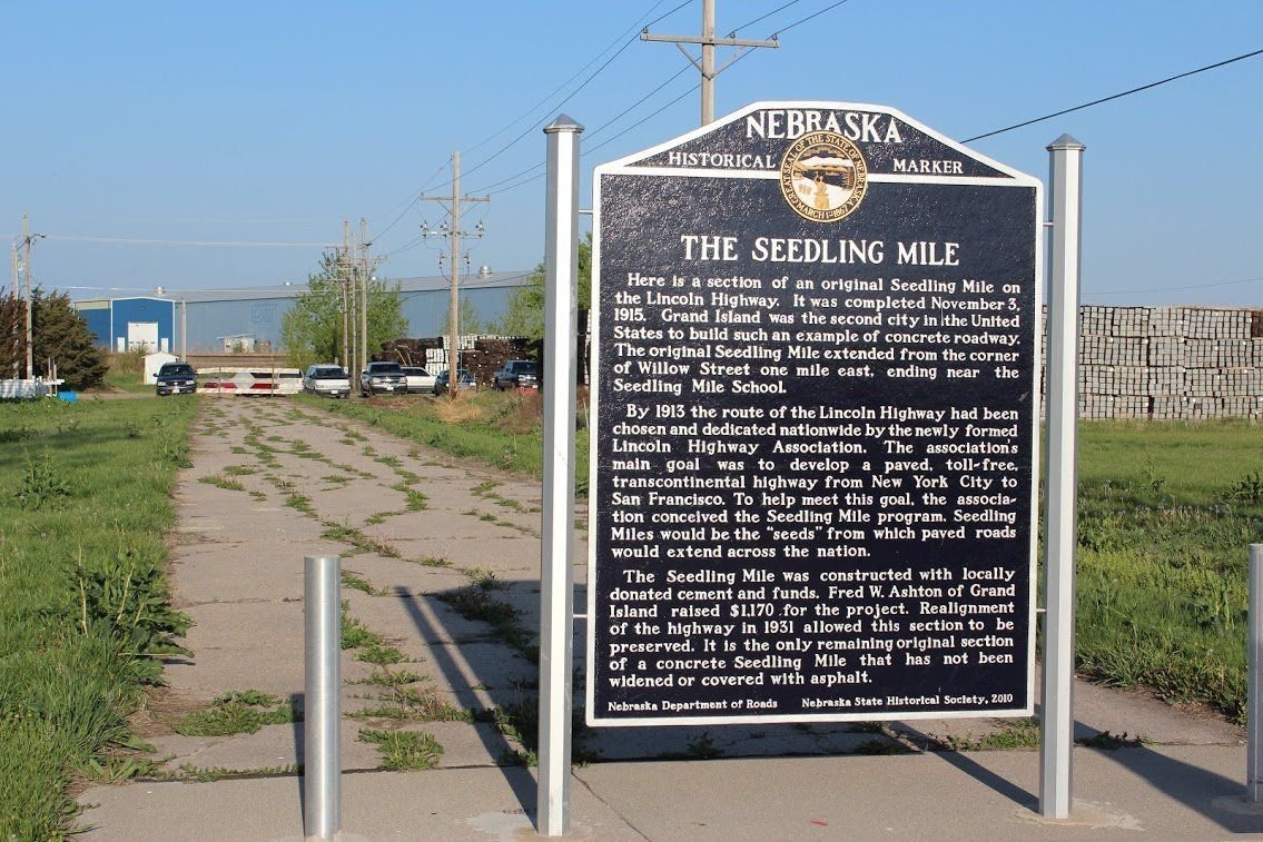
The only remaining original intact section of a Lincoln Highway Seedling Mile is located at Grand Island Nebraska and is commemorated with a historical marker placed by History Nebraska.
Lincoln Highway Scenic & History Byway

F2GrandIslandSeedlineMile

Public Domain. Nebraska Lincoln Highway Scenic and Historic Byway
Source & rights record ↗
Display changes: resized; some frames crop the image.
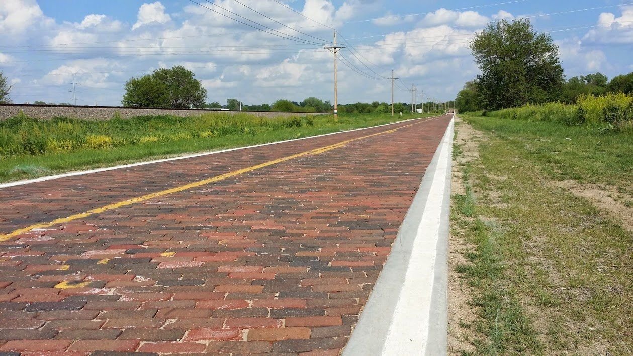
Early paving techniques of many sections of the Lincoln Highway across America included locally produced bricks, as in this section of the original 1913 route of the Lincoln Highway near Elkhorn Nebraska.
Lincoln Highway Scenic & History Byway

F3OriginalBrickPaving

Public Domain. Nebraska Lincoln Highway Scenic and Historic Byway
Source & rights record ↗
Display changes: resized; some frames crop the image.
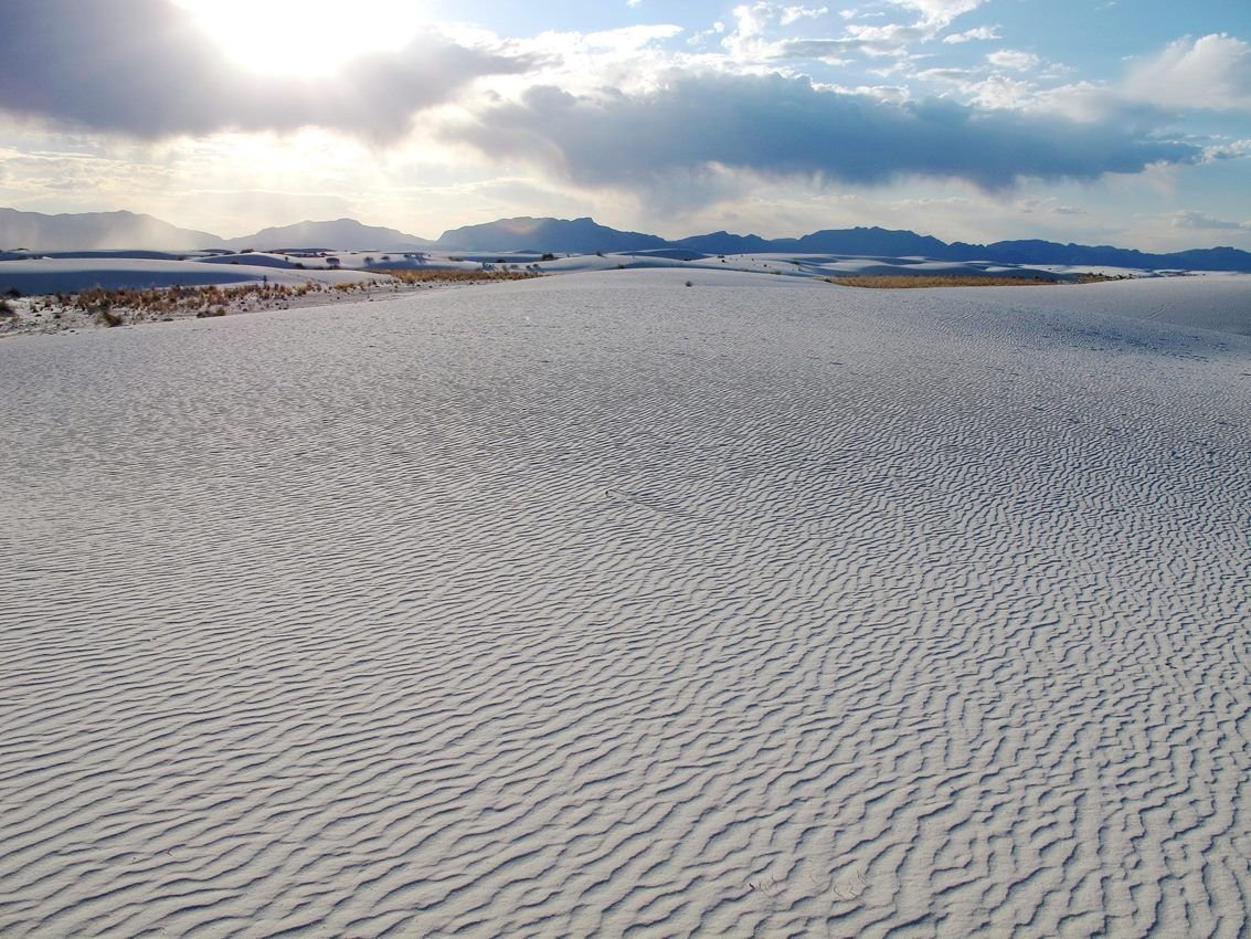
White dunes in foreground with sun setting behind mountain.
Lincoln National Forest · Cloudcroft Country

White Sands National Park

NPS Photo · Public domain, NPS
Source & rights record ↗
Display changes: resized; some frames crop the image.
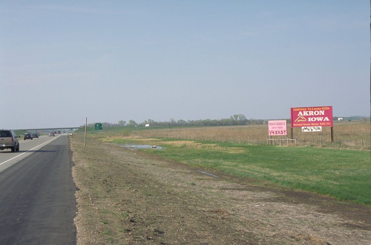
A roadside billboard welcomes folks to the Loess Hills Scenic Byway in Iowa, from Interstate 29.
Loess Hills National Scenic Byway

Byway Billboard for Akron, Iowa

Public Domain. Photo by Dennis Adams of FHWA
Source & rights record ↗
Display changes: resized; some frames crop the image.
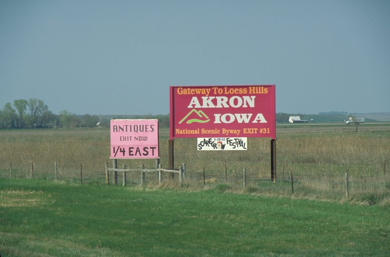
A billboard welcomes folks to the Loess Hills Scenic Byway in Iowa, from Interstate 29.
Loess Hills National Scenic Byway

Byway Billboard for Akron, Iowa

Public Domain. Photo by Dennis Adams of FHWA
Source & rights record ↗
Display changes: resized; some frames crop the image.
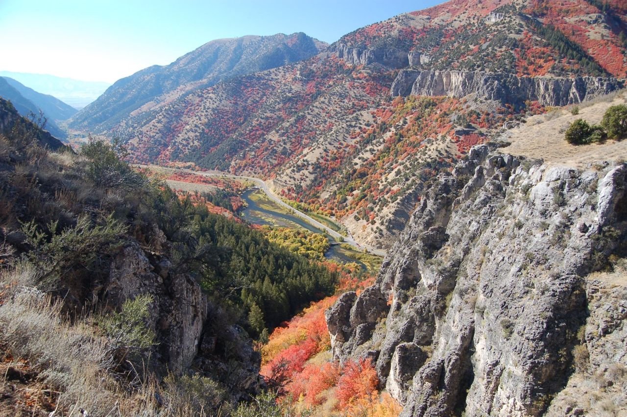
The Logan River and Logan Canyon Scenic Byway run along the bottom of Logan Canyon to Cache Valley in this autumn view from atop the China Wall on the Crimson Trail.
Logan Canyon Scenic Byway

Logan Canyon from the Crimson Trail

Public Domain. Photo by A. E. Crane
Source & rights record ↗
Display changes: resized; some frames crop the image.
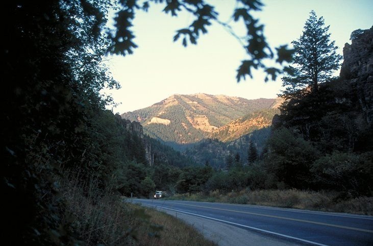
Early morning sun tips the mountaintops while the road remains shaded in Utah's Logan Canyon Scenic Byway
Logan Canyon Scenic Byway

Logan Canyon in Early Morning Light

Public Domain. Photo by Dennis Adams of FHWA
Source & rights record ↗
Display changes: resized; some frames crop the image.
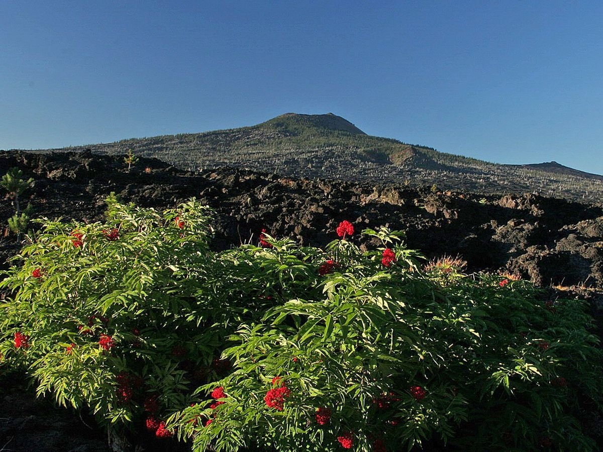
Bunches of red flowers grow along the bottom edges of Belknap Crater.
McKenzie Pass-Santiam Pass Scenic Byway

Belknap Crater

Public Domain. Dennis Stilwell
Source & rights record ↗
Display changes: resized; some frames crop the image.
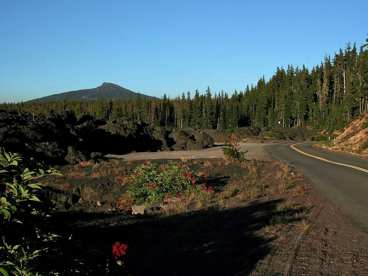
The green spires of the evergreens line the eastbound route of McKenzie Pass-Santiam-Pass Scenic Byway.
McKenzie Pass-Santiam Pass Scenic Byway

Guarding the Road

Public Domain. Dennis Stilwell
Source & rights record ↗
Display changes: resized; some frames crop the image.
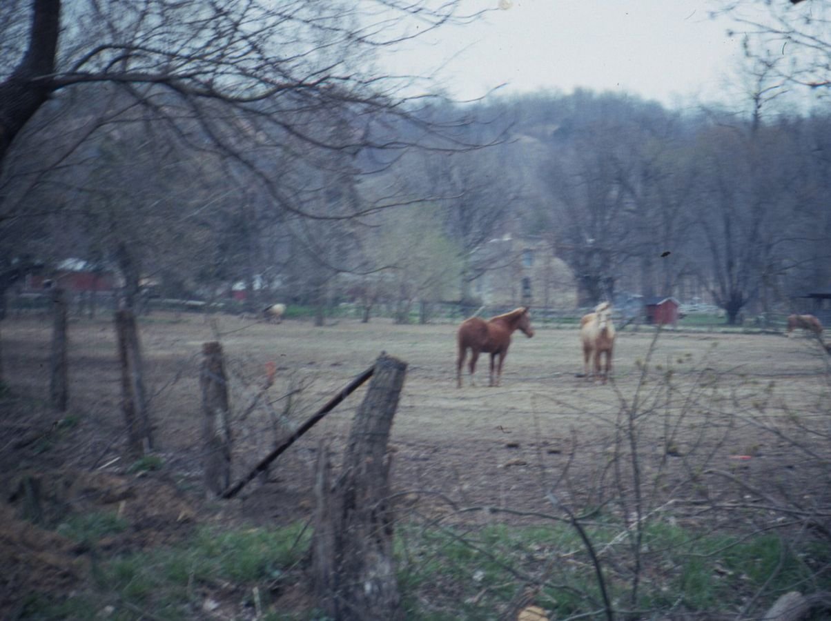
Bed and breakfast and horses along the Meeting of the Great Rivers Scenic Route.
Meeting of the Great Rivers Scenic Route

Horses graze in a field along the Meeting of the Great Rivers Scenic Byway.

Public Domain.
Source & rights record ↗
Display changes: resized; some frames crop the image.
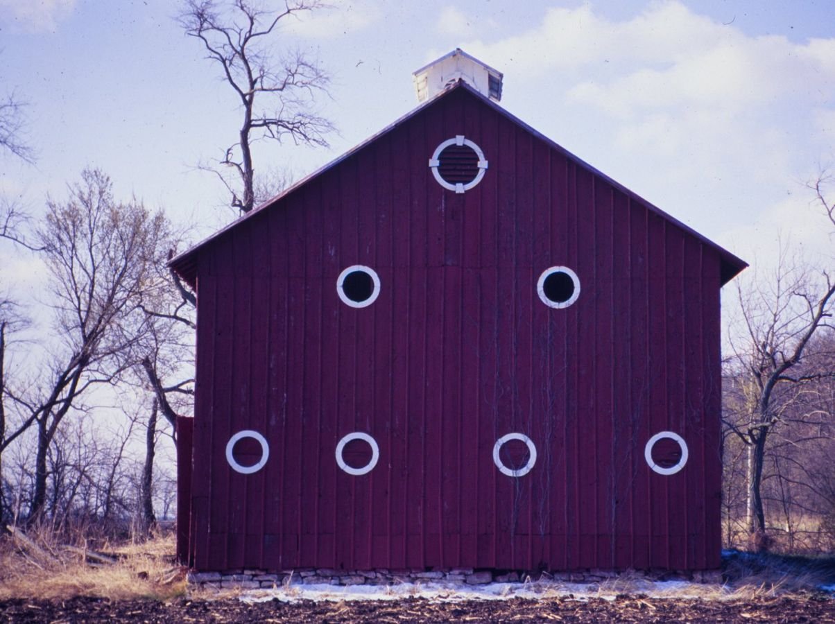
A pyramid of round windows stares from the side of this barn along the Meeting of the Great Rivers Scenic Byway.
Meeting of the Great Rivers Scenic Route

Round Window Barn

Public Domain.
Source & rights record ↗
Display changes: resized; some frames crop the image.
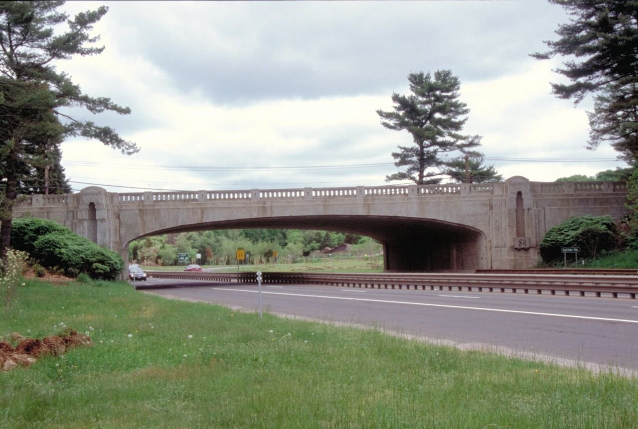
A break in traffic gives a fine view of one of the bridges on the Merritt Parkway.
Merritt Parkway

Bridge on Merritt Parkway

Public Domain. Photo by Dennis Adams
Source & rights record ↗
Display changes: resized; some frames crop the image.
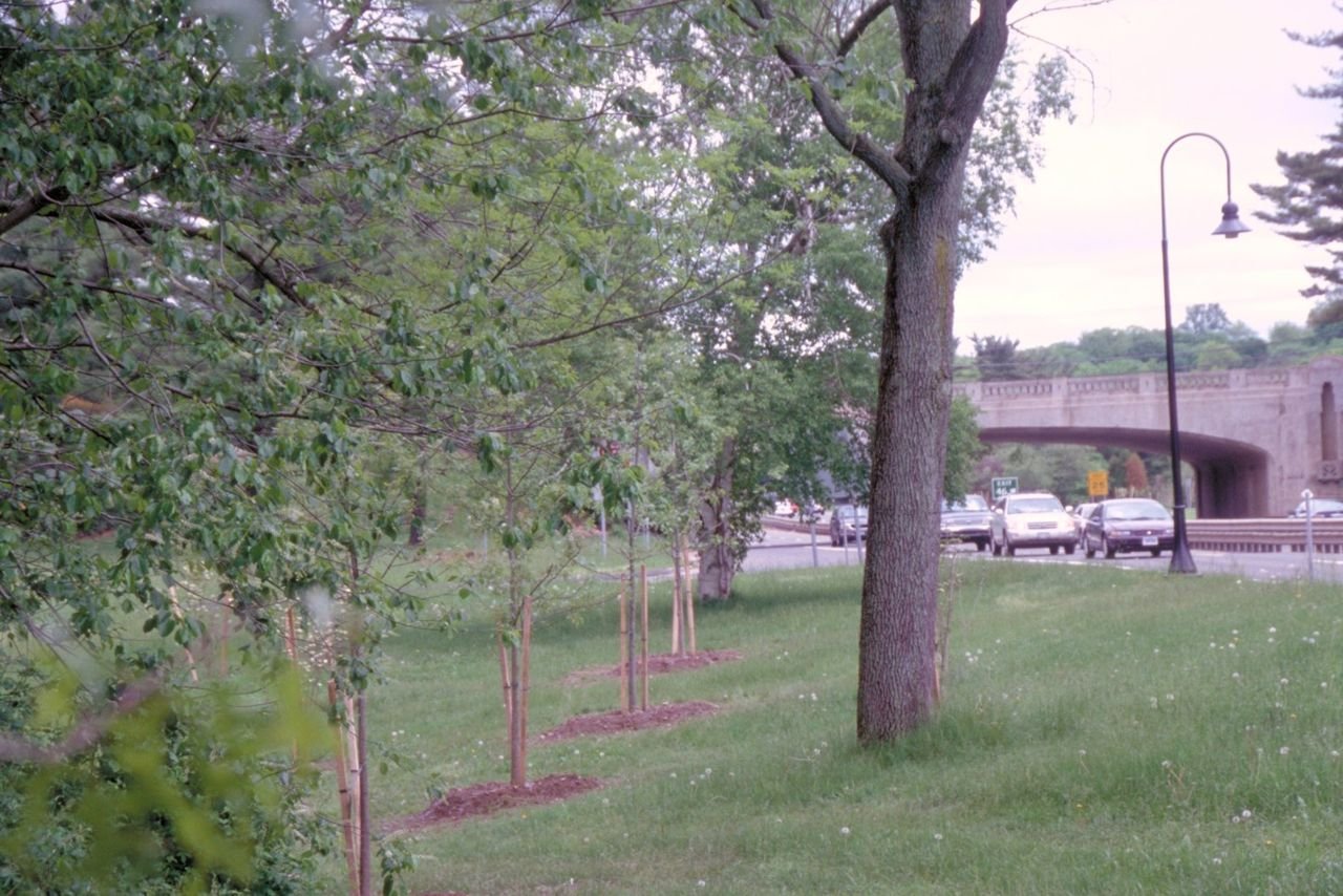
Young and old trees show the care taken by highway maintainers to keep the roadsides of the Merritt Parkway beautiful. One of the bridges is visible, as is the road itself.
Merritt Parkway

Tree Plantings Alongside Merritt Parkway

Public Domain. Photo by Dennis Adams
Source & rights record ↗
Display changes: resized; some frames crop the image.

Tucked backed amongst the trees is the Canyon River Visitor Center at the New River Gorge National Scenic River.
Midland Trail

Canyon River Visitor Center

Public Domain. Photo by A. E. Crane
Source & rights record ↗
Display changes: resized; some frames crop the image.
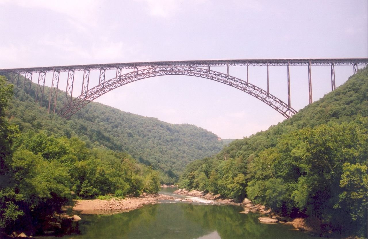
Travelers will find a scenic view and photo opportunity of the New River Gorge Bridge from the Fayette Station Road Bridge.
Midland Trail

New River Gorge Bridge

Public Domain. Photo by A. E. Crane
Source & rights record ↗
Display changes: resized; some frames crop the image.
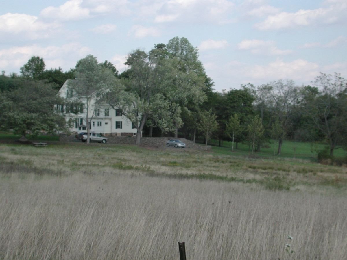
River Road is lined with a pastoral landscape on the western flank of the Millstone River Valley.
Millstone Valley Scenic Byway

A View from River Road

Public Domain. Photograph by Lardner/Klein Landscape Architects, P.C.
Source & rights record ↗
Display changes: resized; some frames crop the image.
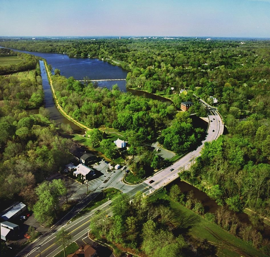
An aerial view gives way to the Kingston Lock and the relationship between the canal and Millstone River-- the canal a straight line running alongside the meandering river.
Millstone Valley Scenic Byway

View over Kingston

Public Domain. Photograph courtesy of Lauren Wasilauski, Montgomery Township, NJ
Source & rights record ↗
Display changes: resized; some frames crop the image.
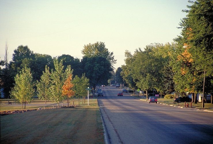
The early morning sun casts a shadow across the Minnesota River Valley Scenic Byway south of Belle Plaine in the fall.
Minnesota River Valley Scenic Byway

Early Morning in the Minnesota River Valley

Public Domain. Photo by Dennis Adams of FHWA
Source & rights record ↗
Display changes: resized; some frames crop the image.
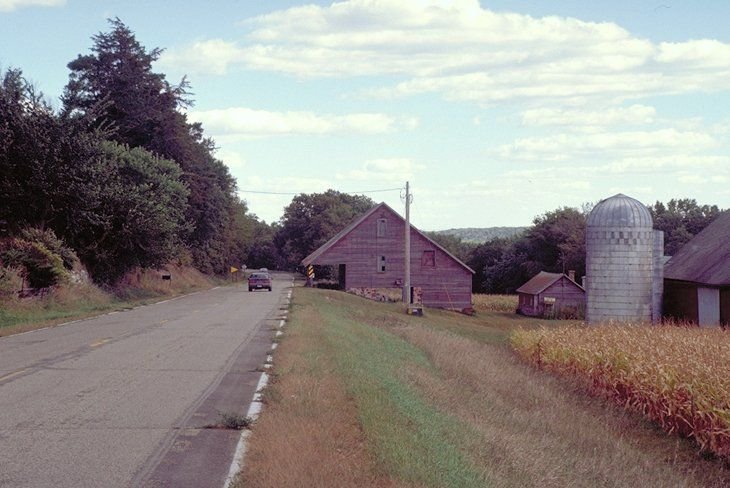
The byway road runs straight in farming country, past a drying field of corn and farm buildings.
Minnesota River Valley Scenic Byway

Minnesota River Valley Scenic Byway

Public Domain. Photo by Dennis Adams of FHWA
Source & rights record ↗
Display changes: resized; some frames crop the image.
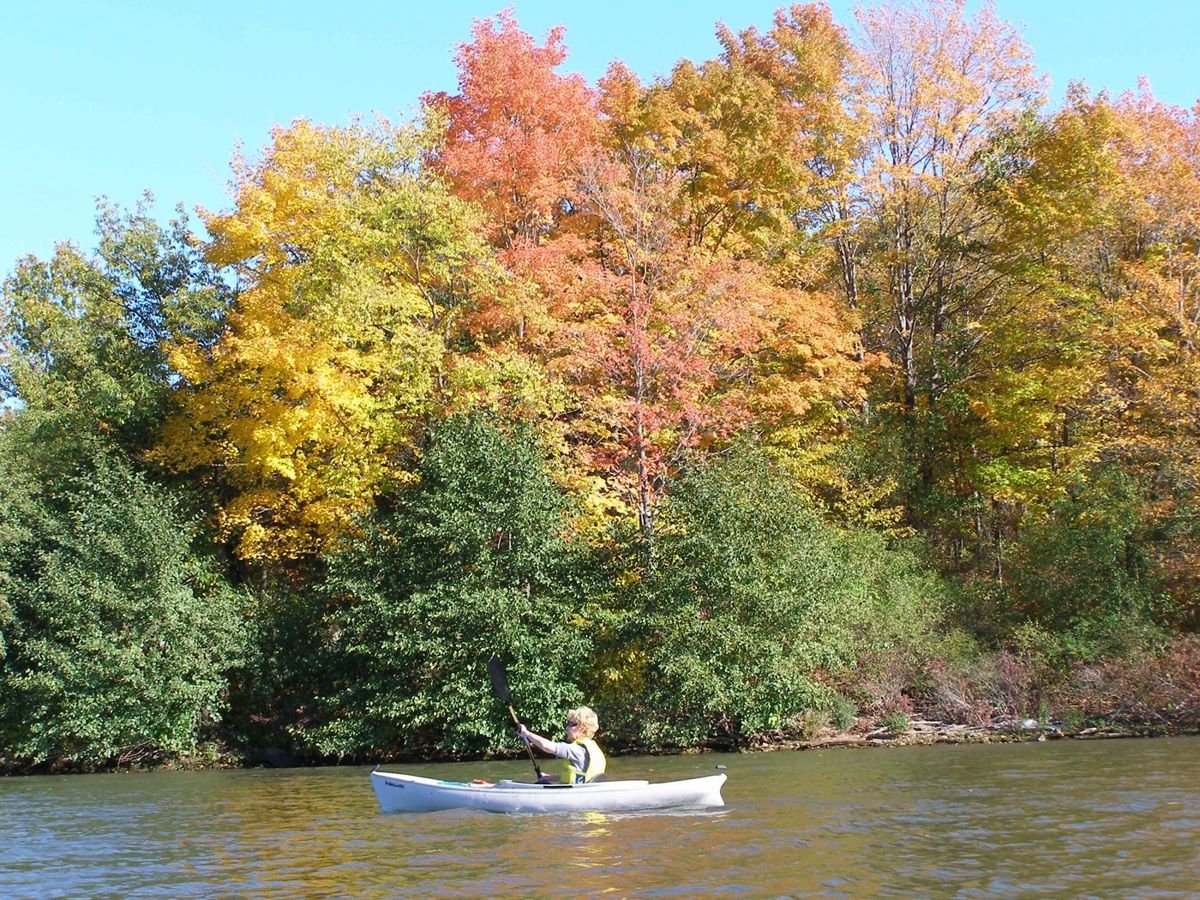
A woman paddles a canoe up the Mohawk River amidst a colorful array of fall foliage.
Mohawk Towpath Byway

Canoeing on a Colorful Day

Public Domain. Photo by Eric J Hamilton.
Source & rights record ↗
Display changes: resized; some frames crop the image.
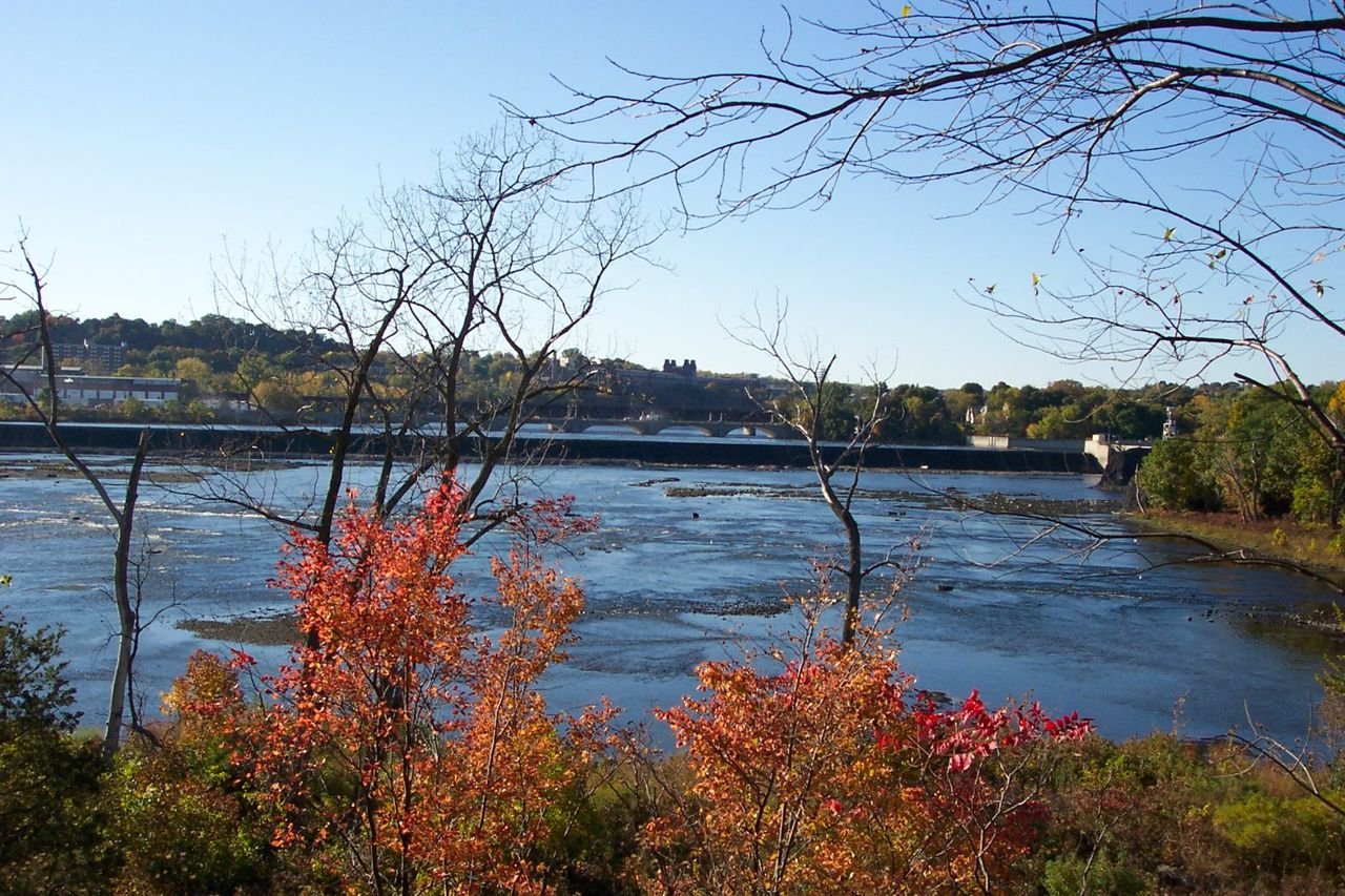
From Peebles Island, the Mohawk River creates a beautiful contrast to the red and orange trees lining the riverbank.
Mohawk Towpath Byway

Peebles Island

Public Domain. Photo by Henrietta O'Grady.
Source & rights record ↗
Display changes: resized; some frames crop the image.
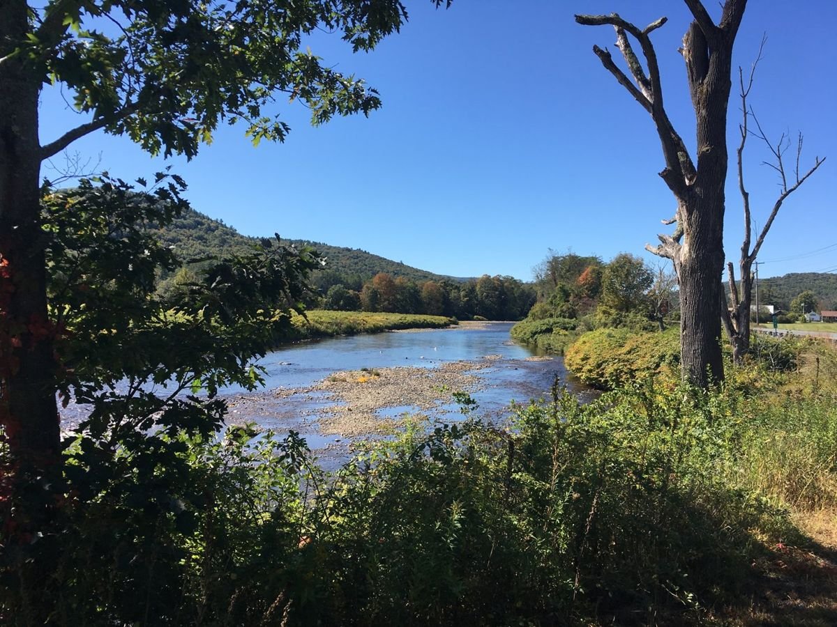
This photo is of the view of the Deerfield River as seen from the pull-off area on the south side of the Byway. The view is to the west and there are trees and vegetation in the foreground, the foothills of the Berkshire Mountains in the background, and the Deerfield River.
Mohawk Trail Scenic Byway

View of the Deerfield River from the Byway in east Charlemont

Public Domain. Franklin Regional Council of Governments
Source & rights record ↗
Display changes: resized; some frames crop the image.
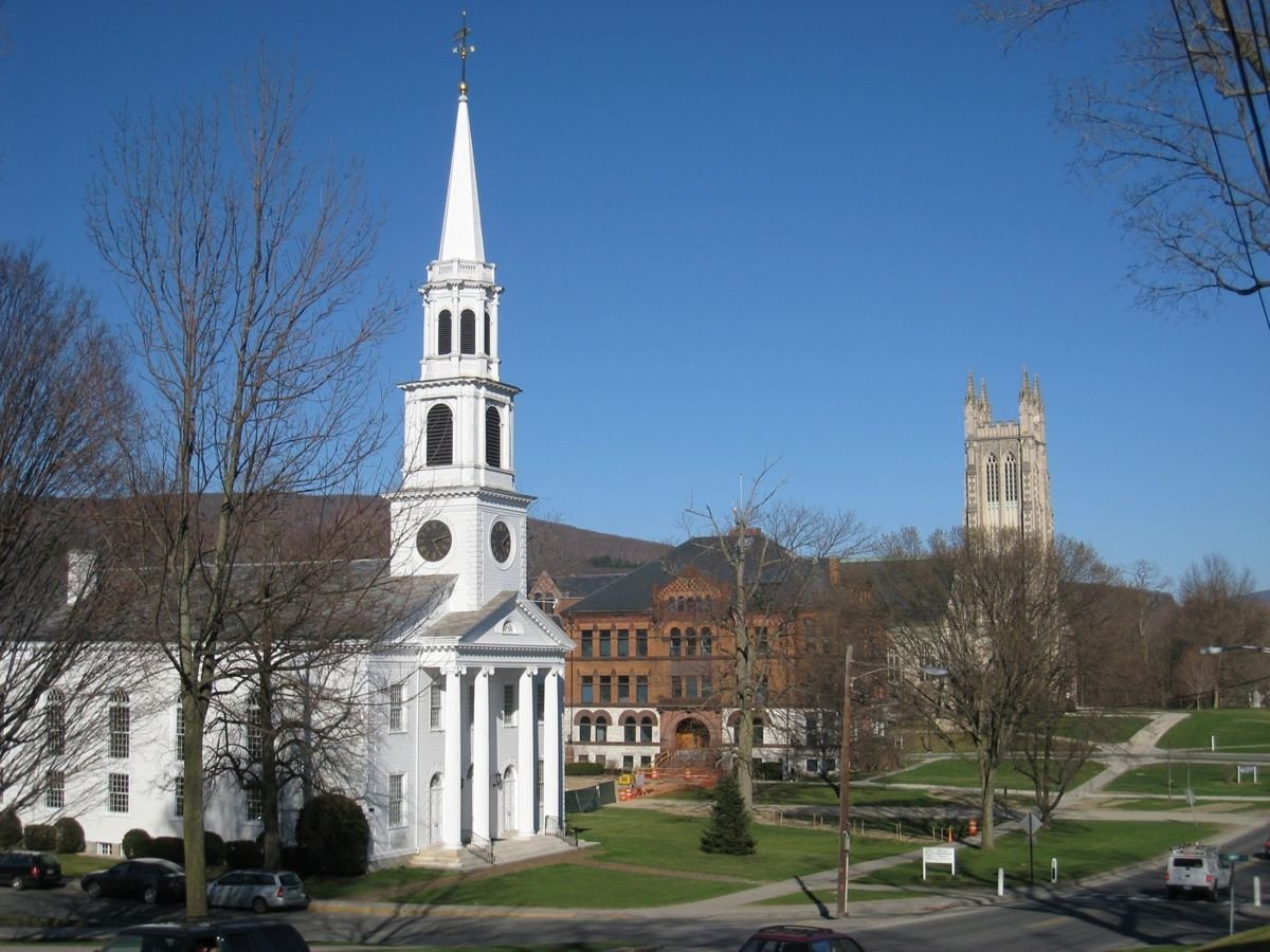
A view of a church and buildings on the campus of Williams College that can be seen from the Byway in Williamstown.
Mohawk Trail Scenic Byway

Williamstown on the Mohawk Trail Scenic Byway

Public Domain. Berkshire Regional Planning Commission
Source & rights record ↗
Display changes: resized; some frames crop the image.
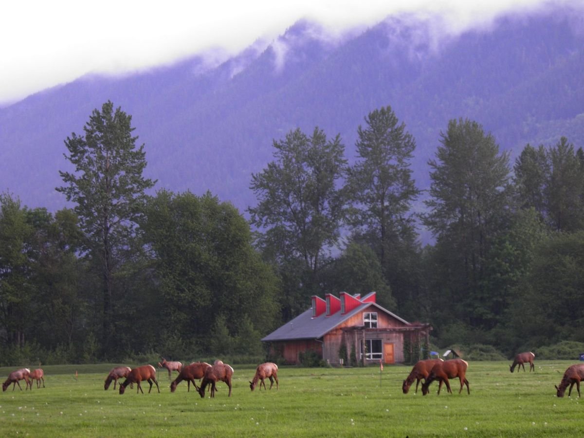
This scenic open space at Meadowbrook Farm on the Snoqualmie Valley Floor is an important story location to the Snoqualmie Tribal people. Historically, the Snoqualmie Tribal people maintained the prairie through traditional methods. Today, Meadowbrook is managed for historic and cultural interpretation, wildlife habitat, agriculture, and public recreation.
Mountains to Sound Greenway - I-90

Meadowbrook Farm on the Snoqualmie Valley Floor

Public Domain.
Source & rights record ↗
Display changes: resized; some frames crop the image.
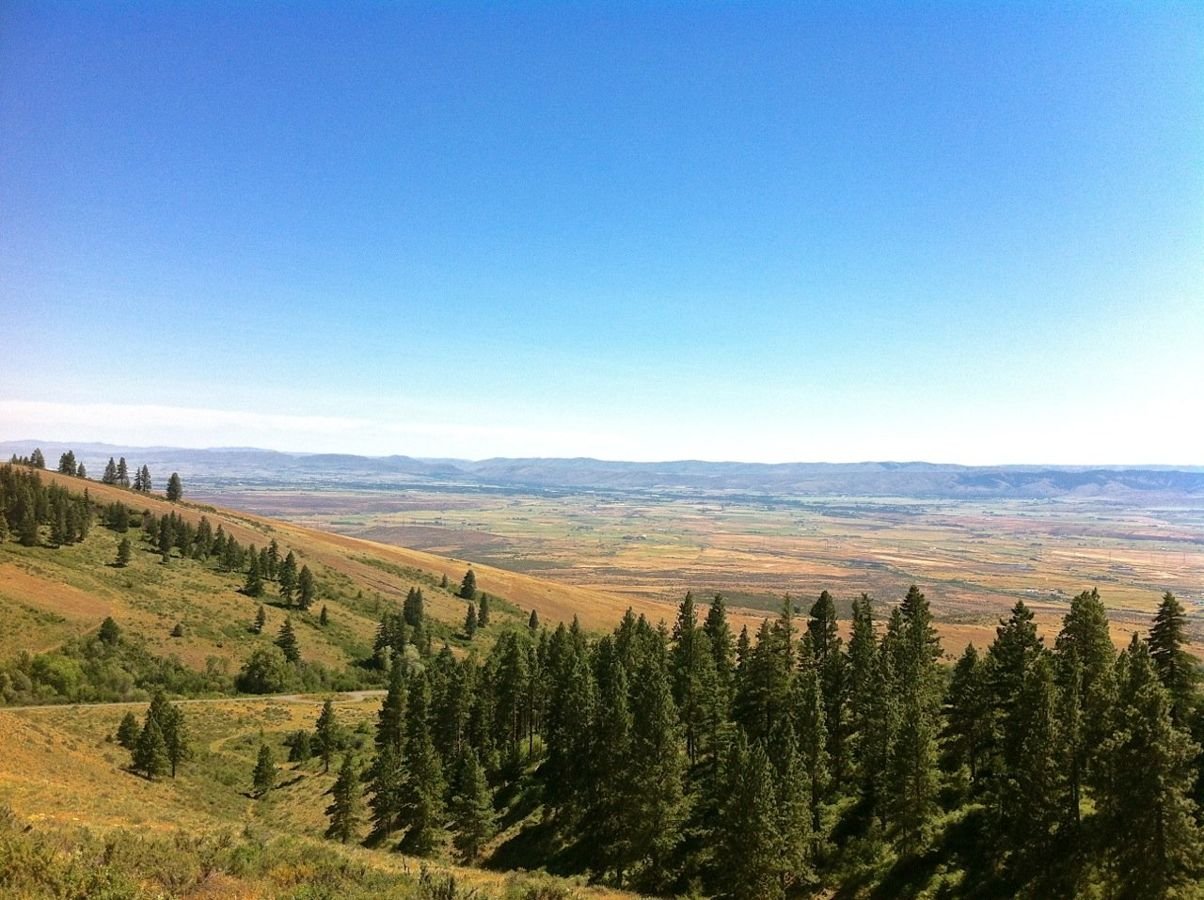
The Yakima River valley viewed from Table Mountain.
Mountains to Sound Greenway - I-90

Table Mountain

Public Domain.
Source & rights record ↗
Display changes: resized; some frames crop the image.

Next to evergreens, a smattering of trees show the touch of fall. The snowcapped peak of Mt. Hood provides a lovely backdrop.
Mt. Hood Scenic Byway

Autumn in the Mountains

Public Domain. Courtesy of U.S. Forest Service
Source & rights record ↗
Display changes: resized; some frames crop the image.
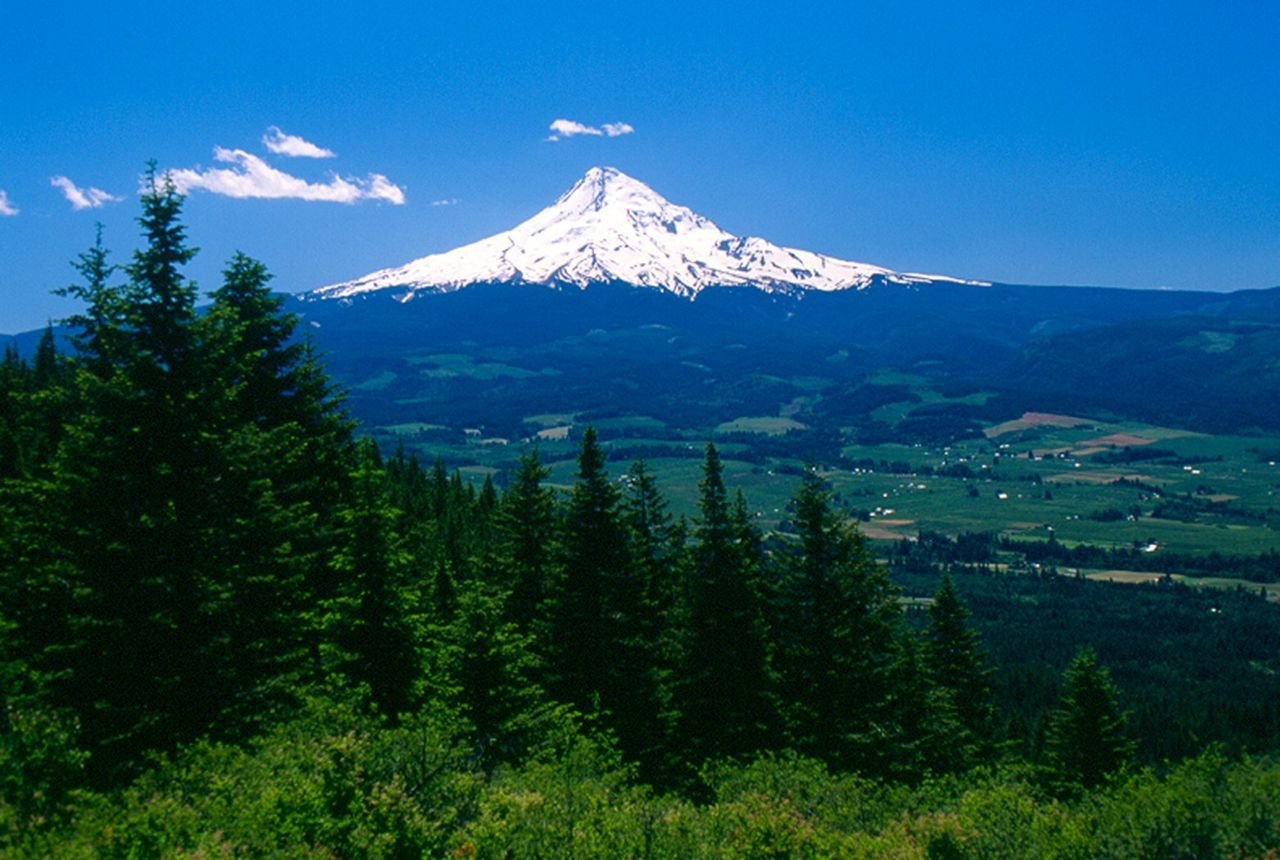
From Middle Mountain, a sweeping view of Mt. Hood is presented.
Mt. Hood Scenic Byway

Summertime in the Hood River Valley

Public Domain. Courtesy of U.S. Forest Service
Source & rights record ↗
Display changes: resized; some frames crop the image.
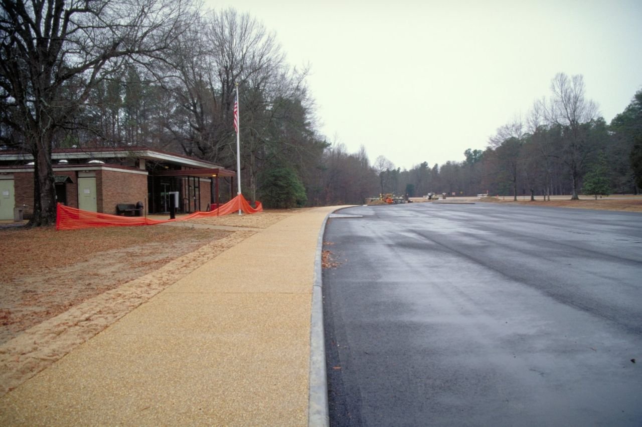
A parking lot in Tupolo receives a facelift with byway funds on the Natchez Trace.
Natchez Trace Parkway

Use of Byway Funds

Public Domain. Photo by Dennis Adams
Source & rights record ↗
Display changes: resized; some frames crop the image.

These shaggy buffalo graze in the Lakota Tribal Park, an immense section of grasslands on the eastern side of the Cheyenne River Indian Reservation.
Native American Scenic Byway

Buffalo Herd at the Lakota Tribal Park

Public Domain. Photo by Cheyenne River Sioux Tribe Game, Fish & Parks Dept.
Source & rights record ↗
Display changes: resized; some frames crop the image.
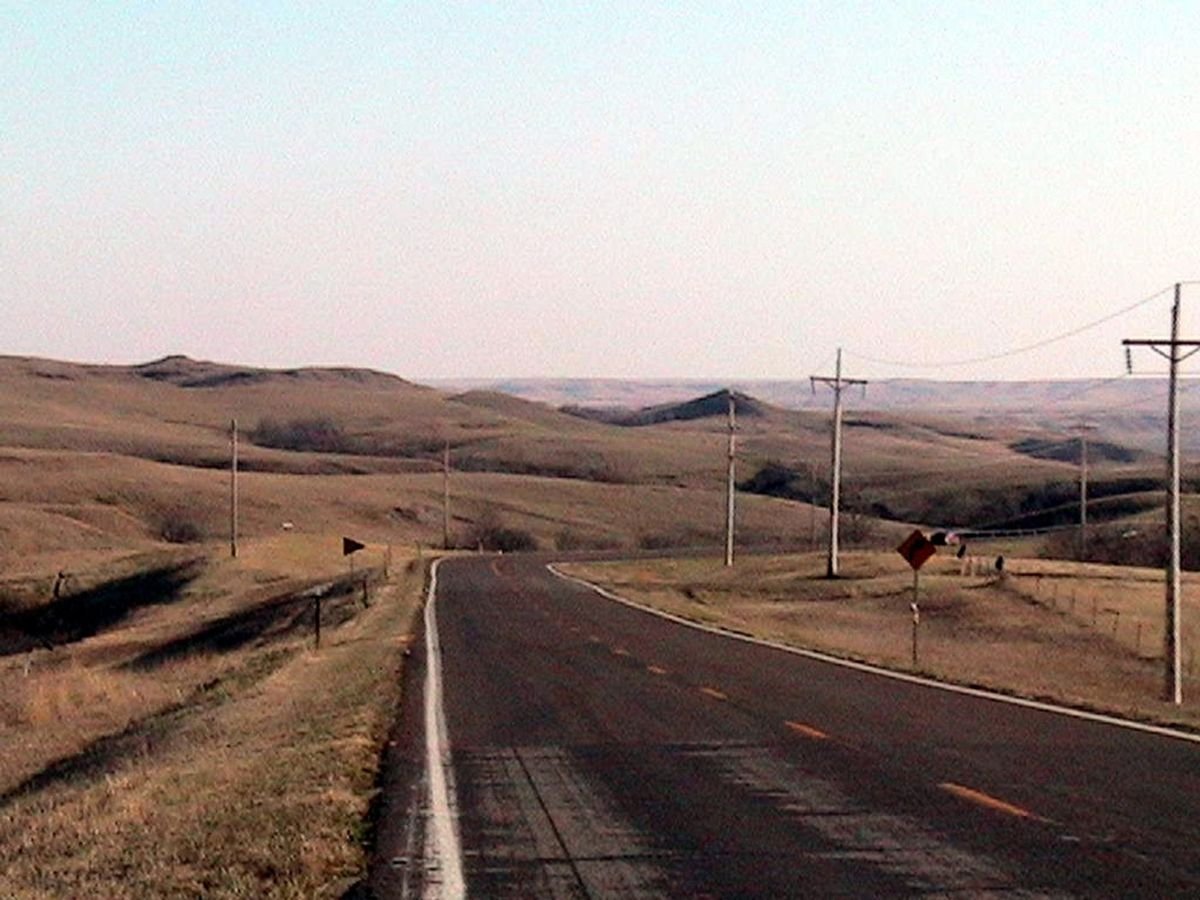
This photo shows the wide open views of the Native American Scenic Byway as it passes through the Cheyenne River Sioux Reservation.
Native American Scenic Byway

View of Native American Scenic Byway on the Cheyenne River Sioux Reservation

Public Domain. Photo provided by the Alliance of Tribal Tourism Advocates
Source & rights record ↗
Display changes: resized; some frames crop the image.
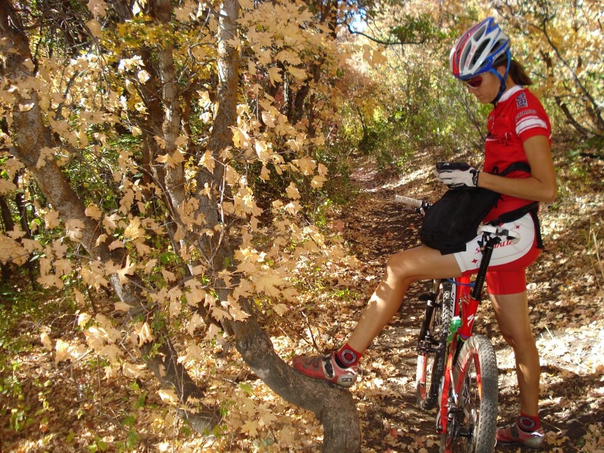
A mountain biker pauses during a ride along the Blackhawk Trail.
Nebo Loop Scenic Byway

Mountain Biker Taking a Break on the Blackhawk Trail

Public Domain. Photo provided by Carey Pierce
Source & rights record ↗
Display changes: resized; some frames crop the image.
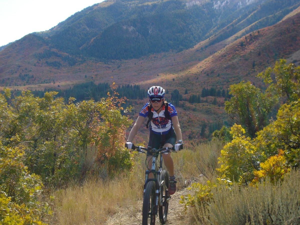
A mountain biker pedals through the fall colors and mountain vistas of Utah's Lower Payson Canyon.
Nebo Loop Scenic Byway

Mountain Biker in Lower Payson Canyon

Public Domain. Photo provided by Carey Pierce
Source & rights record ↗
Display changes: resized; some frames crop the image.
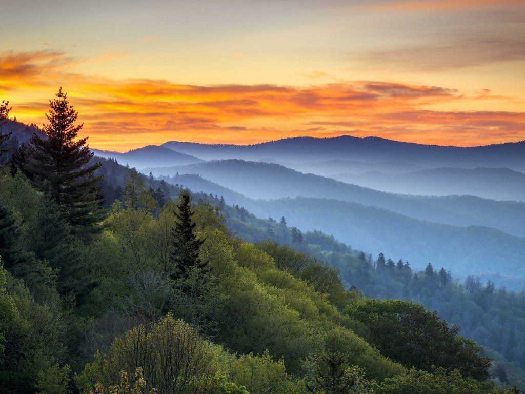
Sunset View toward the mountain ridge at Newfound Gap Overlook.
Newfound Gap Road Byway

1-4Newfound Gap Overlook.jpg

Public Domain. Unknown
Source & rights record ↗
Display changes: resized; some frames crop the image.
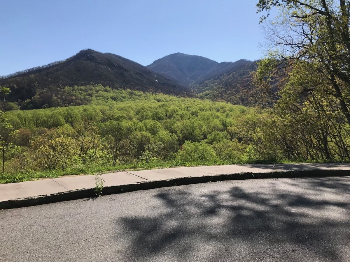
View from the Campbell Overlook Parking Area, across the valley, toward the mountains.
Newfound Gap Road Byway

F1Carlos Campbell Overlook 1_Walton.JPG

Public Domain. National Park Service
Source & rights record ↗
Display changes: resized; some frames crop the image.
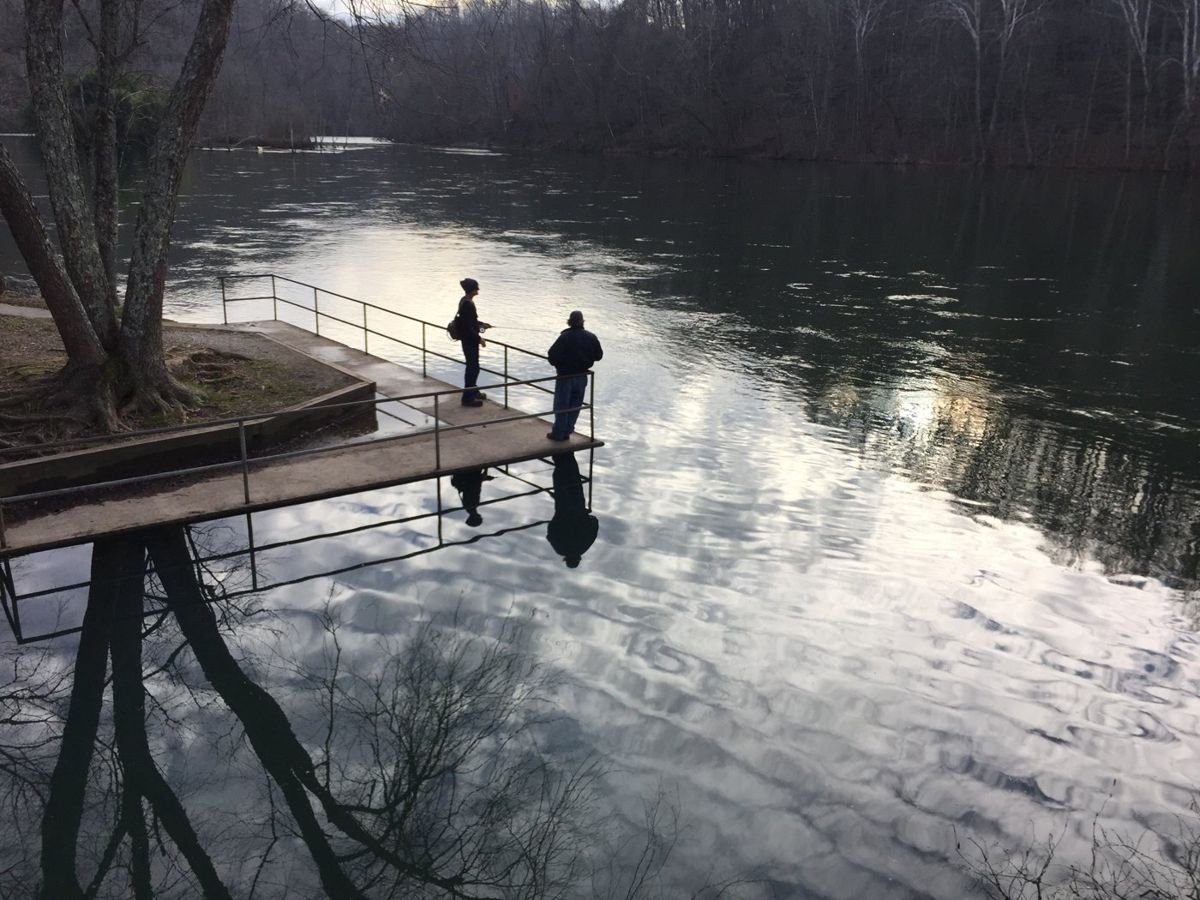
Here a woman with her fishing rod in hand and her friend are at Clear Creek. The concrete platform there offers a good spot to cast a line into the Clinch River. A lovely reflection of the winter hardwoods can be seen in the water.
Norris Freeway

Fishers at Clear Creek platform

Public Domain. Michael Carberry
Source & rights record ↗
Display changes: resized; some frames crop the image.
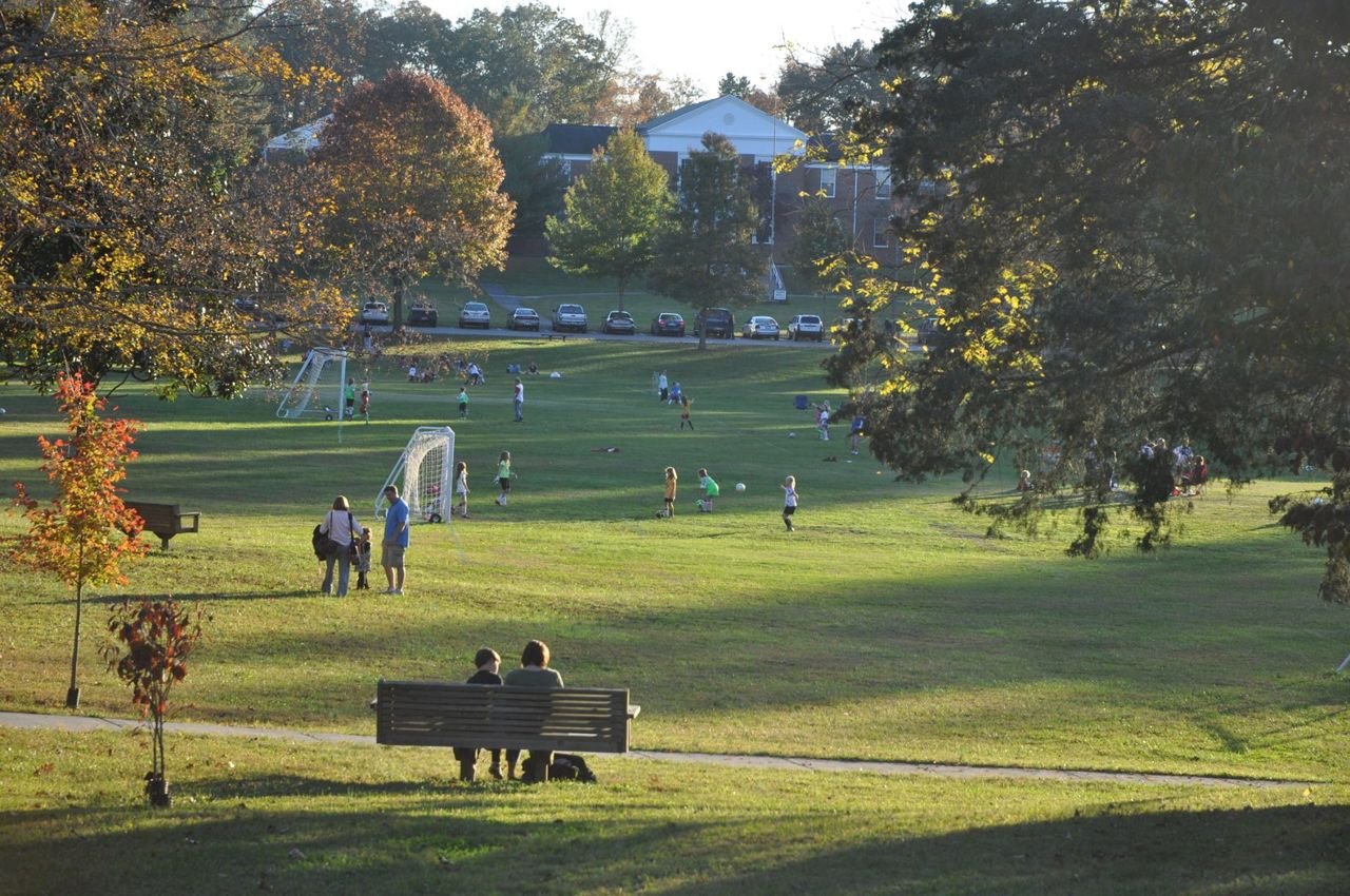
This broad park space is the centerpiece of the town of Norris. In this scene there are dozens of kids playing soccer and adults sitting on the hillside overlooking the action on the field. A variety of trees surround the open space, and have led to the recognition of the Commons as a Tennessee arboretum.
Norris Freeway

Norris Commons

Public Domain. Michael Carberry
Source & rights record ↗
Display changes: resized; some frames crop the image.
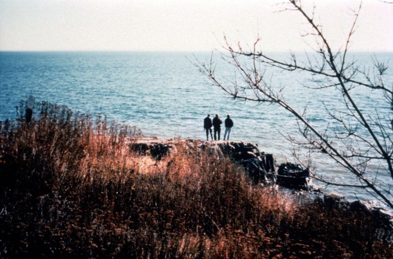
There are many opportunities to leave your vehicle along the byway and walk out among the rocks along Lake Superior.  This view is from just North of the Lester River.
North Shore Scenic Drive

Rocky Overlook Near Lester River

Public Domain. Martin Schultz
Source & rights record ↗
Display changes: resized; some frames crop the image.
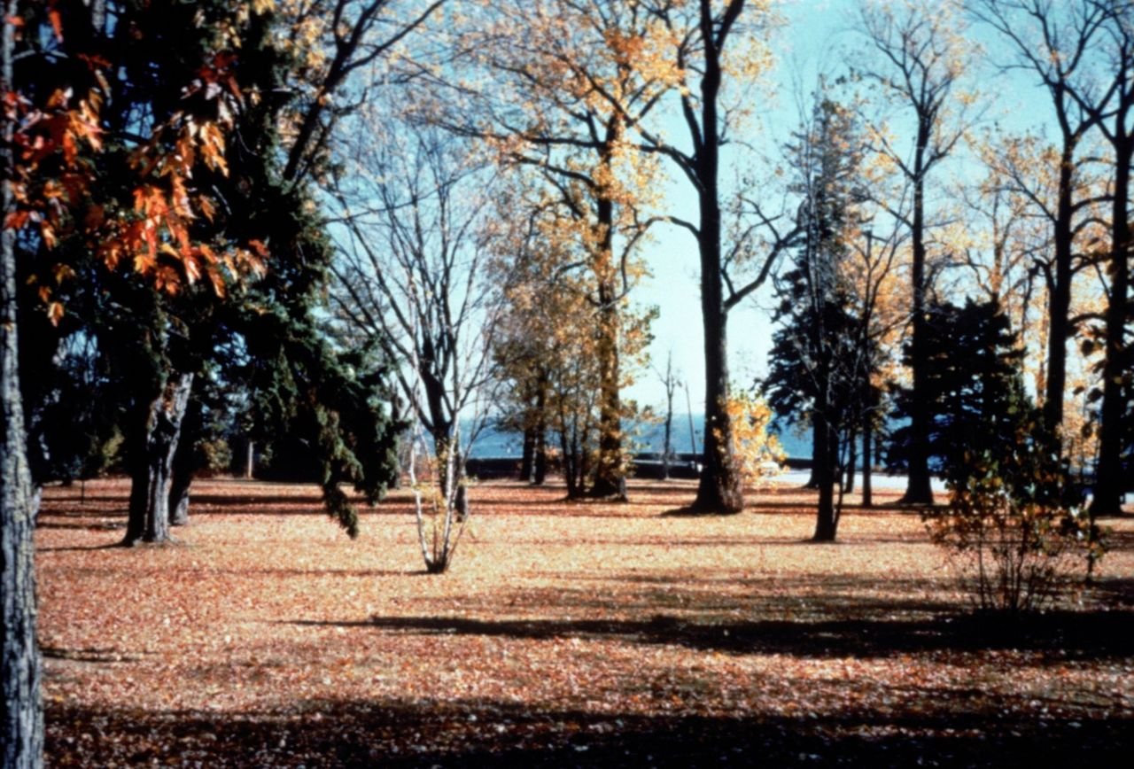
Fall colors abound at University Park, a small square near the end of London Road.  The North Shore Scenic Drive can be seen in the background as it crosses over the Lester River just before the river reaches Lake Superior.
North Shore Scenic Drive

University Park

Public Domain. Martin Schultz
Source & rights record ↗
Display changes: resized; some frames crop the image.
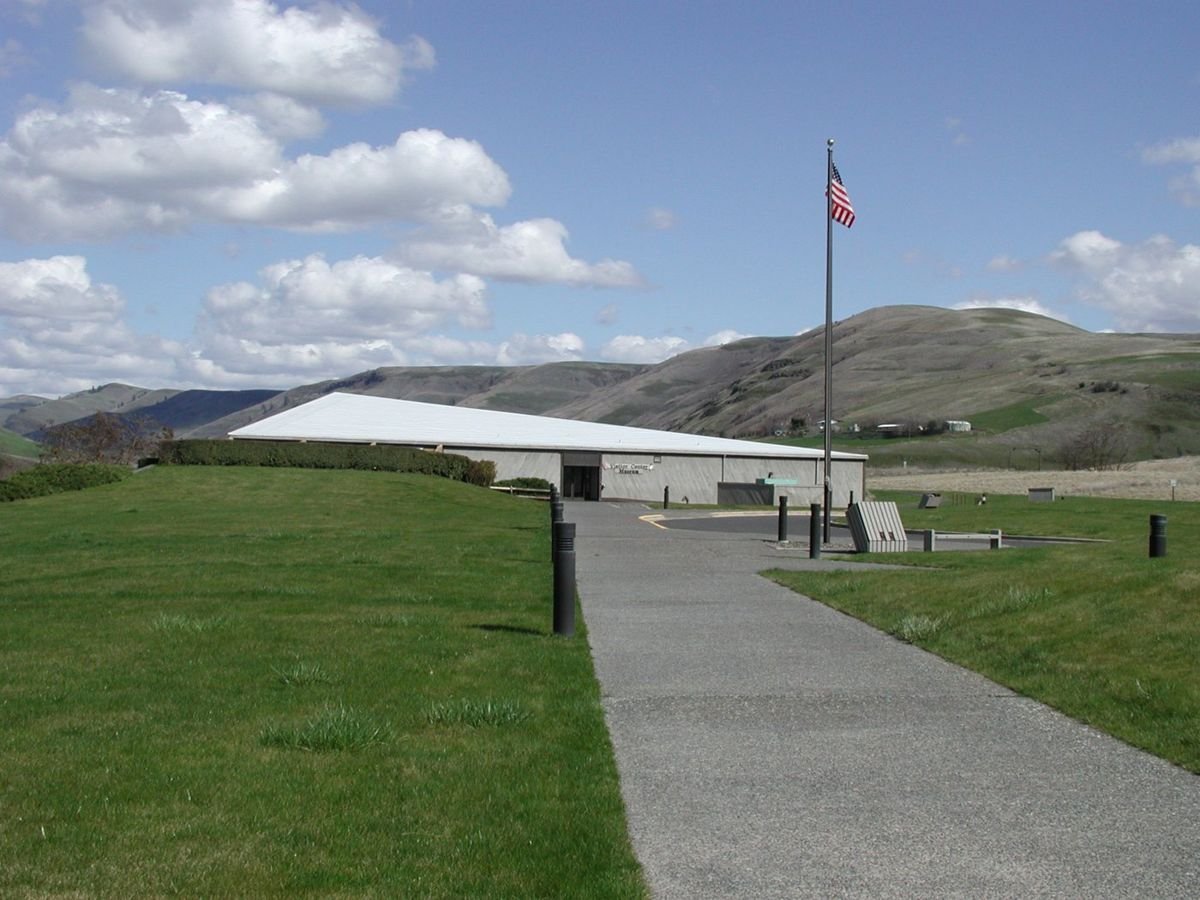
A unit of the National Park Service, this visitor center and museum conveys the history and culture of the Nimiipuu people, and provides an excellent orientation to the features and stories associated with the Northwest Passage Scenic Byway.
Northwest Passage Scenic Byway

Nez Perce National Historical Park in Spalding

Public Domain. Courtesy of Nez Perce National Historical Park
Source & rights record ↗
Display changes: resized; some frames crop the image.
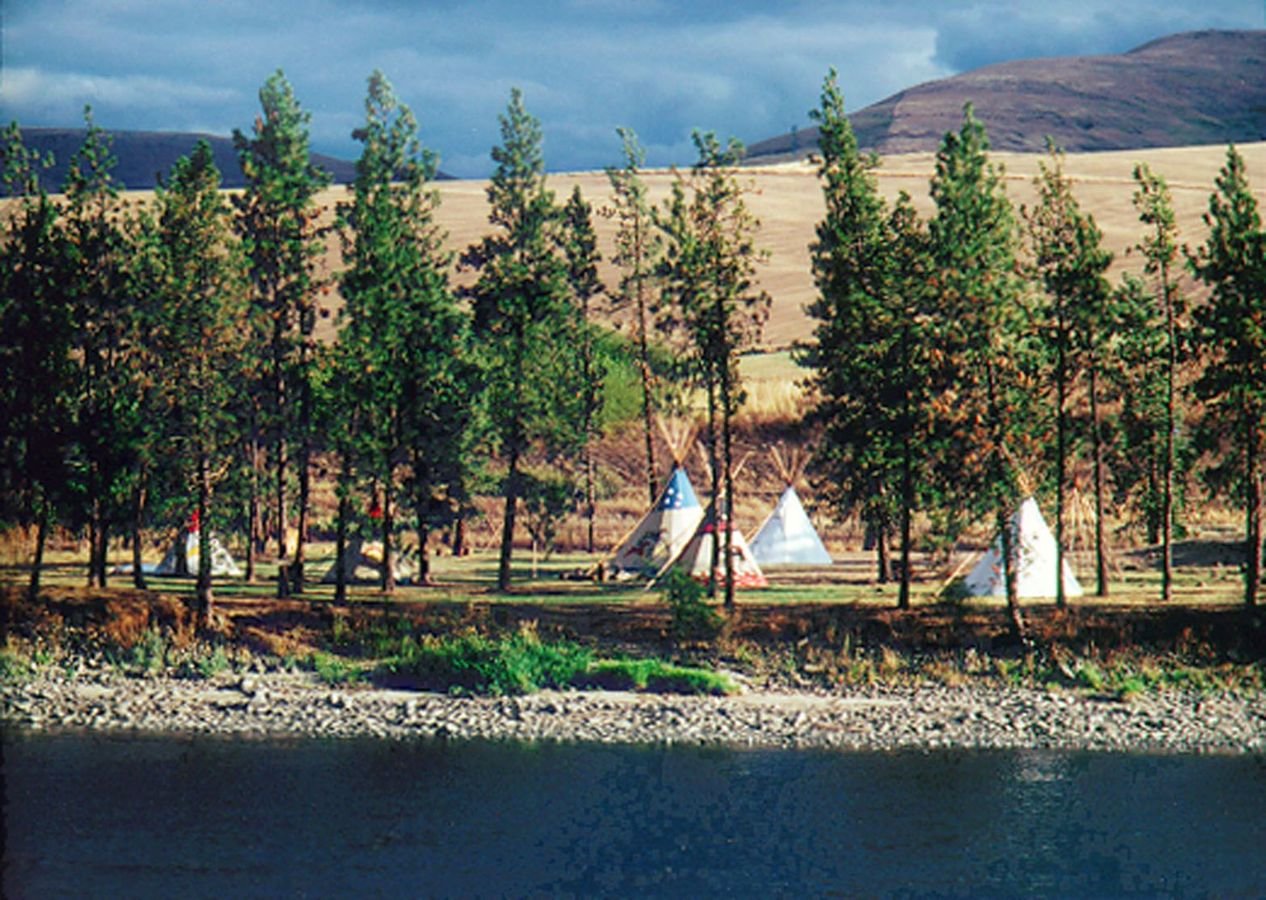
Traditional tipis dot the landscape of the Nez Perce Indian Reservation. But don't be fooled: some are intended as visitor lodging. At Nez Perce National Historical Park in Spalding, in summer you can assist park rangers in demonstrating the proper way to pitch a Nez Perce lodge.
Northwest Passage Scenic Byway

Tipis near Nez Perce National Historical Park in Spalding

Public Domain. Courtesy of Idaho Department of Commerce and Labor
Source & rights record ↗
Display changes: resized; some frames crop the image.
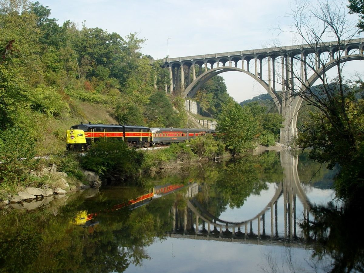
The sleek-looking train of the Cuyahoga Scenic Valley Railroad traverses under a majestic bridge, past glassy water, and through lush foliage.
Ohio & Erie Canalway

Chugging along the Canal

Public Domain. Photo supplied by the Cuyahoga Scenic Valley Railroad
Source & rights record ↗
Display changes: resized; some frames crop the image.

A canal behind the Canal Visitor Center in Cuyahoga Valley National Park is partially iced over during the winter. There is snow on the ground, and the remote sun is setting.
Ohio & Erie Canalway

Icy River at Cuyahoga Valley National Park

Public Domain. Photo by Dennis Adams of FHWA
Source & rights record ↗
Display changes: resized; some frames crop the image.
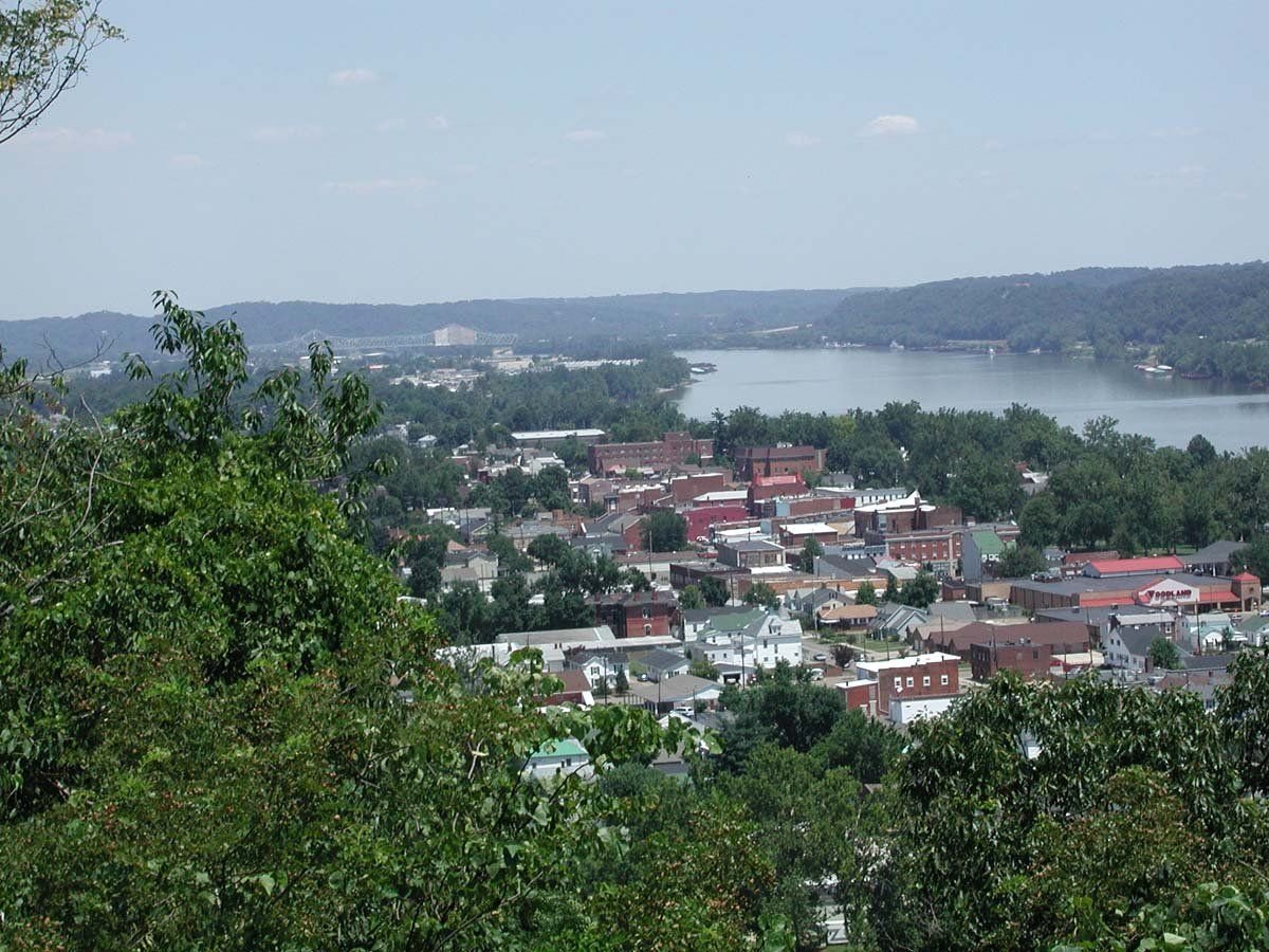
View from a hill overlooking a town on the Ohio River.
Ohio River Scenic Byway

View of Meigs County along the Ohio River

Public Domain.
Source & rights record ↗
Display changes: resized; some frames crop the image.
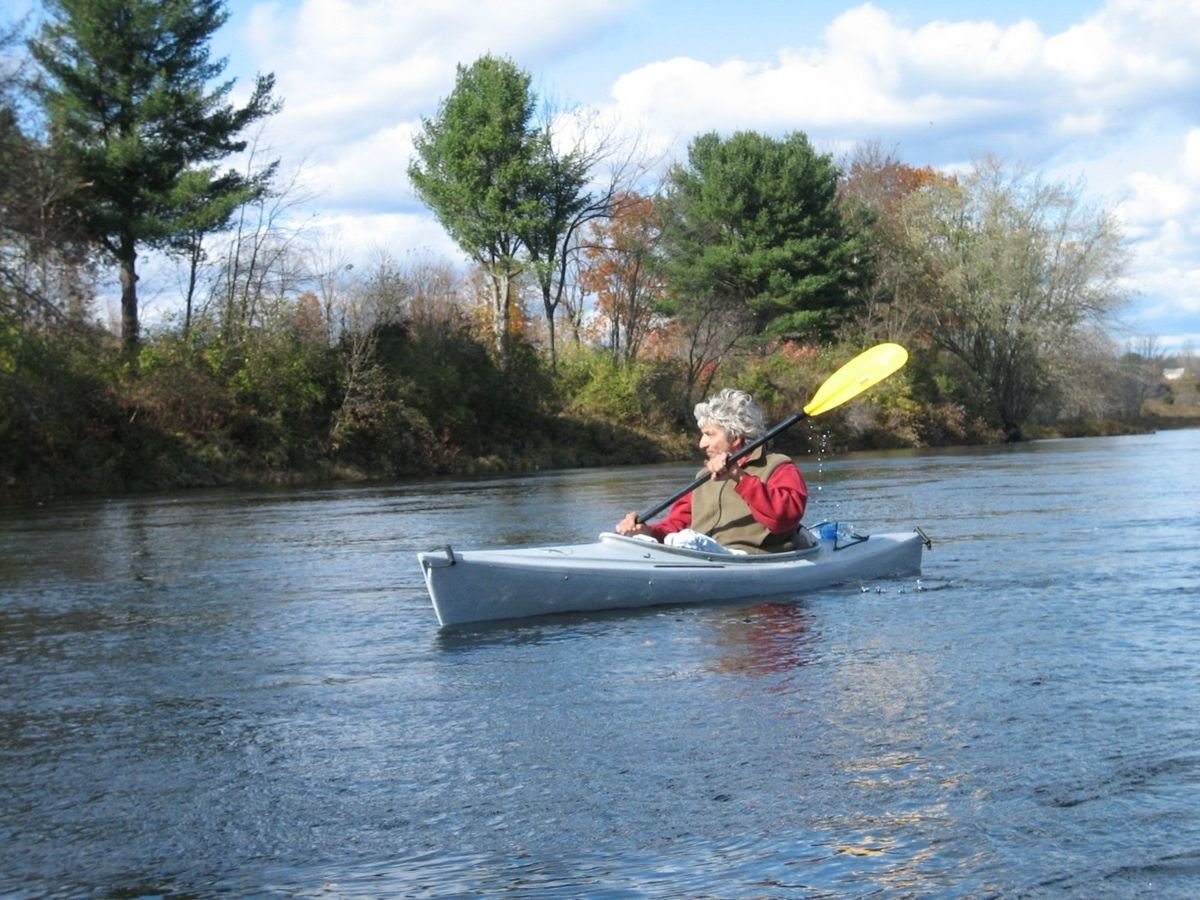
A lone canoer enjoys the scenery while paddling the Kennebec River.
Old Canada Road Scenic Byway

Canoeing the Kennebec River

Public Domain. Photo by user Mary Lou Ridley
Source & rights record ↗
Display changes: resized; some frames crop the image.
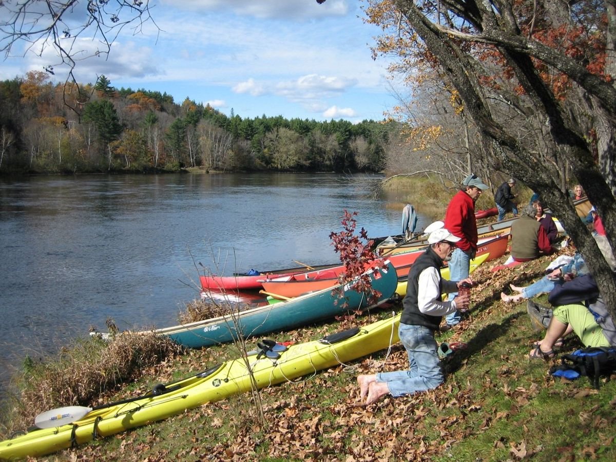
Some canoers socialize and prepare to go canoeing on the Kennebec River.
Old Canada Road Scenic Byway

Preparing to Canoe the Kennebec River

Public Domain. Photo by user Mary Lou Ridley
Source & rights record ↗
Display changes: resized; some frames crop the image.
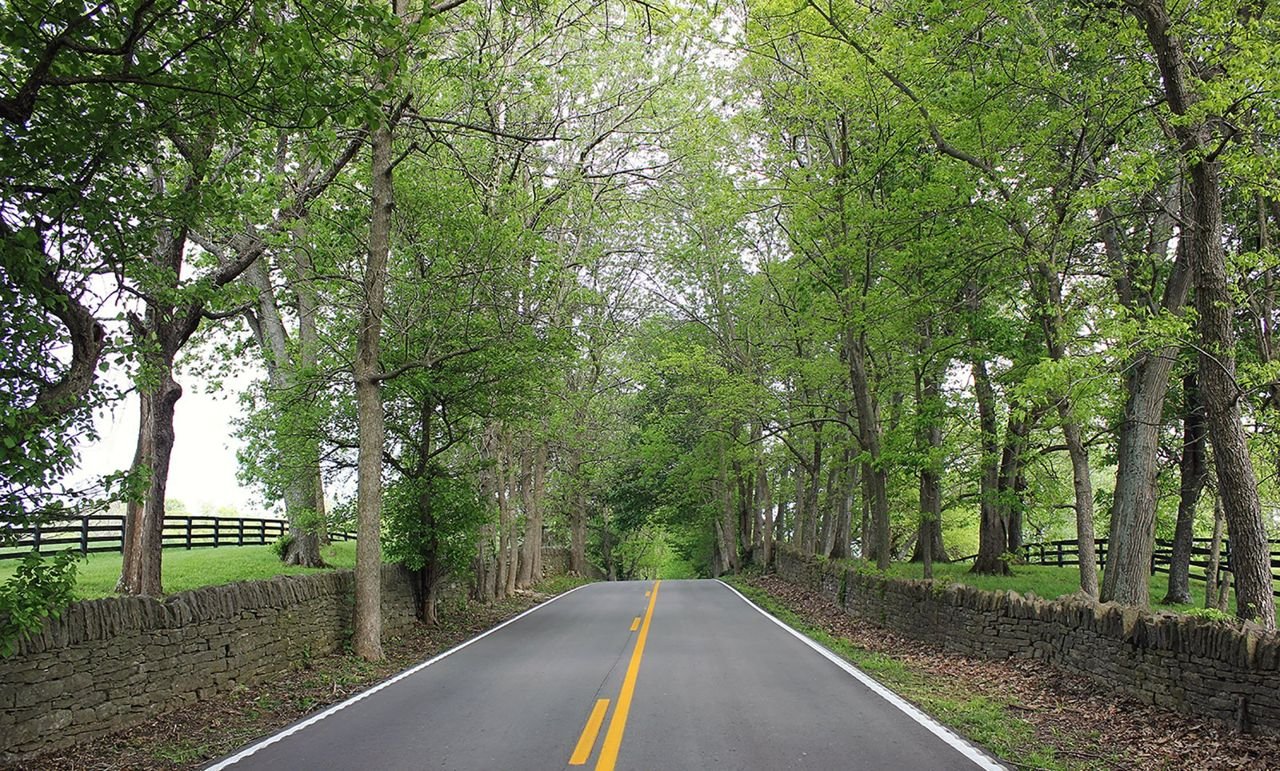
Untold years of travel along the route that originated as a buffalo trail or "trace", have carved the roadbed below the level of pastures along either side. Dry-laid limestone fences define the road’s tree-lined corridor.
Old Frankfort Pike Historic and Scenic Byway

F1a Old Frankfort Pike

Public Domain. Chris Amos
Source & rights record ↗
Display changes: resized; some frames crop the image.
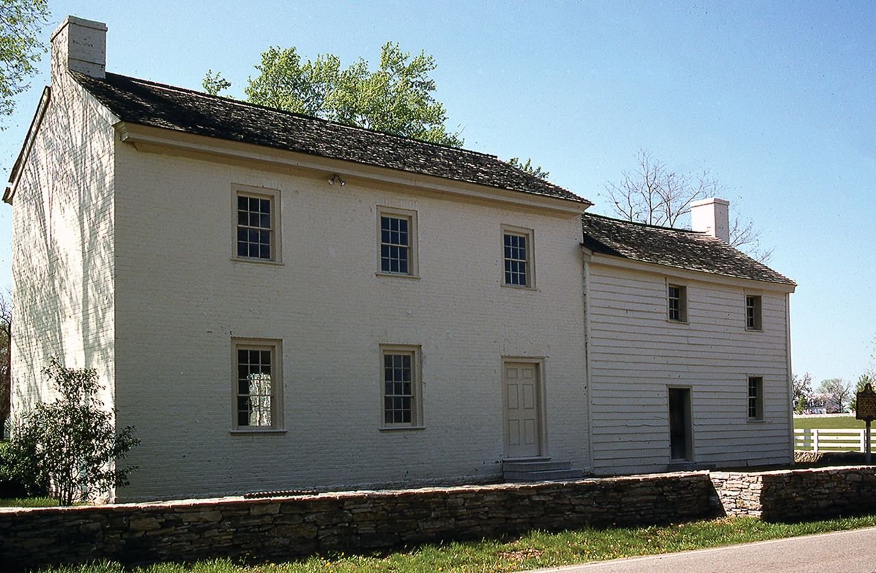
The oldest surviving community place on Old Frankfort Pike is the Offutt-Cole Tavern (aka Lee’s Tavern) at the Byway and US 62, Midway Pike in the Nugent's Crossroad Historic District. Since about 1799, the two-story log and brick building has anchored the crossroad as an inn and stage coach stop and later a tollgate house.
Old Frankfort Pike Historic and Scenic Byway

F4a Nugent's Crossroad Historic District

Public Domain. Chris Amos
Source & rights record ↗
Display changes: resized; some frames crop the image.
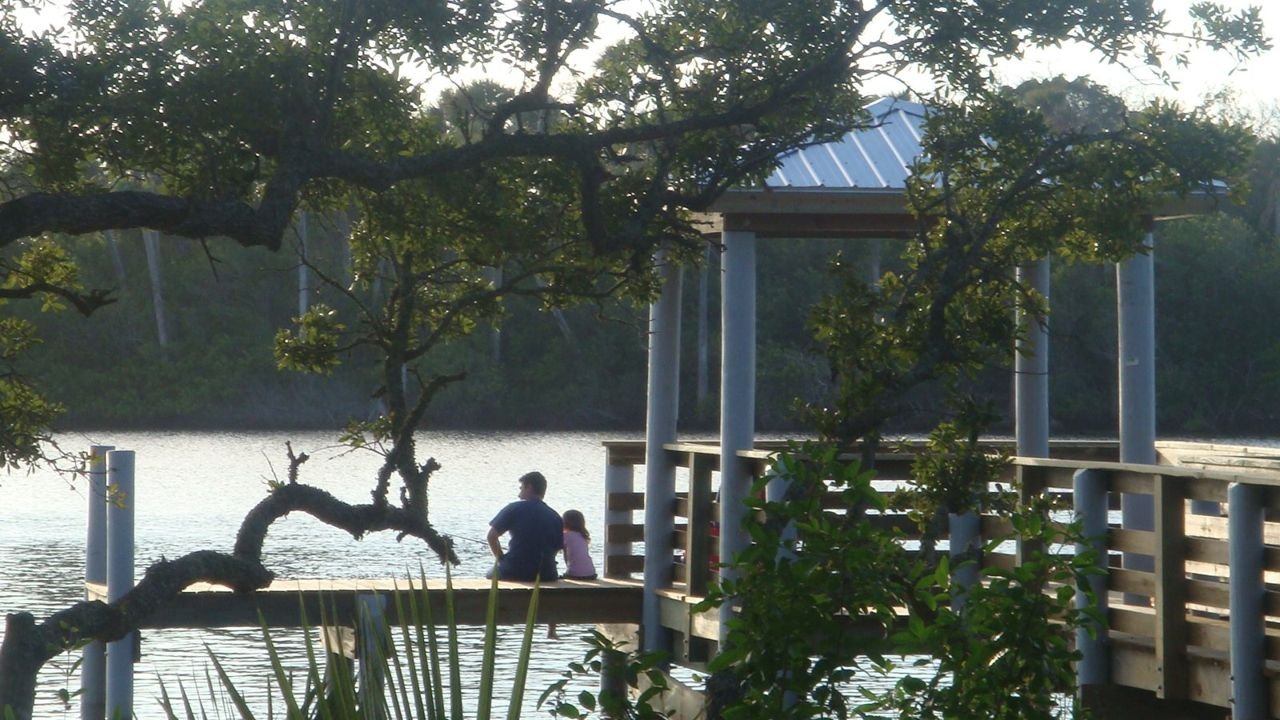
A father and his daughter sit at the dock of Seabridge Park, enjoying the calm waters and beautiful scenery.
Ormond Scenic Loop & Trail

Father and Daughter at Seabridge Park

Public Domain. Andy Nicol, TranSystems
Source & rights record ↗
Display changes: resized; some frames crop the image.
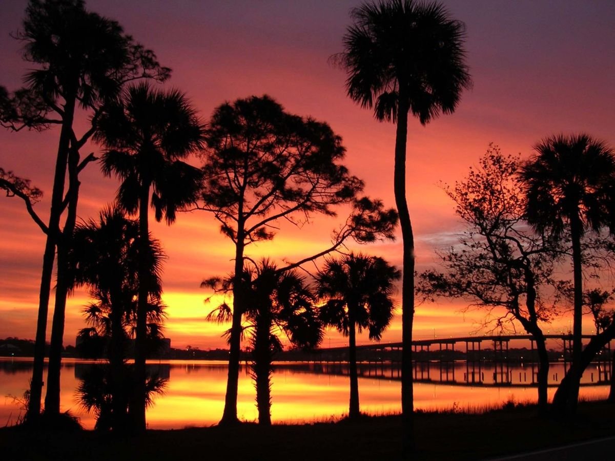
Tall trees stand silhouetted against a glorious Florida sunset, with the Granada Bridge reflected in the golden waters of the Intercoastal Waterway.
Ormond Scenic Loop & Trail

Granada Bridge Sunset

Public Domain.
Source & rights record ↗
Display changes: resized; some frames crop the image.
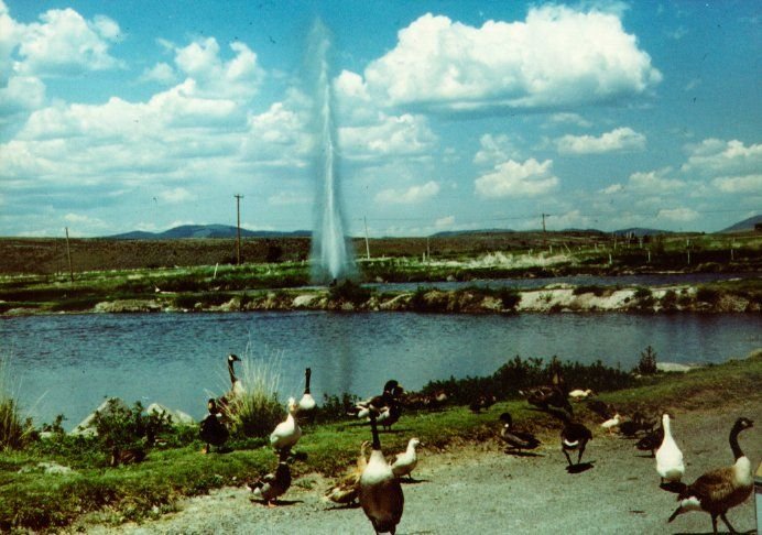
Near Lakeview, a flock of geese gather around Oregon\'s only geyser.
Outback Scenic Byway

Old Perpetual Geyser

Public Domain.
Source & rights record ↗
Display changes: resized; some frames crop the image.
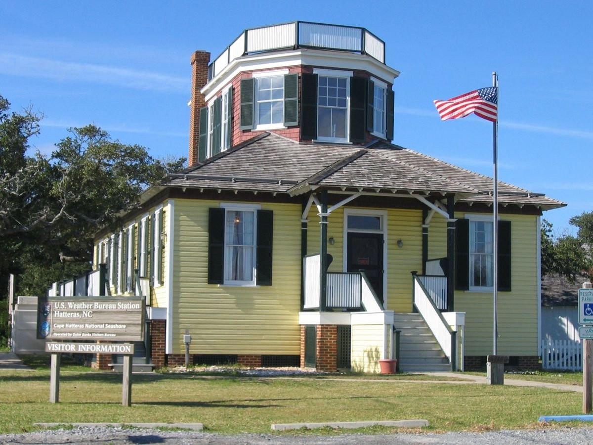
The enormous second-story railed belvedere atop the shingled hip roof of the first story of this odd-looking building along the Outer Banks Scenic Byway was the observation tower and deck for the U.S. Weather Service in 1902. Now the Hatteras Welcome Center, it has been restored to its original appearance with bright yellow clapboards on the first floor and red painted shingles visible between the dark-green shutters of the second story’s many windows.
Outer Banks Scenic Byway

Hatteras Village Welcome Center

Public Domain.
Source & rights record ↗
Display changes: resized; some frames crop the image.
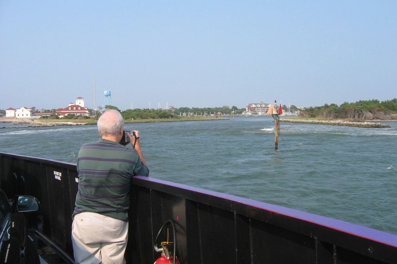
A summer visitor to the Outer Banks Scenic Byway engages in a favorite pastime on the ferry leaving Ocracoke’s Silver Lake, photographing the harbor and the enormous former U.S. Coast Guard Station, built in 1935.
Outer Banks Scenic Byway

Taking Photos from the Cedar Island Ferry

Public Domain.
Source & rights record ↗
Display changes: resized; some frames crop the image.
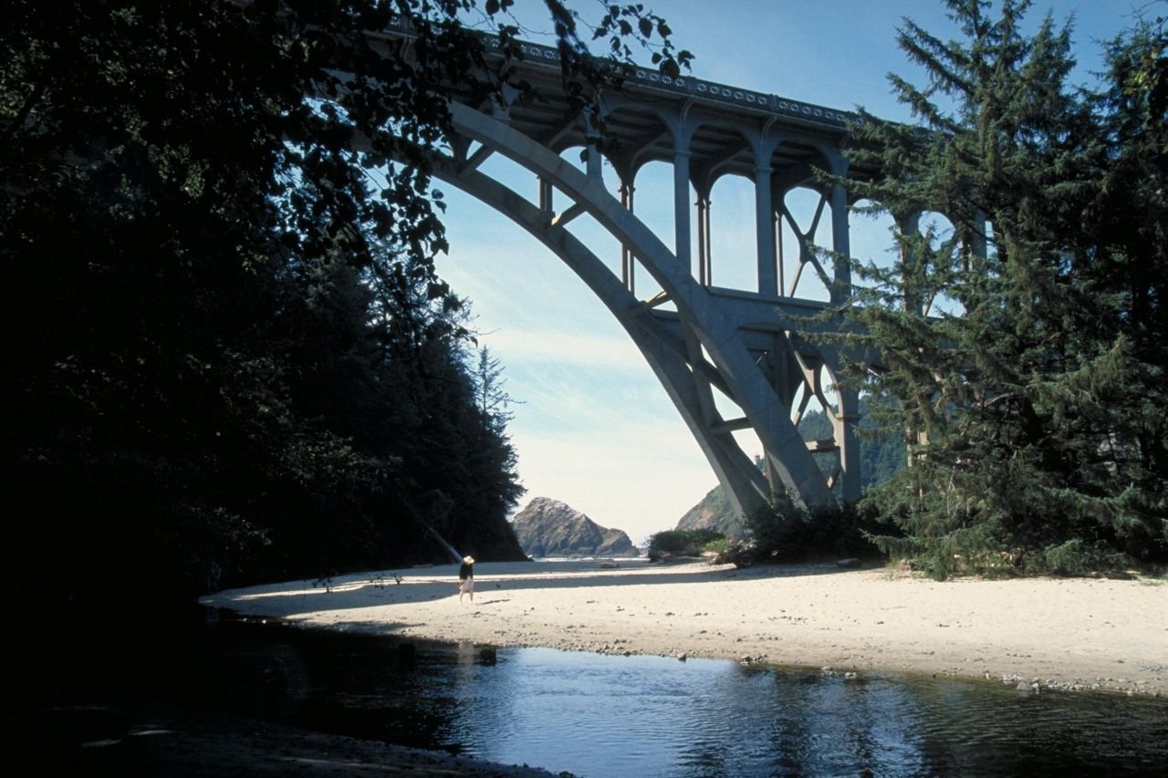
A visitor strolls on a sandy beach beneath an arch bridge on Oregon's Pacific Coast Scenic Byway.
Pacific Coast Scenic Byway - Oregon

Bridge on the Pacific Coast Scenic Byway

Public Domain. Photo by Dennis Adams
Source & rights record ↗
Display changes: resized; some frames crop the image.
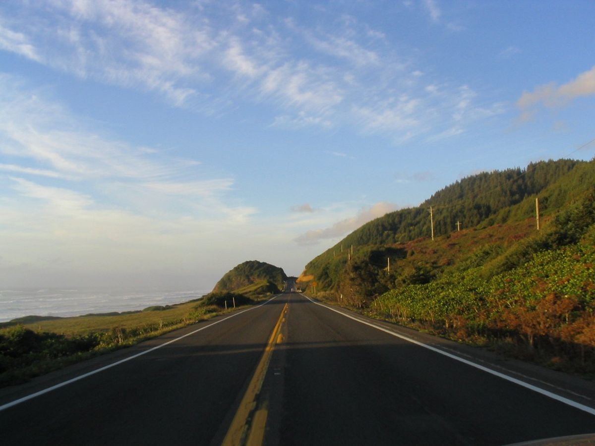
The Pacific Coast Scenic Byway in Oregon combines a drive along the beach with a drive through the forest.  The byway is bordered by the Pacific Ocean to the west and pine-covered mountains to the east.
Pacific Coast Scenic Byway - Oregon

Pacific Coast Scenic Byway in Oregon

Public Domain. Photo by Brett Hansen
Source & rights record ↗
Display changes: resized; some frames crop the image.
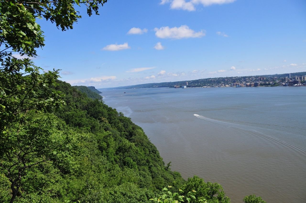
The view of the Hudson River from the top of the Palisades Long Path Trail offers a spectacular view of the valley and river.
Palisades Scenic Byway

Palisades Scenic Byway NJ - Hudson River from Top of Palisades

Public Domain. PIPC
Source & rights record ↗
Display changes: resized; some frames crop the image.
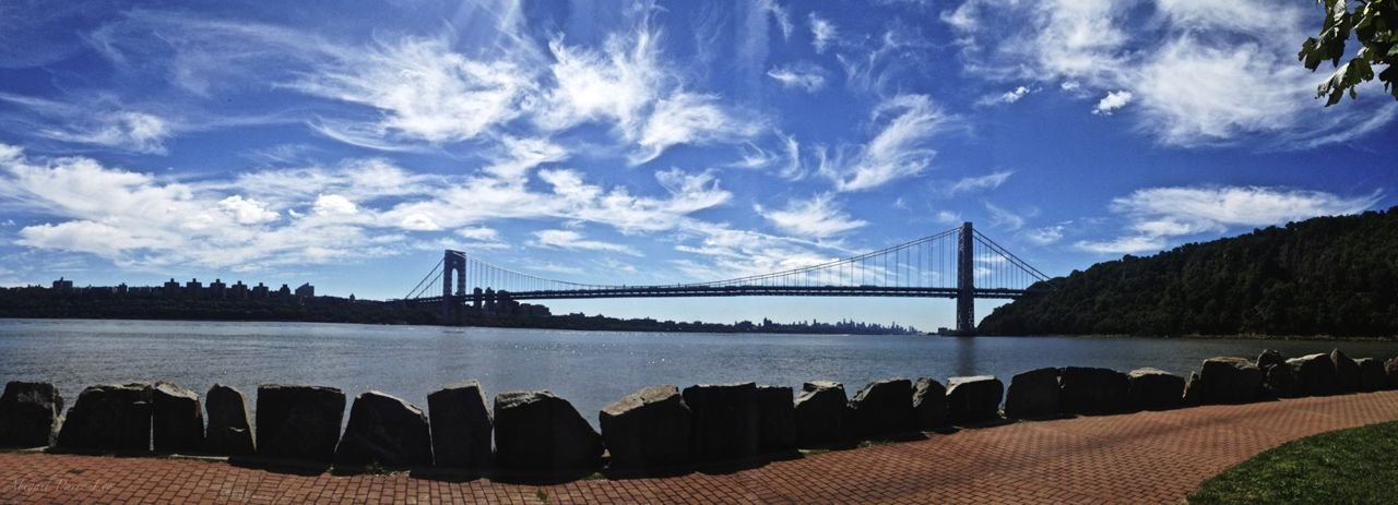
Ross Dock Picnic Area offers spectacular views of the Hudson River and the George Washington Bridge from water level.
Palisades Scenic Byway

Palisades Scenic Byway NJ - View from Ross Dock Picnic Area

Public Domain. PIPC
Source & rights record ↗
Display changes: resized; some frames crop the image.
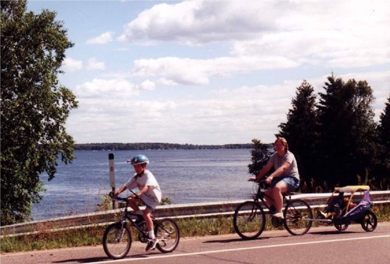
A family cycles past one of many lake views along Paul Bunyan Scenic Byway.
Paul Bunyan Scenic Byway

Family Bicycling Along Paul Bunyan Scenic Byway

Public Domain. Photo by Rod Nelson
Source & rights record ↗
Display changes: resized; some frames crop the image.
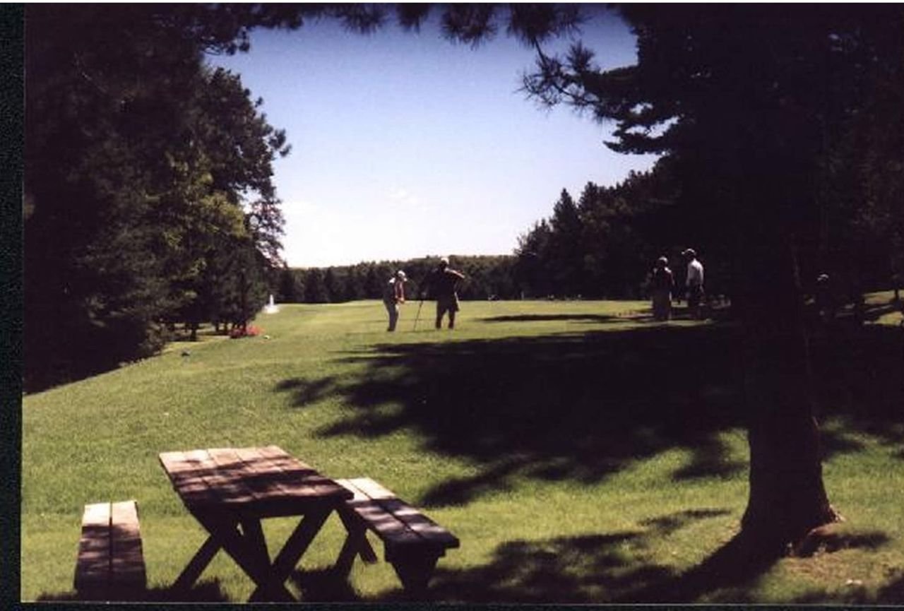
Two golfers set up a shot on one of the many courses along the Paul Bunyan Scenic Byway.
Paul Bunyan Scenic Byway

Golfing the Paul Bunyan Scenic Byway

Public Domain. Photo by Rod Nelson
Source & rights record ↗
Display changes: resized; some frames crop the image.
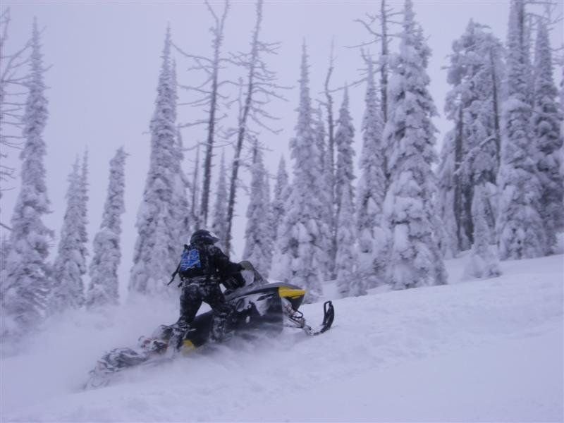
Snow covered trees provide a perfect backdrop for a snowmobiler near Trestle Creek on the Pend Oreille Scenic Byway.
Pend Oreille Scenic Byway

Snow-Covered Trees and Snowmobiling

Public Domain.
Source & rights record ↗
Display changes: resized; some frames crop the image.
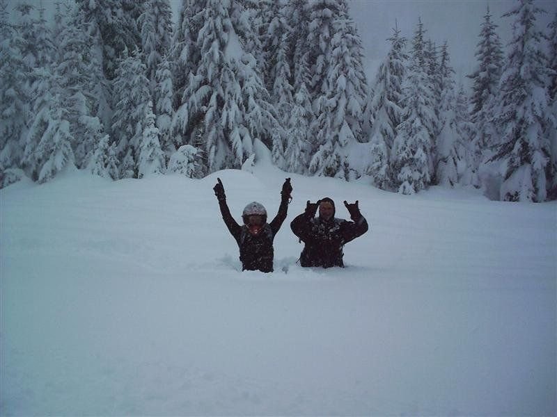
Up to their waists in snow, snowmobilers pose for a picture during a break from riding near the Pend Oreille Scenic Byway in Idaho
Pend Oreille Scenic Byway

Waist-deep in Trestle Creek

Public Domain.
Source & rights record ↗
Display changes: resized; some frames crop the image.
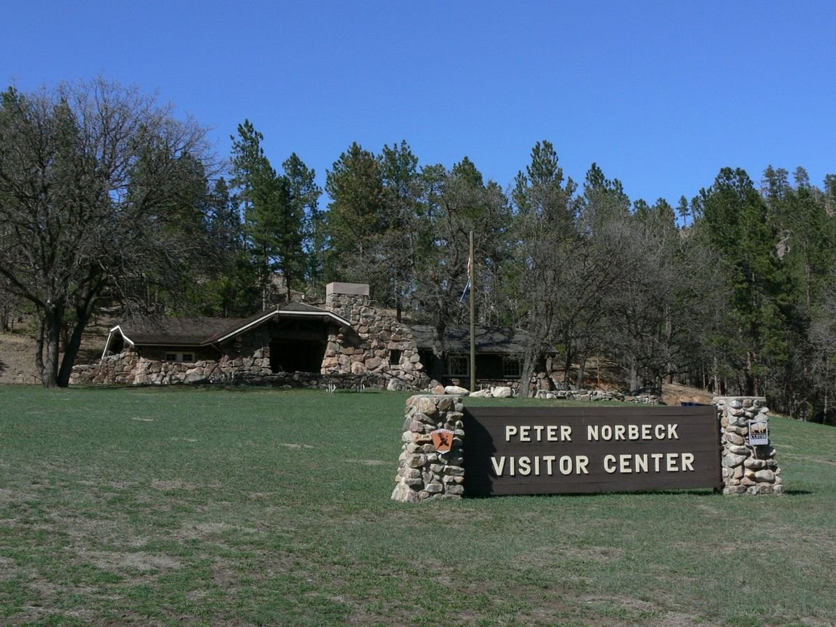
The Peter Norbeck Visitor Center blends into the natural landscape along the Peter Norbeck Scenic Byway.
Peter Norbeck Scenic Byway

Peter Norbeck Visitor Center

Public Domain. Photo by Stephen Keegan
Source & rights record ↗
Display changes: resized; some frames crop the image.
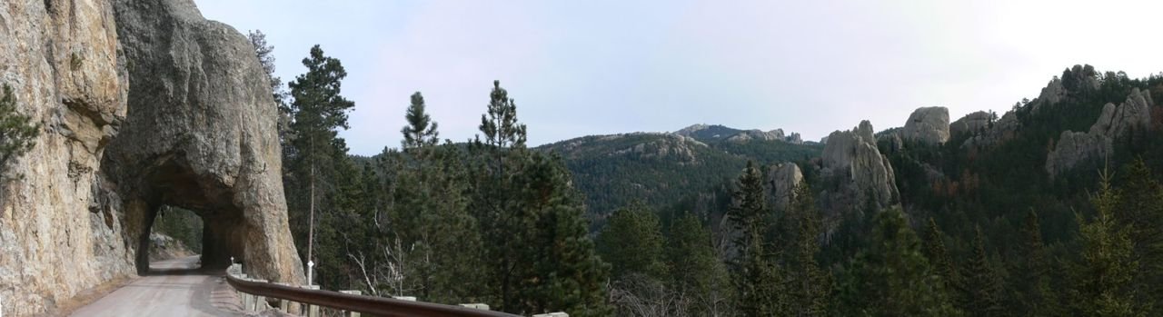
Framed by the thick evergreens of the Black Hills, Hwy. 87 follows a cliff face and even cuts through the mountain in places.
Peter Norbeck Scenic Byway

Tunnel on Hwy. 87 in South Dakota

Public Domain. Photo by Stephen Keegan
Source & rights record ↗
Display changes: resized; some frames crop the image.
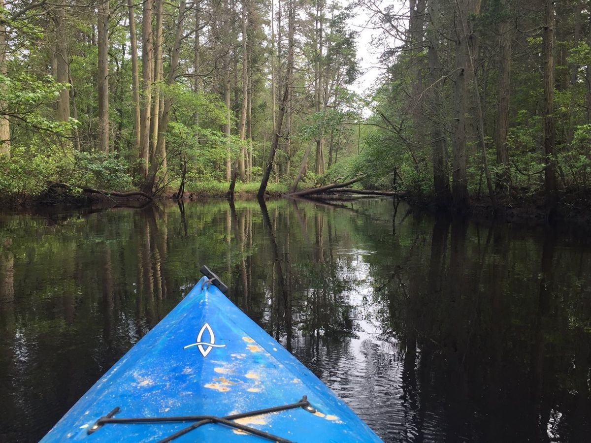
A kayaker glides along the slow-moving Mullica River, a 50-mile waterway that provides a serene setting for travelers on the New Jersey Pine Barrens Byway. Named after an early Finnish settler, the Mullica is a hotspot for kayaking and birdwatching.
Pine Barrens Byway

1-4 PineBarrensByway

Public Domain. New Jersey Pinelands Commission
Source & rights record ↗
Display changes: resized; some frames crop the image.
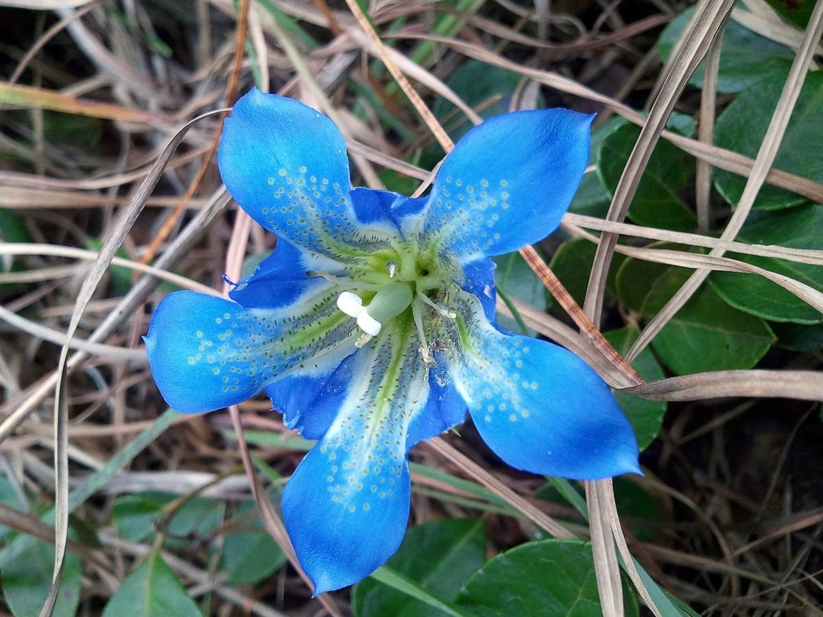
Deep blue Pine Barrens Gentians are among the rare plant species that thrive along roadsides in areas of the 122,880-acre Wharton State Forest. Gentians bloom as late as November, providing travelers on the Pine Barrens Byway with a final flourish of color.
Pine Barrens Byway

F1bPineBarrensGentian_Pine Barrens BWY-NJ

Public Domain. New Jersey Pinelands Commission
Source & rights record ↗
Display changes: resized; some frames crop the image.

The long valley of the Bear River stretches east toward the mountains, as seen from the upper parking area of the Bear River Massacre National Historic Site.
Pioneer Historic Byway

Bear River Valley East from National Historic Site

Public Domain. Photo by A. E. Crane
Source & rights record ↗
Display changes: resized; some frames crop the image.
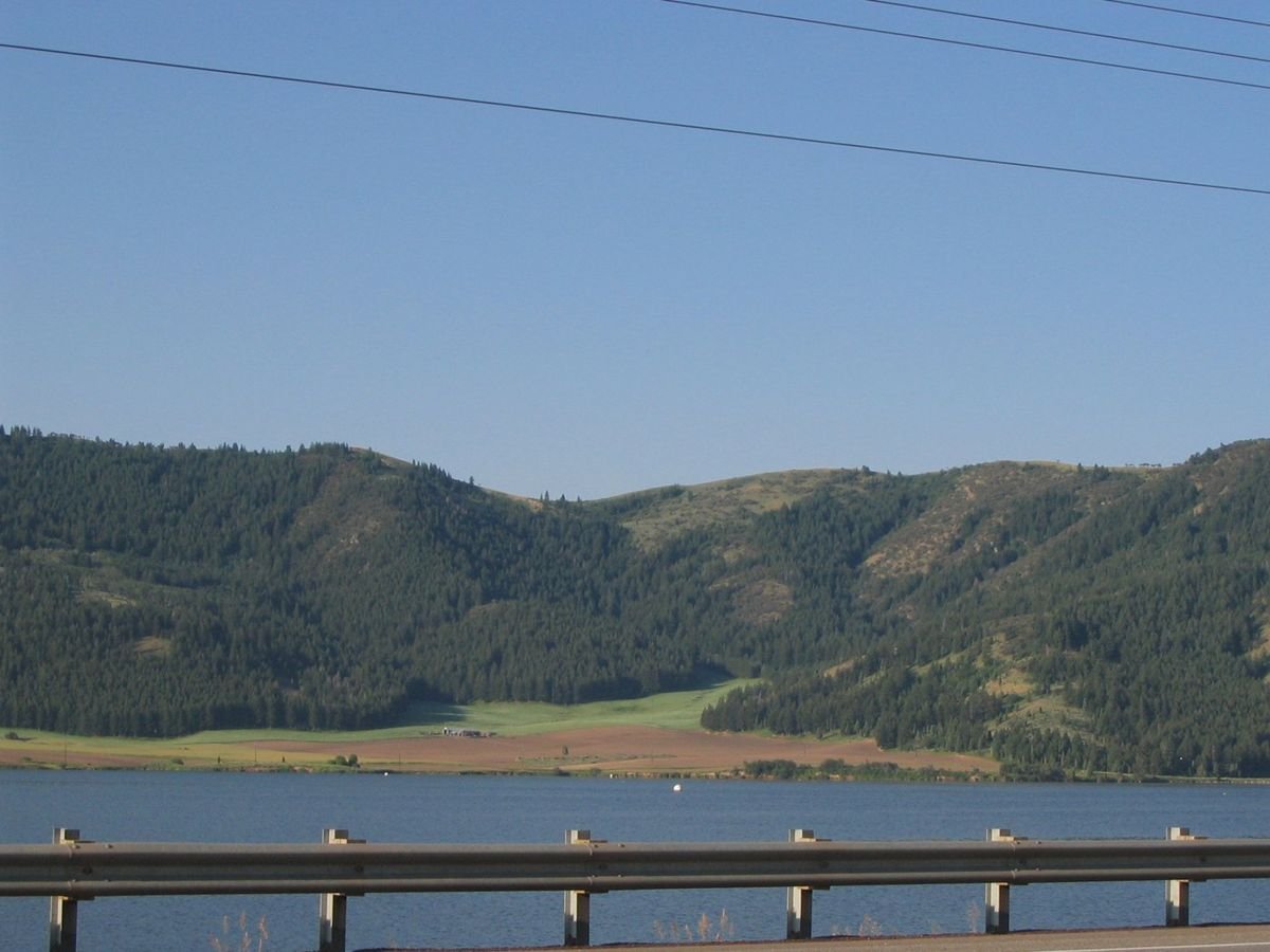
A railing beside the highway seems to hold in the water that surrounds the mountain base.
Pioneer Historic Byway

Bridge Guards and Water

Public Domain. Photo taken by Tony Varilone
Source & rights record ↗
Display changes: resized; some frames crop the image.
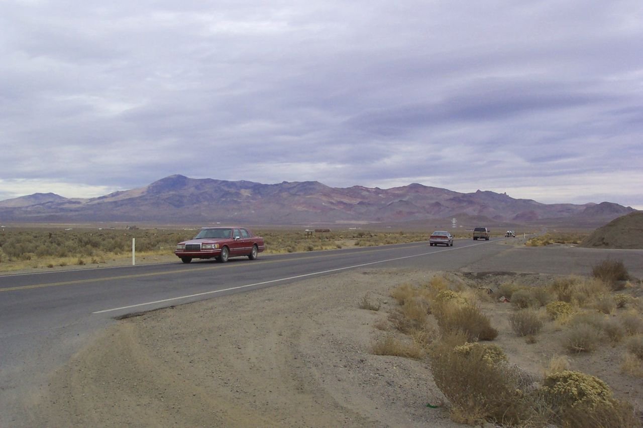
A driver roadtrips down the lonely Byway.
Pyramid Lake Scenic Byway

A Car Drives the Pyramid Lake Scenic Byway

Public Domain. Photo by Charlotte Larson of NSBO
Source & rights record ↗
Display changes: resized; some frames crop the image.
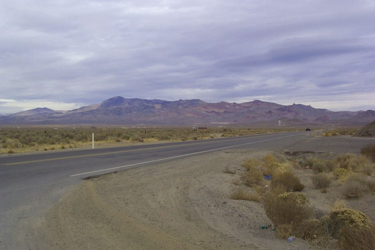
Pyramid Lake Scenic Byway affords grand mountain views.
Pyramid Lake Scenic Byway

The Byway and Surrounding Mountain Ranges

Public Domain. Photo by Charlotte Larsen of NSBO
Source & rights record ↗
Display changes: resized; some frames crop the image.
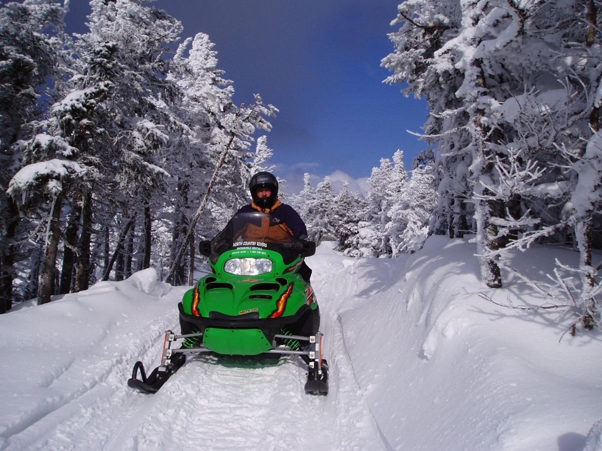
A rider in a bright green sled takes to a narrow trail near Rangeley Lakes Scenic Byway.
Rangeley Lakes Scenic Byway

Exploring the Backcountry on Perfect Trails

Public Domain. North Country Rivers Bingham ME
Source & rights record ↗
Display changes: resized; some frames crop the image.
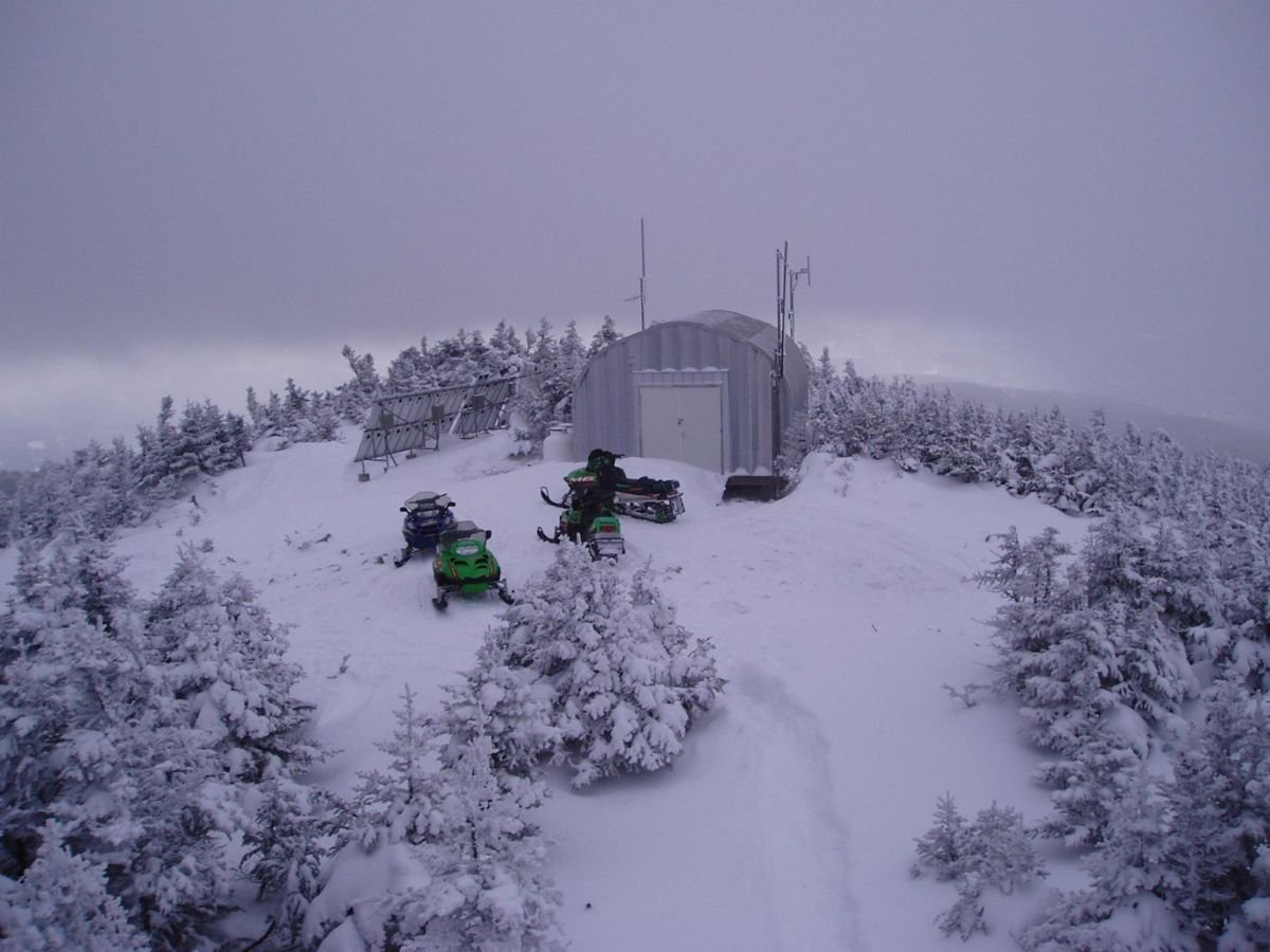
A small cluster of snowmobiles wait near a shed among snow-blanketed conifers.
Rangeley Lakes Scenic Byway

Trails End Atop a Snow-capped Mountain

Public Domain. North Country Rivers Bingham ME
Source & rights record ↗
Display changes: resized; some frames crop the image.
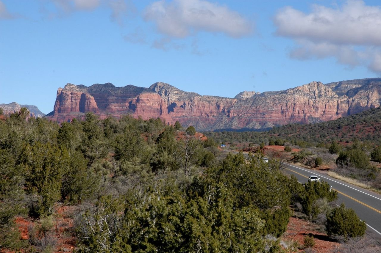
Scrub brush lines the roadway of the Red Rocks Scenic Byway.
Red Rock Scenic Byway

Gateway to the Red Rocks

Public Domain. Photo by Bill Kusner
Source & rights record ↗
Display changes: resized; some frames crop the image.

Red rocks form a backdrop for the Verde River Run participants.
Red Rock Scenic Byway

Verde River Run

Public Domain. Photo by Barbara Litrell, Zona Fink, and Nancy Brown
Source & rights record ↗
Display changes: resized; some frames crop the image.
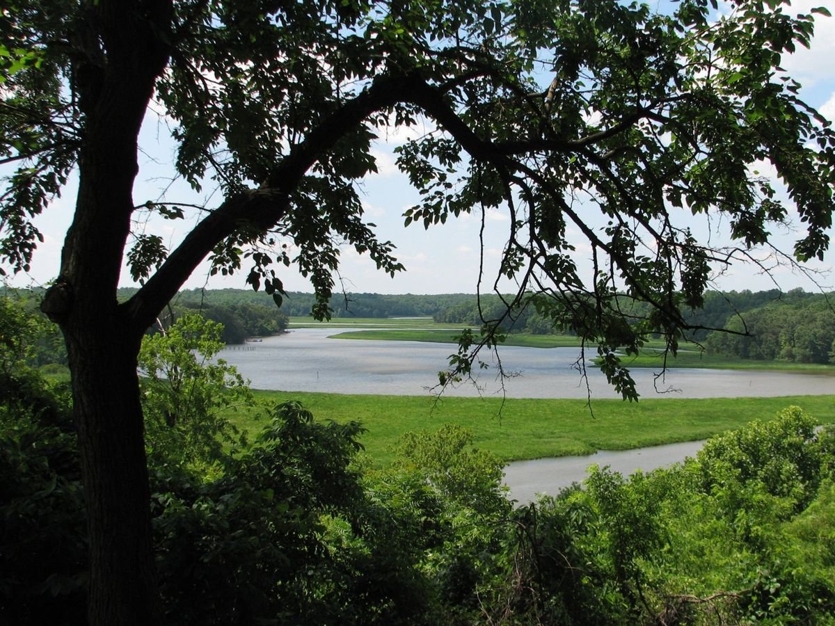
The view from Friendship Farm Park is one of the finest in Southern Maryland, and it provides a very similar view to what early settlers would have seen-- lush greens and meandering waters-- from the bluff overlooking the Tobacco River.
Religious Freedom Byway

View from Friendship Farm Park

Public Domain. Photograph by Lardner/Klein Landscape Architects, P.C.
Source & rights record ↗
Display changes: resized; some frames crop the image.
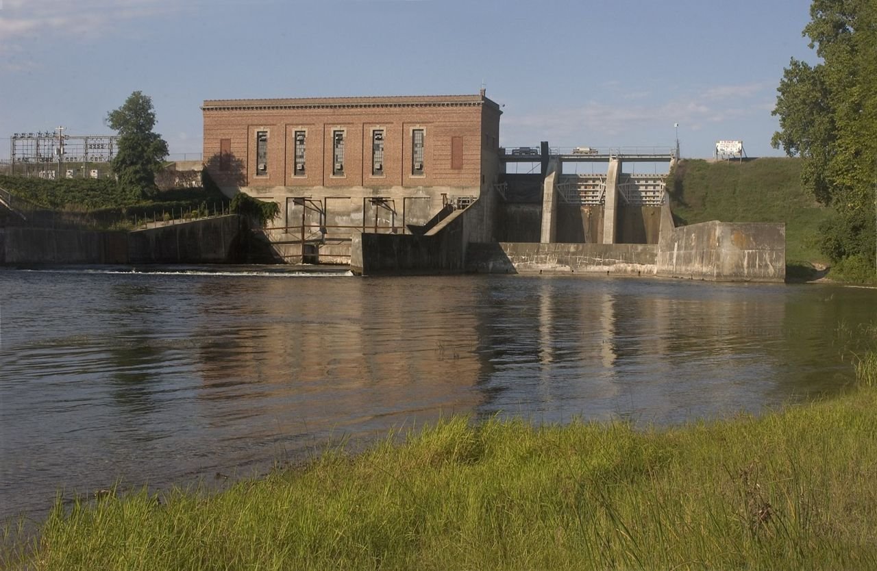
A weathered hydroelectric building associated with Foote Dam operations stands in the distance. The dam is on the AuSable River on the River Road Scenic Byway.
River Road Scenic Byway

Hydroelectric Building on Foote Dam

Public Domain. Photo courtesy of Consumers Energy
Source & rights record ↗
Display changes: resized; some frames crop the image.
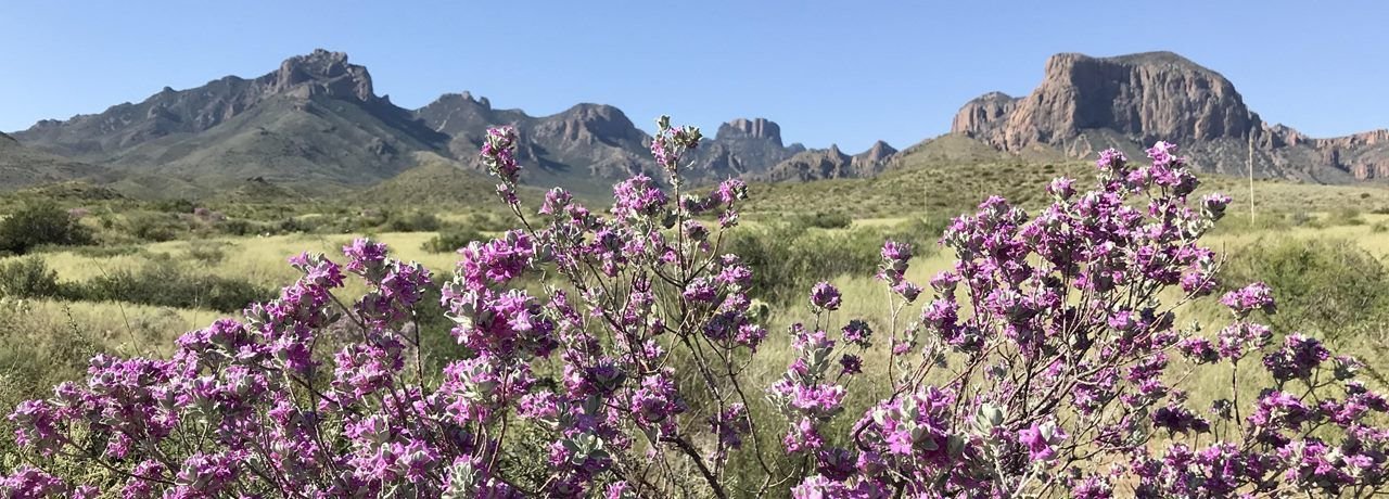
Blooming Cenizo
River Road · Camino del Rio

Big Bend National Park

NPS · Public domain, NPS
Source & rights record ↗
Display changes: resized; some frames crop the image.
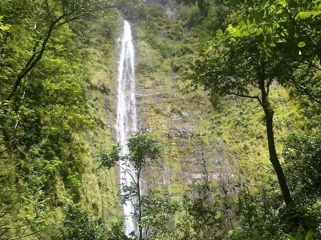
Waimoku waterfall in the park's Kipahulu District
Road to Hāna

Haleakalā National Park

NPS · Public domain, NPS
Source & rights record ↗
Display changes: resized; some frames crop the image.
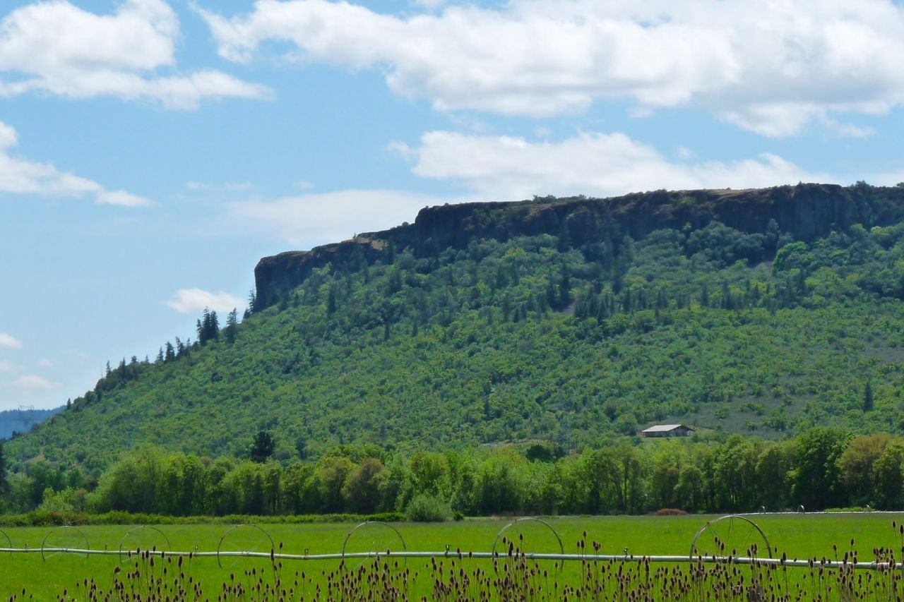
Hike up one of the two scenic mesas, Lower and Upper Table Rocks, for a panoramic view of the Rogue Valley and surrounding mountains.
Rogue-Umpqua Scenic Byway

Lower Table Rock in the Spring

Public Domain. Photo courtesy of John Sloan
Source & rights record ↗
Display changes: resized; some frames crop the image.
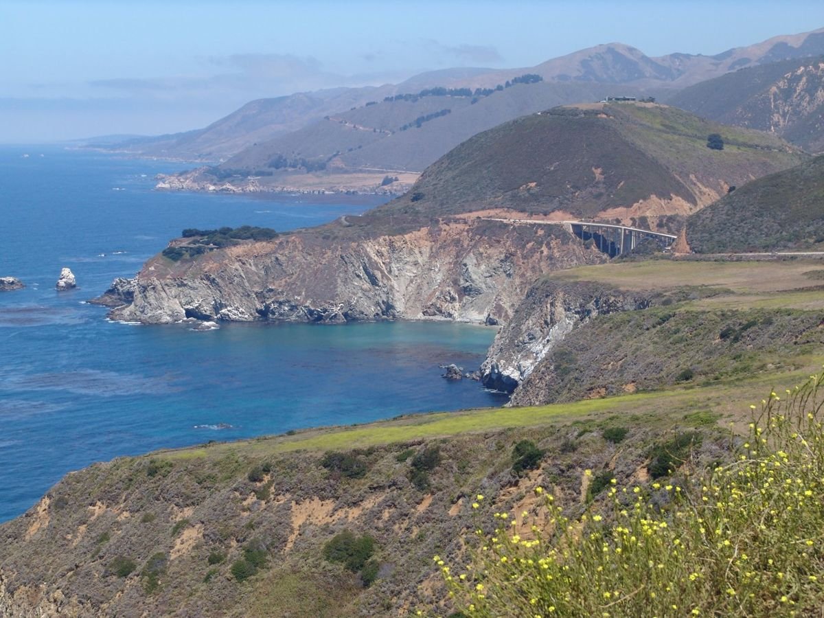
Hurricane Point on the Big Sur Highway offers a splendid view of the deep azure waters and grand mountainsides of the Pacific coastline in spring.
Route 1 - Big Sur Coast Highway

Hurricane Point

Public Domain. Photo by Martha Alejandre
Source & rights record ↗
Display changes: resized; some frames crop the image.
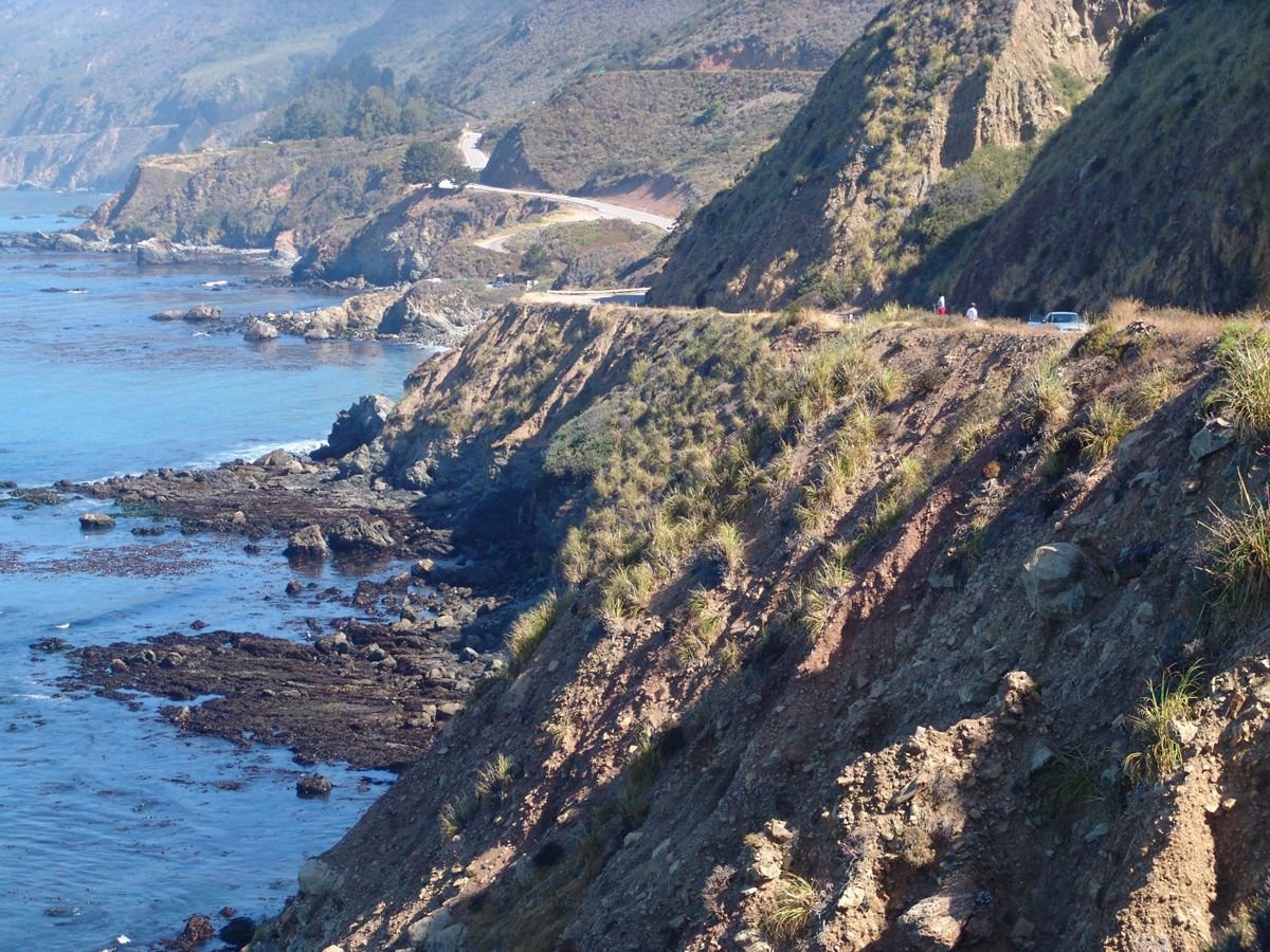
Every bend of the San Luis Obispo Highway is full of absurdly beautiful plunging cliffs and deep blue ocean views.
Route 1 - San Luis Obispo North Coast Byway

Meandering San Luis Obispo North Coast Byway

Public Domain. Photo by Martha Alejandre
Source & rights record ↗
Display changes: resized; some frames crop the image.
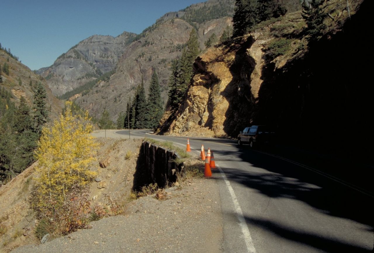
Slight road damage, marked by orange cones, makes the passage around this mountain quite narrow.
San Juan Skyway

Road Damage on the San Juan Skyway

Public Domain. Photo by Dennis Adams
Source & rights record ↗
Display changes: resized; some frames crop the image.
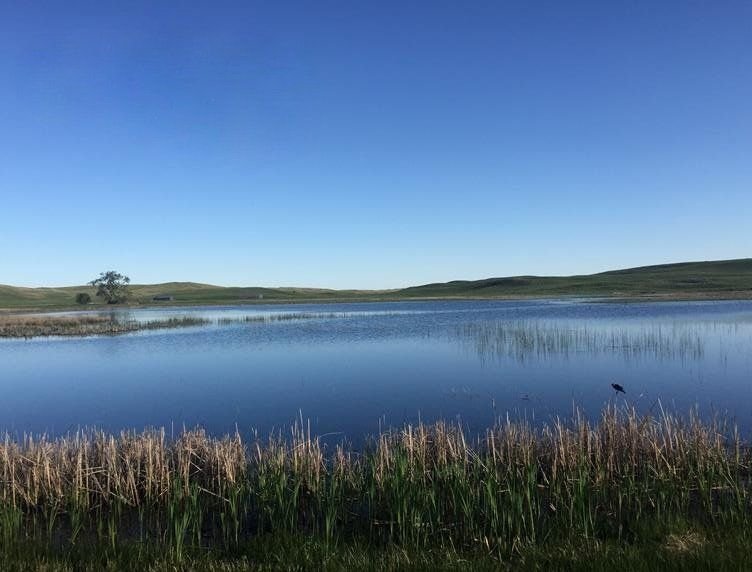
Wetlands dot the landscape throughout the Sandhills Journey Scenic Byway. These meadows and wetlands provide important habitat for a variety of birds and wildlife.
Sandhills Journey Scenic Byway

Wetland Meadow

Public Domain. Twila Phillips
Source & rights record ↗
Display changes: resized; some frames crop the image.
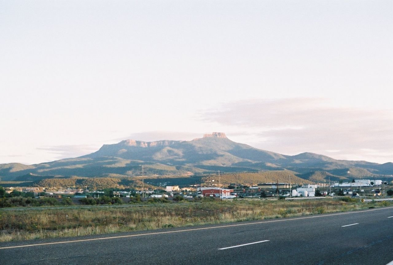
Fishers Peak can be seen from the highway as clouds haze around the mountain.
Santa Fe Trail

View of Fishers Peak

Public Domain. Photo by Wyvonne Phillips Graham
Source & rights record ↗
Display changes: resized; some frames crop the image.
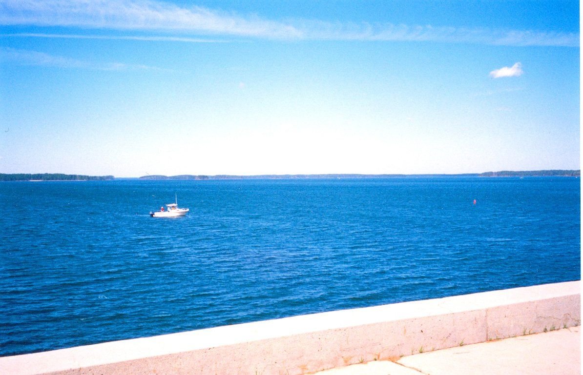
Boaters enjoy a beautiful, clear day on J. Strom Thurmond Lake on the Savannah River Scenic Byway.
Savannah River Scenic Byway

J. Strom Thurmond Lake

Public Domain. Photo by Kellie Thorne of NSBO
Source & rights record ↗
Display changes: resized; some frames crop the image.
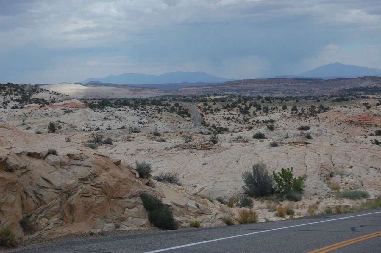
A serene landscape of sandstone stretches as far as the eye can see in the area near the Escalante River and Escalante Canyons of Utah.
Scenic Byway 12

Breathtaking View from Scenic Byway 12 (UT)

Public Domain. Photo by Jessica Dungan
Source & rights record ↗
Display changes: resized; some frames crop the image.
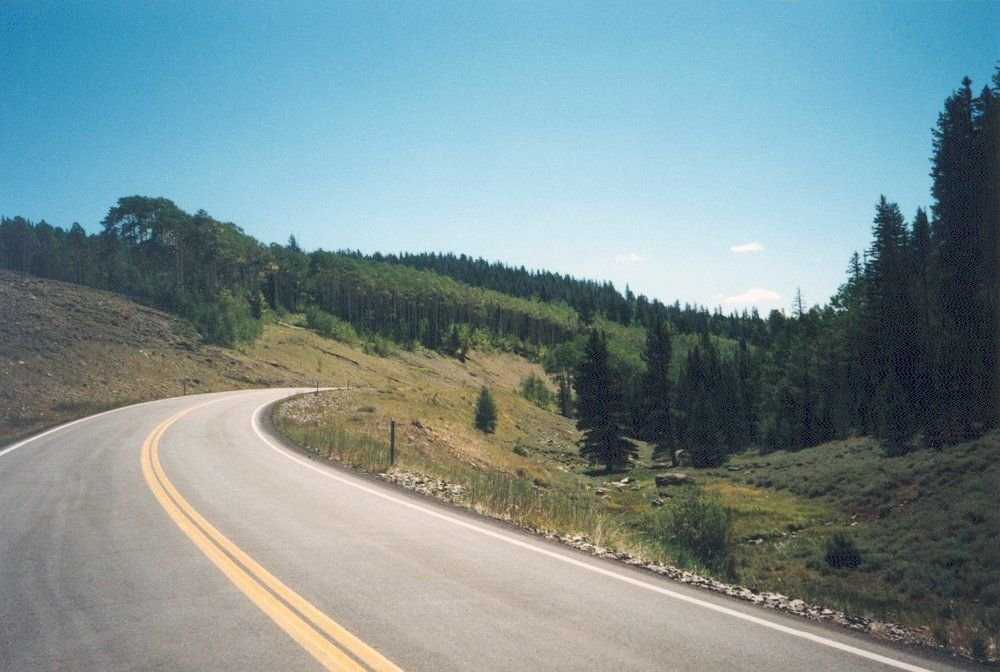
Scenic Byway 12 curves on its way to Panguitch.
Scenic Byway 143 - Utah's Patchwork Parkway

Curving Road on the Way to Panguitch

Public Domain. Photo by A. E. Crane
Source & rights record ↗
Display changes: resized; some frames crop the image.
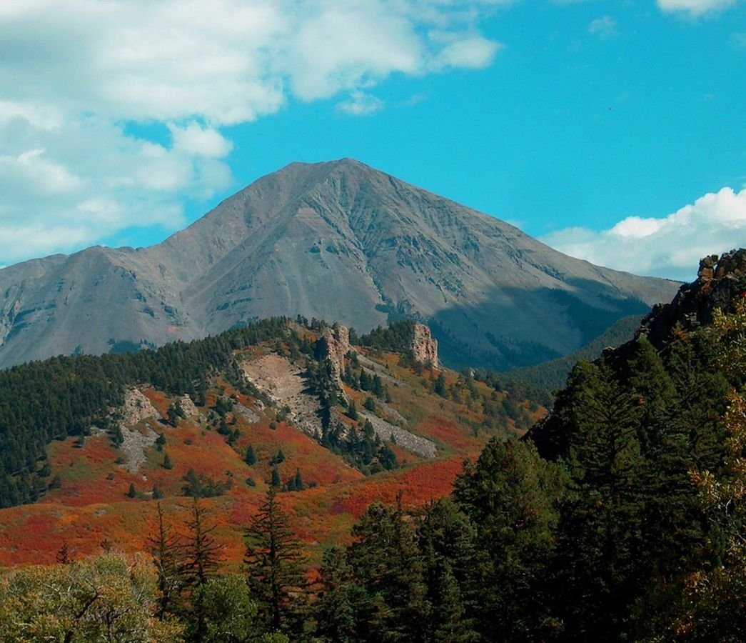
West Spanish Peak with red and orange scrub oak at the
base of the igneous dikes along the Scenic Highway of
Legends
Scenic Highway of Legends

West Spanish Peaks in Fall

Public Domain. Pat Newell
Source & rights record ↗
Display changes: resized; some frames crop the image.
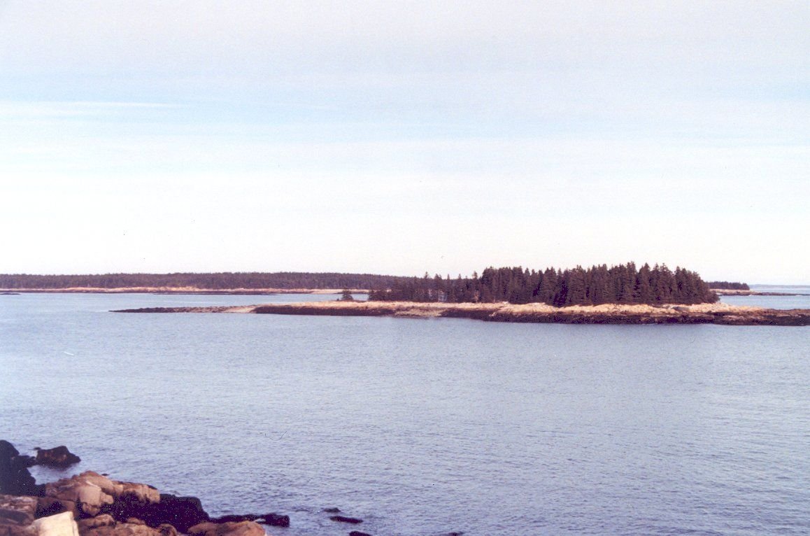
Near the end of Schoodic Point Road, the ocean comes close to the road, and there is a clear view of a flat, forested island.
Schoodic Scenic Byway

View From Schoodic Point Road

Public Domain. Photo by David Kennedy
Source & rights record ↗
Display changes: resized; some frames crop the image.
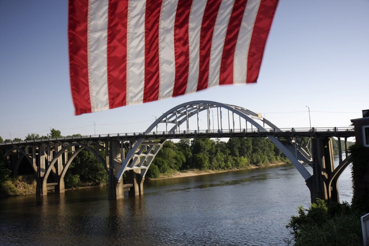
The red and white stripes of the American flag hang over a view of the Edmund Pettus Bridge crossing the Alabama River in the distance.
Selma to Montgomery March Byway

Flag Framing Edmund Pettus Bridge

Public Domain. Courtesy of Alabama Tourism Department
Source & rights record ↗
Display changes: resized; some frames crop the image.
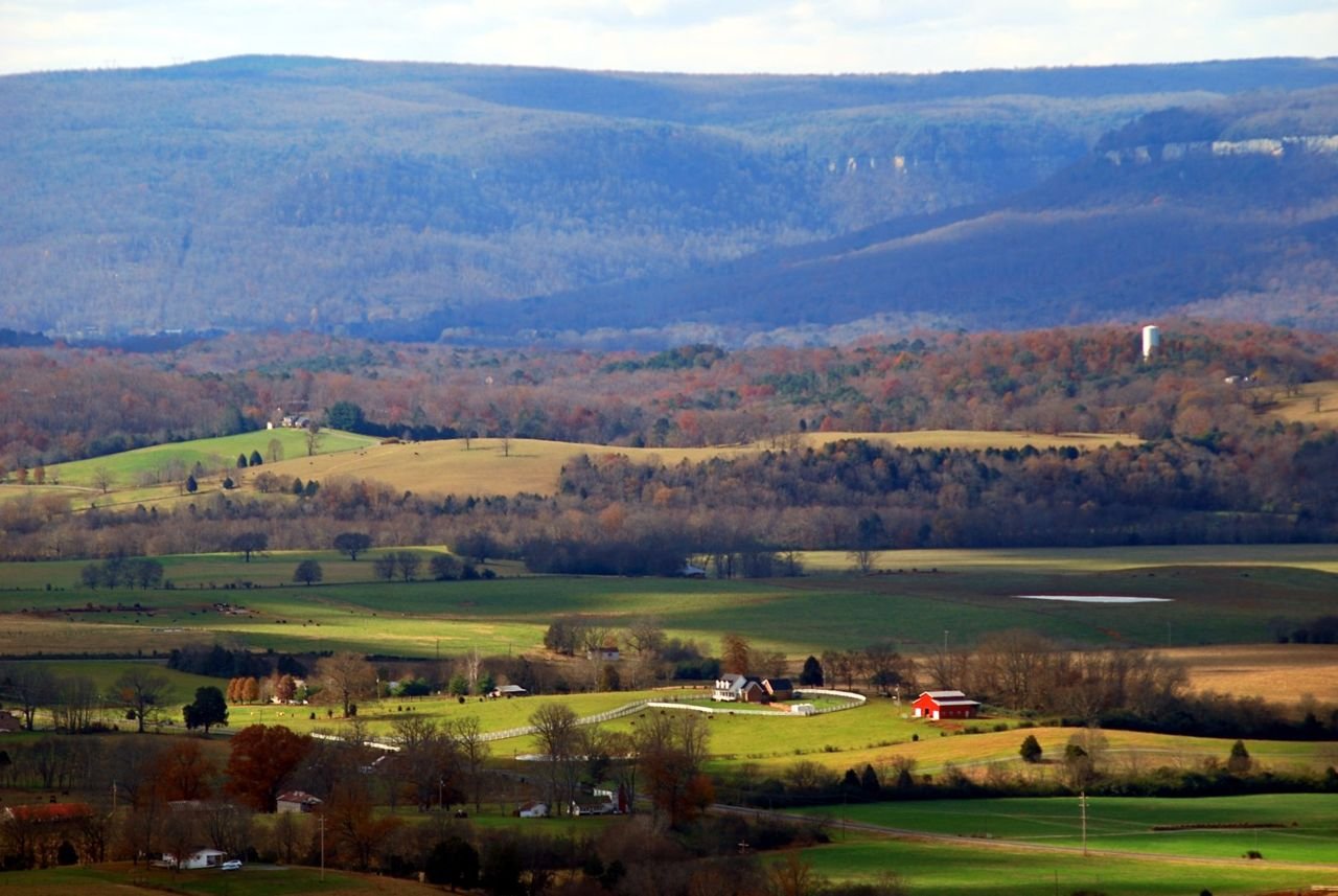
jpg
Sequatchie Valley Scenic Byway

1-4SequatchieValley

Public Domain.
Source & rights record ↗
Display changes: resized; some frames crop the image.
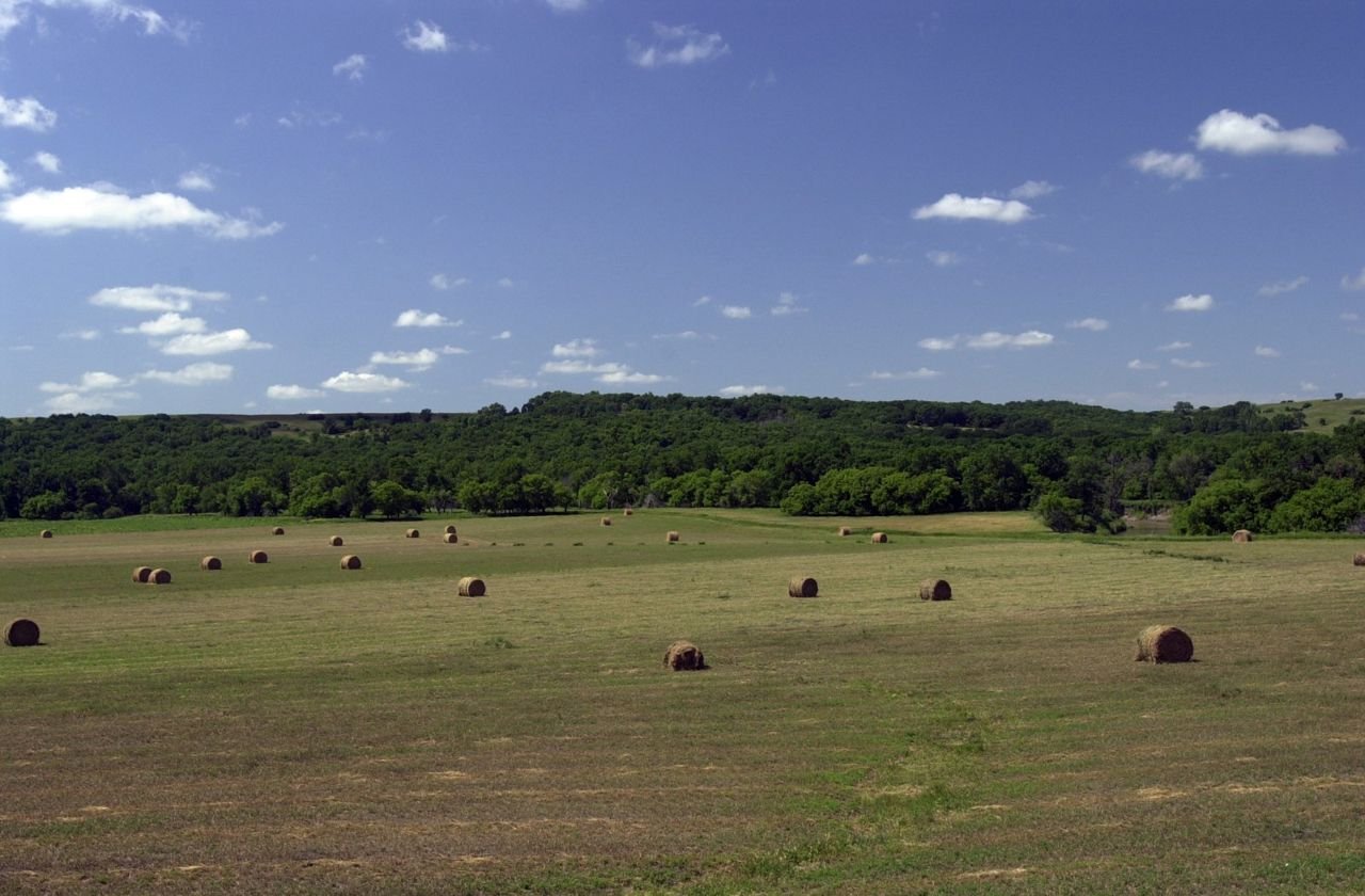
Bales of hay like giant rolls sit drying in a hayfield on the Sheyenne River Valley Scenic Byway somewhere north of the Preston Church site.
Sheyenne River Valley Scenic Byway

Rolled Hay in Field on County Road 13

Public Domain. Photo by Mat Leffler-Schulman of FHWA
Source & rights record ↗
Display changes: resized; some frames crop the image.
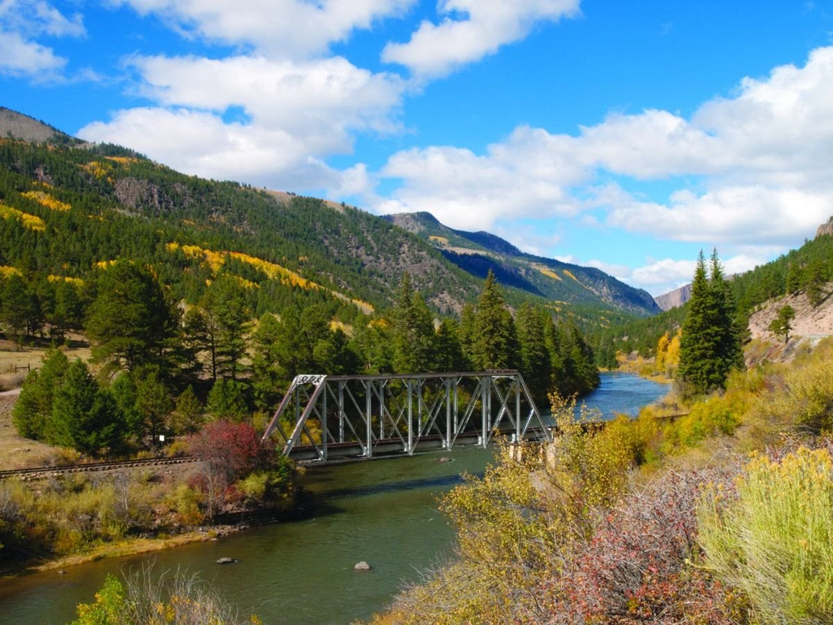
Denver & RIo Grande Rail Road bridge over the Rio Grande River during the fall.
Silver Thread Colorado Scenic & Historic Byway

Fall Colors Between South Fork and Creede

Public Domain. David Clark
Source & rights record ↗
Display changes: resized; some frames crop the image.
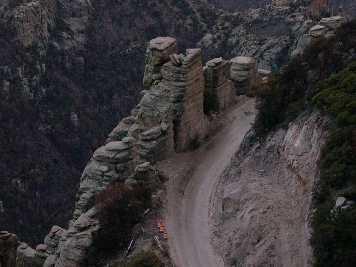
The Sky Island Parkway features a daunting view of the sheer cliffs that line the highway. Road-construction cones warn drivers away from a damaged railing in this photo.
Sky Island Scenic Byway

Steep Cliffs along the Sky Island Parkway

Public Domain.
Source & rights record ↗
Display changes: resized; some frames crop the image.
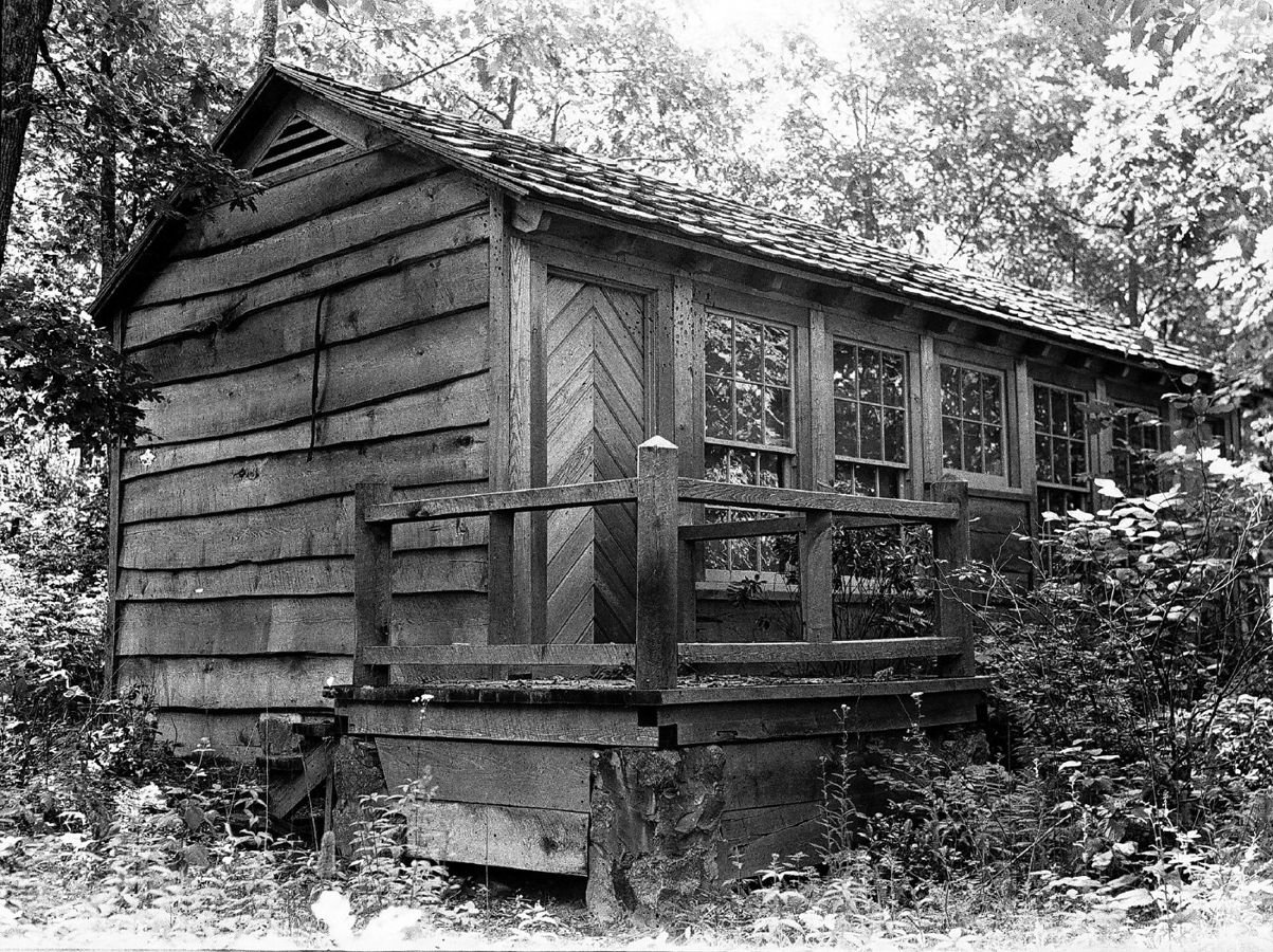
This black and white photo depicts one of the early Lewis Mountain cabins.
Skyline Drive

Lewis Mountain Cabin

Public Domain. Courtesy of Shenandoah National Park
Source & rights record ↗
Display changes: resized; some frames crop the image.
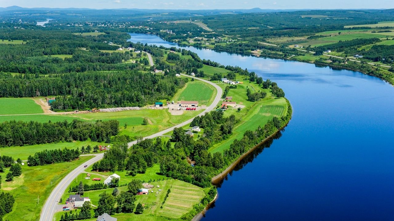
Far reaching aerial view of the deep blue highway and undulating St. John River – the international boundary – looking westward on a beautiful summer day. US Route 1 hugs the river’s south shore winding by scattered buildings and a patchwork of greens.
St. John Valley Cultural Byway/Fish River Scenic Byway

F4cSt.JohnRiverInternationalBorder

Public Domain. Paul Cyr
Source & rights record ↗
Display changes: resized; some frames crop the image.
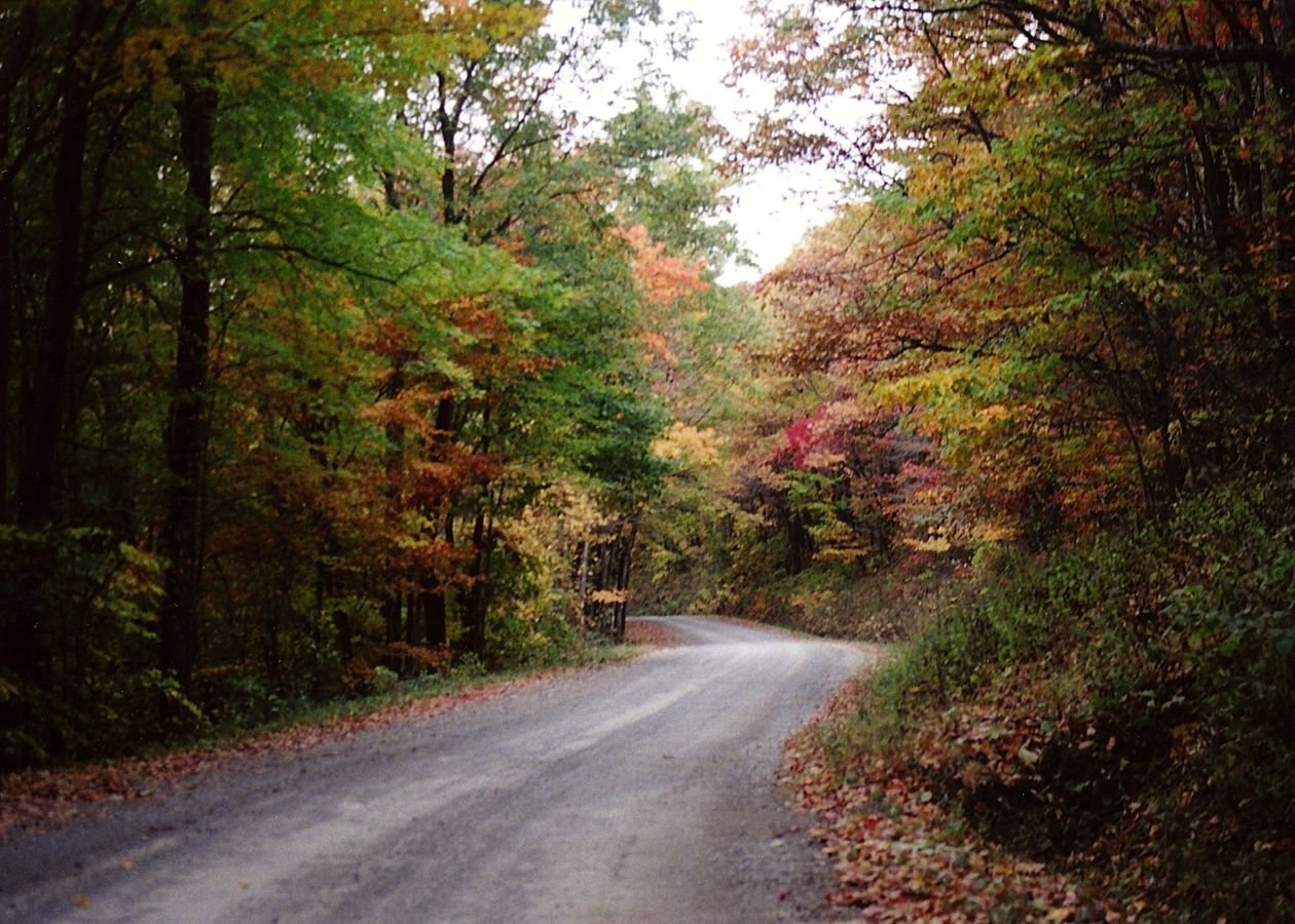
Fall-touched trees encasing the byway invoke mountain beauty on this historic path.
Staunton-Parkersburg Turnpike

Rich Mountain Backway

Public Domain. Staunton-Parkersburg Turnpike Alliance.
Source & rights record ↗
Display changes: resized; some frames crop the image.
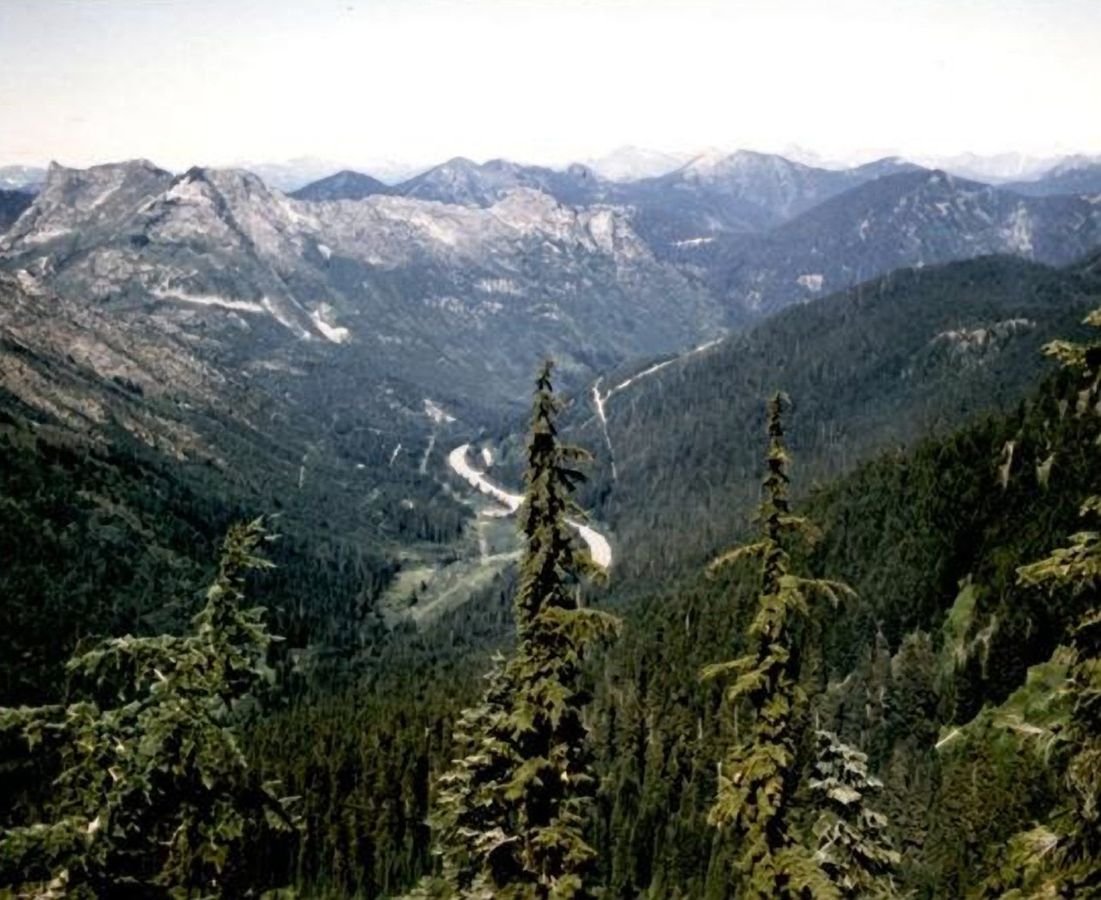
Majestic pines and gently sloping hills encase the road leading into the Cascade Mountains of Washington state.
Stevens Pass Greenway

Cascade Mountains and Valley

Public Domain.
Source & rights record ↗
Display changes: resized; some frames crop the image.
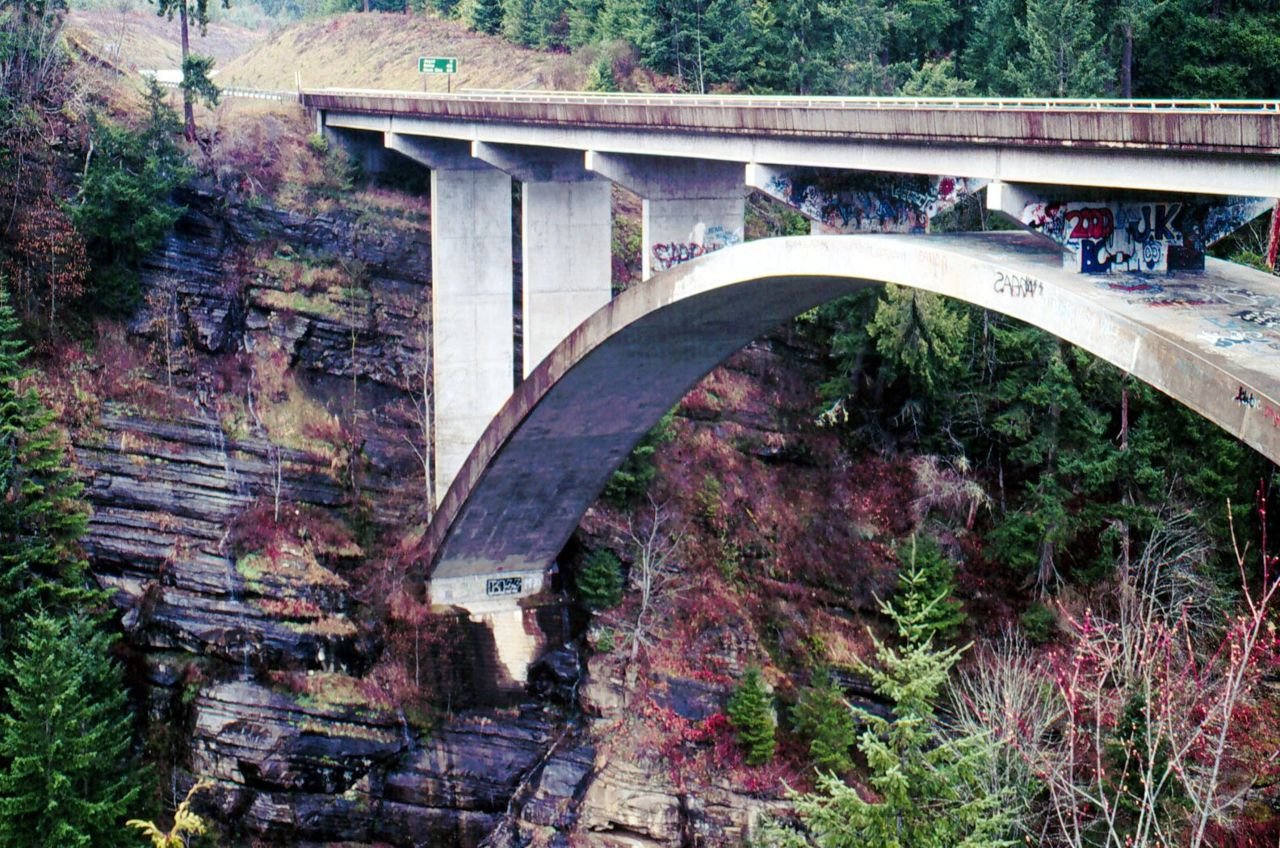
A highway bridge stretches over the Elwha River Gorge.
Strait of Juan de Fuca Highway - SR 112

Highway Bridge Over the Elwha River Gorge

Public Domain.
Source & rights record ↗
Display changes: resized; some frames crop the image.
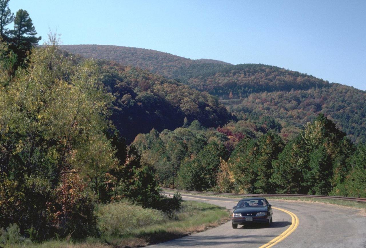
A lone vehicle winds its way around Winding Stair and Rich Mountains.
Talimena Scenic Drive

Talimena Scenic Byway

Public Domain.
Source & rights record ↗
Display changes: resized; some frames crop the image.
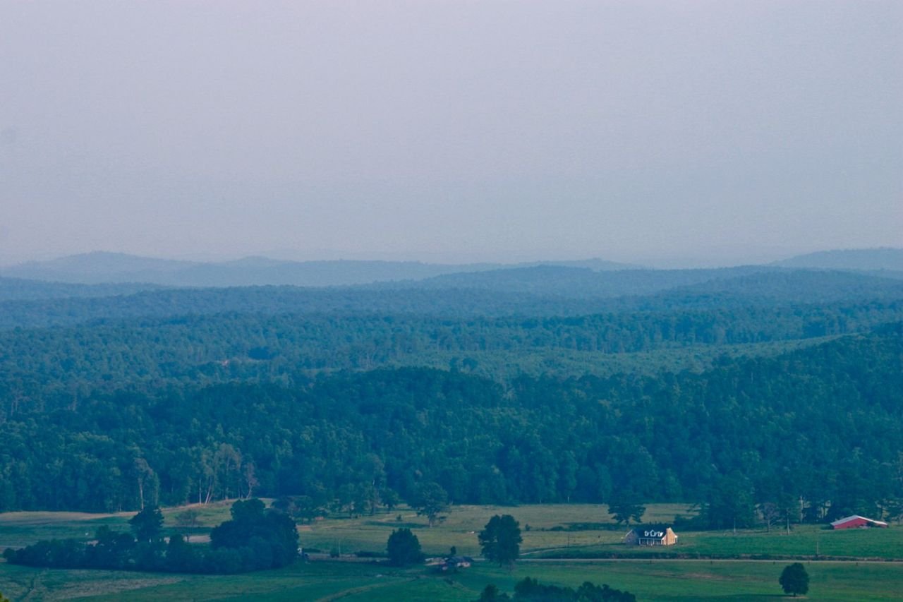
Clouds fall gently on the green hills surrounding the Talladega Scenic Drive.
Talladega Scenic Drive

A Cloudy Day along the Talladega Scenic Drive

Public Domain.
Source & rights record ↗
Display changes: resized; some frames crop the image.
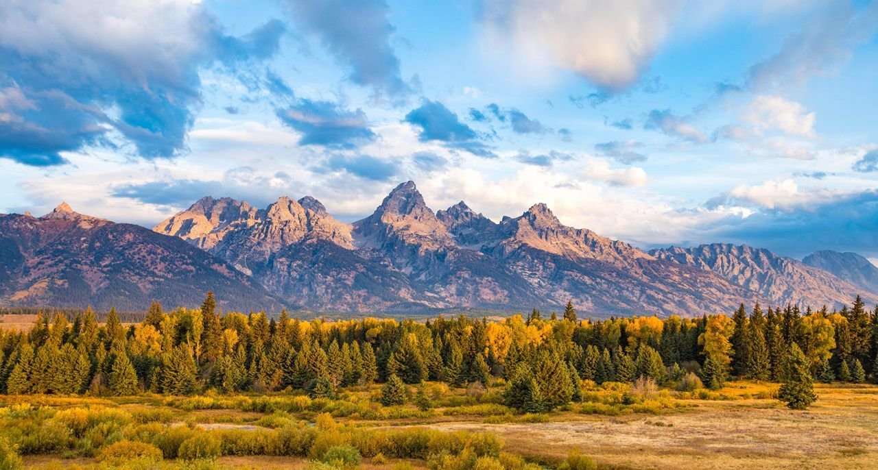
Granite mountains with a cloudy blue sky and green and yellow trees and plants in the foreground
Teton Pass & Valley Loop

Grand Teton National Park

NPS Photo/Tobiason · Public domain, NPS
Source & rights record ↗
Display changes: resized; some frames crop the image.
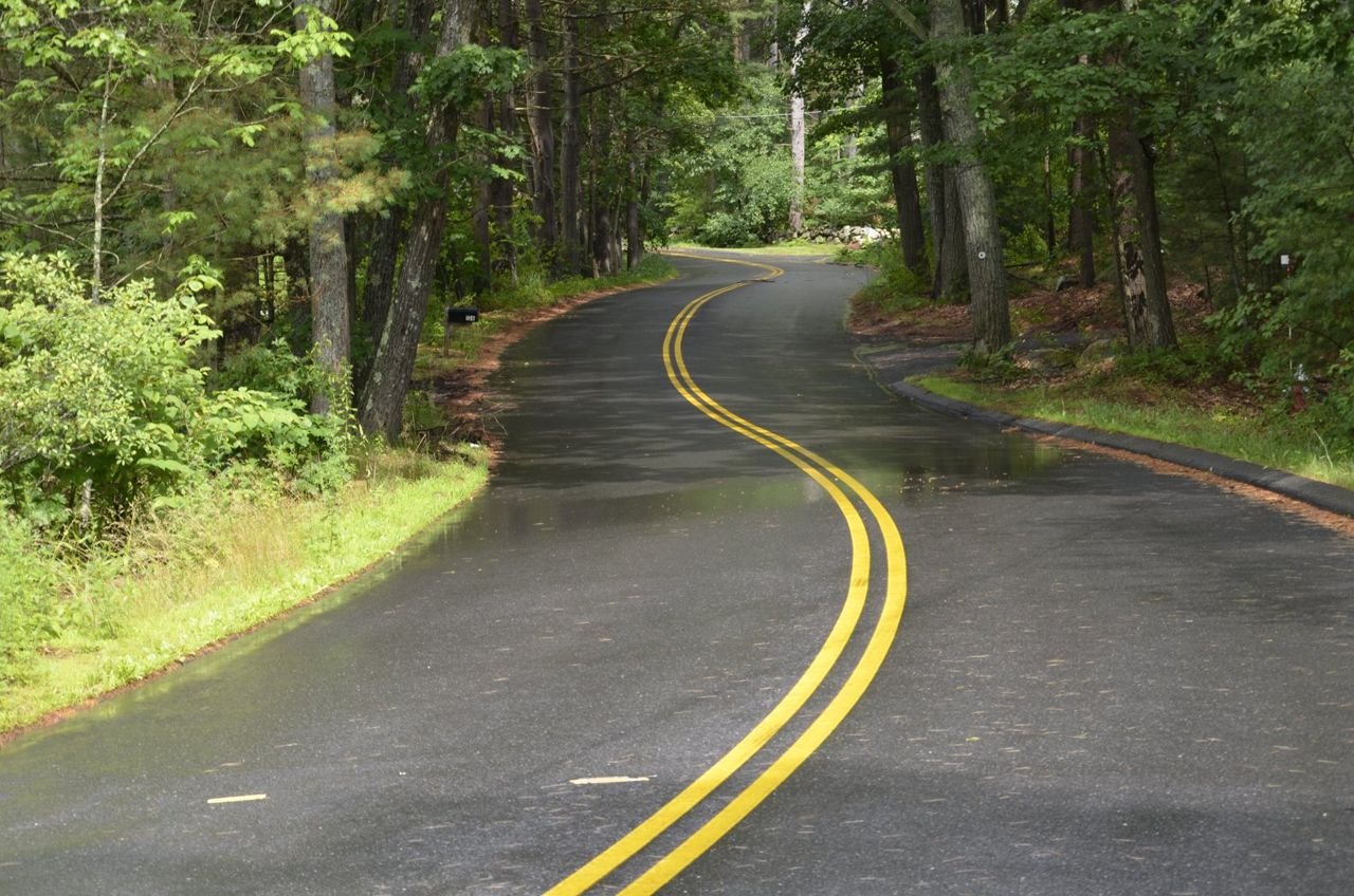
This part of the Battle Road Scenic Byway depicted here is a beautiful, picturesque winding road that can inspire reflections upon the battles, lives and stories of the people who fought, farmed, and lived here and set this country on its path to freedom.
The Battle Road Scenic Byway

F16cBattleRoadScenicBywayAfterSummerRainShower

Public Domain. Richard Canale
Source & rights record ↗
Display changes: resized; some frames crop the image.
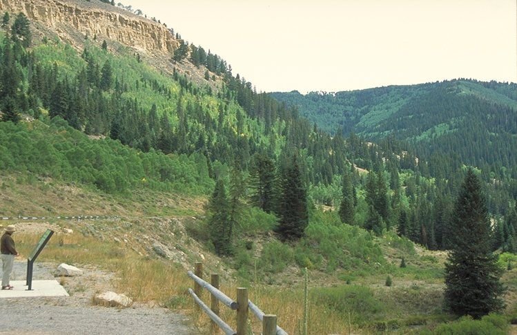
A visitor admires a beautiful landscape and creek while stopping to read about riparian communities on The Energy Loop: Huntington/Eccles Canyons Scenic Byway.
The Energy Loop: Huntington/Eccles Canyons Scenic Byway

Riparian Interpretation Overlooking Creek

Public Domain. Photo by Dennis Adams of FHWA
Source & rights record ↗
Display changes: resized; some frames crop the image.
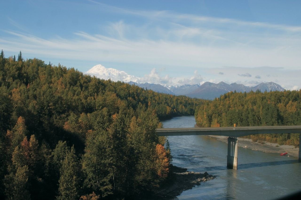
The George Parks Highway Scenic Byway travels over the steep-walled gorge of Hurricane Gulch.
The George Parks Highway Scenic Byway

Hurricane Gulch

Public Domain. Photo by Penny Bauder
Source & rights record ↗
Display changes: resized; some frames crop the image.
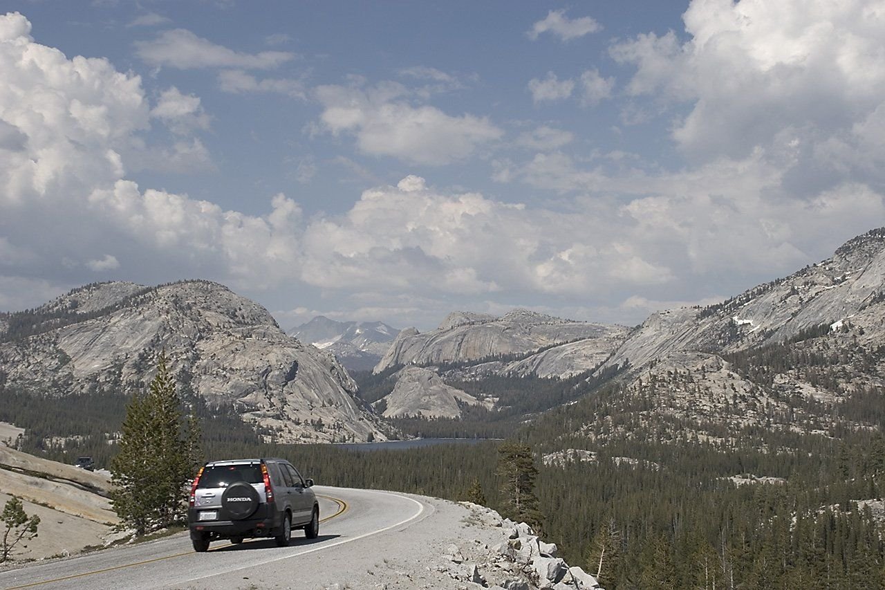
Tioga Road curves past wonderful views of mountains at Olmstead Point in Yosemite National Park.
Tioga Road/Big Oak Flat Road

Tioga Road in Yosemite National Park

Public Domain. Photo by Neil Li
Source & rights record ↗
Display changes: resized; some frames crop the image.
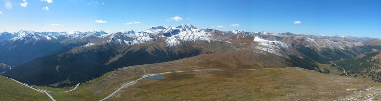
In this panoramic view, Highway 82 crosses the summit of Independence Pass at an elevation of 12,095 feet, one of the highest paved roads in the US. Stretching off to the west from the summit is the Roaring Fork River valley leading to Aspen, and to the east, the South Fork of Lake Creek leading to Twin Lakes and beyond.
Top of the Rockies

The Summit of Independence Pass

Public Domain.
Source & rights record ↗
Display changes: resized; some frames crop the image.
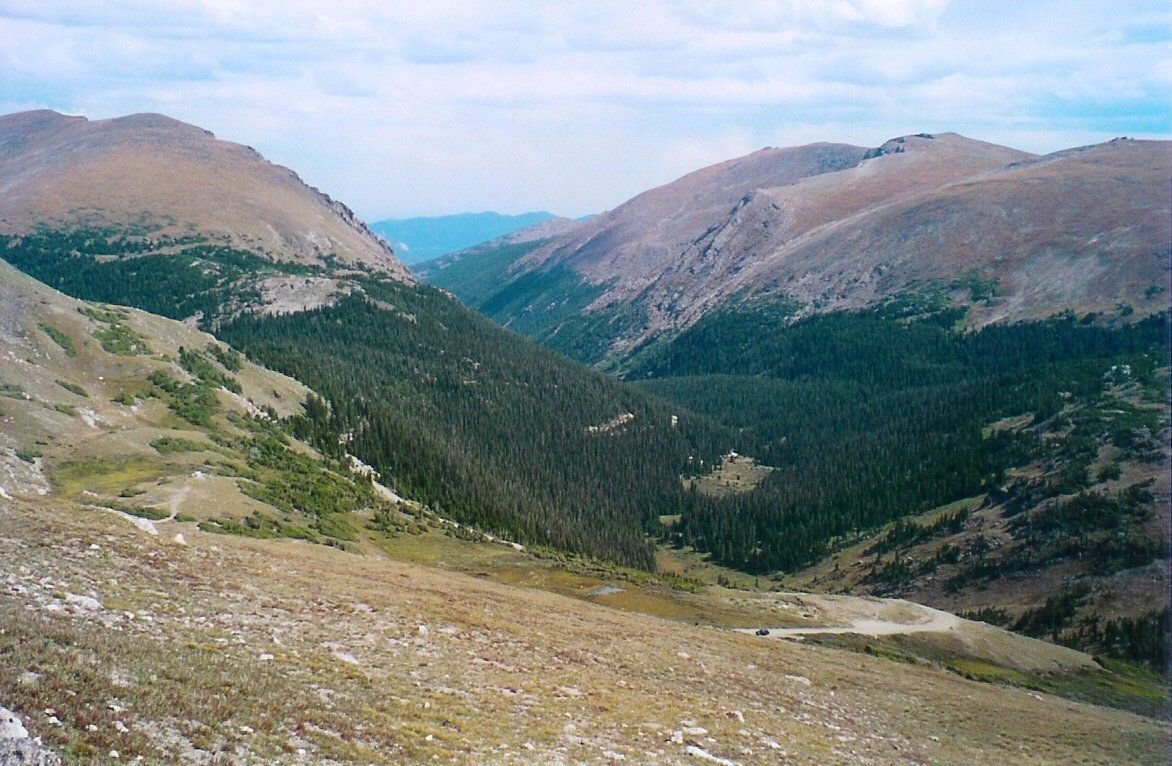
This summer view from the Alpine Visitor Center looks down on the rich forested valley along Fall River Road.
Trail Ridge Road/Beaver Meadow Road

Fall River Road

Public Domain. Photo by Sally Pearce
Source & rights record ↗
Display changes: resized; some frames crop the image.
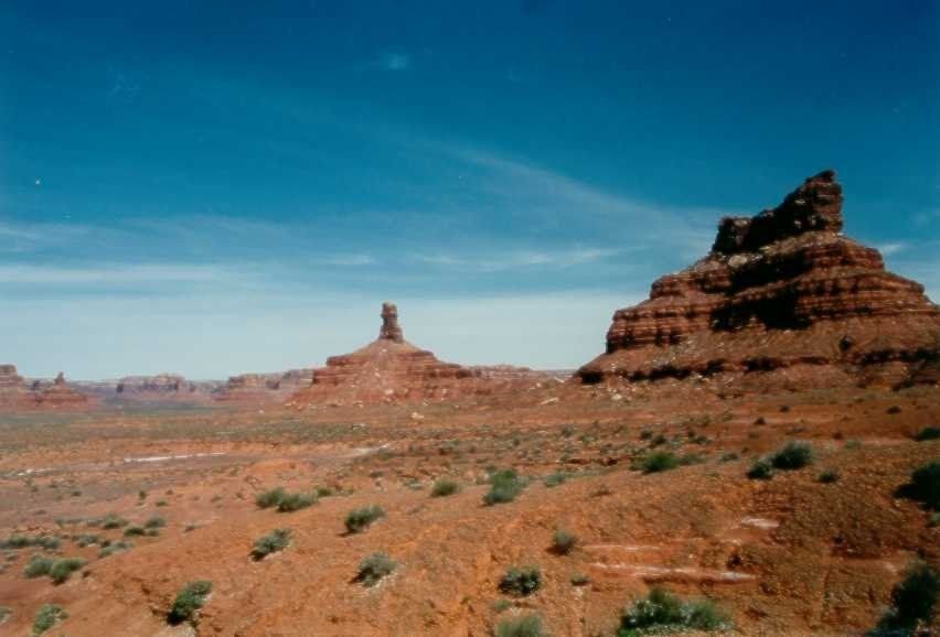
Jutting into the clear blue sky, a clump of mountains rises from the daunting desert landscape.
Trail of the Ancients

Valley of the Gods

Public Domain. Photo courtesy of Utah's Canyon Country Visitor Services
Source & rights record ↗
Display changes: resized; some frames crop the image.
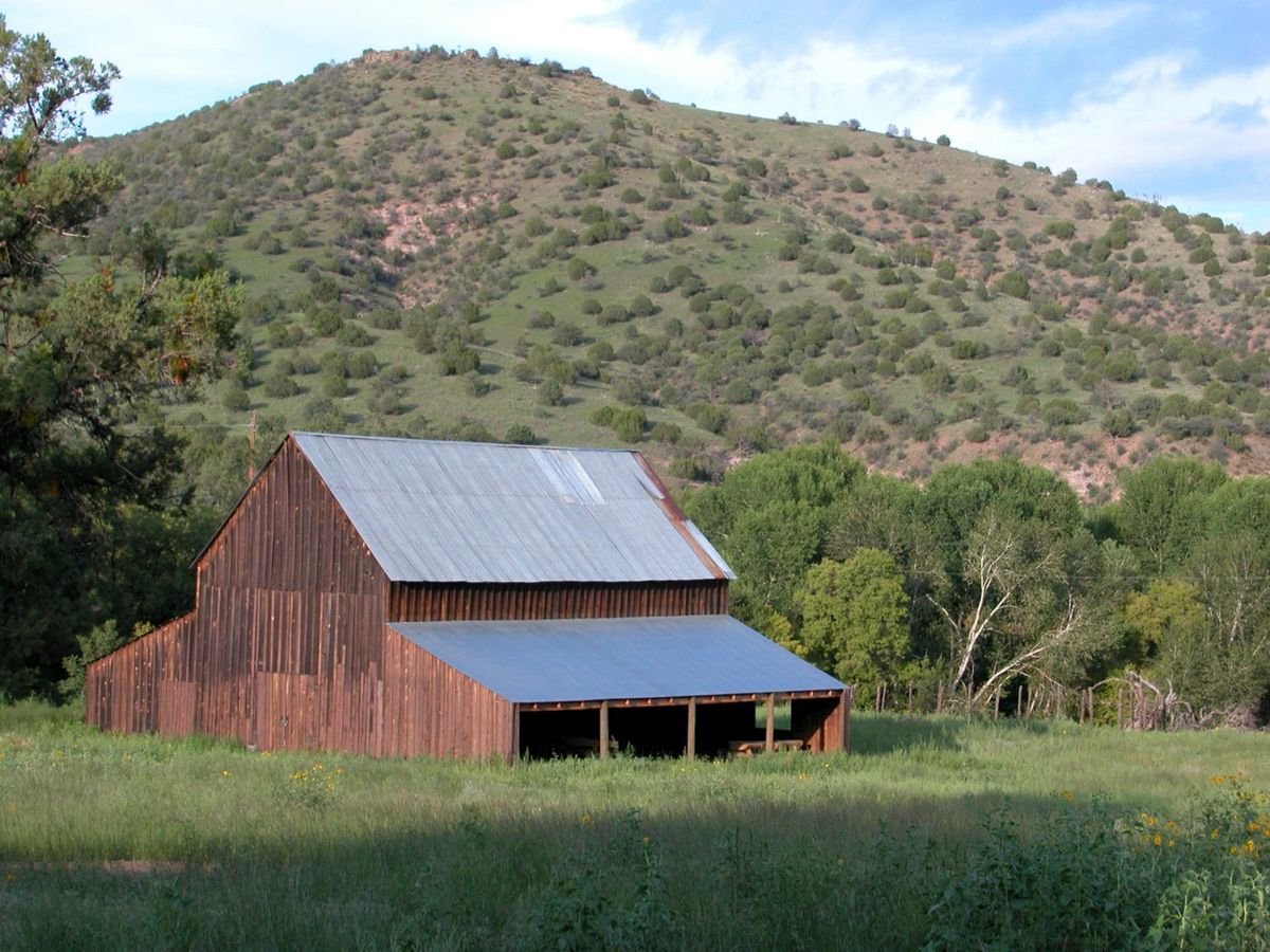
Juniper dotted rolling hills are a backdrop to a small farm in the Mimbres Valley.
Trail of the Mountain Spirits Scenic Byway

A Barn In Mimbres Valley

Public Domain. Photo by Joe Burgess
Source & rights record ↗
Display changes: resized; some frames crop the image.
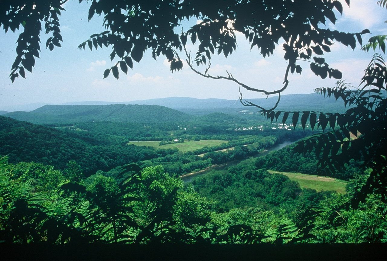
Lush green hues emanate from the West Virgina landscape as seen from the Panorama Overlook.
Washington Heritage Trail

Cacapon River from Panorama Overlook

Public Domain. Photo by Steve Shaluta, Courtesy Travel Berkeley Springs
Source & rights record ↗
Display changes: resized; some frames crop the image.
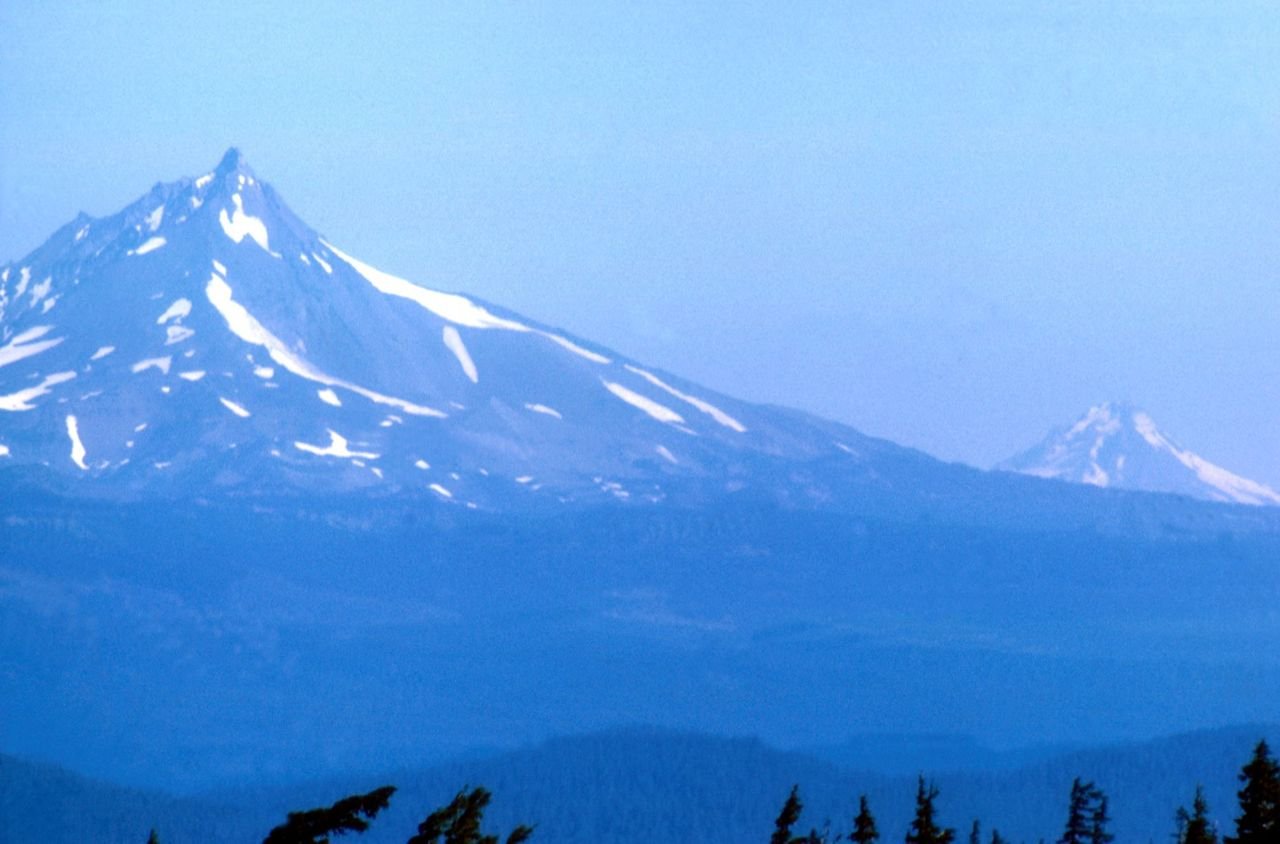
Mt. Hood can be seen along with Mt. Jefferson at this high vista along the West Cascades Byway.
West Cascades Scenic Byway

Hiding in Sky's Shadow

Public Domain. Courtesy of U.S. Forest Service
Source & rights record ↗
Display changes: resized; some frames crop the image.
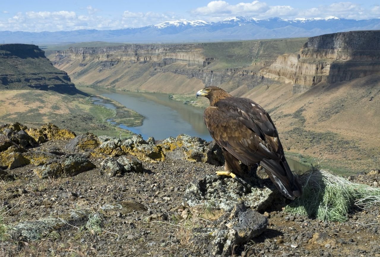
A majestic golden eagle looks over the Snake River gorge at Swan Falls on the Western Heritage Historic Byway.
Western Heritage Historic Byway

Golden Eagle at Swan Falls

Public Domain. Photo by Aldis Garsvo
Source & rights record ↗
Display changes: resized; some frames crop the image.
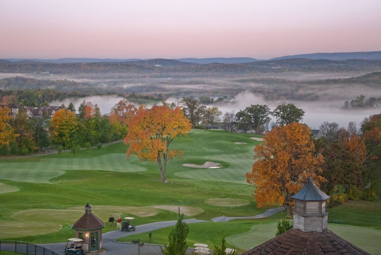
The panoramic views and landscape of the Ballyowen Golf Course on Hamburg Mountain are habitats to many species of flora and fauna.
Western Highlands Scenic Byway

Western Highlands Scenic Byway, Vernon, NJ, Crystal Springs Ballyowen

Public Domain. Andy Mulvihill
Source & rights record ↗
Display changes: resized; some frames crop the image.
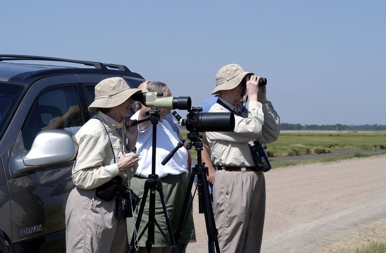
The Kansas Wetlands and Wildlife Scenic Byway is a paradise for birdwatchers such as those shown here. Both beginners and experts will find a visit to the wetlands an exciting experience. Most birdwatchers simply stop along the dikes and roadways with binoculars and spotting scopes as indicated in this photo.
Wetlands and Wildlife Scenic Byway

Birdwatchers

Public Domain.
Source & rights record ↗
Display changes: resized; some frames crop the image.

Snow cakes the road and frosts the trees in New Hampshire's White Mountain National Forest.
White Mountain Trail

Cross-Country Ski Trail in the White Mountains

Public Domain. Photo by Roland Caron
Source & rights record ↗
Display changes: resized; some frames crop the image.
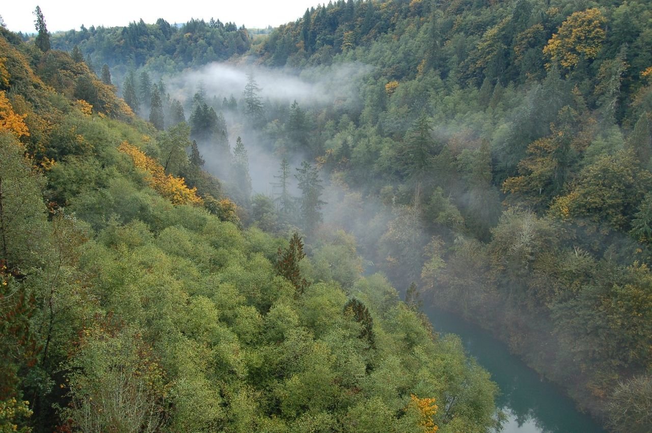
Mist obscures the Cowlitz River far below the White Pine Scenic Byway (US 12).
White Pass Scenic Byway

Cowlitz River Below U.S. 12

Public Domain. Photo by S. Clyde
Source & rights record ↗
Display changes: resized; some frames crop the image.
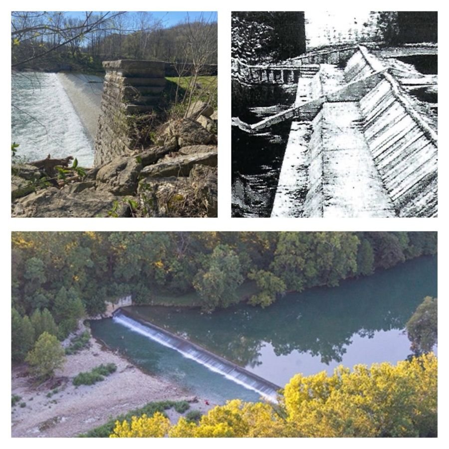
The Laurel Feeder Dam or Dam #4 is represented by three images in a collage.

The image in the upper left shows a picture taken from the overflow side of the dam with whitewater cascading over the 8-foot high cement dam that stretches across the Whitewater River. In the foreground is a limestone block pillar which frames the dam and secures the intake or “regulator“ gate to supply water to the canal. (photo courtesy of Candy Yurcak)

The square image on the upper right shows a much earlier version of the dam when it was built of three cascading levels of wood. In this black and white historic image, pre-1940, there is no water flowing over the dam. (photo courtesy of Indiana Department of Conservation)

The lower horizontal image is an aerial shot of the feeder dam showing the Whitewater River flowing over the 372’ wide dam at dusk making a white ribbon across the tree-lined river.
Whitewater Canal Scenic Byway

Laurel Feeder Dam

Public Domain. Scott Richardson
Source & rights record ↗
Display changes: resized; some frames crop the image.
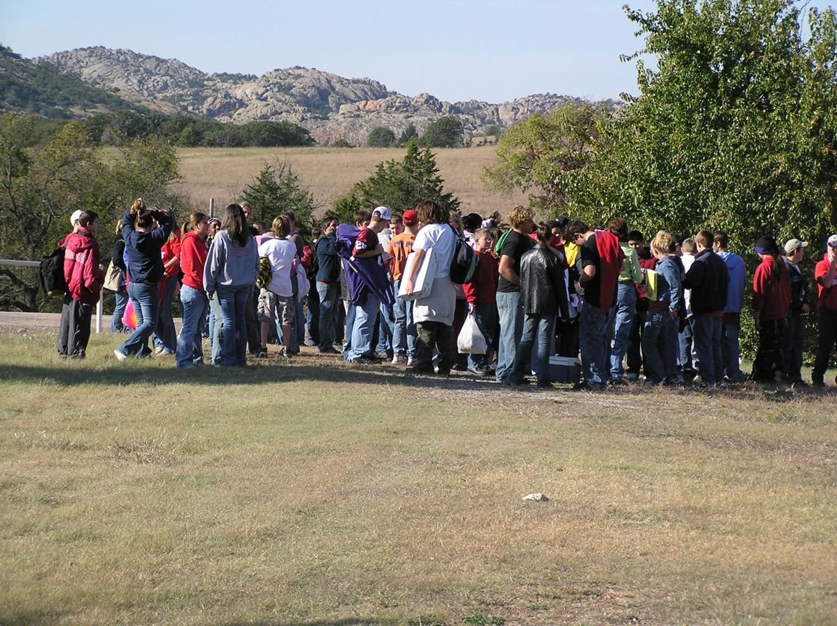
School children gather to learn more about the importance of the mix-grass prairie along the Wichita Mountains Byway.
Wichita Mountains Byway

School Children on the Prairie

Public Domain.
Source & rights record ↗
Display changes: resized; some frames crop the image.
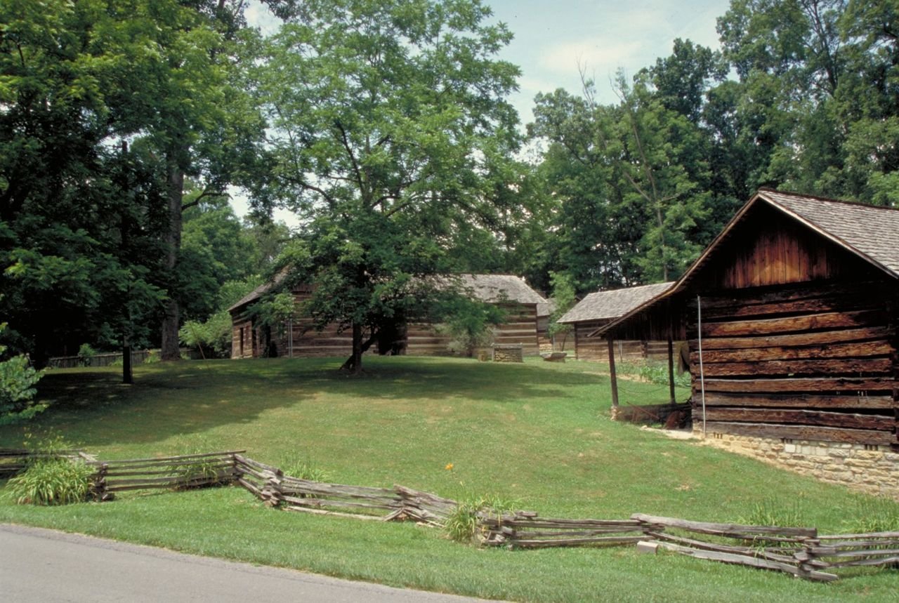
A split rail fence zigzags past log buildings at Levi Jackson State Park.
Wilderness Road Heritage Highway

Historic Buildings at Levi Jackson State Park

Public Domain. Photo by Dennis Adams
Source & rights record ↗
Display changes: resized; some frames crop the image.
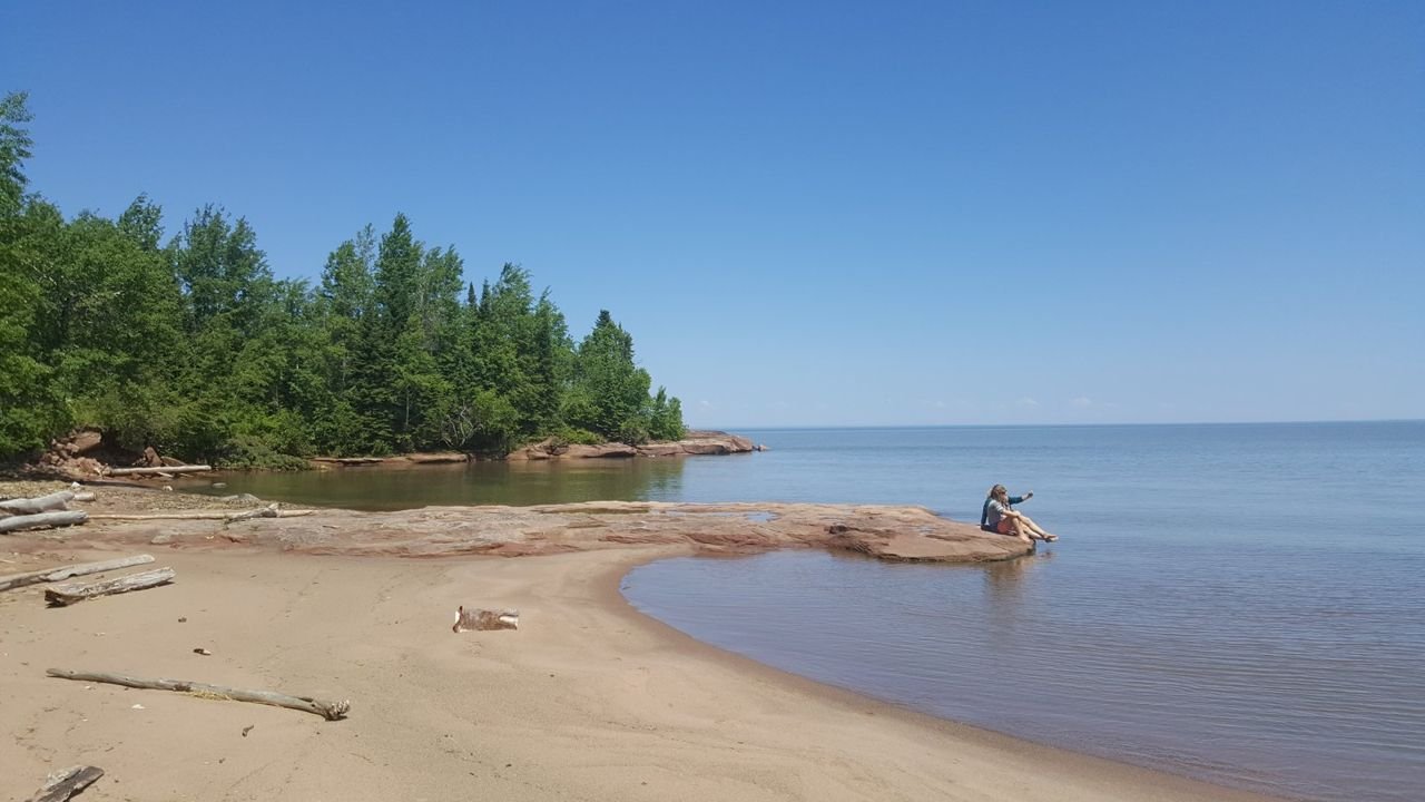
People at Quarry Beach in the Port Wing Boreal Forest.
Wisconsin Lake Superior Scenic Byway

F10QuarryBeach

Public Domain. Bayfield County Tourism
Source & rights record ↗
Display changes: resized; some frames crop the image.
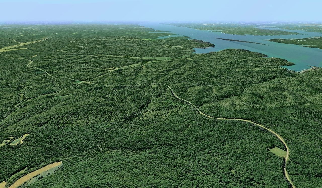
An aerial view of a vast green landscape highlights the Woodlands Trace byway as it winds its way through the forested peninsula called Land Between The Lakes National Recreation Area.
Woodlands Trace

Woodlands Trace Weaving Through Land Between The Lakes NRA

Public Domain.
Source & rights record ↗
Display changes: resized; some frames crop the image.
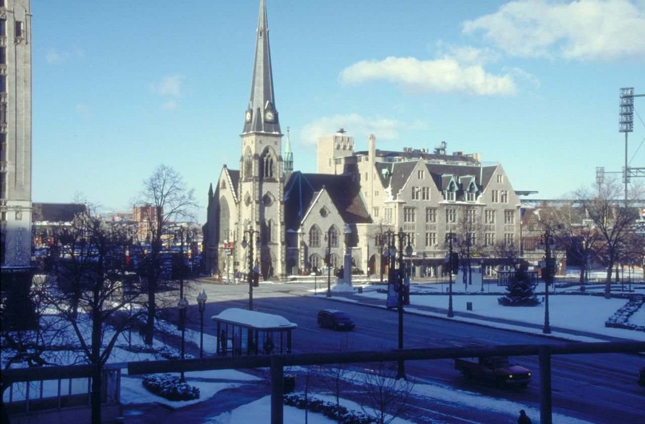
A beautiful grey brick church, near Comerica Park, on the Woodward Avenue Scenic Byway.
Woodward Avenue (M-1) - Automotive Heritage Trail

Avenue and Church Near Comerica Park on the Woodward

Public Domain. Photo by Dennis Adams of FHWA
Source & rights record ↗
Display changes: resized; some frames crop the image.

Panorama view of mountains, buildings in a town, and striped mesas with a cloudy sky.
Zion Scenic Byway

La Verkin Overlook

Public Domain. Bryan Ungard
Source & rights record ↗
Display changes: resized; some frames crop the image.