
Pueblo Nuevo · wider Sierra itinerary
Mexiquillo to the Mountain Viewpoints
The wider mountain corridor adds viewpoints beyond the Mexiquillo walking area.
 Enlarge photo ↗
Photo: Durango Tourism. Resized; card crop.
Build it into your day
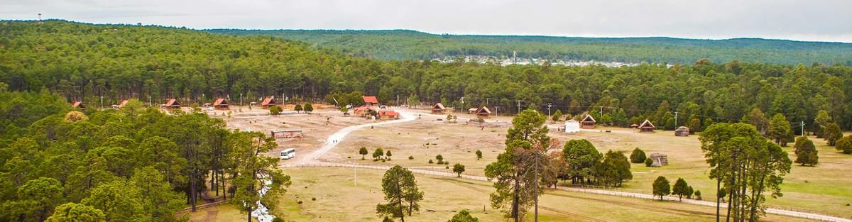
Choose a manageable route with a guide instead of collecting several distant stops in one day. Check weather, road conditions and current advice first. The photograph shows the regional scenery; map markers identify the destination area and are not directions to an entrance.
Practical planning
The toll highway, old mountain highway and local forest roads serve different places. Do not infer an access route from the map’s town marker. Check current official travel advice before choosing intercity or rural routes. Confirm the exact pickup point, road conditions and return transport; a destination shown on the map is not a route recommendation.
The map groups sights by destination area; it does not mark this attraction’s entrance. Confirm the exact location, current access and opening arrangements before traveling. If you need step-free access, ask the venue about the specific route and facilities.
Guide research & photo credits
Original ATA visitor notes and suggested itineraries, informed by Durango tourism and the individual venues. Official references are provided for opening arrangements; photographs are credited alongside each image.