
Los Cabos corridor · Baja California Sur
Chileno Bay
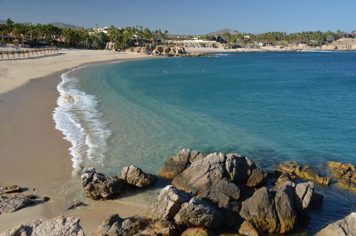
A public beach stop between the two Cabo towns, with a sheltered-looking bay and rocky edges. Water conditions still decide whether a swim or snorkel is appropriate.
 Enlarge photo ↗
Photo: Los Cabos Tourism. Resized; card crop.
Build it into your day
Bring drinking water and shade, confirm the public access point and follow posted conditions. Beginners should use an appropriate guide rather than following experienced snorkelers offshore. Arrange the return ride before arriving.
Practical planning
Los Cabos airport is near San José, not in Cabo San Lucas. Book a transfer to your exact hotel. Corridor resorts can be far from both centers; compare transport needs before booking. Pacific-facing beaches are not automatically swimmable, and boat landings depend on conditions.
The map marks the general location for planning. Confirm the visitor entrance, current access and opening arrangements before traveling. If you need step-free access, ask the venue about the specific route and facilities.
Guide research & photo credits
Original ATA visitor notes and suggested itineraries, informed by Baja California Sur tourism and the individual venues. Official references are provided for opening arrangements; photographs are credited alongside each image.