
Real photographs from National Park Service pages credited without a copyright restriction and BLM pages identifying the federal-agency photographer. Images are resized; headers and cards may crop them. Captions name the subject shown, which may be a historic scene or an earlier season.
Source records: NPS content policy · BLM digital rights policy.
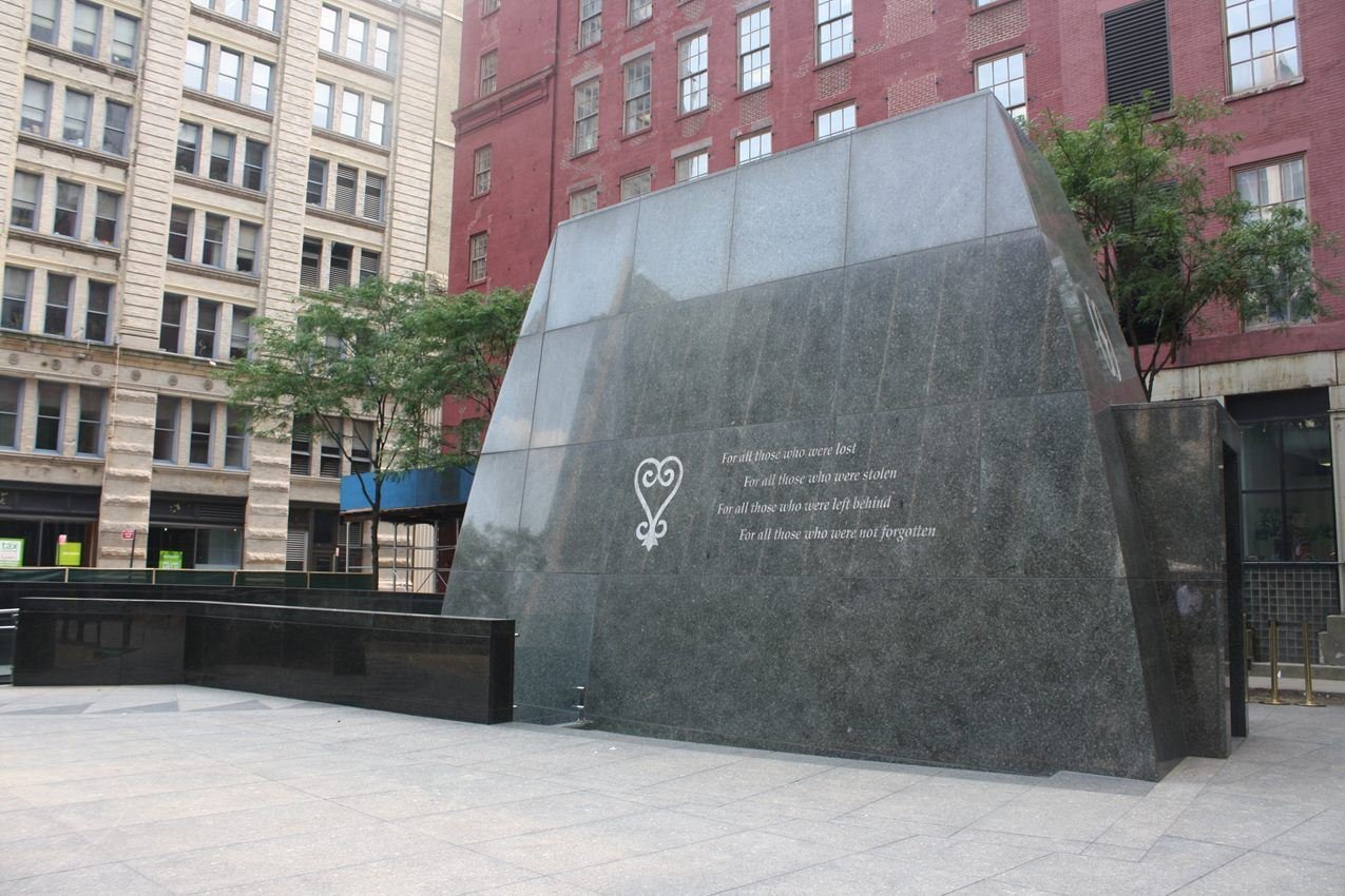
African Burial Ground Memorial
NPS Photo
NPS photograph credited without copyright restriction
Source & attribution ↗
Resized; some display frames crop the image.
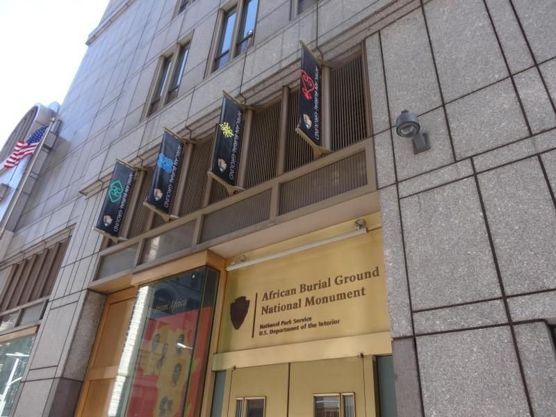
Entrance to the African Burial Ground National Monument visitor center.
NPS Photo
NPS photograph credited without copyright restriction
Source & attribution ↗
Resized; some display frames crop the image.
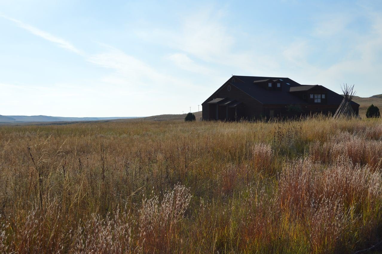
From the Fossil Hills Trail the Visitor Center is a ship in a sea of prairie grasses.
NPS Photo
NPS photograph credited without copyright restriction
Source & attribution ↗
Resized; some display frames crop the image.
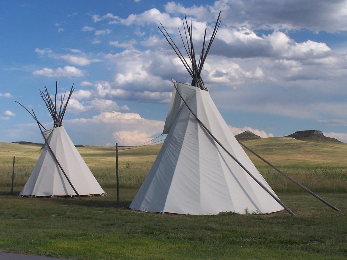
One of the first impressions that visitors have are the tipis and the Fossil Hills.
NPS Photo
NPS photograph credited without copyright restriction
Source & attribution ↗
Resized; some display frames crop the image.
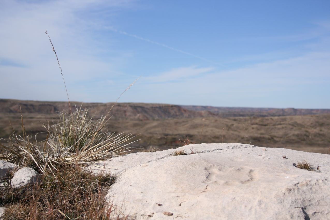
Turtle Petroglyph at Antelope Creek Village Site
NPS Photo
NPS photograph credited without copyright restriction
Source & attribution ↗
Resized; some display frames crop the image.
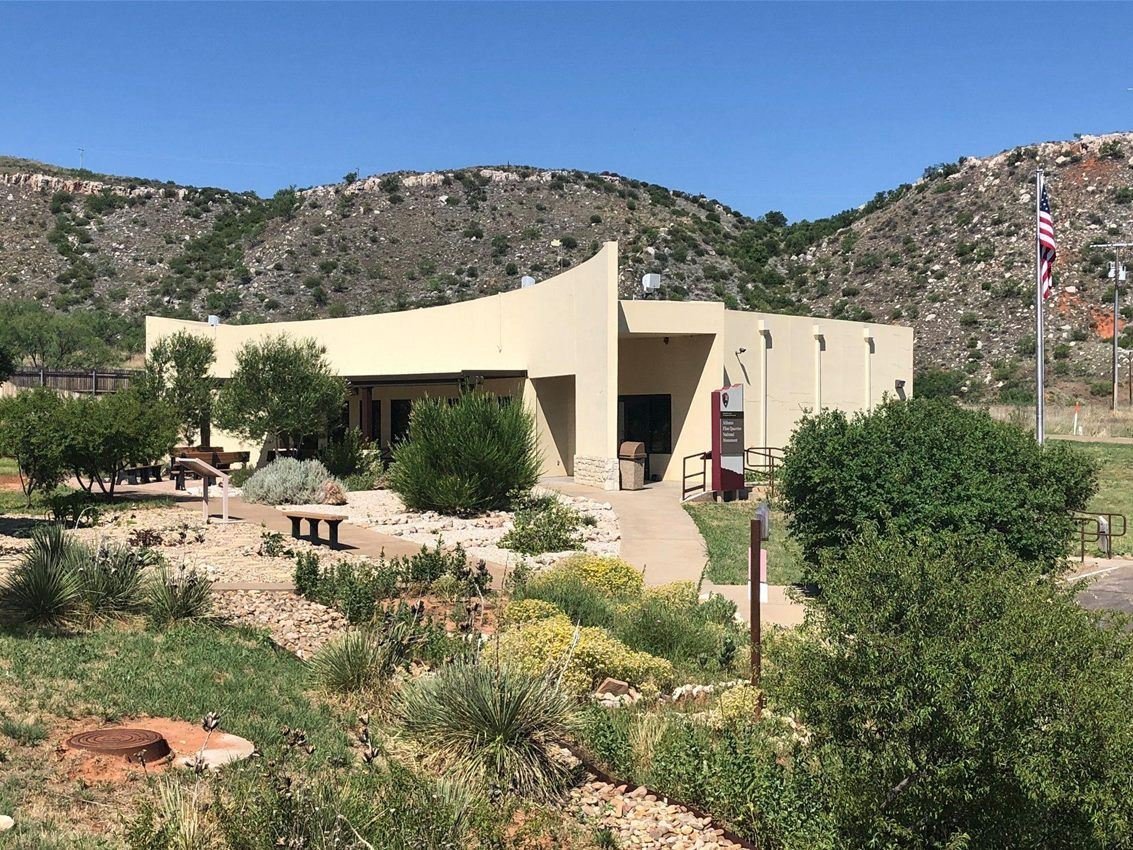
The gardens and Alibates Visitor Center host activities and ranger-led programs throughout the year.
NPS Photo
NPS photograph credited without copyright restriction
Source & attribution ↗
Resized; some display frames crop the image.
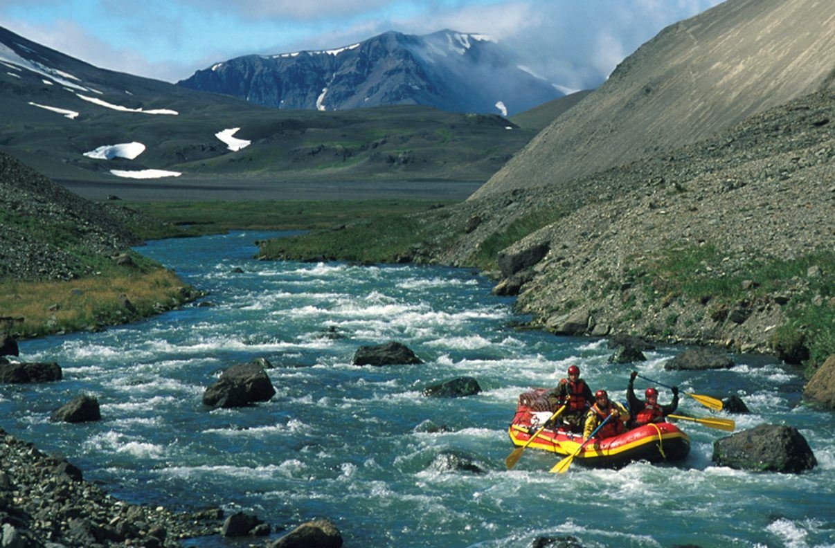
A lone raft floats the Aniakchak Wild River as it flows through the "Gates"
NPS Photo/Troy Hamon
NPS photograph credited without copyright restriction
Source & attribution ↗
Resized; some display frames crop the image.
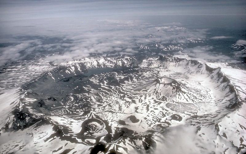
Aerial shot of Aniakchak Caldera
NPS Photo/Roy Wood
NPS photograph credited without copyright restriction
Source & attribution ↗
Resized; some display frames crop the image.
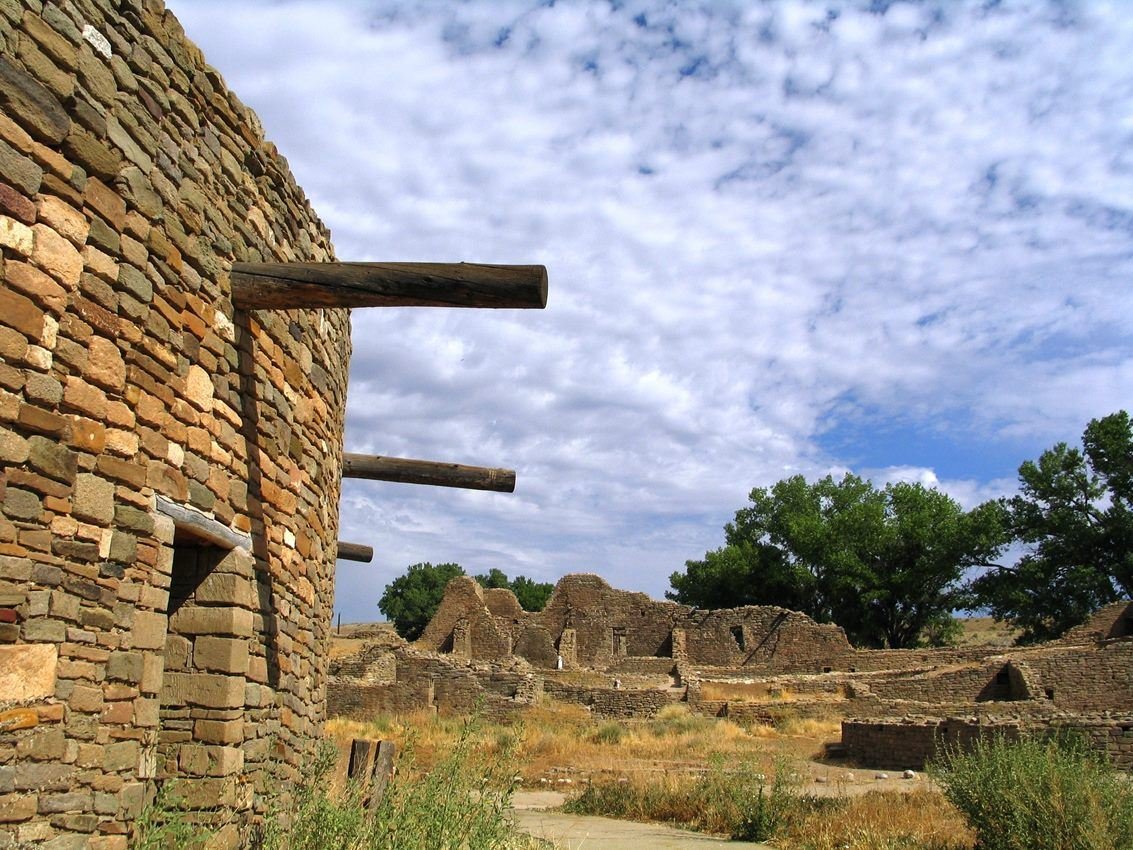
Great Kiva in Aztec West plaza
NPS Photo
NPS photograph credited without copyright restriction
Source & attribution ↗
Resized; some display frames crop the image.
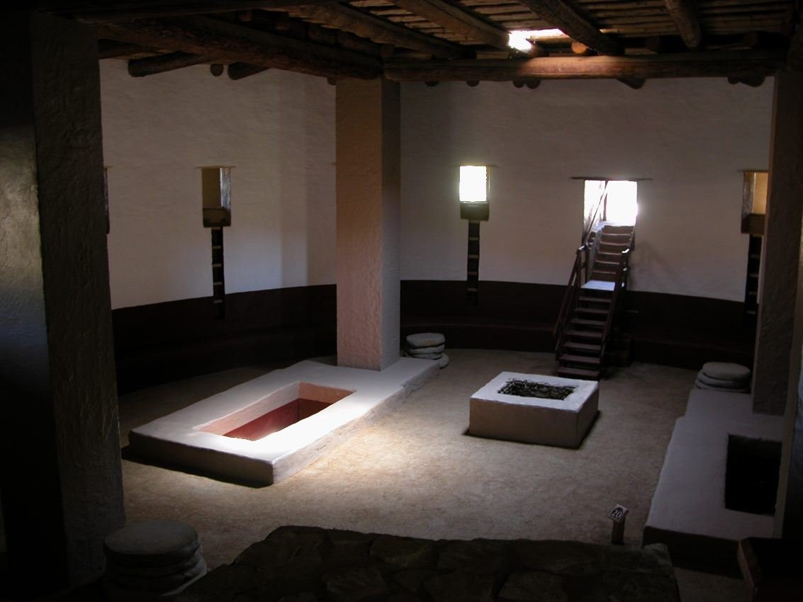
The reconstructed Great Kiva
NPS Photo
NPS photograph credited without copyright restriction
Source & attribution ↗
Resized; some display frames crop the image.
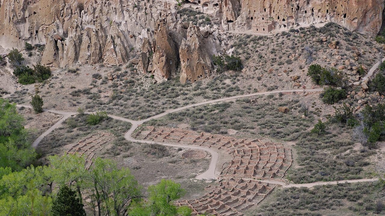
A view of Tyuonyi and the cliff dwelling in Frijoles Canyon from the mesa.
NPS Photo/Sally King
NPS photograph credited without copyright restriction
Source & attribution ↗
Resized; some display frames crop the image.
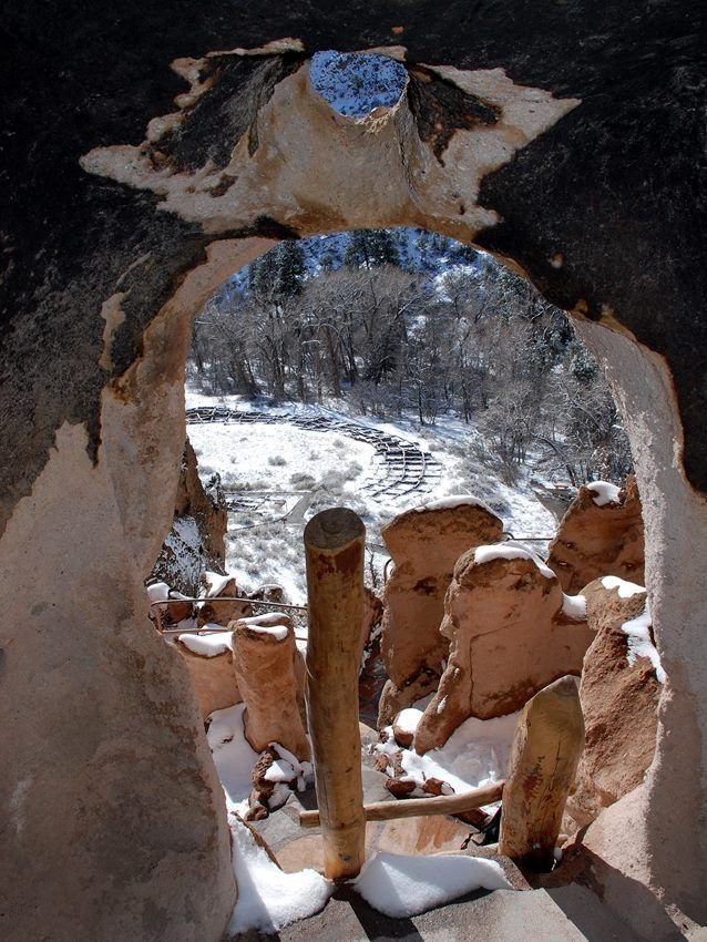
A view of Tyuonyi from a cavate along the Main Loop Trail in Frijoles Canyon.
NPS Photo/Sally King
NPS photograph credited without copyright restriction
Source & attribution ↗
Resized; some display frames crop the image.
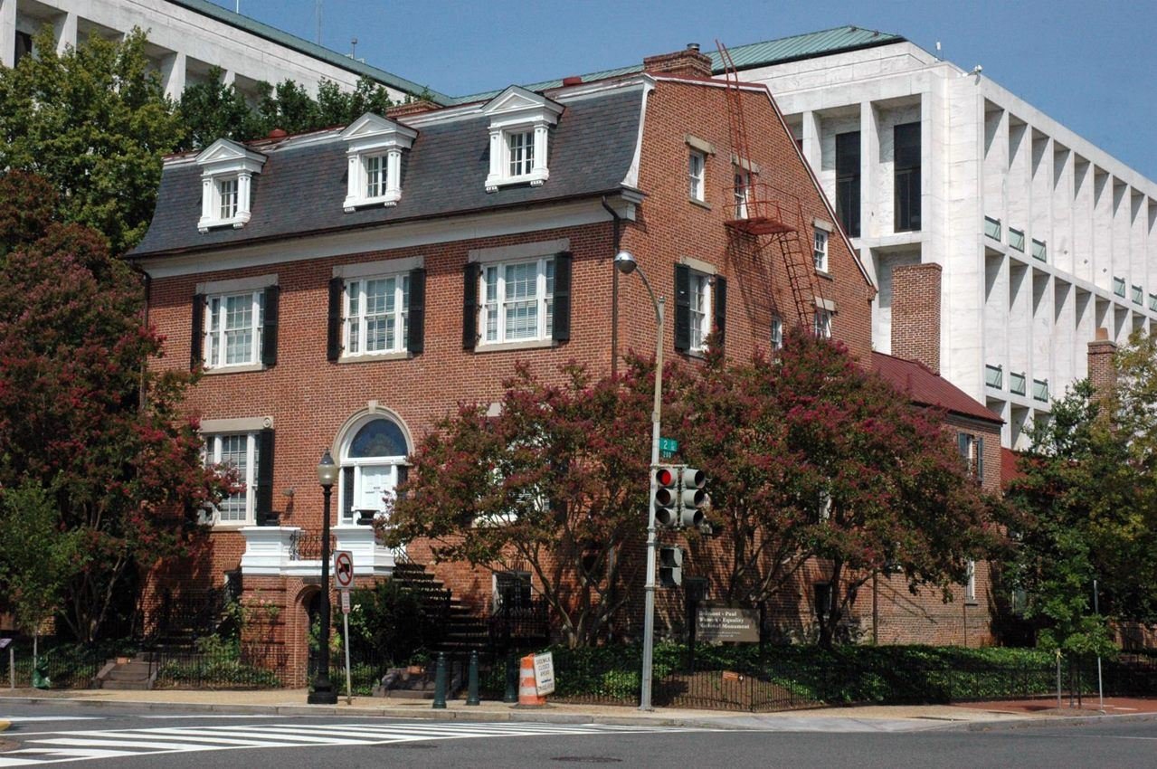
411th Unit of the National Park Service
NPS Photo
NPS photograph credited without copyright restriction
Source & attribution ↗
Resized; some display frames crop the image.

Calling out for Women Suffrage
NPS Photo
NPS photograph credited without copyright restriction
Source & attribution ↗
Resized; some display frames crop the image.
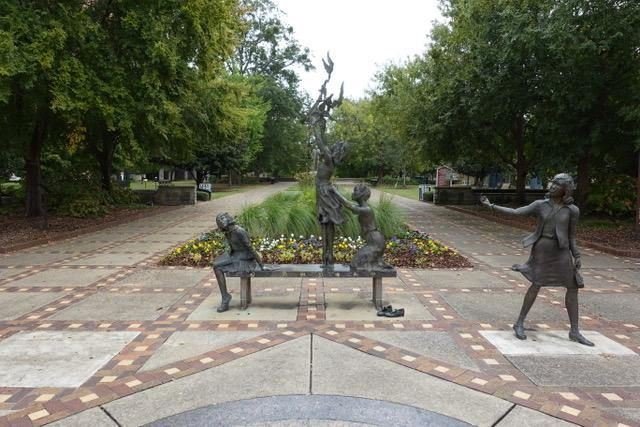
Hundreds of people visit Kelly Ingram Park each year to learn about the Civil Rights Movement in Birmingham
NPS Photo
NPS photograph credited without copyright restriction
Source & attribution ↗
Resized; some display frames crop the image.
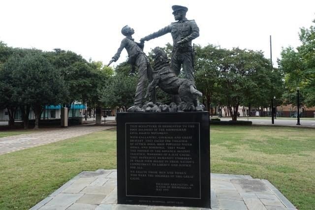
Statue in Kelly Ingram park dedicated to Birmingham Foot soldiers
NPS Photo
NPS photograph credited without copyright restriction
Source & attribution ↗
Resized; some display frames crop the image.
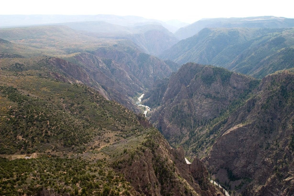
Black Canyon near Tomichi Point
NPS Photo/Lynch
NPS photograph credited without copyright restriction
Source & attribution ↗
Resized; some display frames crop the image.
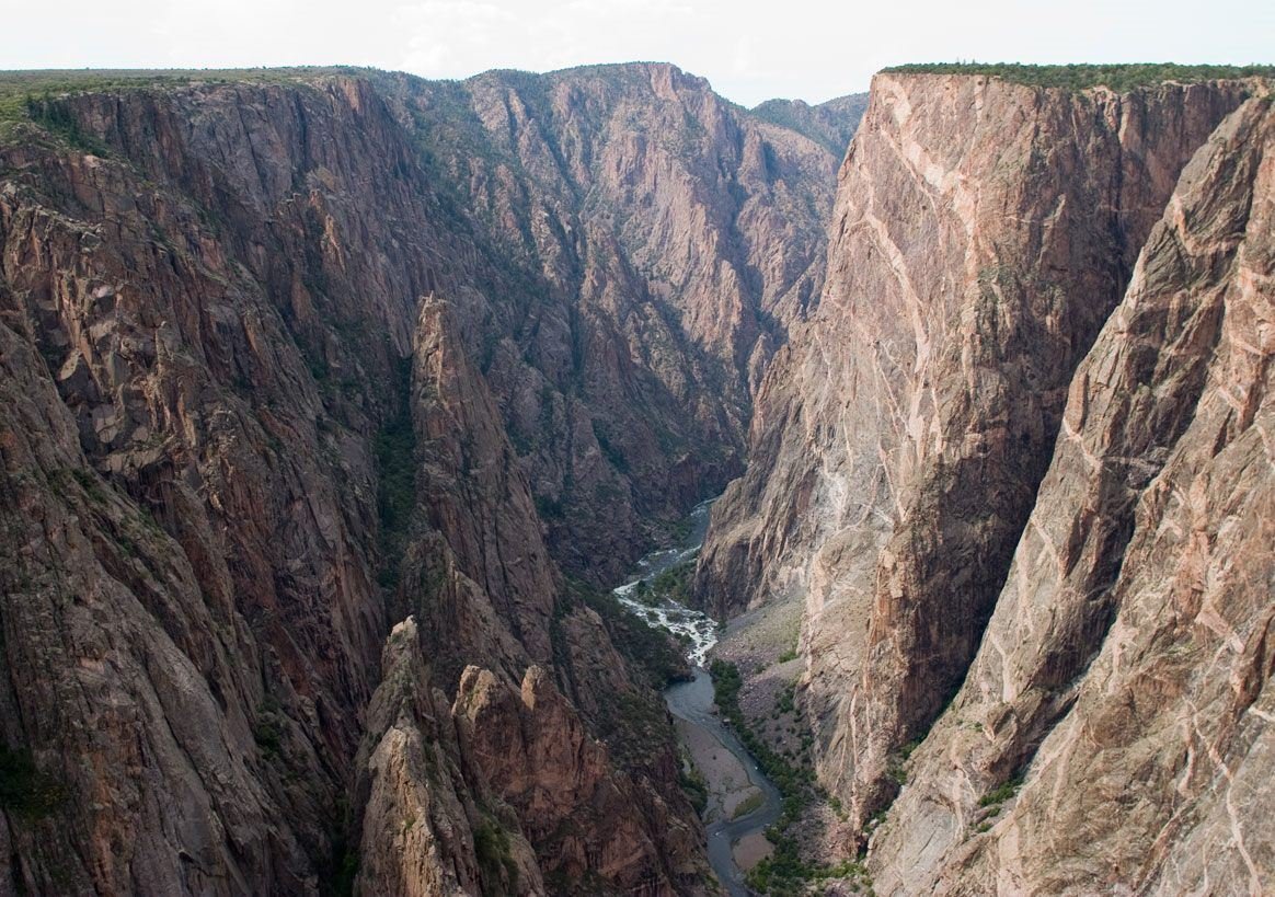
Black Canyon near Painted Wall
NPS Photo/Lynch
NPS photograph credited without copyright restriction
Source & attribution ↗
Resized; some display frames crop the image.
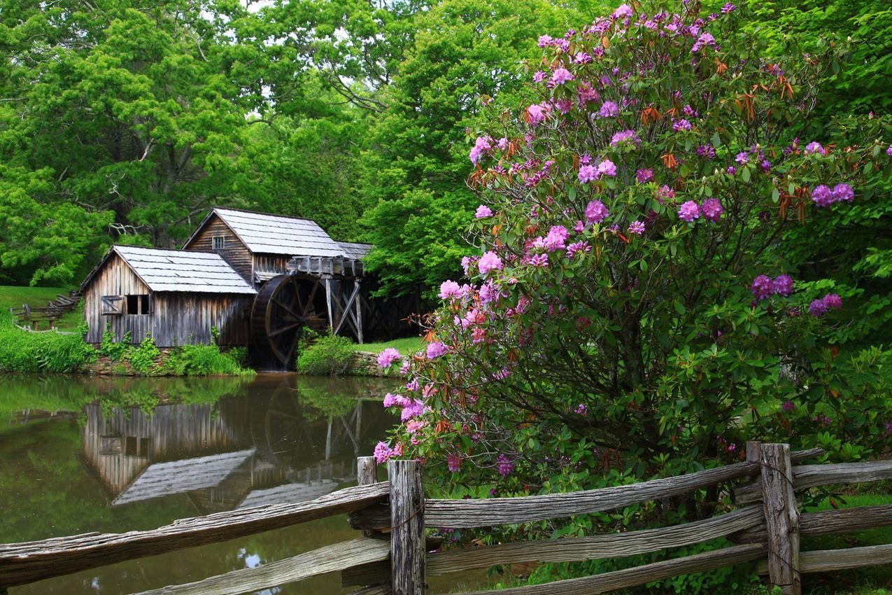
Located in Virginia's Plateau district, picturesque Mabry Mill is one of the most iconic features of the Blue Ridge Parkway
NPS Photo
NPS photograph credited without copyright restriction
Source & attribution ↗
Resized; some display frames crop the image.
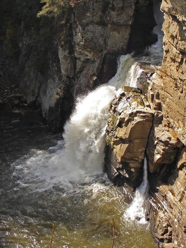
The Linville Gorge offers visitors the opportunity to learn about fascinating geology and view magnificent waterfalls.
NPS Photo
NPS photograph credited without copyright restriction
Source & attribution ↗
Resized; some display frames crop the image.
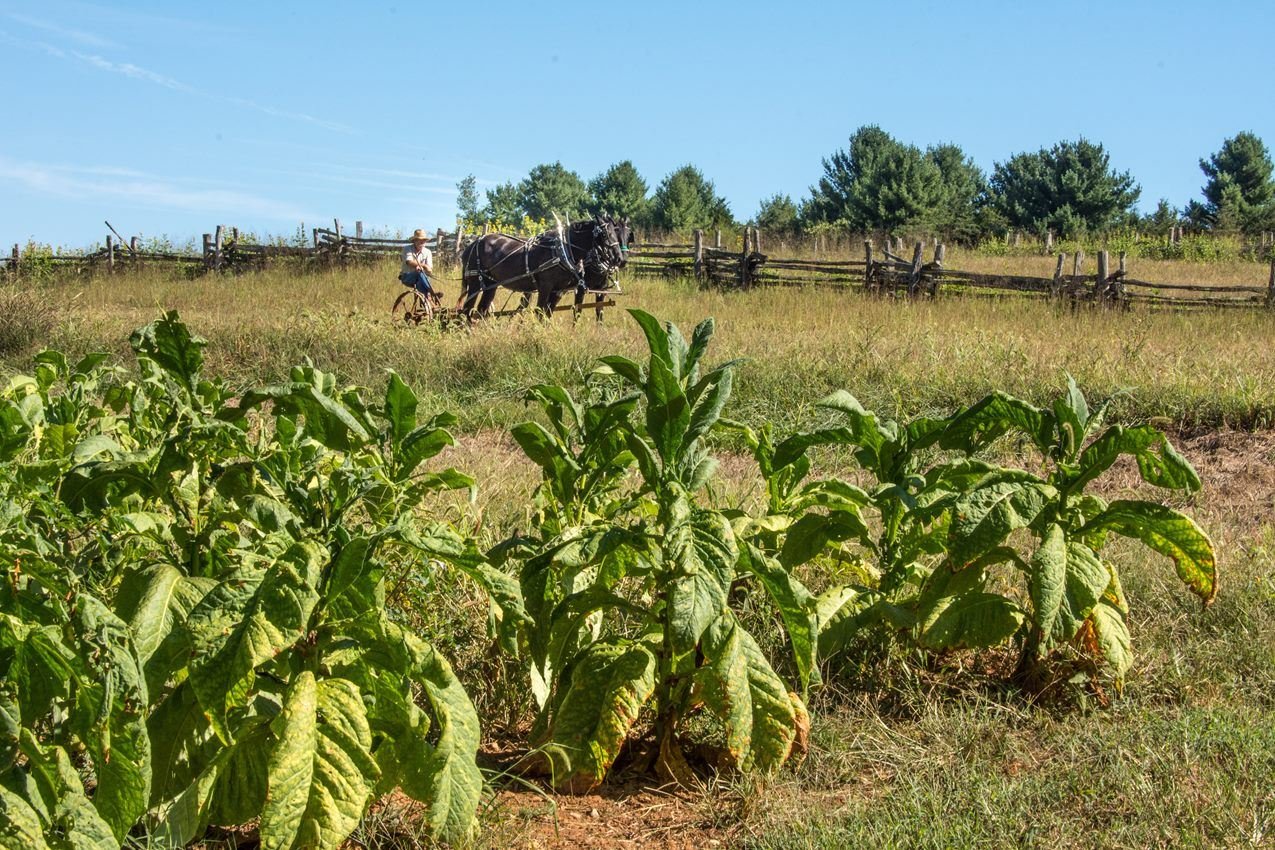
The main crop on the plantation where Booker T. Washington was born was tobacco. This photograph shows a man with draft horses preparing to plow a field.
NPS Photo/ VIP Bill Tucker
NPS photograph credited without copyright restriction
Source & attribution ↗
Resized; some display frames crop the image.
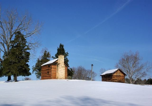
The reconstructed kitchen cabin and smoke house on the farm where Booker T. Washington was born.
NPS Photo
NPS photograph credited without copyright restriction
Source & attribution ↗
Resized; some display frames crop the image.
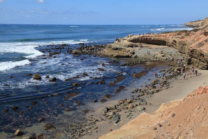
Low Tide at the Tidepools
NPS Photo / Dan Zeller
NPS photograph credited without copyright restriction
Source & attribution ↗
Resized; some display frames crop the image.
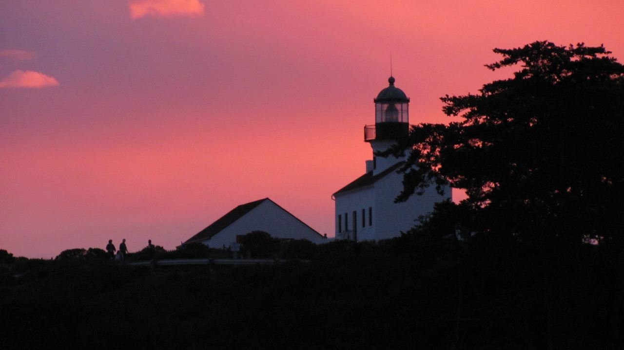
Dusk over the Old Point Loma Lighthouse
NPS Photo / Mike Nelson
NPS photograph credited without copyright restriction
Source & attribution ↗
Resized; some display frames crop the image.
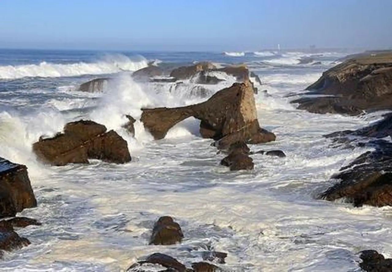
California Coastal National Monument
David Ledig/BLM
Federal-agency photograph credited to BLM
Source & attribution ↗
Resized; some display frames crop the image.
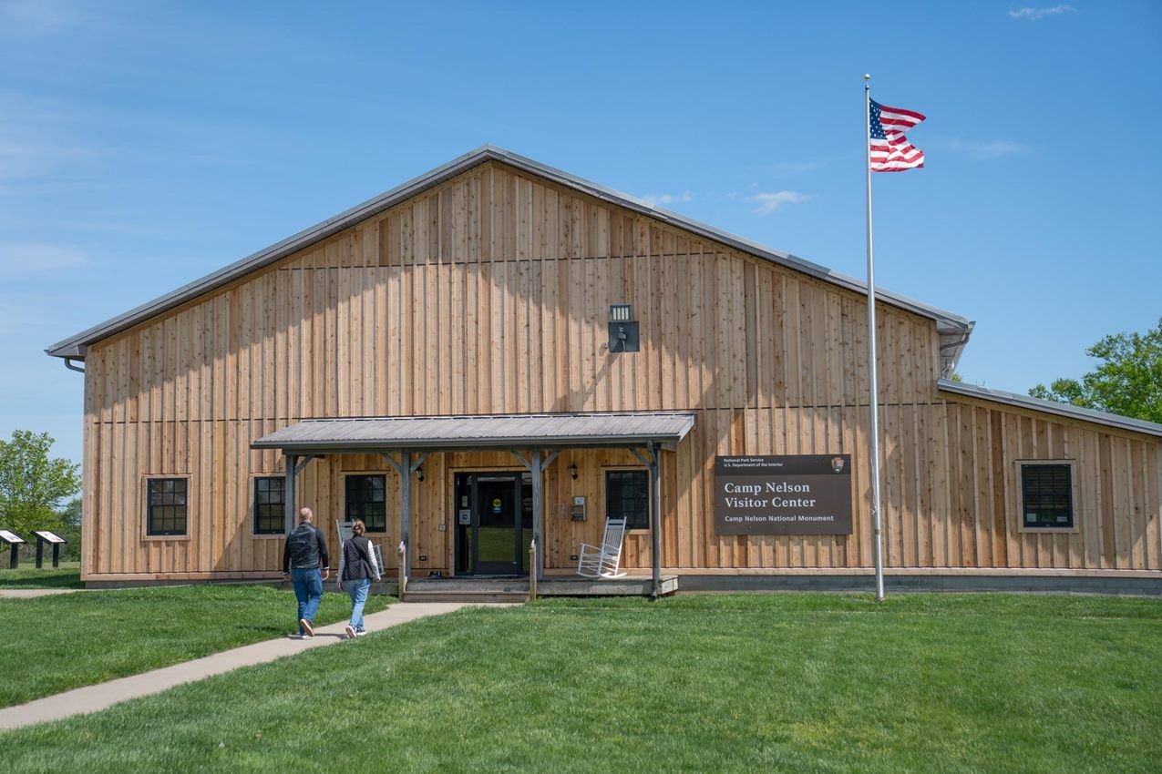
Camp Nelson National Monument Visitor Center and Museum
NPS/A. Goetz
NPS photograph credited without copyright restriction
Source & attribution ↗
Resized; some display frames crop the image.
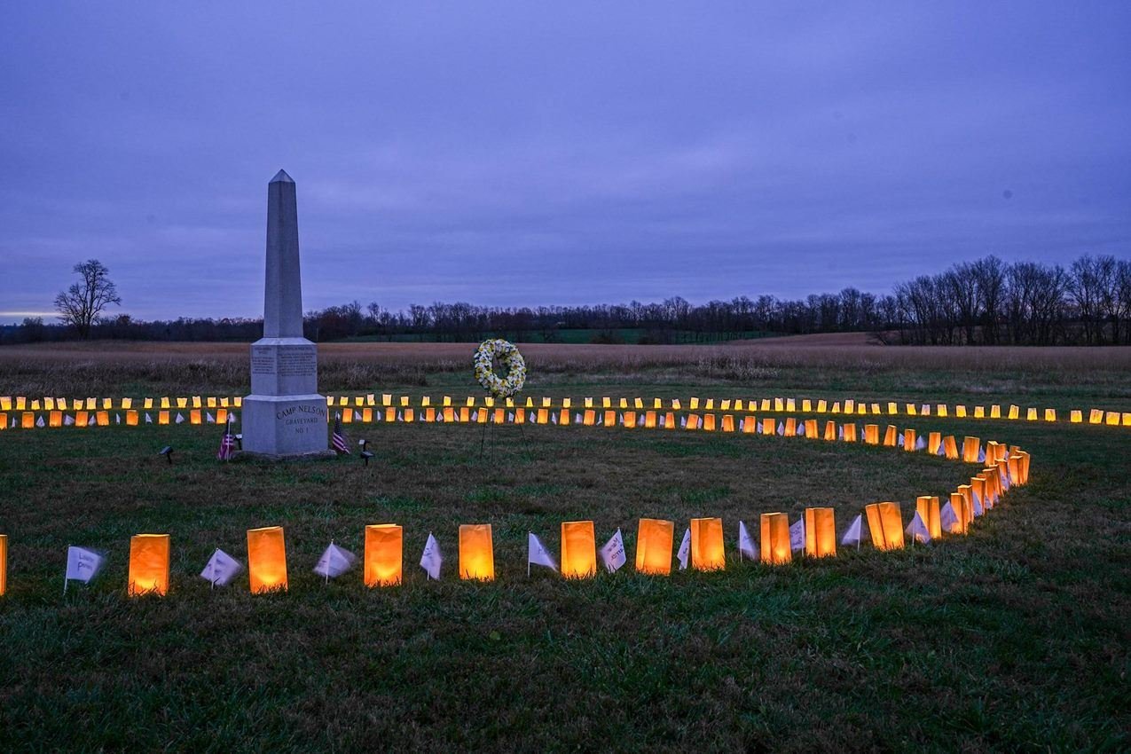
4th Annual Luminaria and Memorial Walk
NPS/AG
NPS photograph credited without copyright restriction
Source & attribution ↗
Resized; some display frames crop the image.
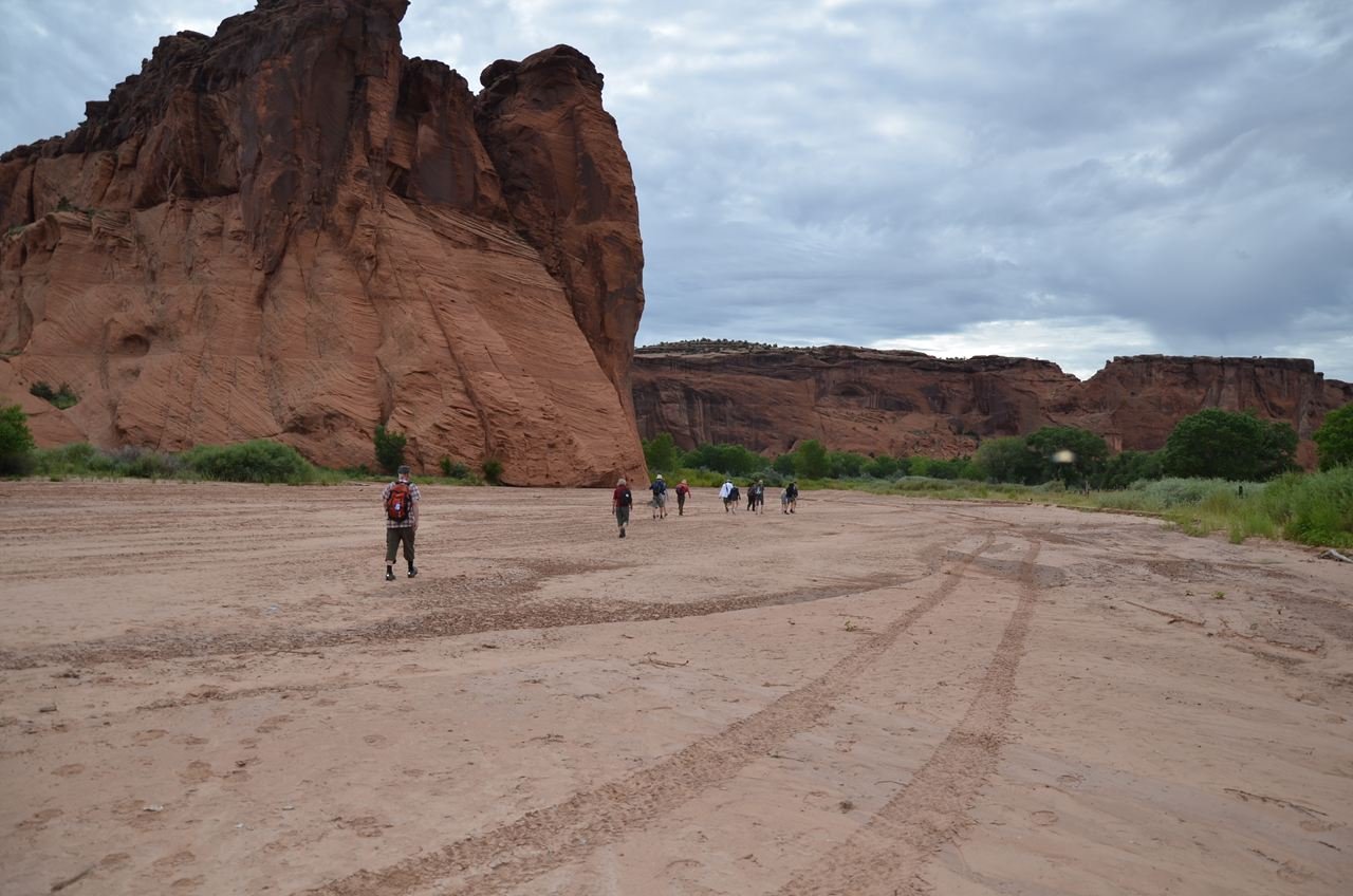
Visitors can enjoy a free ranger led hike into the canyon
NPS Photo
NPS photograph credited without copyright restriction
Source & attribution ↗
Resized; some display frames crop the image.
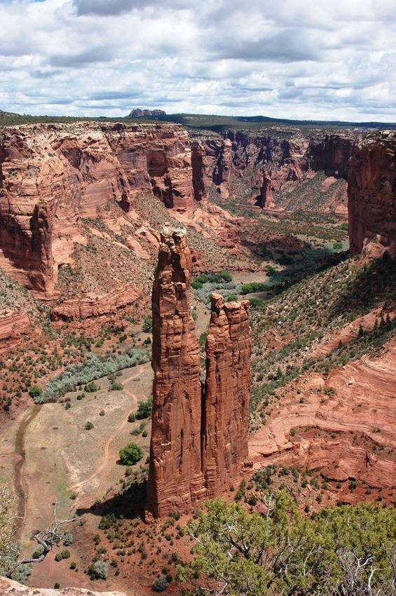
Her home on top of Spider Rock, Spider Woman taught the Navajo people how to weave
NPS Photo
NPS photograph credited without copyright restriction
Source & attribution ↗
Resized; some display frames crop the image.
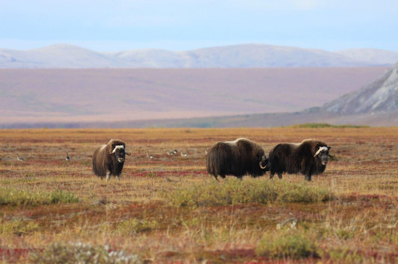
Muskox and Greater White-fronted Geese on vegetated beach ridges in front of the Igichuk Hills.
NPS Photo
NPS photograph credited without copyright restriction
Source & attribution ↗
Resized; some display frames crop the image.
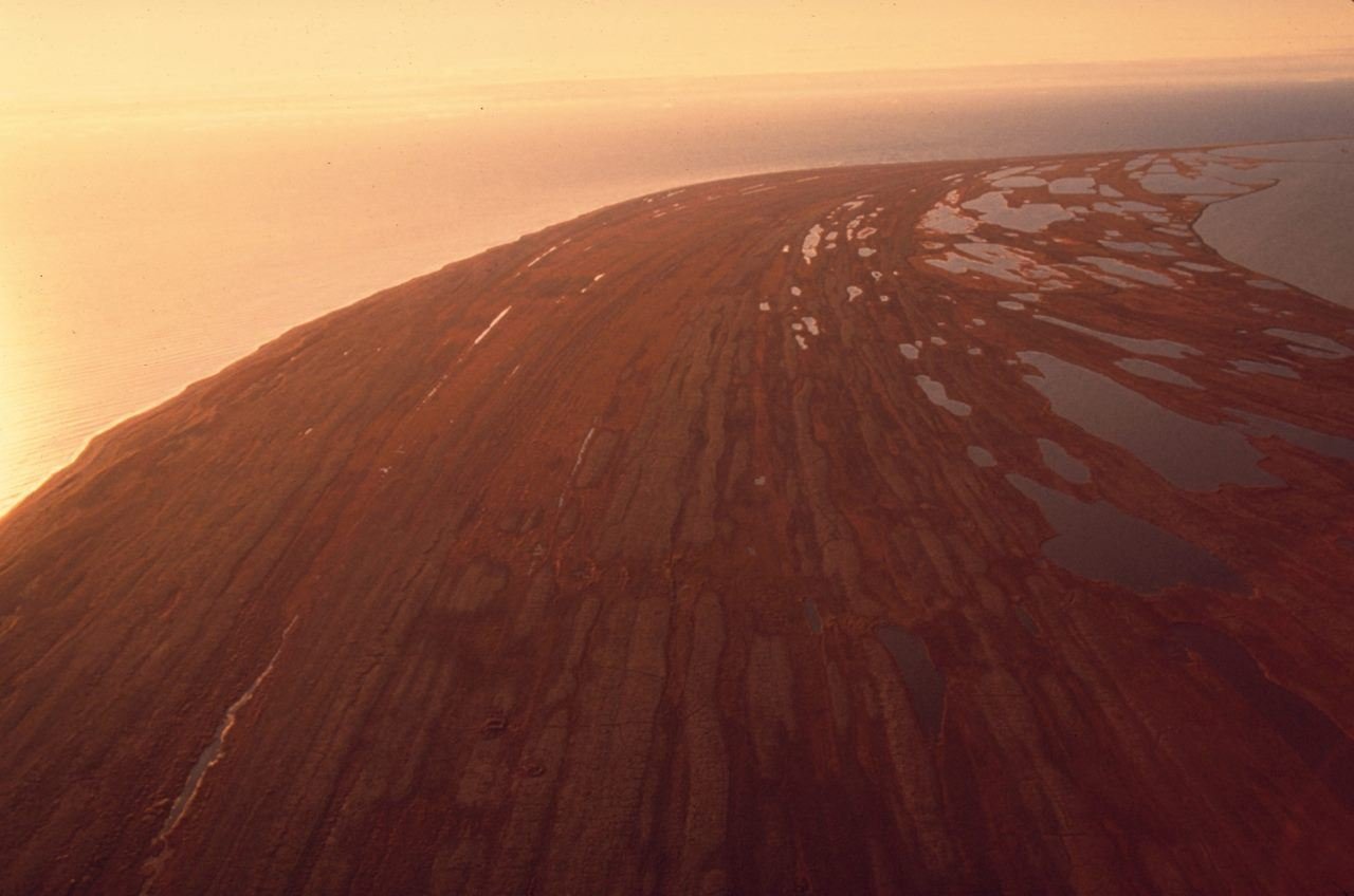
Beach ridges created by years of wave action during storms can be seen as parallel lines in the fall vegetation covering the old gravel.
NPS Photo
NPS photograph credited without copyright restriction
Source & attribution ↗
Resized; some display frames crop the image.
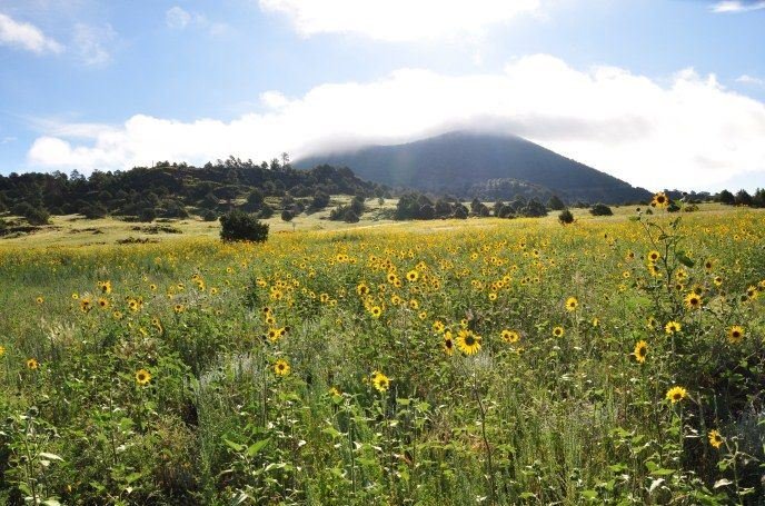
Capulin Volcano in summer.
NPS photo/ R. Richman
NPS photograph credited without copyright restriction
Source & attribution ↗
Resized; some display frames crop the image.
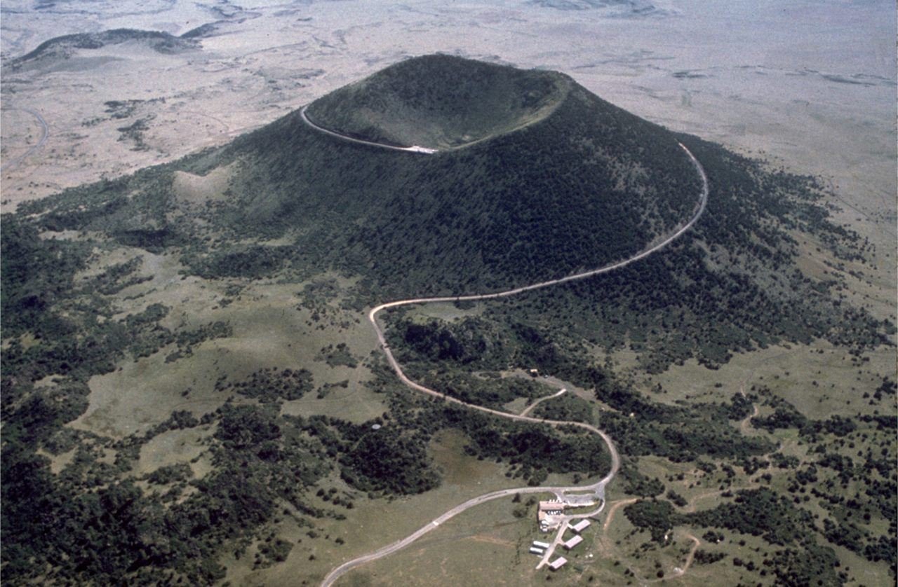
Capulin Volcano is a classic example of a cinder cone. The crater is approximately 130 m (420 ft) deep and 440 m (1,450 ft) across. The base of the mountain is 6 km (4 mi) in circumference. Volcano Road spirals up the volcano, providing panoramic views.
NPS photo
NPS photograph credited without copyright restriction
Source & attribution ↗
Resized; some display frames crop the image.
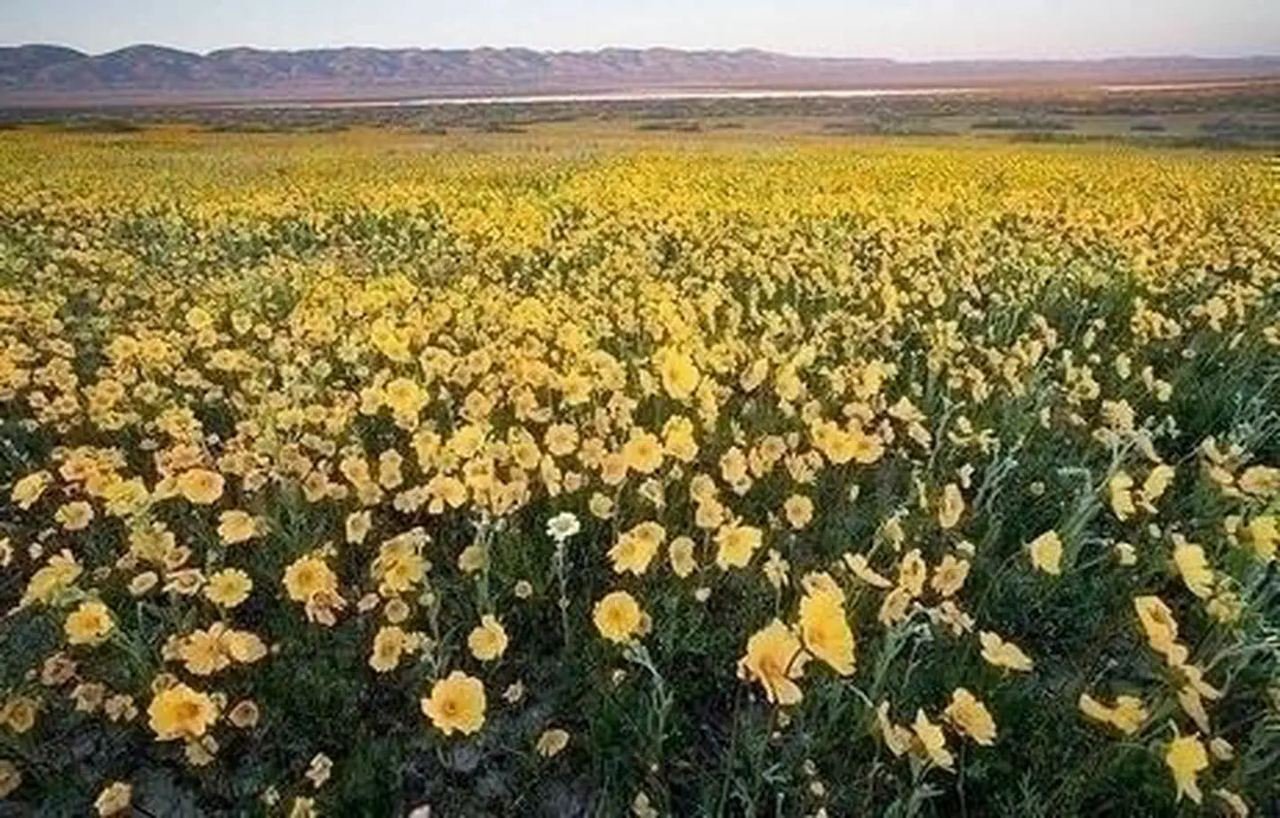
Carrizo Plain National Monument
Bob Wick/BLM
Federal-agency photograph credited to BLM
Source & attribution ↗
Resized; some display frames crop the image.
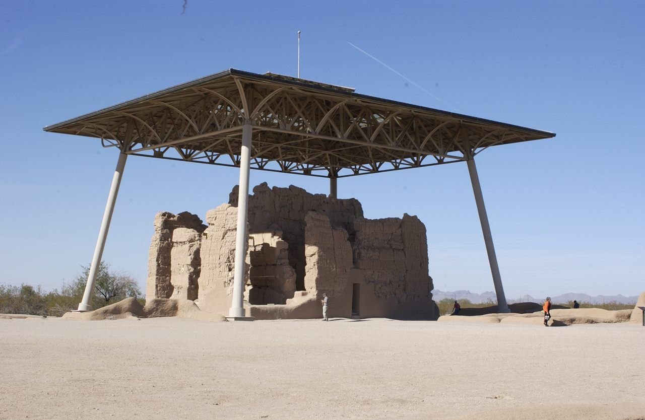
The Great House at Casa Grande Ruins has existed for over 600 years.
NPS Photo
NPS photograph credited without copyright restriction
Source & attribution ↗
Resized; some display frames crop the image.
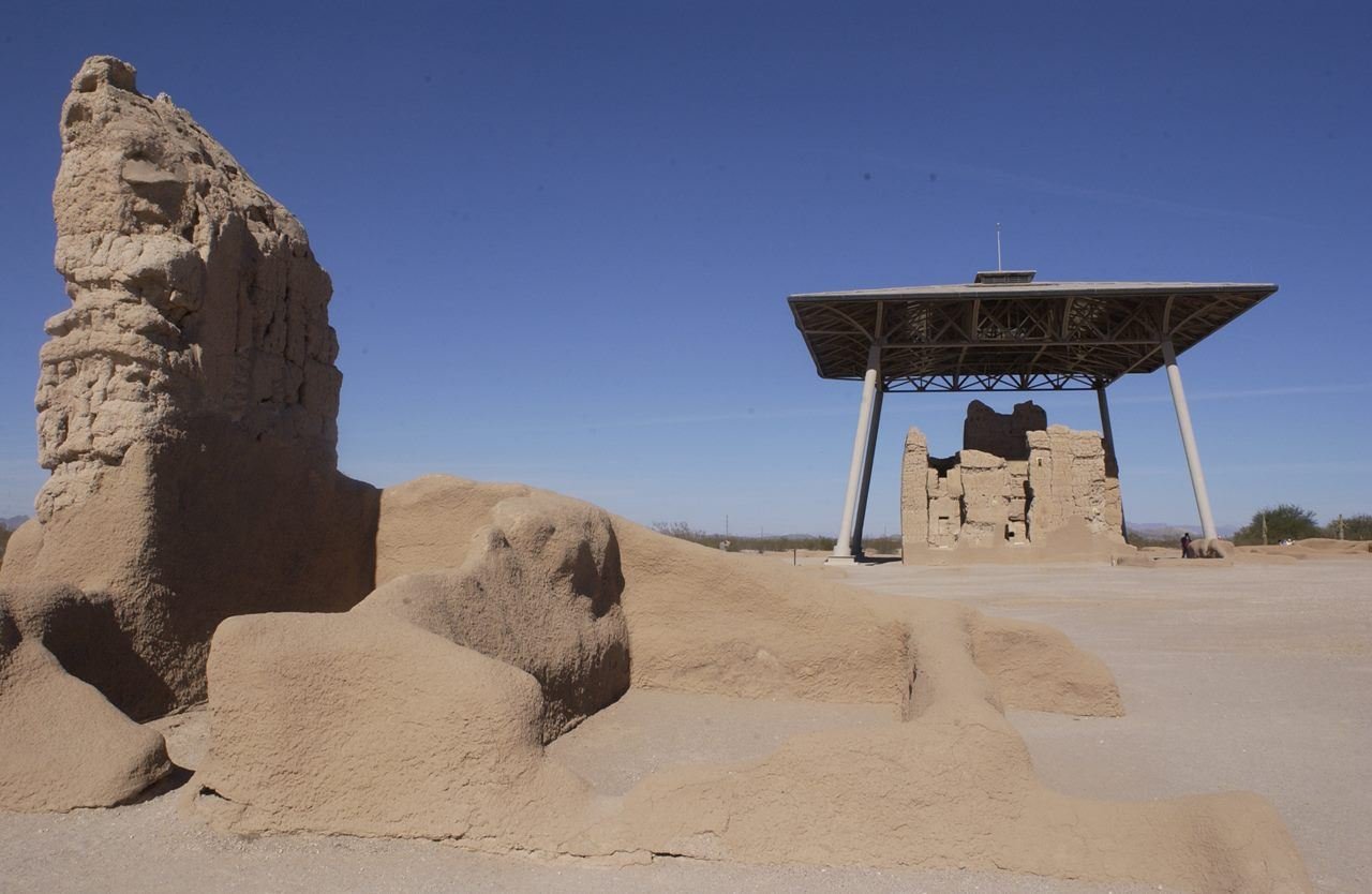
A highlight of Compound A is the Great House but it is not the only earthern building to intrigue visitors.
NPS Photo
NPS photograph credited without copyright restriction
Source & attribution ↗
Resized; some display frames crop the image.
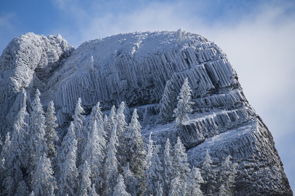
First snow on Pilot Rock, Cascade-Siskiyou National Monument
BLM
Federal-agency photograph credited to BLM
Source & attribution ↗
Resized; some display frames crop the image.
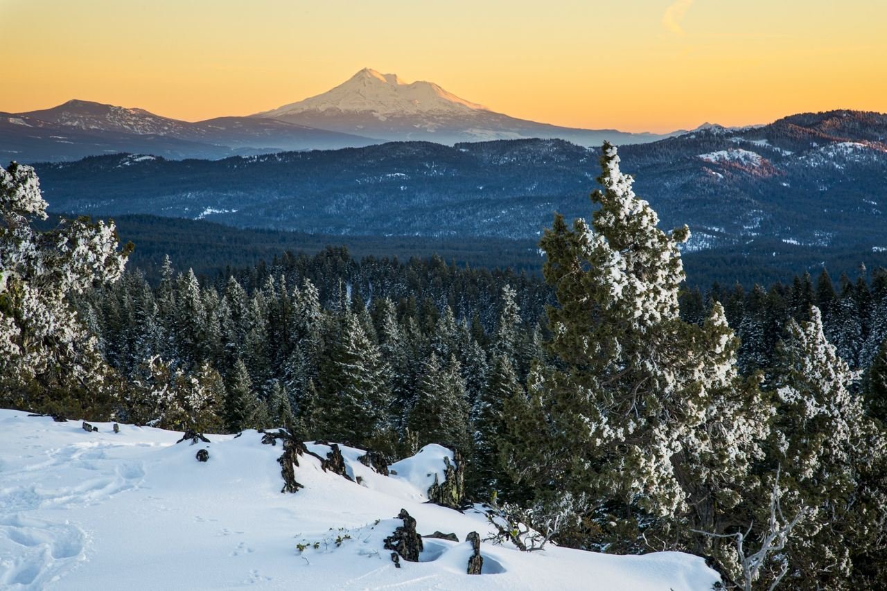
Winter at Cascade-Siskiyou National Monument
Bob Wick, BLM
Federal-agency photograph credited to BLM
Source & attribution ↗
Resized; some display frames crop the image.
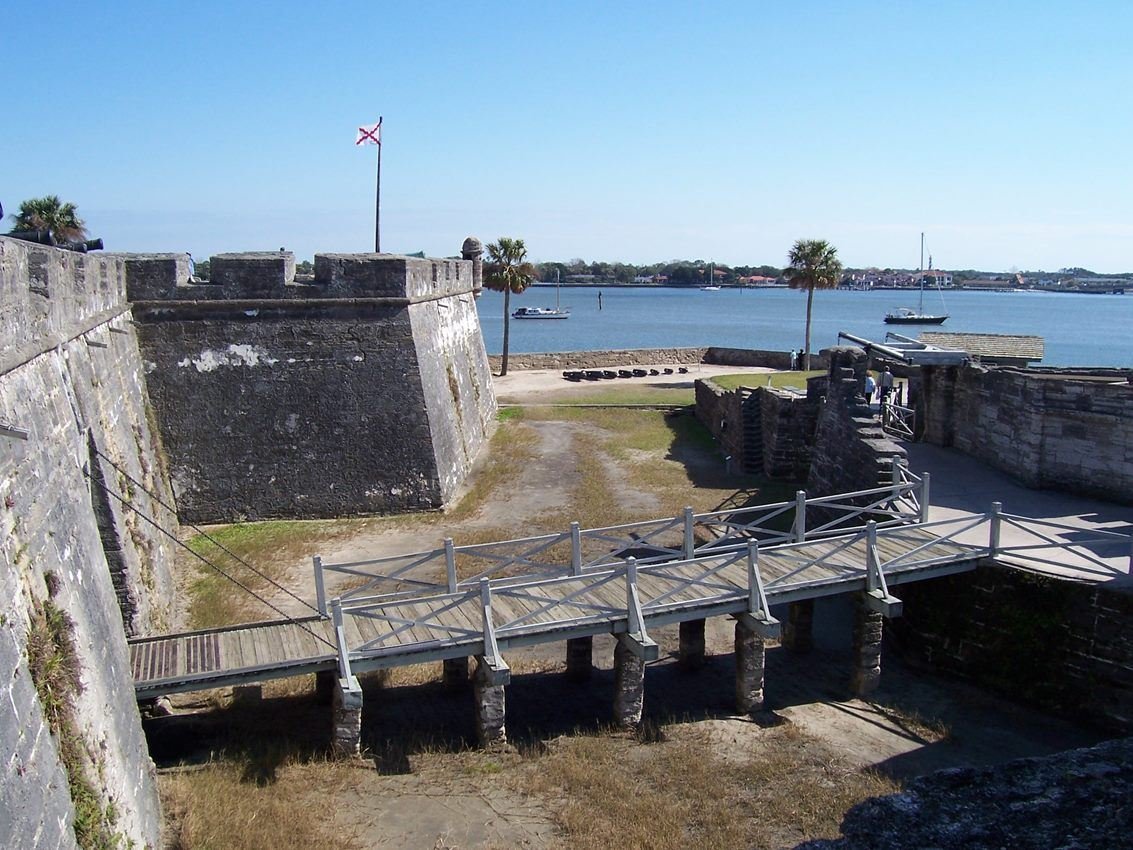
Crossing a dry moat, this drawbridge was the only way into the Castillo.
NPS Photo
NPS photograph credited without copyright restriction
Source & attribution ↗
Resized; some display frames crop the image.
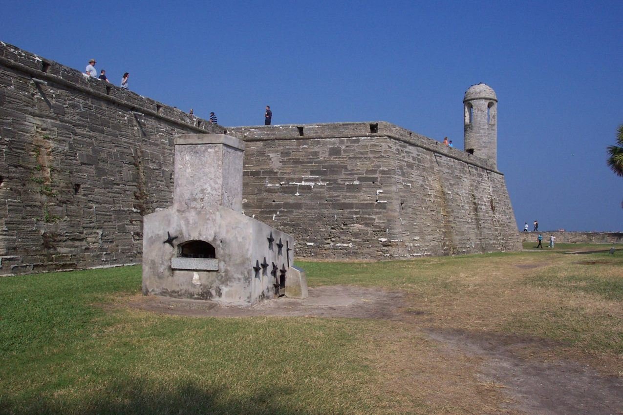
This furnace, in the water battery on the east side of the Castillo, heated cannonballs red hot to be fired at wooden vessels.
NPS Photo
NPS photograph credited without copyright restriction
Source & attribution ↗
Resized; some display frames crop the image.
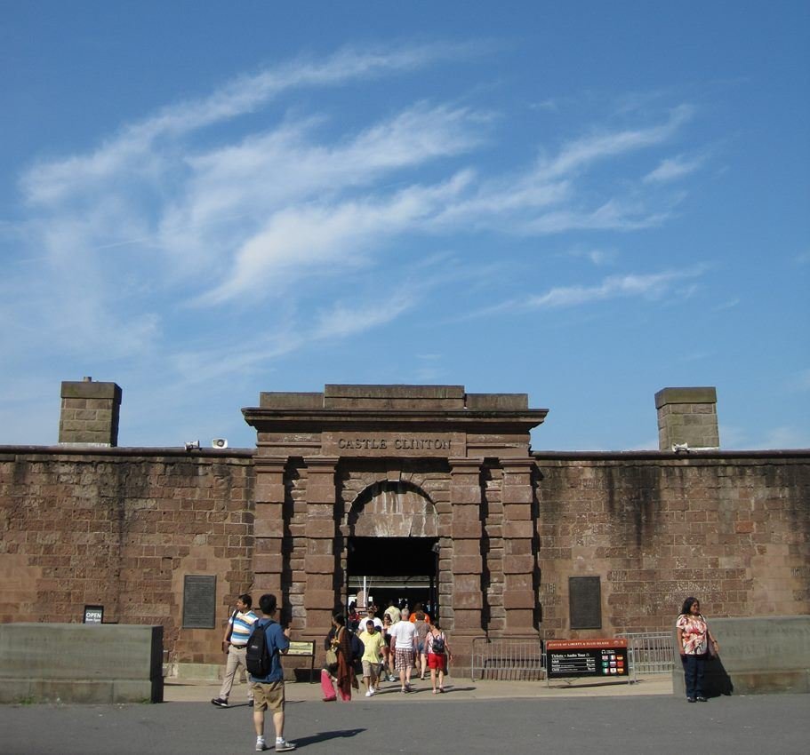
Castle Clinton stands where New York City began.
NPS Photo/Laura Brennan
NPS photograph credited without copyright restriction
Source & attribution ↗
Resized; some display frames crop the image.
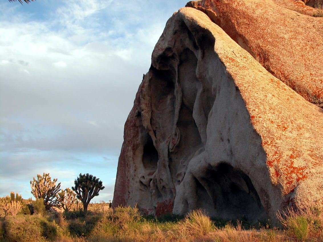
Red rocks frame a stand of Joshua trees and sage brush in the desert floor..
NPS Photo
NPS photograph credited without copyright restriction
Source & attribution ↗
Resized; some display frames crop the image.
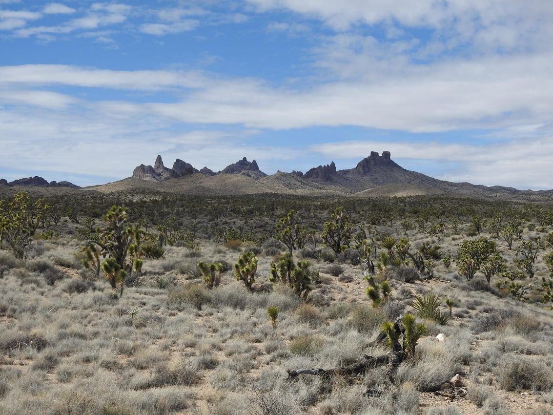
From Walking Box Ranch road, visitors to Castle Mountains can enjoy the stunning view of the Castle Peaks, which are located in surrounding Mojave National Preserve lands.
NPS Photo
NPS photograph credited without copyright restriction
Source & attribution ↗
Resized; some display frames crop the image.
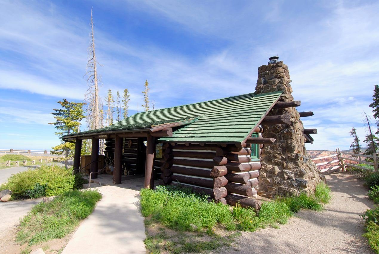
This log cabin built in 1937 housing the information center and park store.
NPS Photo
NPS photograph credited without copyright restriction
Source & attribution ↗
Resized; some display frames crop the image.
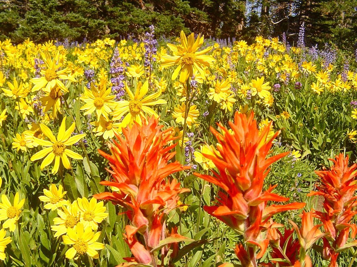
Cedar Breaks is famous for wildflowers blooming throughout the summer!
NPS Photo
NPS photograph credited without copyright restriction
Source & attribution ↗
Resized; some display frames crop the image.
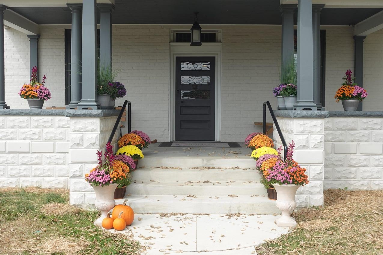
The front of Youngsholm, the park's visitor center
NPS / Roger Osorio
NPS photograph credited without copyright restriction
Source & attribution ↗
Resized; some display frames crop the image.
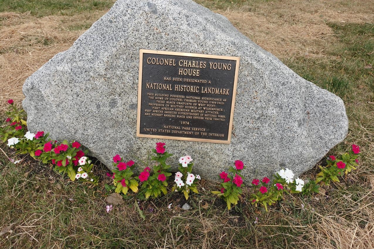
The large stone boulder with Historic Plaque affixed to it, sits in the front yard of Youngsholm
NPS / Roger Osorio
NPS photograph credited without copyright restriction
Source & attribution ↗
Resized; some display frames crop the image.
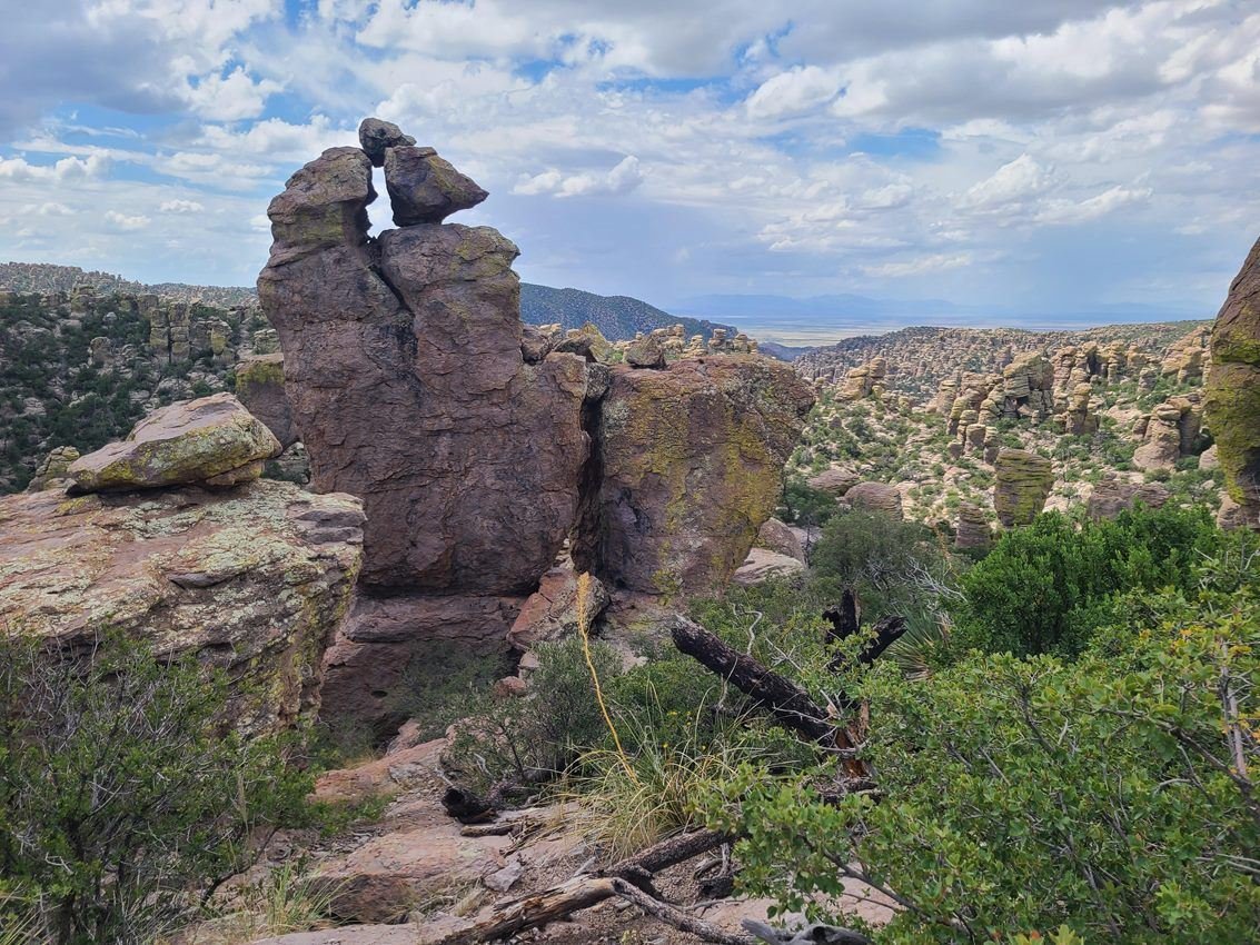
Massai Point offers excellent views of the standing rocks at Chiricahua
NPS Photo
NPS photograph credited without copyright restriction
Source & attribution ↗
Resized; some display frames crop the image.
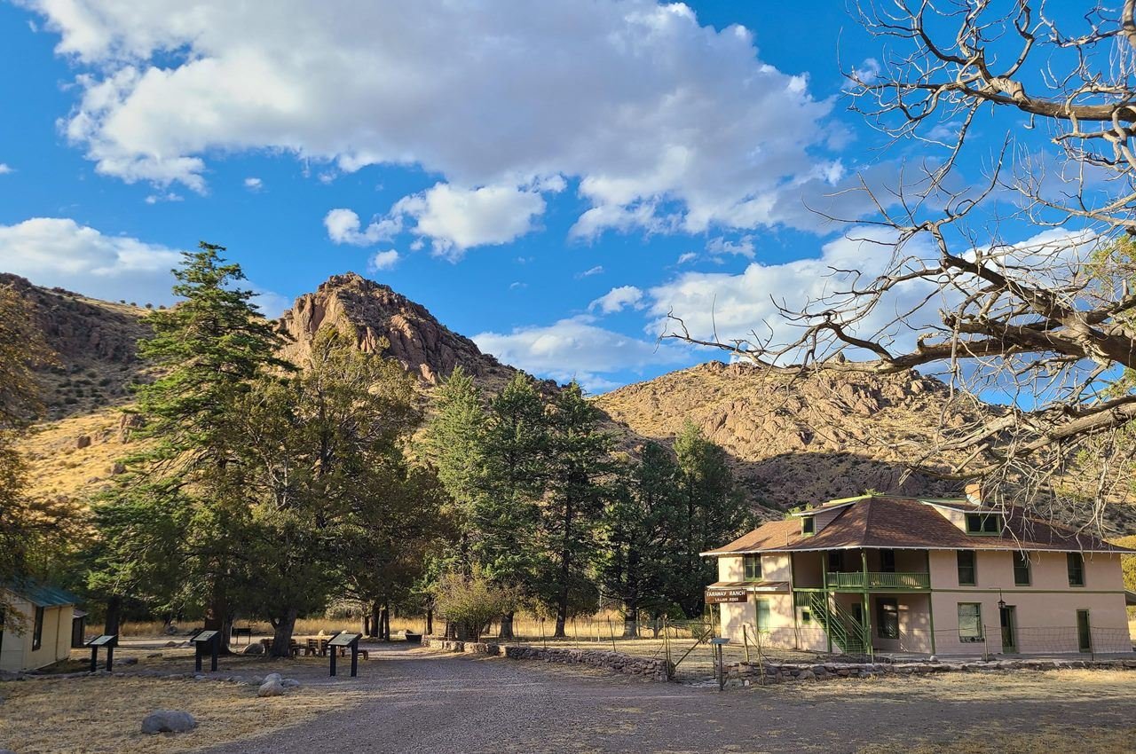
Faraway Ranch and its settlers helped visitors discover the Wonderland of Rocks.
NPS Photo
NPS photograph credited without copyright restriction
Source & attribution ↗
Resized; some display frames crop the image.
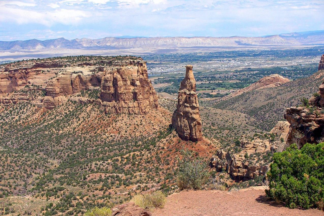
Independence Monument as seen from Rim Rock Drive is an icon of the larger national monument.
NPS Photo
NPS photograph credited without copyright restriction
Source & attribution ↗
Resized; some display frames crop the image.
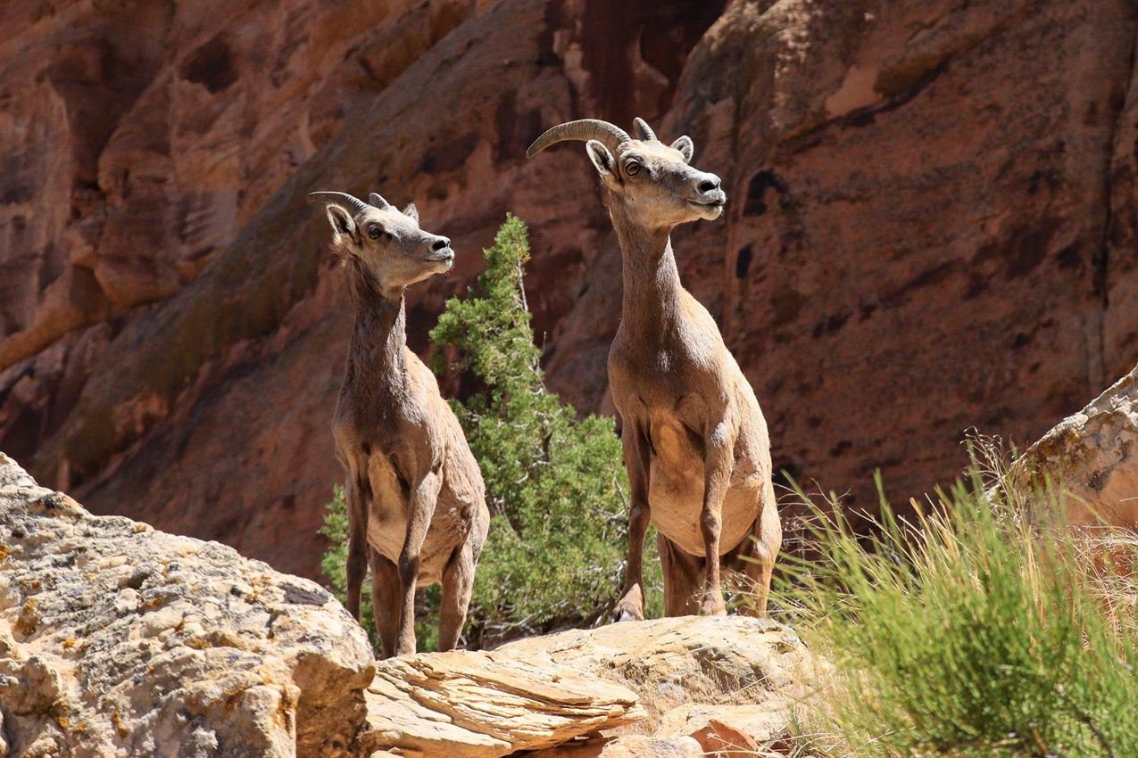
Desert bighorn sheep are often seen along Rim Rock Drive.
NPS Photo / VIP C DeKalb
NPS photograph credited without copyright restriction
Source & attribution ↗
Resized; some display frames crop the image.
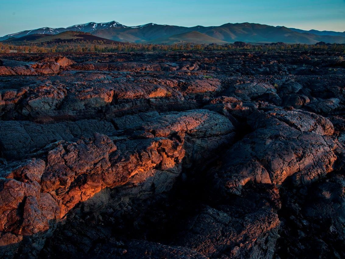
Craters of the Moon features the largest young lava field in the lower 48 states, encompassing the entire Great Rift volcanic zone.
NPS / David Hunter
NPS photograph credited without copyright restriction
Source & attribution ↗
Resized; some display frames crop the image.
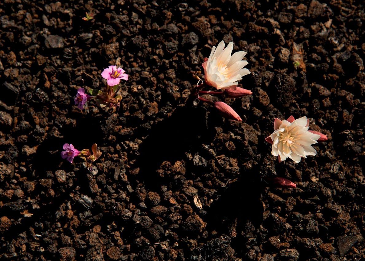
Spectacular floral displays occur at Craters each spring, including this dwarf monkeyflower and bitterroot.
NPS / David Hunter
NPS photograph credited without copyright restriction
Source & attribution ↗
Resized; some display frames crop the image.
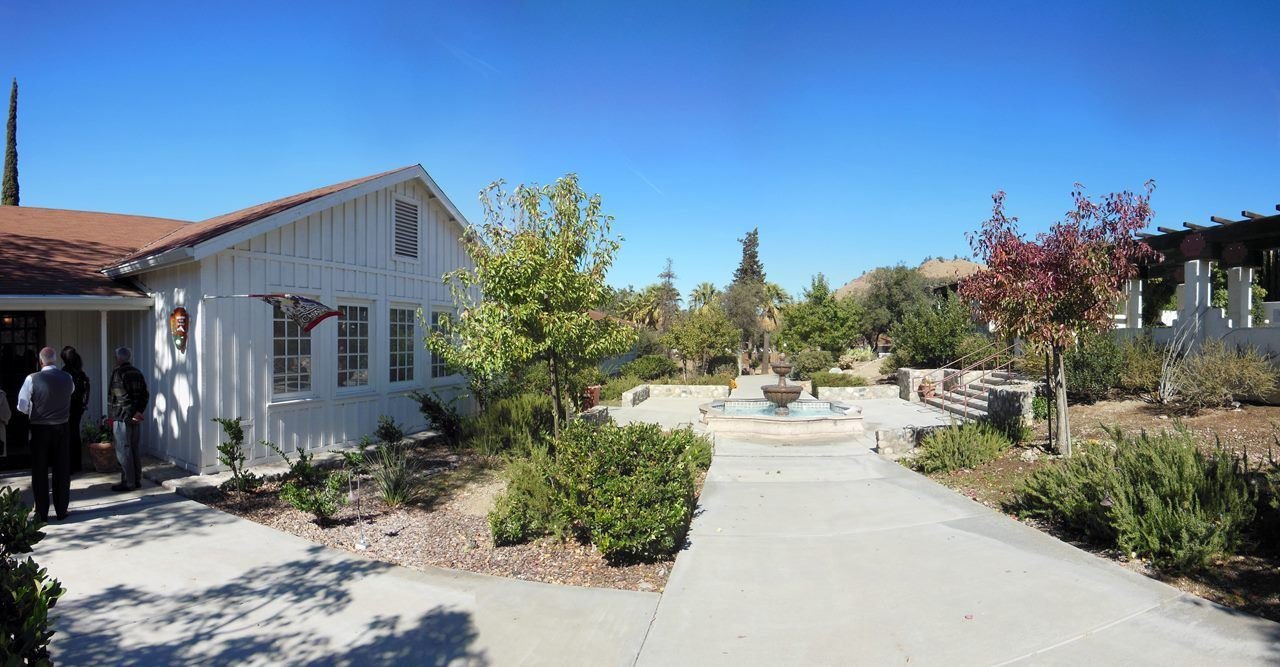
A walkway separates the entrances to the visitor center and the memorial garden.
NPS
NPS photograph credited without copyright restriction
Source & attribution ↗
Resized; some display frames crop the image.
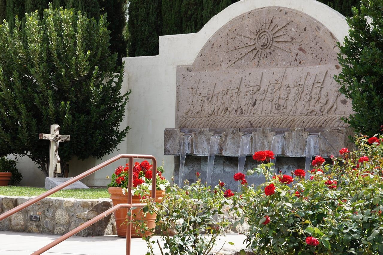
Roses grow in the memorial garden near the gravesite of César Chávez.
NPS/Ruben Andrade
NPS photograph credited without copyright restriction
Source & attribution ↗
Resized; some display frames crop the image.
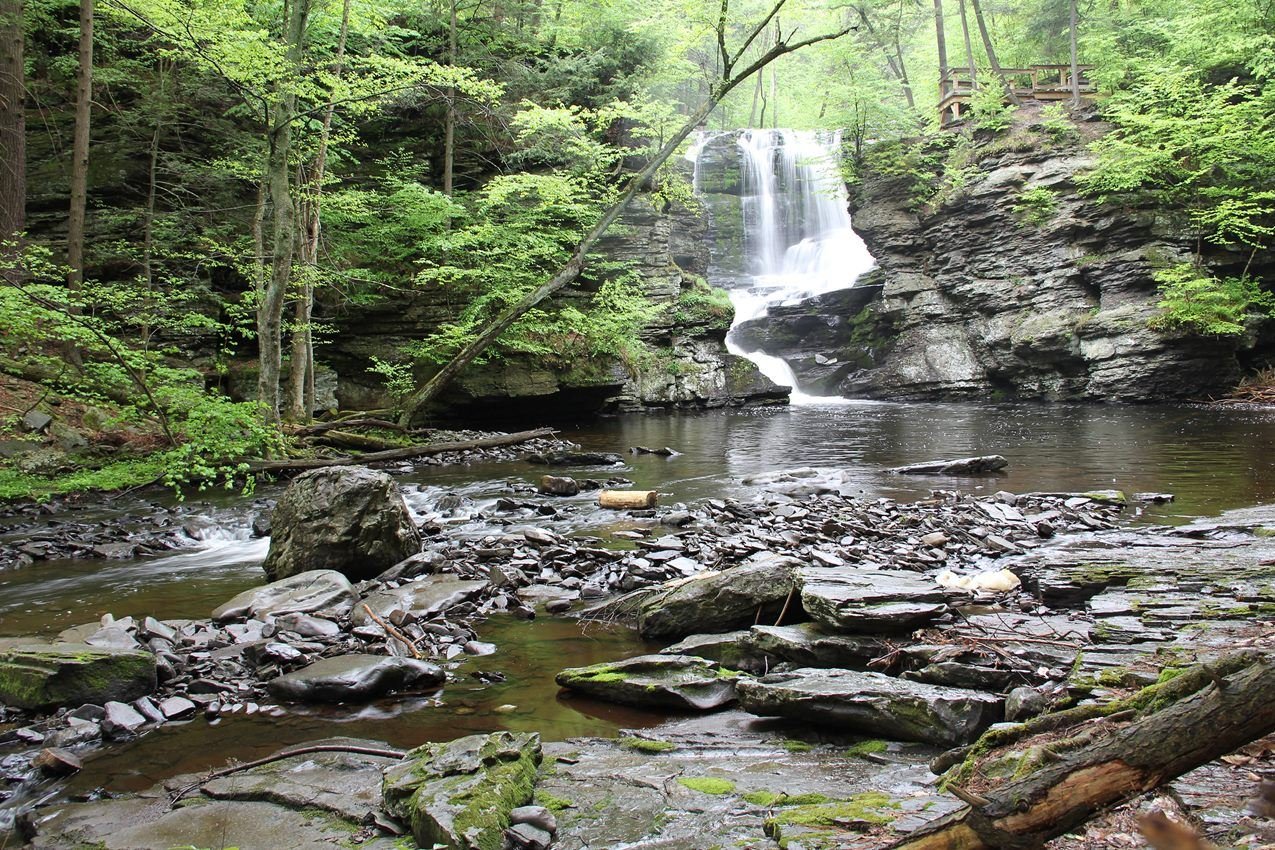
Fulmer Falls is the second of three waterfalls in George W. Childs Park
NPS Photo
NPS photograph credited without copyright restriction
Source & attribution ↗
Resized; some display frames crop the image.
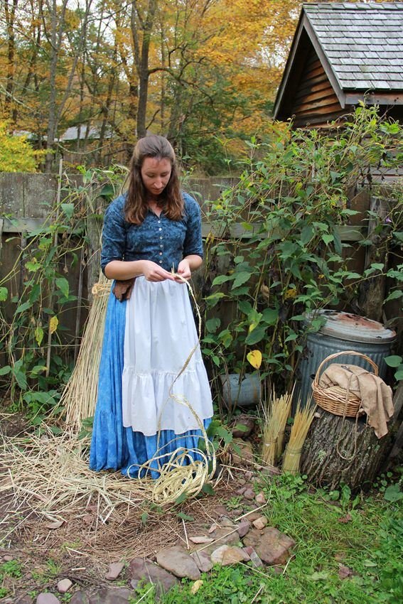
A woman braids rye straw for hatmaking
NPS Photo
NPS photograph credited without copyright restriction
Source & attribution ↗
Resized; some display frames crop the image.
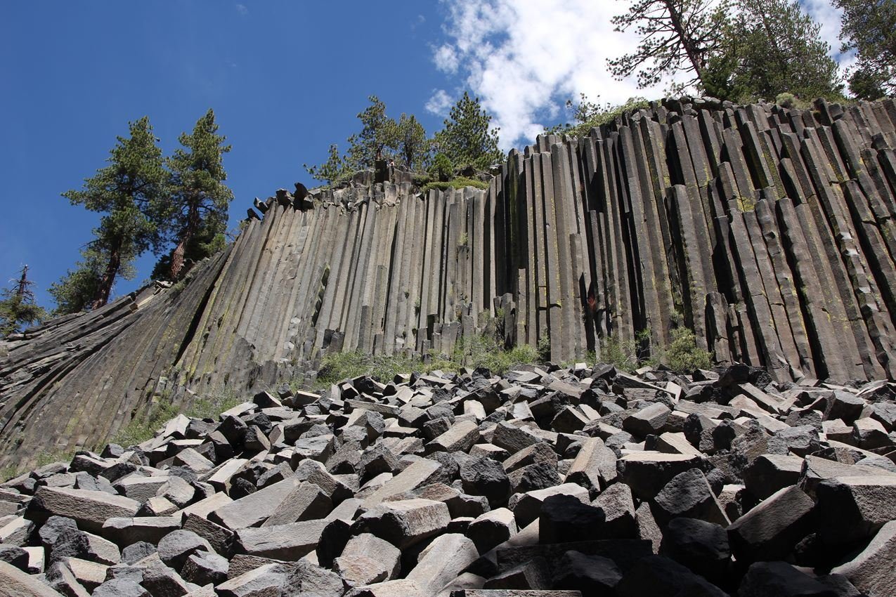
Devils Postpile formation is one of many features to see at Devils Postpile National Monument.
NPS Photo
NPS photograph credited without copyright restriction
Source & attribution ↗
Resized; some display frames crop the image.
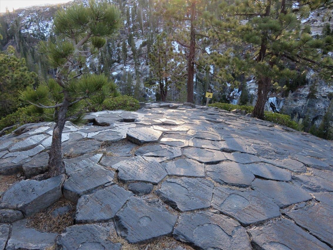
Part of the popular loop trail will take you to this unique geologic formation.
NPS Photo
NPS photograph credited without copyright restriction
Source & attribution ↗
Resized; some display frames crop the image.
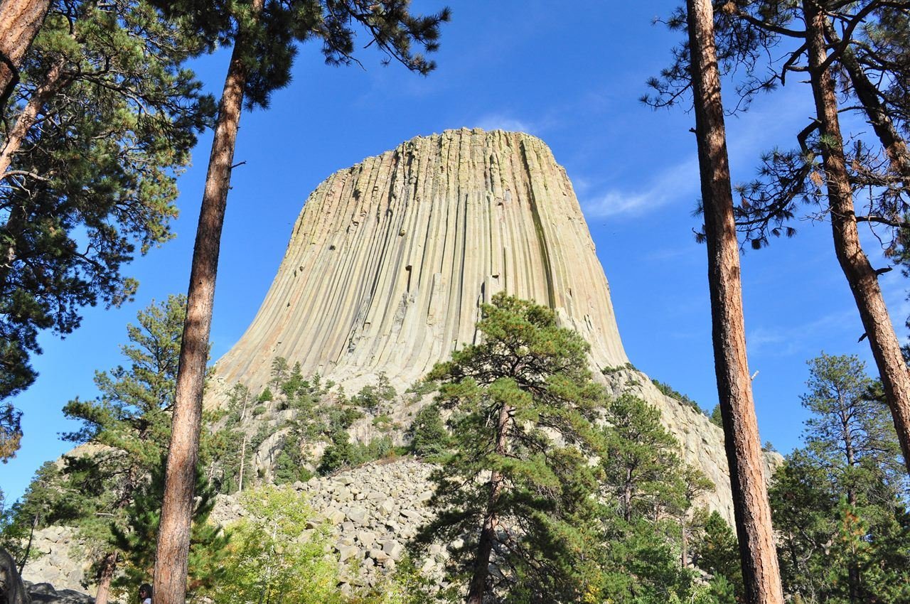
Devils Tower looming above the trees
NPS/ S. Carter
NPS photograph credited without copyright restriction
Source & attribution ↗
Resized; some display frames crop the image.
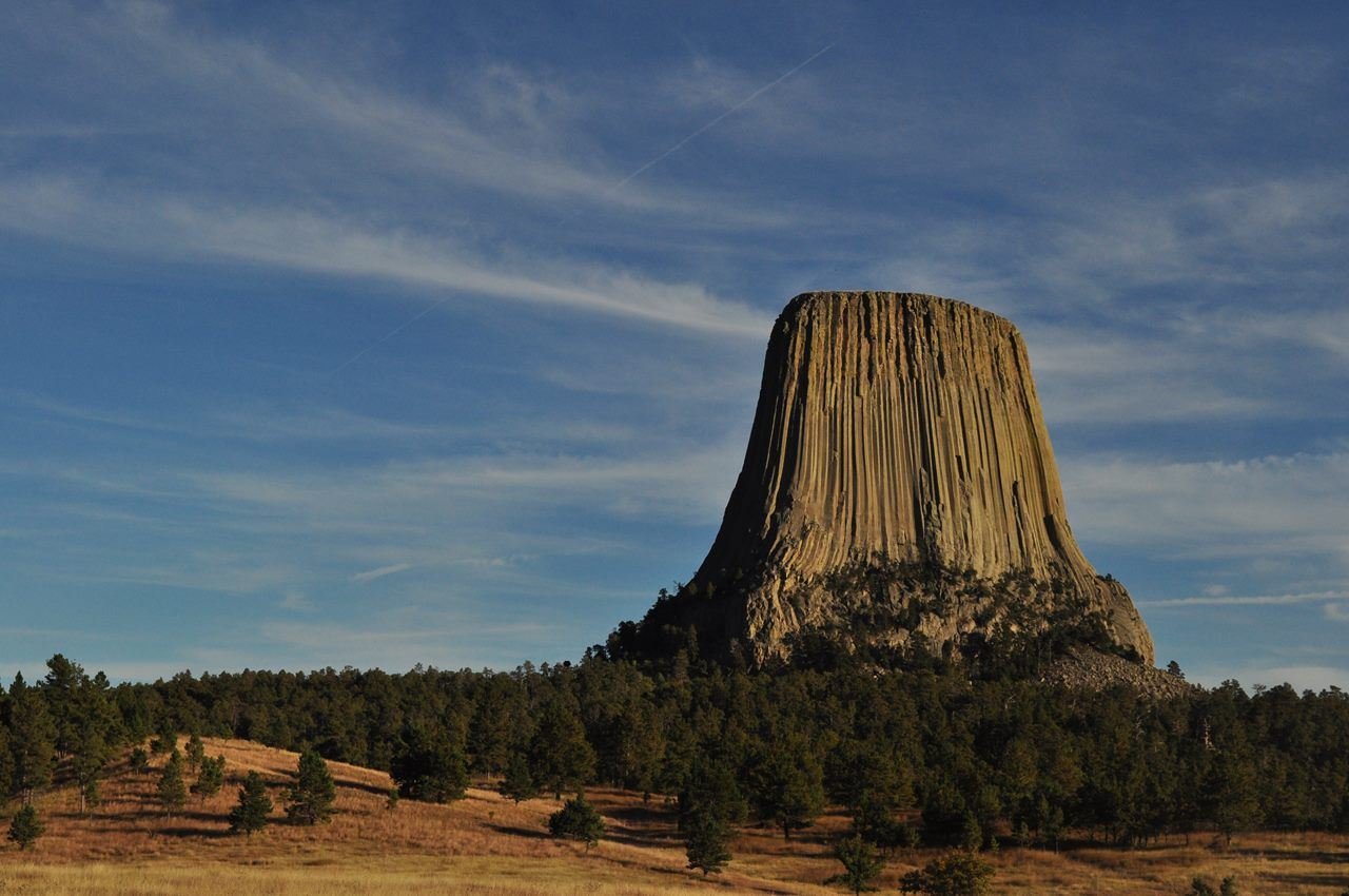
Devils Tower from the Joyner Ridge Trail
NPS/ S. Carter
NPS photograph credited without copyright restriction
Source & attribution ↗
Resized; some display frames crop the image.
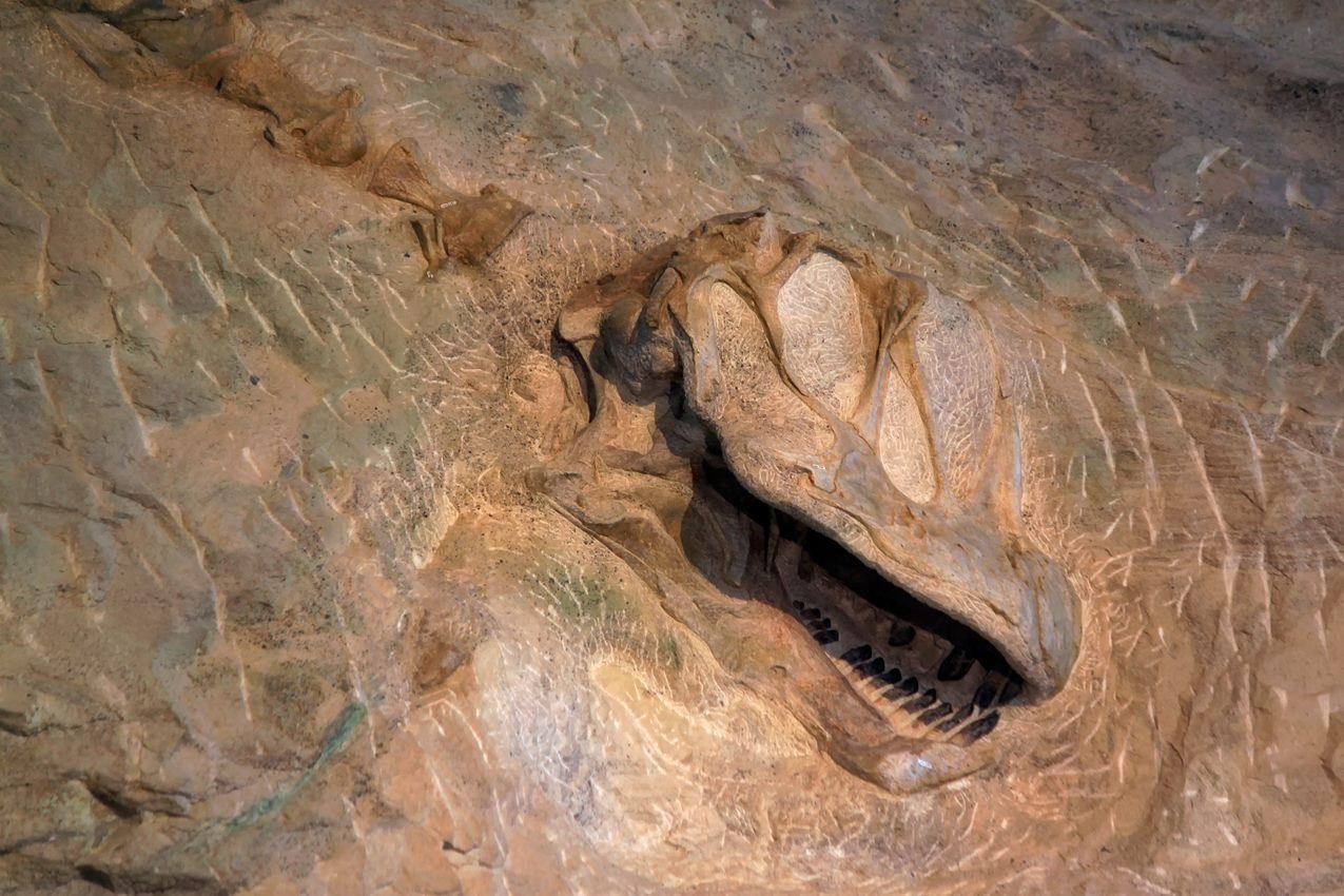
Over 1500 fossilized bones of various dinosaurs are still embedded in the cliff face including a skull and several neck vertebrae of a camarasaurus
NPS Photo / Dan Johnson
NPS photograph credited without copyright restriction
Source & attribution ↗
Resized; some display frames crop the image.
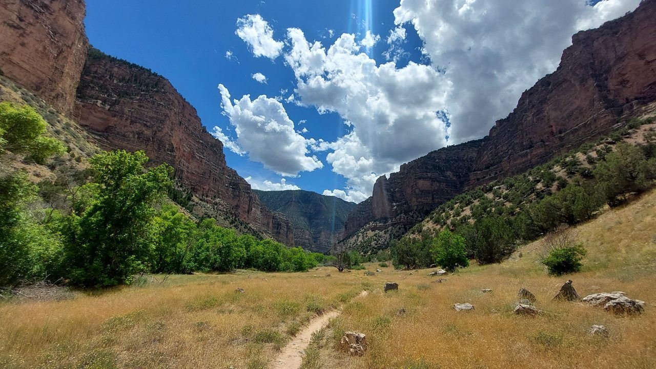
The Jones Hole Trail offers remote solitude in the wilderness of the monument.
NPS Photo/Conrad Provan
NPS photograph credited without copyright restriction
Source & attribution ↗
Resized; some display frames crop the image.
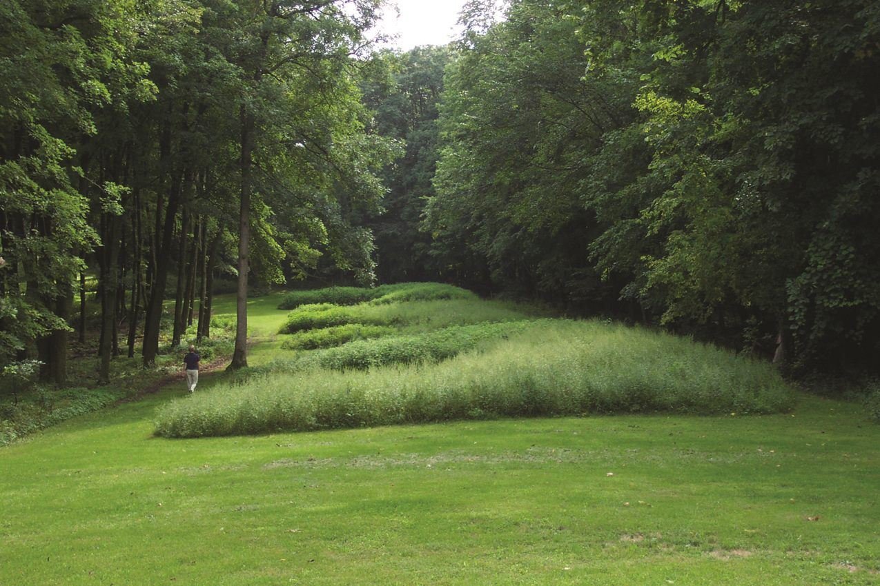
Marching Bear Mound Group in summer.
NPS Photo
NPS photograph credited without copyright restriction
Source & attribution ↗
Resized; some display frames crop the image.
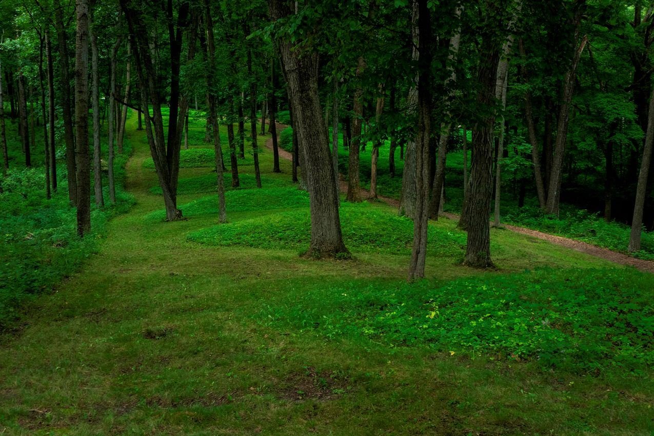
Follow a line of conical mounds that will lead you out to Fire Point which overlooks the Mississippi River.
NPS Photo/ Eaton Cote'
NPS photograph credited without copyright restriction
Source & attribution ↗
Resized; some display frames crop the image.
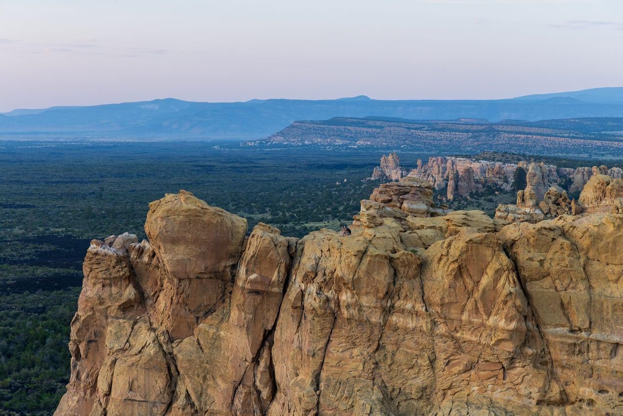
Sandstone Bluffs Overlook offers a beautiful view over the vast volcanic landscape of El Malpais.
NPS Kristi Rugg
NPS photograph credited without copyright restriction
Source & attribution ↗
Resized; some display frames crop the image.
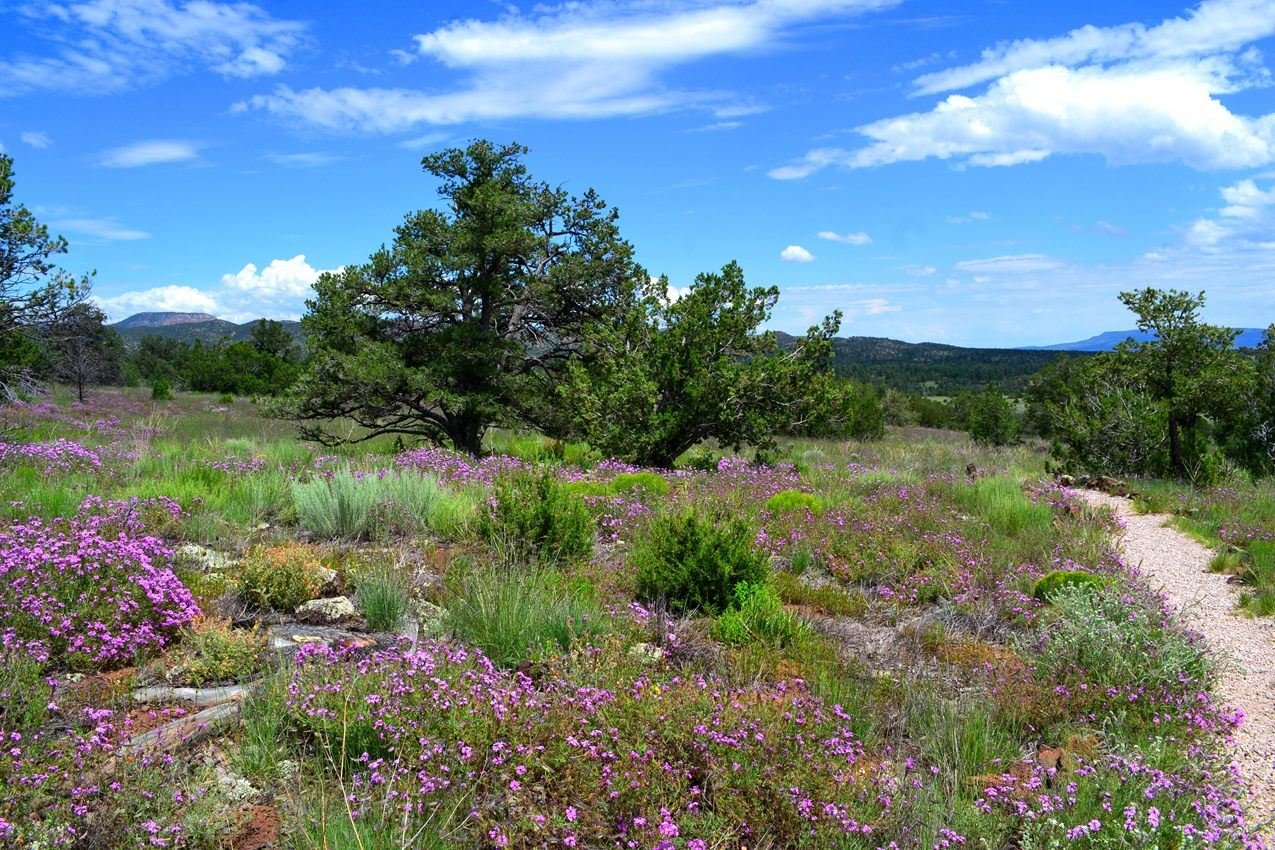
Enjoy a stroll along the El Calderon Trail to view beautiful wildflowers in summer.
NPS Photo/ Maci MacPherson
NPS photograph credited without copyright restriction
Source & attribution ↗
Resized; some display frames crop the image.
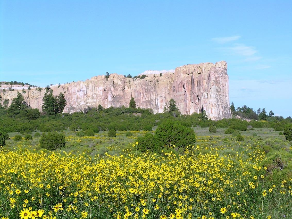
El Morro with Sunflowers
NPS Photo
NPS photograph credited without copyright restriction
Source & attribution ↗
Resized; some display frames crop the image.
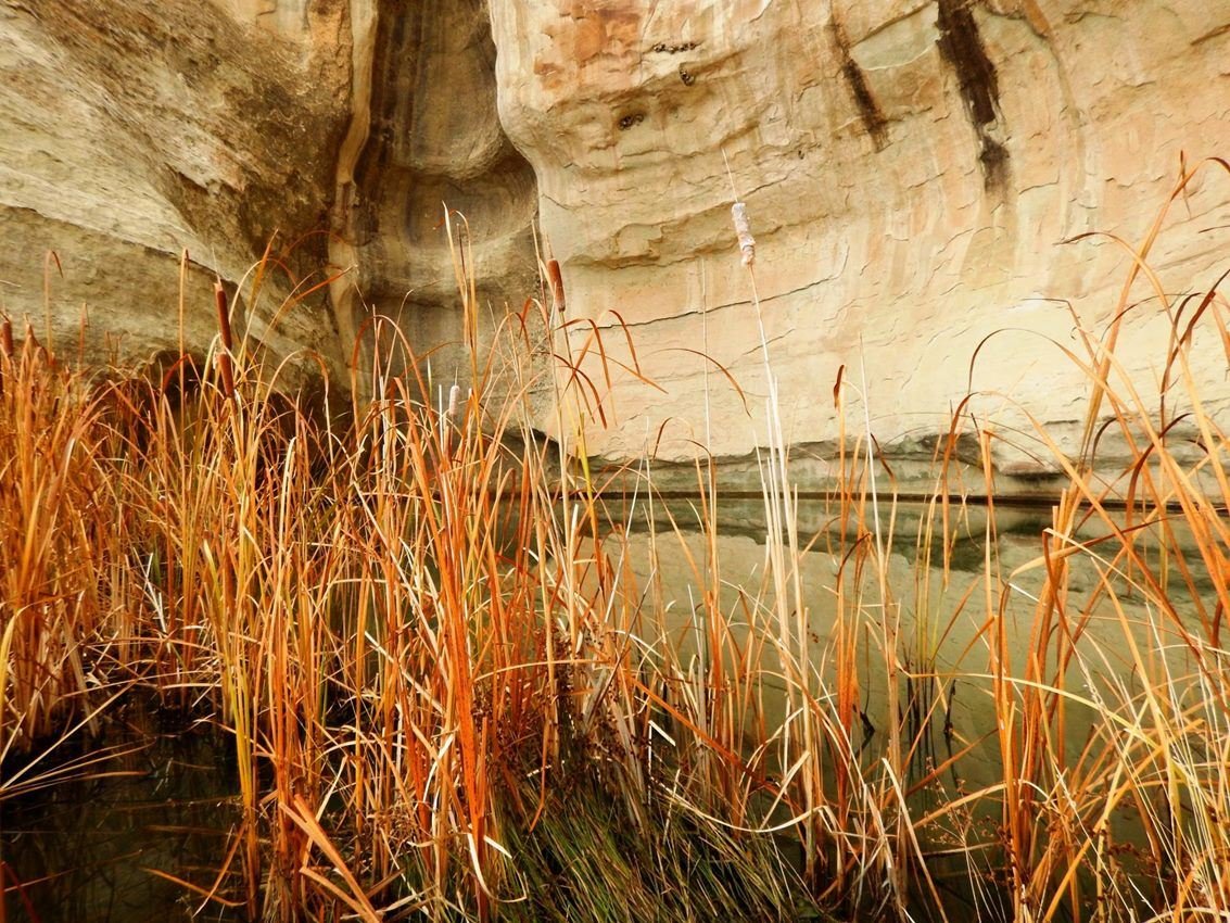
A drinking hole for visitors for hundreds of years, the pool at El Morro has significant cultural and historical value.
NPS Photo
NPS photograph credited without copyright restriction
Source & attribution ↗
Resized; some display frames crop the image.
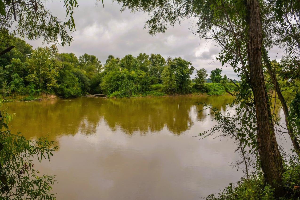
Fourteen-year-old Emmett Till’s body was found near Graball Landing on the Tallahatchie River following his lynching in 1955.
NPS / Chalice Keith
NPS photograph credited without copyright restriction
Source & attribution ↗
Resized; some display frames crop the image.
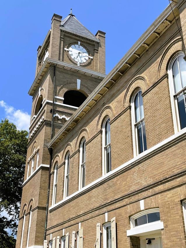
The trial of the men accused of lynching Emmett Till took place at the Tallahatchie County Courthouse in Sumner, Mississippi in 1955.
NPS / Stephanie Metzler
NPS photograph credited without copyright restriction
Source & attribution ↗
Resized; some display frames crop the image.
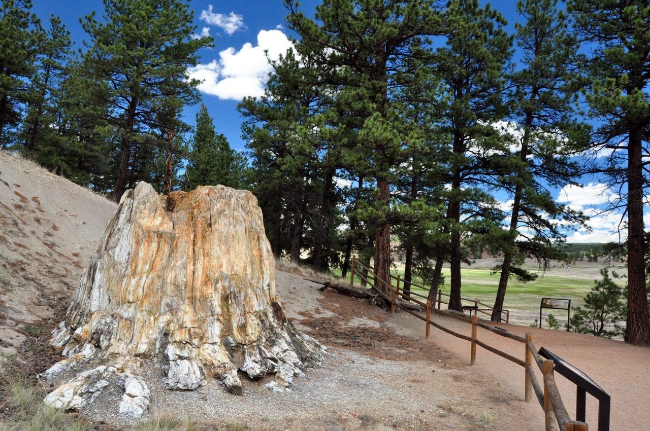
Walk the Petrified Trail Loop to see fossil redwood stumps
NPS Photo
NPS photograph credited without copyright restriction
Source & attribution ↗
Resized; some display frames crop the image.
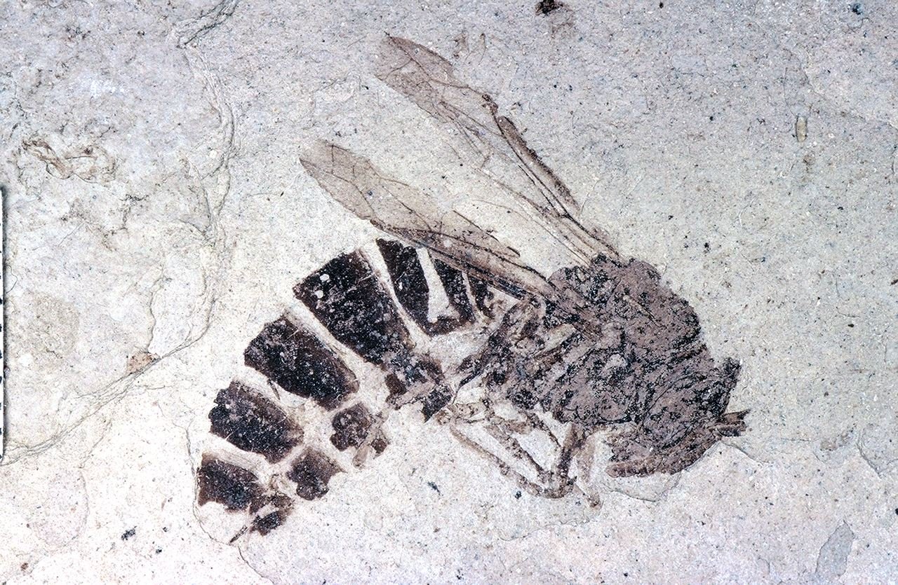
Captured 34 million years ago, this ancient wasp and other insects are on display at Florissant Fossil Beds NM.
NPS Photo
NPS photograph credited without copyright restriction
Source & attribution ↗
Resized; some display frames crop the image.
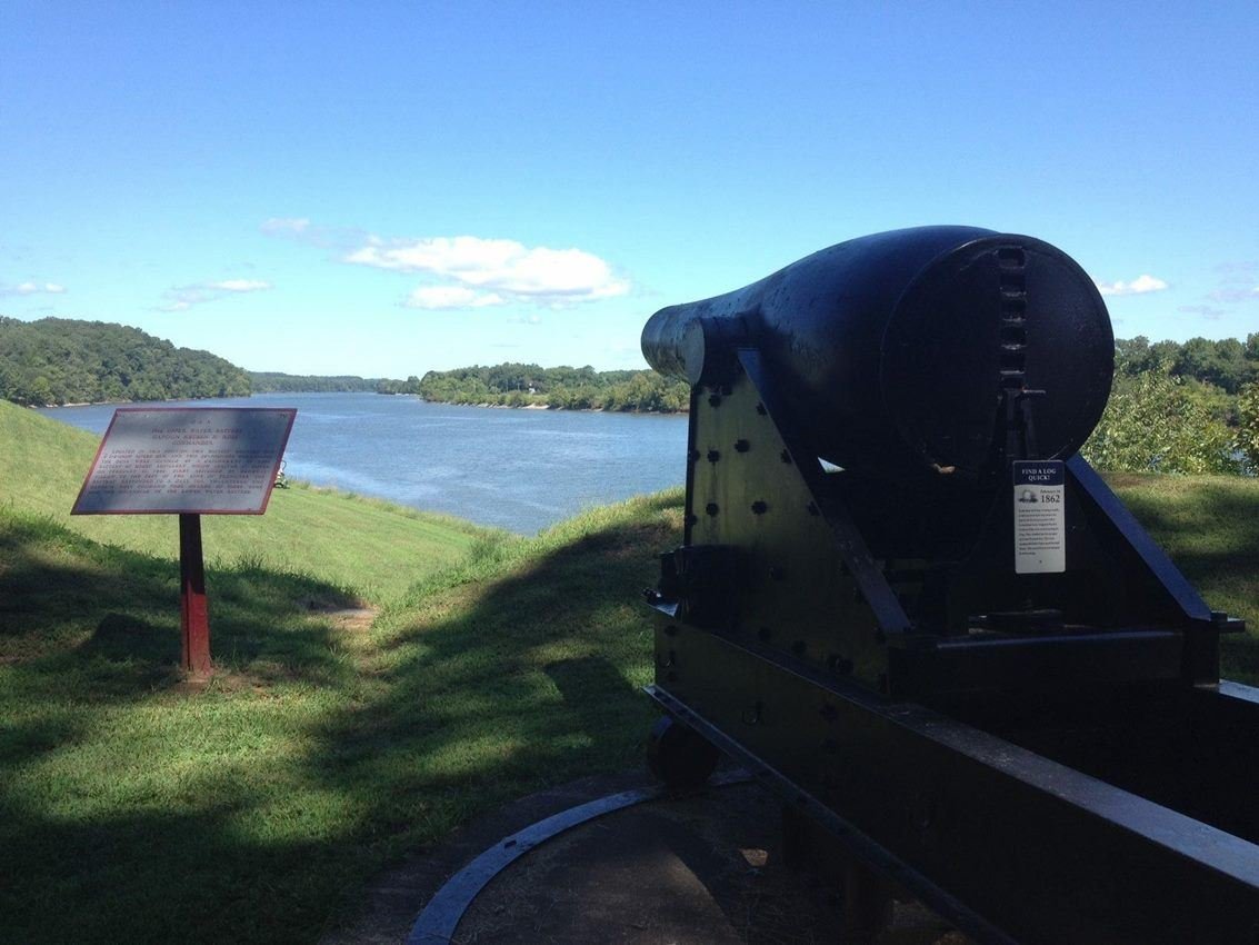
A commanding view of the Cumberland River from the Upper Artillery Battery
NPS
NPS photograph credited without copyright restriction
Source & attribution ↗
Resized; some display frames crop the image.

The Fort Donelson National Cemetery, final resting place for Soldiers who fell in battle during the Civil War, the Spanish-American War, World War I, and World War II.
NPS Photo
NPS photograph credited without copyright restriction
Source & attribution ↗
Resized; some display frames crop the image.
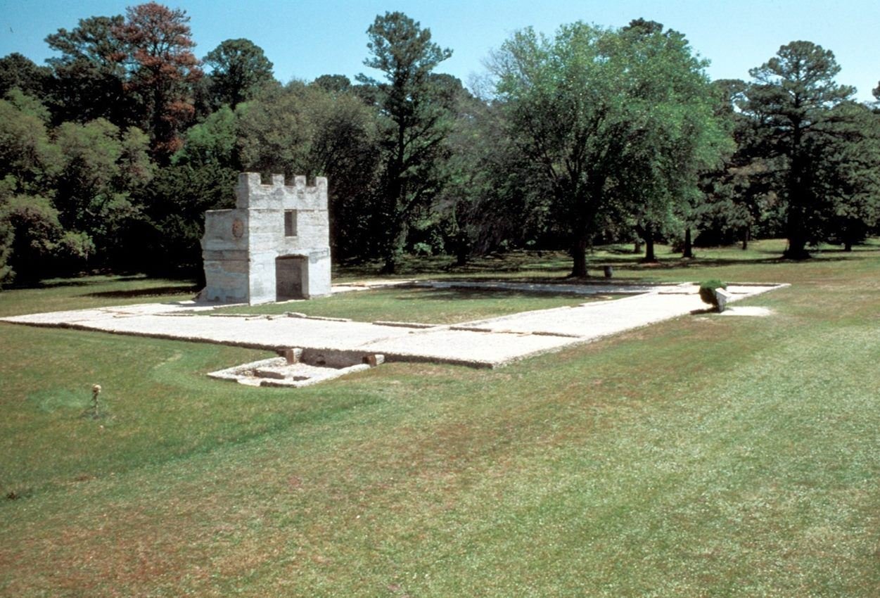
The Barracks ruin is one of the few above ground structures at Fort Frederica
NPS photo
NPS photograph credited without copyright restriction
Source & attribution ↗
Resized; some display frames crop the image.
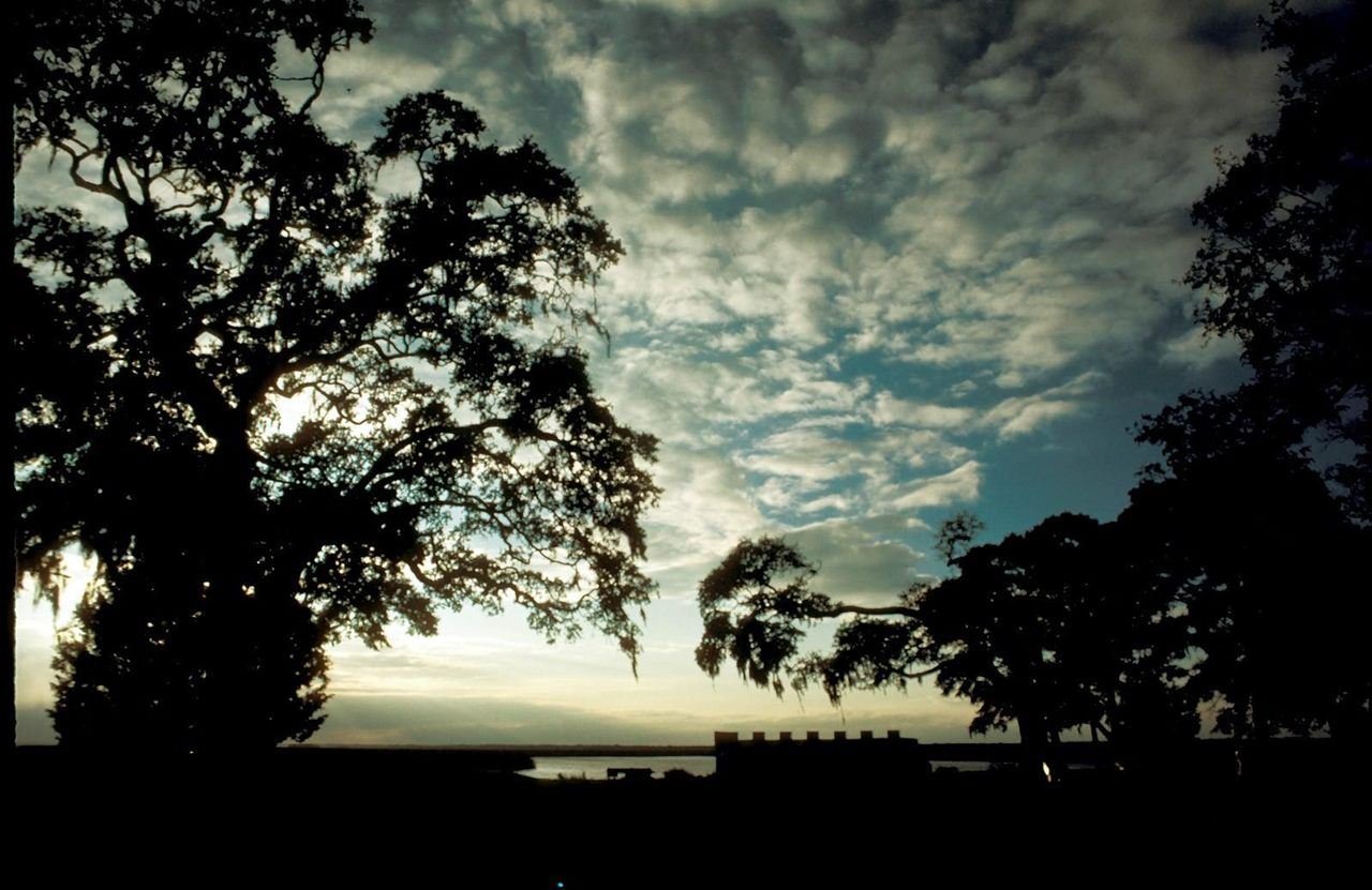
Dusk at Fort Frederica
NPS Photo
NPS photograph credited without copyright restriction
Source & attribution ↗
Resized; some display frames crop the image.
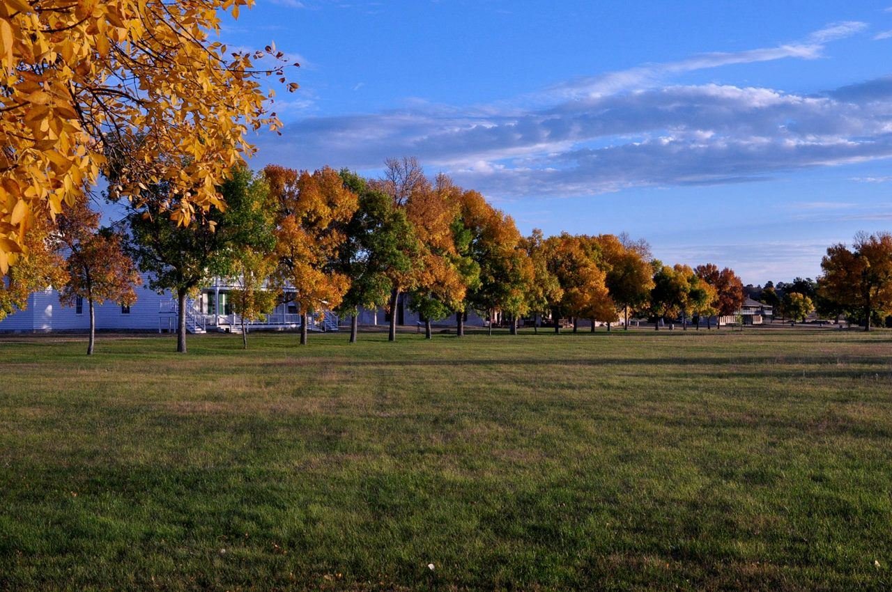
Fall colors paint the parade grounds near Old Bedlam.
NPS Photo
NPS photograph credited without copyright restriction
Source & attribution ↗
Resized; some display frames crop the image.
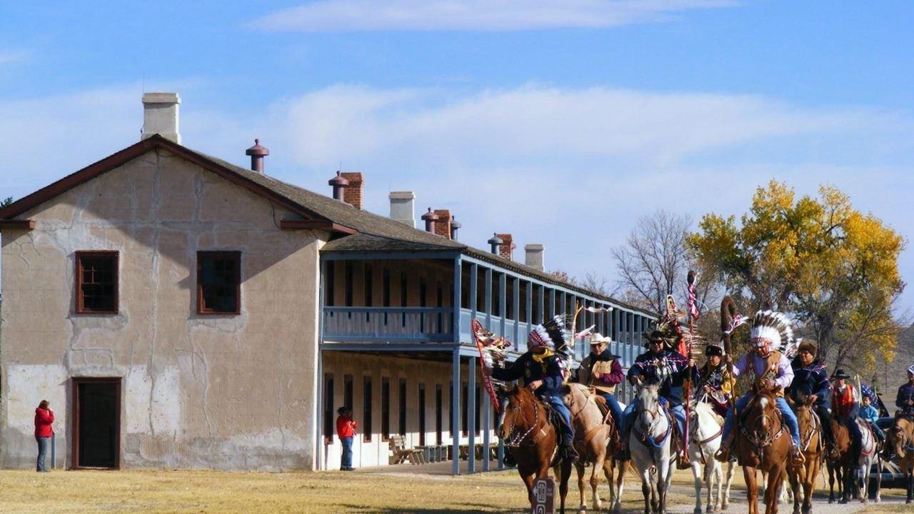
Riding toward the parade ground
NPS Photo
NPS photograph credited without copyright restriction
Source & attribution ↗
Resized; some display frames crop the image.
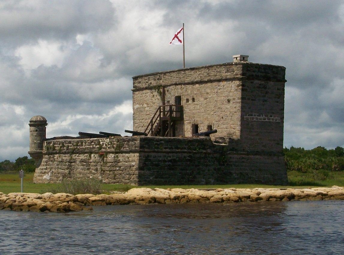
Fort Matanzas sits on Rattlesnake Island in the middle of the Matanzas River.
NPS Photo
NPS photograph credited without copyright restriction
Source & attribution ↗
Resized; some display frames crop the image.
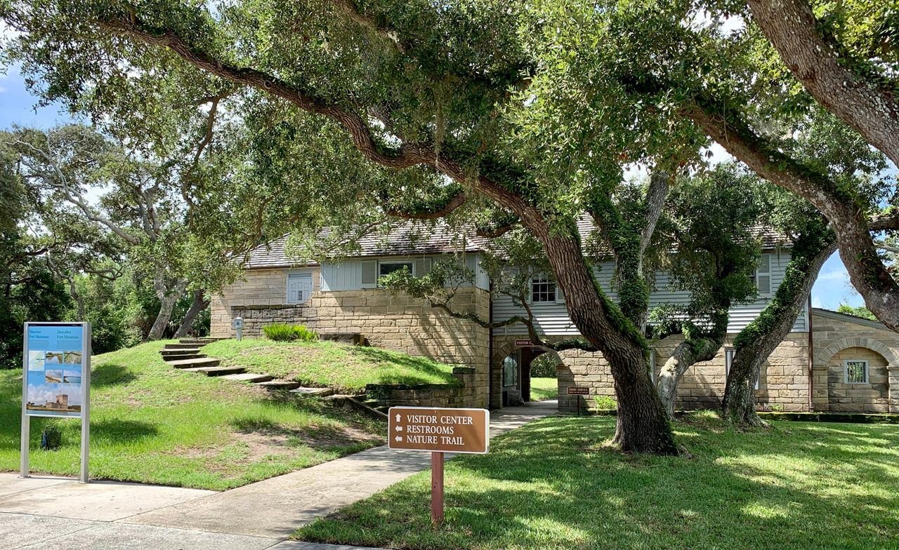
Here you can find information about the fort tour, exhibits, park movie, passport stamp, and more.
NPS
NPS photograph credited without copyright restriction
Source & attribution ↗
Resized; some display frames crop the image.
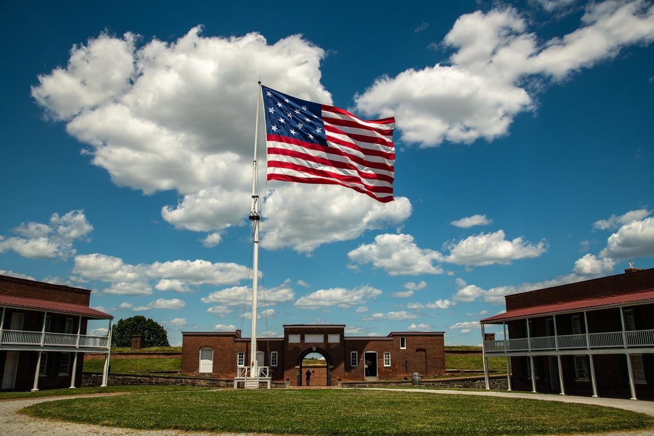
A star-spangled banner still gallantly streaming o'er the ramparts of Fort McHenry
NPS/ Tim Ervin
NPS photograph credited without copyright restriction
Source & attribution ↗
Resized; some display frames crop the image.
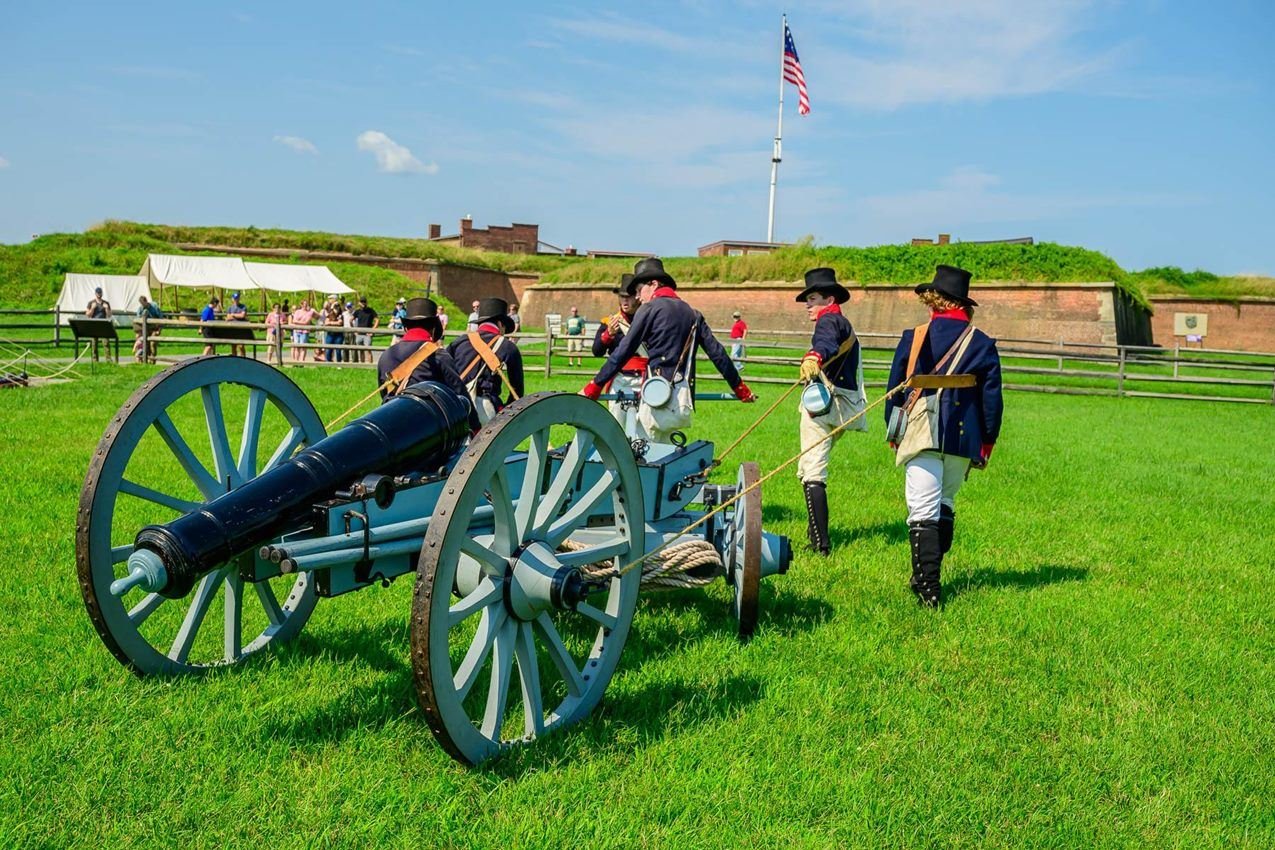
Attend a historic weapons demonstration by the Fort McHenry Guard.
NPS/ Tim Ervin
NPS photograph credited without copyright restriction
Source & attribution ↗
Resized; some display frames crop the image.
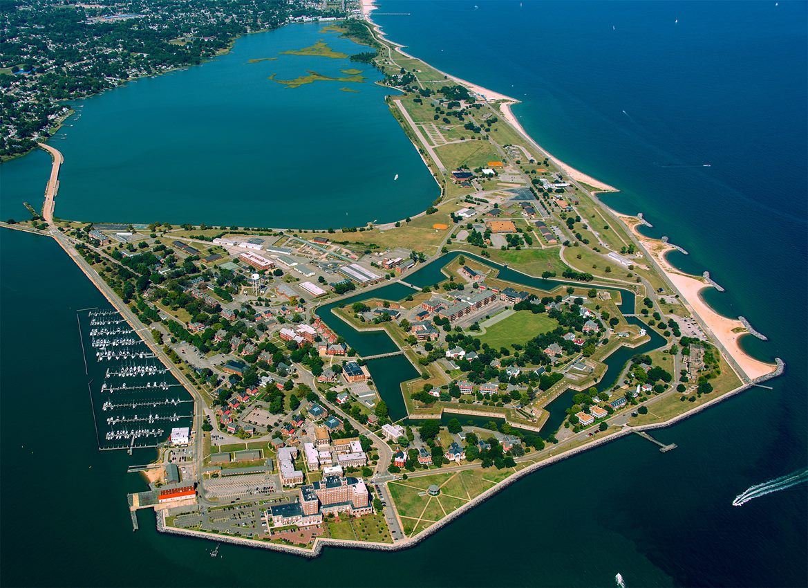
A unique perspective only available from the air brings the entire scope of Fort Monroe into focus in one image.
NPS Photo
NPS photograph credited without copyright restriction
Source & attribution ↗
Resized; some display frames crop the image.
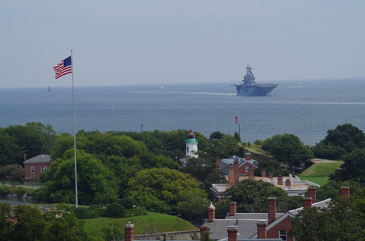
Fort Monroe's Flagstaff is the first US flag the sailors of the USS Kearsage see when returning to the waters of Hampton Roads.
NPS Photo/Aaron Firth
NPS photograph credited without copyright restriction
Source & attribution ↗
Resized; some display frames crop the image.
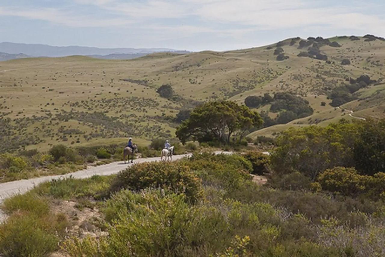
Horseback Riding at Fort Ord
Photo by Bob Wick, BLM.
Federal-agency photograph credited to BLM
Source & attribution ↗
Resized; some display frames crop the image.
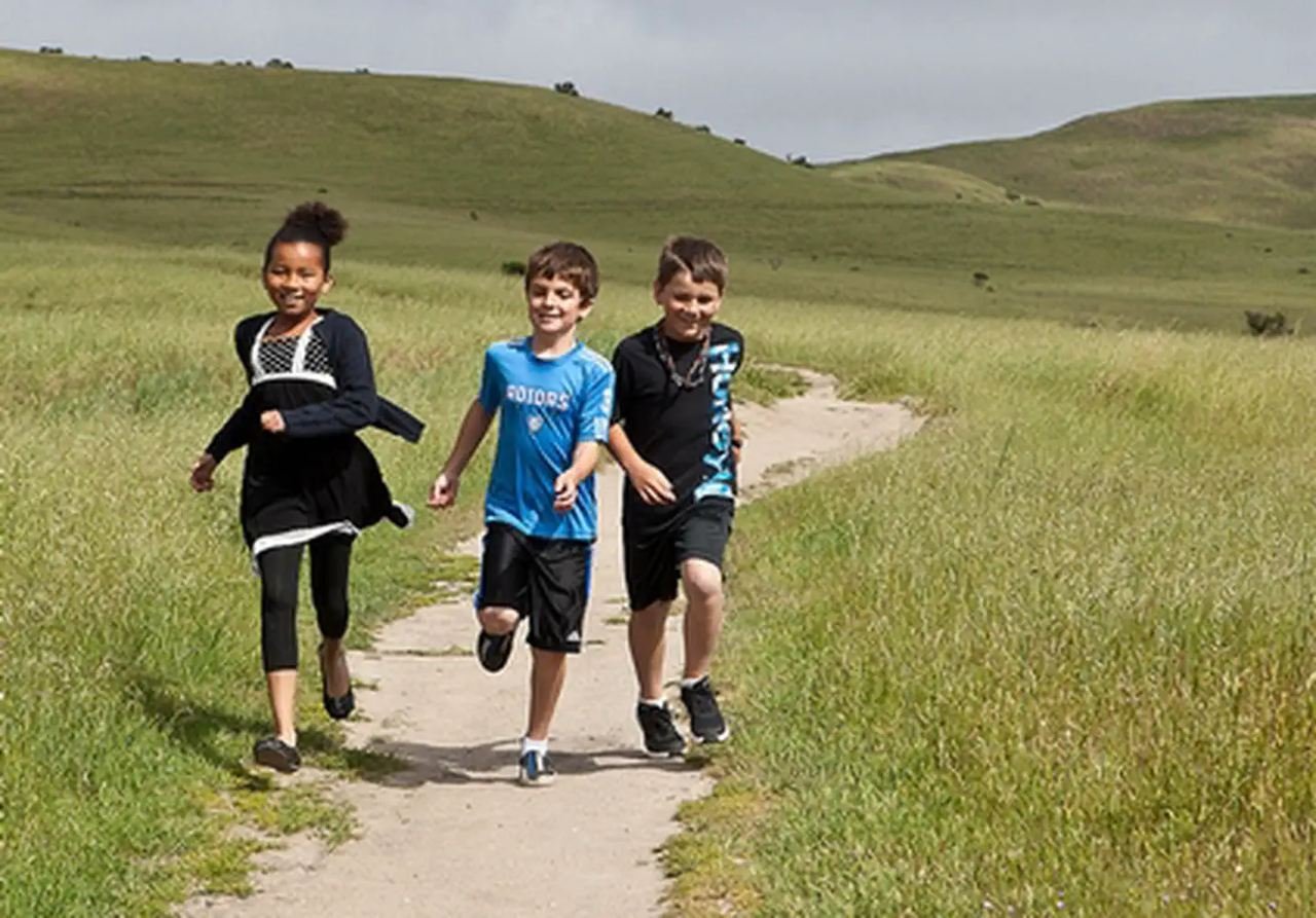
Outdoor Classroom
Photo by Bob Wick, BLM.
Federal-agency photograph credited to BLM
Source & attribution ↗
Resized; some display frames crop the image.
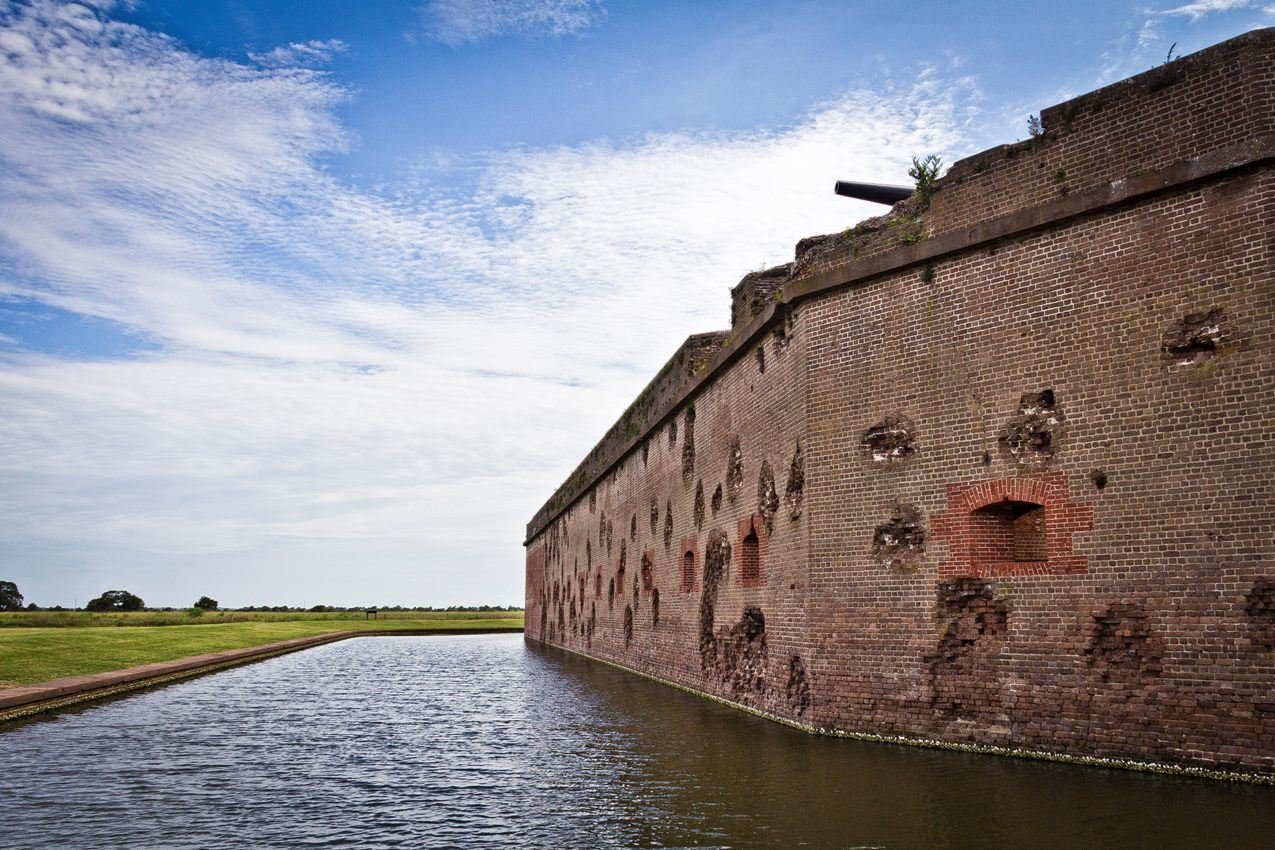
A walk along the outside of Fort Pulaski reveals damaged walls over 150 years after the Civil War.
NPS Photo / Joel Cadoff
NPS photograph credited without copyright restriction
Source & attribution ↗
Resized; some display frames crop the image.
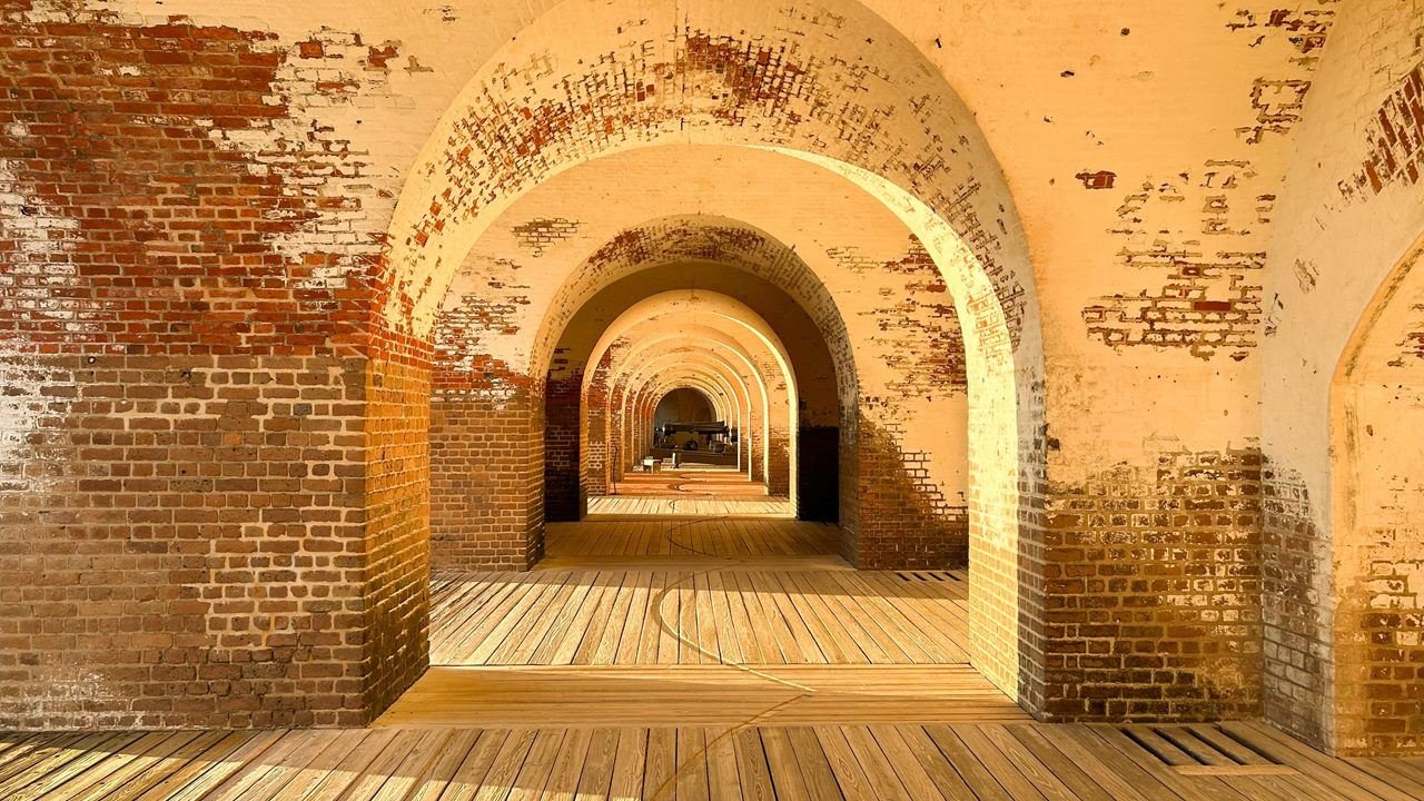
Fort Pulaski shows off its classic arched architecture and cannon.
NPS Photo / Joel Cadoff
NPS photograph credited without copyright restriction
Source & attribution ↗
Resized; some display frames crop the image.
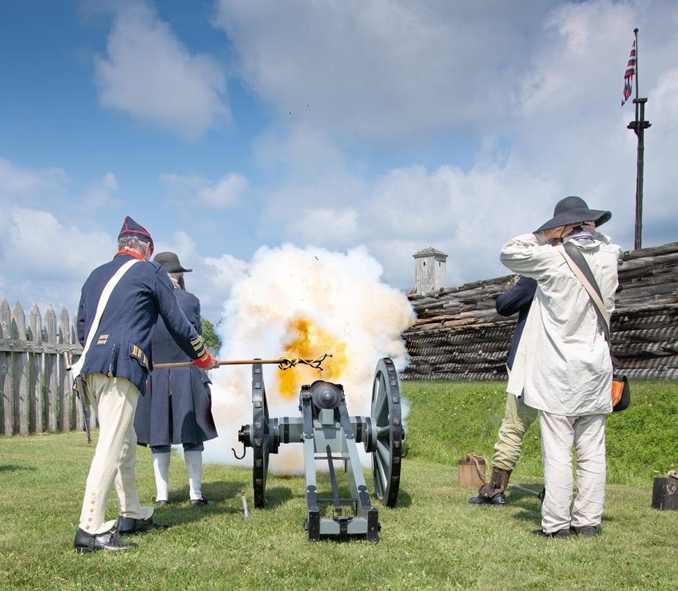
The American victory in the Siege of 1777 helped set the stage for the larger victory at Saratoga, during the American Revolution.
NPS Photo / Ranger Dan
NPS photograph credited without copyright restriction
Source & attribution ↗
Resized; some display frames crop the image.
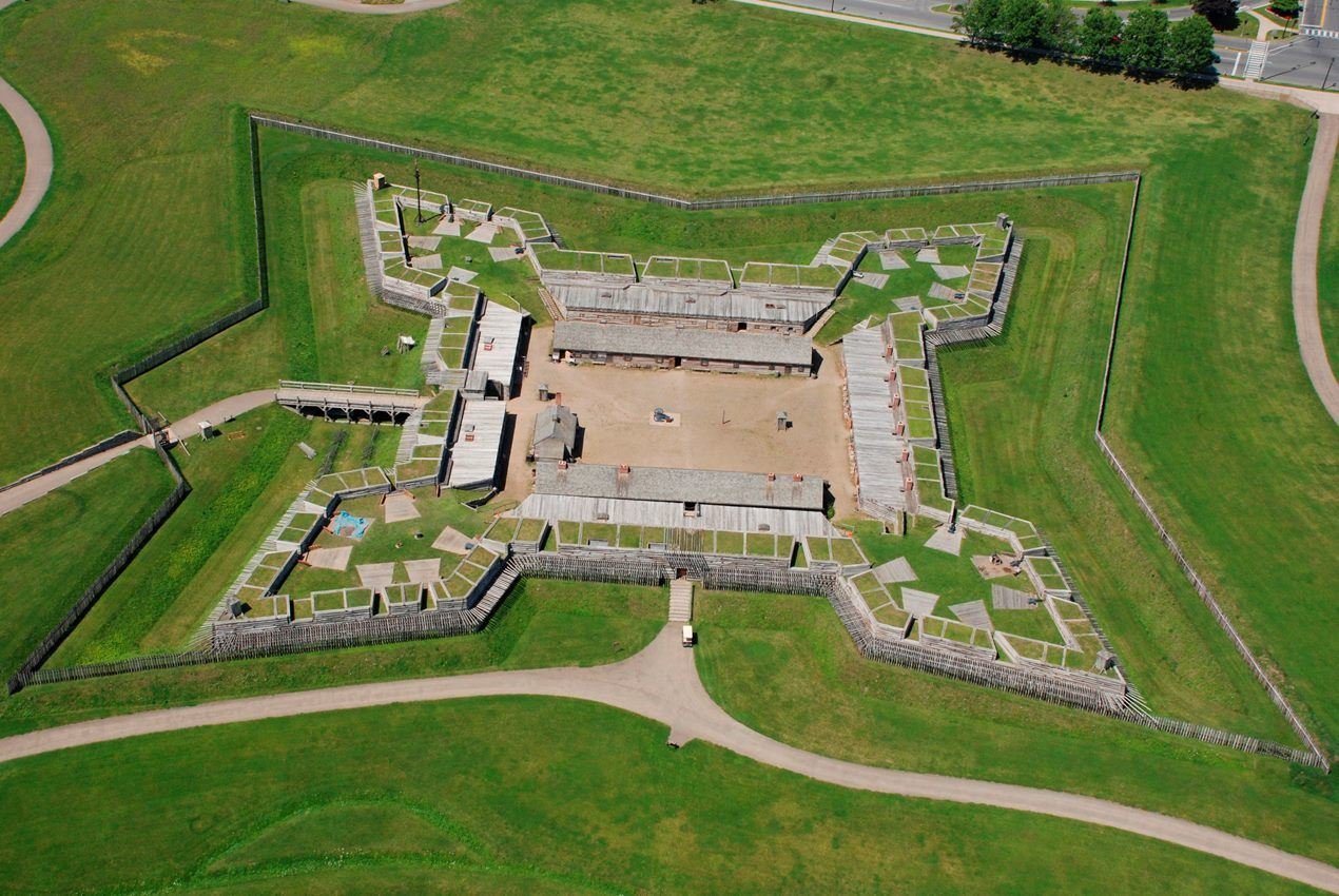
From ranger tours, to walking trails, to exploring history, there's plenty to do at Fort Stanwix!
NPS Photo
NPS photograph credited without copyright restriction
Source & attribution ↗
Resized; some display frames crop the image.
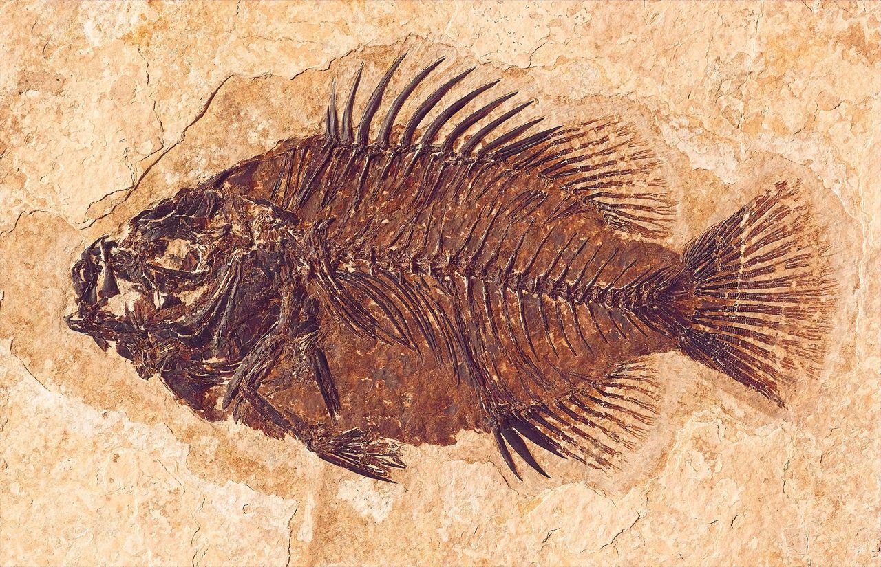
Cockerellites liops is one of the more commonly found fishes in and around Fossil Butte National Monument.
NPS Photo
NPS photograph credited without copyright restriction
Source & attribution ↗
Resized; some display frames crop the image.
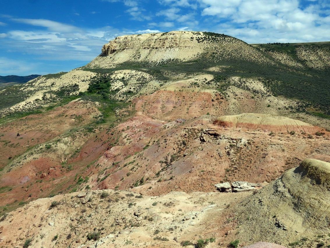
The red and purple layers of the Wasatch Formation sit below the ridgeline of Fossil Butte.
NPS Photo / John Collins
NPS photograph credited without copyright restriction
Source & attribution ↗
Resized; some display frames crop the image.
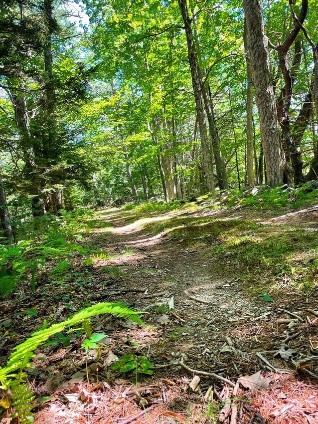
On the Homestead Trail
NPS Photo
NPS photograph credited without copyright restriction
Source & attribution ↗
Resized; some display frames crop the image.
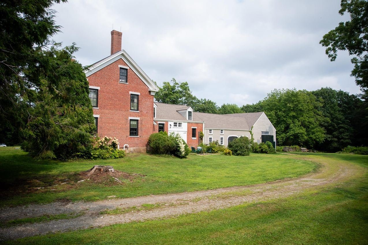
Approach to the Frances Perkins Homestead
NPS Photo/Kari Herer
NPS photograph credited without copyright restriction
Source & attribution ↗
Resized; some display frames crop the image.
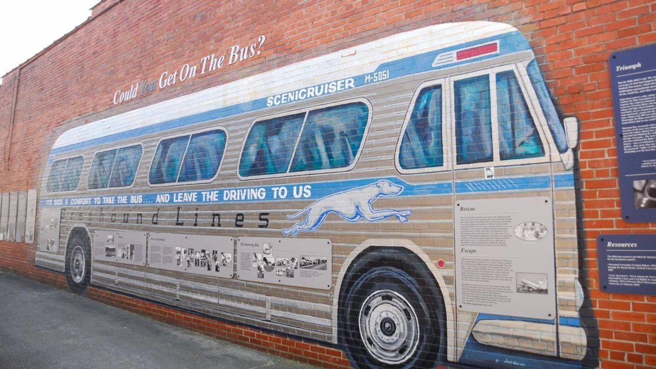
Greyhound mural at the Anniston Greyhound Bus Depot.
NPS Photo
NPS photograph credited without copyright restriction
Source & attribution ↗
Resized; some display frames crop the image.
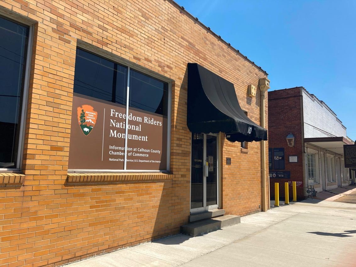
The Anniston Greyhound Bus Depot at Freedom Riders National Monument in Anniston AL, site of an attack on Freedom Riders in May of 1961.
NPS Photo
NPS photograph credited without copyright restriction
Source & attribution ↗
Resized; some display frames crop the image.
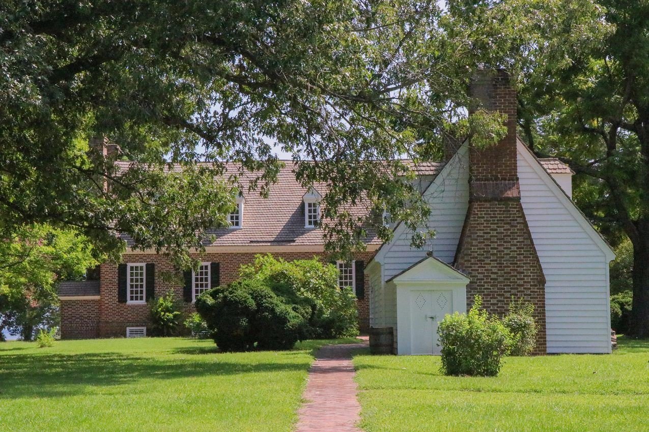
The Memorial House Museum and Colonial Revival Kitchen in Summer
NPS / Cleo Kantz-Schultz
NPS photograph credited without copyright restriction
Source & attribution ↗
Resized; some display frames crop the image.
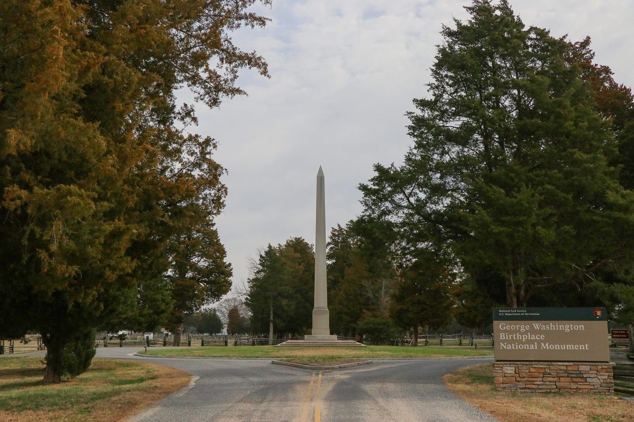
George Washington Birthplace National Monument in Spring
NPS / Cleo Kantz-Schultz
NPS photograph credited without copyright restriction
Source & attribution ↗
Resized; some display frames crop the image.
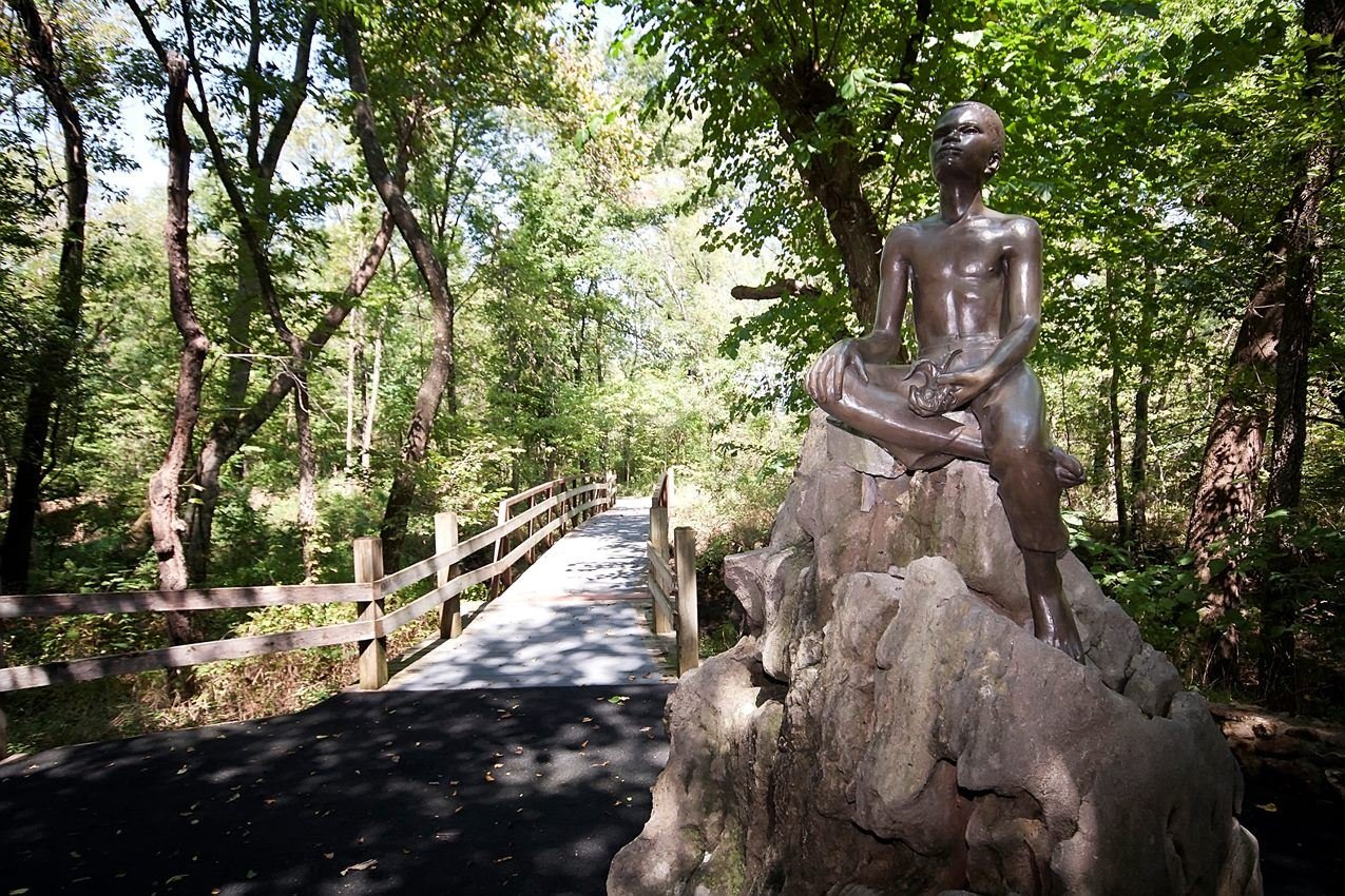
"Boy Carver Statue," sculpted by Robert Amendola in 1960.
NPS Photo
NPS photograph credited without copyright restriction
Source & attribution ↗
Resized; some display frames crop the image.
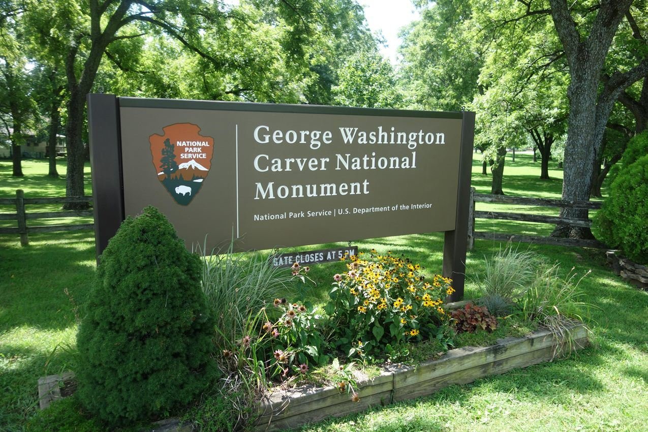
Entrance sign to George Washington Carver NM will wildflower and plants.
NPS Photo
NPS photograph credited without copyright restriction
Source & attribution ↗
Resized; some display frames crop the image.
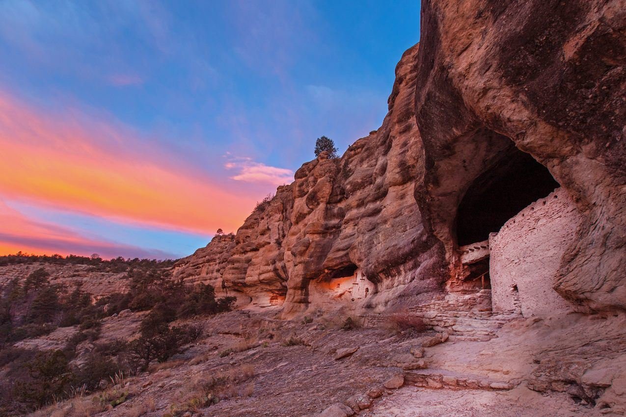
Visitors enjoy panoramic views of the canyon and dwellings at Gila Cliff Dwellings.
NPS/Janice Wei
NPS photograph credited without copyright restriction
Source & attribution ↗
Resized; some display frames crop the image.
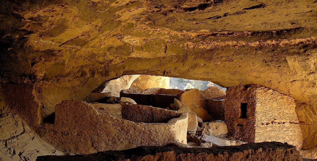
Tularosa Phase Mogollon people made these caves their home in the late 1200's.
NPS Photo
NPS photograph credited without copyright restriction
Source & attribution ↗
Resized; some display frames crop the image.
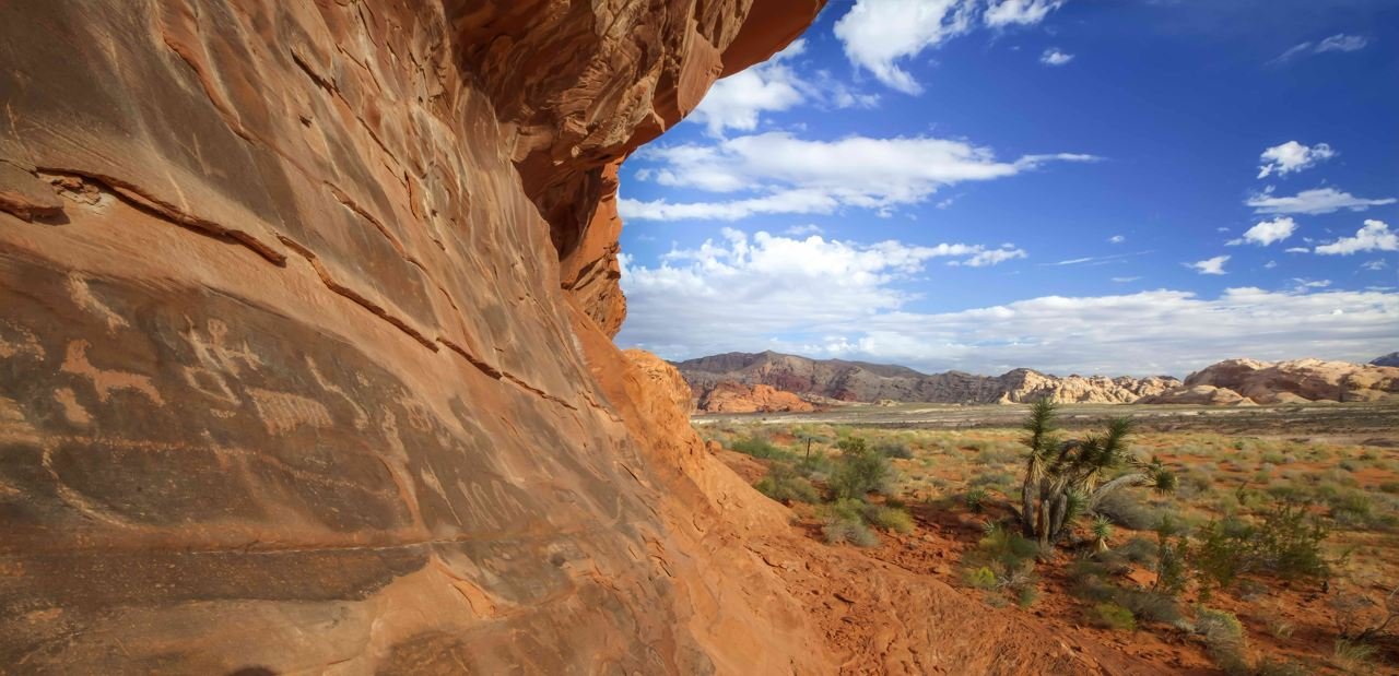
Landscape view with petroglyphs at Gold Butte National Monument.
Bureau of Land Management
Federal-agency photograph credited to BLM
Source & attribution ↗
Resized; some display frames crop the image.
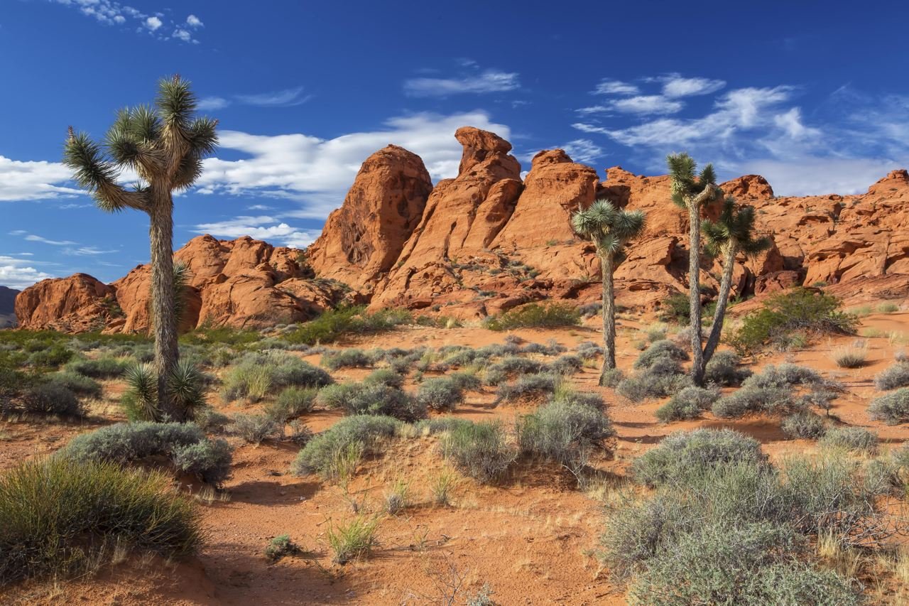
Gold Butte
Bureau of Land Management
Federal-agency photograph credited to BLM
Source & attribution ↗
Resized; some display frames crop the image.
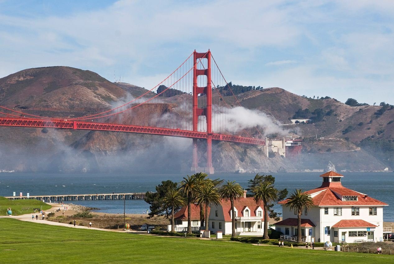
Visiting Crissy Field is an ever changing experience as the fog comes in and dissipates.
NPS photo/Will Elder
NPS photograph credited without copyright restriction
Source & attribution ↗
Resized; some display frames crop the image.
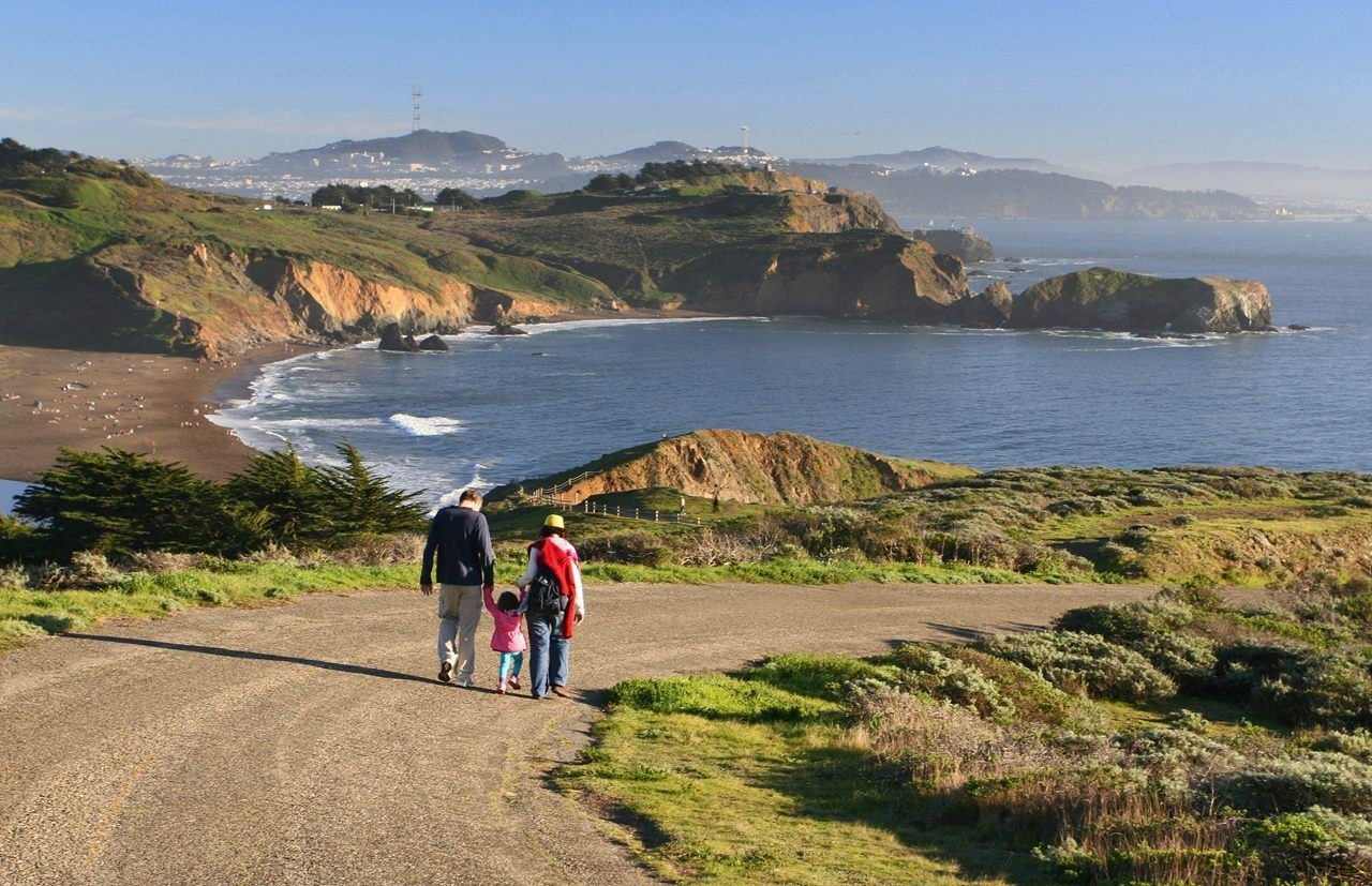
Trails in the Marin Headlands offer a fun and spectacular hiking experience for all.
NPS photo/Will Elder
NPS photograph credited without copyright restriction
Source & attribution ↗
Resized; some display frames crop the image.
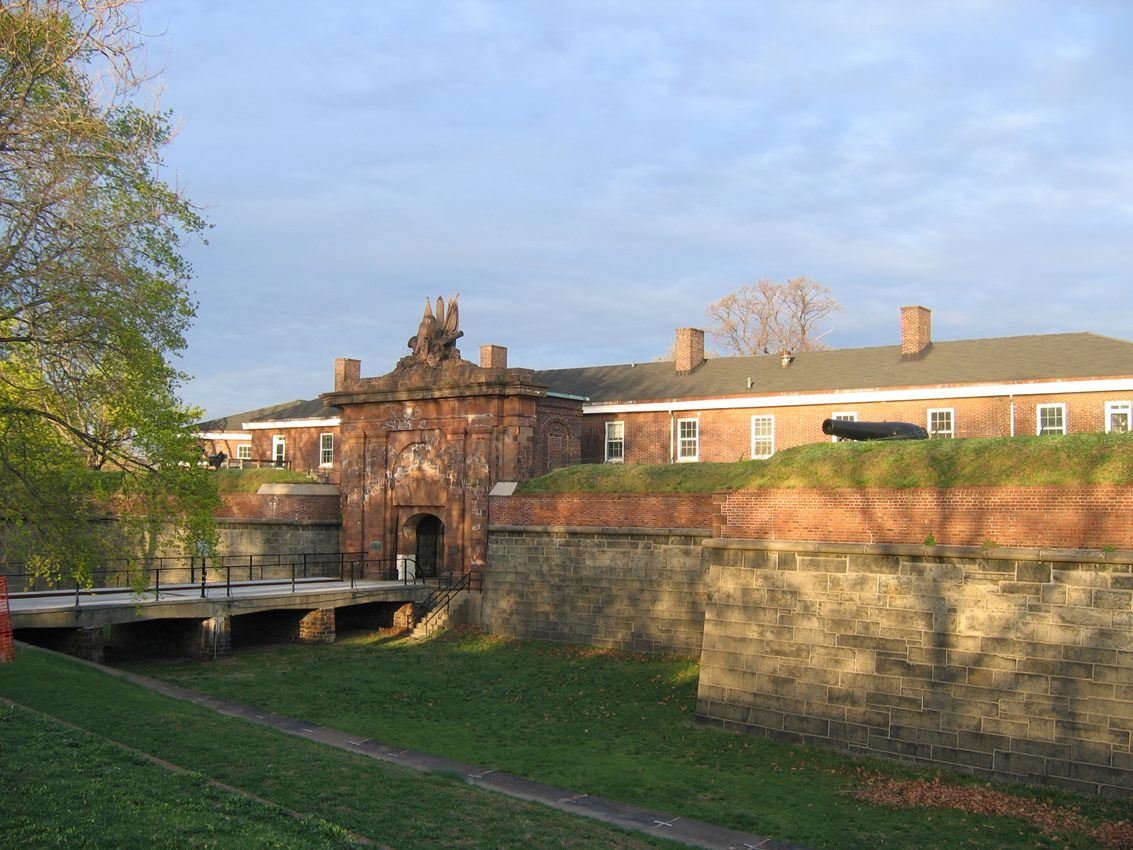
An early spring morning view of Fort Jay. The gate house is the oldest structure on Governors Island dating back to 1794.
NPS photo / Michael B. Shaver
NPS photograph credited without copyright restriction
Source & attribution ↗
Resized; some display frames crop the image.
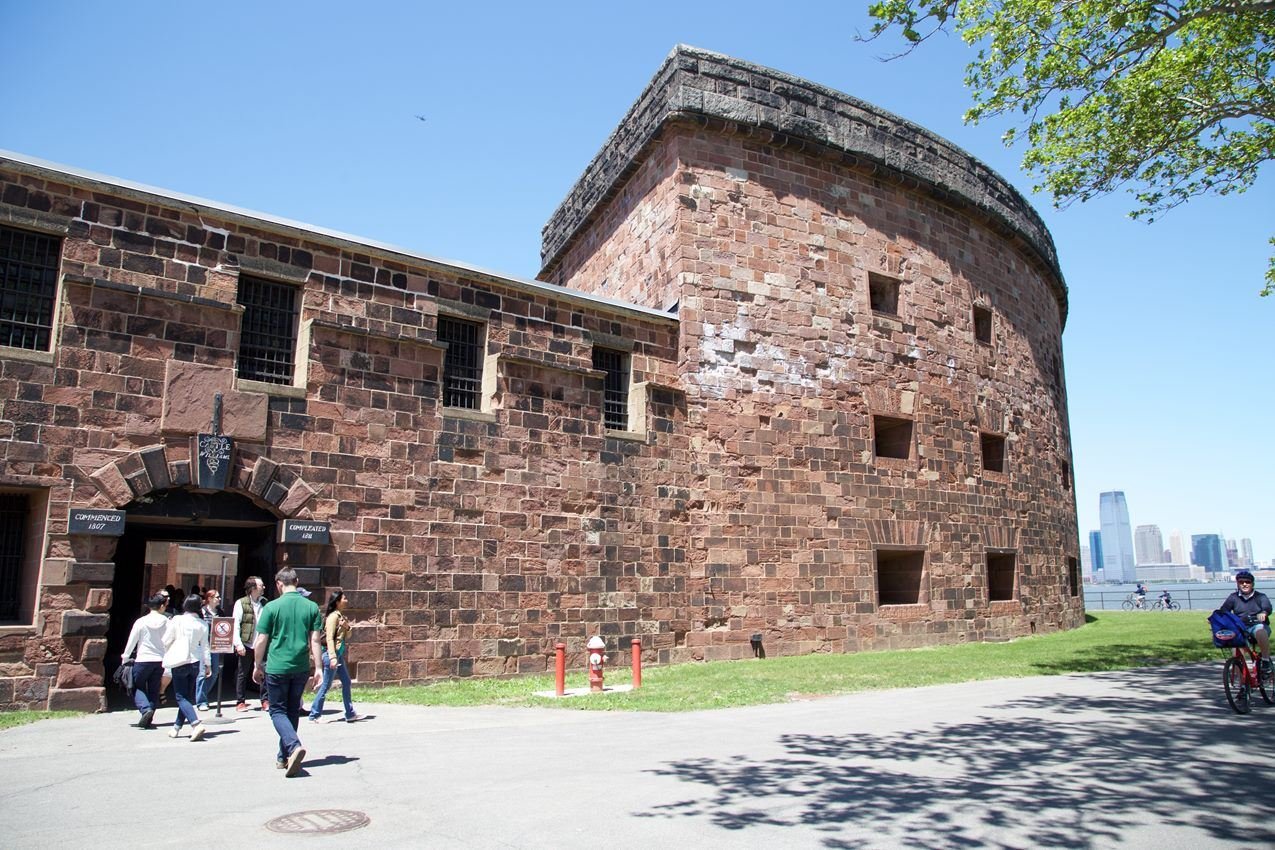
Castle Williams at Governors Island National Monument was constructed in 1811 and was a pioneering design in American fortifications.
NPS photo / Katherine Moscowitch
NPS photograph credited without copyright restriction
Source & attribution ↗
Resized; some display frames crop the image.
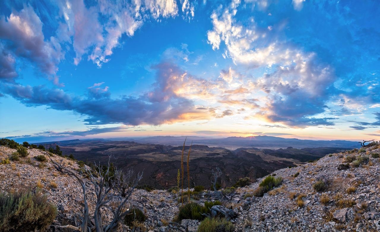
The sun sets behind the Pakoon Basin.
NPS/T. Miller
NPS photograph credited without copyright restriction
Source & attribution ↗
Resized; some display frames crop the image.
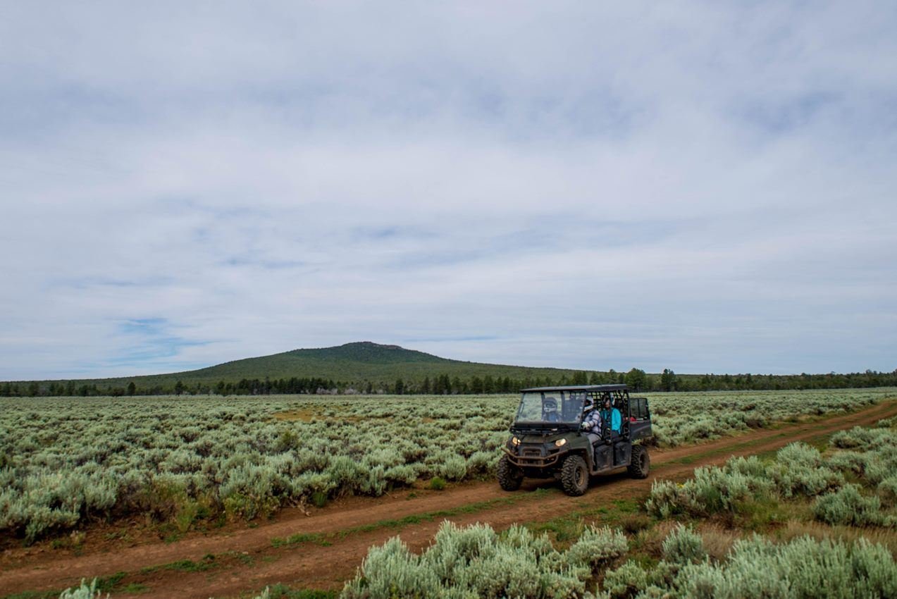
Visitors enjoy exploring the roads on the monument.
NPS/M. Draper
NPS photograph credited without copyright restriction
Source & attribution ↗
Resized; some display frames crop the image.
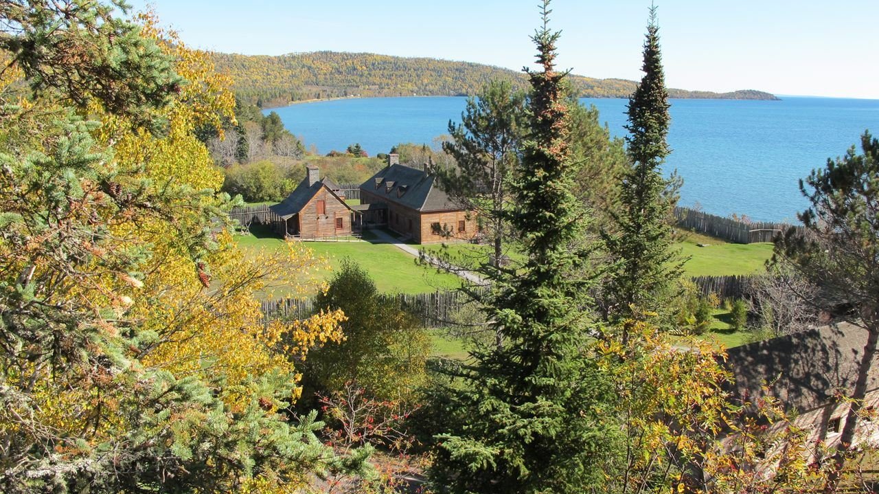
Fall is a great time to hike the Mount Rose Trail
NPS Photo
NPS photograph credited without copyright restriction
Source & attribution ↗
Resized; some display frames crop the image.
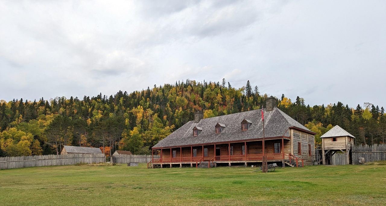
Fall colors on Mount Rose.
NPS Photo
NPS photograph credited without copyright restriction
Source & attribution ↗
Resized; some display frames crop the image.
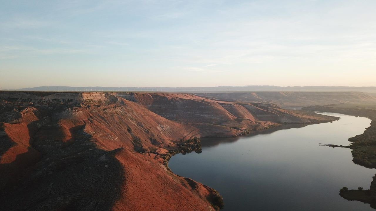
The Glenns Ferry Formation contains one of the world's richest Pliocene fossil deposits.
NPS Photo
NPS photograph credited without copyright restriction
Source & attribution ↗
Resized; some display frames crop the image.
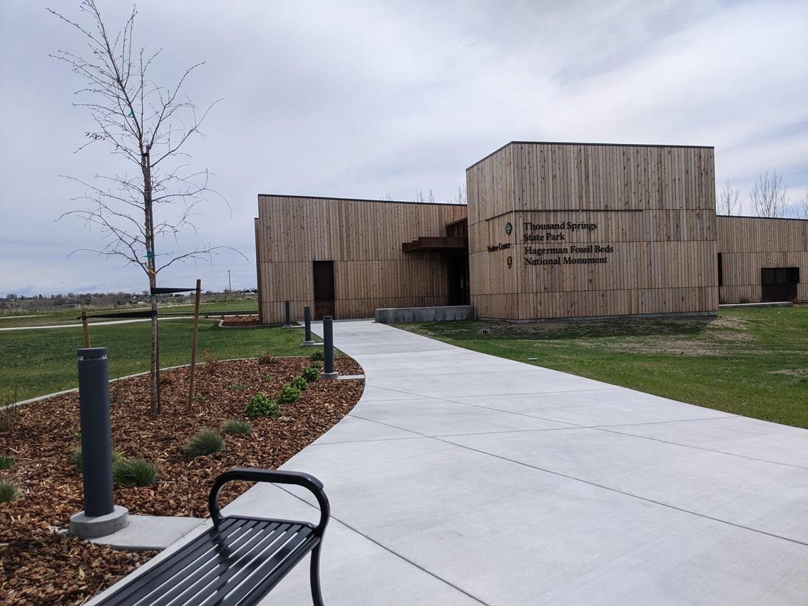
The Thousand Springs Visitor Center, opening in 2022, marks a new partnership between the National Park Service and Idaho Department of Parks and Recreation.
NPS/S. Lacy
NPS photograph credited without copyright restriction
Source & attribution ↗
Resized; some display frames crop the image.
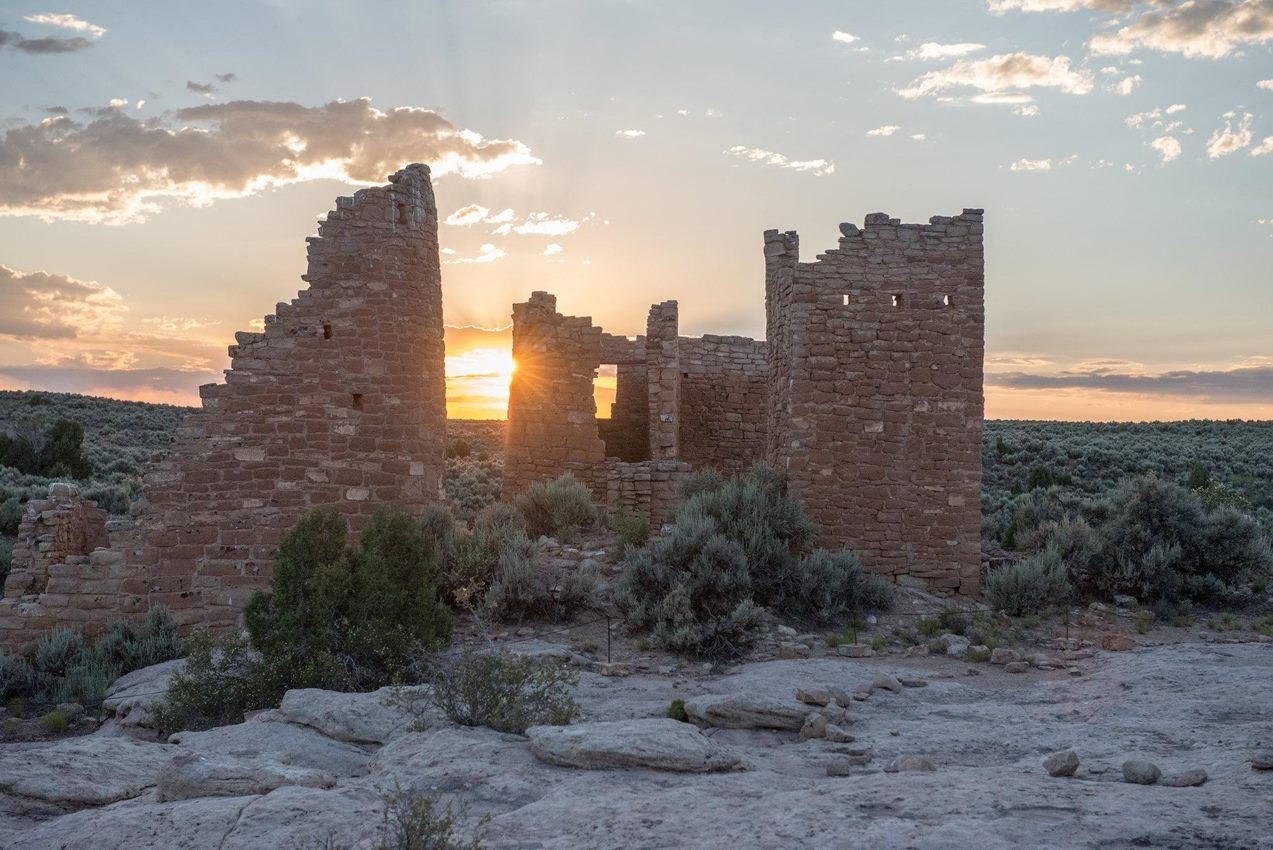
Sunset of the Summer Solstice at Hovenweep Castle
NPS/Chris Wonderly
NPS photograph credited without copyright restriction
Source & attribution ↗
Resized; some display frames crop the image.
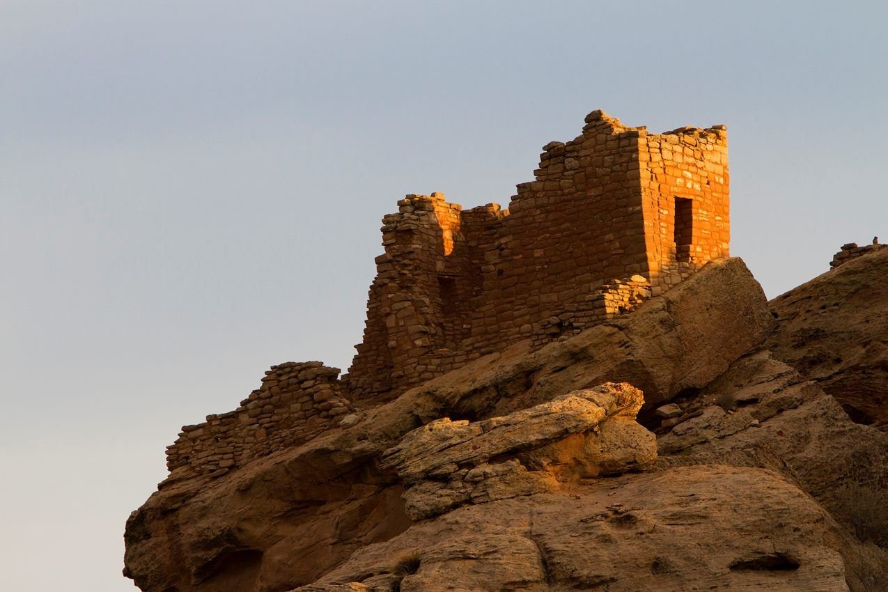
Stronghole House is one of several structures at the Square Tower Group
NPS Photo / Andrew Kuhn
NPS photograph credited without copyright restriction
Source & attribution ↗
Resized; some display frames crop the image.
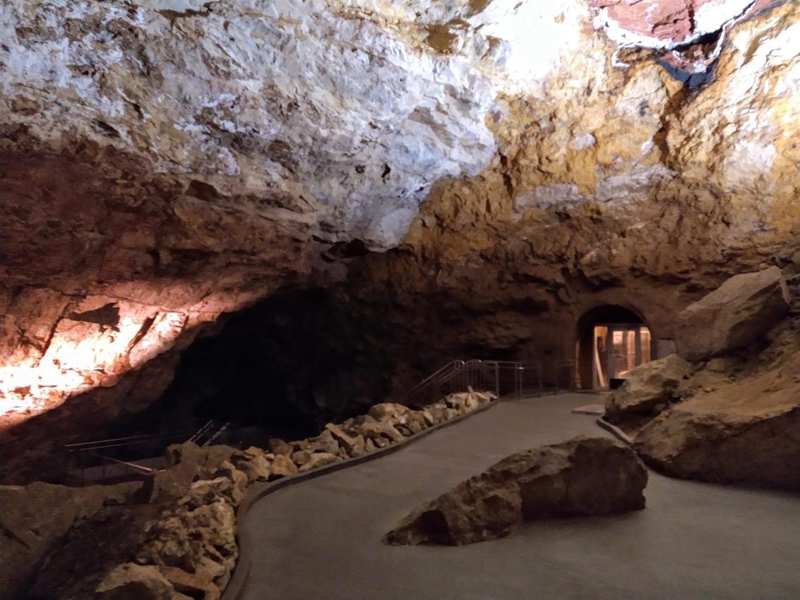
The target room inside Jewel Cave.
NPS Staff Photo
NPS photograph credited without copyright restriction
Source & attribution ↗
Resized; some display frames crop the image.
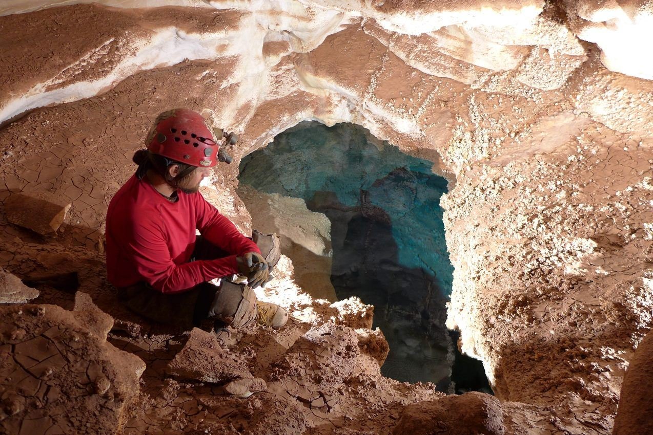
Volunteer cave explorers discovered Hourglass Lake in October 2015, the first sizable body of water found within Jewel Cave.
NPS Photo / Dan Austin
NPS photograph credited without copyright restriction
Source & attribution ↗
Resized; some display frames crop the image.
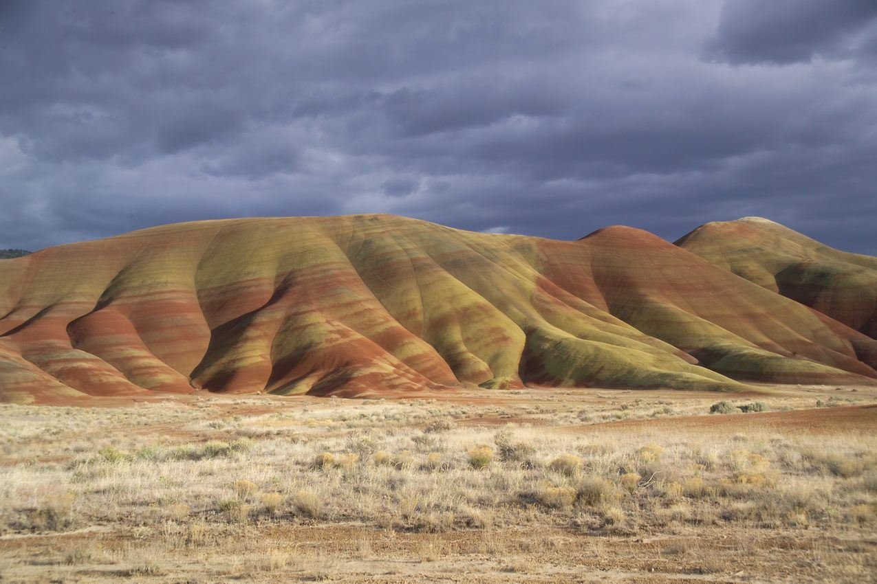
The Painted Hills on a stormy winter day.
NPS Photo / Scott Ritner
NPS photograph credited without copyright restriction
Source & attribution ↗
Resized; some display frames crop the image.
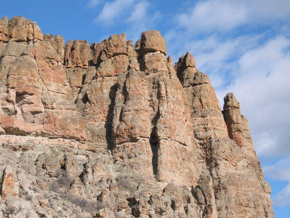
The Clarno Palisades are remains of ancient volcanic mudslides.
NPS Photo
NPS photograph credited without copyright restriction
Source & attribution ↗
Resized; some display frames crop the image.
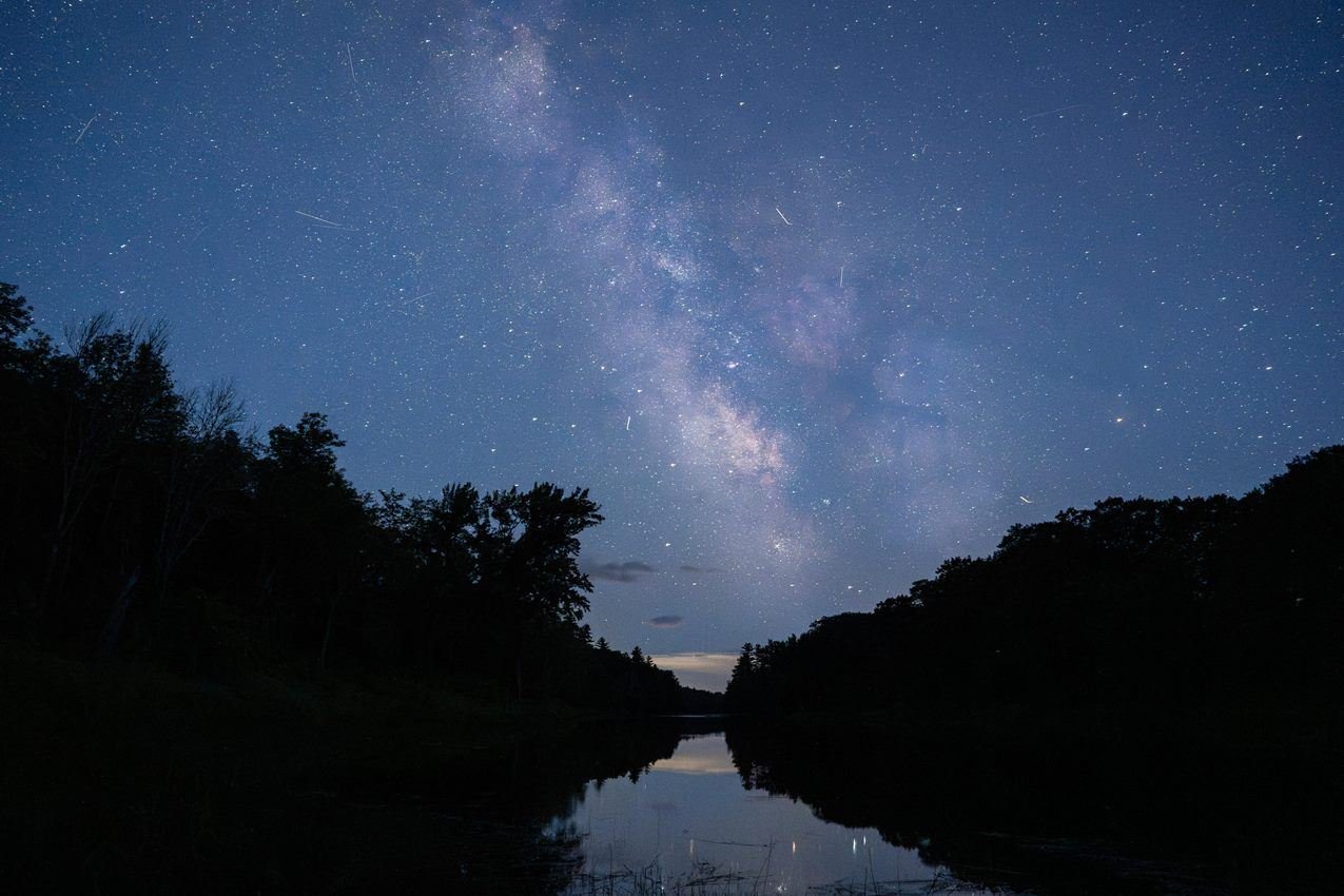
The monument is home to the darkest skies east of the Mississippi River.
NPS/ Gin Majka
NPS photograph credited without copyright restriction
Source & attribution ↗
Resized; some display frames crop the image.
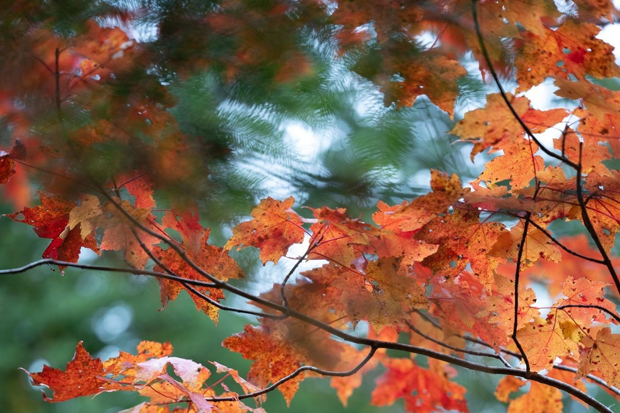
Explore stunning fall foliage at the monument each autumn.
NPS/ A. Longman
NPS photograph credited without copyright restriction
Source & attribution ↗
Resized; some display frames crop the image.
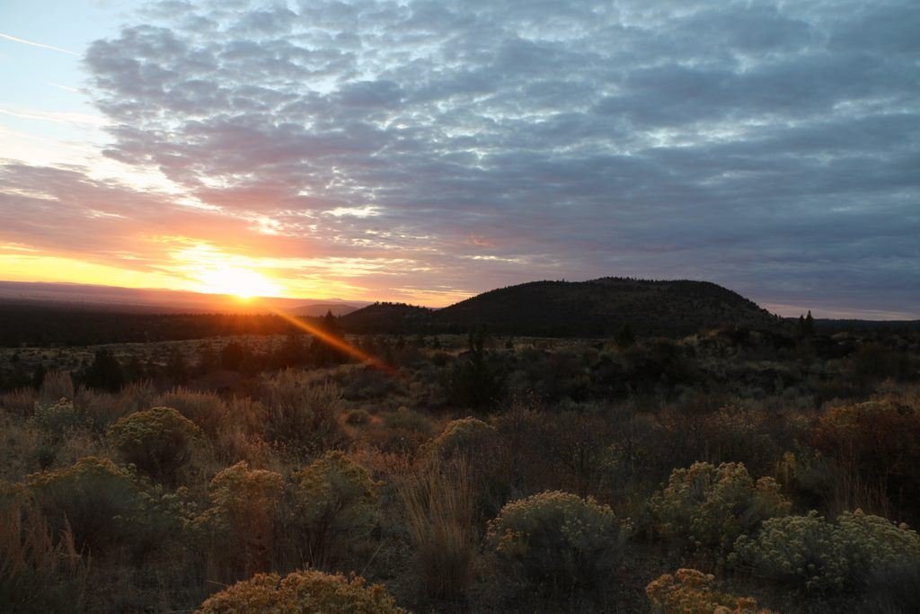
Sunrise at Lava Beds
NPS Photo / Nathan Charlton
NPS photograph credited without copyright restriction
Source & attribution ↗
Resized; some display frames crop the image.
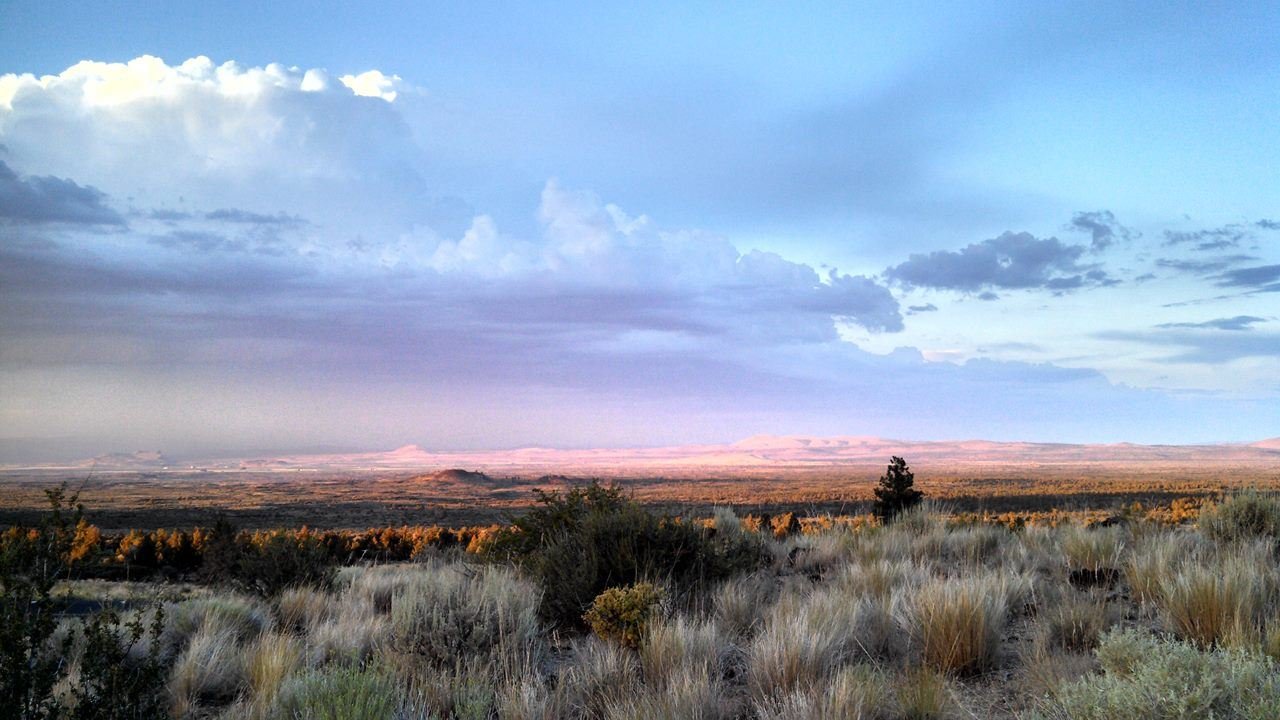
Sunset at Lava Beds
NPS Photo / Laura Bellasalma
NPS photograph credited without copyright restriction
Source & attribution ↗
Resized; some display frames crop the image.
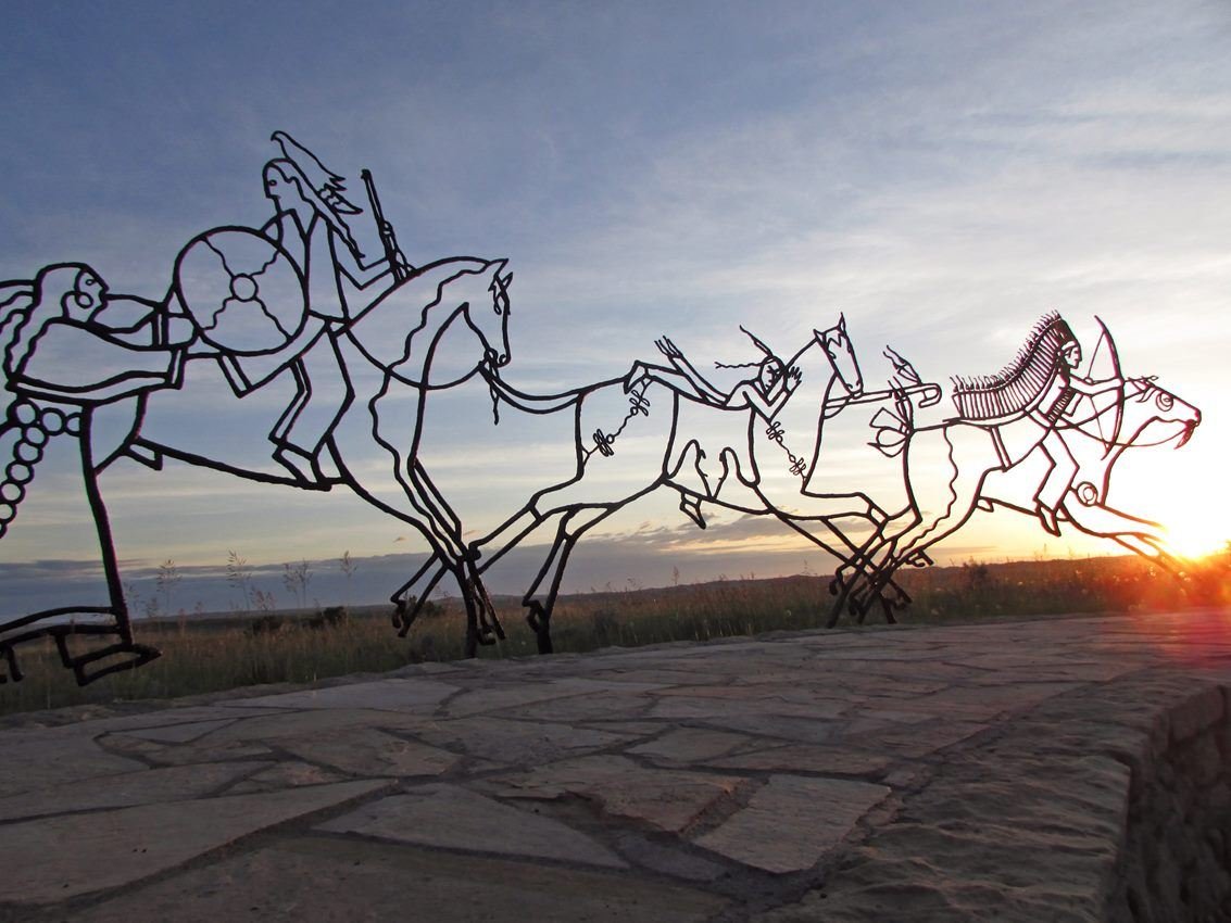
The Indian Memorial is a circular earthwork carved gently into the prairie. The walls carry the names of those who fell here as well as the words of some who fought in the battle.
NPS photo
NPS photograph credited without copyright restriction
Source & attribution ↗
Resized; some display frames crop the image.
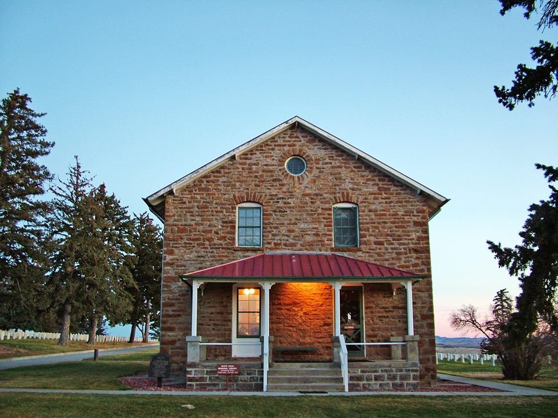
The stone house once served as a house for the Superintendent and their family. It has been renovated and restored and now serves as an office and research area.
NPS photo
NPS photograph credited without copyright restriction
Source & attribution ↗
Resized; some display frames crop the image.
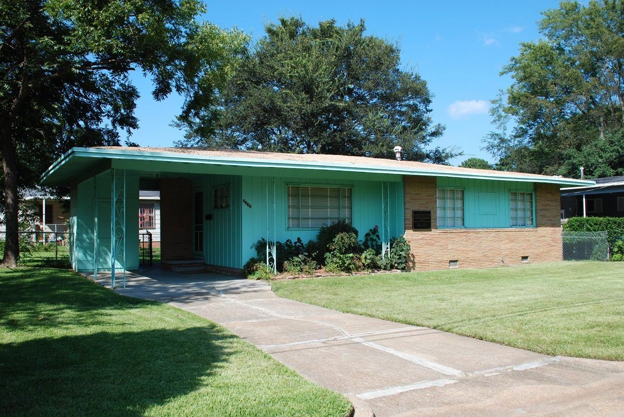
Medgar and Myrlie Evers Home National Monument
NPS Photo
NPS photograph credited without copyright restriction
Source & attribution ↗
Resized; some display frames crop the image.
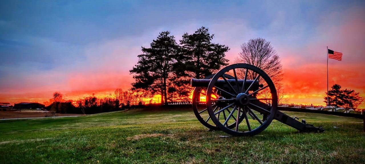
A glorious orange sunset back drops the Mill Springs National Cemetery.
NPS
NPS photograph credited without copyright restriction
Source & attribution ↗
Resized; some display frames crop the image.
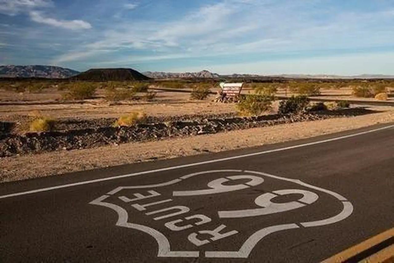
Route 66 in front of Amboy Crater
Photo by Ramona Daniels/BLM
Federal-agency photograph credited to BLM
Source & attribution ↗
Resized; some display frames crop the image.
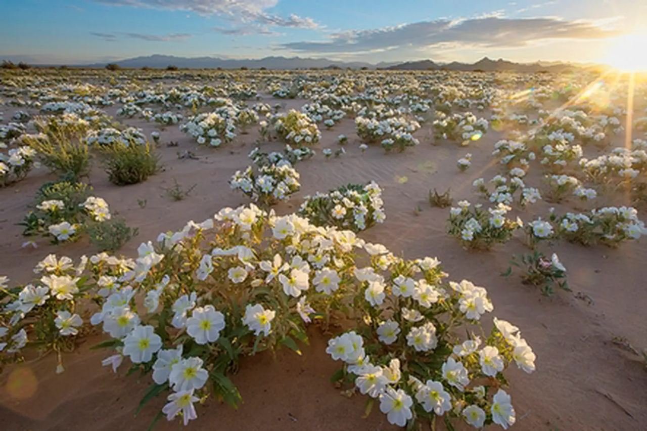
Cadiz Dunes Wilderness in the Mojave Trails National Monument
Photo by Bob Wick, BLM.
Federal-agency photograph credited to BLM
Source & attribution ↗
Resized; some display frames crop the image.
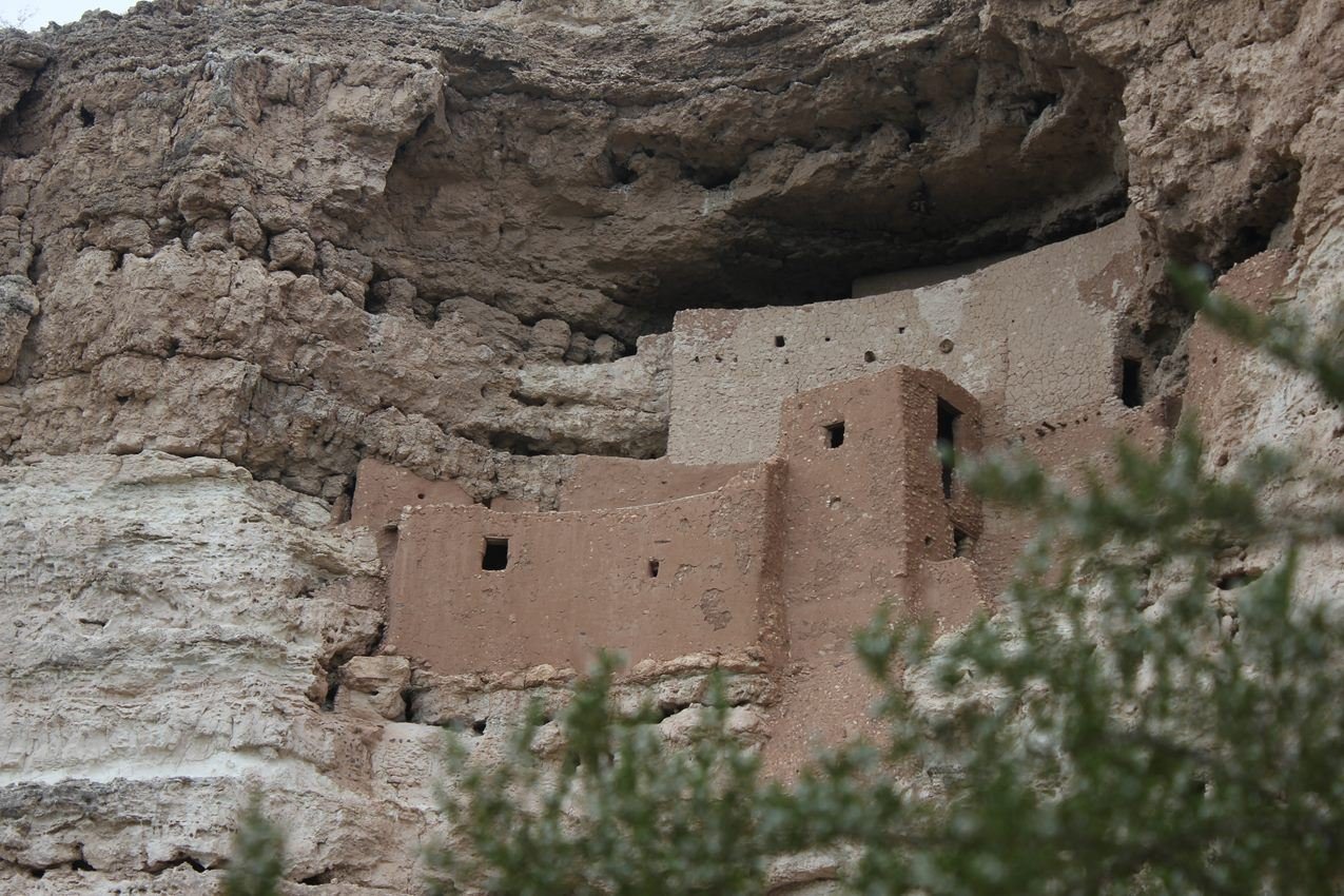
Montezuma Castle was built in an alcove about 90 feet up a cliff. This protects the dwelling from flooding.
NPS Photo/Sharlot Hart
NPS photograph credited without copyright restriction
Source & attribution ↗
Resized; some display frames crop the image.
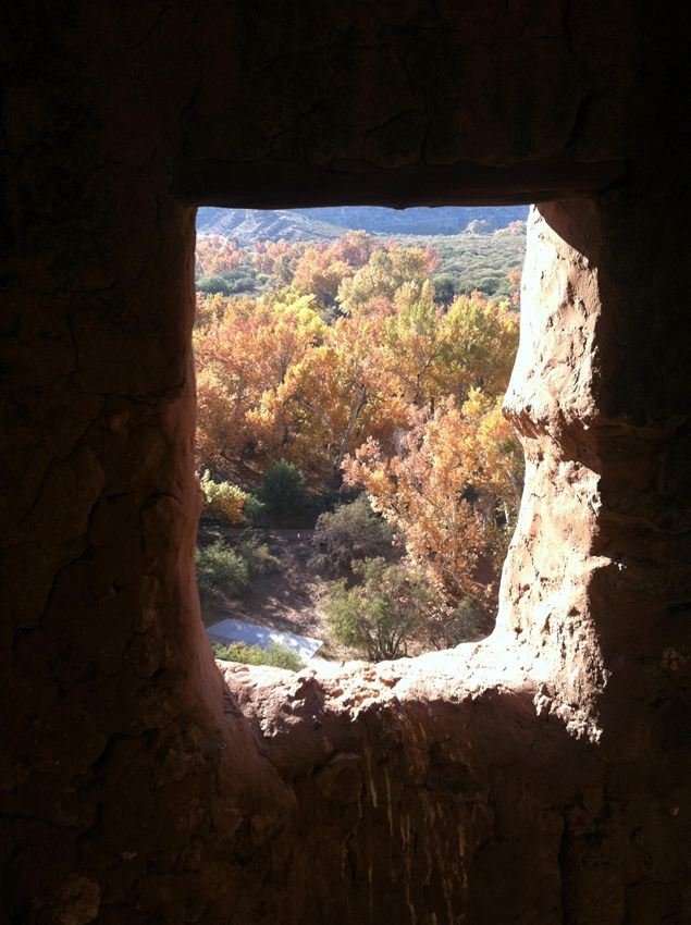
Visitors to Montezuma Castle usually only get to see the dwelling from the outside. This view shows what the Sinagua might have seen.
NPS Photo
NPS photograph credited without copyright restriction
Source & attribution ↗
Resized; some display frames crop the image.
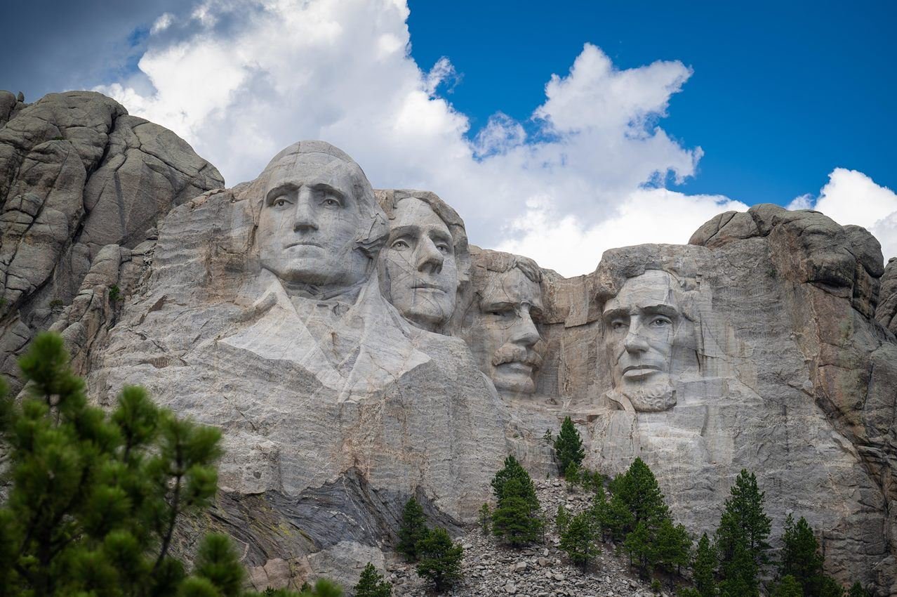
Photo of Mount Rushmore under a bright blue sky with puffy clouds floating over.
NPS Photo
NPS photograph credited without copyright restriction
Source & attribution ↗
Resized; some display frames crop the image.
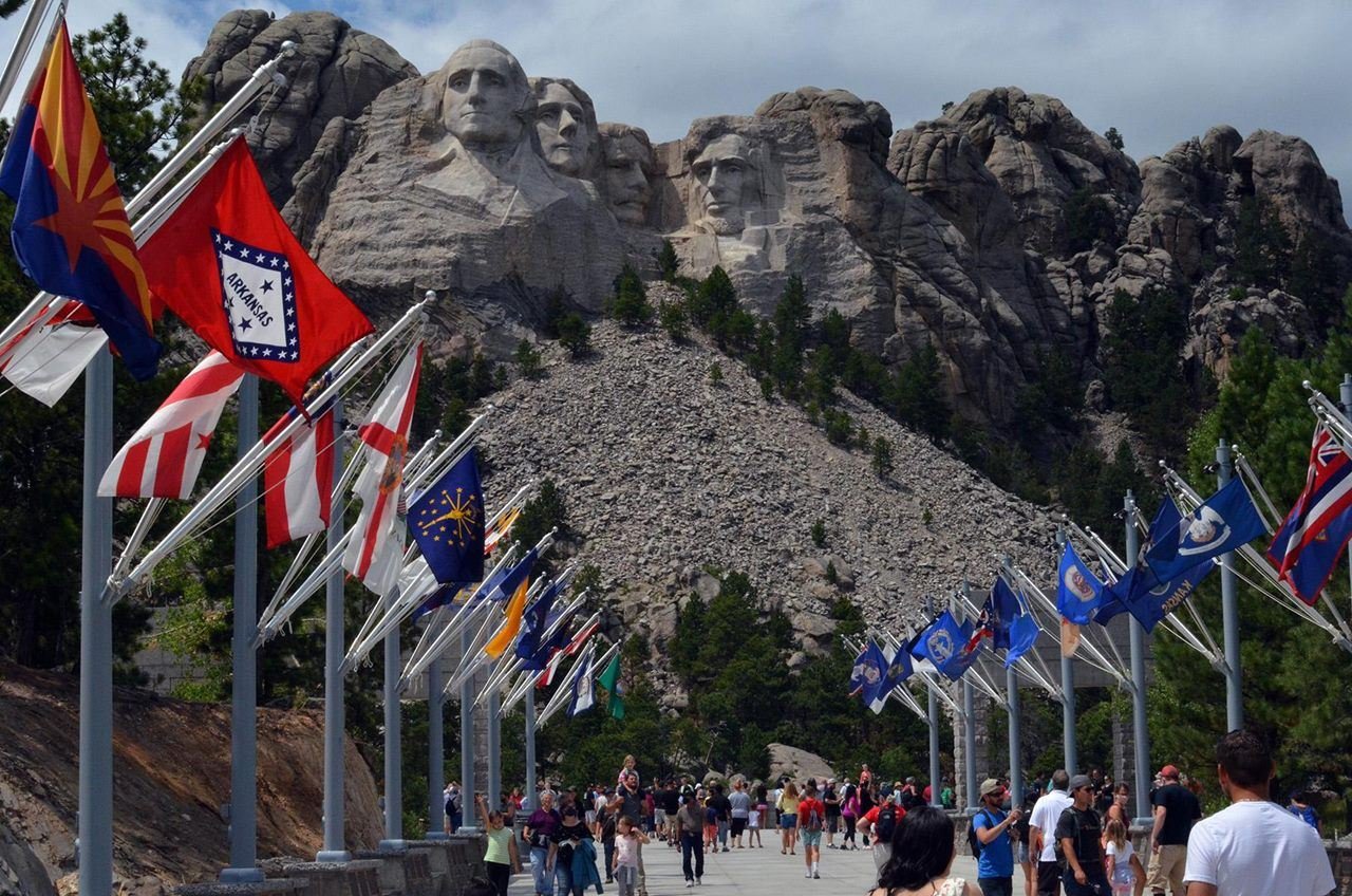
Visitors walking along the Avenue of Flags with Mount Rushmore in the background.
NPS Photo
NPS photograph credited without copyright restriction
Source & attribution ↗
Resized; some display frames crop the image.
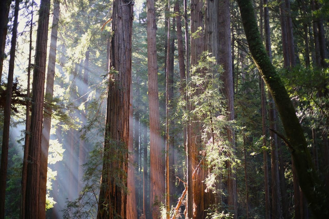
This 550-acre park protects an old-growth forest of coast redwoods (Sequoia sempervirens), the tallest type of tree in the world. Named for famed American naturalist John Muir, the National Monument occupies the homelands of the Coast Miwok people.
NPS/ Jace Ritchey
NPS photograph credited without copyright restriction
Source & attribution ↗
Resized; some display frames crop the image.
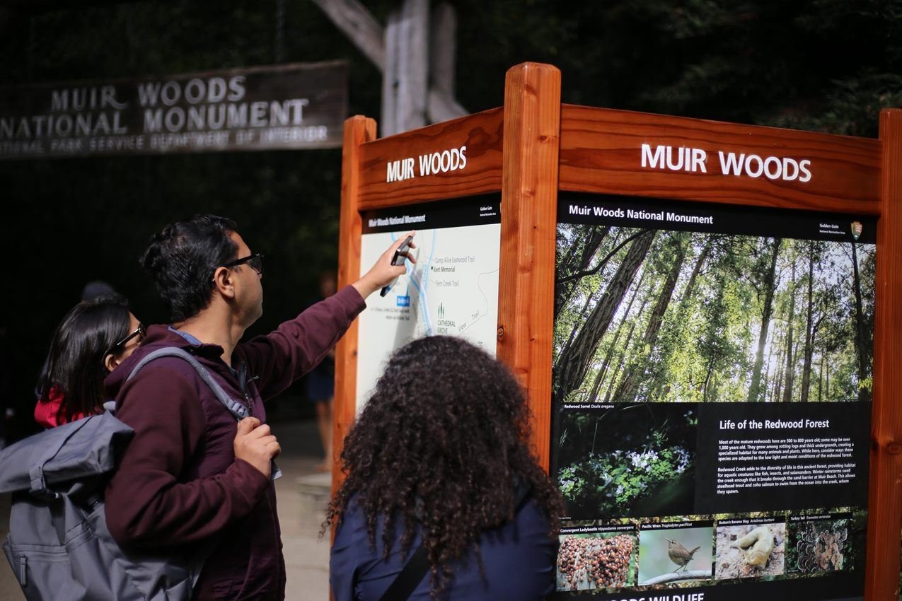
Visitors can receive orientation at the front entrance before entering the forest. Download the NPS App before you visit to have maps, self-guided tours, and more right in your hand.
NPS/ Jace Ritchey
NPS photograph credited without copyright restriction
Source & attribution ↗
Resized; some display frames crop the image.
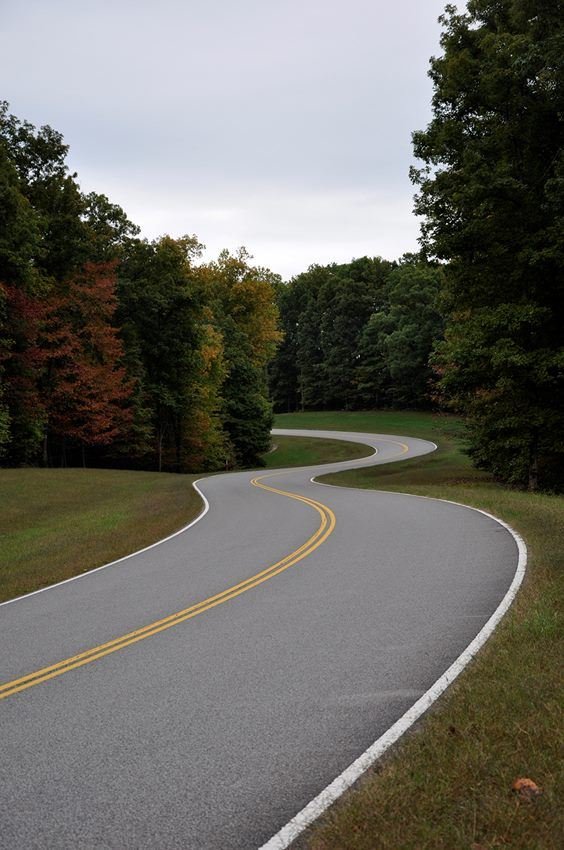
The Natchez Trace Parkway commemorates a historic travel route that helped build the young United States. The Parkway 444 miles, with plenty of stops to allow you to explore some of the history or enjoy the scenery along the way.
NPS Photo
NPS photograph credited without copyright restriction
Source & attribution ↗
Resized; some display frames crop the image.
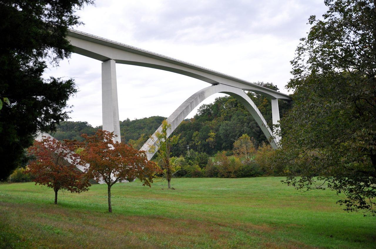
The elegant Double Arch Bridge won the Presidential Award for Design Excellence in 1995. It spans Birdsong Hollow and Tennessee Highway 96. To see it from below, take the TN 96 exit and stop at the pulloff before you get to the highway.
NPS Photo
NPS photograph credited without copyright restriction
Source & attribution ↗
Resized; some display frames crop the image.
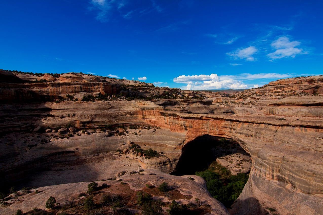
Sipapu Bridge
NPS Photo
NPS photograph credited without copyright restriction
Source & attribution ↗
Resized; some display frames crop the image.
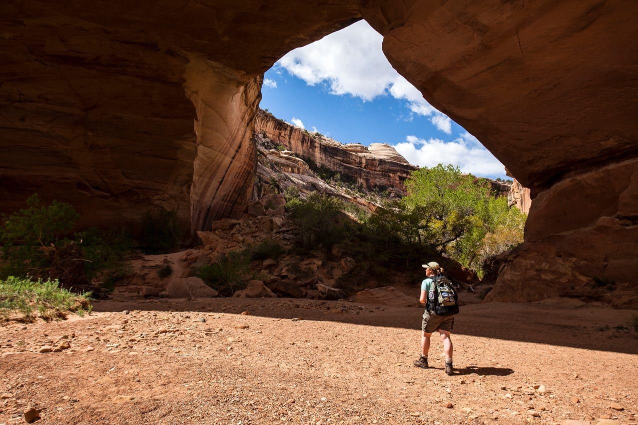
Hiking trails link the three natural bridges at the monument.
NPS Photo / Jacob W. Frank
NPS photograph credited without copyright restriction
Source & attribution ↗
Resized; some display frames crop the image.
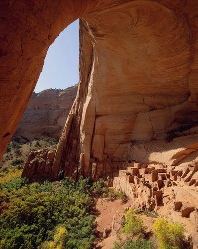
Betatakin Cliff Dwelling was home to the Ancestral Puebloans over 700 years ago.
NPS Photo
NPS photograph credited without copyright restriction
Source & attribution ↗
Resized; some display frames crop the image.
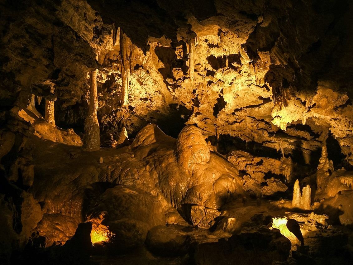
Miller's Chapel at Oregon Caves National Monument and Preserve
NPS
NPS photograph credited without copyright restriction
Source & attribution ↗
Resized; some display frames crop the image.
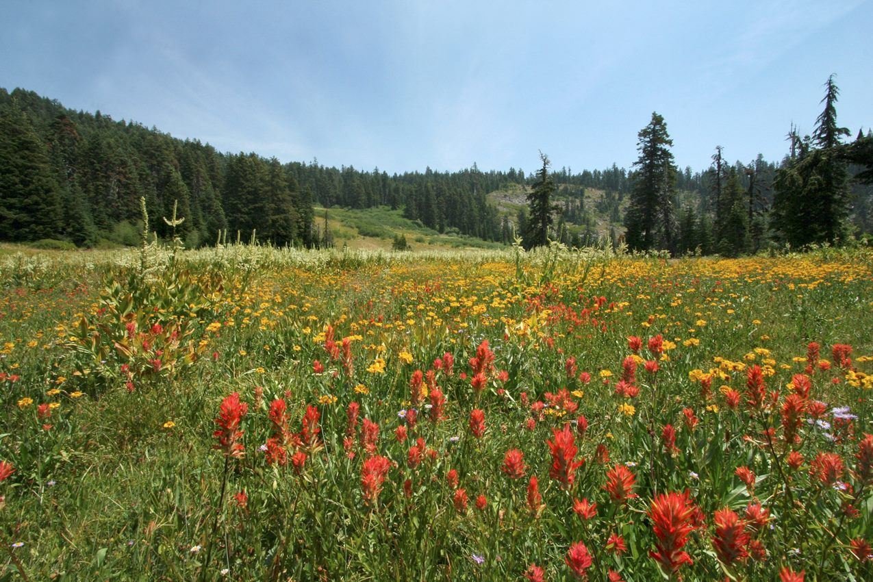
Mountain Meadows at Bigelow Lakes at Oregon Caves National Preserve
NPS
NPS photograph credited without copyright restriction
Source & attribution ↗
Resized; some display frames crop the image.
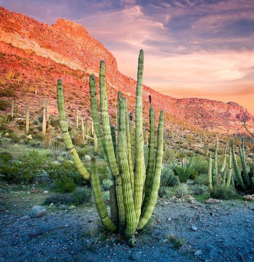
Visit the only place in the U.S. where you can see large stands of organ pipe cacti.
NPS Photo/ Craig Stocks
NPS photograph credited without copyright restriction
Source & attribution ↗
Resized; some display frames crop the image.
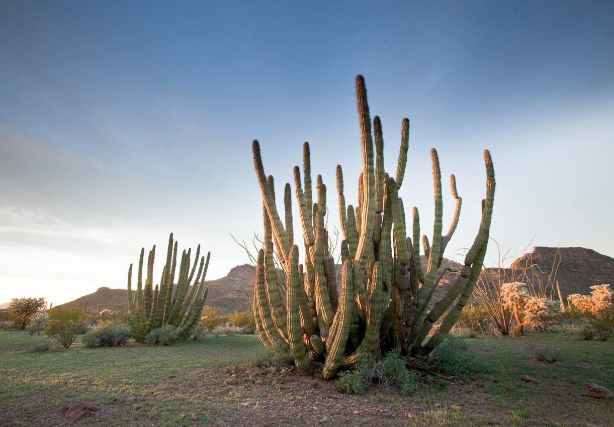
Experience the only place in the US where the Organ Pipe Cactus naturally grows
NPS Photo
NPS photograph credited without copyright restriction
Source & attribution ↗
Resized; some display frames crop the image.
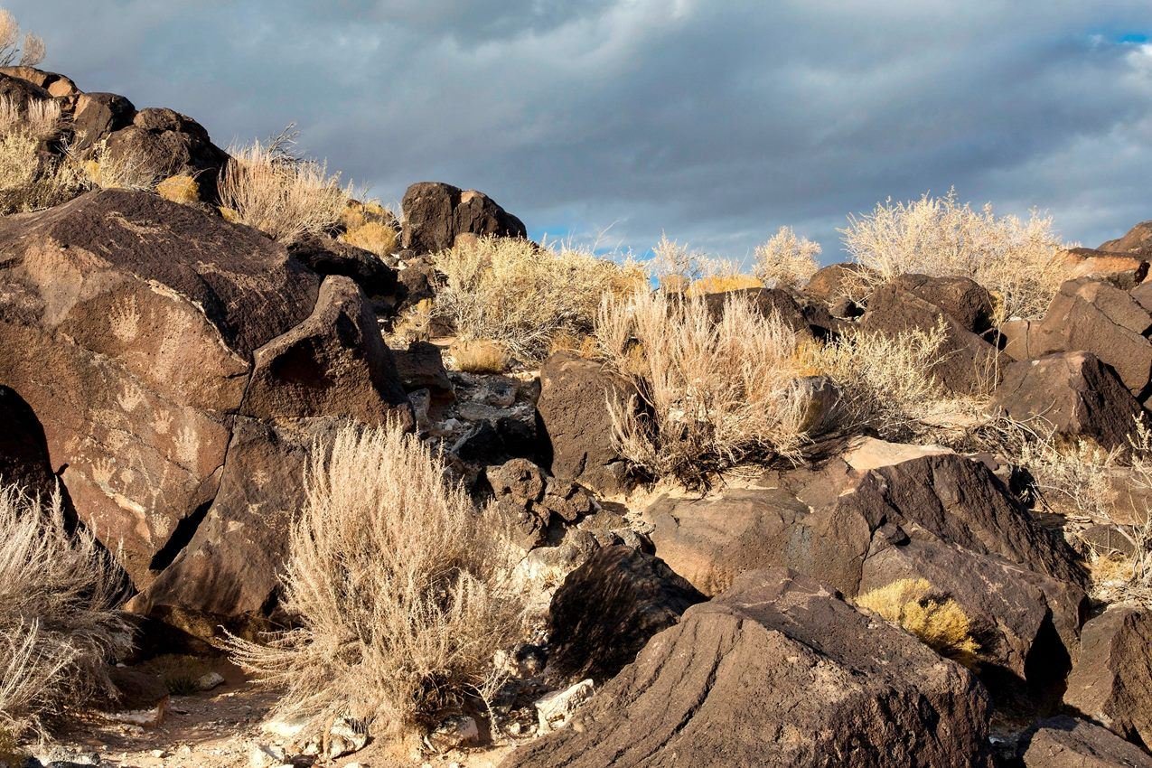
Handprints and other petroglyphs on boulders at Piedras Marcadas.
NPS Photo / Daniel Leifheit
NPS photograph credited without copyright restriction
Source & attribution ↗
Resized; some display frames crop the image.
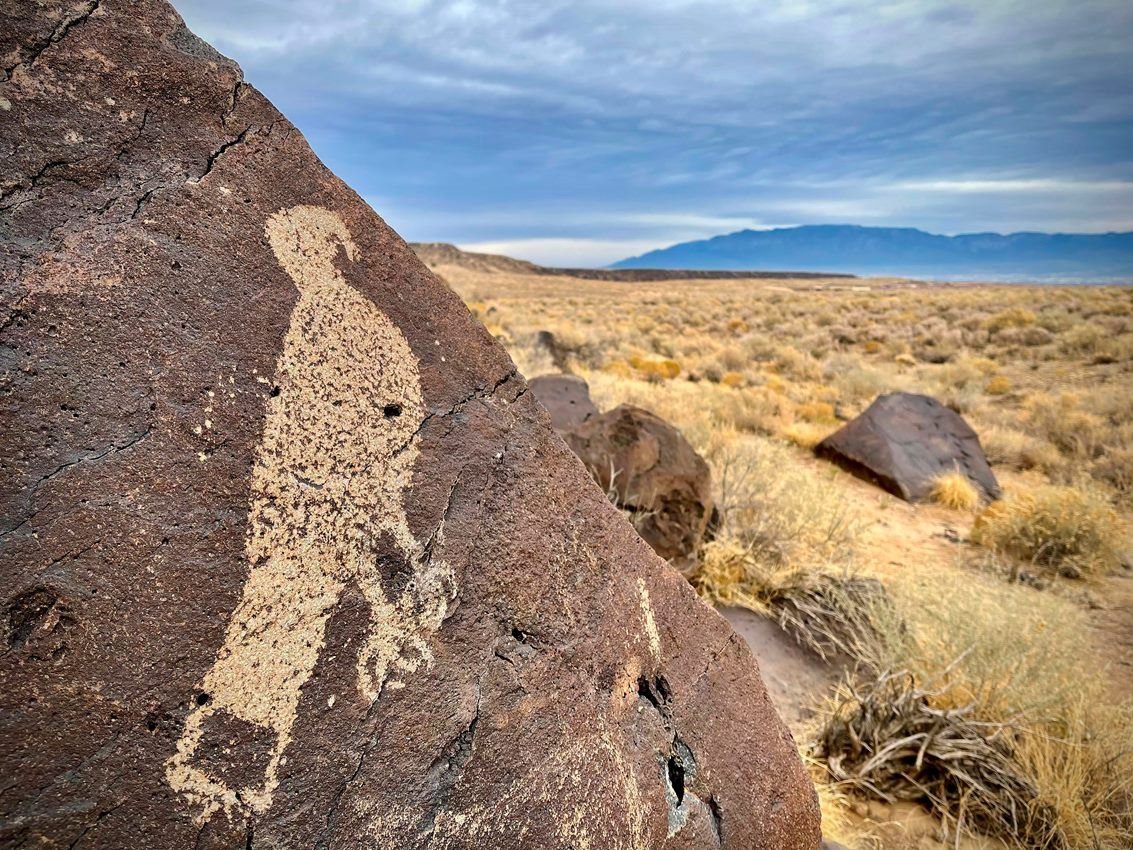
A petroglyph of a hawk at Mesa Prieta. It can be visited from the South Point trailhead.
NPS Photo
NPS photograph credited without copyright restriction
Source & attribution ↗
Resized; some display frames crop the image.
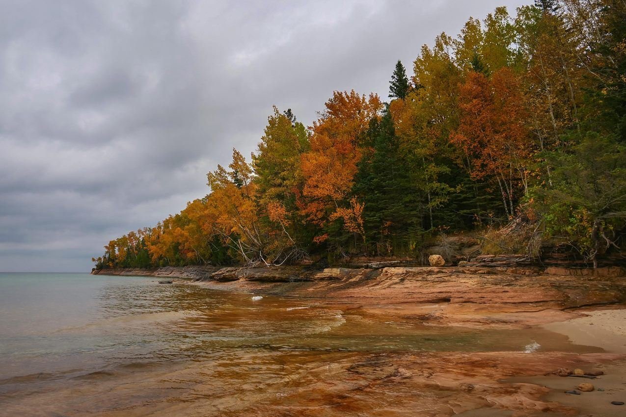
Miners Beach and Elliot Falls on an autumn day
NPS Photo
NPS photograph credited without copyright restriction
Source & attribution ↗
Resized; some display frames crop the image.
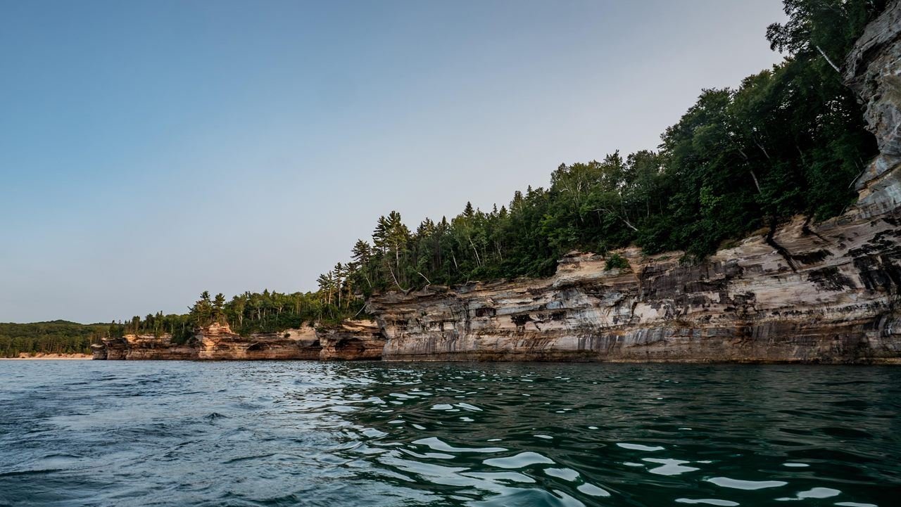
The sandstone cliffs of Pictured Rocks rise out of Lake Superior
NPS Photo
NPS photograph credited without copyright restriction
Source & attribution ↗
Resized; some display frames crop the image.
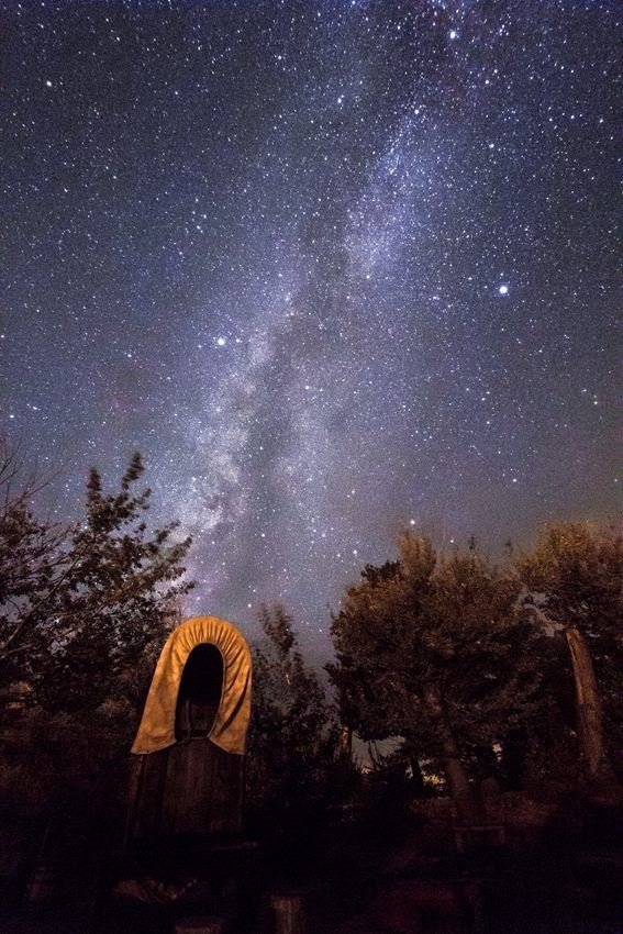
The Milky Way glitters above the chuckwagon at Pipe Spring National Monument. The monument has great night sky clarity because it is located inside the first Dark Sky Nation: The Kaibab Indian Reservation.
NPS Photo/Kait Thomas
NPS photograph credited without copyright restriction
Source & attribution ↗
Resized; some display frames crop the image.
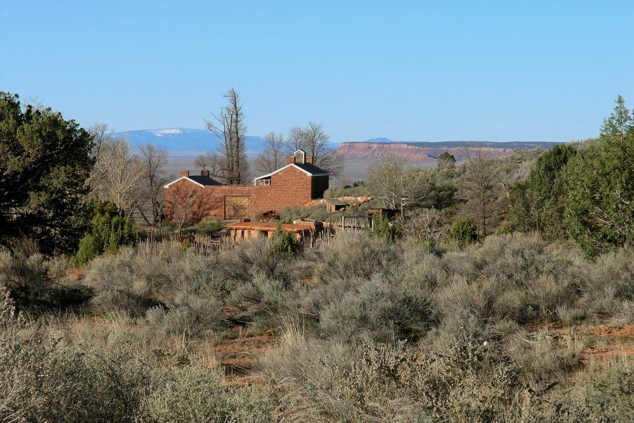
Winsor Castle, constructed in 1870-72, is surrounded by the harsh beauty of Utah and Arizona's canyon country.
NPS Photo/Paul Kister
NPS photograph credited without copyright restriction
Source & attribution ↗
Resized; some display frames crop the image.
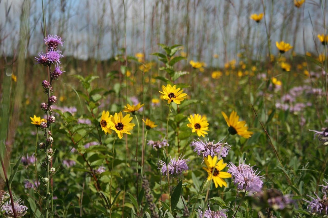
The tallgrass prairie is an explosion of color spring through fall
NPS Photo
NPS photograph credited without copyright restriction
Source & attribution ↗
Resized; some display frames crop the image.
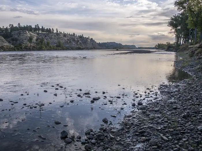
Yellowstone River
BLM Montana Dakotas
Federal-agency photograph credited to BLM
Source & attribution ↗
Resized; some display frames crop the image.
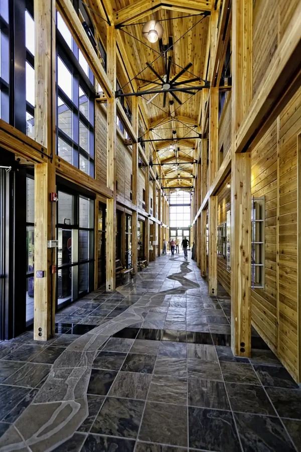
Visitor Center Main Hall
BLM Montana Dakotas
Federal-agency photograph credited to BLM
Source & attribution ↗
Resized; some display frames crop the image.
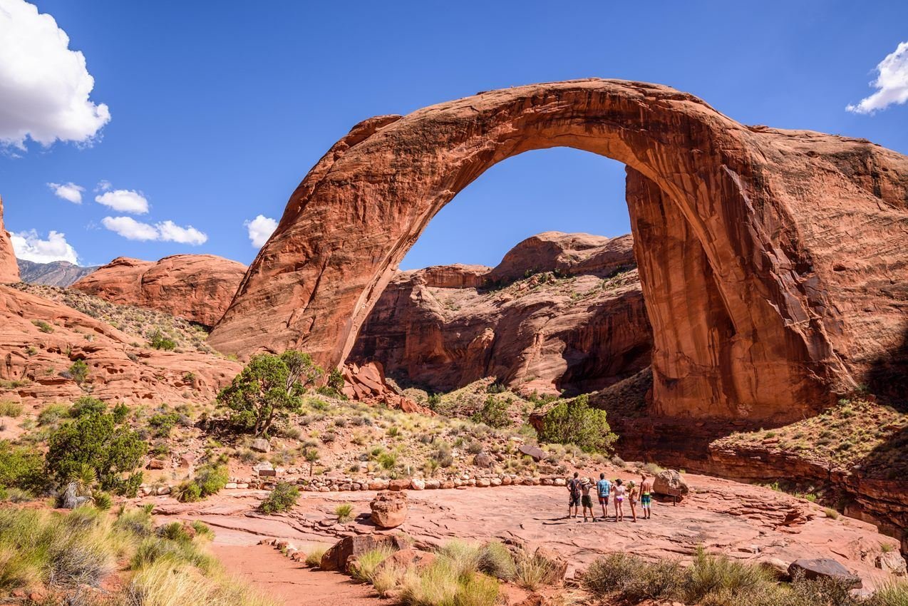
Visitors stop at the second viewing area to get a close look of Rainbow Bridge.
NPS Photo/ Chris Eaton
NPS photograph credited without copyright restriction
Source & attribution ↗
Resized; some display frames crop the image.
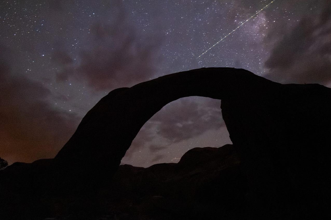
Rainbow Bridge National Monument is an International Dark Sky Sanctuary.
NPS Photo/ M. Prachthauser
NPS photograph credited without copyright restriction
Source & attribution ↗
Resized; some display frames crop the image.
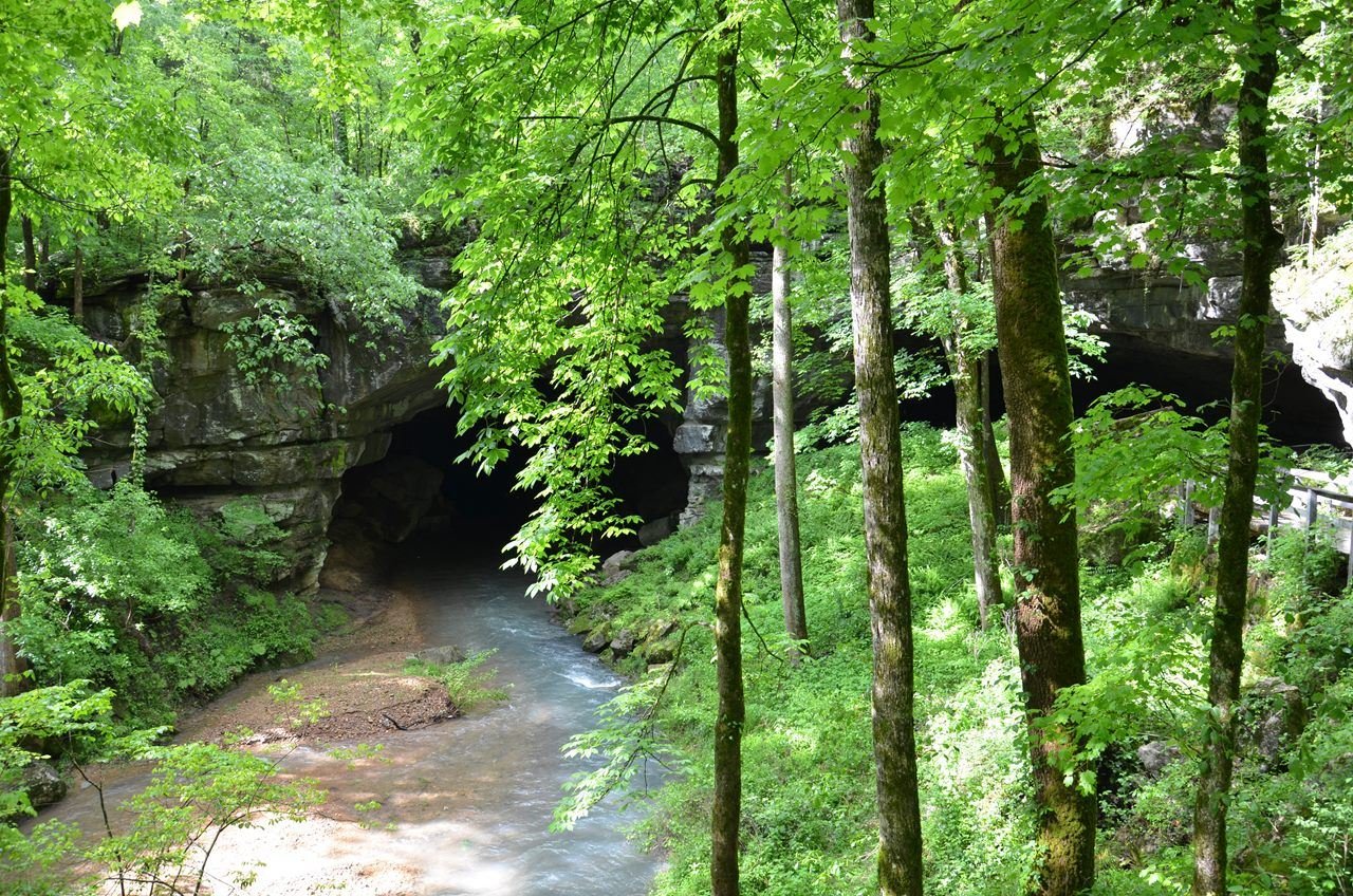
Prehistoric people continuously used Russell Cave for over 10,000 years
NPS Photo / Mary Dawson
NPS photograph credited without copyright restriction
Source & attribution ↗
Resized; some display frames crop the image.
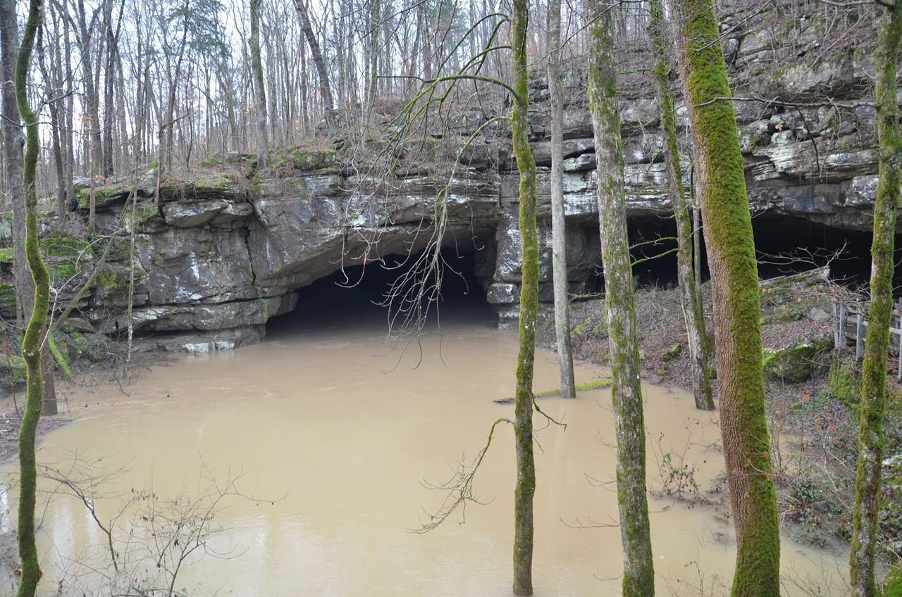
14,000 acres drain into Russell Cave
NPS Photo / Mary Dawson
NPS photograph credited without copyright restriction
Source & attribution ↗
Resized; some display frames crop the image.
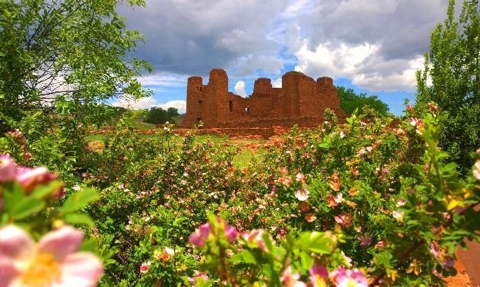
Quarai Mission in Spring
NPS Photo
NPS photograph credited without copyright restriction
Source & attribution ↗
Resized; some display frames crop the image.
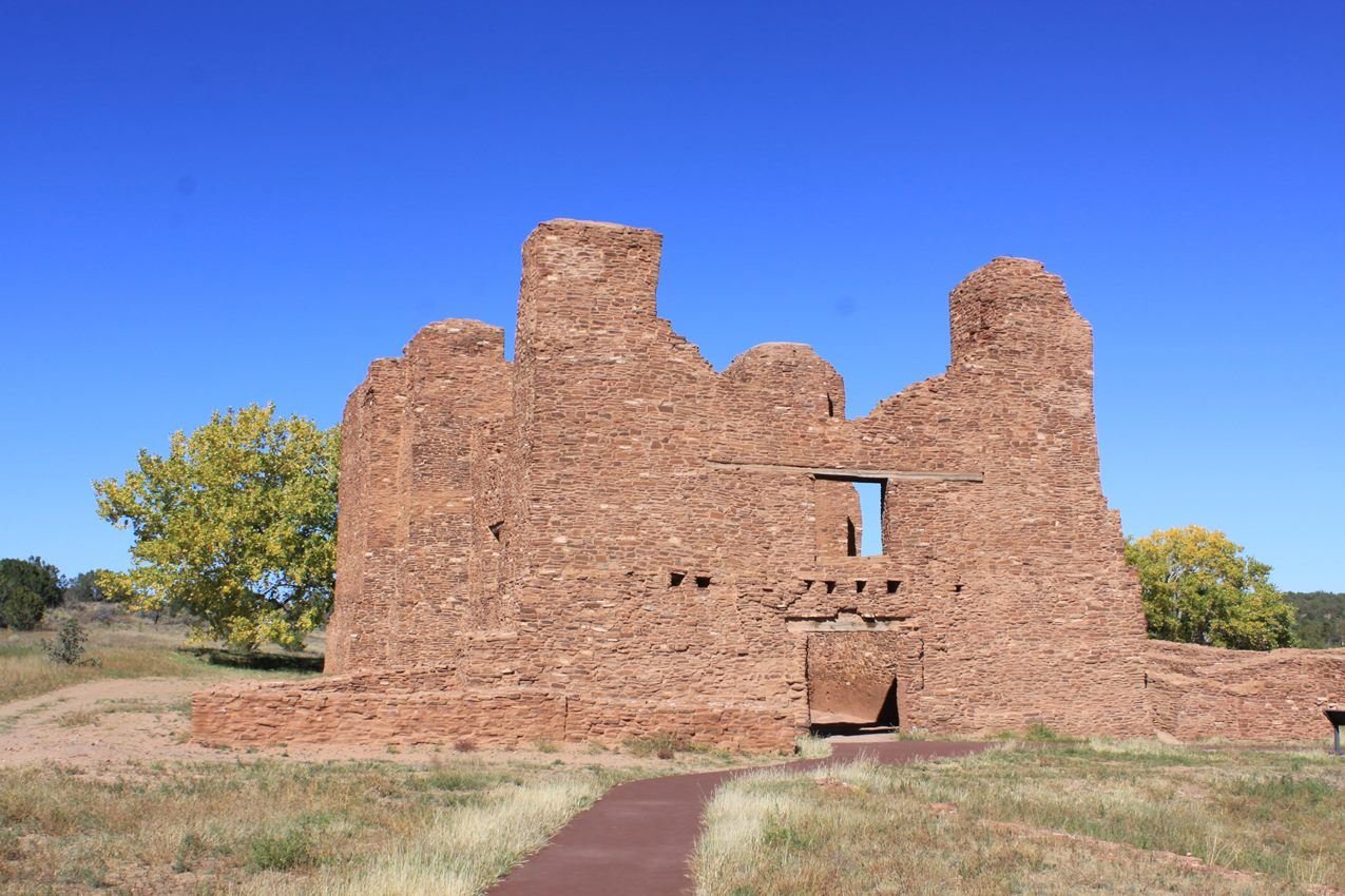
An overview of the Quarai Mission, seen from the west.
NPS Photo
NPS photograph credited without copyright restriction
Source & attribution ↗
Resized; some display frames crop the image.
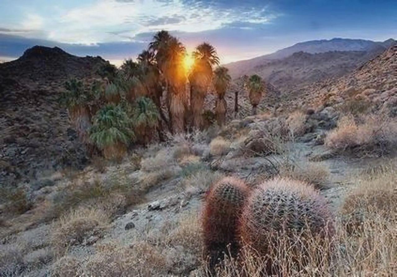
Santa Rosa San Jacinto Mountains National Monument
Bob Wick/BLM
Federal-agency photograph credited to BLM
Source & attribution ↗
Resized; some display frames crop the image.
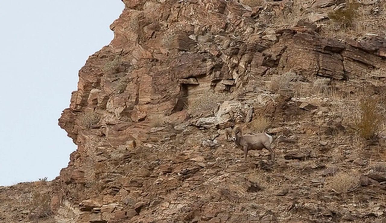
Big Horn Sheep
Photo by Bob Wick, BLM.
Federal-agency photograph credited to BLM
Source & attribution ↗
Resized; some display frames crop the image.
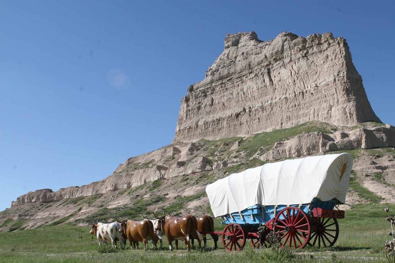
Thousands of covered wagons rolled by Eagle Rock in the mid nineteenth century.
NPS Photo / Wesley Gant
NPS photograph credited without copyright restriction
Source & attribution ↗
Resized; some display frames crop the image.
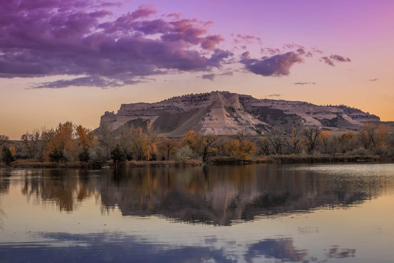
Scotts Bluff as seen from the north side of the North Platte River
NPS/Brian Poffenberger
NPS photograph credited without copyright restriction
Source & attribution ↗
Resized; some display frames crop the image.
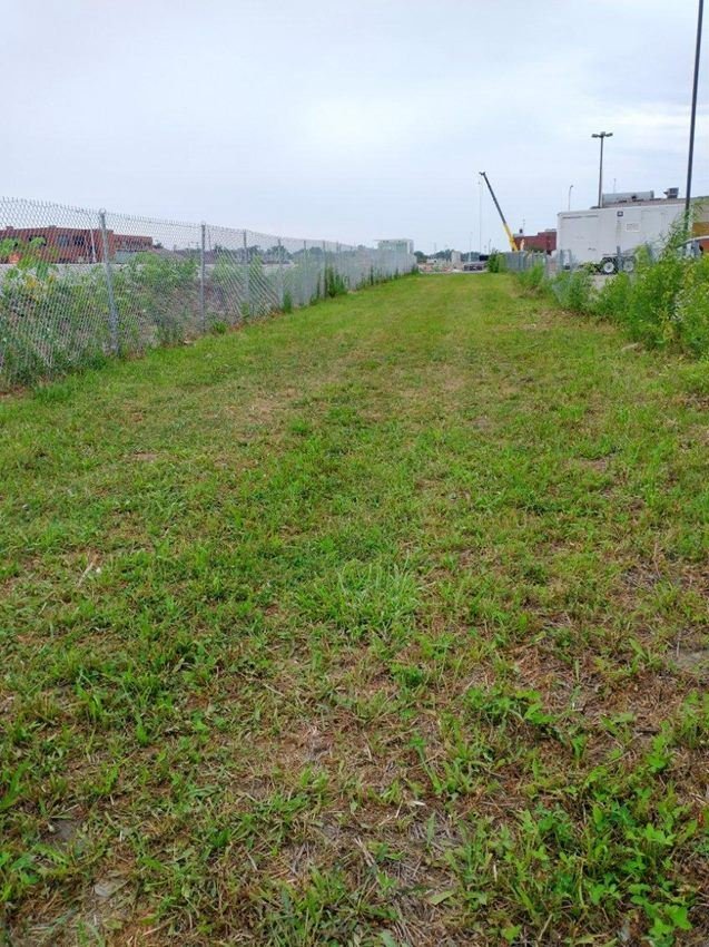
View of Springfield 1908 Race Riot National Monument Today
NPS
NPS photograph credited without copyright restriction
Source & attribution ↗
Resized; some display frames crop the image.
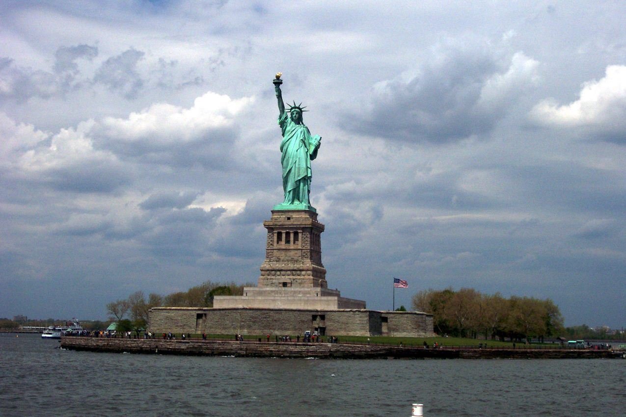
The Statue of Liberty's patina green stands out brilliantly on a cloudy day.
NPS Photo
NPS photograph credited without copyright restriction
Source & attribution ↗
Resized; some display frames crop the image.
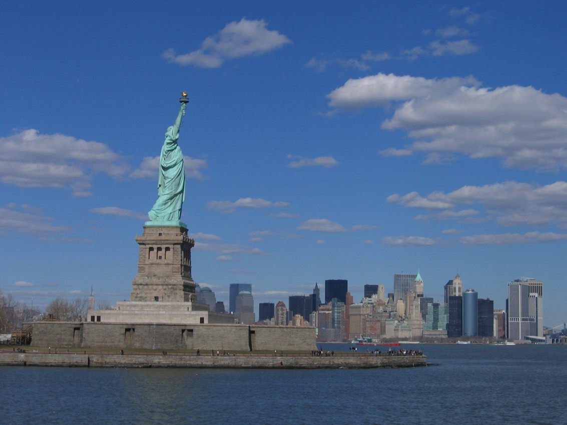
Statue of Liberty stands tall on Liberty Island with the skyline of bustling New York City in view.
NPS Photo
NPS photograph credited without copyright restriction
Source & attribution ↗
Resized; some display frames crop the image.
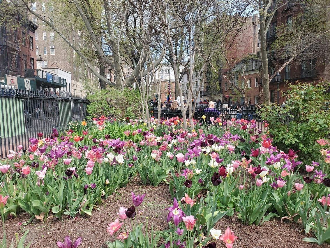
Christopher Park is central at Stonewall National Monument, and has beautiful gardens.
NPS Photo
NPS photograph credited without copyright restriction
Source & attribution ↗
Resized; some display frames crop the image.
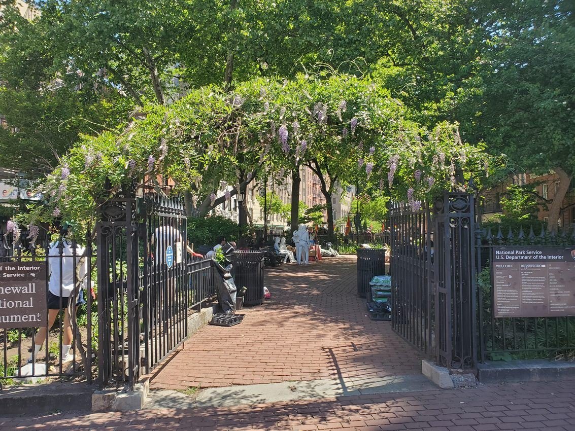
The entryway to Christopher Park
NPS Photo
NPS photograph credited without copyright restriction
Source & attribution ↗
Resized; some display frames crop the image.
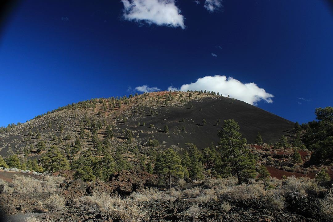
Sunset Crater Volcano is named for the color of the rusty red cinders near its peak.
NPS Photo / Elliot Schultz
NPS photograph credited without copyright restriction
Source & attribution ↗
Resized; some display frames crop the image.
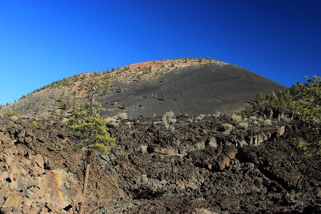
Three trails allow visitors to explore the Bonito Lava Flow.
NPS Photo / Elliot Schultz
NPS photograph credited without copyright restriction
Source & attribution ↗
Resized; some display frames crop the image.
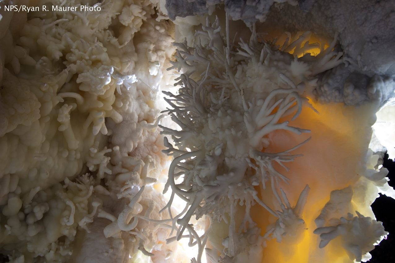
Timpanogos Cave is filled with twisting helictites and other beautiful formations
NPS/Ryan R Maurer
NPS photograph credited without copyright restriction
Source & attribution ↗
Resized; some display frames crop the image.
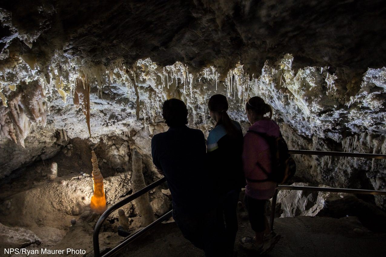
Timpanogos Cave's beautiful Chimes Chamber is filled with delicate cave formations
NPS/Ryan R. Maurer
NPS photograph credited without copyright restriction
Source & attribution ↗
Resized; some display frames crop the image.
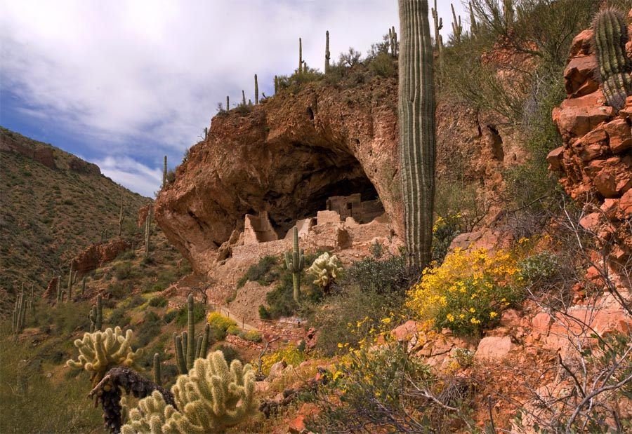
The Lower Cliff Dwelling in Spring
NPS Photo
NPS photograph credited without copyright restriction
Source & attribution ↗
Resized; some display frames crop the image.
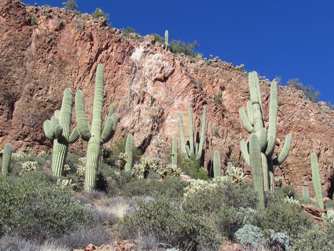
Hillside with Saguaro Cactus near the Lower Cliff Dwelling
NPS Photo/ Christa Sadler
NPS photograph credited without copyright restriction
Source & attribution ↗
Resized; some display frames crop the image.
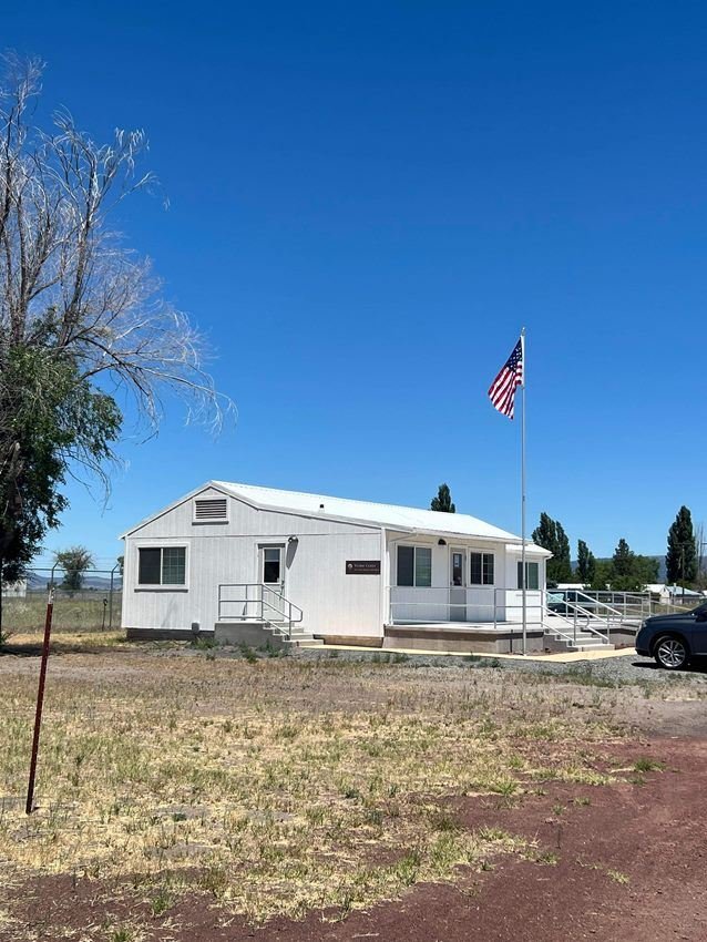
Tule Lake Visitor Center
NPS Photo
NPS photograph credited without copyright restriction
Source & attribution ↗
Resized; some display frames crop the image.
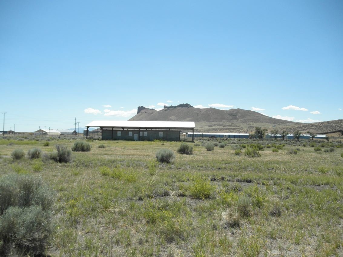
Tule Lake Segregation Center Jail with Castle Rock in the back ground
NPS Photo
NPS photograph credited without copyright restriction
Source & attribution ↗
Resized; some display frames crop the image.
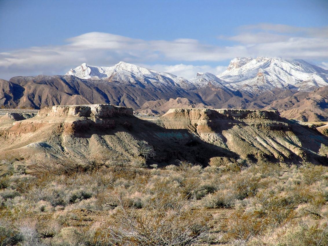
Tule Springs during winter
NPS Photo
NPS photograph credited without copyright restriction
Source & attribution ↗
Resized; some display frames crop the image.
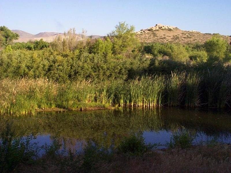
Tuzigoot Pueblo sits on a hilltop above an area perfect for farming. Tavasci Marsh provides water and other resources.
NPS Photo
NPS photograph credited without copyright restriction
Source & attribution ↗
Resized; some display frames crop the image.
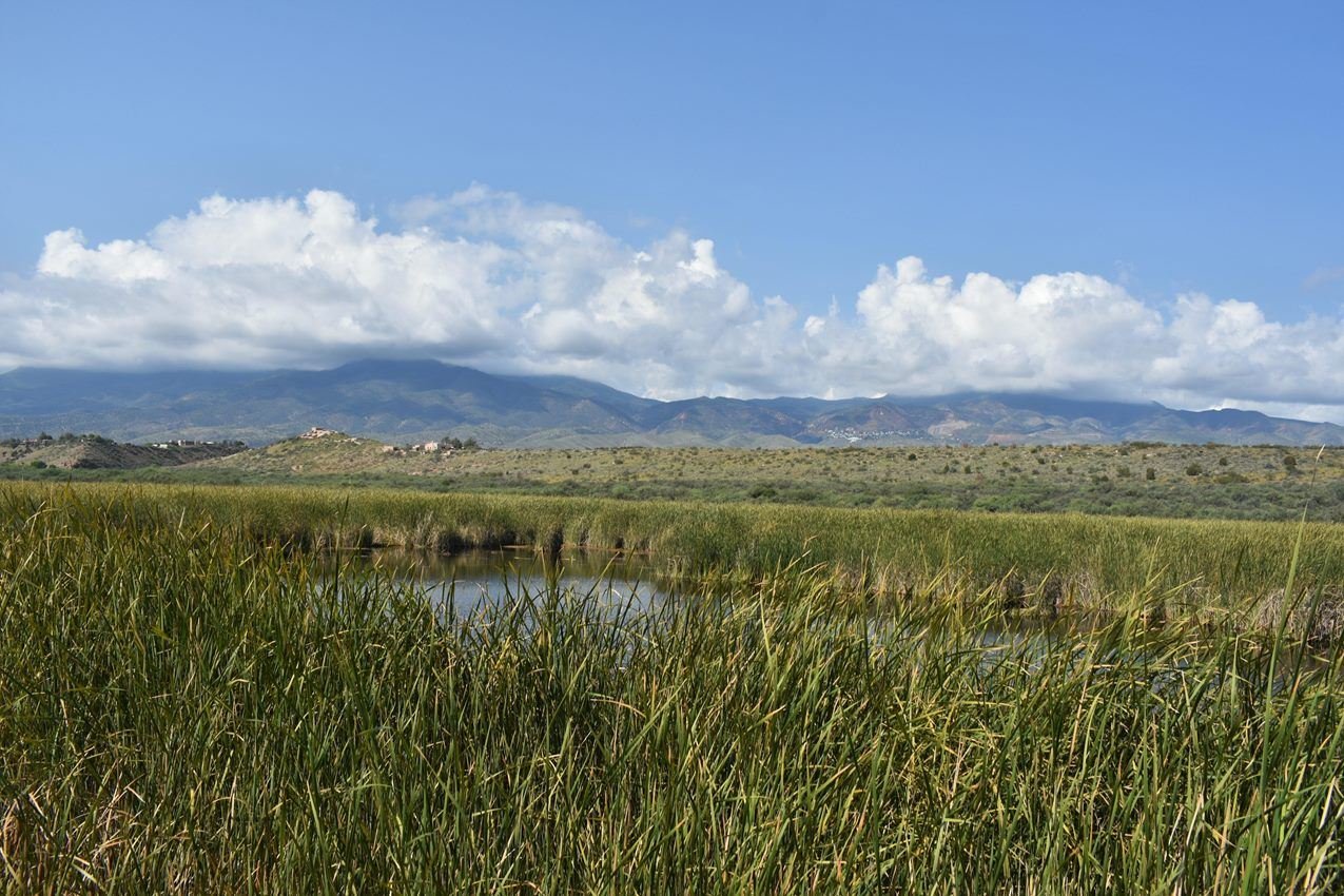
Tavasci Marsh is a popular destination for hikers, birders, and photographers.
NPS Photo
NPS photograph credited without copyright restriction
Source & attribution ↗
Resized; some display frames crop the image.
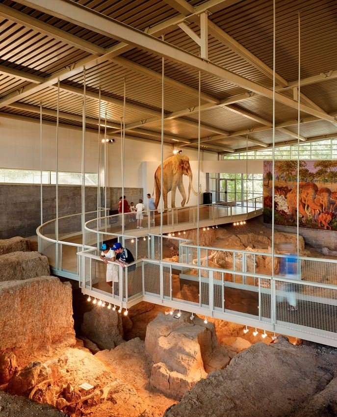
Visitors view fossils from above using the elevated walkway.
NPS Photo
NPS photograph credited without copyright restriction
Source & attribution ↗
Resized; some display frames crop the image.
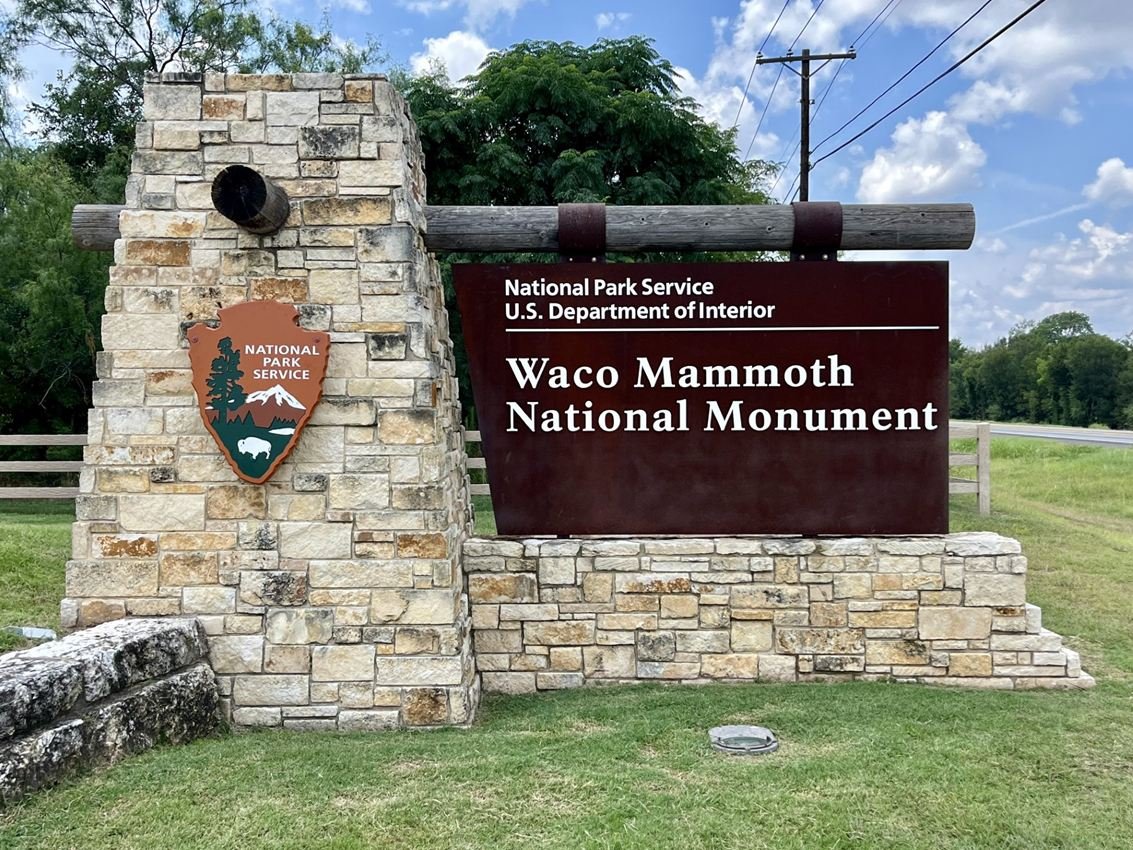
Waco Mammoth National Monument became part of the National Park Service on July 10, 2015.
NPS Photo
NPS photograph credited without copyright restriction
Source & attribution ↗
Resized; some display frames crop the image.
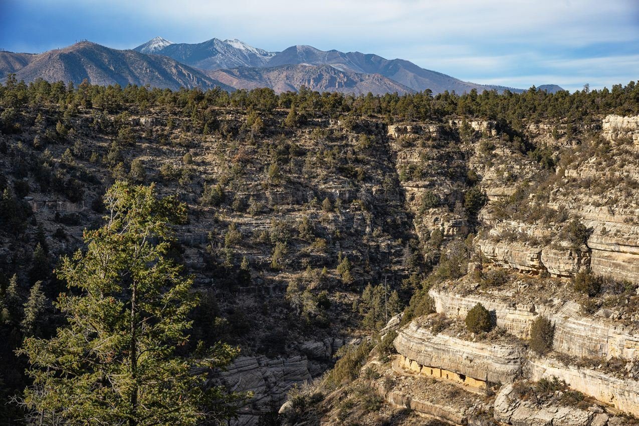
The dynamic landscape of Walnut Canyon was home to a thriving Native American community roughly 900 years ago.
NPS Photo
NPS photograph credited without copyright restriction
Source & attribution ↗
Resized; some display frames crop the image.
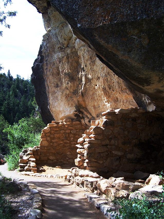
Walnut Canyon National Monument protects a series of ancient cliff dwellings built between 1125 and 1250 CE.
NPS Photo / Marge Ullmann
NPS photograph credited without copyright restriction
Source & attribution ↗
Resized; some display frames crop the image.
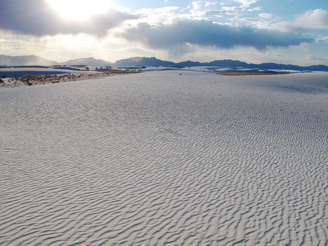
Sunsets are one of the most popular times to visit White Sands. Visitors can experience sunset every day of the year.
NPS Photo
NPS photograph credited without copyright restriction
Source & attribution ↗
Resized; some display frames crop the image.
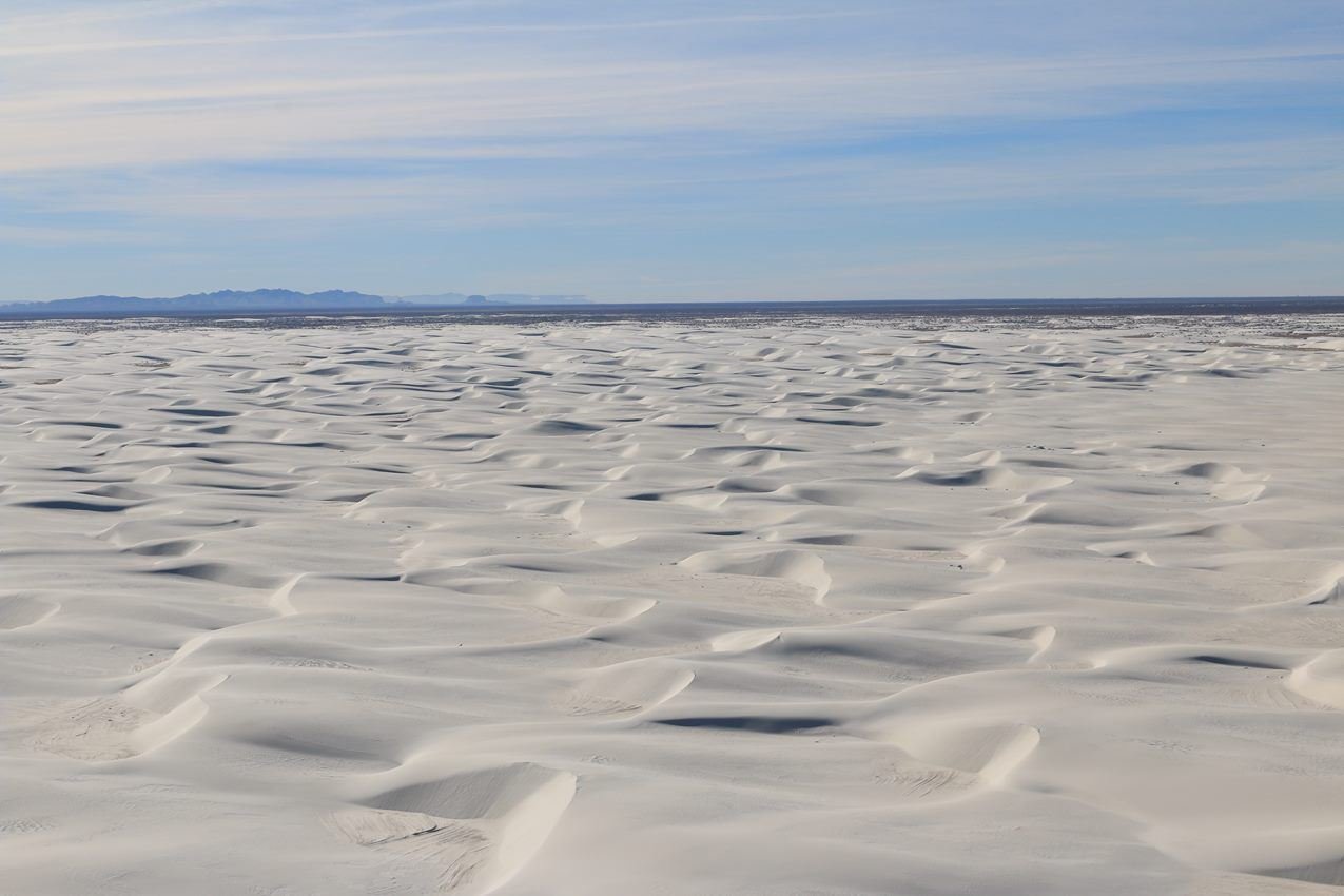
The dunes at White Sands cover 275 square miles of the Tularosa Basin.
NPS Photo
NPS photograph credited without copyright restriction
Source & attribution ↗
Resized; some display frames crop the image.
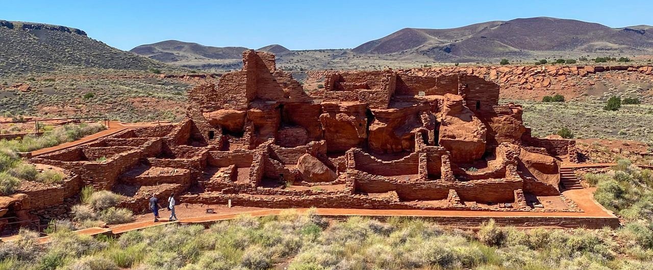
Wupatki, the monument's namesake pueblo, is made up of more than 100 rooms. The trail also features an ancient ball court and natural blowhole.
NPS
NPS photograph credited without copyright restriction
Source & attribution ↗
Resized; some display frames crop the image.
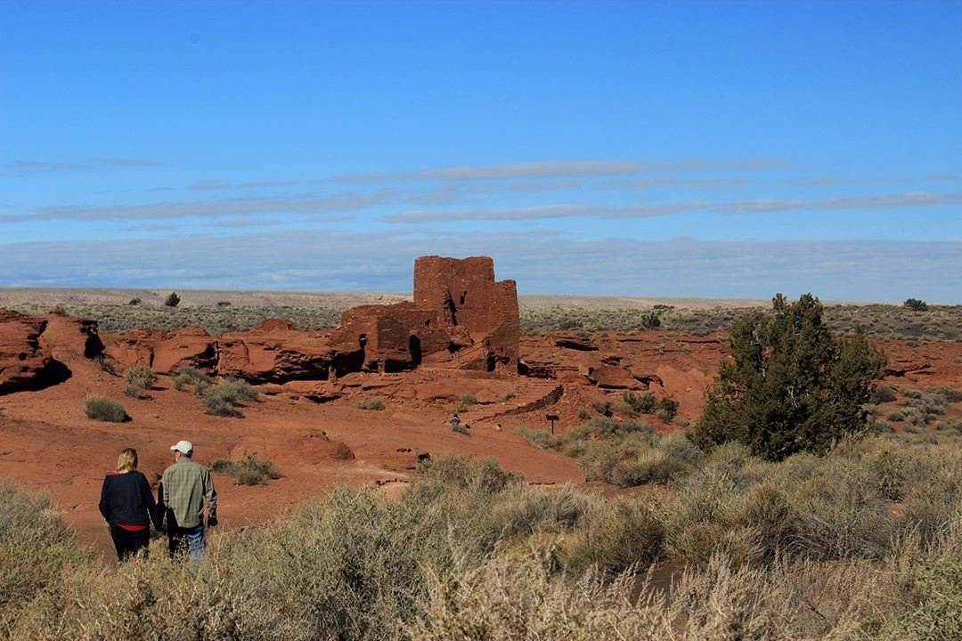
Wukoki Pueblo is located three miles from the Wupatki Visitor Center.
NPS Photo / Elliot Schultz
NPS photograph credited without copyright restriction
Source & attribution ↗
Resized; some display frames crop the image.
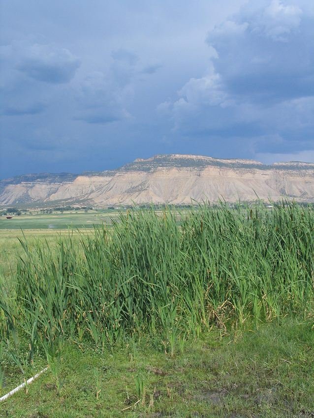
Cattails define marshy locations watered by springs.
NPS Photo
NPS photograph credited without copyright restriction
Source & attribution ↗
Resized; some display frames crop the image.
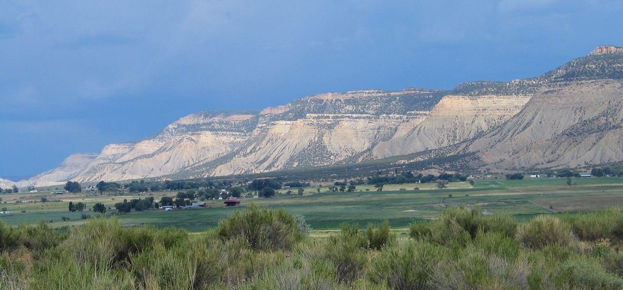
View of Mesa Verde above from Yucca House in the valley below.
NPS Photo
NPS photograph credited without copyright restriction
Source & attribution ↗
Resized; some display frames crop the image.