
Real photographs from National Park Service sources credited without a copyright restriction and Federal Highway Administration galleries marked Public Domain. Captions identify the scenes; a header used across several pages illustrates the named place in its credit, not every route on that page. Images have been resized and display frames may crop them.
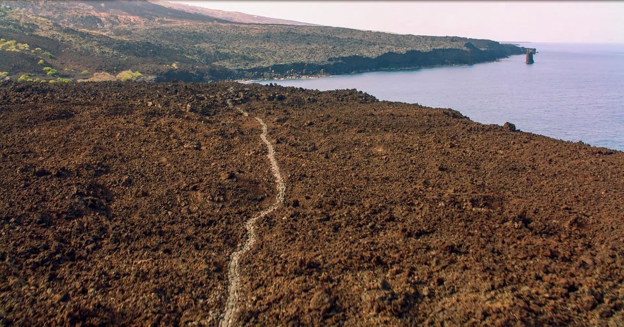
The Ala Kahakai National Historic Trail traverses 175 miles around the island of Hawaiʻi.
NPS Photo · Public domain, NPS
Source & rights record ↗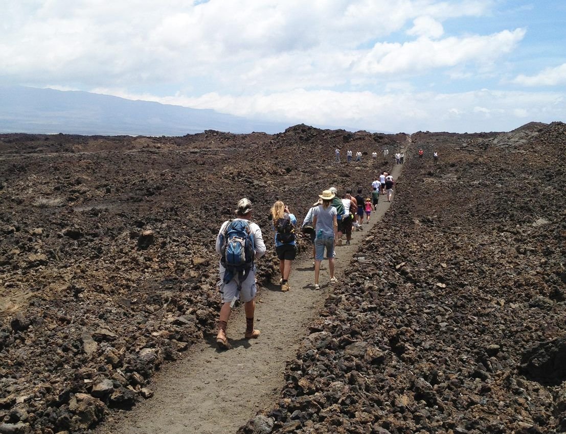
The Ala Kahakai corridor passes through many historic trails. Here, staff and community members walk along a section of the Kīholo-Puakō section of the Ala Loa.
NPS Photo · Public domain, NPS
Source & rights record ↗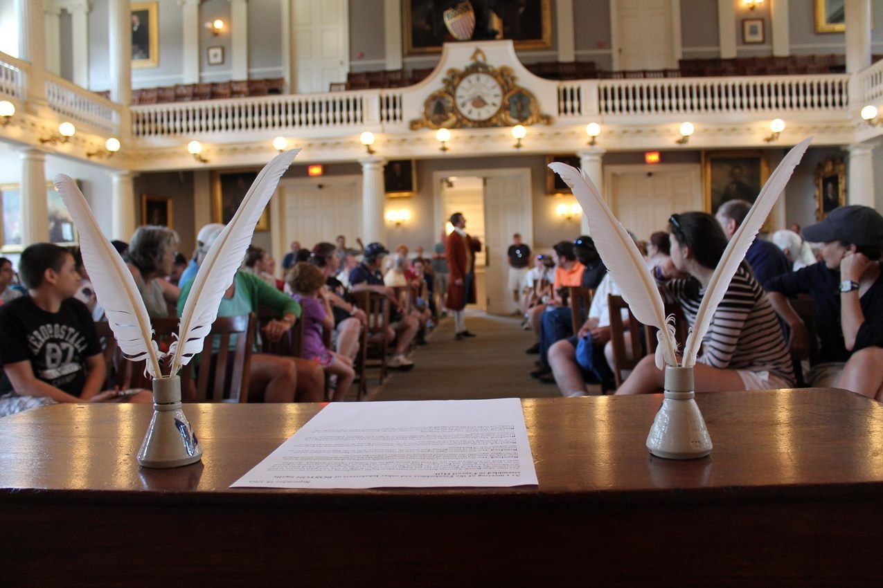
During the summer, the park hosts Town Meeting programs in Faneuil Hall. These interactive programs allow visitors to participate in lively debate on a topic once debated in the Great Hall.
NPS Photo · Public domain, NPS
Source & rights record ↗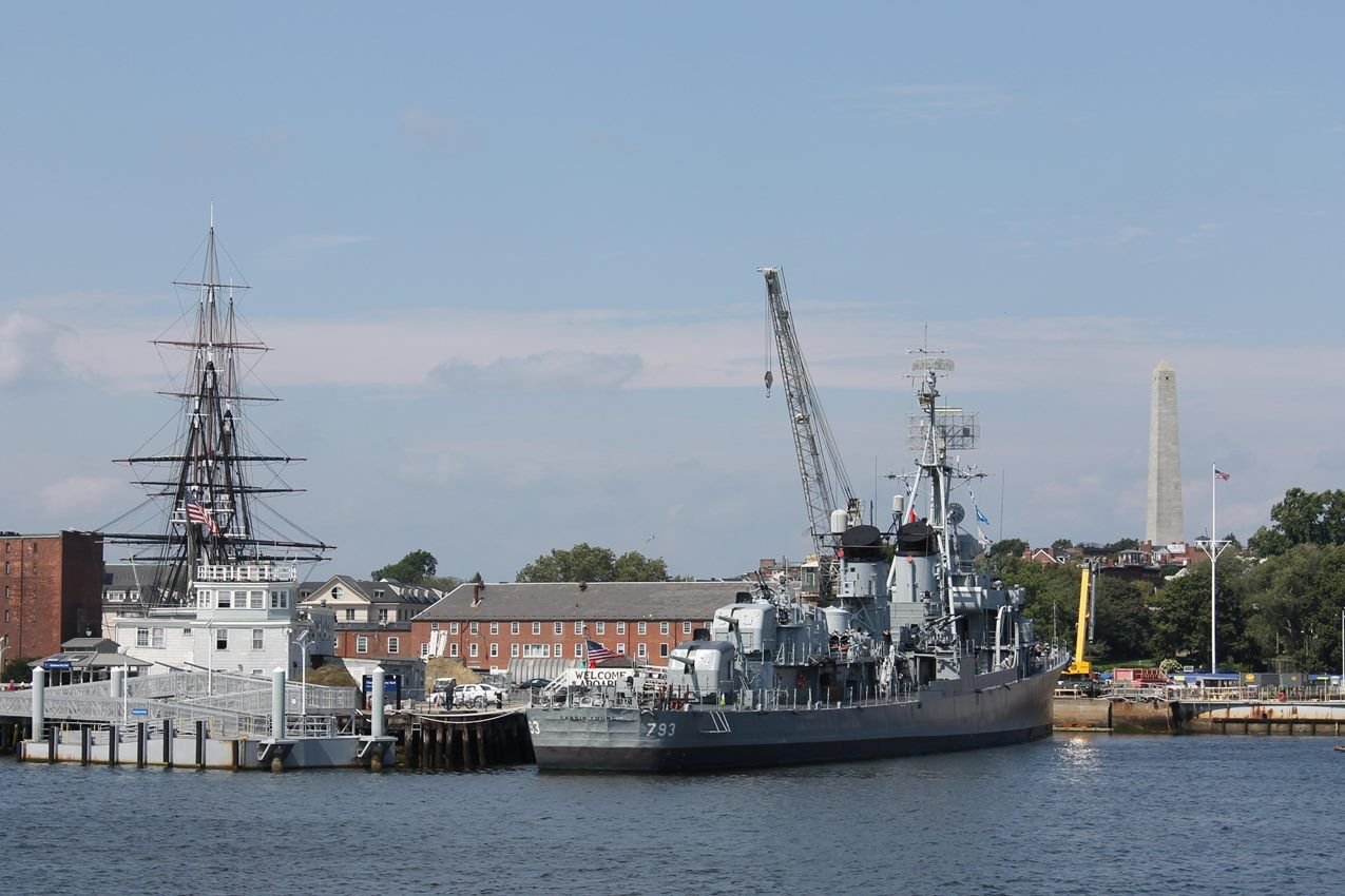
Established as one of the country's first naval shipyards, the Charlestown Navy Yard witnessed 174 years of shipbuilding. Today, it is home to USS CONSTITUTION and USS CASSIN YOUNG (DD-793).
NPS Photo · Public domain, NPS
Source & rights record ↗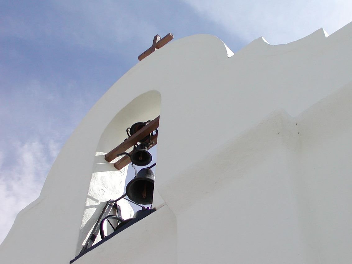
A site along the Butterfield Overland National Historic Trail
NPS Photo · Public domain, NPS
Source & rights record ↗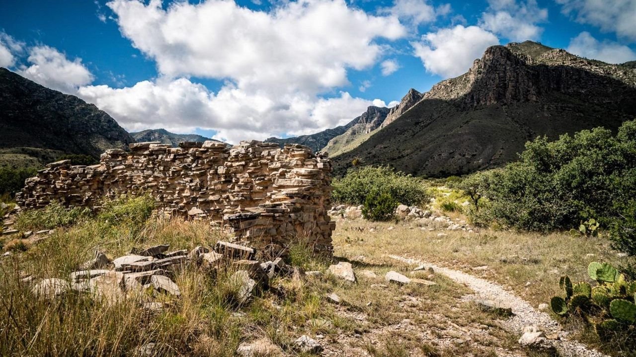
Visit the Butterfield Overland National Historic Trail to a take a step back in time.
NPS Photo · Public domain, NPS
Source & rights record ↗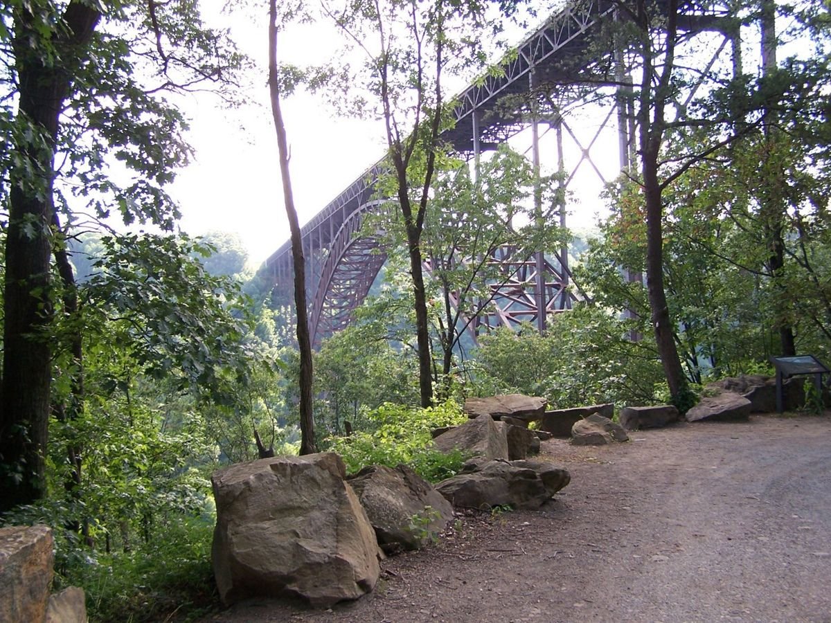
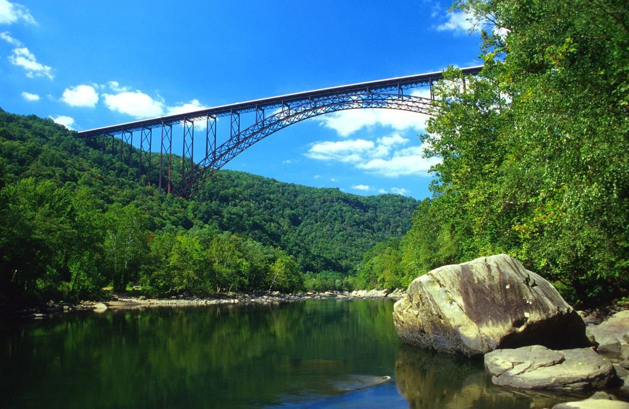
The World’s Second Longest Single Arch Steel Span, the New River Gorge Bridge
Public Domain. Photograph by David E. Fattaleh
Source & rights record ↗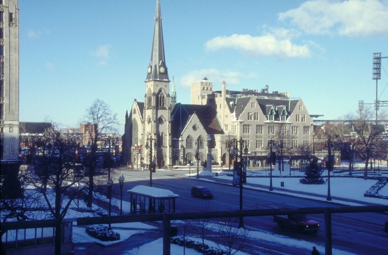
Avenue and Church Near Comerica Park on the Woodward
Public Domain. Photo by Dennis Adams of FHWA
Source & rights record ↗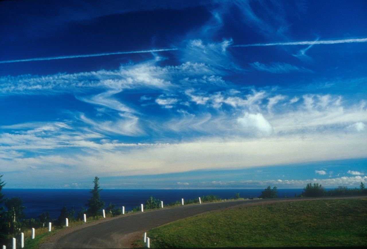
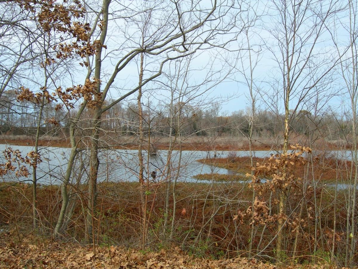
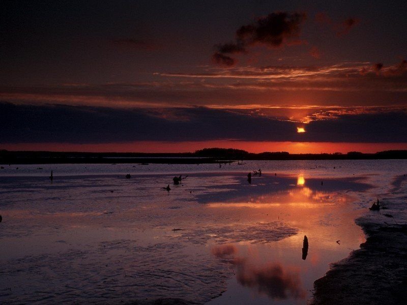
A Foreboding Sunset over Blackwater National Wildlife Refuge
Public Domain. Photo Courtesy of Dorchester County Tourism
Source & rights record ↗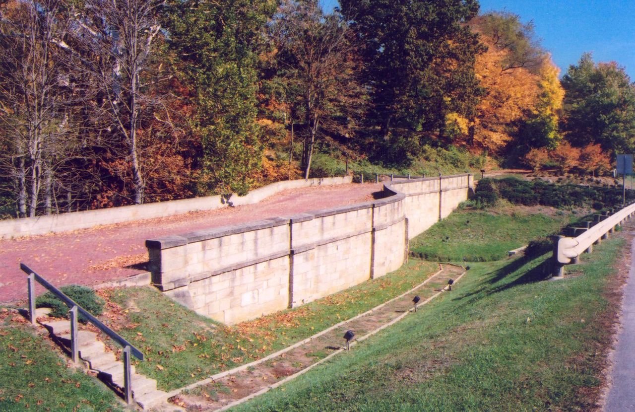
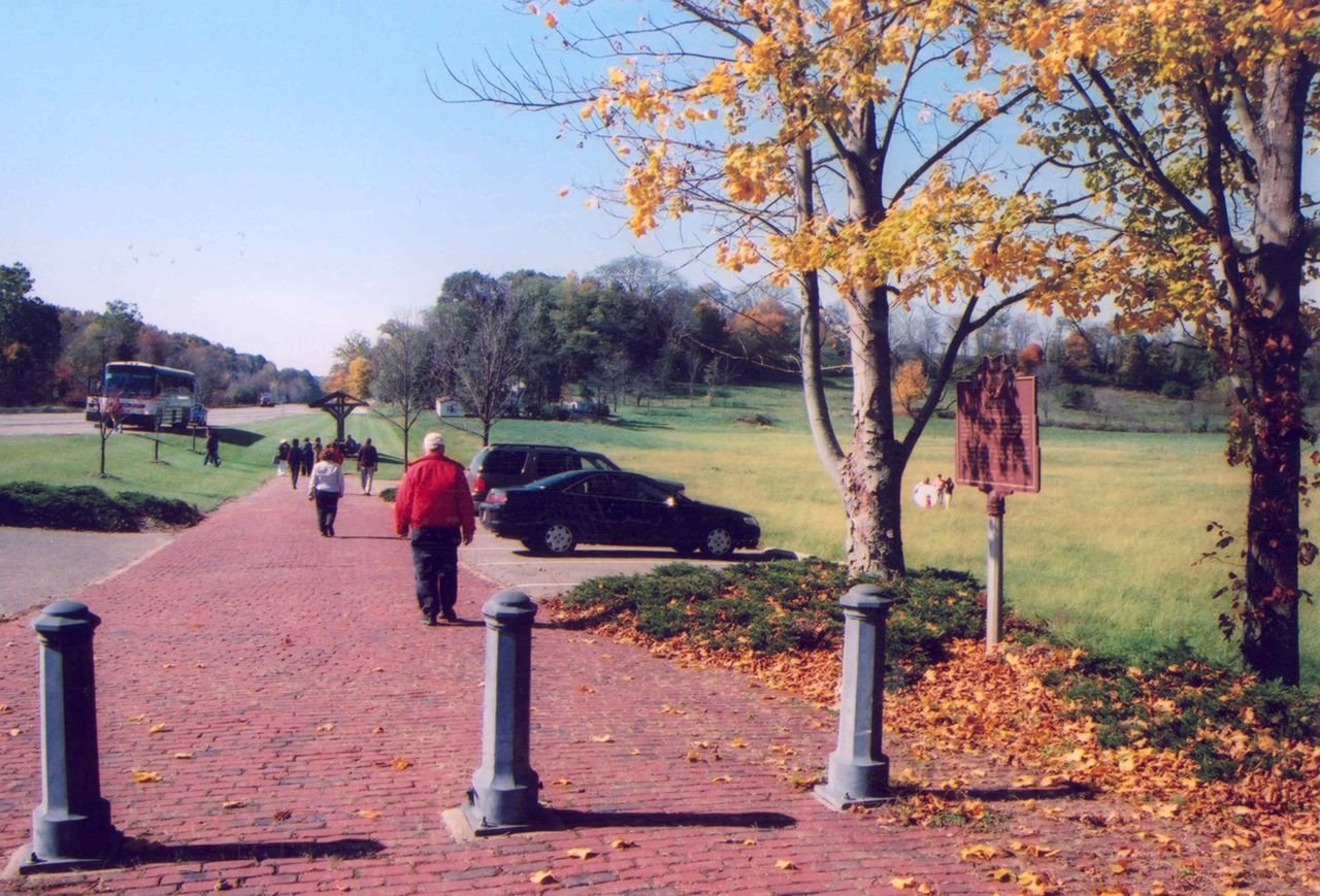
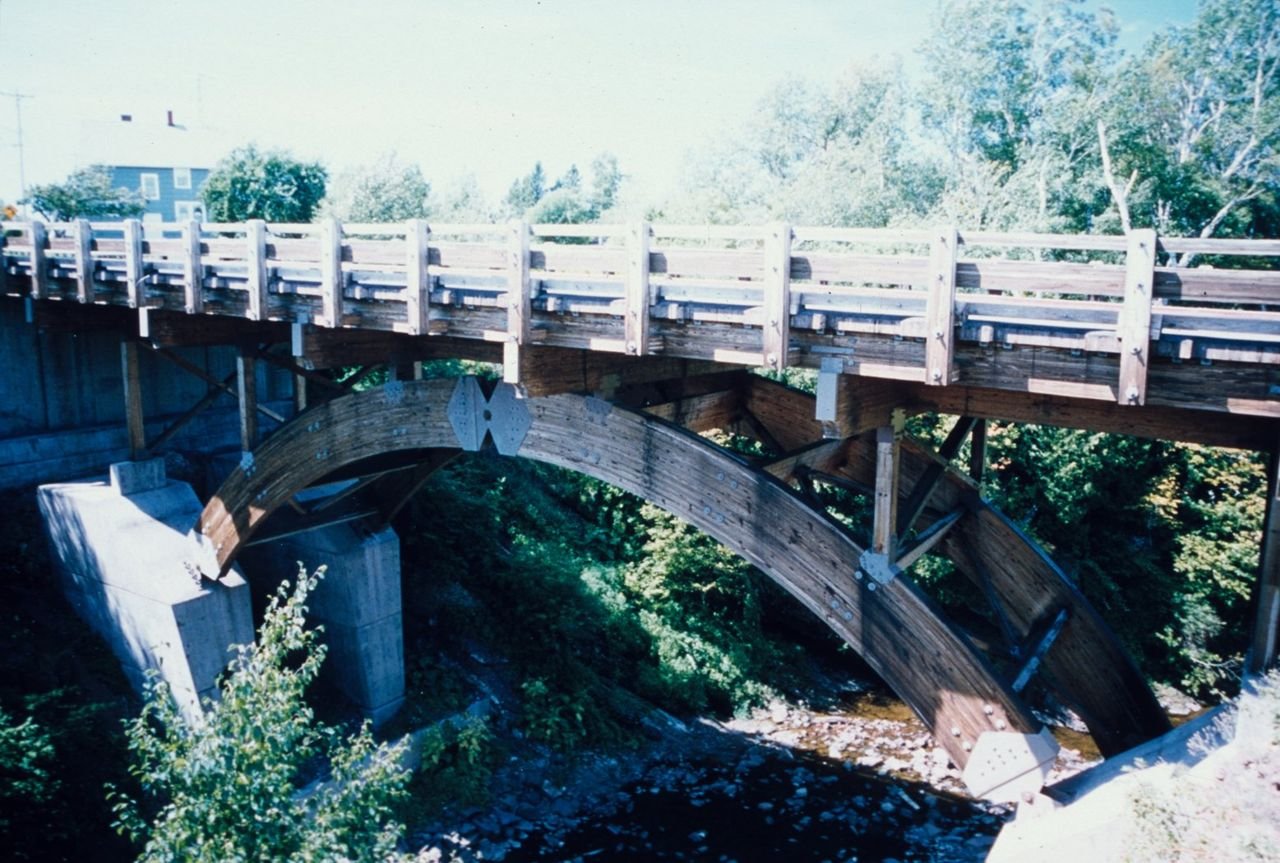
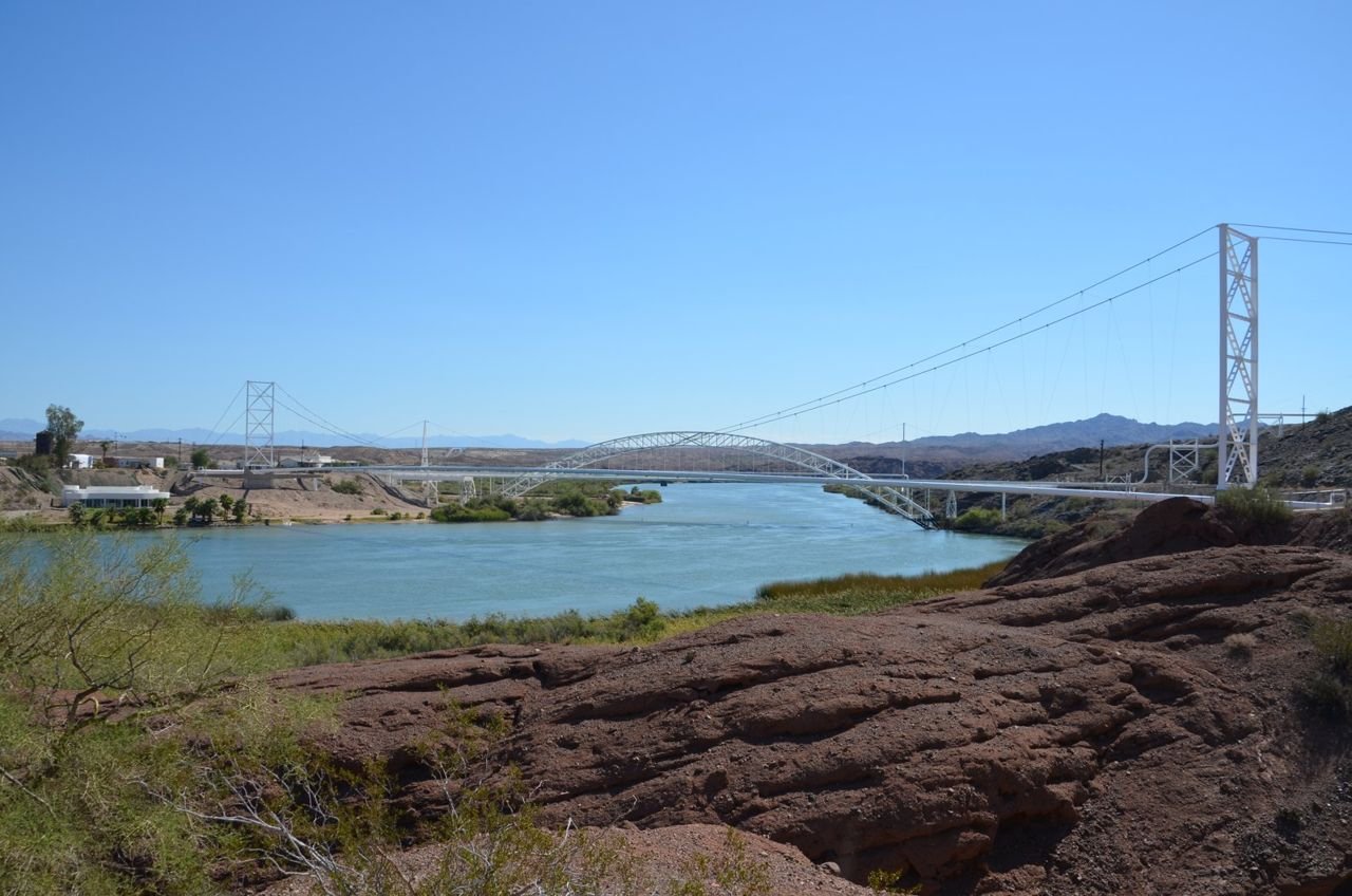
Near the Fox Run Bridge on the National Road
Public Domain. Photo by A. E. Crane
Source & rights record ↗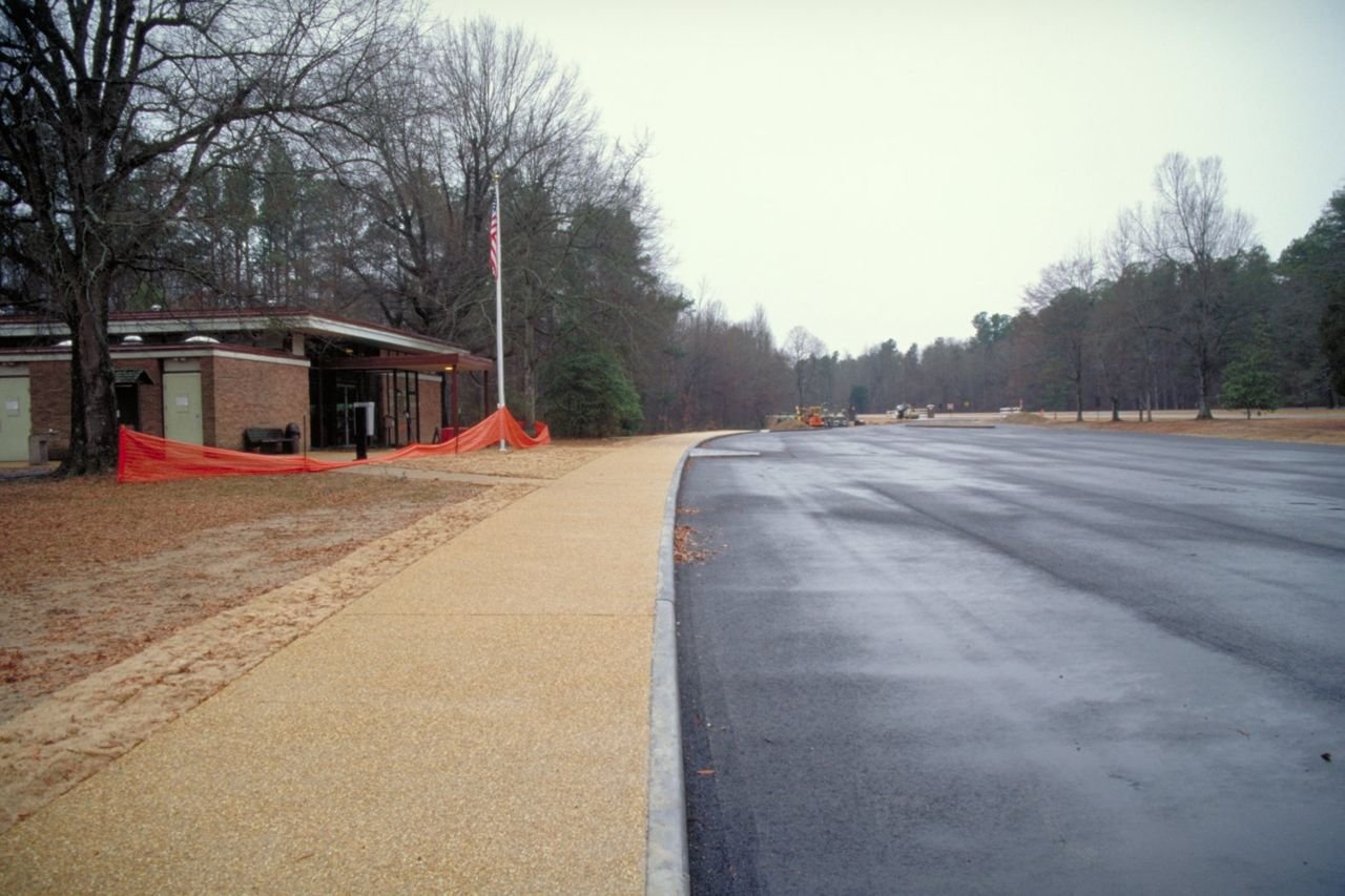
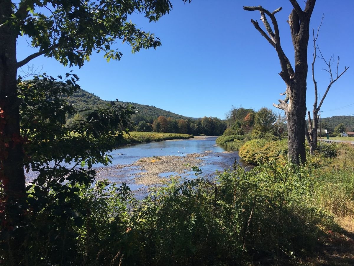
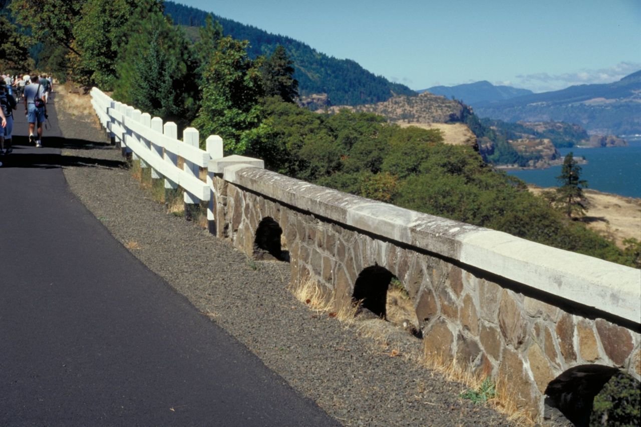
View of the Deerfield River from the Byway in east Charlemont
Public Domain. Franklin Regional Council of Governments
Source & rights record ↗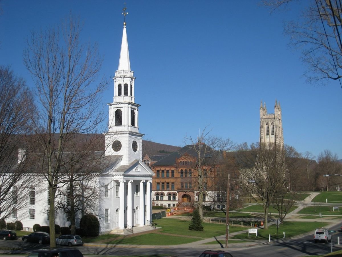
Williamstown on the Mohawk Trail Scenic Byway
Public Domain. Berkshire Regional Planning Commission
Source & rights record ↗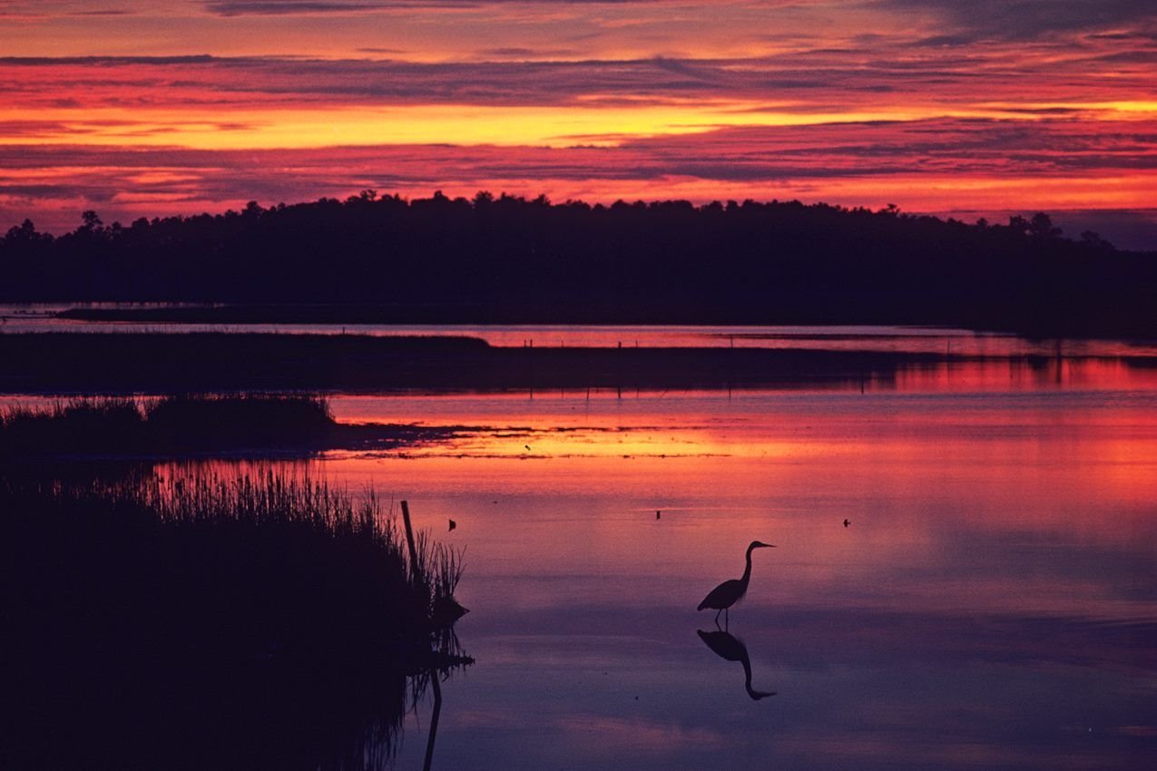
Many people visit Blackwater National Wildlife Refuge to spot birds, like this heron, that rely the natural resources of the landscape.
NPS Photo / Middleton Evans · Public domain, NPS
Source & rights record ↗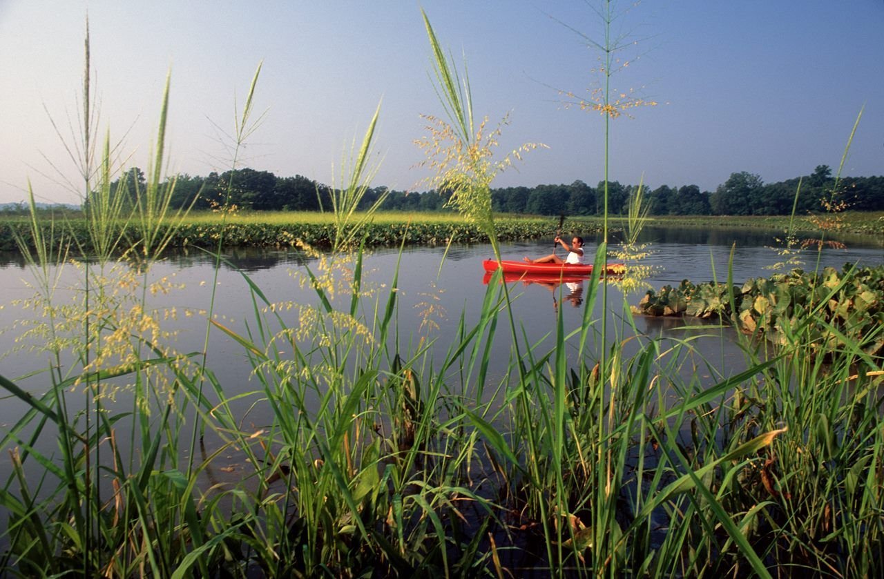
The upper reaches of the Patuxent River at Jug Bay give visitors a view of the Chesapeake region that feels similar to a time before European settlement.
NPS Photo / Middleton Evans · Public domain, NPS
Source & rights record ↗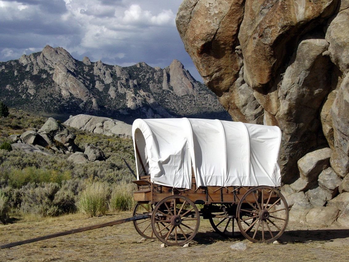
Wagon at Register Rock in City of Rocks National Reserve
NPS Photo · Public domain, NPS
Source & rights record ↗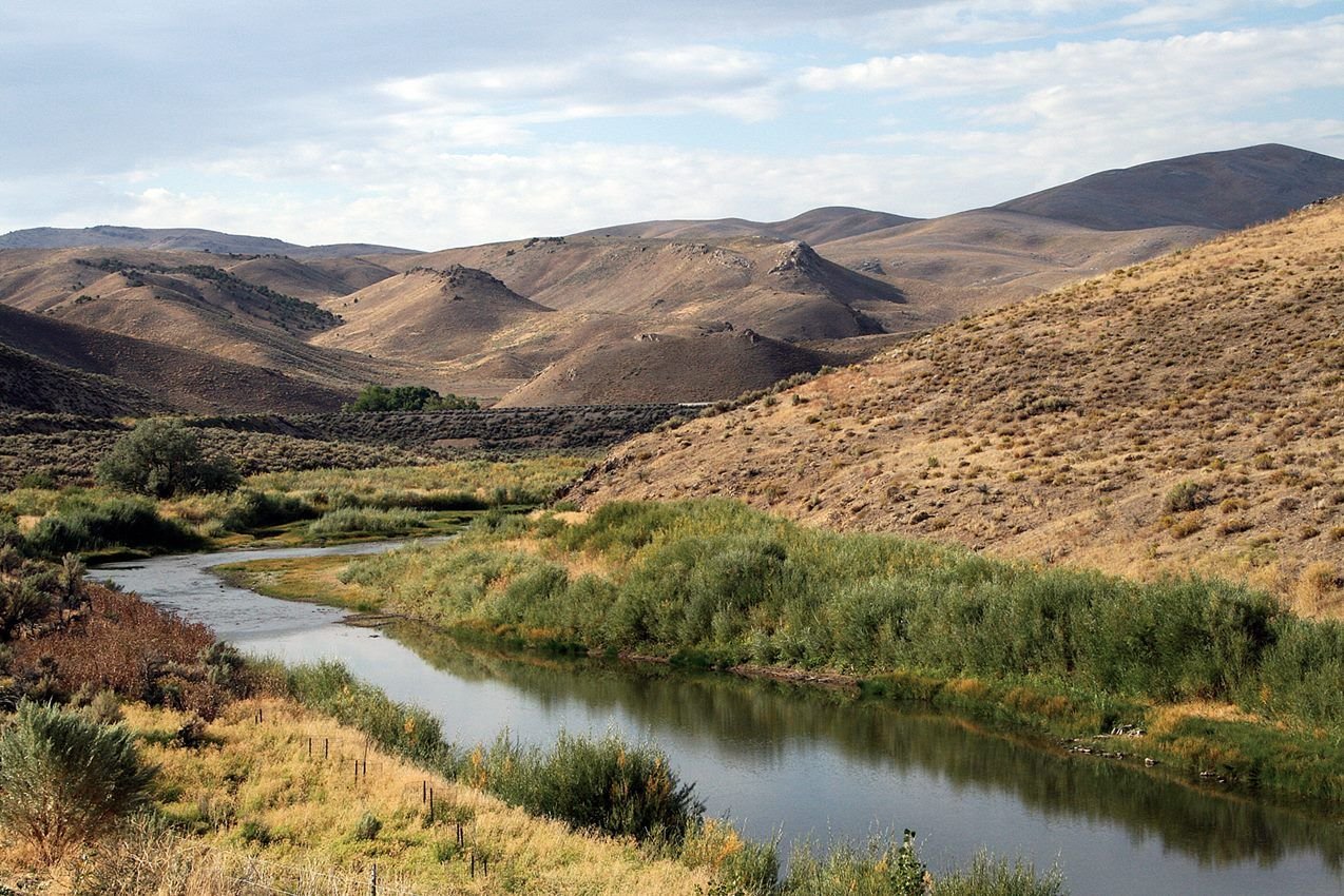
A creek in Carlin Canyon, Nevada on the California Trail
NPS Photo · Public domain, NPS
Source & rights record ↗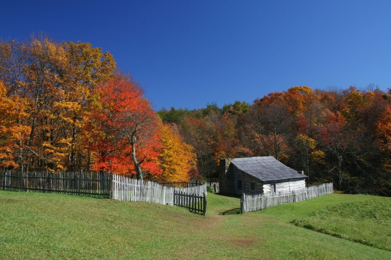
Weathered log cabins greet visitors to Hensley Settlement
NPS Photo · Public domain, NPS
Source & rights record ↗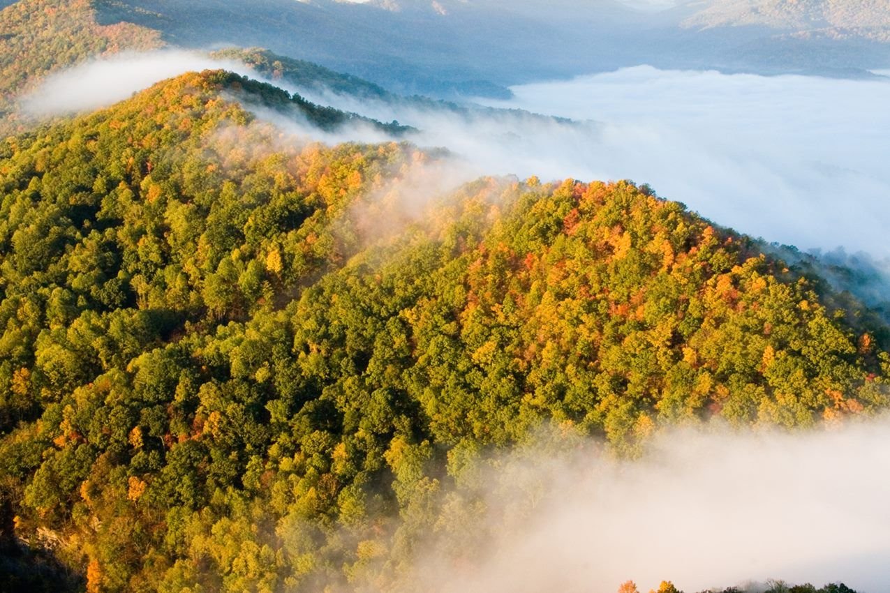
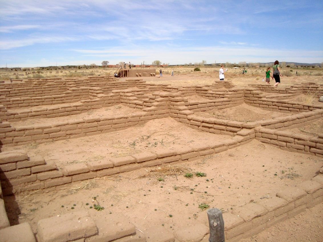
The Tiwa pueblo of Kuaua lies in ruin at Coronado Historic Site. The site includes a rebuilt kiva that displays reproductions of original murals adorning its walls. Be sure to go to the visitor center where some of the original murals are displayed.
NPS · Public domain, NPS
Source & rights record ↗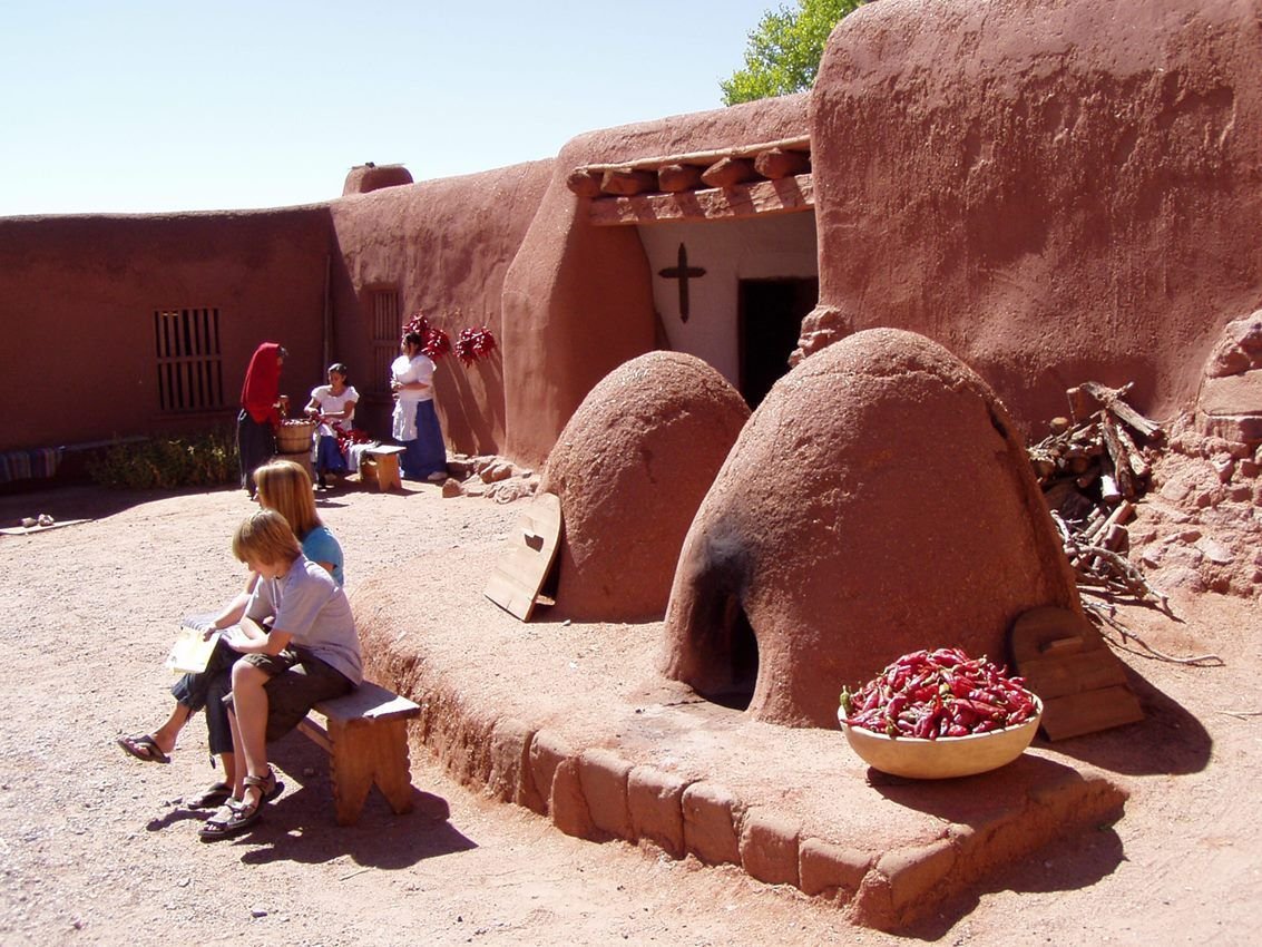
El Rancho de las Golondrinas was a historic paraje (stopping place) along El Camino Real. “The ranch of the swallows” dates from the early 1700s, and is now being used as a living history museum.
NPS · Public domain, NPS
Source & rights record ↗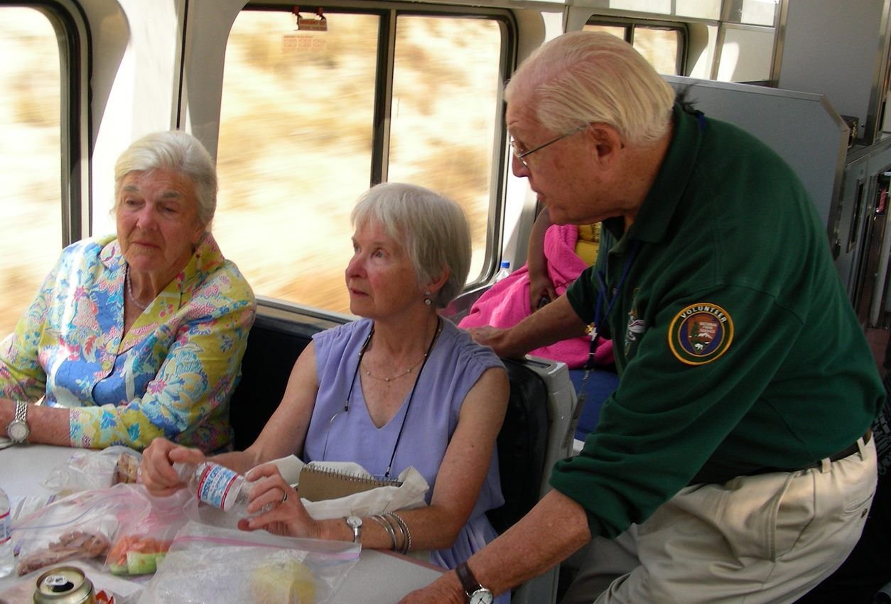
Anza Trail volunteers ride the Amtrak Coast Starlight to share about California's landscape and history.
NPS Photo · Public domain, NPS
Source & rights record ↗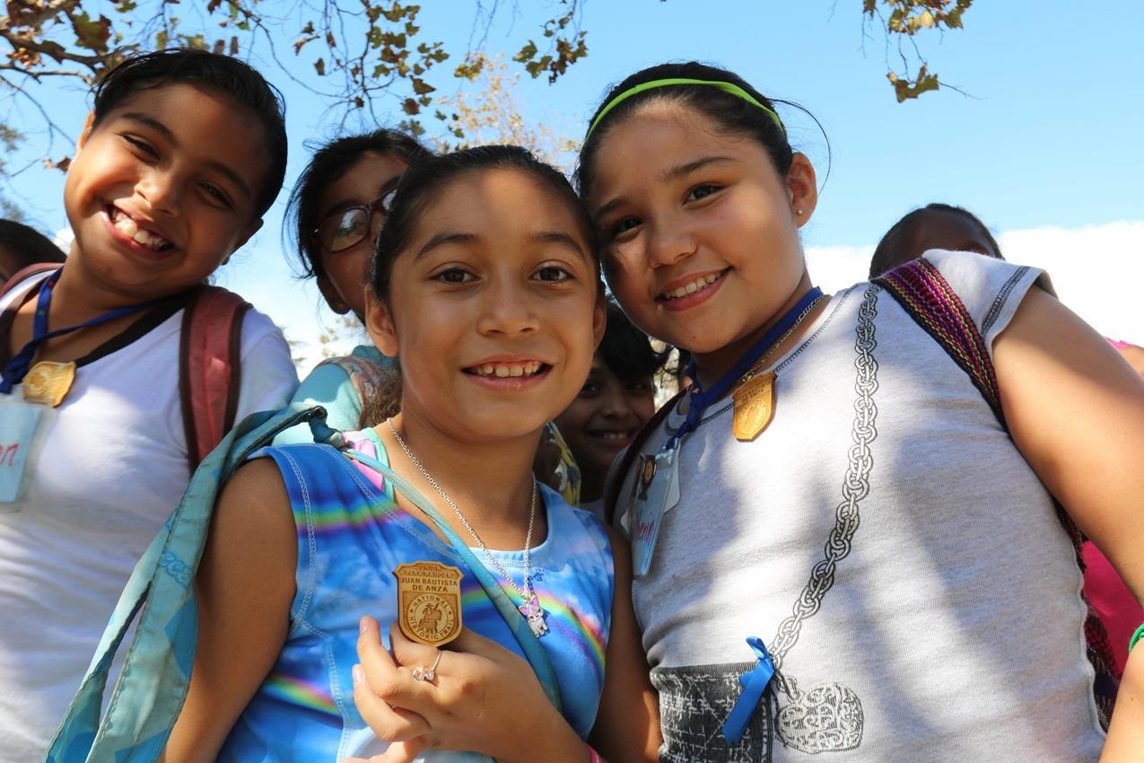
Kids stand holding their Anza Trail Junior Ranger badges
NPS photo · Public domain, NPS
Source & rights record ↗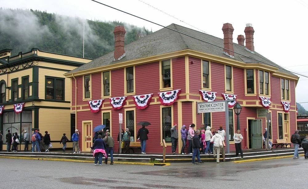
Start your visit to Klondike Gold Rush NHP at the Visitor Center and Museum on 2nd Ave and Broadway
NPS Photo · Public domain, NPS
Source & rights record ↗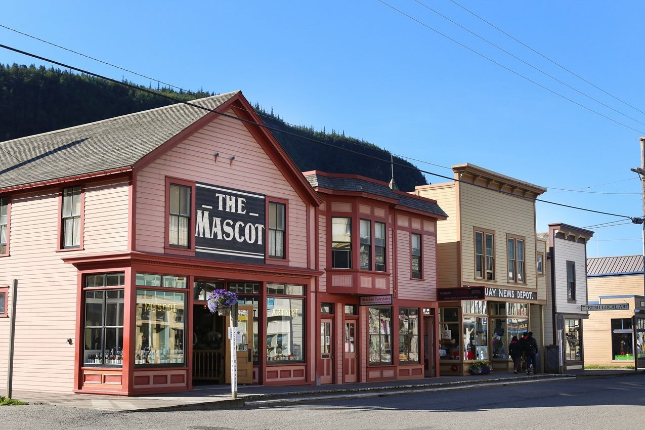
Explore history with the restored buildings at Klondike Gold Rush National Historical Park
NPS Photo/S. Millard · Public domain, NPS
Source & rights record ↗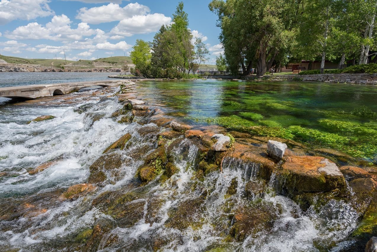
Giant springs is a site along the Lewis and Clark National Historic Site located in Great Falls, Montana
NPS Photo / Alex Wiles · Public domain, NPS
Source & rights record ↗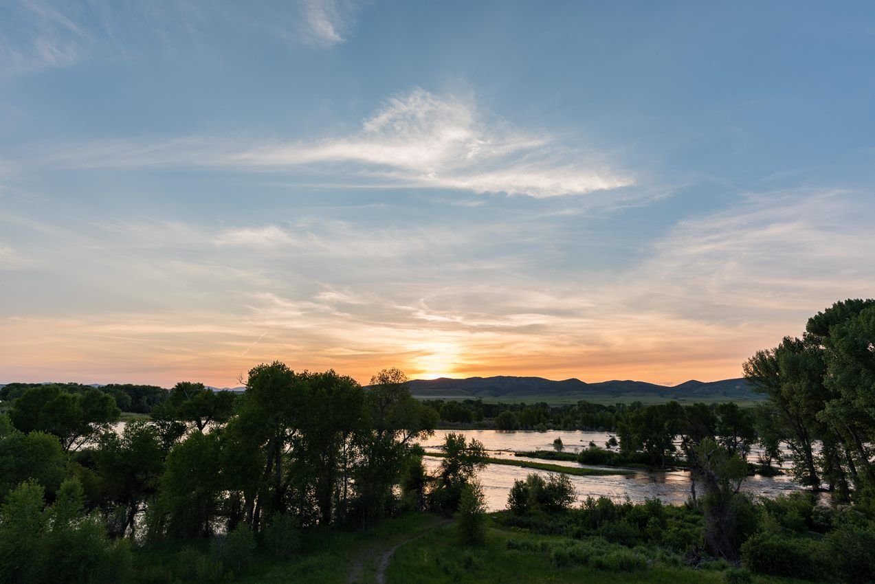
Sunset over Missouri River headwaters
NPS Photo / Alex Wiles · Public domain, NPS
Source & rights record ↗
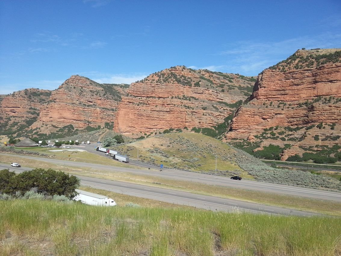
Echo Canyon on the way from Wyoming to Salt Lake City, Utah is both beautiful and historic.
NPS photo · Public domain, NPS
Source & rights record ↗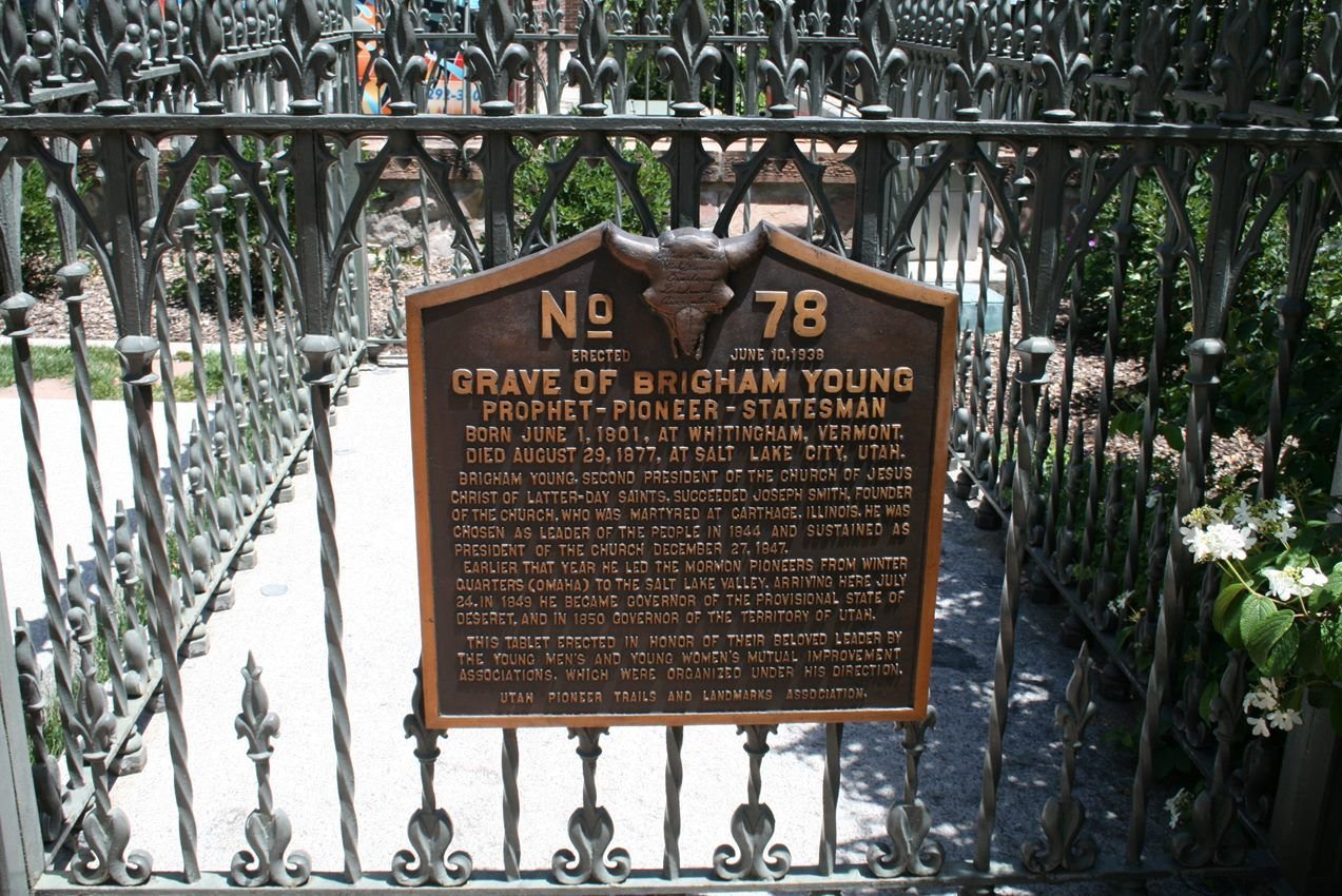
Brigham Young's grave lies in the heart of downtown Salt Lake City, Utah
NPS photo · Public domain, NPS
Source & rights record ↗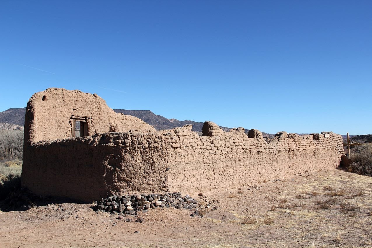
Santa Rosa de Lima de Abiquiú provided a way station for travelers along the Old Spanish Trail in the 1800s. It is privately owned by the Archdiocese of Santa Fe.
NPS · Public domain, NPS
Source & rights record ↗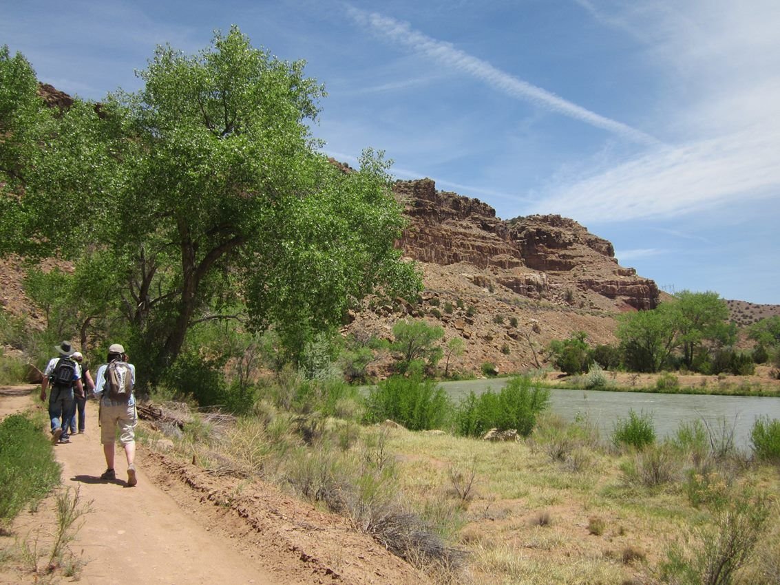
This section of the Rio Chama River, tributary of the Rio Grande, is located about six miles north of Abiquiú, New Mexico and flows through the Carson National Forest.
NPS · Public domain, NPS
Source & rights record ↗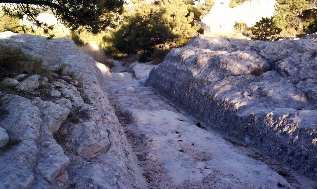
The Guernsey Ruts in Wyoming feature deeply eroded rock from wagon traffic.
NPS photo · Public domain, NPS
Source & rights record ↗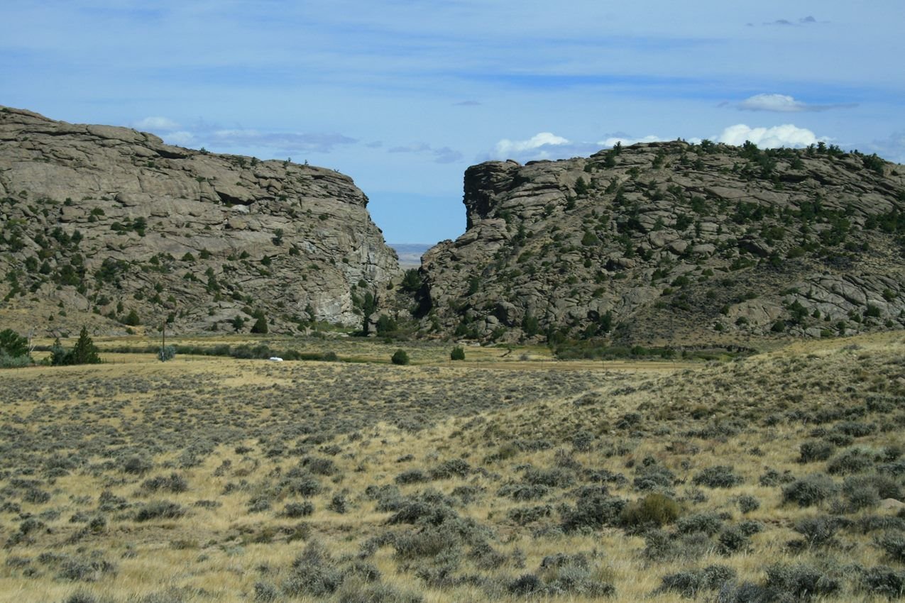
Devil's Gate was an important emigrant landmark in Wyoming.
NPS Photo · Public domain, NPS
Source & rights record ↗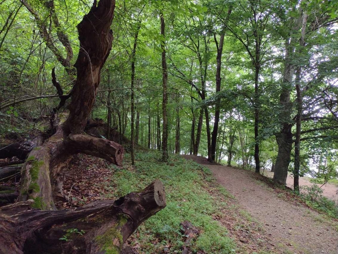
Hiking sections of the Overmountain Victory Trail is a favorite pastime.
NPS · Public domain, NPS
Source & rights record ↗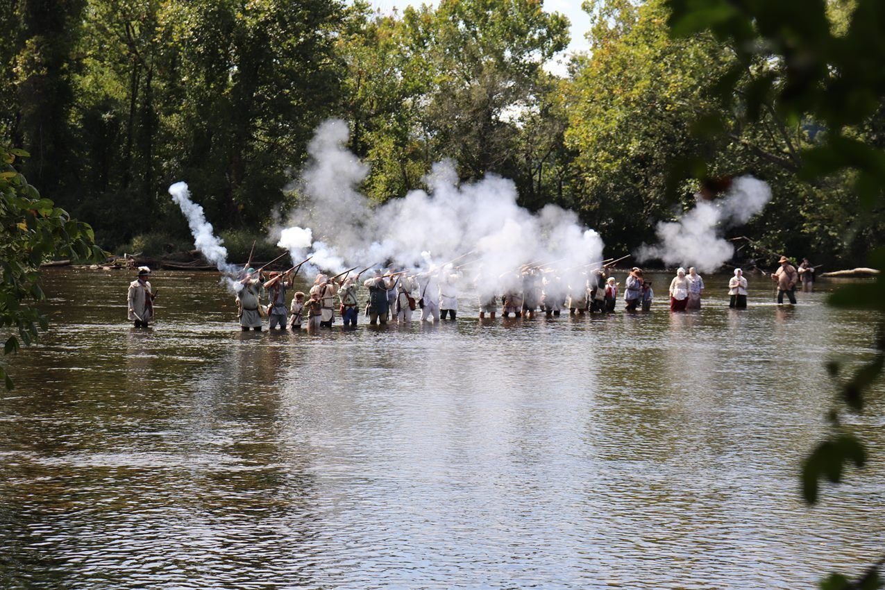
Living historians bring the Overmountain Victory Trail to life.
NPS · Public domain, NPS
Source & rights record ↗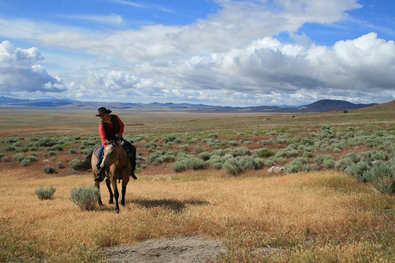
A National Pony Express Association rider poses at Simpson Springs in Utah.
NPS photo · Public domain, NPS
Source & rights record ↗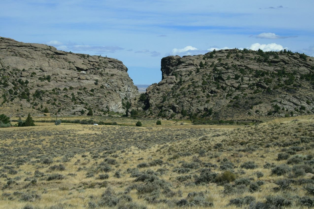
Devil's Gate was an important landmark on the trail in Wyoming.
NPS photo · Public domain, NPS
Source & rights record ↗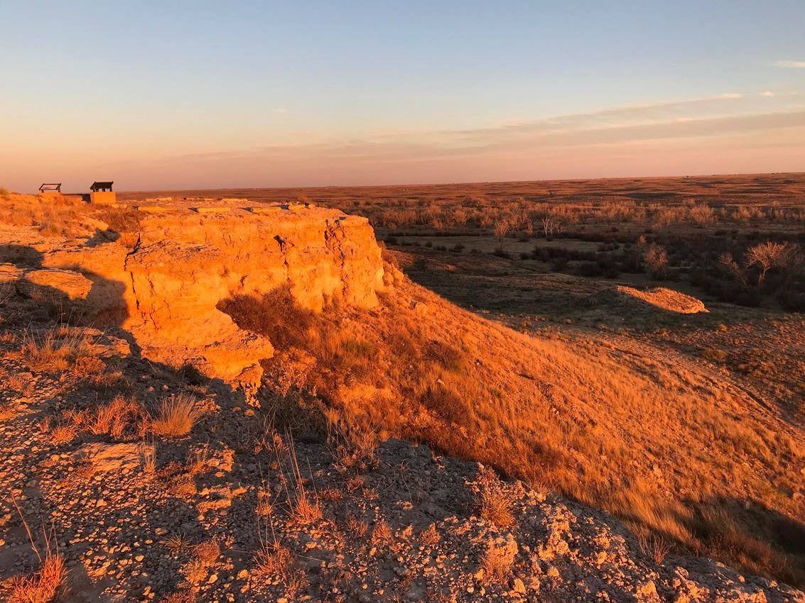
Visit Cimarron National Grassland to experience the Santa Fe Trail.
NPS Photo · Public domain, NPS
Source & rights record ↗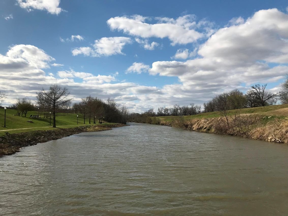
The Neosho River in Council Grove was an important crossing on the trail.
NPS Photo · Public domain, NPS
Source & rights record ↗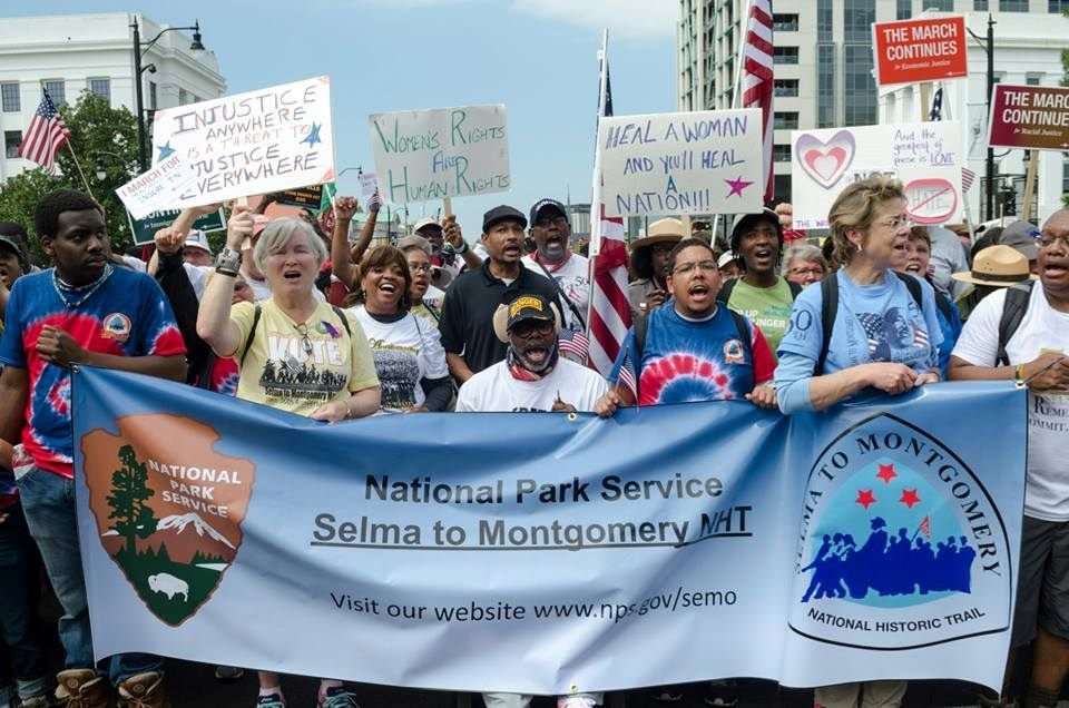
During the 50th Anniversary Walking Classroom event participants marched nearly 54-miles from Selma to Montgomery.
NPS Photo · Public domain, NPS
Source & rights record ↗
Hundreds March Through The Streets of Montgomery.
NPS Photo · Public domain, NPS
Source & rights record ↗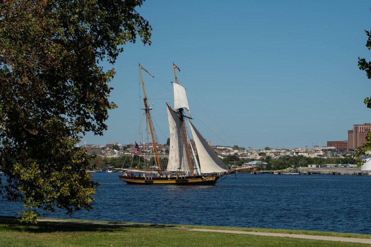
The PRIDE OF BALTIMORE II is a sailing ambassador for the Trail.
NPS/ Tim Ervin · Public domain, NPS
Source & rights record ↗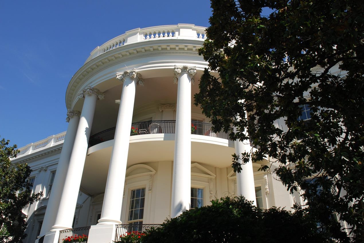
British forces set fire to the original home of the U.S. president on August 26, 1814.
NPS/ T. Adams · Public domain, NPS
Source & rights record ↗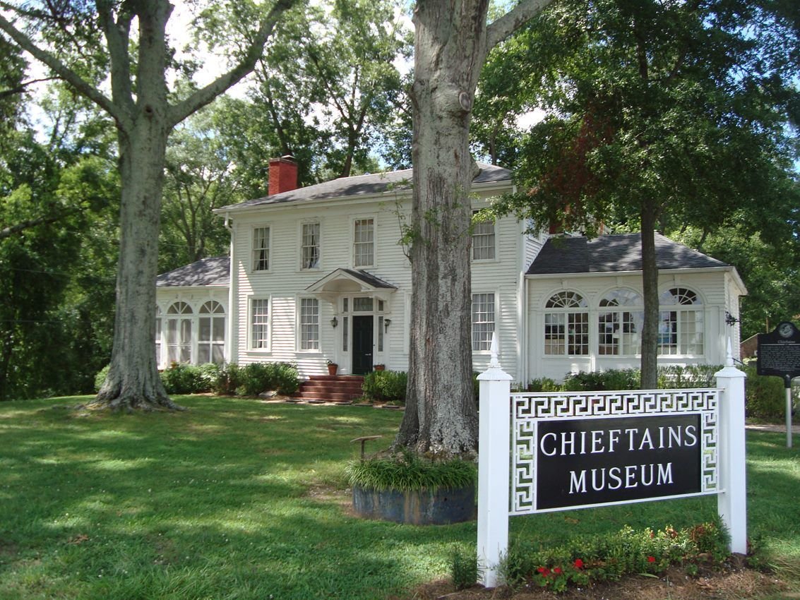
The museum tells the story of Major Ridge, the influential Ridge family including prominent son John Ridge, Cherokee history, and the Trail of Tears, as well as subsequent history of the home and region.
NPS · Public domain, NPS
Source & rights record ↗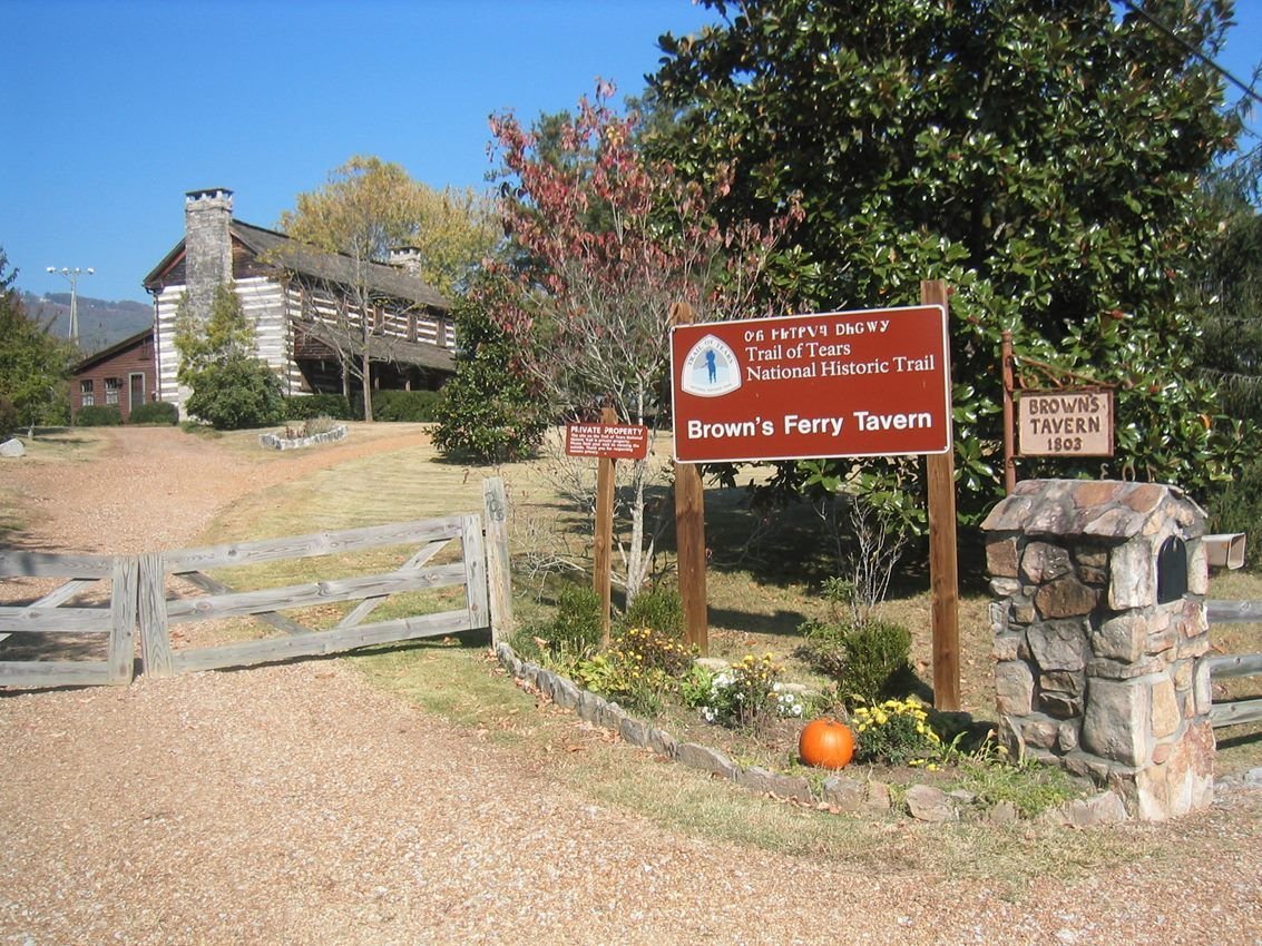
Cherokee leader John Brown, who owned 640 acres in this area, ordered the construction of Browns Ferry Tavern in 1803. In 1838, the road running past this structure was the route by which several Cherokee detachments were removed to present-day Oklahoma.
NPS · Public domain, NPS
Source & rights record ↗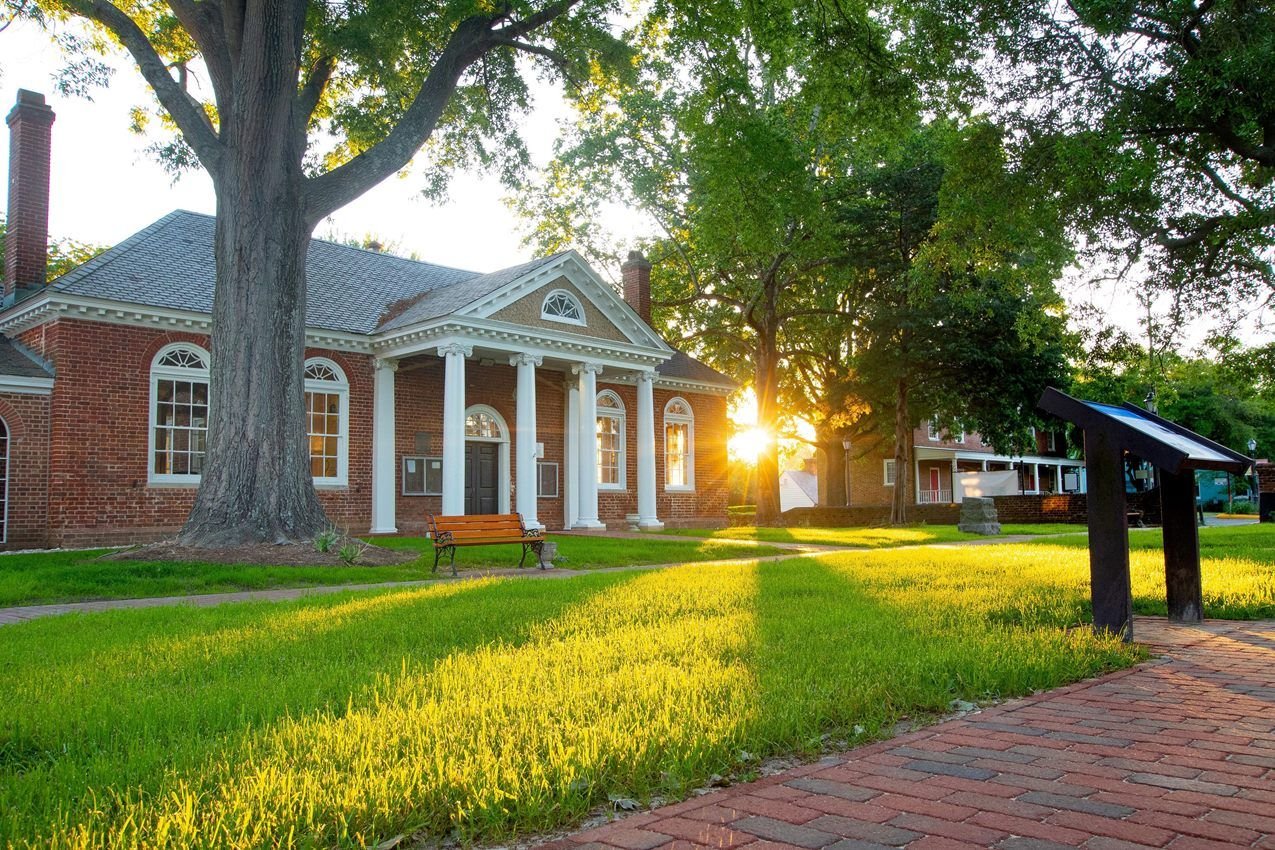
Morning light shines across Gloucester Courthouse in Gloucester, Virginia. During the 1781 Yorktown campaign, allied operations extended into Gloucester County, including the movement of Lauzun’s Legion across the York River from Yorktown.
NPS Photo · Public domain, NPS
Source & rights record ↗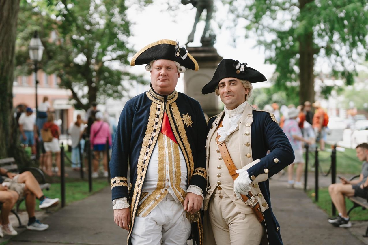
Living history programs help connect visitors to the American and French alliance, Newport’s role as a French army base, and the story of the Washington-Rochambeau Revolutionary Route.
NPS Photo · Public domain, NPS
Source & rights record ↗